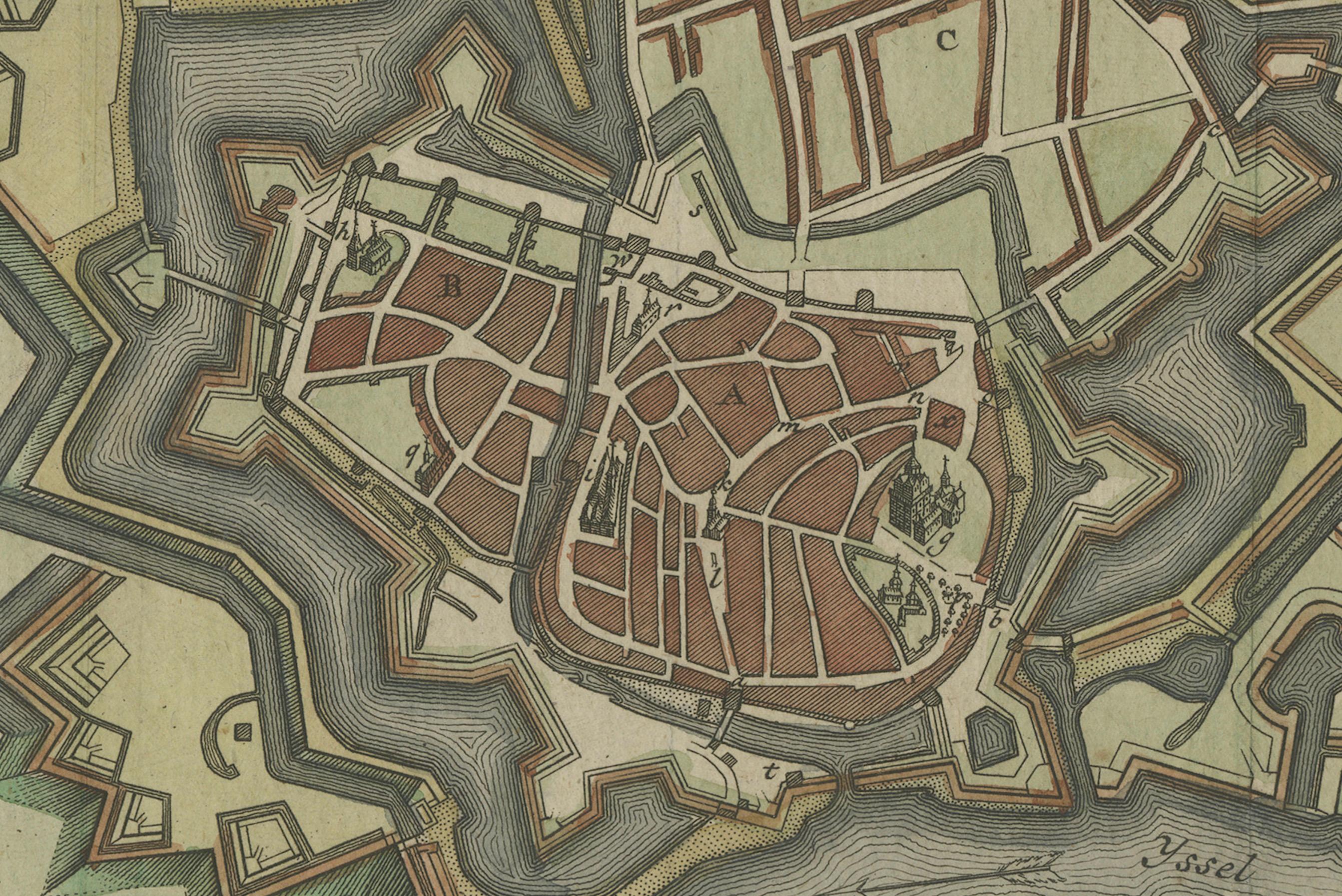
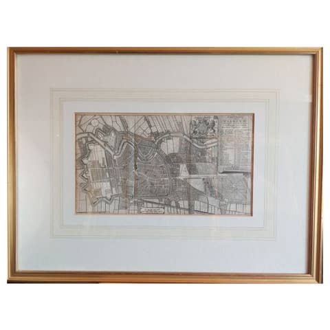
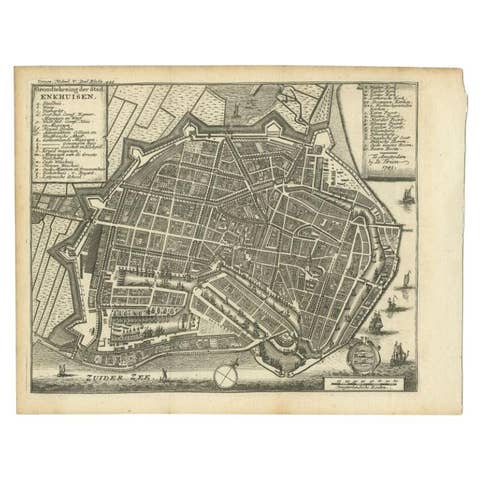
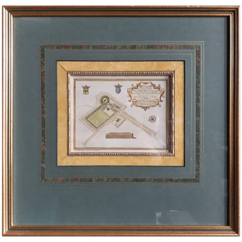
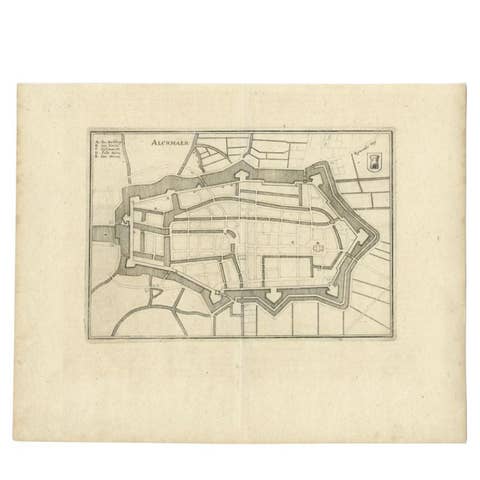
Detailed Plan of the City of Zutphen, The Netherlands – Hendrik de Leth, c.1740
€ 480
One of a kind: this is the sheet in the photographs. Ships from Langweer, the Netherlands.
Date
1740
Sheet size
35 × 38 cm (13.8 × 15.0 in)
Condition
Good
Reference
BG-02857
Condition
The map is in excellent condition, with vibrant hand-coloring, no visible tears or discoloration, and elegantly mounted on a cream matting board for display.
About this sheet
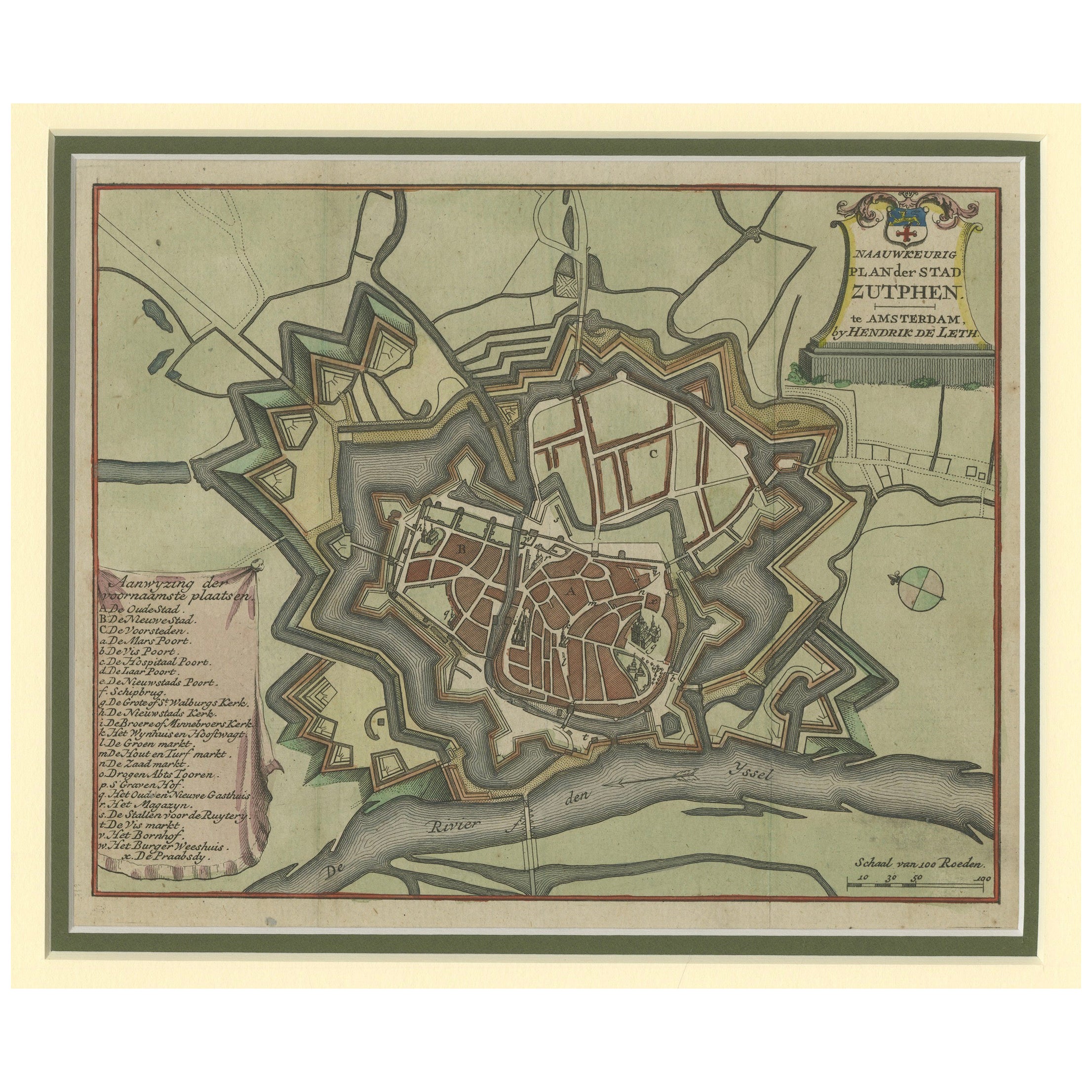
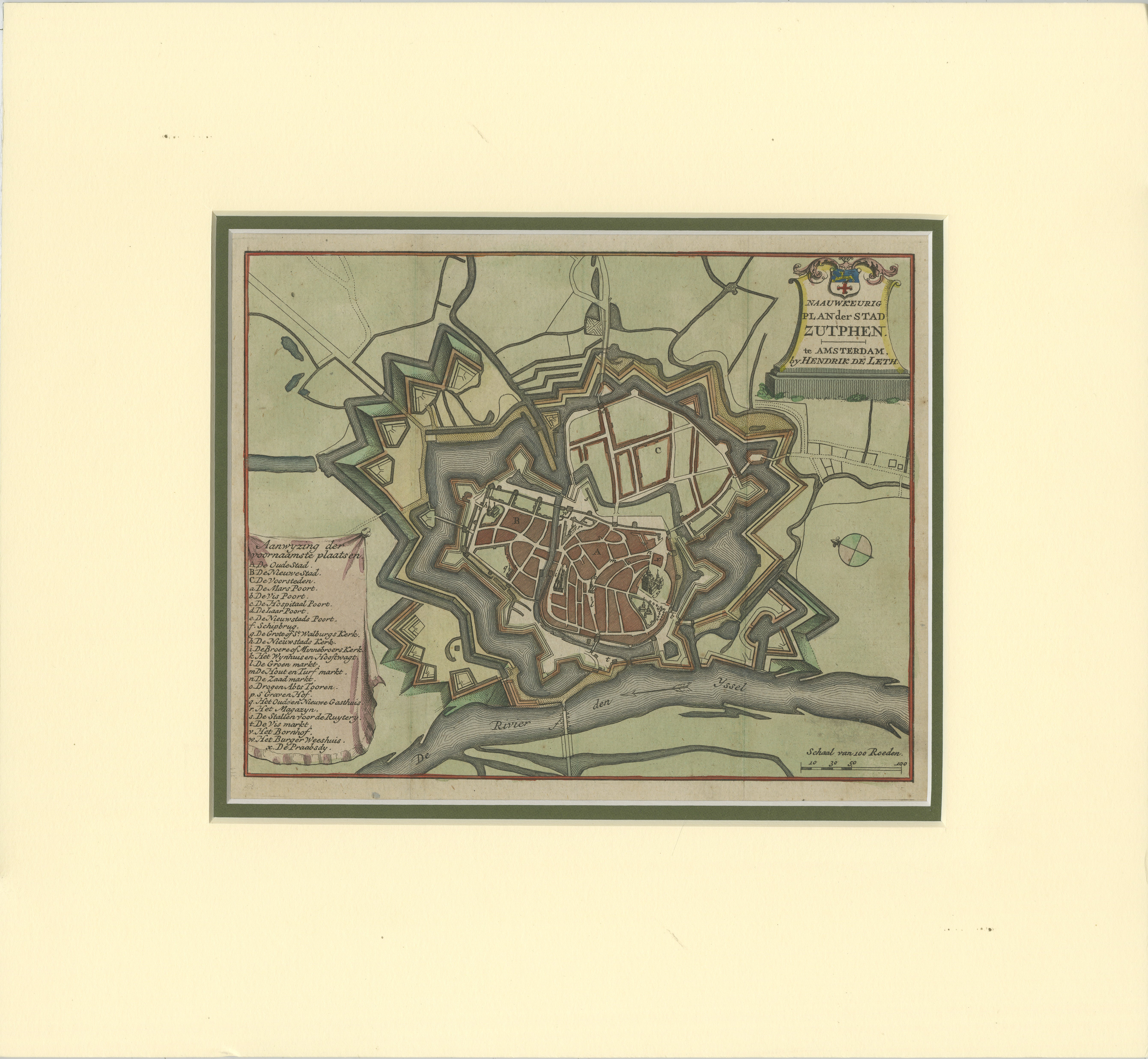
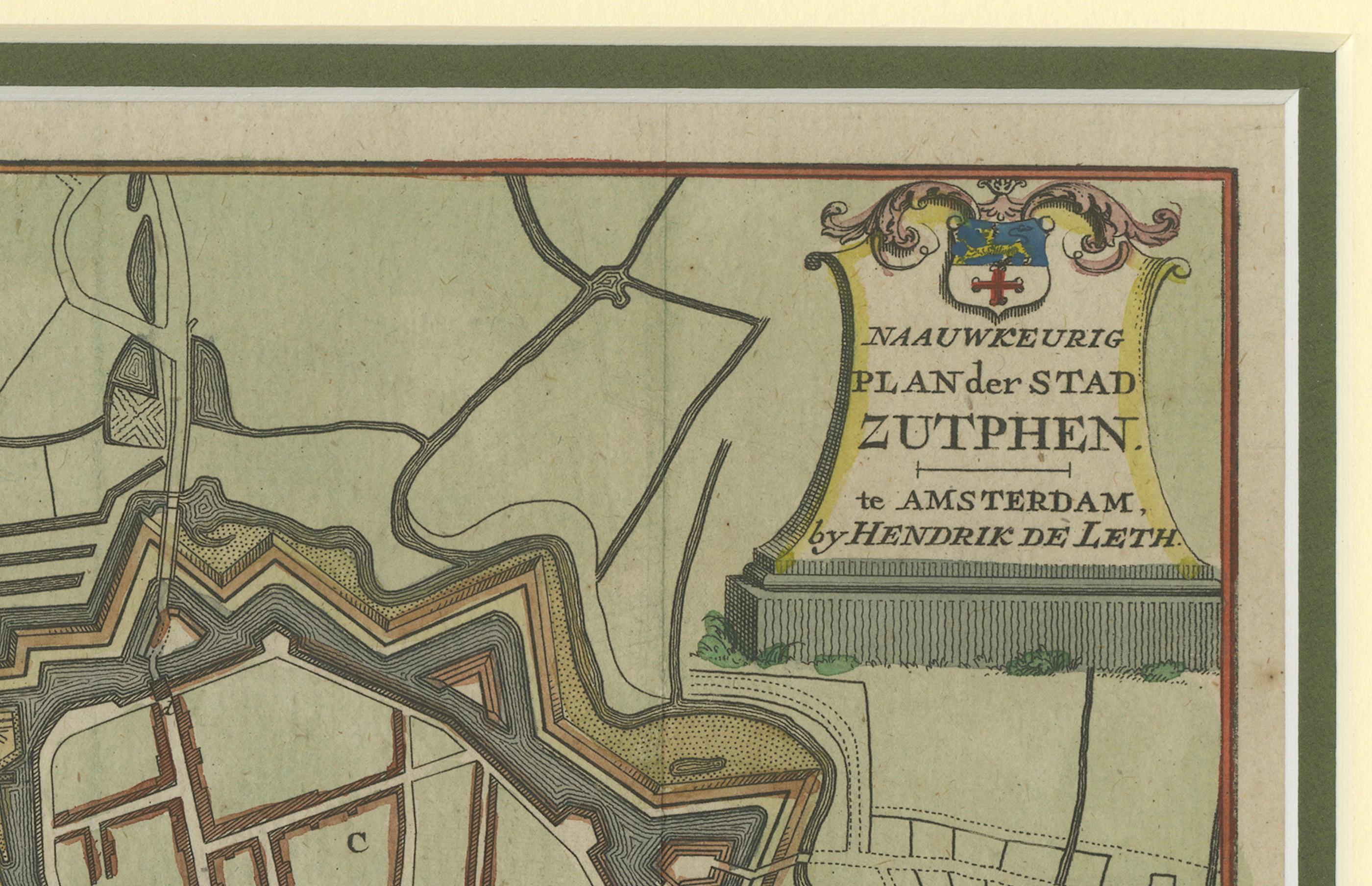
This hand-colored engraving, created by Hendrik de Leth and published around 1740, presents a detailed and precise plan of the fortified city of Zutphen in the Netherlands. The map showcases the city’s intricate star-shaped fortifications, a hallmark of 17th and 18th-century military architecture. The canals, bastions, and strategic defenses surrounding Zutphen reflect its importance as a fortified town along the IJssel River.
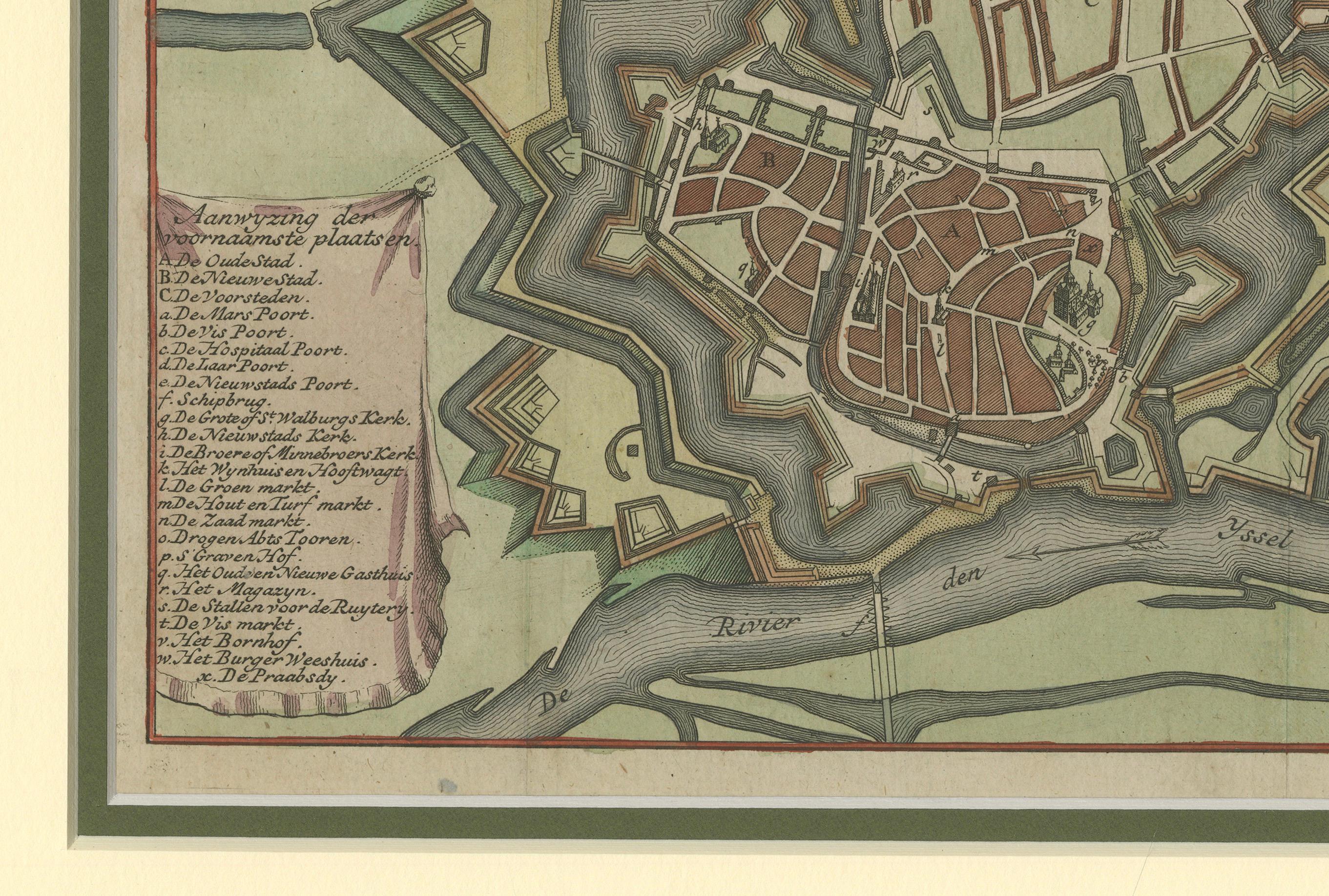
The plan includes a numbered legend that identifies key locations and landmarks within the city, such as gates, buildings, and public spaces, providing a valuable historical record of Zutphen's urban and defensive layout during the early 18th century.
This map is presented in excellent condition, with vibrant hand-coloring that enhances the details of the fortifications, waterways, and urban structures. It is elegantly mounted on a cream matting board with a dark inner border, ensuring both protection and a refined display.
Hendrik de Leth was a renowned Dutch cartographer and engraver, known for his meticulous city plans and landscapes. His works are celebrated for their accuracy and artistic quality, making this map a fascinating example of his craftsmanship.
This piece is not only an important historical artifact for those interested in Dutch history and cartography but also a striking decorative addition for collectors of antique maps and city plans.