About this sheet
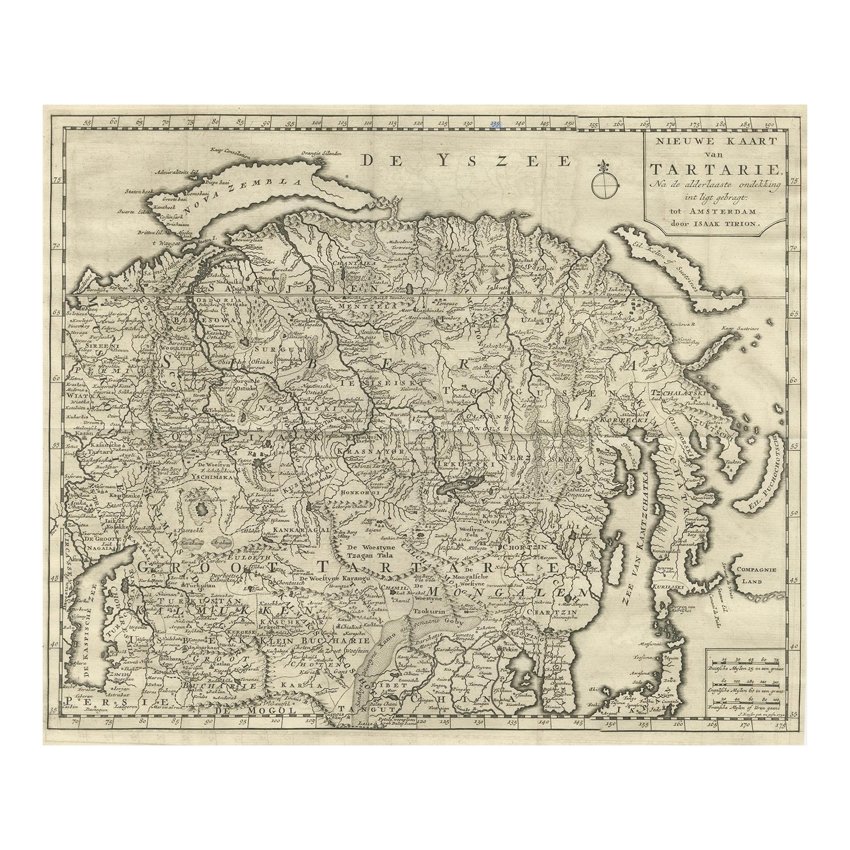
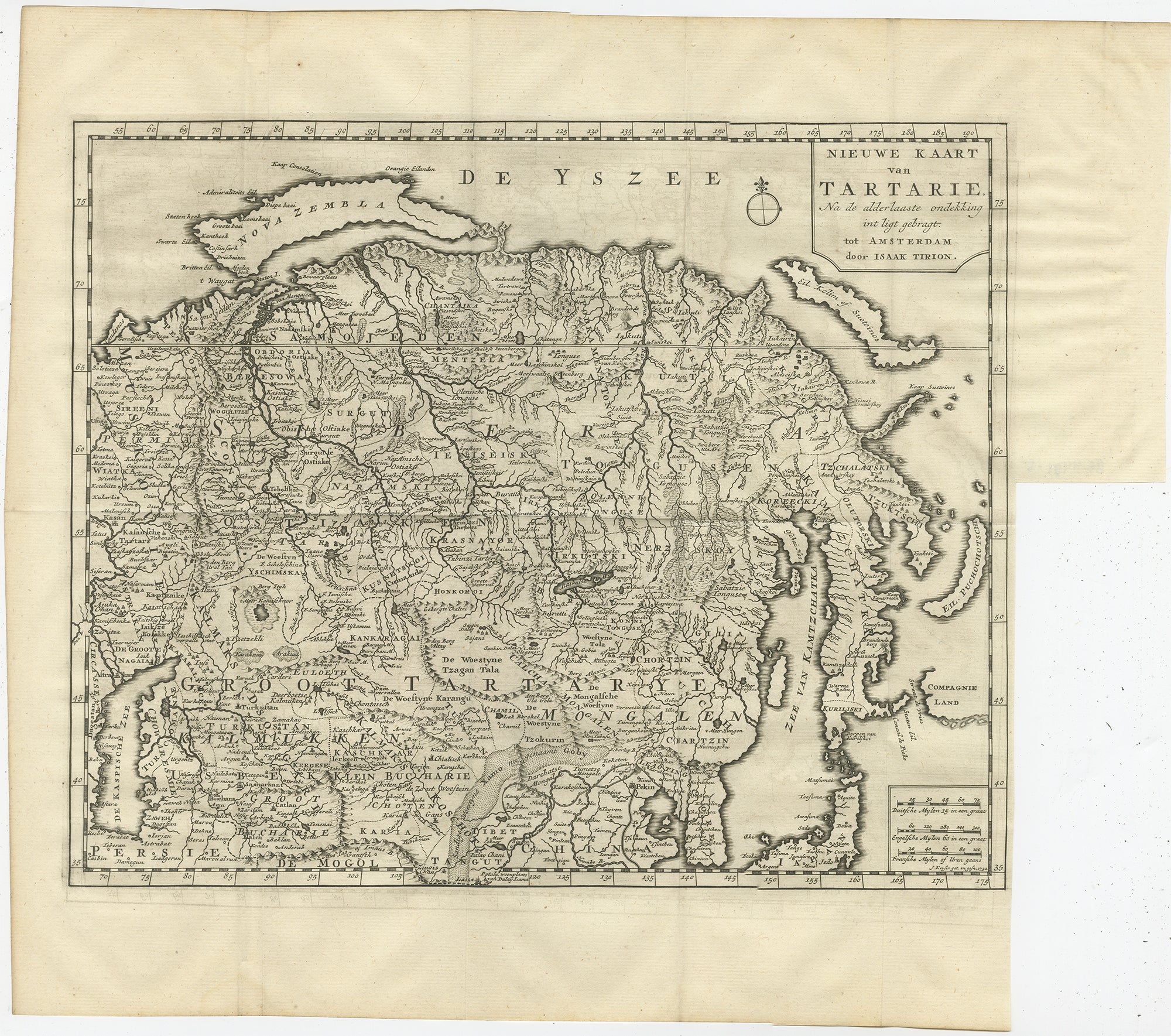
Antique Map of Tartary – “Nieuwe Kaart van Tartarie” by Isaak Tirion, Amsterdam c.1730
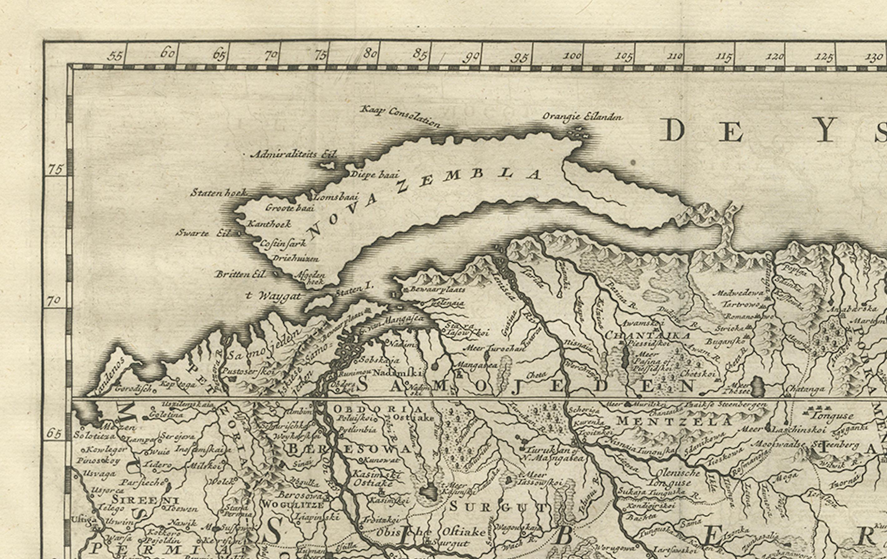
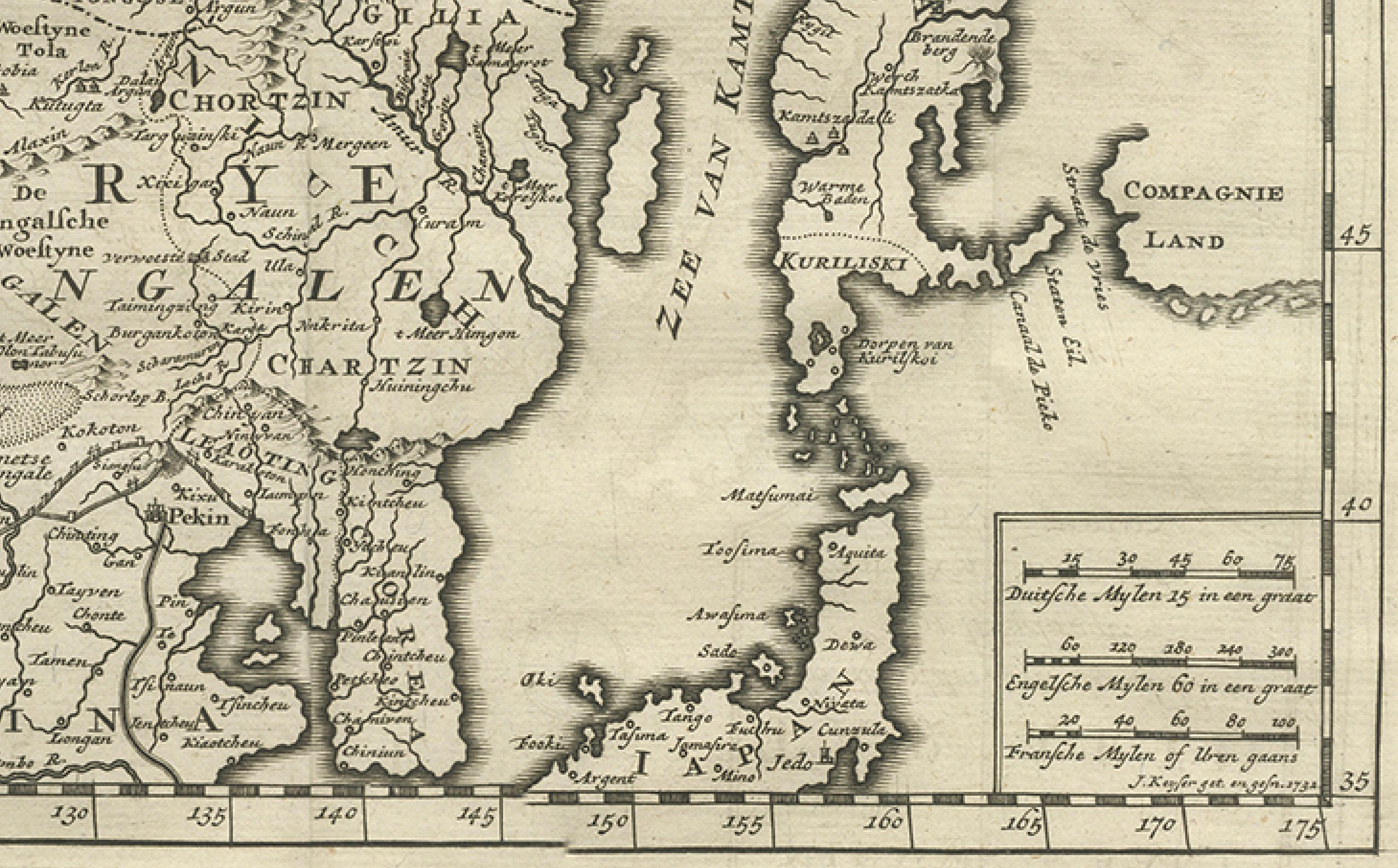
This finely engraved 18th-century map titled “Nieuwe Kaart van Tartarie” (New Map of Tartary) presents a detailed and expansive view of Northern and Central Asia as understood by European geographers in the early 1700s. Published in Amsterdam by Isaak Tirion, a prominent Dutch cartographer and publisher, this map illustrates vast regions of what was historically referred to as Tartary—a term broadly used in Europe to describe the territories stretching from the Caspian Sea across Siberia and Mongolia to the Pacific.
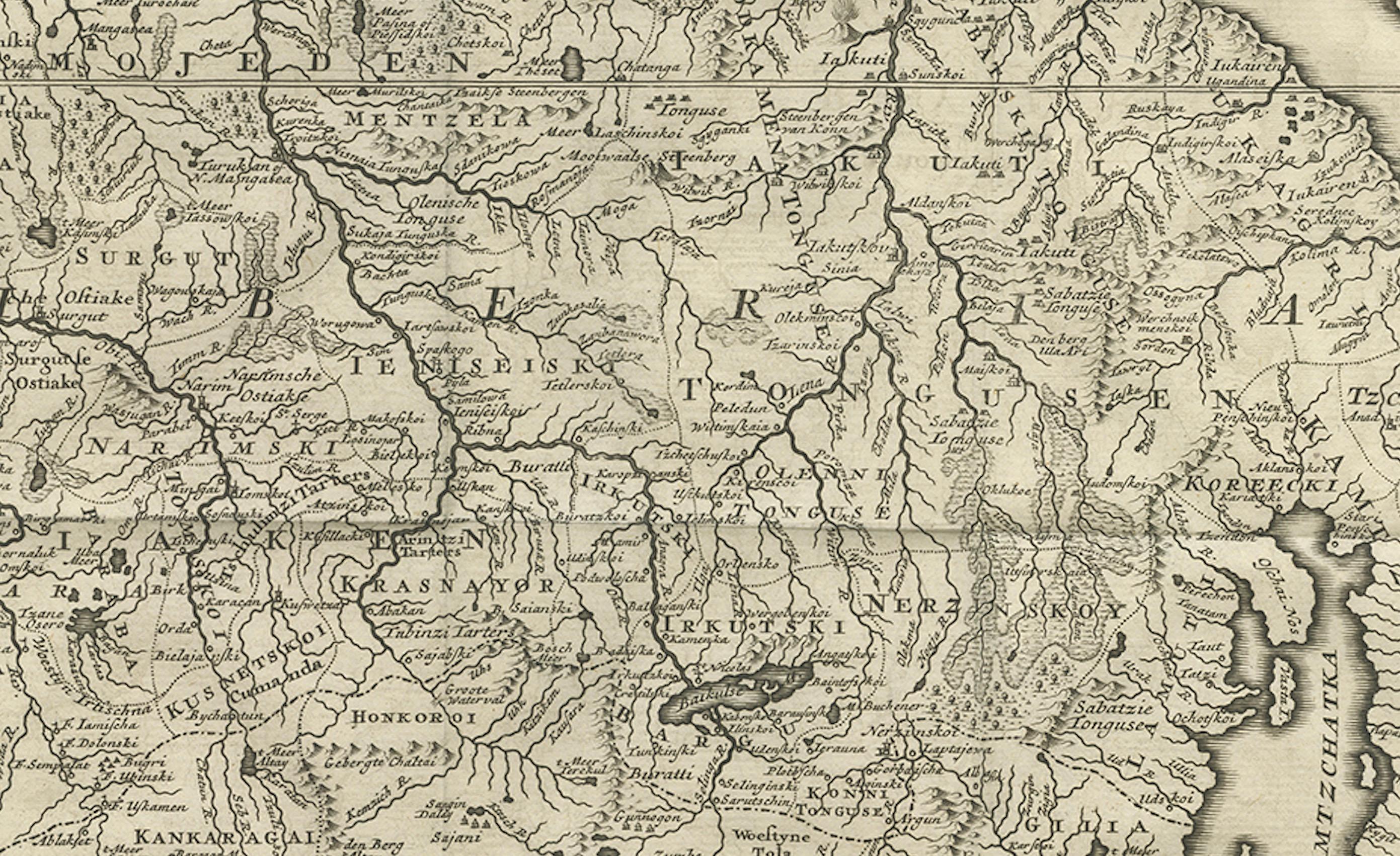
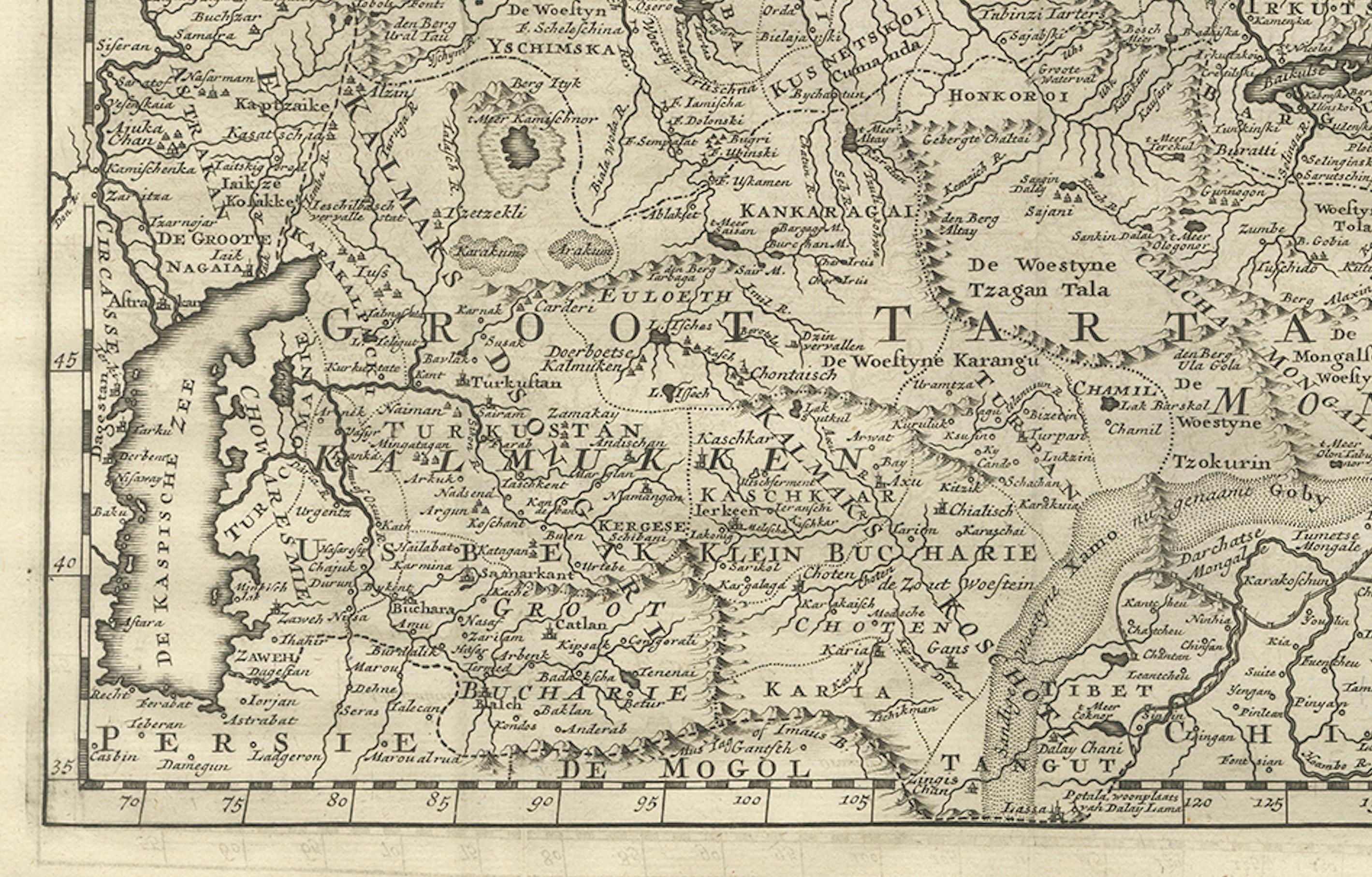
The map encompasses an extraordinary geographic range, including parts of present-day Russia, Mongolia, China, Central Asia, and Korea. It features numerous tribal regions, rivers, mountain ranges, and settlements labeled in Dutch, such as “Groot Tartarije,” “Mongolen,” “Siberien,” and “Kalmukken.” Coastal areas along the “Zee van Japan” (Sea of Japan) and “De Yszzee” (Ice Sea, referring to the Arctic Ocean) are also clearly delineated.
Notably, in the lower right corner appears the enigmatic “Compagnie Land,” a mythical or speculative landmass once thought to exist northeast of Japan. This inclusion reflects the exploratory uncertainty and cartographic curiosity of the era—typical of early 18th-century European maps when distant Asia remained partially unverified by Western surveys.
Tirion’s maps are well-regarded for their precision, aesthetic clarity, and strong engravings, typically included in atlases intended for both scientific and educational use. This particular map showcases his characteristic neat border work, typographic clarity, and topographical detail, serving as a valuable artifact of early Enlightenment-era geographic understanding.
Condition: Very good condition. A strong impression on hand-laid paper with wide margins. Vertical and horizontal folds as issued. Slight toning to the sheet and minor edge wear.
Framing tips: This historically rich map would be well-suited to a classic black or dark walnut frame, paired with an ivory or pale cream mat. For a more antique feel, consider a gold-accented frame or use museum glass to protect the aged paper and display its texture.
Technique: Copperplate engraving
Maker: Isaak Tirion, Amsterdam, circa 1730