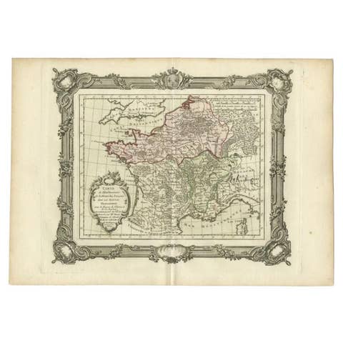
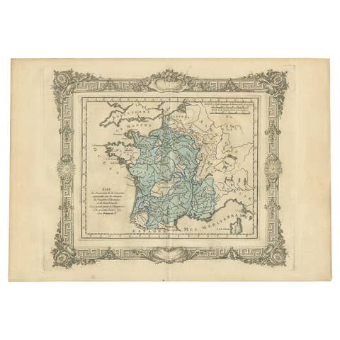
Old Map of Part of France: Poitou, Berry, Bourbonnais, and Nivernais in 1768
€ 360
Original antique · The actual sheet photographed · Certificate of authenticity on request · Sold unframed · Worldwide shipping from € 15 (rates)
Date
1768
Sheet size
33.5 × 51.5 cm (13.2 × 20.3 in)
Condition
Good
Reference
BG-13706-3
What the condition grades mean
Excellent
Bright and clean, with no faults worth mentioning.
Very good
Only light signs of age, such as faint toning.
Good
Normal signs of age for a sheet of this period: toning, some foxing, small marks or neat old repairs.
Fair
Clear faults such as staining, tears or repairs, priced to match.
Every fault we see is written in the condition note, and the whole sheet is shown uncropped in the photos.
Condition
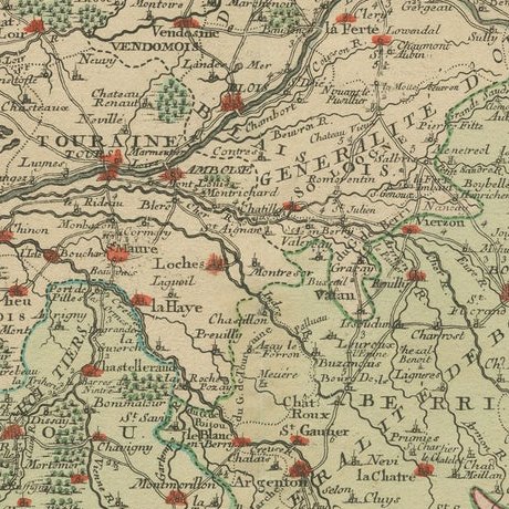
Good. Folding line as issued. Aged paper with typically warm, yellowish-brown hue. One fold in corner, not affecting the image. Study the images carefully.
About this sheet
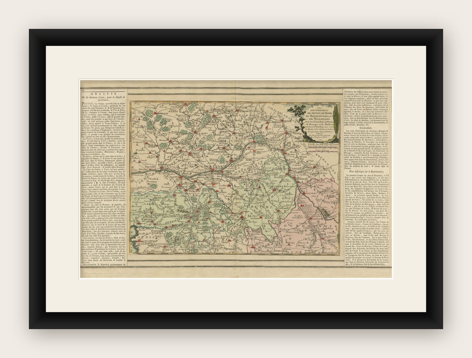
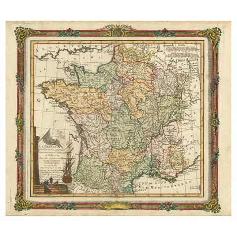
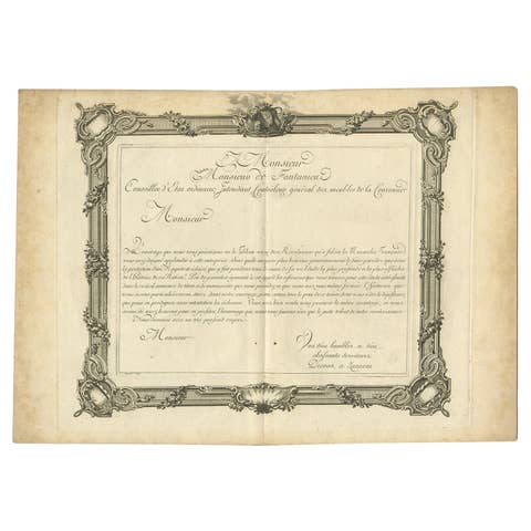
The map with text neatly mounted on both sides of the map on the plate, is a section of an old map with accompanying French text. The map mentions several historical French provinces such as Poitou, Berry, Bourbonnais, and Nivernais, which are all regions in France. The text also refers to Moulins, which is a city in the Allier department in the center of France.
The text included on the map gives a hint about its creation, as it states "Chez Desnos Ingenieur Geographe Rue St.Jacques au Globe", which indicates that the map was made by an engineer or geographer named Desnos, located on Rue St. Jacques, possibly in Paris. The mention of "au Globe" could suggest that this was the name of his studio or shop. The date provided on the map is 1768.
More research is needed as we have been unable to provide more specific details about the map or its creator and we cannot find a similar one online. However, the name Desnos is associated with Louis Charles Desnos (1725–1805), who was an important French cartographer and geographical engineer of the 18th century. He was known for his work in globe making as well as his detailed maps of France and other parts of the world.
The area that the map is about includes central French regions, with a focus on administrative divisions and possibly routes or distances, as indicated by the legend referring to "lieues", a French unit of distance used at the time.