About this sheet
Antique Map Ottoman Empire Turkey Balkans Middle East Bonne c1780
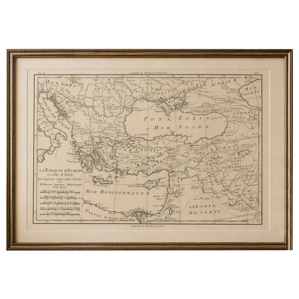
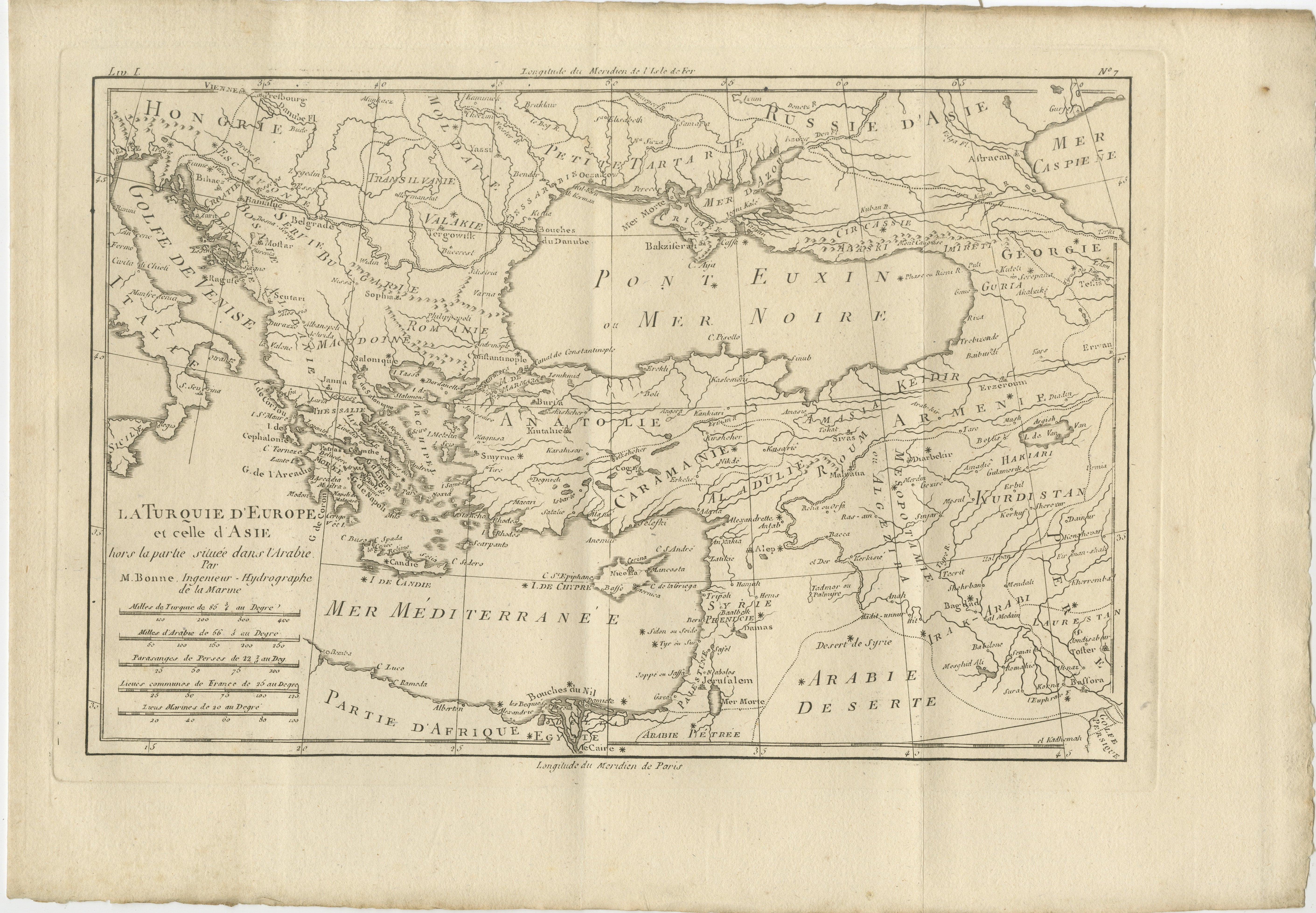
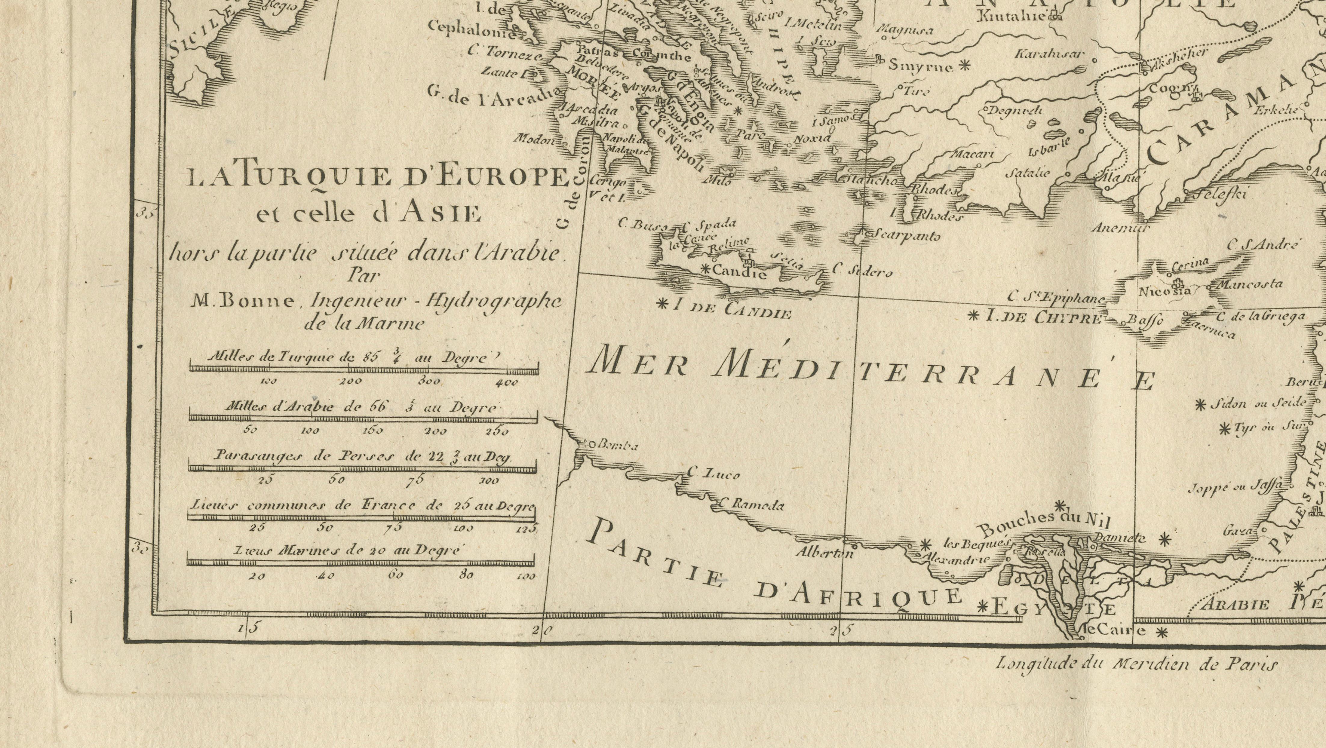
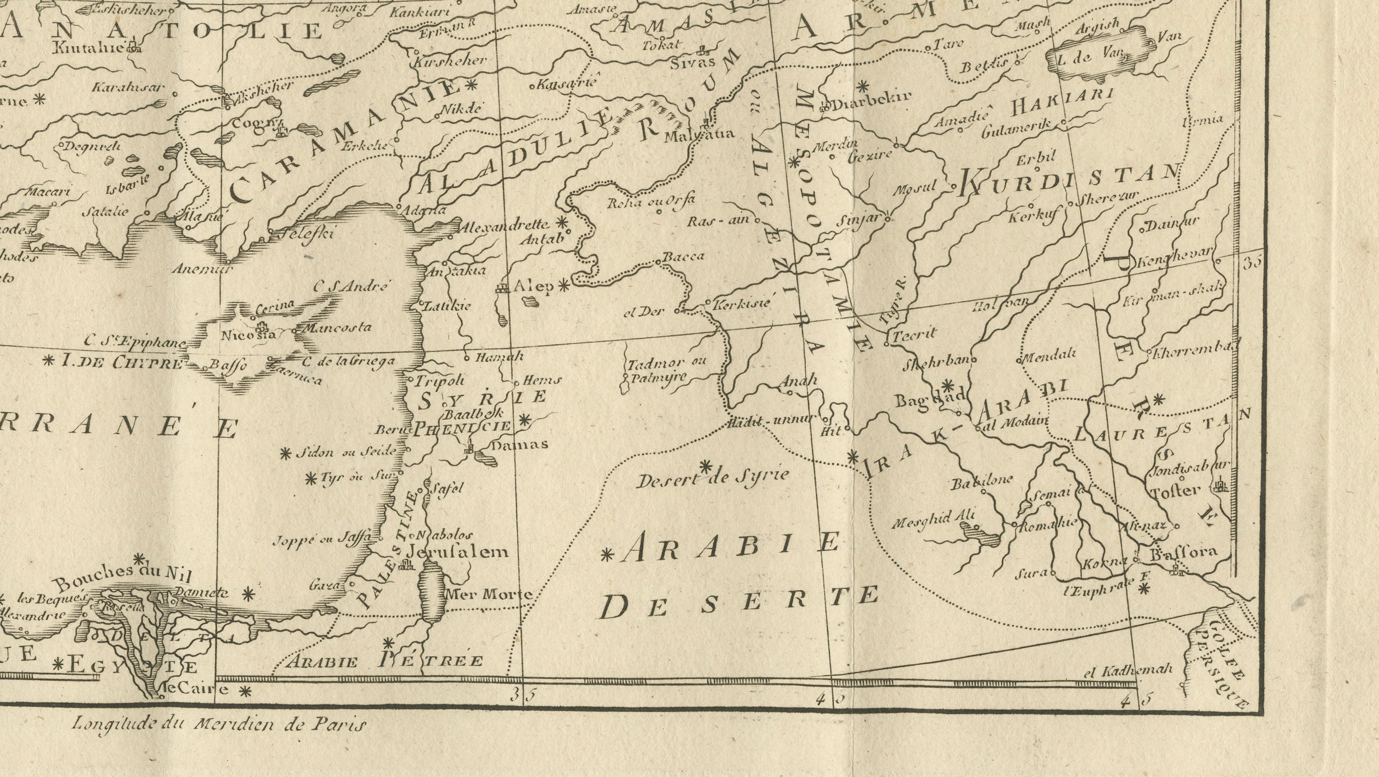
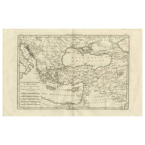
A finely engraved 18th-century map of the Ottoman Empire, titled La Turquie d’Europe et celle d’Asie, created by the French cartographer and hydrographer Rigobert Bonne and published circa 1780 in the influential *Atlas de toutes les parties connues du globe terrestre*. This elegant copper engraving presents a clear and informative depiction of one of the most significant geopolitical regions of the early modern world.
The map covers a vast area stretching from Southeast Europe into Western Asia, including present-day Greece, the Balkans, Anatolia, the Levant, and parts of the Middle East. The Black Sea (Mer Noire) and eastern Mediterranean are prominently featured, with detailed coastlines, rivers, and mountain ranges carefully rendered. Major cities such as Constantinople (Istanbul), Smyrna, Aleppo, and Cairo are clearly identified, reflecting the administrative and commercial importance of these centers within the Ottoman sphere.
Bonne’s cartographic style is known for its clarity and scientific precision, favoring clean linework and legibility over heavy ornamentation. This results in a refined and balanced composition that emphasizes geographic understanding and political structure. The map provides a compelling snapshot of the Ottoman Empire at a time when it remained a dominant force connecting Europe and Asia.
Printed on a generous sheet with visible original fold lines, as issued, this engraving combines historical significance with understated decorative appeal. Maps of the Ottoman Empire from this period are highly sought after by collectors for their geopolitical relevance and their connection to European exploration and diplomacy.
This is an original 18th-century engraving, not a reproduction. All items we offer are authentic period works of art over 100 years old. The map is sold unframed; any framed images are shown for presentation and interior inspiration only and may not always be on scale with the original.
Condition report:
Good condition, with general age-related toning. Original fold lines visible. Minor edge wear and light staining consistent with age. The engraving remains crisp and well-preserved. Please study the image carefully.
Framing tips:
This map benefits from a classic museum-style presentation. A dark wood or ebonized frame with a wide ivory mat will enhance its refined engraving style and give it strong presence on the wall. Particularly suitable for a study or library interior.
Technique: Copper engraving
Maker: Rigobert Bonne, France, circa 1780