About this sheet
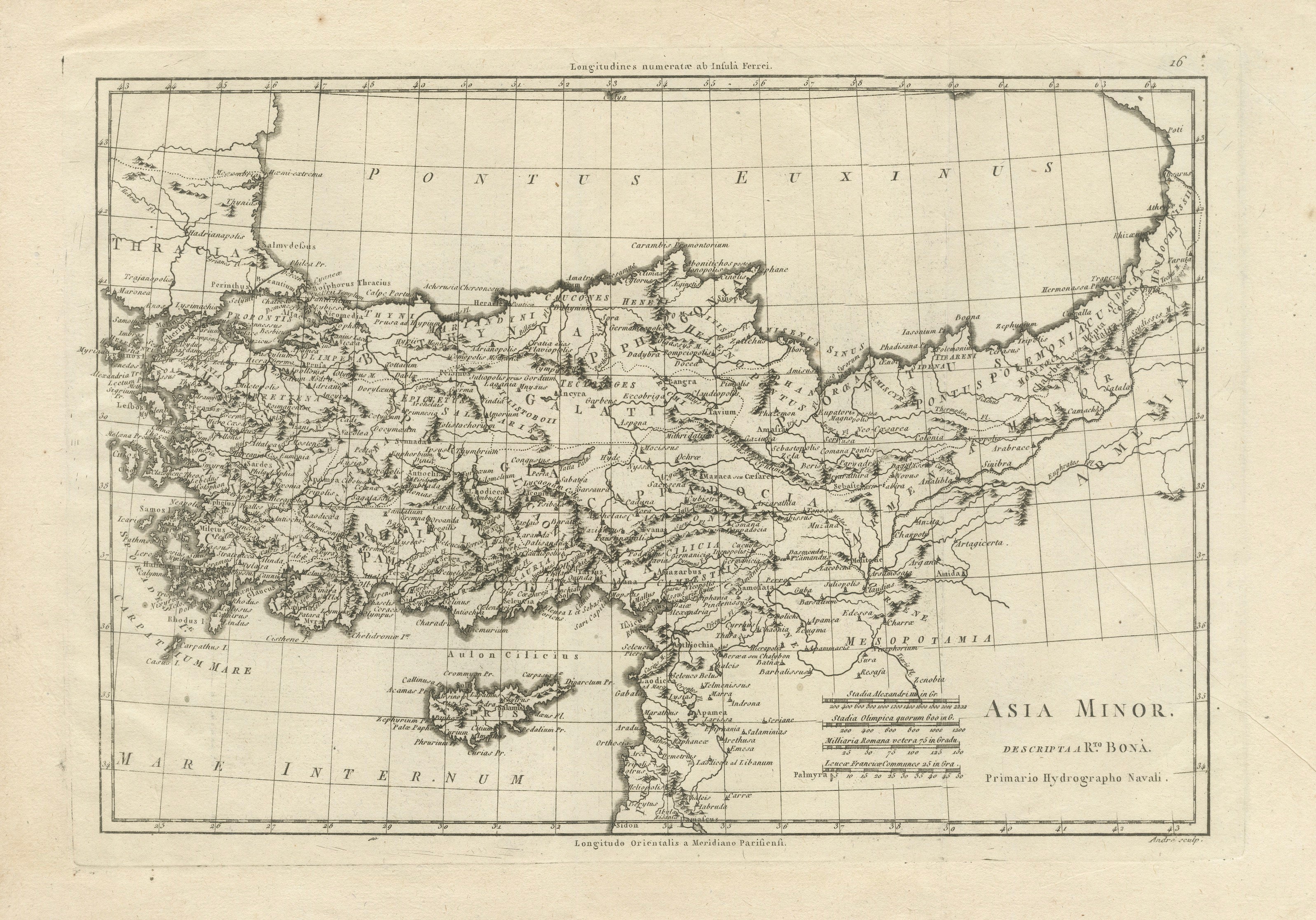
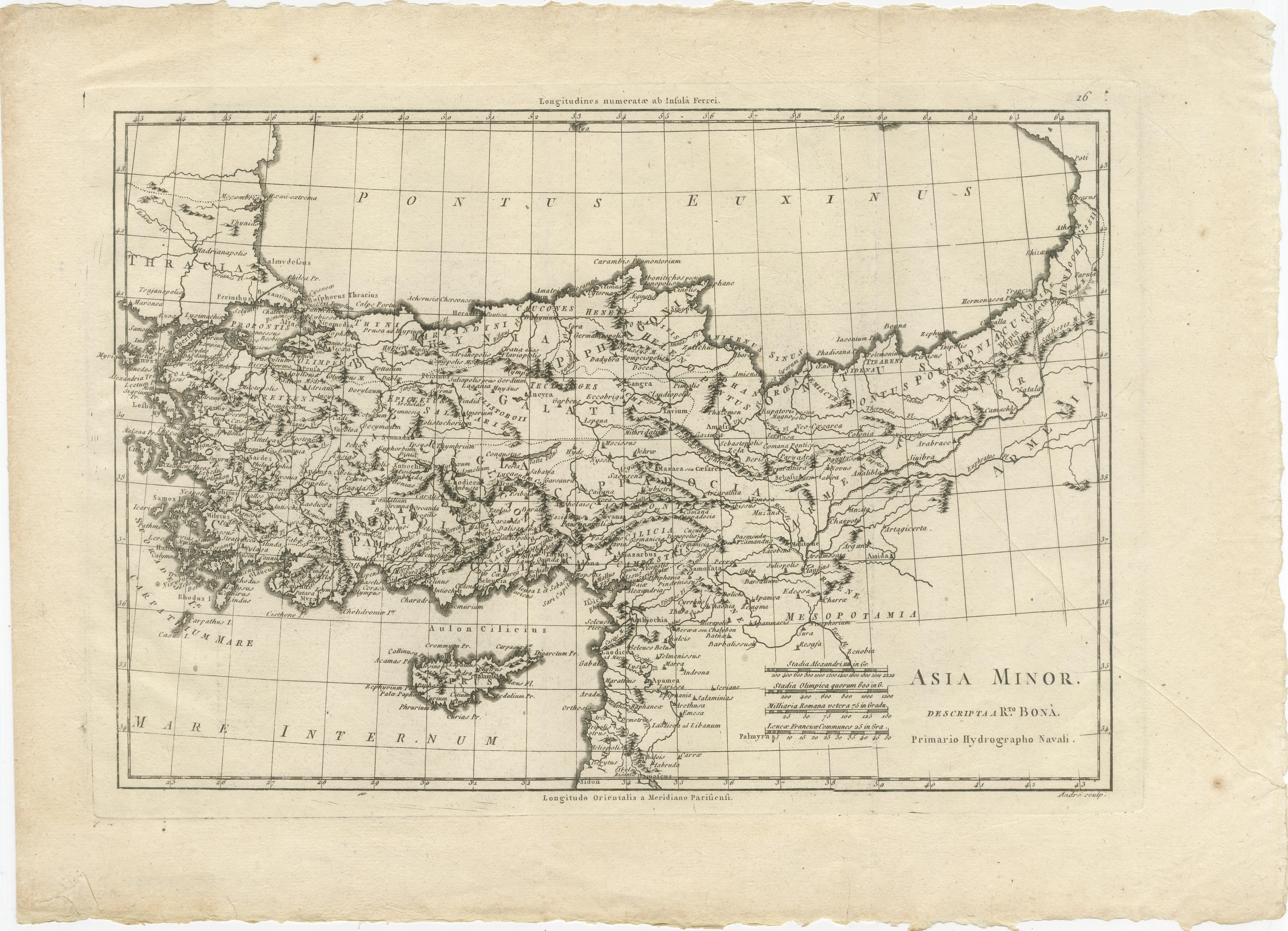
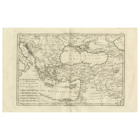
Asia Minor and the Ottoman Levant — Fine Bonne Map of Turkey, c.1780
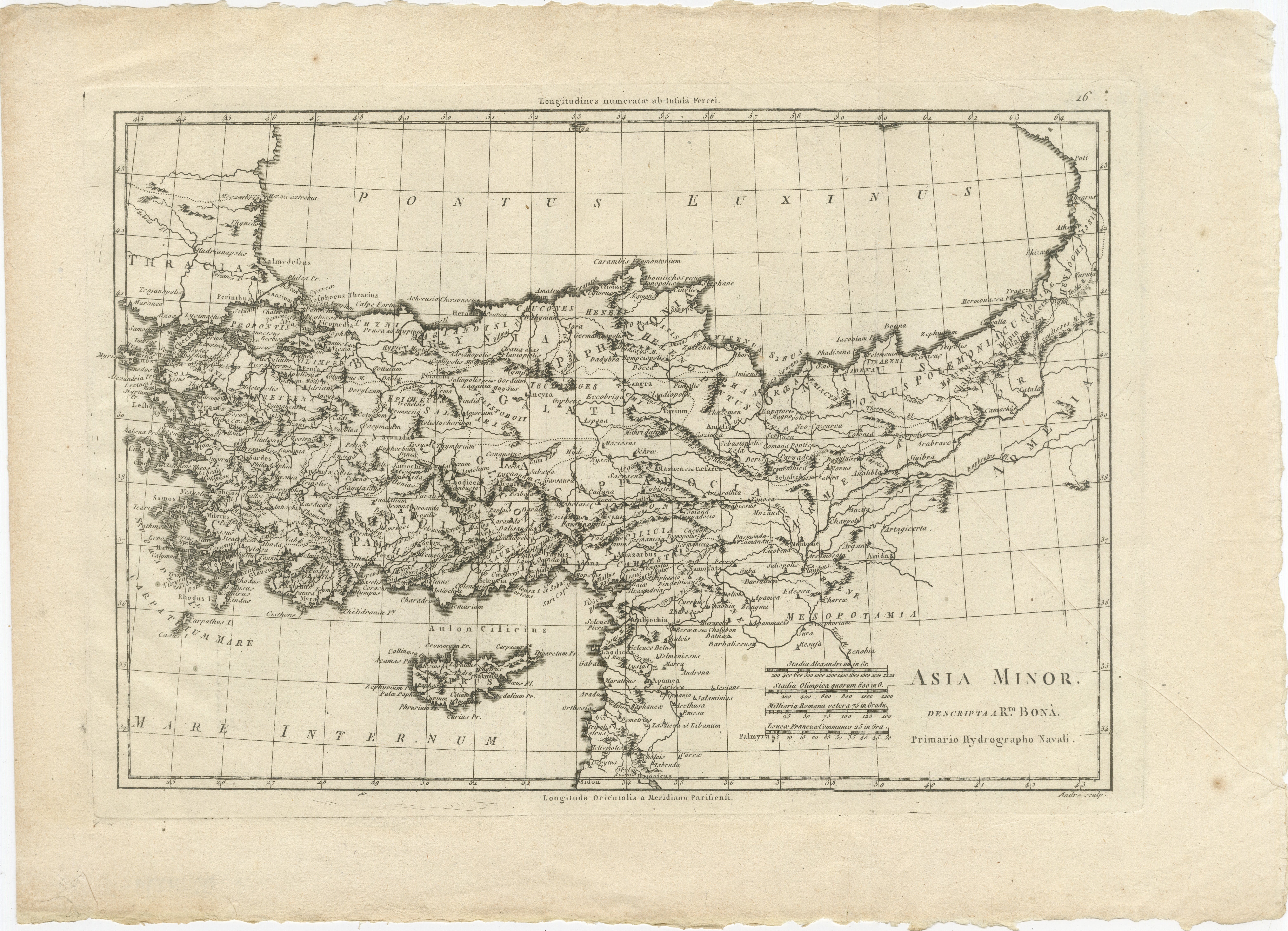
This finely engraved antique map of Asia Minor (modern-day Turkey and surrounding regions) was created by the celebrated French cartographer Rigobert Bonne, one of the leading geographers of the late 18th century. Published circa 1780, this map reflects the transition toward more scientific and precise cartography that defined the Enlightenment era, combining clarity of geographic information with restrained elegance.
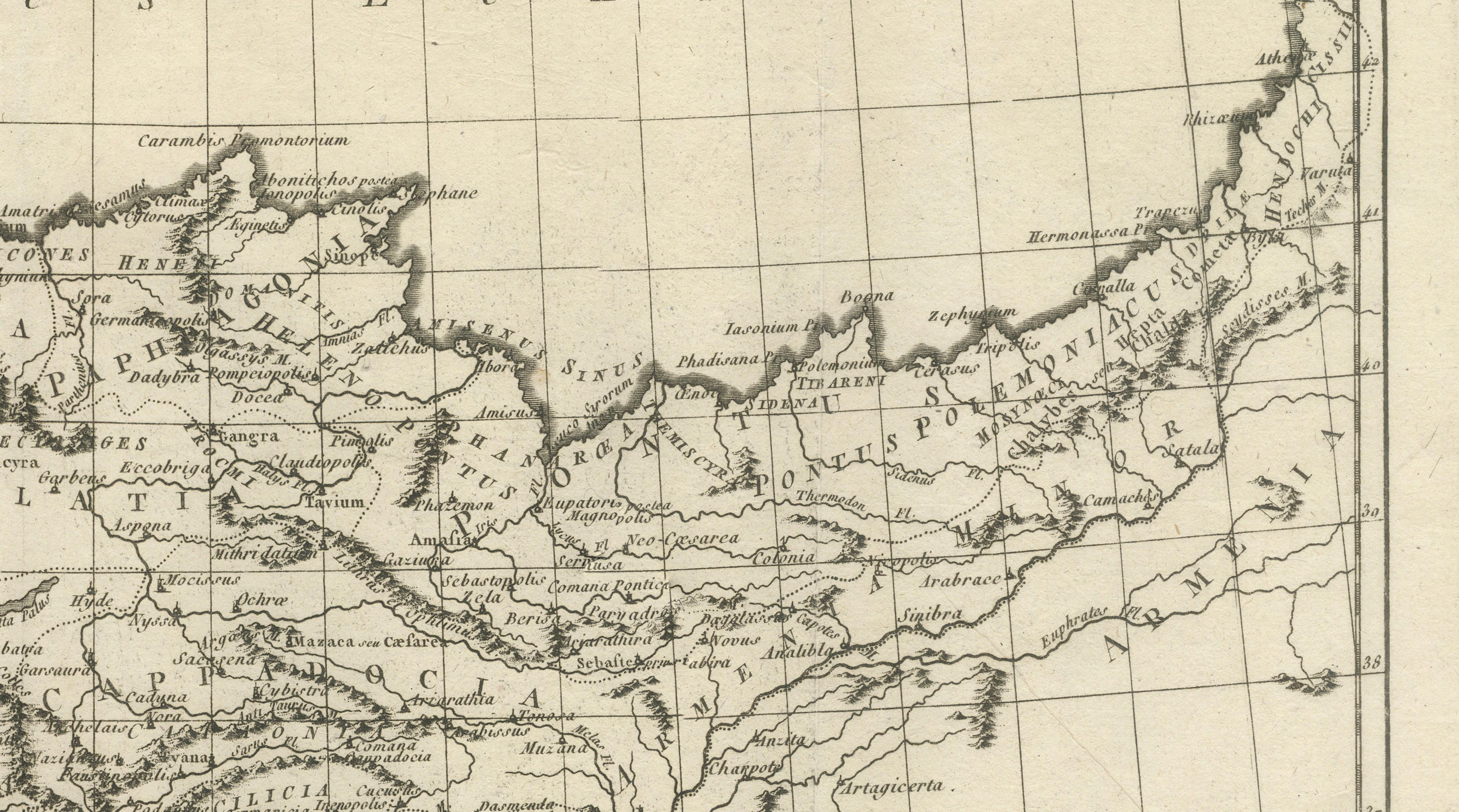
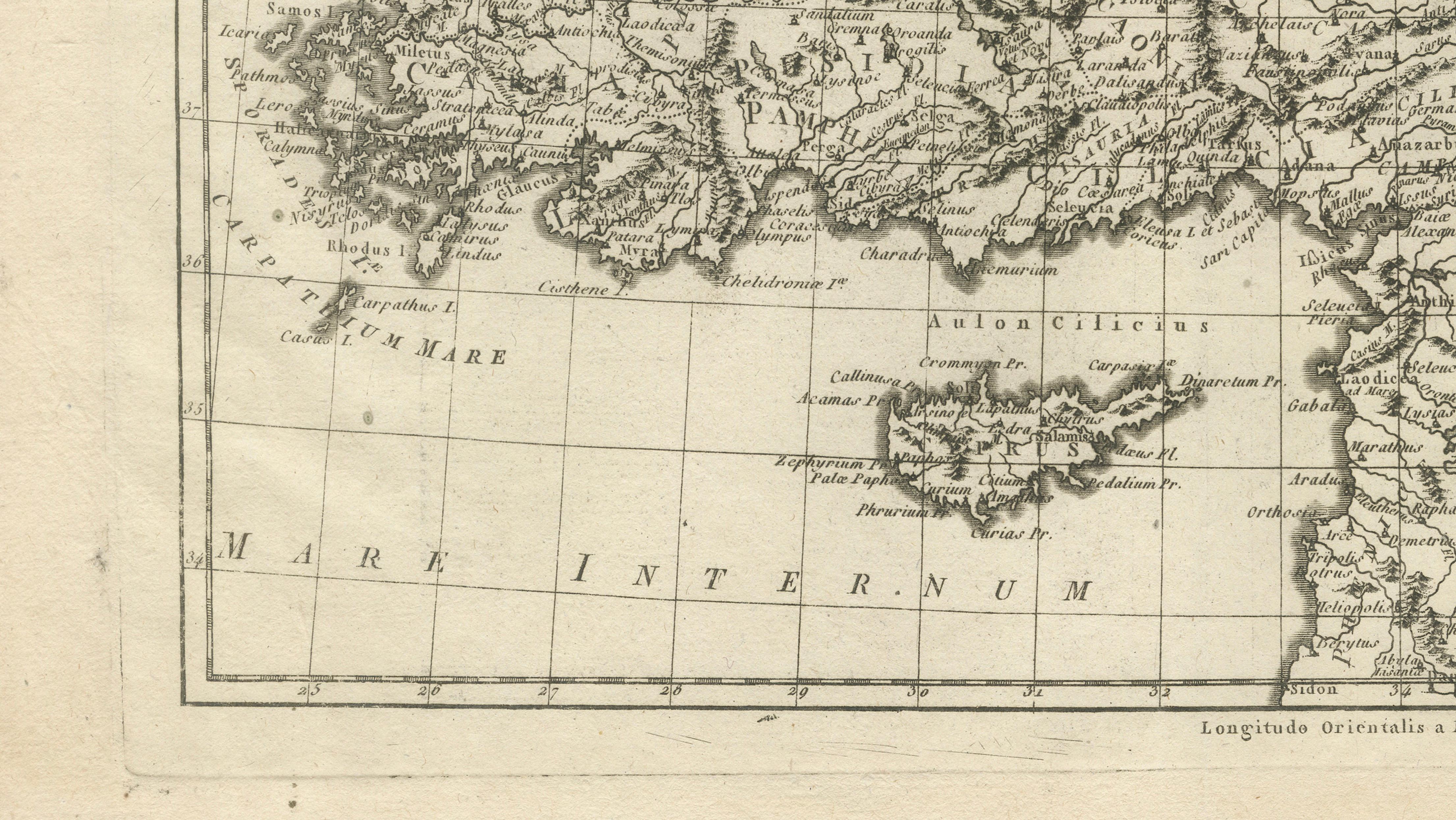
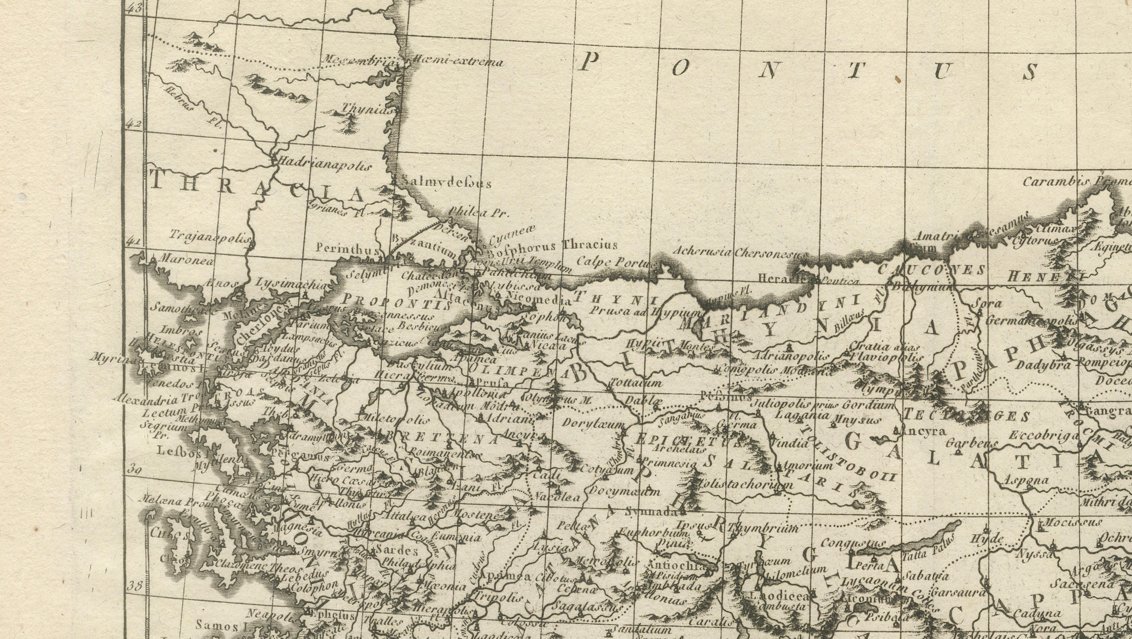
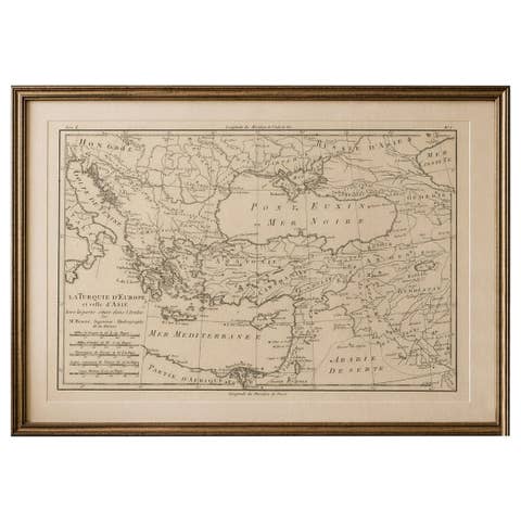
The map presents a detailed view of Anatolia, extending from the Aegean and Greek archipelago in the west to Armenia and Mesopotamia in the east. The Black Sea (Pontus Euxinus) dominates the upper portion, while the Mediterranean coastlines of Asia Minor are rendered with precision. Major regions, rivers, and ancient provinces are carefully labeled, reflecting both classical geography and contemporary understanding of the Ottoman territories at the time.
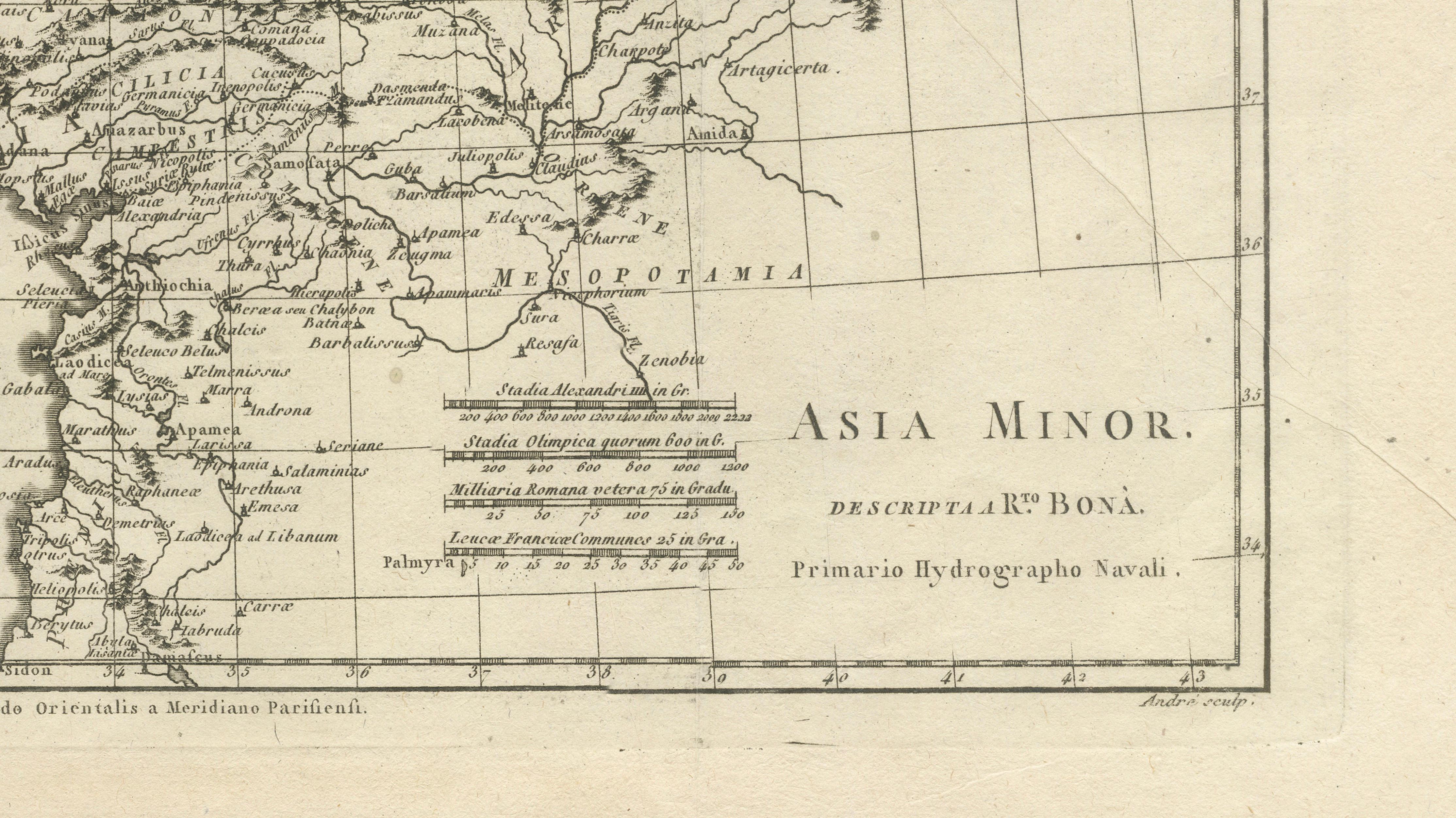
Bonne, who served as Hydrographer to the French Navy, was known for his mathematically grounded approach to cartography. His maps, often engraved by skilled artisans such as André, are characterized by clean linework, balanced composition, and an emphasis on legibility over decoration. This example is no exception, featuring a neat grid system, elegant serif lettering, and finely engraved topographical detail.
Particularly appealing is the historical layering of names—classical and early modern—making this map attractive not only to collectors of antique maps but also to those interested in classical history, biblical geography, and the Ottoman Empire. The inclusion of regions such as Cappadocia, Cilicia, and Mesopotamia adds depth and scholarly interest.
This is an original antique engraving, not a reproduction. All items we offer are authentic period works of art over 100 years old. The map is sold unframed; any framed images are shown for presentation and interior inspiration only and may not always be to scale.
Condition: Good overall condition for its age, with age-related toning and light staining to the margins. Some minor creasing and edge wear visible, consistent with handling and age. The engraved area remains clear and well-preserved.
Framing tips: This map works beautifully in a dark walnut or ebonized frame with a wide ivory or warm off-white mat to emphasize the fine engraving and aged paper tone. For a more contemporary interior, a slim black or bronze frame with a clean museum mount creates an elegant contrast.
Keywords: Asia Minor, Turkey map, Ottoman Empire, Anatolia, Black Sea, Pontus Euxinus, Mesopotamia, Cappadocia, Levant, antique map, Rigobert Bonne, 18th century cartography, classical geography, Middle East map, Aegean Sea, Armenia, historical map, French cartography, engraved map
Technique: Copperplate engraving
Maker: Rigobert Bonne, France, circa 1780