Antique Maps of Eastern Europe
102 original sheets
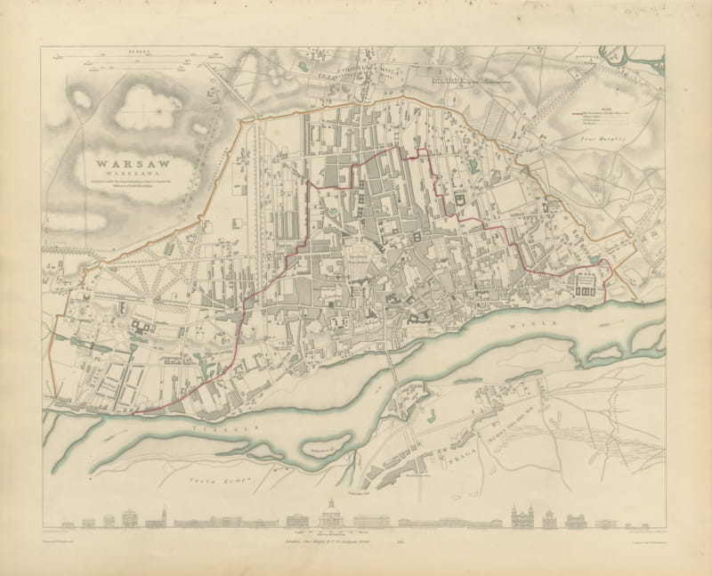
Antique Plan of Warsaw with the Vistula and Praga, 1847
1847 · € 840
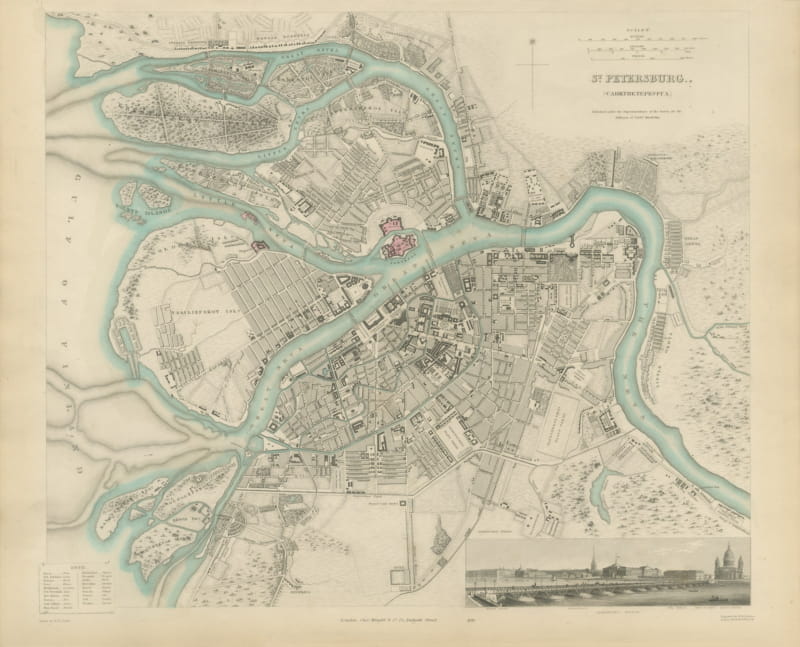
Antique Plan of Saint Petersburg with the Neva and Admiralty, 1847
1847 · € 1 250
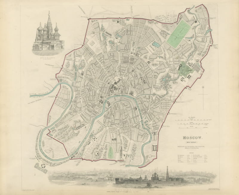
Antique Plan of Moscow with Kremlin and Sparrow Hills View, 1847
1847 · € 1 120
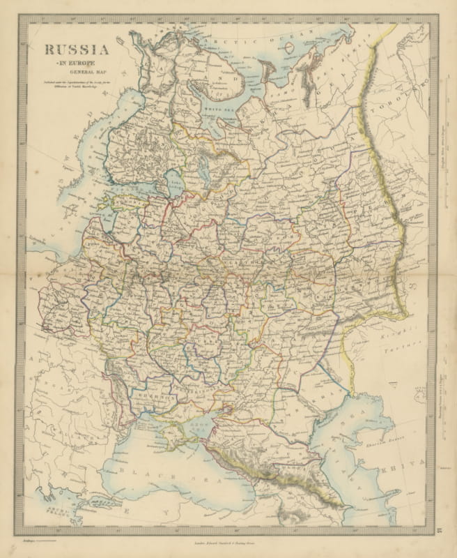
Antique Map of Russia in Europe with the 1856 Treaty of Paris Boundary, 1858
1858 · € 240
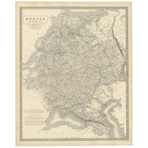
Antique Map of Russia 'in Europe' by W. & A.K. Johnston, circa 1850
1850 · € 240
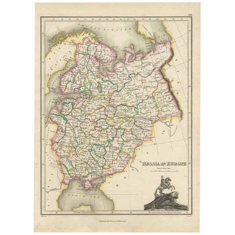
Antique Map of Russia in Europe by J. Thomson, Engraved Detail, 1819
1819 · € 266

Antique Map of Russia in Europe by T. Kitchin, circa 1770
1770 · € 160
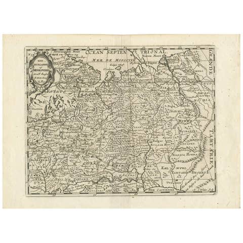
Antique Map of Russia by N. Sanson, 1705
1705 · € 320
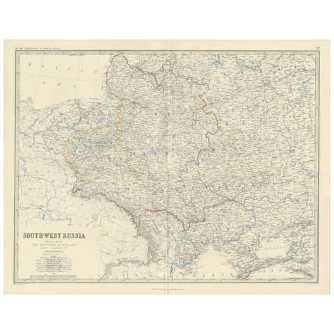
Antique Map of South-West Russia by A.K. Johnston, 1865
1865 · € 250
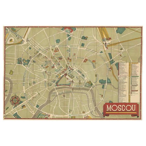
Vintage Folding Map of the Streets of Moscow, Russia, circa 1950
1950 · € 494
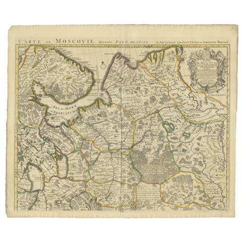
Antique Map of Western Russia by Covens & Mortier, 1740
1740 · € 950
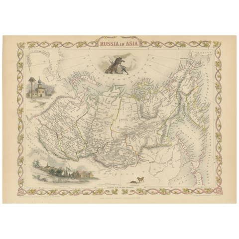
Antique Map of Russia in Asia by Tallis, '1851'
1851 · € 275
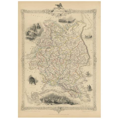
Antique Map of Russia in Europe by John Tallis, Paper Print, 1851
1851 · € 270

Antique Map of Russia in Europe by Levasseur, '1875'
1875 · € 350
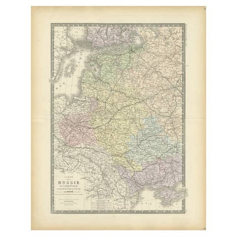
Antique Map of Western Russia by Levasseur, '1875'
1875 · € 350
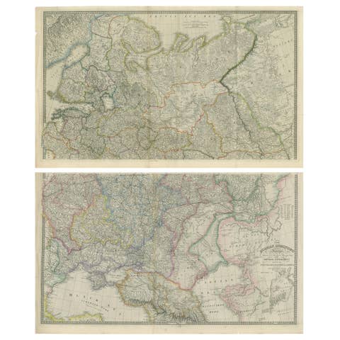
Set of 2 Antique Maps of Russia by Wyld, 1883
1883 · € 1 250
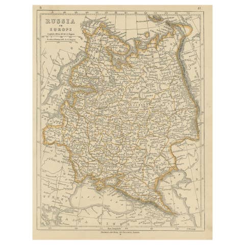
Antique Map of Russia in Europe by Lowry, 1852
1852 · € 100

Antique Map of the Kingdom of Poland by Keizer & de Lat, 1788
1788 · € 350
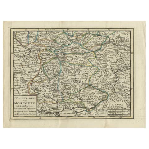
Antique Map of Southern Muscovy by Keizer & de Lat, 1788
1788 · € 350

Antique Map of Northern Muscovy by Keizer & de Lat, 1788
1788 · € 350
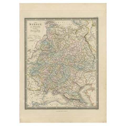
Antique Map of Russia in Europe and Poland by Wyld '1845'
1845 · € 200

Antique Map of Russia in Asia by Wyld, '1845'
1845 · € 200
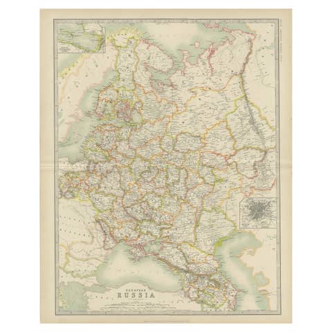
Antique Map of Russia in Europe by Johnston (1909)
1909 · € 250

Antique Map of South-West Russia by Johnston (1909)
1909 · € 250
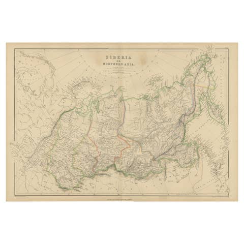
Antique Map of Siberia, Russia, 1859
1859 · € 250
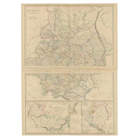
Set of 2 Antique Maps of Russia in Europe by W. G. Blackie, 1859
1859 · € 400
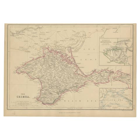
Antique Map of the Crimean Peninsula and Sevastopol by W. G. Blackie, 1859
1859 · € 175
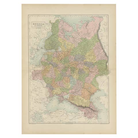
Antique Map of Russia in Europe by A & C, Black, 1870
1870 · € 275
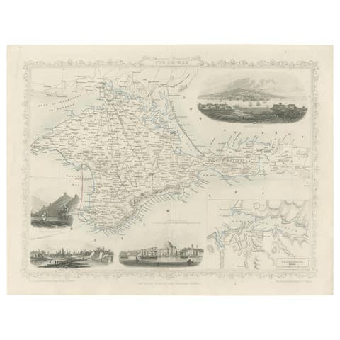
A Decorative Detailed Map of the Crimea, with an Inset Map of Sebastopol, c 1851
1851 · € 550
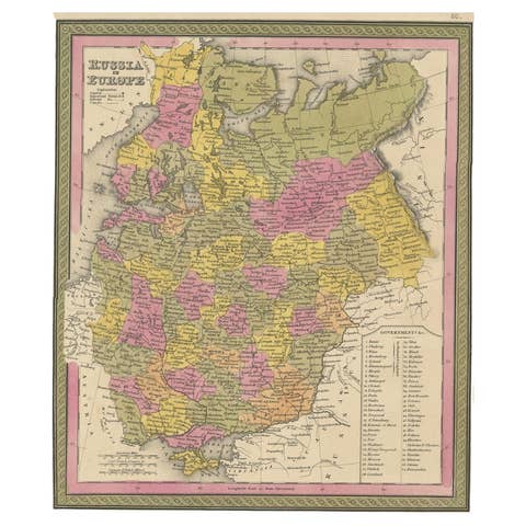
Antique Map of Old European Russia, 1846
1846 · € 280
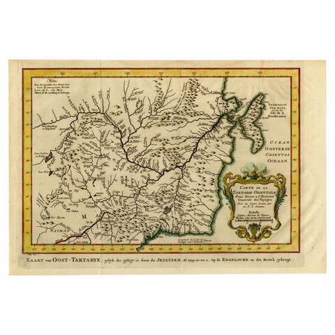
Antique Map of Eastern Tartary, now the Primorsky Krai Area, Russia, 1758
1758 · € 650
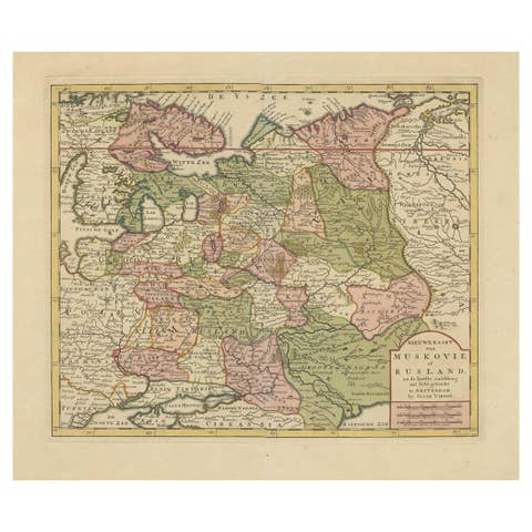
Antique Map of European Russia by Tirion, c.1725
1725 · € 950
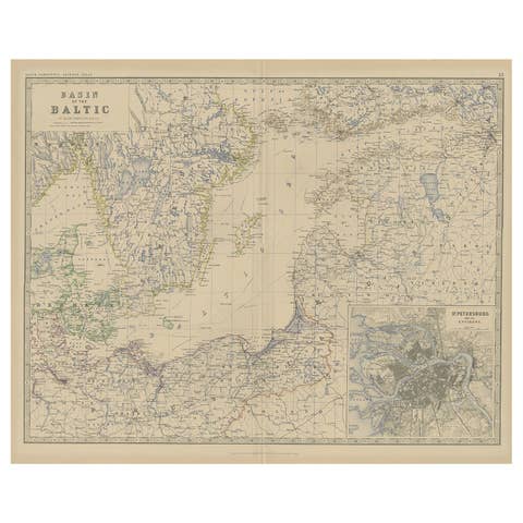
Old Map of the the Baltic Sea Region, Inset of St. Petersburg, 1882
1882 · € 350
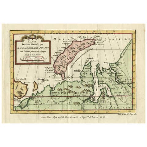
Decorative Original Old Map of Nova Zembla and the Russian Mainland, ca.1760
1760 · € 450
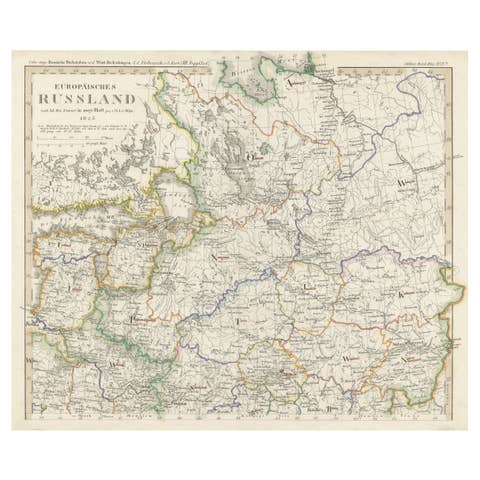
Antique Map of Russia in Europe on Two Sheets from an Old German Atlas, Ca.1825
1825 · € 450
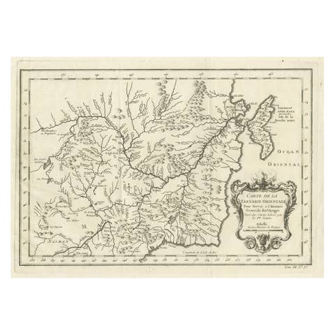
Antique Map of Northern China and Far Eastern Russia Around the Amur River, 1754
1754 · € 500
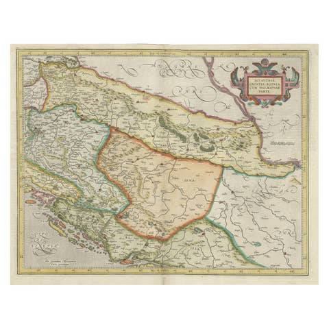
Old Eastern Balkans Map, with Dalmatia, Croatia, Slavonia, Bosnia, Serbia, 1633
1633 · € 950
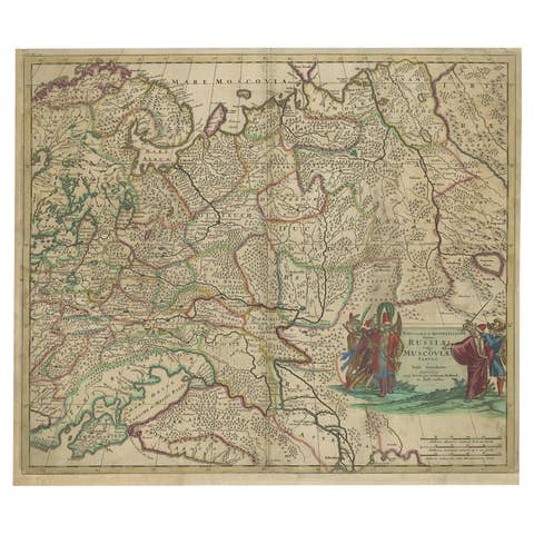
Antique Hand-Colored Map of Western Russia and Ukraine, c.1680
1680 · € 670
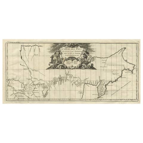
Antique Map with Details of Berings' Expedition into Russians' Far East, 1737
1737 · € 1 450
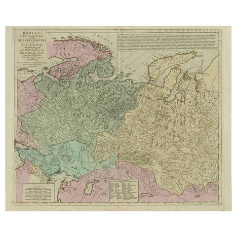
Antique Map of the Russian Empire in Europe, ca.1780
1780 · € 850
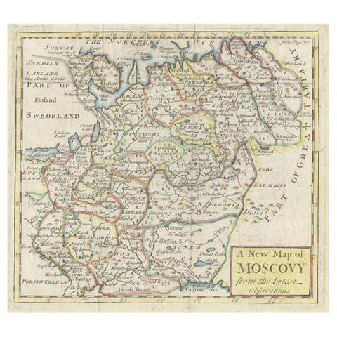
Antique Map of West Russia, with Title a New Map of Moskovy, 1741
1741 · € 265

Antique Map of Russia in Europe and Poland from an d Old Dutch Atlas, 1852
1852 · € 120
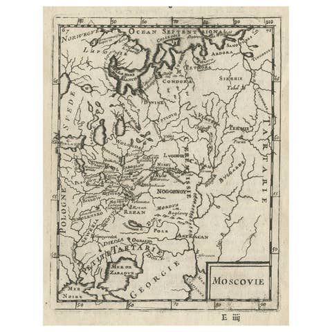
Antique Map of Modern Day Ukraine and Russia Titled Moscovie 'Moscow', Ca.1683
1683 · € 460
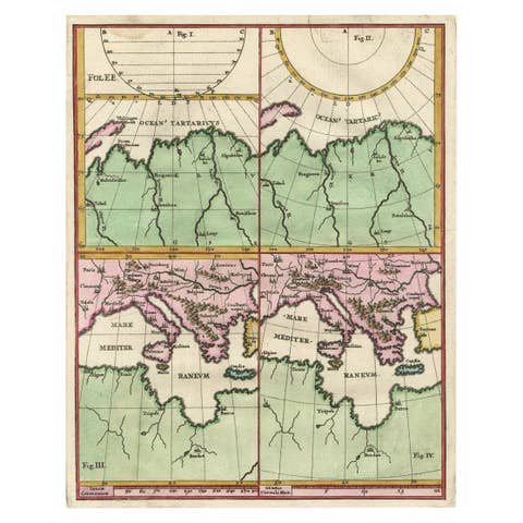
Curious Map of the Laptev Sea 'Arctic Ocean' and the Mediterranean, ca.1700
1700 · € 470
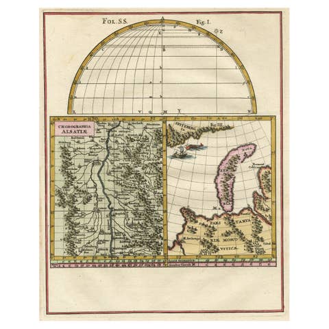
Remarkable Map of the Alsace Region and Nova Zembla, Russia, ca.1700
1700 · € 490

Charming Decorative Miniature Map of Russia, from an Old Pocket Atlas, 1685
1685 · € 380
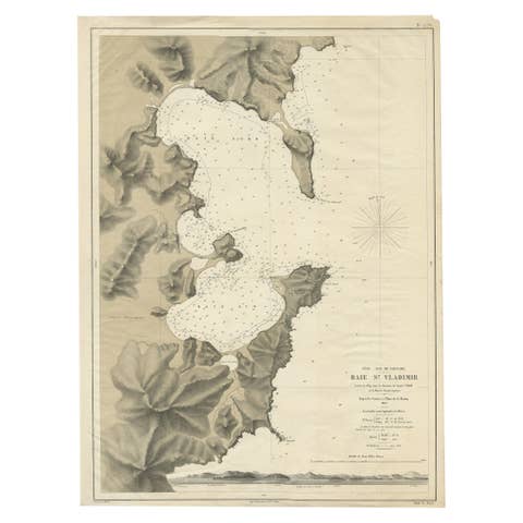
Rare Map of the Bay of St. Vladimir 'Russia' Showing the Route of J. Ward, 1869
1869 · € 730
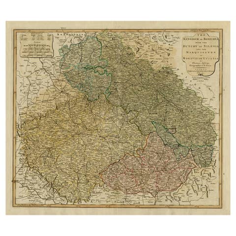
Original Map of the Kingdom of Bohemia, with Silesia, Moravia and Lusatia, 1804
1804 · € 1 280