
Maps & PrintsBartele Gallery · Langweer
Home / Antique Maps / Europe / Western Europe / France

France · 18th century

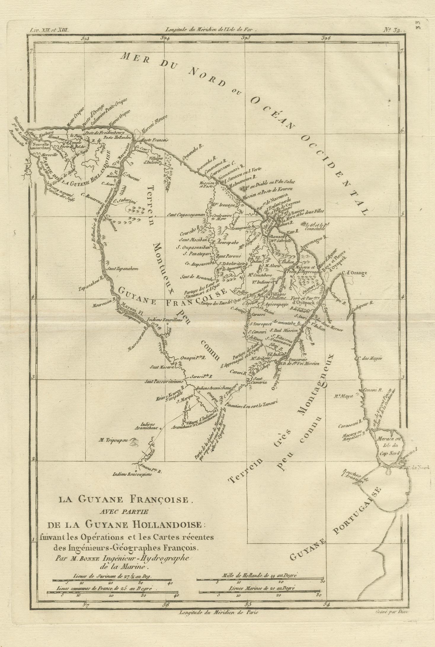
French Guiana & Suriname – Rigobert Bonne’s Colonial Map of the Guianas, c.1780

€ 330

Original antique · The actual sheet photographed · Certificate of authenticity on request · Sold unframed · Worldwide shipping from € 15 (rates)

Date
1780
Sheet size
41 × 26 cm (16.1 × 10.2 in)
Condition
Good
Reference
BG-14105-33
What the condition grades mean
Excellent
Bright and clean, with no faults worth mentioning.
Very good
Only light signs of age, such as faint toning.
Good
Normal signs of age for a sheet of this period: toning, some foxing, small marks or neat old repairs.
Fair
Clear faults such as staining, tears or repairs, priced to match.

Every fault we see is written in the condition note, and the whole sheet is shown uncropped in the photos.

Condition

Good condition. Light age toning throughout with small scattered spots and minor handling marks consistent with age. Central fold visible as issued. Plate mark present.
About this sheet

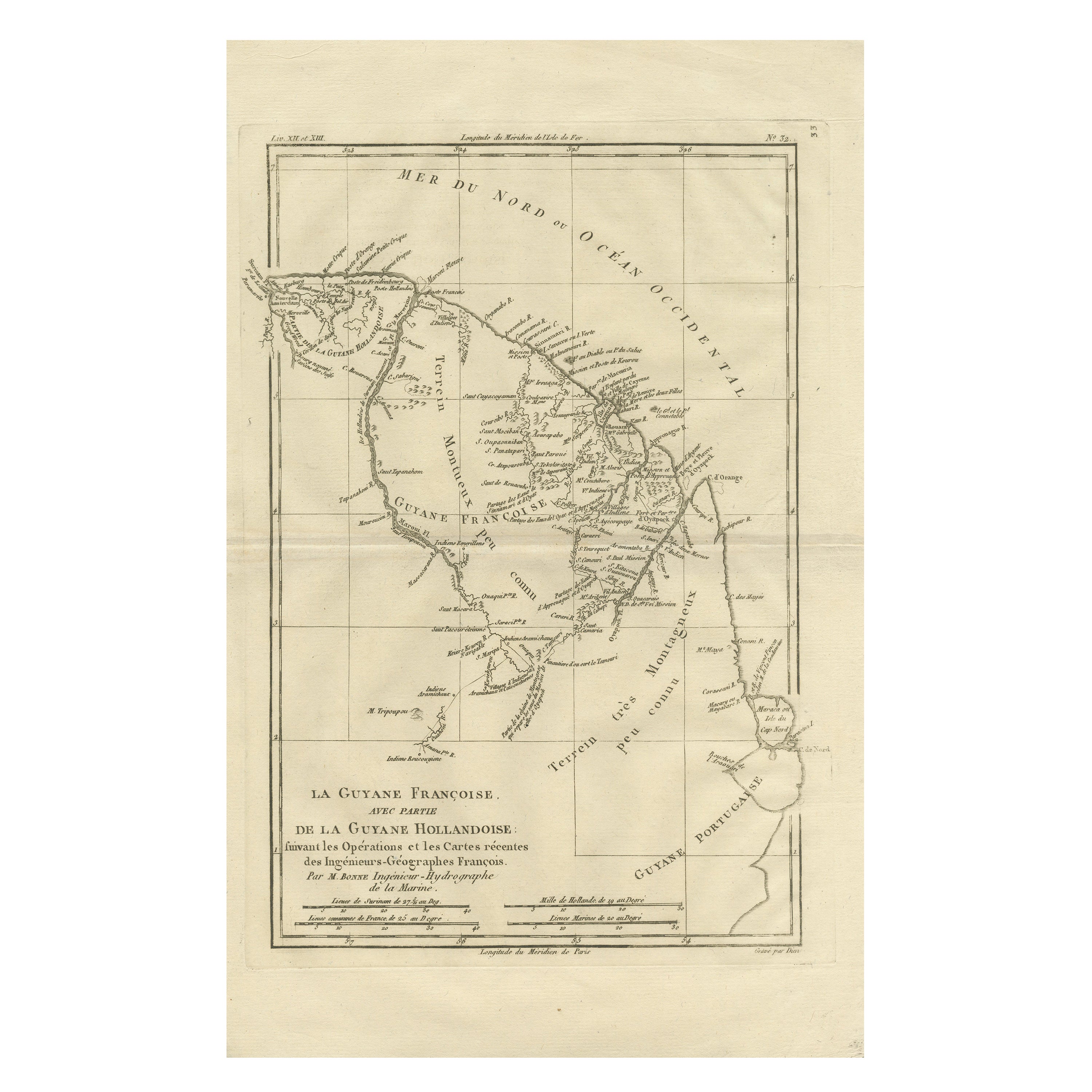
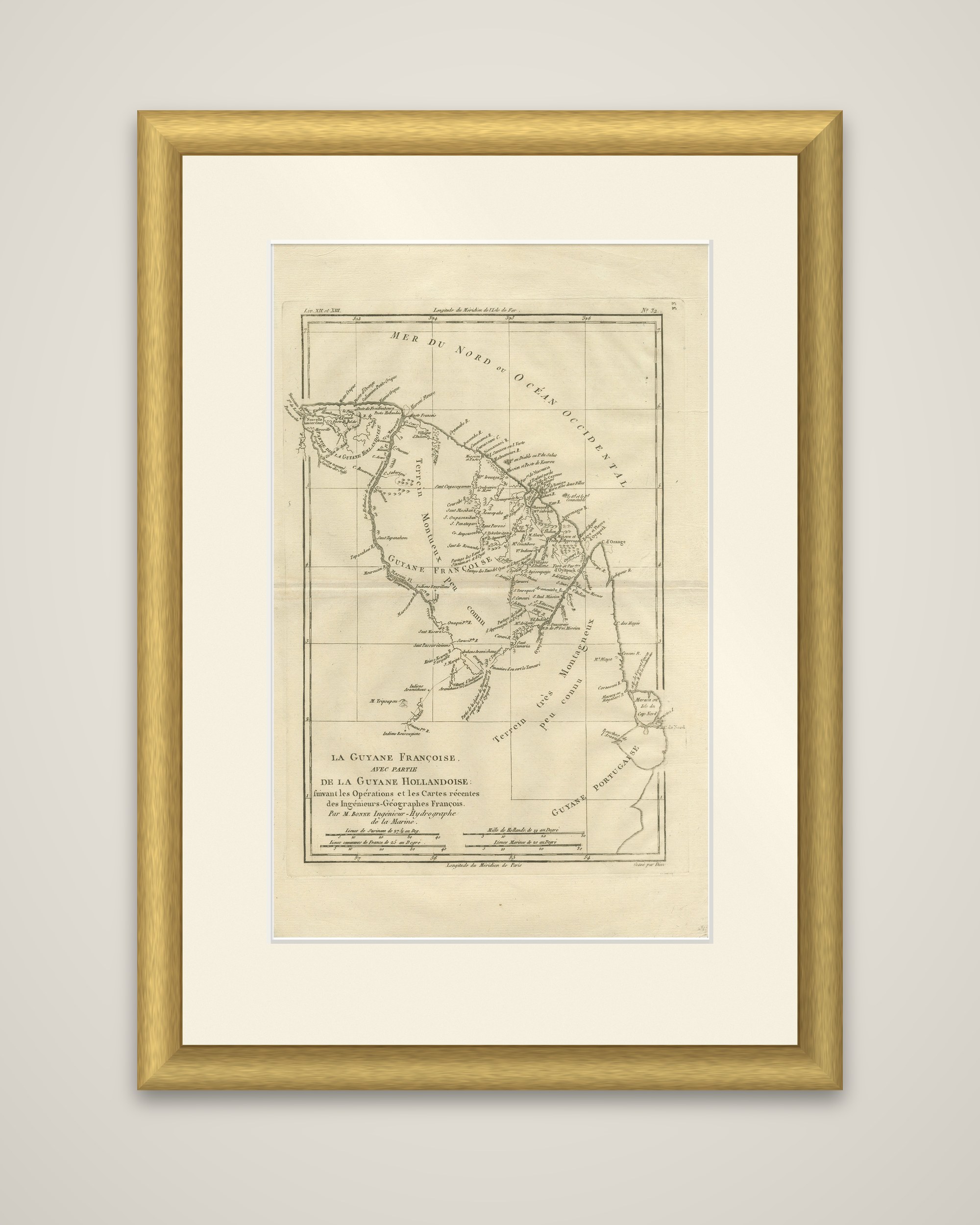
French Guiana and the neighboring Dutch colony, an original copper engraving by Rigobert Bonne, circa 1780, titled "La Guyane Françoise, avec partie de la Guyane Hollandoise, suivant les Opérations et les Cartes récentes des Ingénieurs-Géographes François." The cartouche credits M. Bonne, Ingénieur-Hydrographe de la Marine, and the sheet is printed in black without color, with a numbered plate mark in the upper right corner.

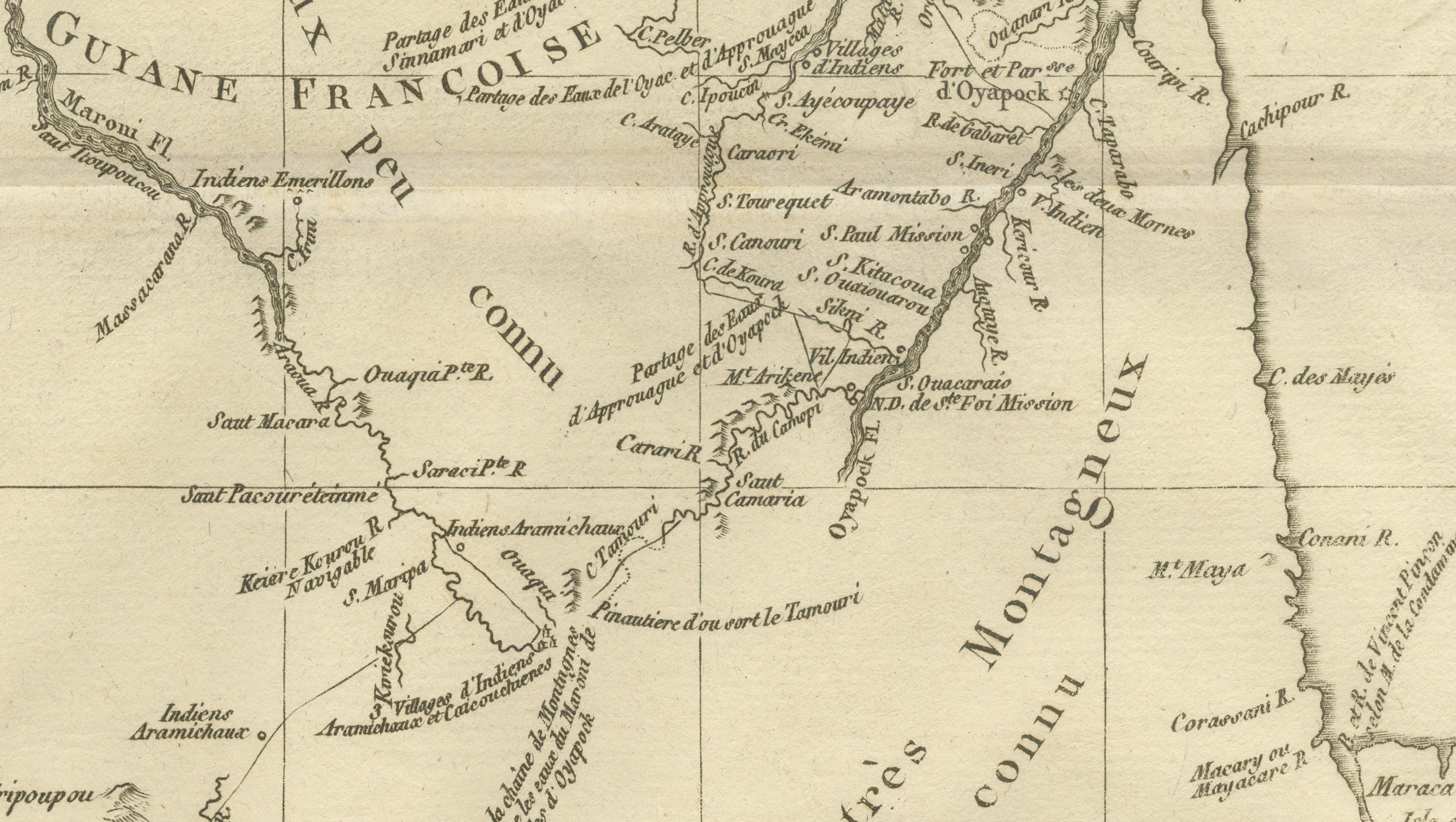
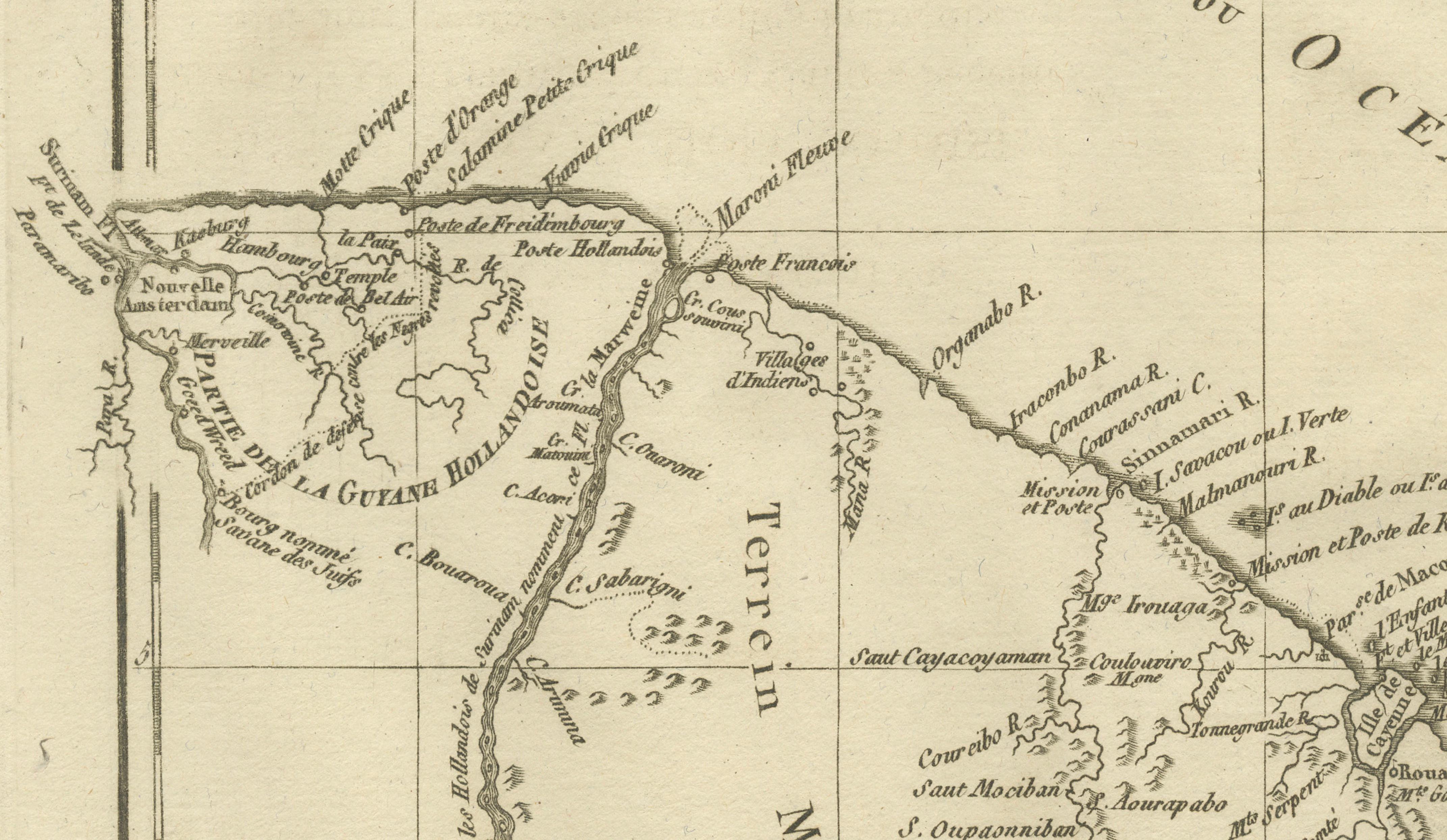
The map shows the Atlantic coast of the Guianas as a long indented shoreline, labeled "Mer du Nord ou Océan Occidental," with rivers running inland from many small coastal settlements and forts. The island of Cayenne appears at the lower right near the boundary with "Guyane Portugaise," and the western edge reaches into Dutch Guiana. The interior is left largely blank and marked "Terrein montagneux peu connu" (mountainous land little known), a frank admission of how little of the hinterland French geographers had surveyed. Scale bars for French leagues and marine leagues appear below the title, with a latitude and longitude grid on the border.

Bonne succeeded Jacques-Nicolas Bellin as hydrographer at the Dépôt de la Marine in Paris, and this sheet draws on the recent operations of French engineer-geographers, as its title states.

More from France

Ask about this sheet

French Guiana & Suriname – Rigobert Bonne’s Colonial Map of the Guianas, c.1780
1780 · Ref. BG-14105-33 · € 330
We reply by email, usually within one working day.

Your favorites

Saved in this browser. Email the list to yourself to keep it on any device.

We use your email to send this list and, only if you tick the box and confirm, for occasional new arrivals. Every email has an unsubscribe link. Bartele Gallery, the Netherlands.