About this sheet
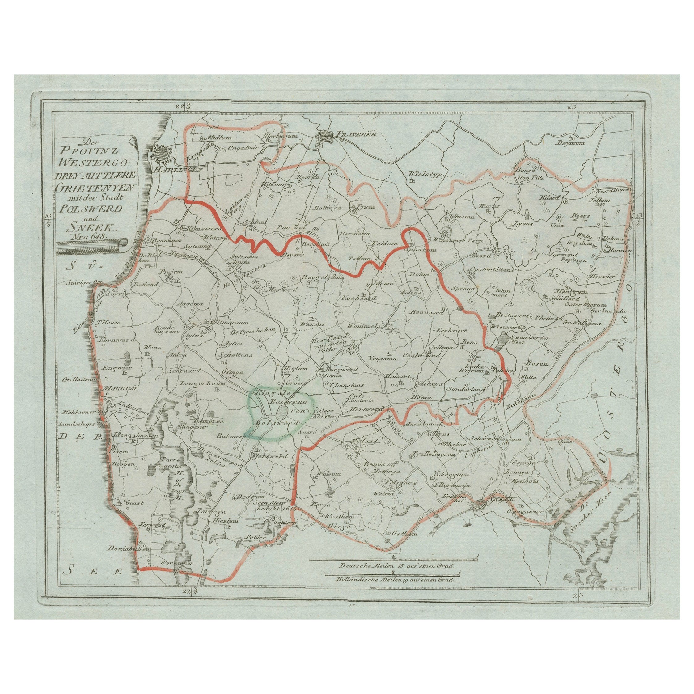
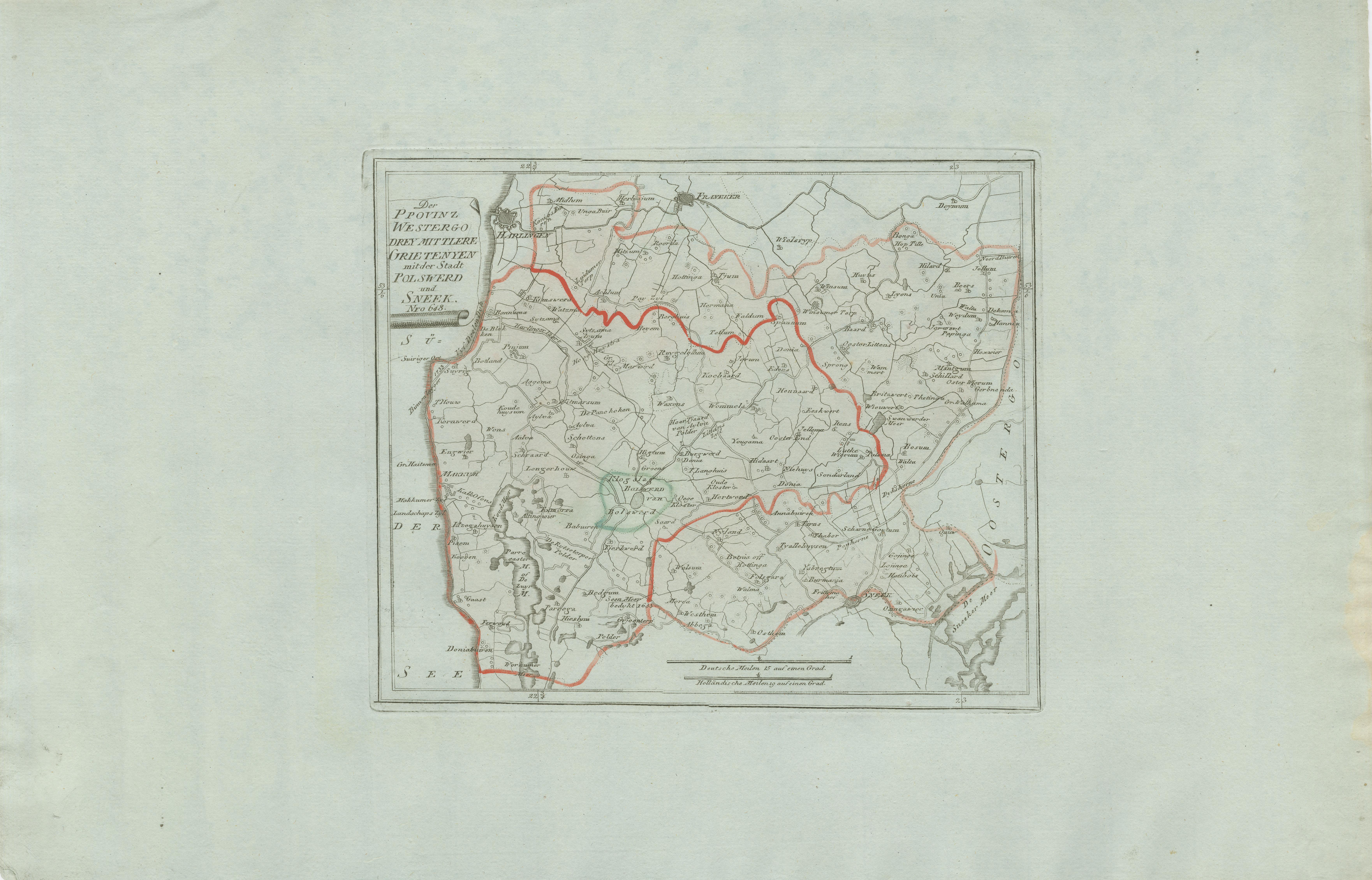
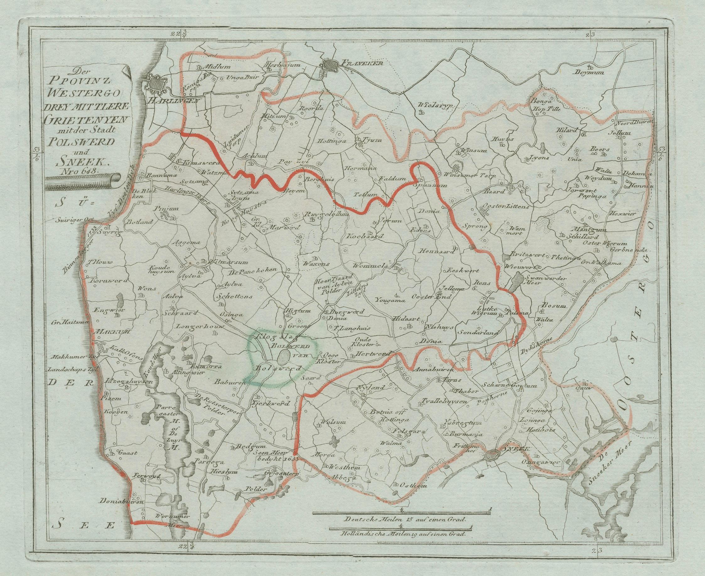
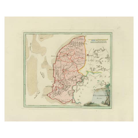
Antique Map of Sneek and Surroundings, Friesland by von Reilly, 1791
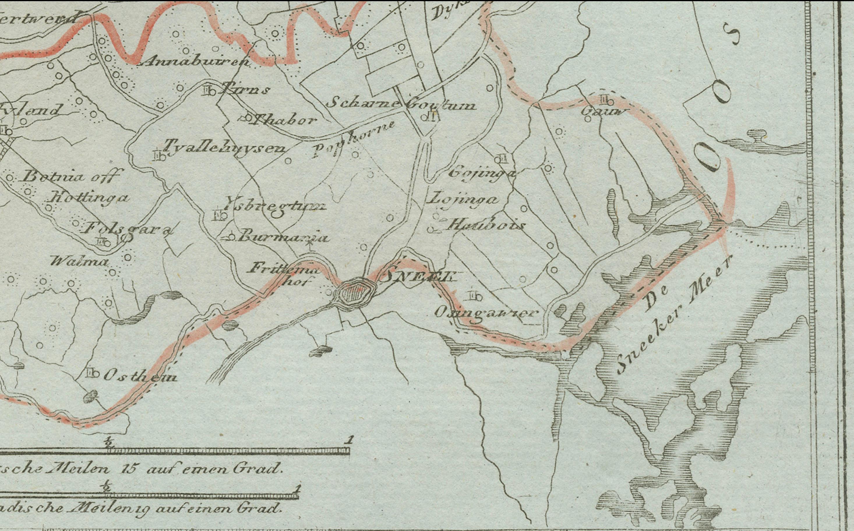
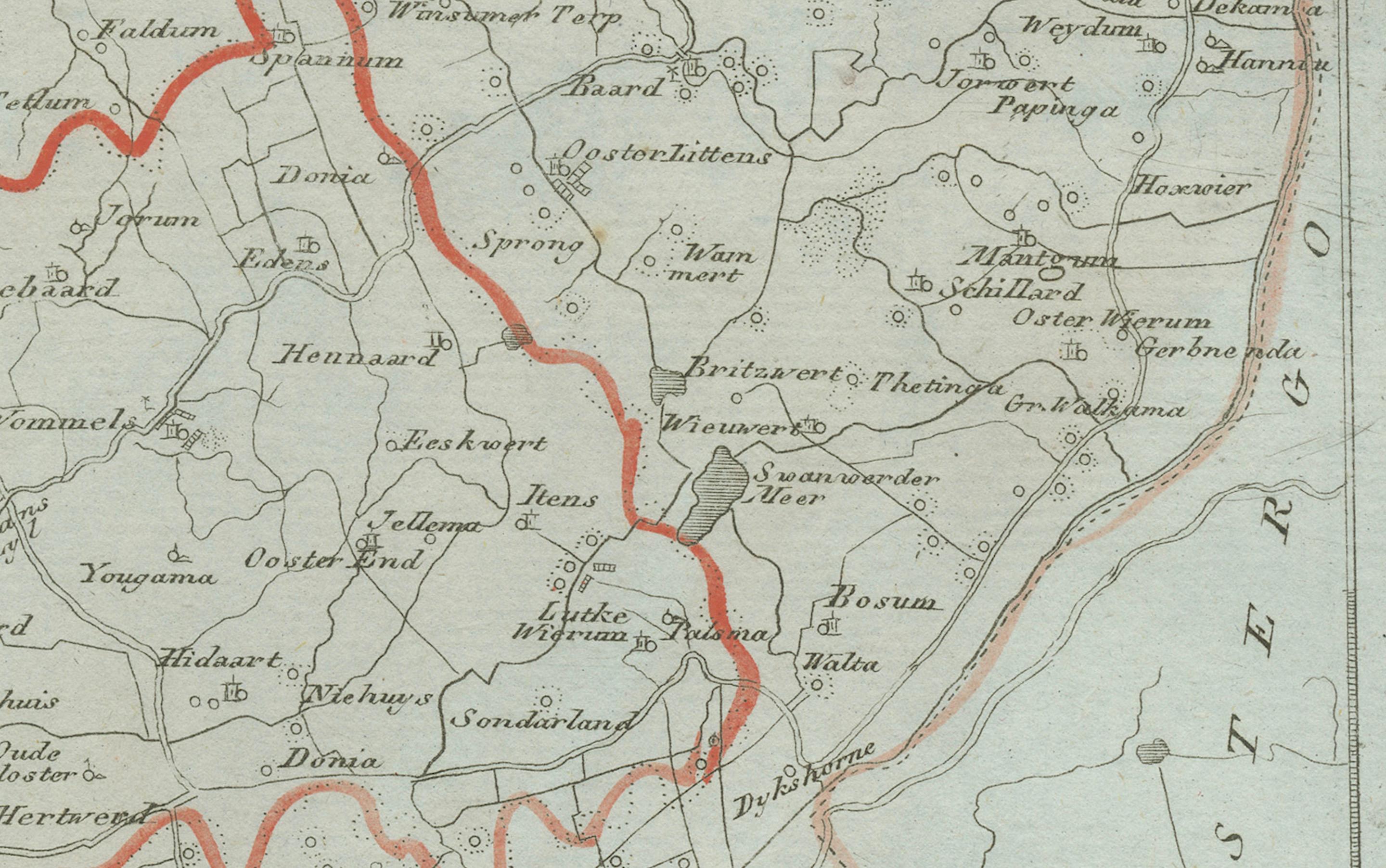
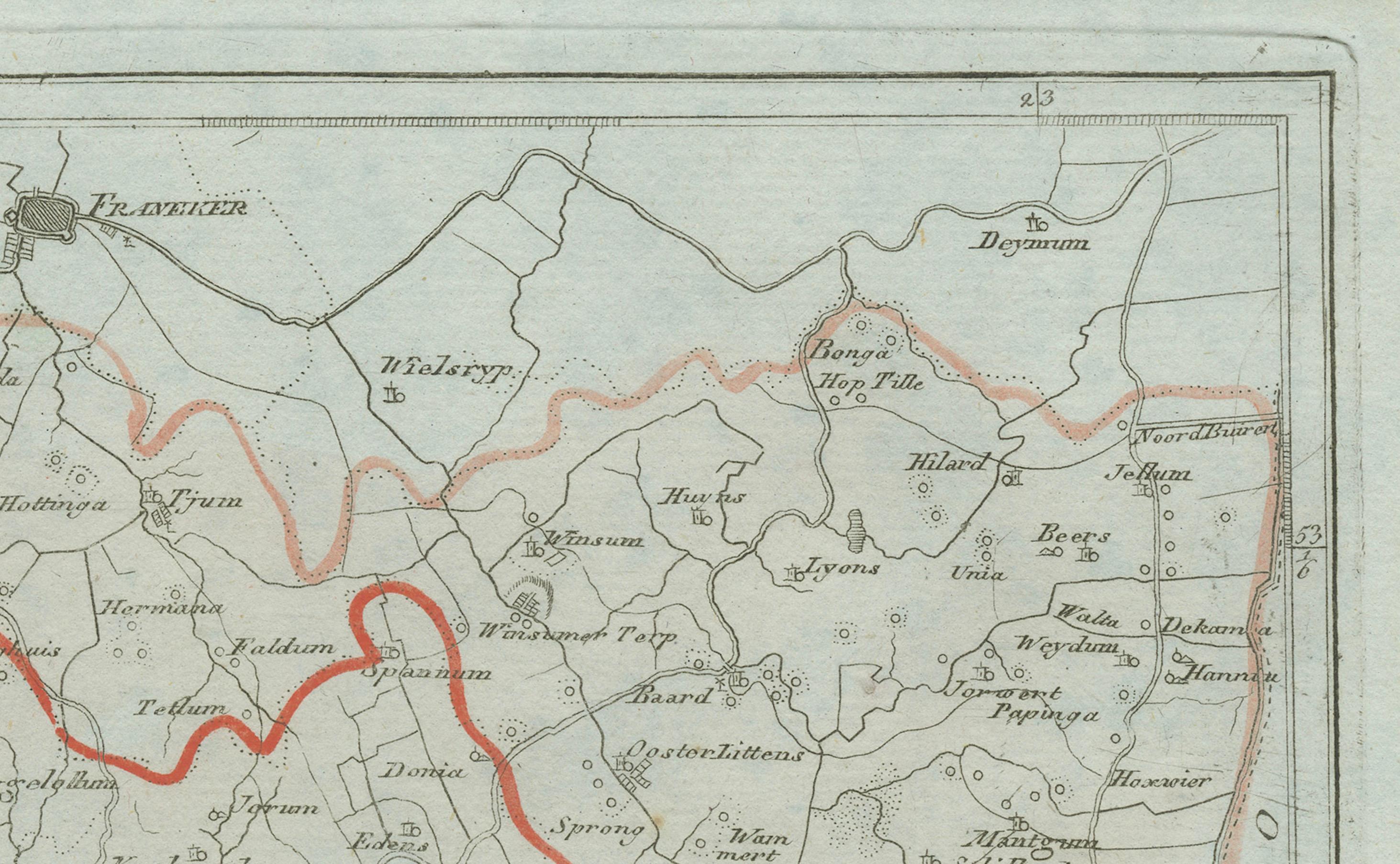
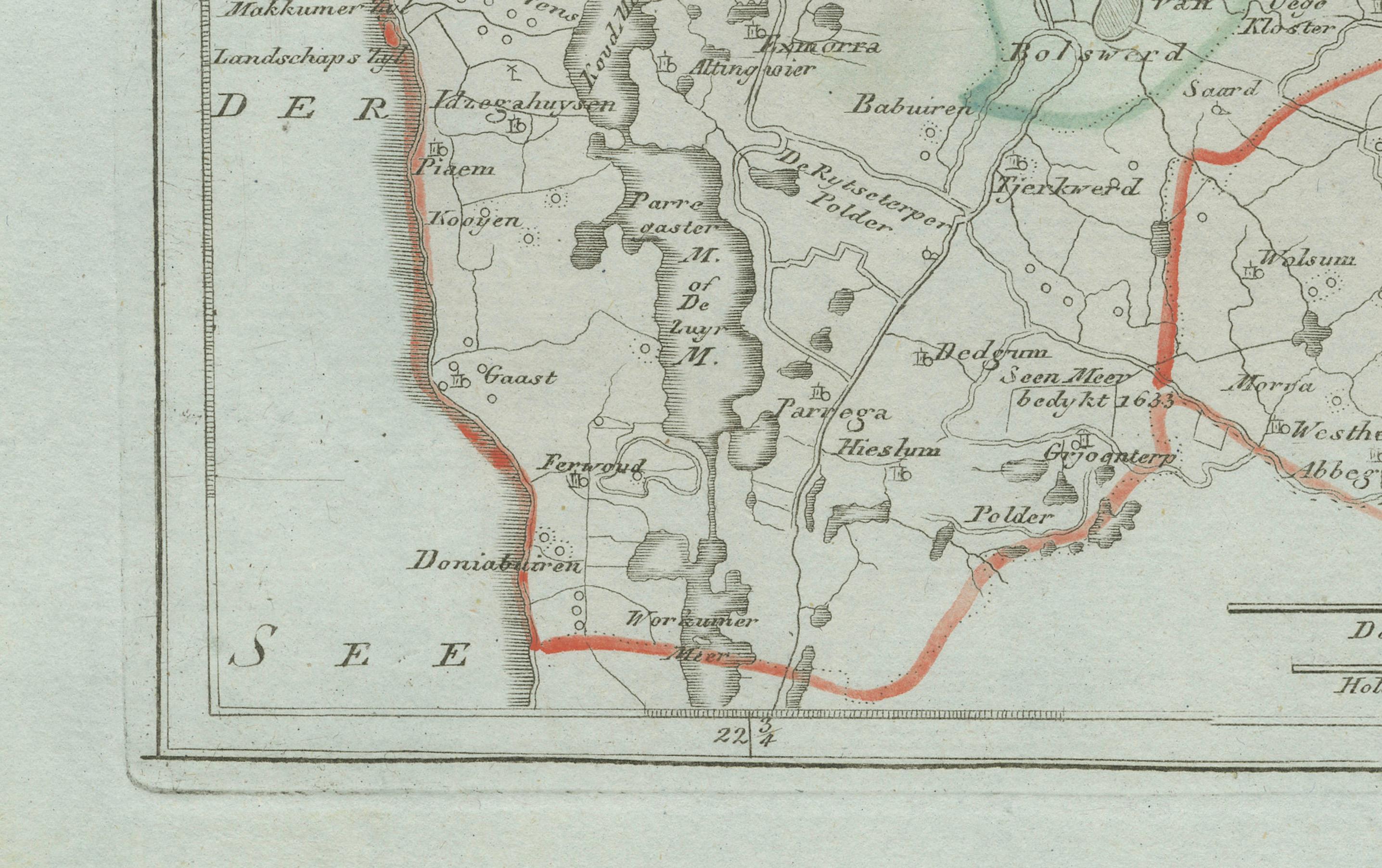
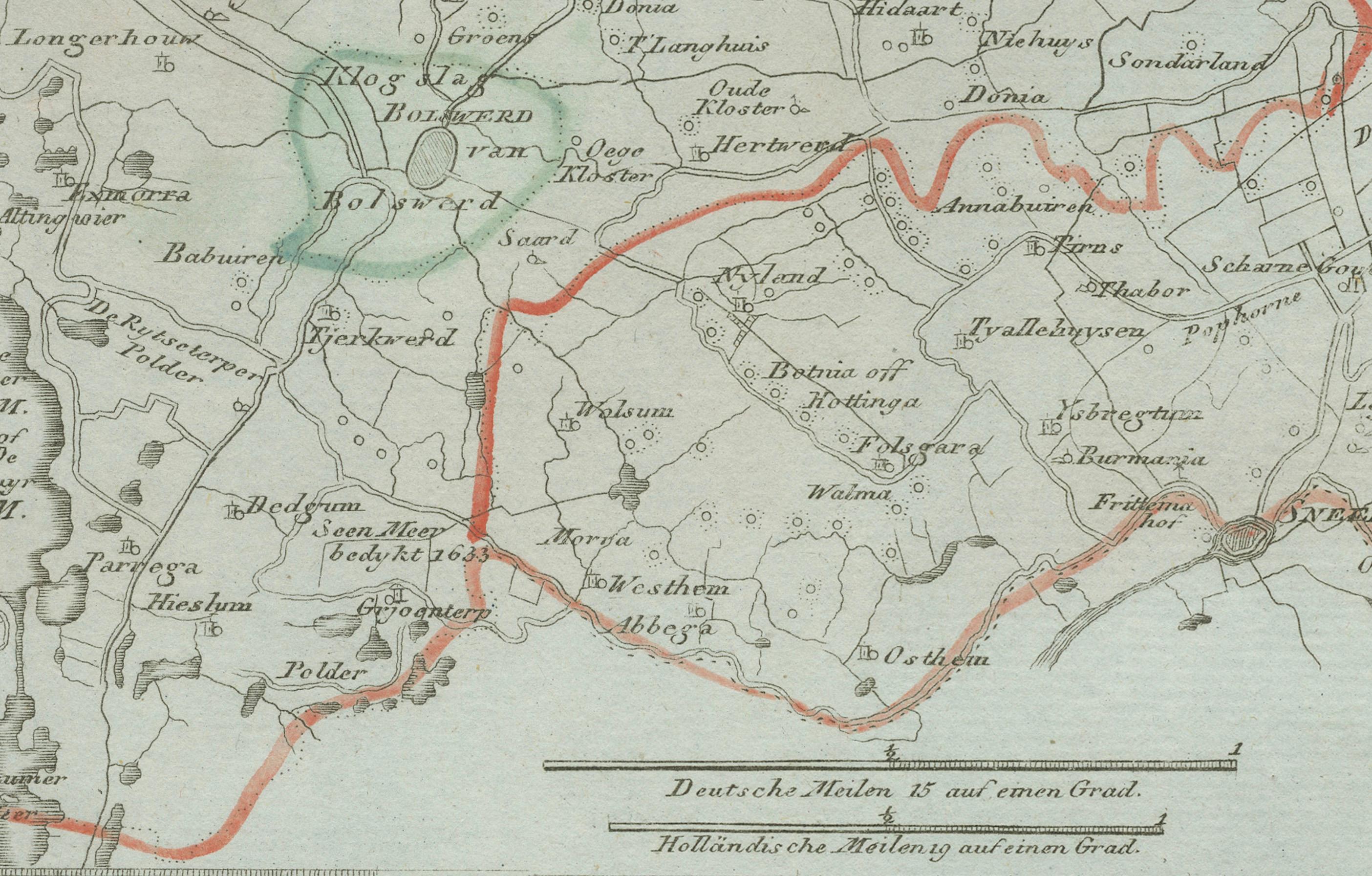
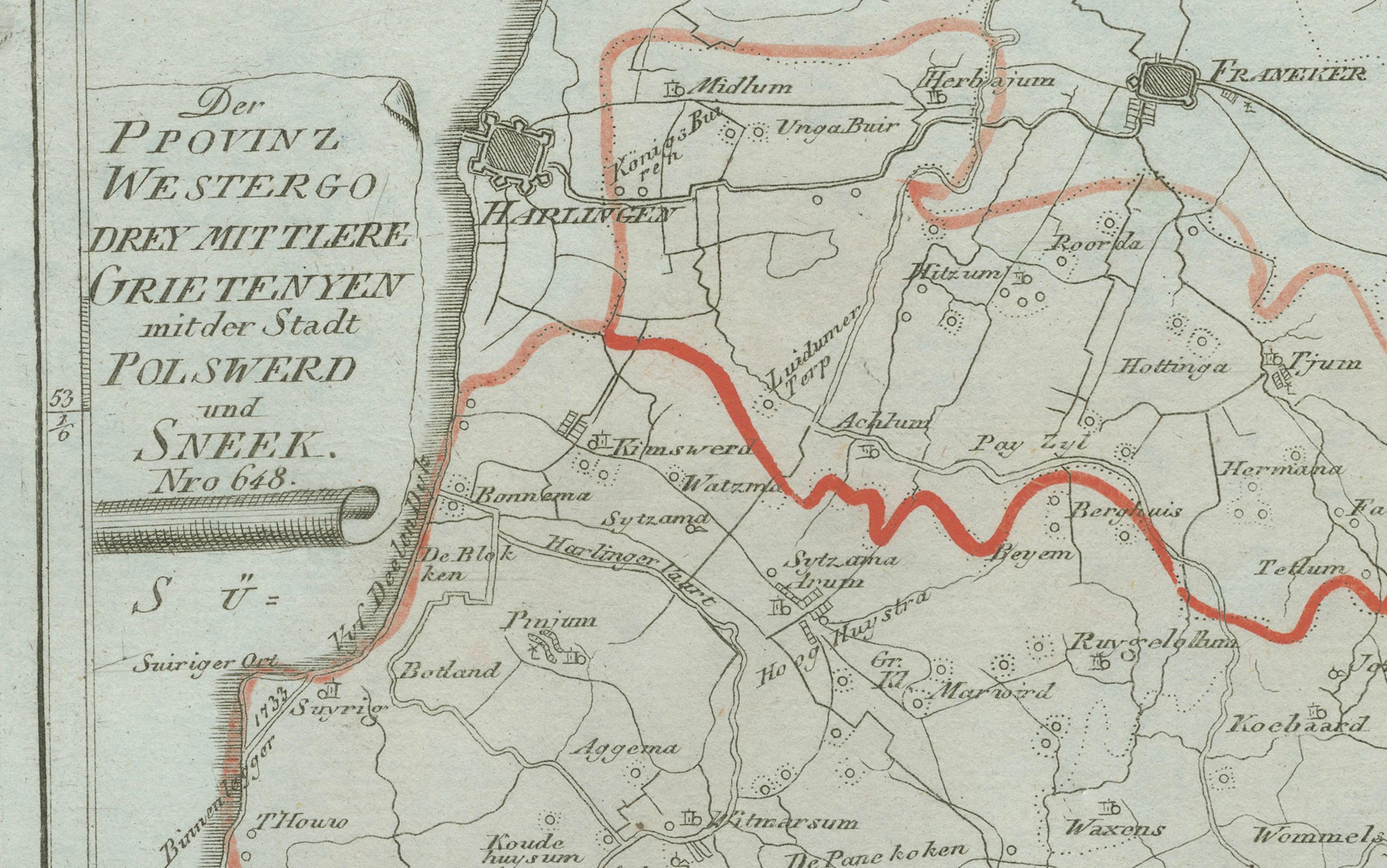
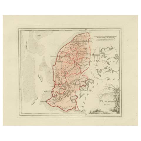
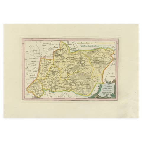
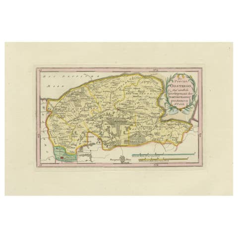
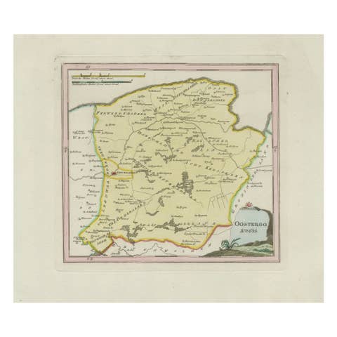
Original 18th-century engraved map titled Der Provinz Westergo drey mittlere Grietenyen, mit der Stadt Bolsward und Sneek, published in Vienna in 1791. The map covers the central part of Friesland, with special focus on the towns of Sneek (Snits) and Bolsward, two important urban centers in the province. Surrounding villages, waterways, and boundaries of the grietenijen (rural districts) are carefully delineated, with district borders highlighted in red and additional details in light green.
This map was published in Franz Joseph Johann von Reilly’s renowned atlas Schauplatz der fünf Theile der Welt (“Showplace of the Five Parts of the World”), an ambitious work that sought to cover both European and overseas territories. Von Reilly (1766–1820) was a Viennese art dealer, publisher, and mapmaker who played a central role in Austrian cartography during the late 18th century. The engraving was executed by Ignaz Alberti (1760–1794), an Austrian illustrator and engraver whose crisp style ensured the maps were both accurate and visually appealing.
The map situates Sneek and Bolsward in their historic Frisian landscape, famous for its intricate waterways, lakes, and polders. During this period, Sneek was already a major trading town connected to inland shipping routes, while Bolsward thrived as one of Friesland’s medieval cities with a long history of commerce and craftsmanship.
The composition is further enhanced by a simple decorative cartouche at upper left, enclosing the title in a classic design. This print offers valuable insights into Friesland’s geography at the close of the 18th century, and remains an attractive piece for collectors of Dutch provincial maps and Austrian engravings alike.
Condition report: Good condition with light general toning. Some faint marginal staining at the right edge, well outside the image area. Borders outlined in original hand color. Blank verso.
Framing tips: A dark walnut or ebonized frame with a cream or off-white mount will emphasize the delicate linework and coloring. For a refined effect, consider a double mat with a thin red or green line to mirror the hand-colored district borders.
Technique: Engraving with original hand color
Maker: Franz Joseph Johann von Reilly, engraved by Ignaz Alberti, Vienna, 1791