

Southern Europe · 18th century
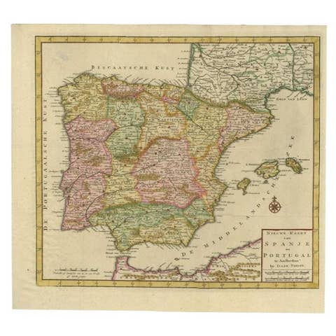
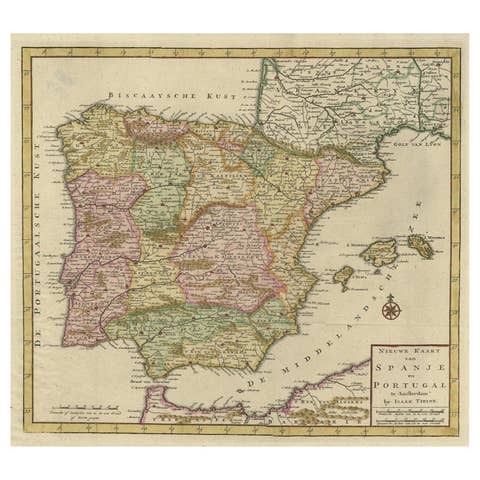
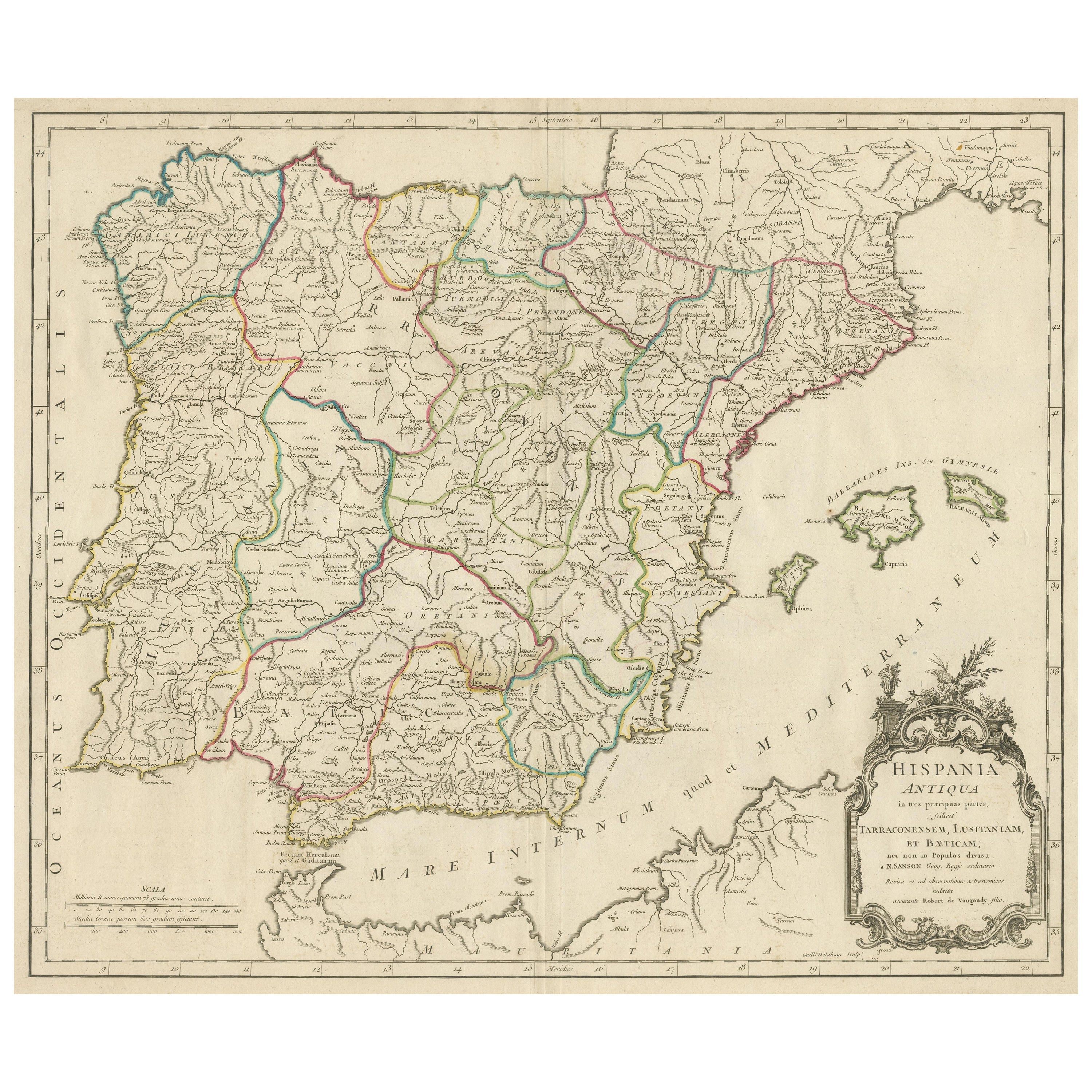

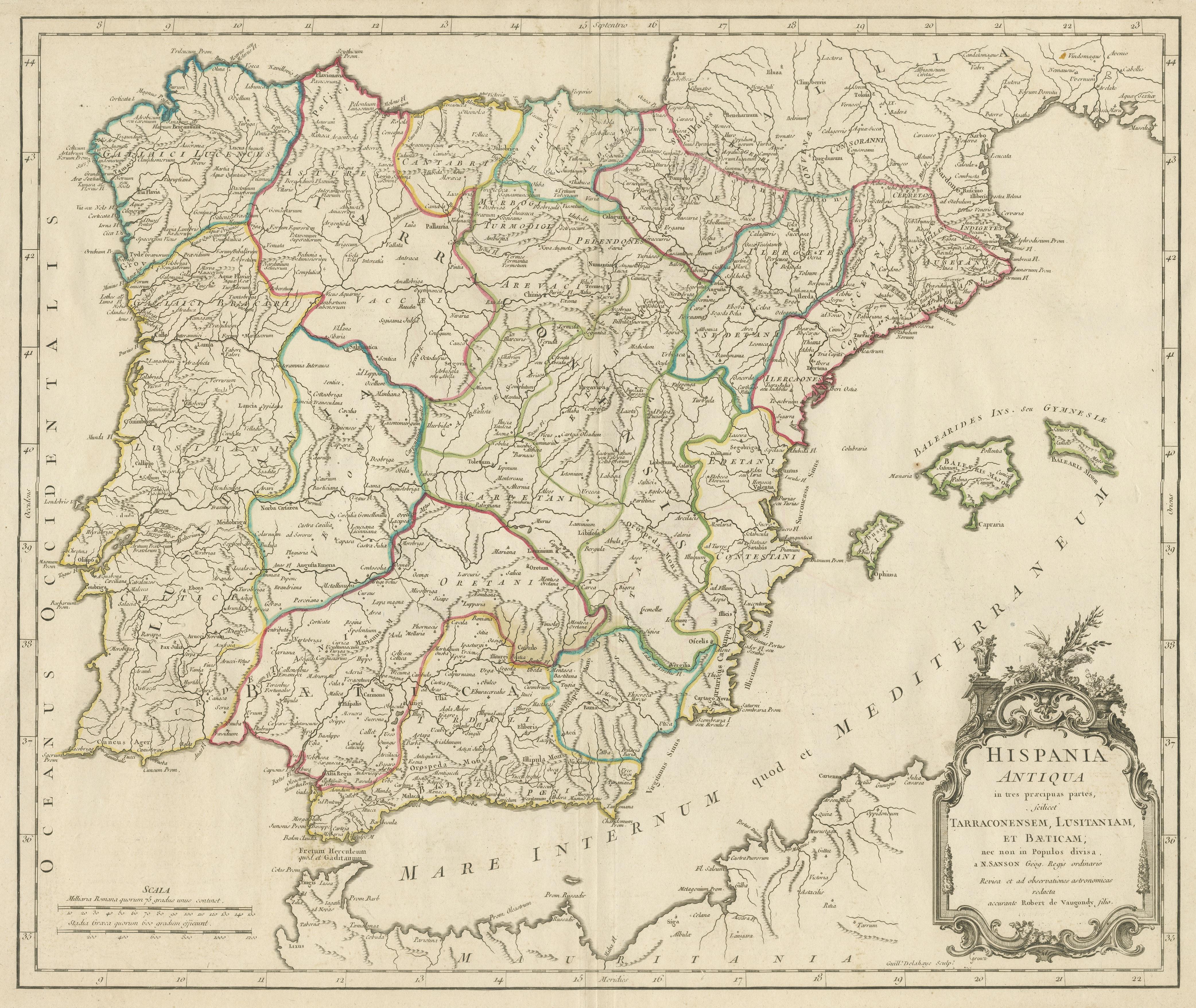
Large Antique Map of Ancient Spain and Portugal, Published in circa 1760
€ 440
One of a kind: this is the sheet in the photographs. Ships from Langweer, the Netherlands.
- Date
- 1760
- Sheet size
- 51.2 × 68.2 cm (20.2 × 26.9 in)
- Condition
- Good
- Reference
- BG-13433-2
Condition
Repaired: Very small repair left of title cartouche. General age-related toning. Original folding line. Shows some wear and soiling. Few stains affecting image. Blank verso. Please study image carefully.