Maps & PrintsBartele Gallery · Langweer
Home / Antique Maps / Europe / Europe as a Whole

Europe as a Whole · 18th century

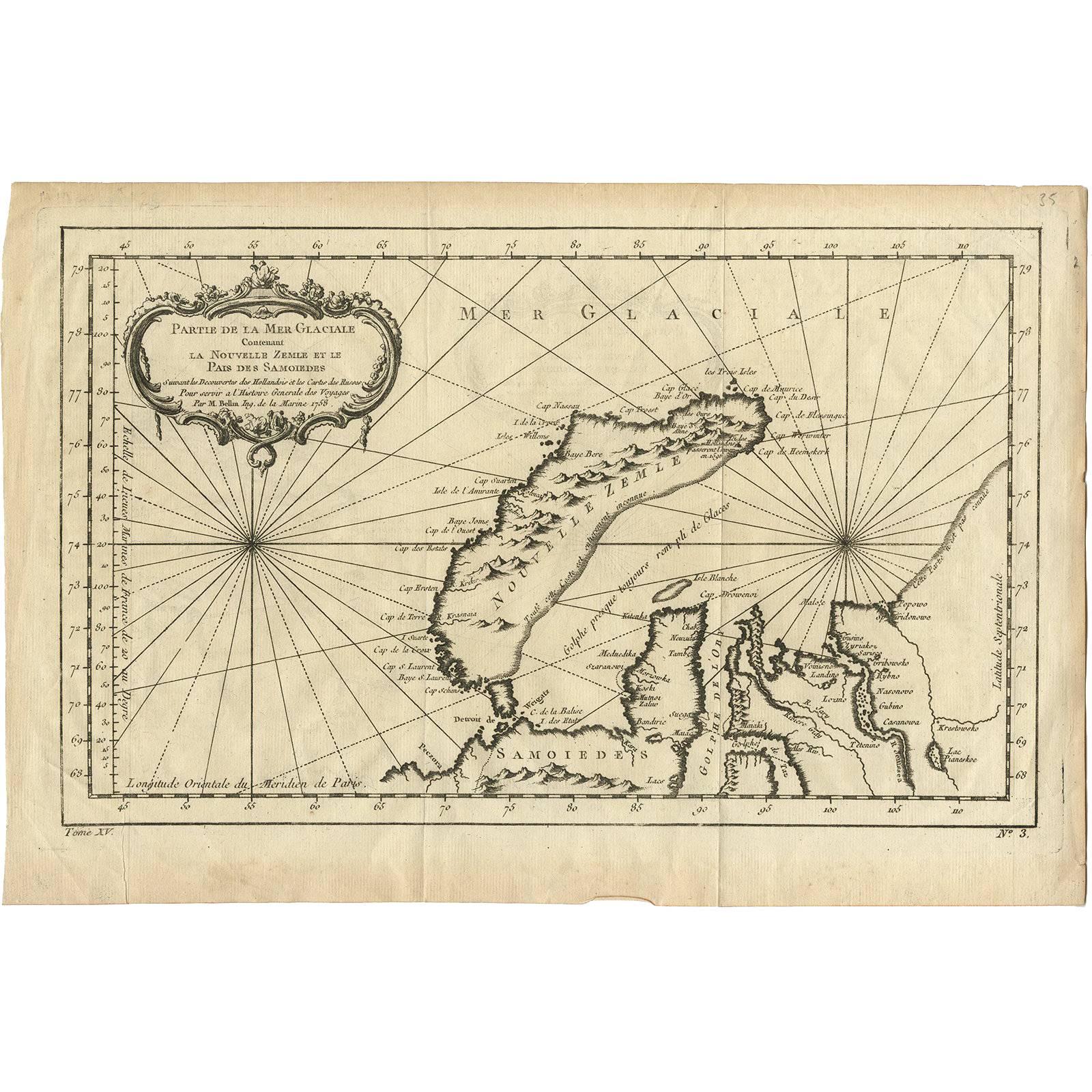
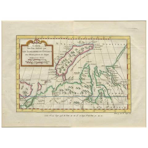
Antique Map of Nova Zembla ‘Russia’ by J.N. Bellin, 1758

€ 240

One of a kind: this is the sheet in the photographs. Ships from Langweer, the Netherlands.

Date
1758
Sheet size
25.5 × 38.3 cm (10.0 × 15.1 in)
Condition
Good
Reference
BG-02753

Condition

Please study image carefully.
About this sheet

An interesting map of Nova Zembla and surrounding areas. With details on the eastern tip of Nova Zembla of the place where the stranded Dutch sailors under Willem Barentsz spent the winter at the end of the 16th century (´Het Behouden Huys´).

More from Europe as a Whole

Ask about this sheet

Antique Map of Nova Zembla ‘Russia’ by J.N. Bellin, 1758
1758 · Ref. BG-02753 · € 240
We reply by email, usually within one working day.