About this sheet
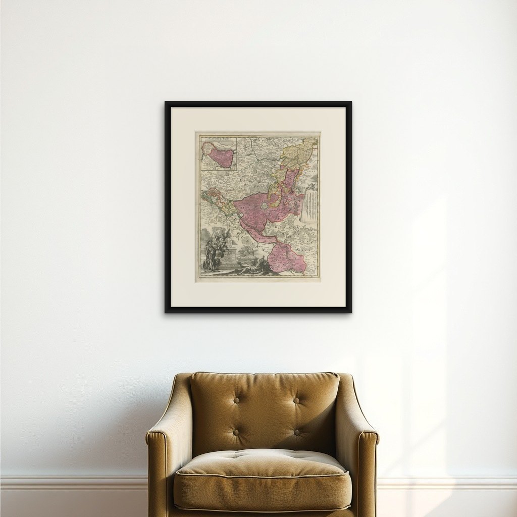
Historical Map of the Duchy of Lauenburg by Johann Baptist Homann - Circa 1720
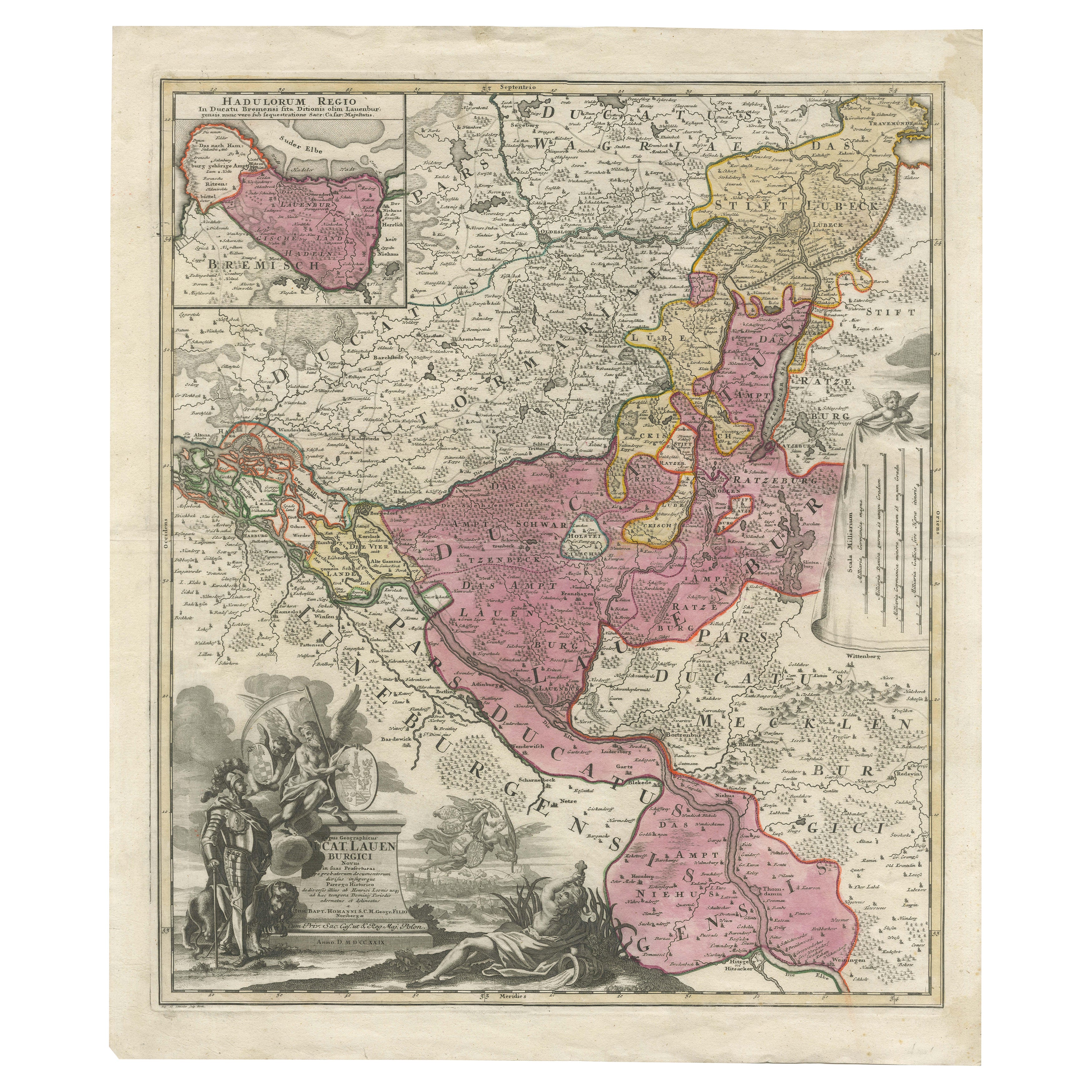
This splendid historical map titled Ducatus Lauemburgicus is a highly detailed and beautifully engraved copperplate map produced by Johann Baptist Homann around 1720. The map showcases the Duchy of Lauenburg (Lauenburg in present-day Schleswig-Holstein, Germany) and its surroundings, offering a comprehensive and precise depiction of the region during the early 18th century.
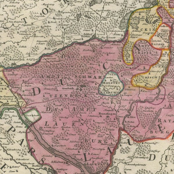
Johann Baptist Homann, one of the most prominent German cartographers of his time, created this map with meticulous attention to detail, reflecting the geographical and political landscape of the Duchy of Lauenburg and adjacent areas. The map is hand-colored in rich, old hues of pink, yellow, and green, highlighting various territorial divisions and duchies. The strong, contrasting colors provide clarity to the intricate borders and subdivisions, emphasizing the diverse political entities present at that time.
An inset map in the upper left corner, labeled Hadelorum Regio, provides a closer view of the region around Stade and Buxtehude, highlighting additional administrative details. The use of inset maps to provide detailed regional views was a hallmark of Homann’s cartographic style, showcasing his dedication to accuracy and thorough representation.
One of the most captivating elements of this map is the richly ornate cartouche located in the lower left corner. This cartouche exemplifies the baroque style, featuring mythological figures, regal symbolism, and heraldic elements. A prominent armored warrior stands beside a pedestal inscribed with the title, while allegorical figures, including a reclining river god and putti, add artistic flair and grandeur. The symbolism of strength and authority reflects the noble heritage of the Duchy of Lauenburg.
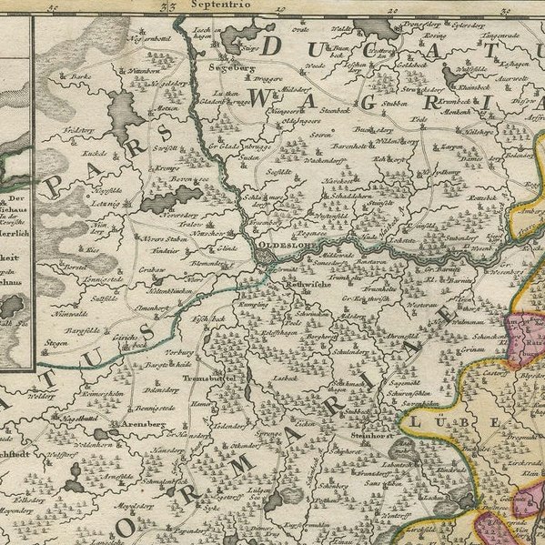
The map’s detailed engraving captures natural features such as rivers, forests, and settlements with remarkable precision. The inclusion of numerous towns, villages, and geographic landmarks highlights the cartographer’s extensive knowledge and dedication to accuracy. Homann’s mastery of the copperplate engraving technique is evident in the finely etched lines and precise topographic details.
This map not only serves as a valuable historical document but also as an artistic masterpiece of 18th-century cartography. Collectors and enthusiasts appreciate its combination of geographical accuracy and elaborate visual elements, making it an enduring symbol of European cartographic heritage.
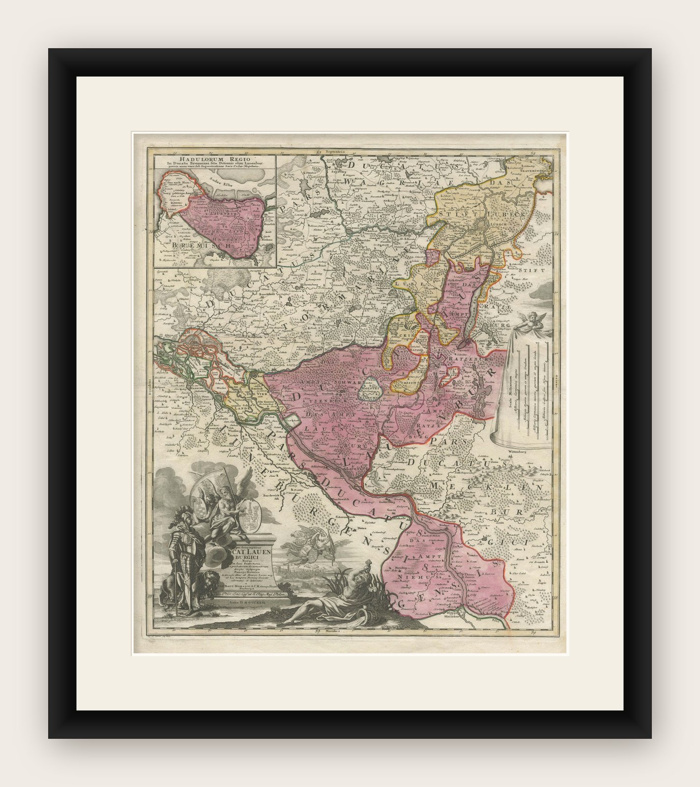
Framing Tips: To preserve and enhance the presentation of this historical map, choose a classic wooden frame in a dark walnut or mahogany finish, complemented by a cream or light tan mat. Use UV-protective, non-reflective glass to prevent fading and glare, ensuring long-lasting preservation and optimal display.