
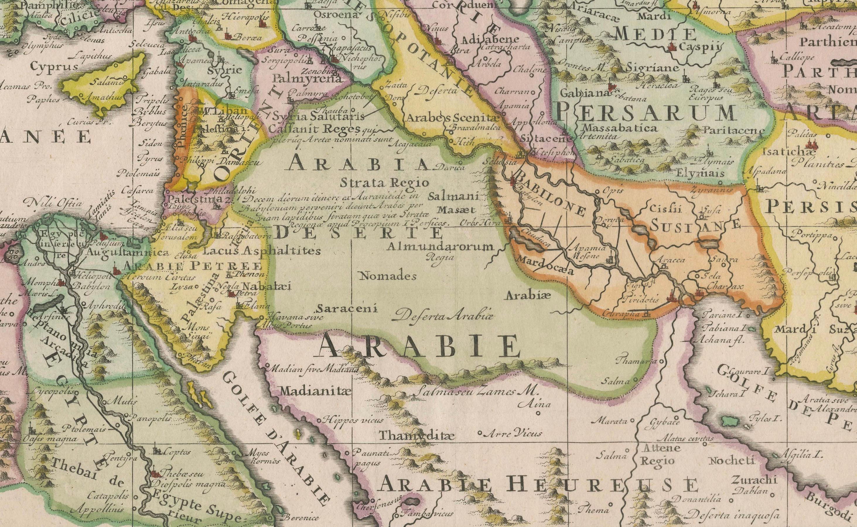
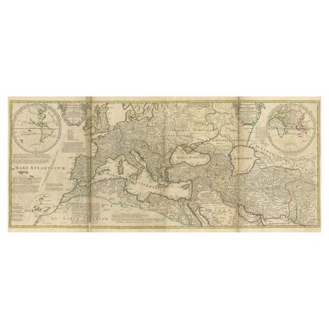
18th-Century Map of the Eastern Roman Empire by Henri Chatelain, c. 1719
€ 1 200
One of a kind: this is the sheet in the photographs. Ships from Langweer, the Netherlands.
Date
1719
Sheet size
55 × 63 cm (21.7 × 24.8 in)
Condition
Good
Reference
BG-14043-7
Condition
Condition report: The map is in very good condition for its age, with vibrant hand-coloring and sharp engraving. Slight toning and minor foxing are present, particularly in the margins, but these do not detract from the overall clarity and appeal.
About this sheet
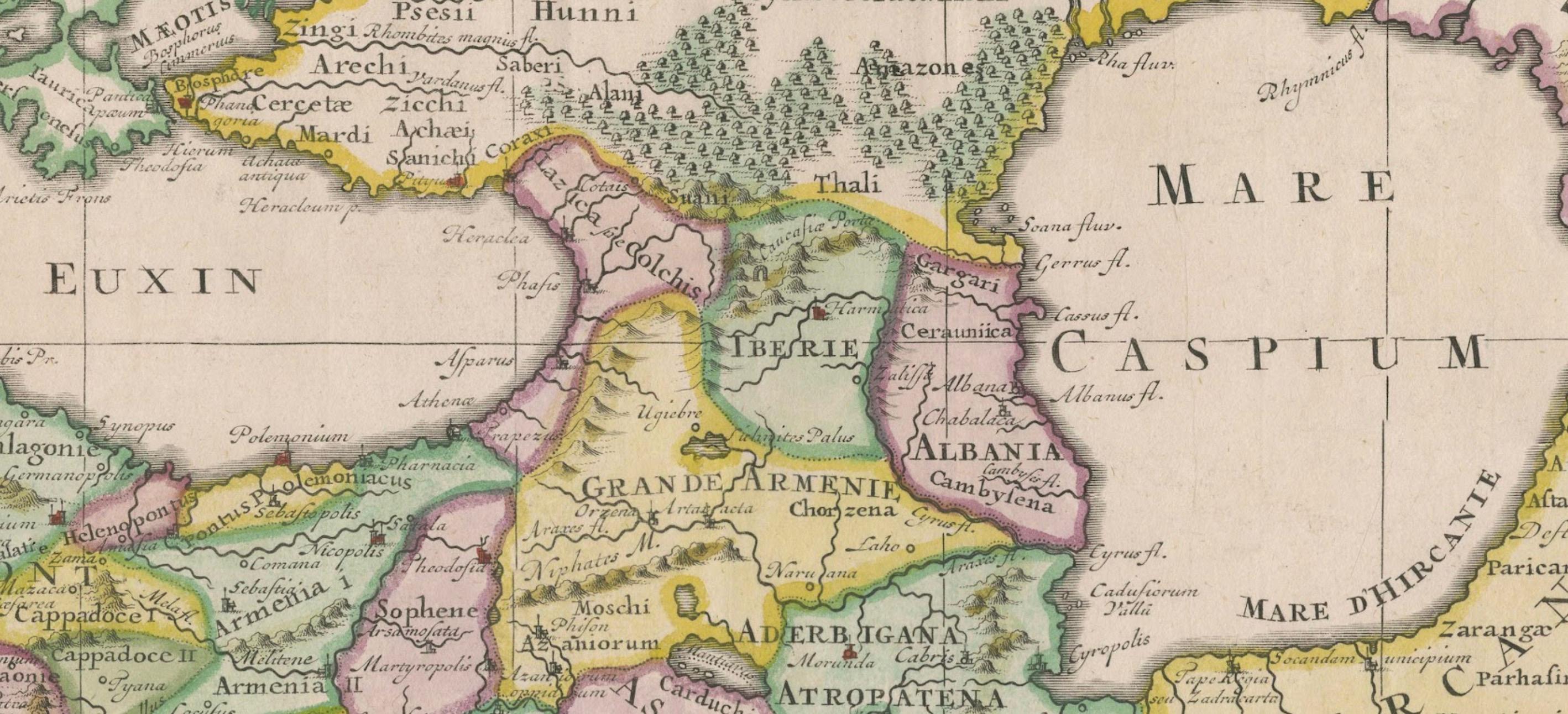
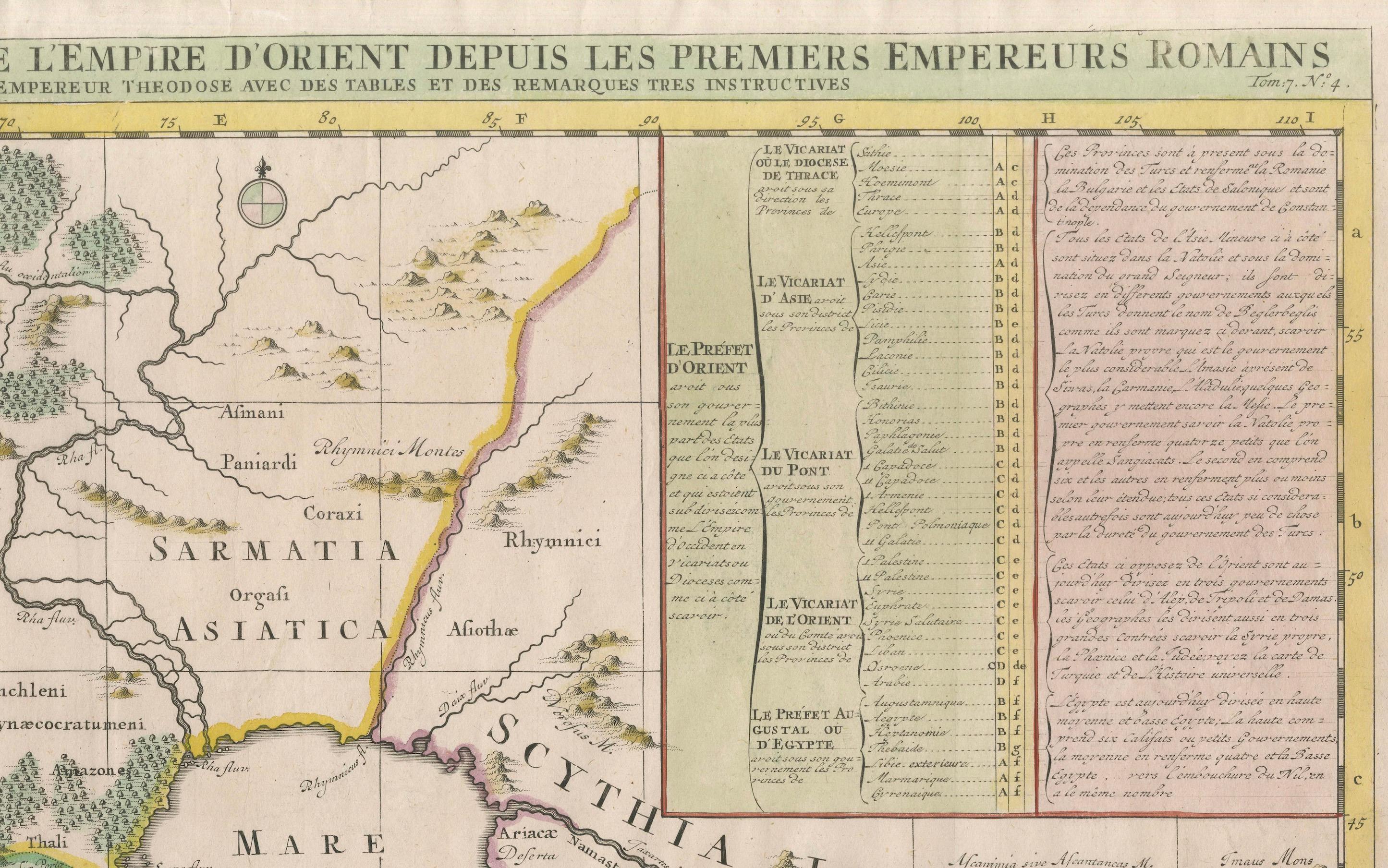
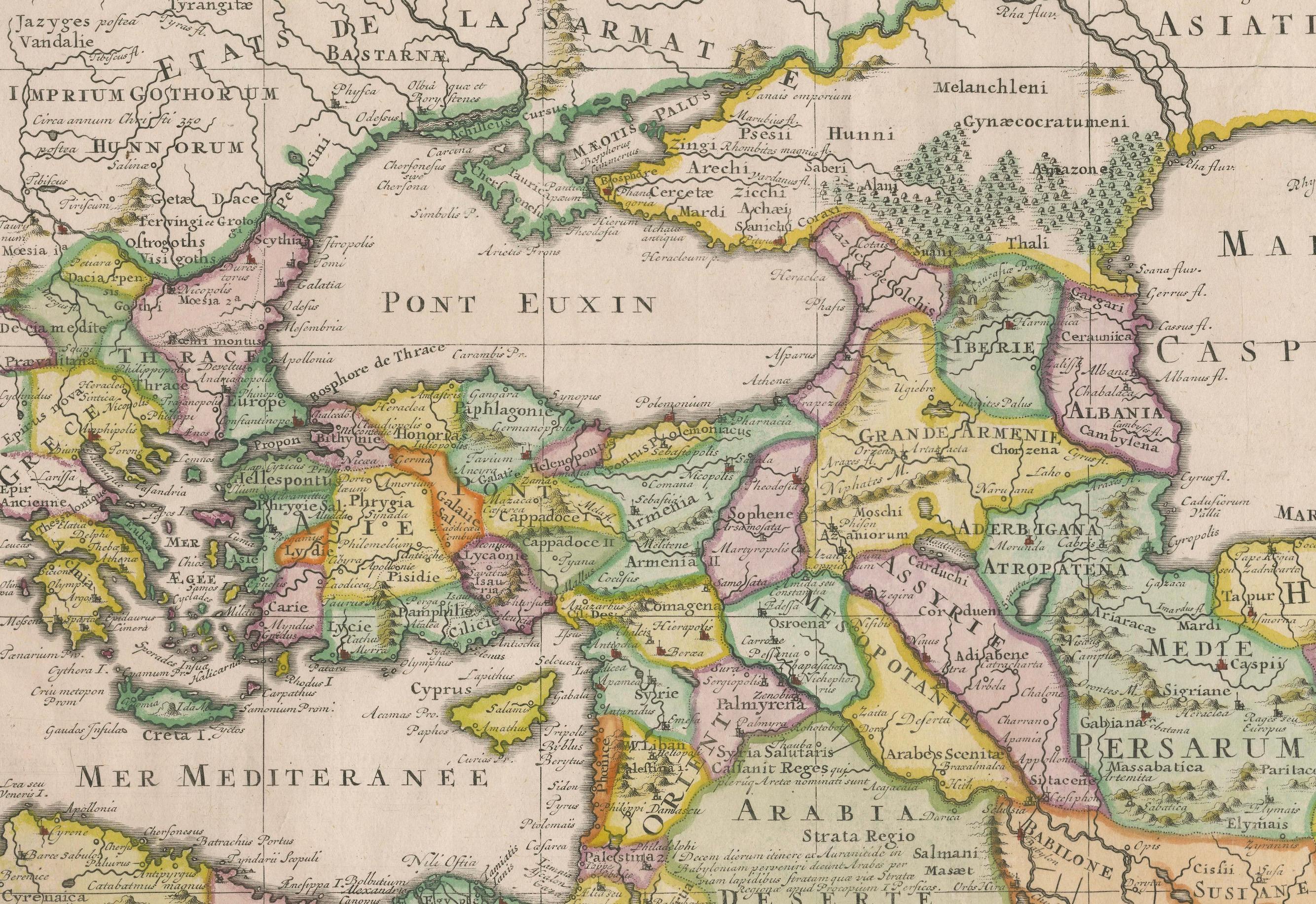
This intricately detailed map, titled *Nouvelle Carte pour Servir à l'Histoire de l'Empire d'Orient depuis les Premiers Empereurs Romains...*, was created by Henri Chatelain around 1719. It portrays the Eastern Roman Empire, spanning the Mediterranean, Near East, and Central Asia, while including notable regions such as Scythia, Persia, Mesopotamia, and the Levant. This map was part of Chatelain’s monumental *Atlas Historique,* blending cartography with historical narrative.
The map is beautifully hand-colored and enriched with historical annotations and tables, explaining the territories and timelines of emperors, kingdoms, and conquests. Key locations, such as the Caspian Sea, the Pontus Euxinus (Black Sea), and the Arabian Peninsula, are carefully labeled, making this piece a fascinating exploration of historical geography. Its dual focus on geography and chronology appeals to both map collectors and history enthusiasts.
Condition report: The map is in almost excellent condition for its age, with vibrant hand-coloring and sharp engraving. Slight toning and minor foxing are present, particularly in the margins, but these do not detract from the overall clarity and appeal.
Framing tip: Use archival matting with UV-protective glass to preserve the map’s vibrant hand-coloring and paper integrity. A classic wooden frame, either natural or with gilded accents, will enhance its historical significance while providing an elegant display.