About this sheet
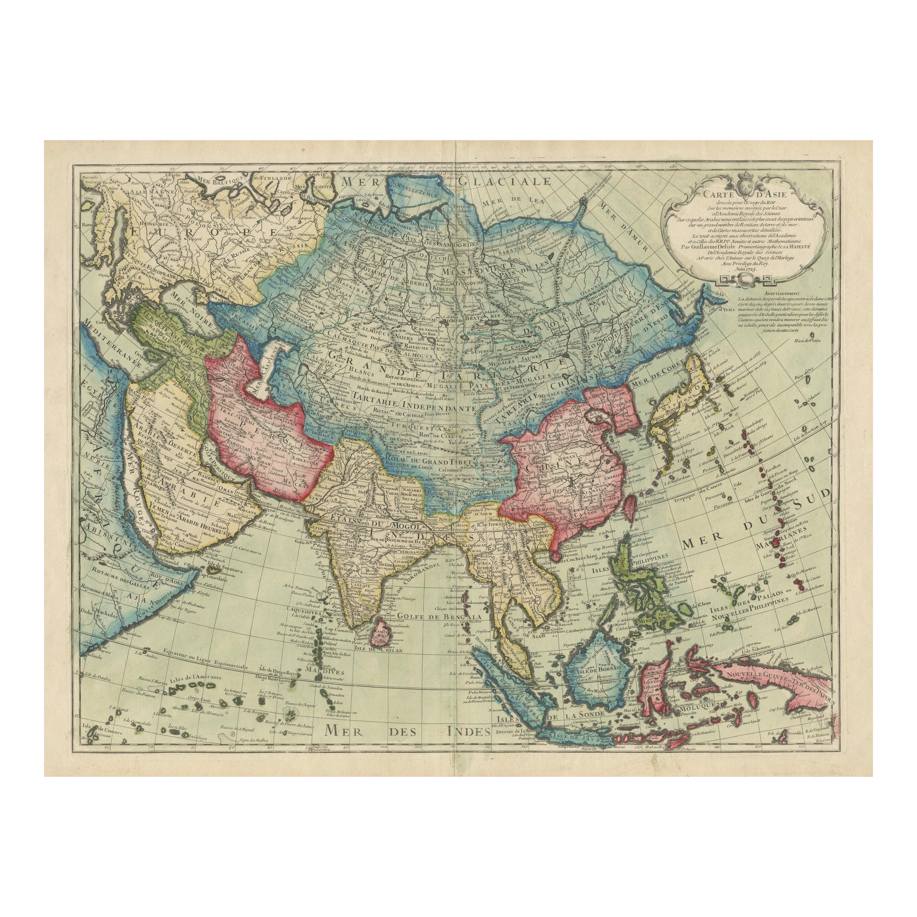

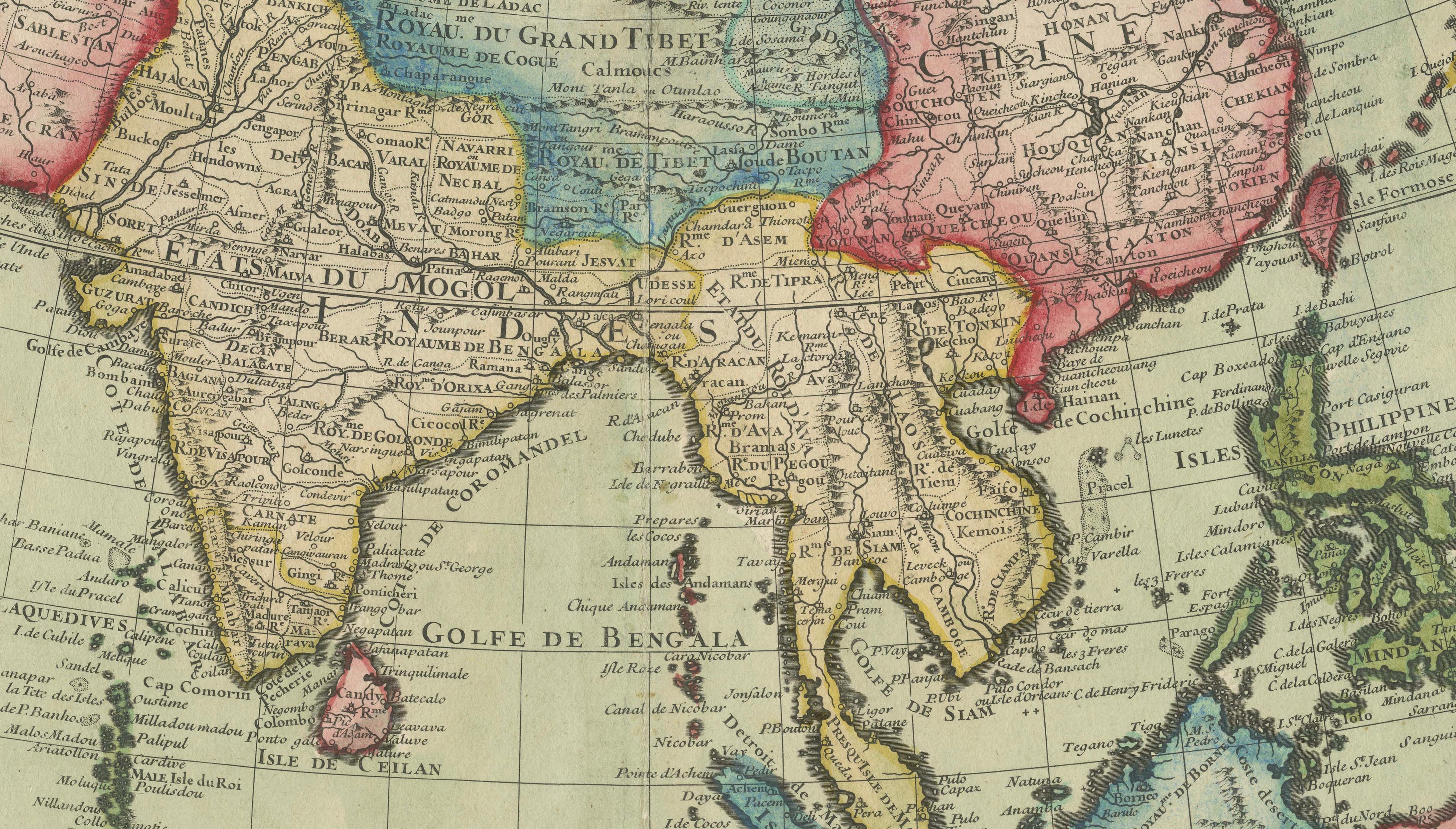
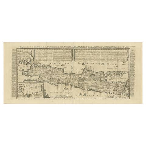
This rare and highly decorative antique map titled 'Carte d'Asie', engraved and hand-colored by 'Guillaume Delisle' and published in Paris in 1723, is one of the most influential 18th-century maps of Asia. Delisle, considered the father of modern cartography in France, was known for his emphasis on geographic accuracy and for incorporating the latest scientific observations into his maps. This edition was published 'Chez l’Auteur' (at the author’s address) in Paris and bears the signature hallmarks of Delisle's work, including detailed coastlines, precisely delineated political boundaries, and careful labeling of rivers, mountain ranges, and cities.
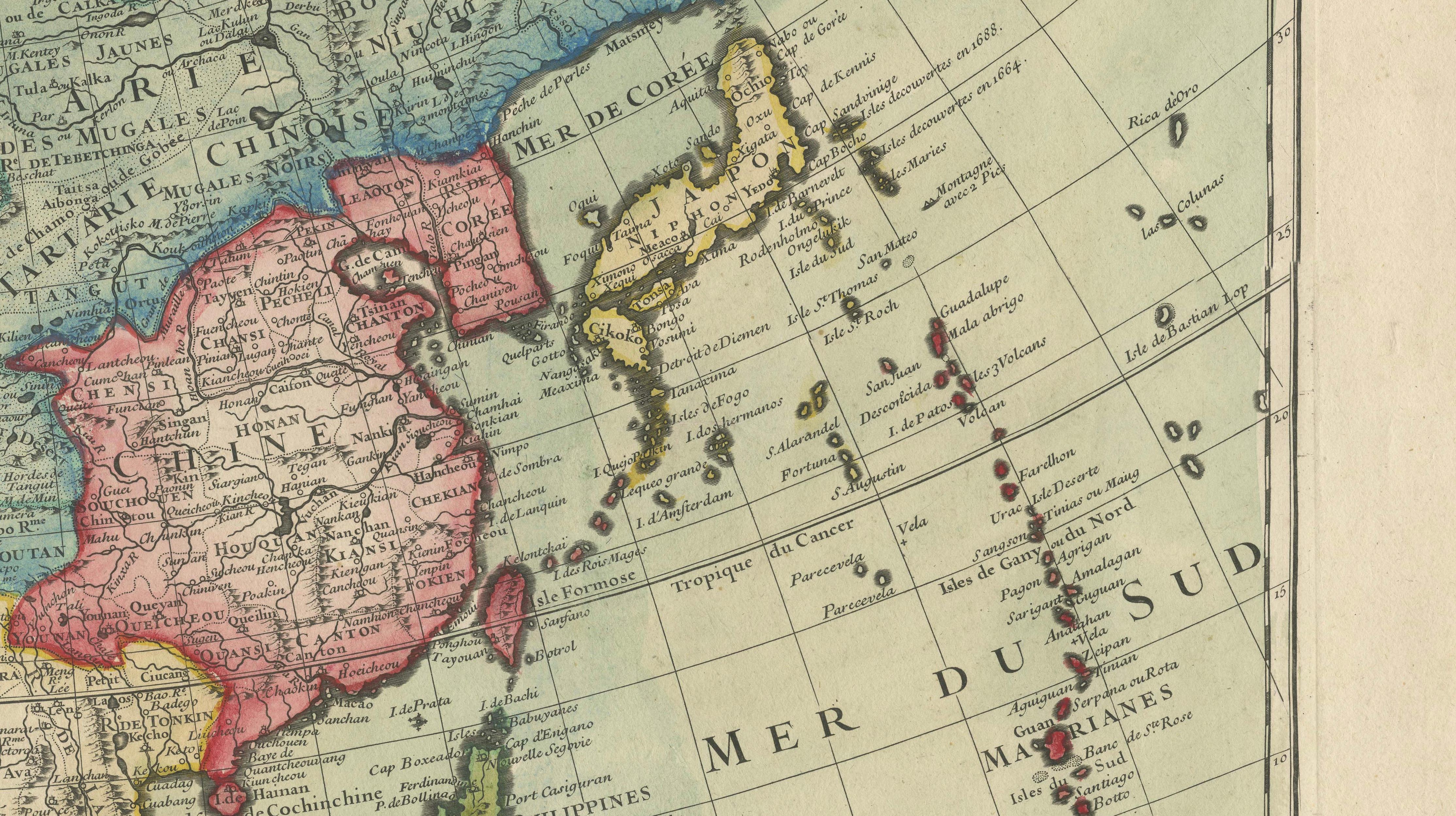
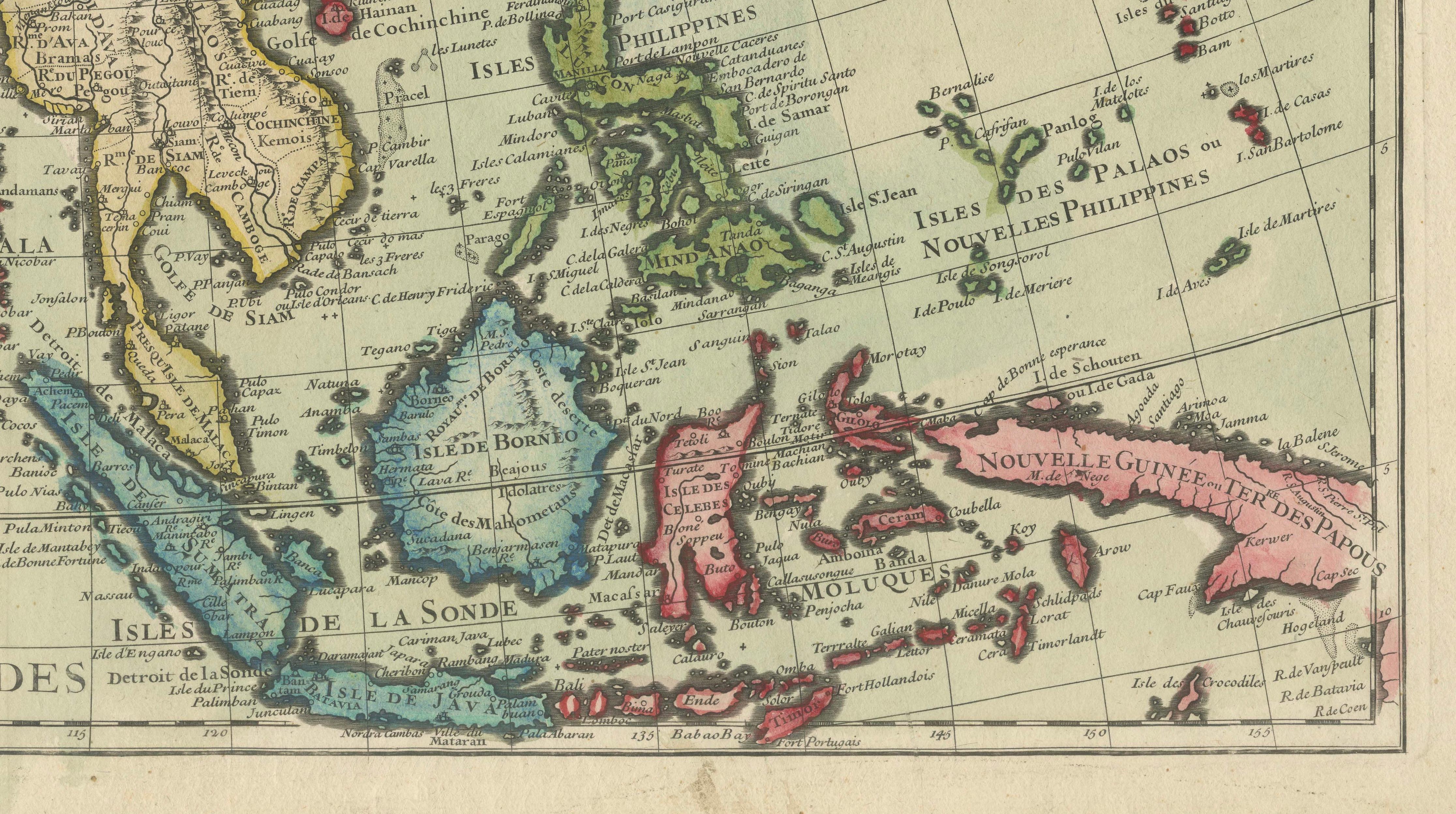
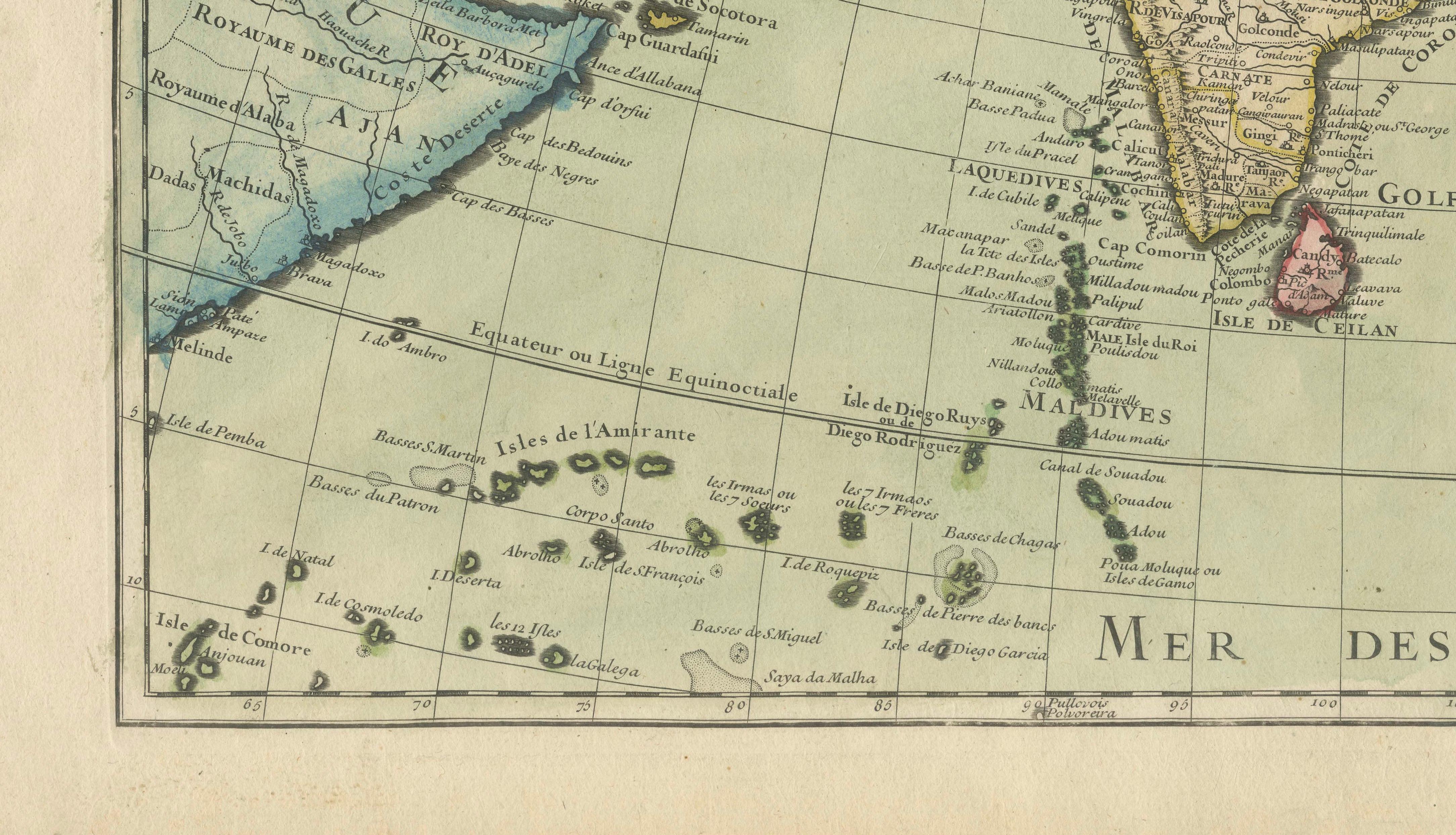
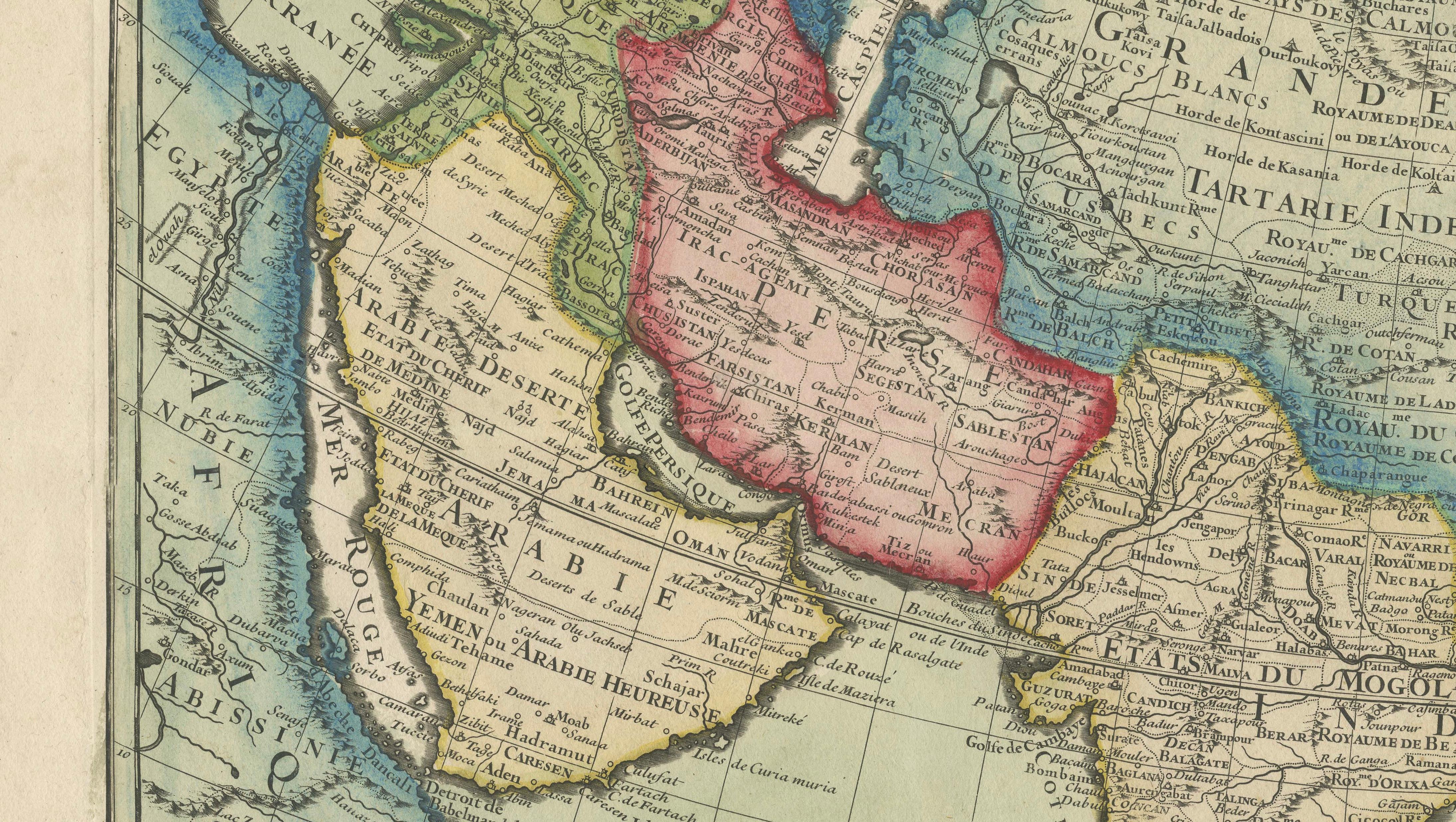
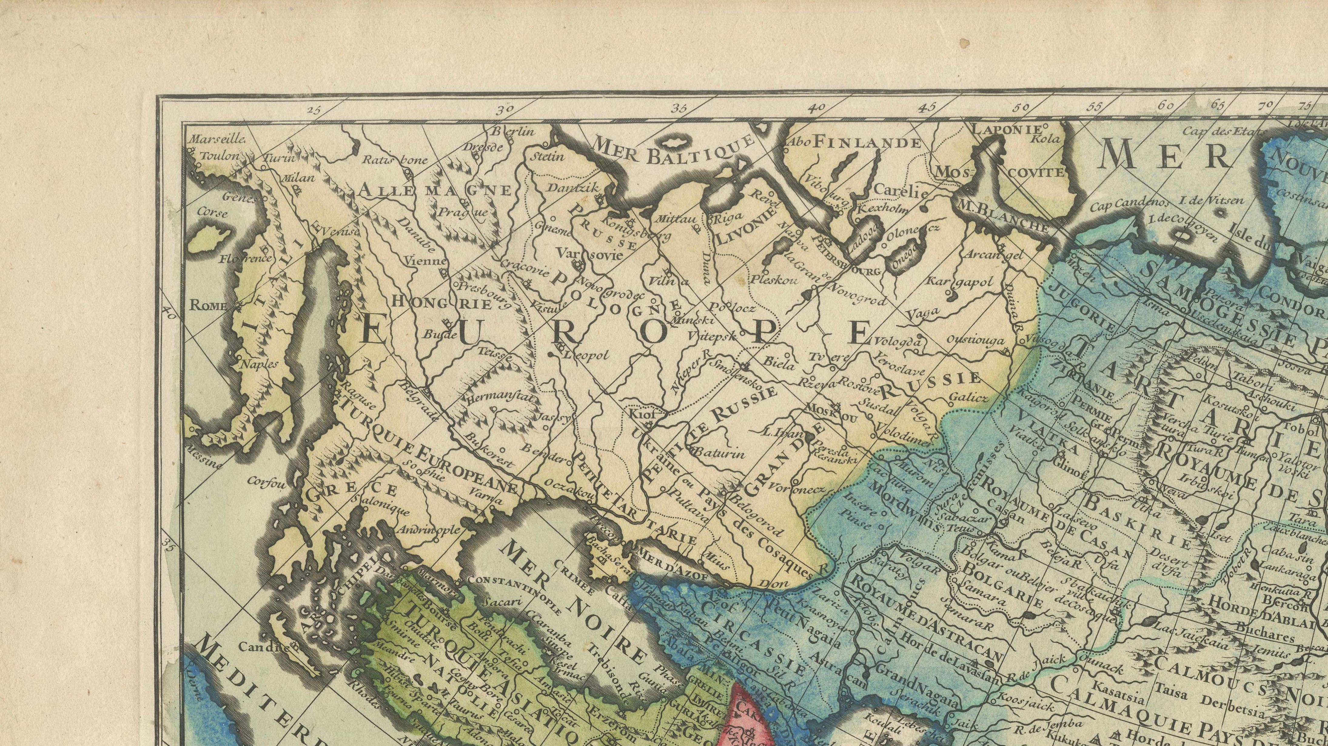
The map spans the entire continent of Asia, stretching from the eastern Mediterranean and the Arabian Peninsula across Central Asia, India, China, Japan, and all the way to New Guinea and parts of Southeast Asia, including the Philippines, Borneo, Sumatra, and Java. It is beautifully colored by hand, with major empires and regions outlined in vivid red, yellow, green, and blue tones.
One especially noteworthy feature is the depiction of Hokkaido (labeled as Yedso) merged with the northeastern landmass of Siberia—a common cartographic misconception of the period that highlights the era's evolving understanding of East Asian geography. The vast regions of Tartarie Indépendante, Empire du Grand Mogol, and Empire de la Chine are clearly labeled, as are numerous islands in the Mer des Indes and Mer du Sud.
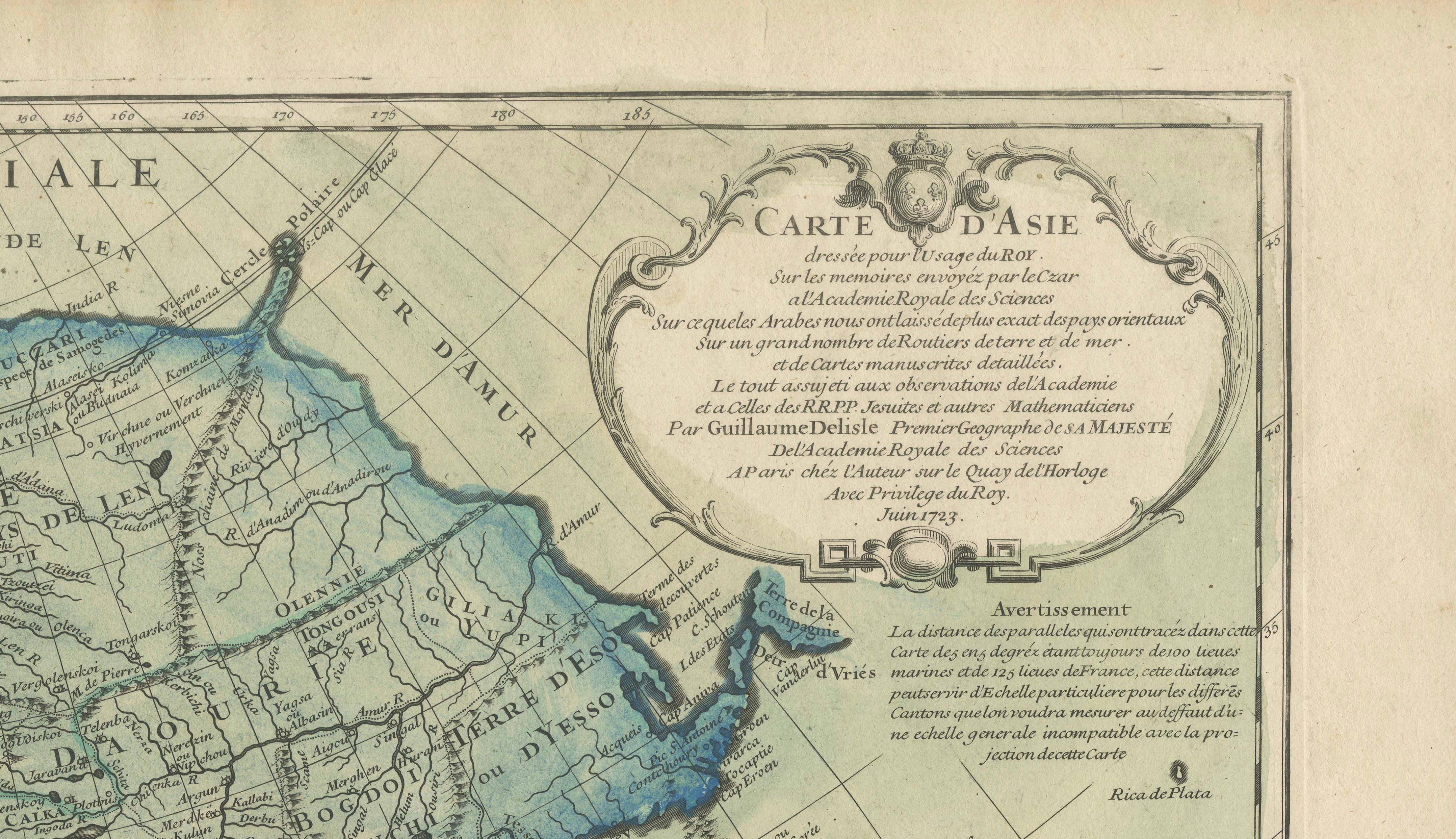
The map includes an elegant title cartouche in the upper right corner, with dedication and publishing details, reinforcing its status as a formal, scholarly work. Delisle’s maps were widely respected and used throughout Europe and became a reference for later mapmakers.
This is a historically significant and visually striking map, ideal for collectors of antique cartography, maps of Asia, or early Enlightenment-era geographic works.
Keywords: Guillaume Delisle map, 18th-century Asia map, antique French cartography, map of Asia 1723, hand-colored map Paris, Hokkaido early map error, Tartary map, Grand Mogol Empire, antique map Southeast Asia, Mer des Indes map, Paris Chez l’Auteur.
Condition:
Good condition for its age. Original hand coloring remains vivid. The paper shows some typical age-related toning, with light edge wear and a faint centerfold as issued. Minor spotting in the margins, but the image area is clean and well-preserved. No restorations but some small tears outside the platemark and image.
Framing Tip:
This map would benefit from a wide mat in soft ivory or antique cream, paired with a classic gilt, black, or walnut wooden frame to complement the historic character. Museum-grade glass is recommended to protect the pigments and paper from UV exposure. Ideal for libraries, offices, or galleries with a focus on global history, exploration, or cartography.