About this sheet
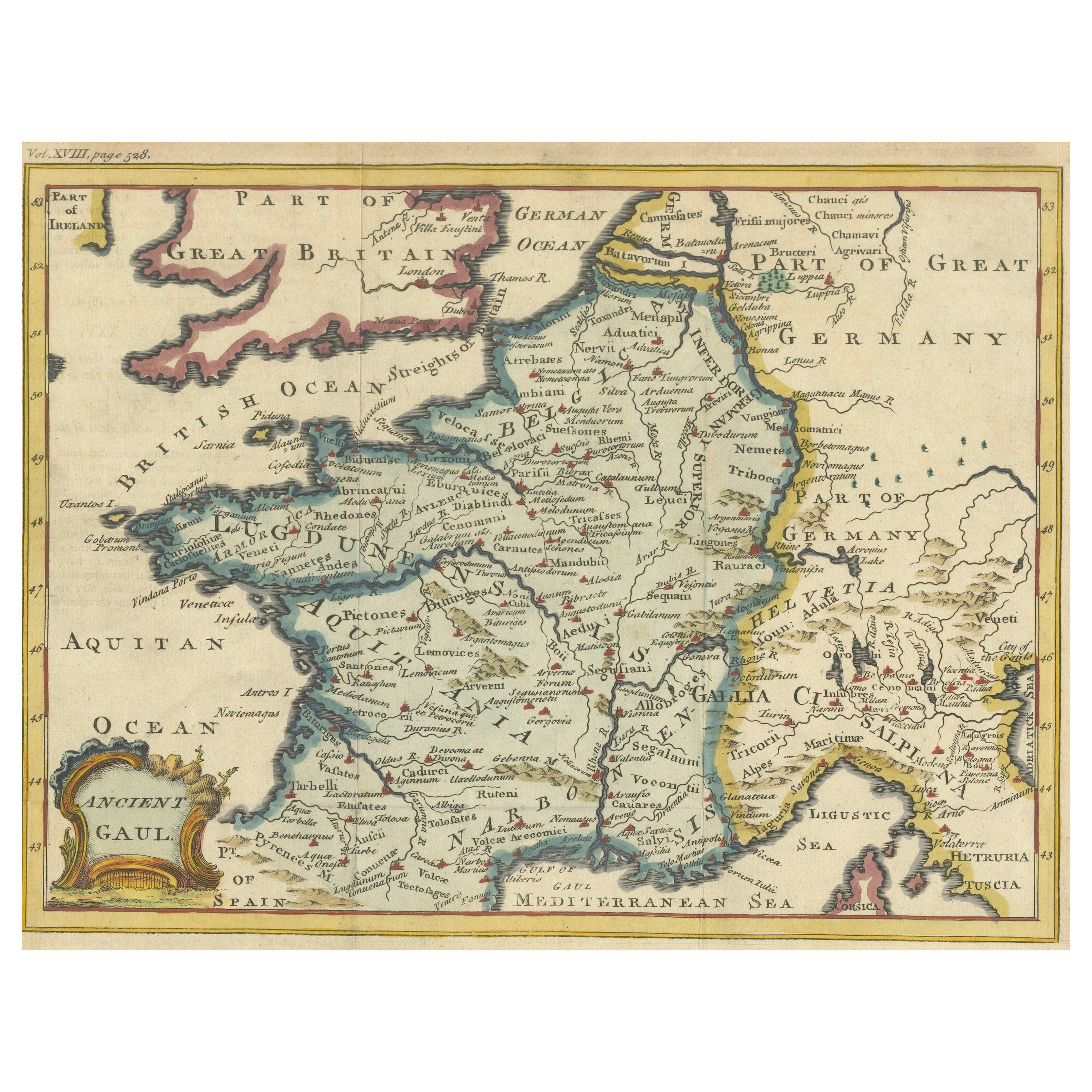
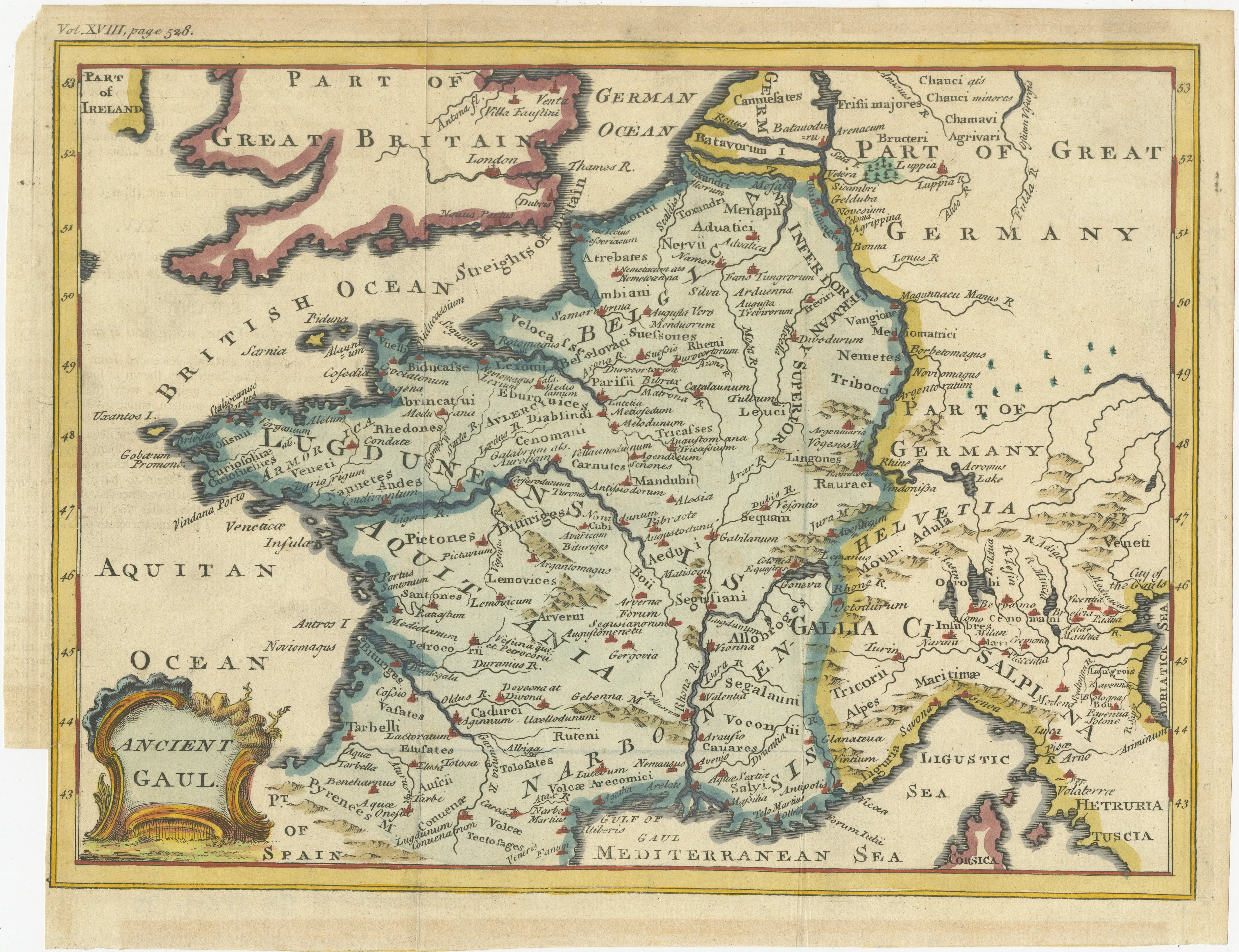
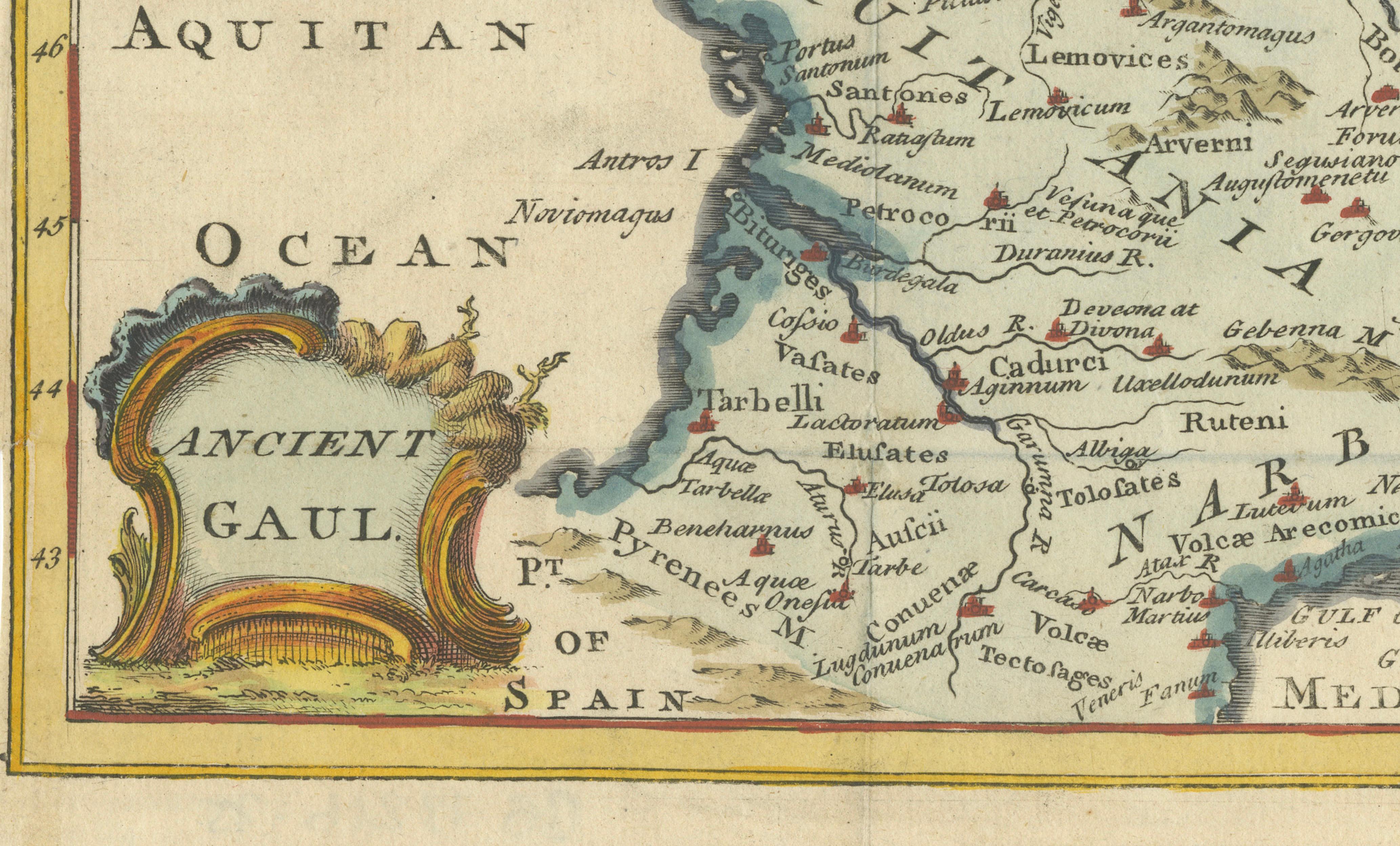
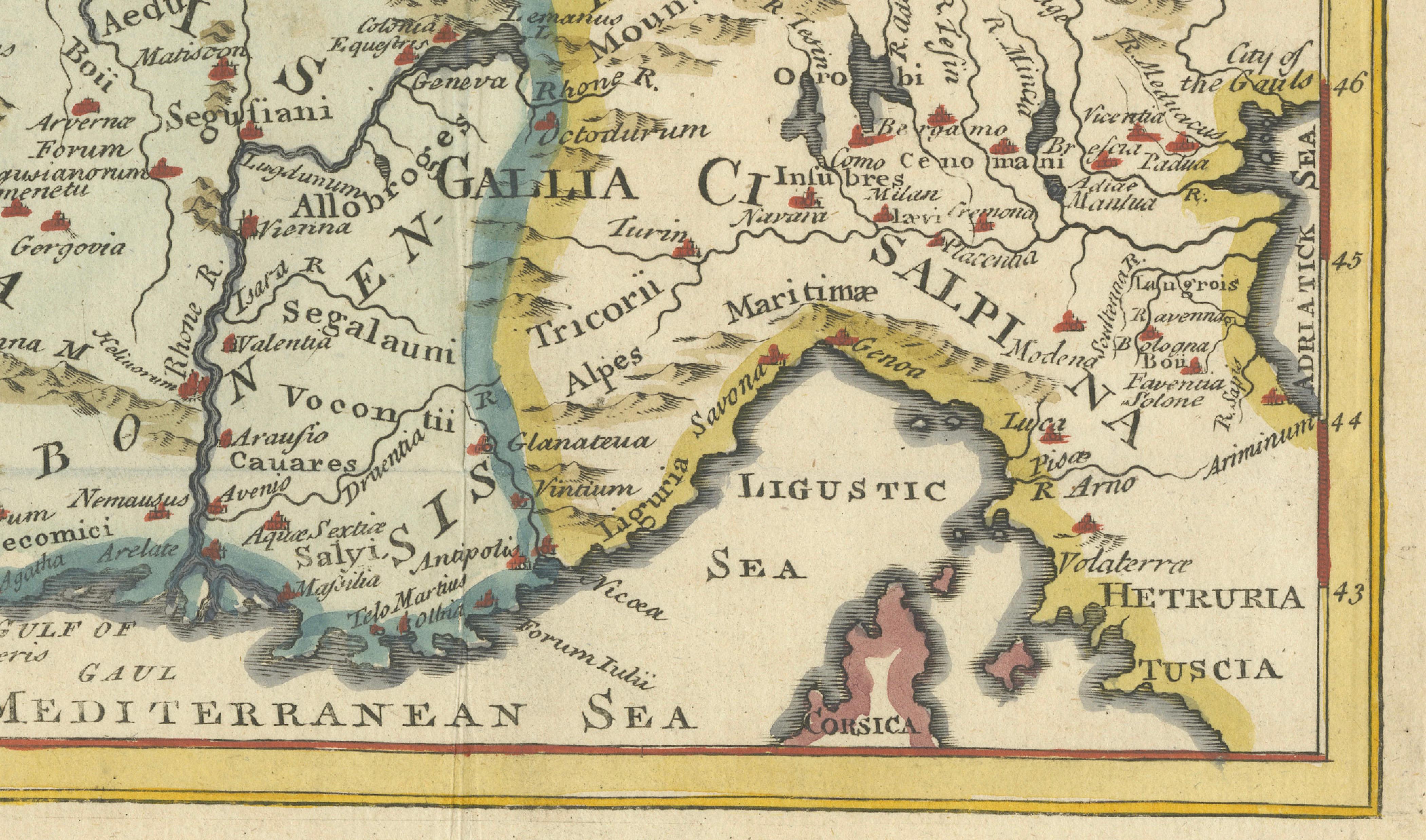
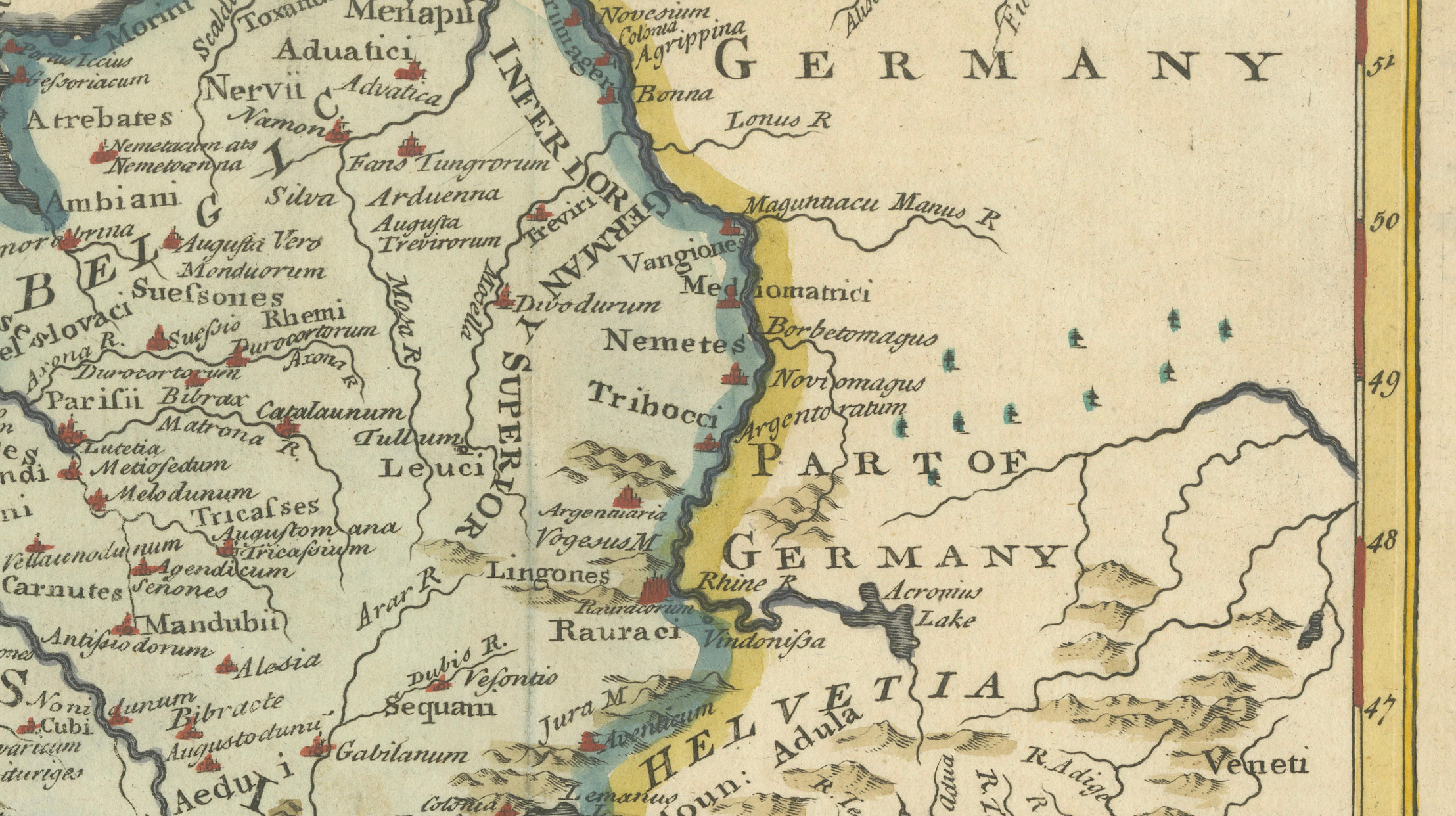
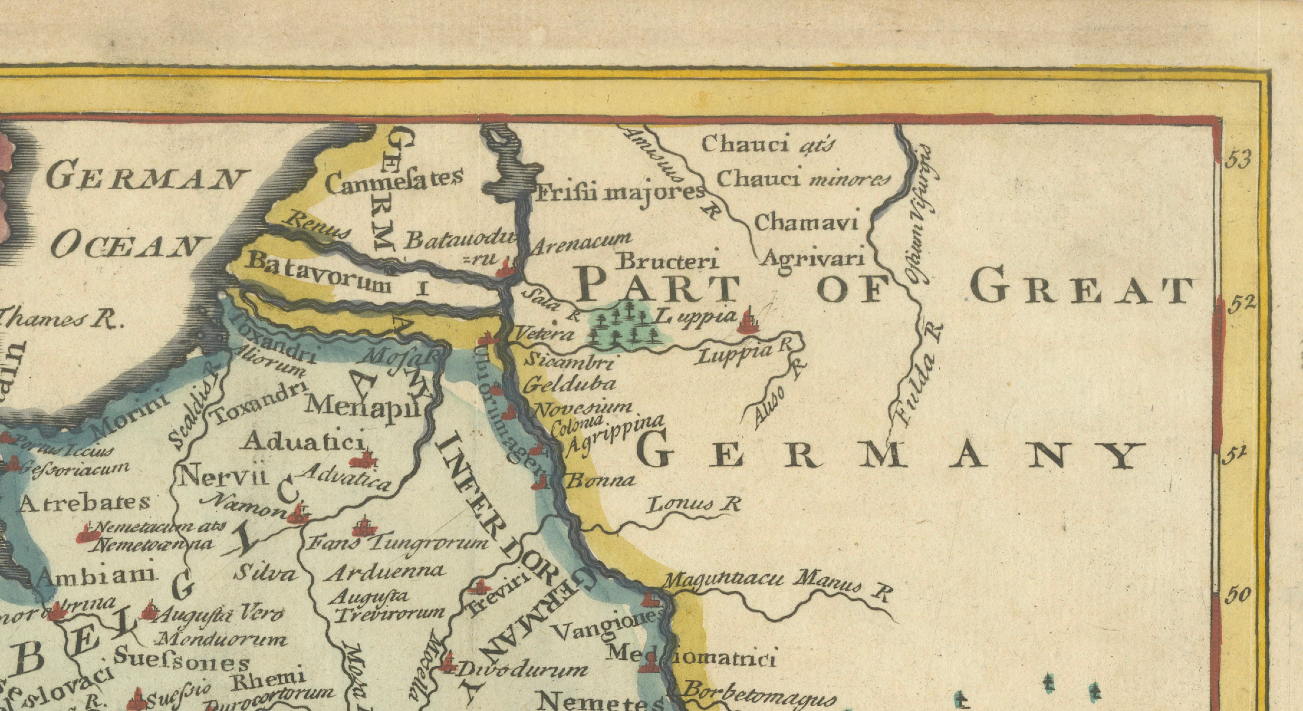
This original antique map illustrates Ancient Gaul as understood through classical and Roman geography, covering much of present-day France together with adjoining regions of Belgium, the Netherlands, western Germany, Switzerland, and northern Italy. The British Isles appear to the northwest, while the Mediterranean Sea and the Ligurian coast define the southern boundary. Rather than modern borders, the map focuses on Roman provinces, tribal territories, rivers, and natural features central to ancient historical understanding.
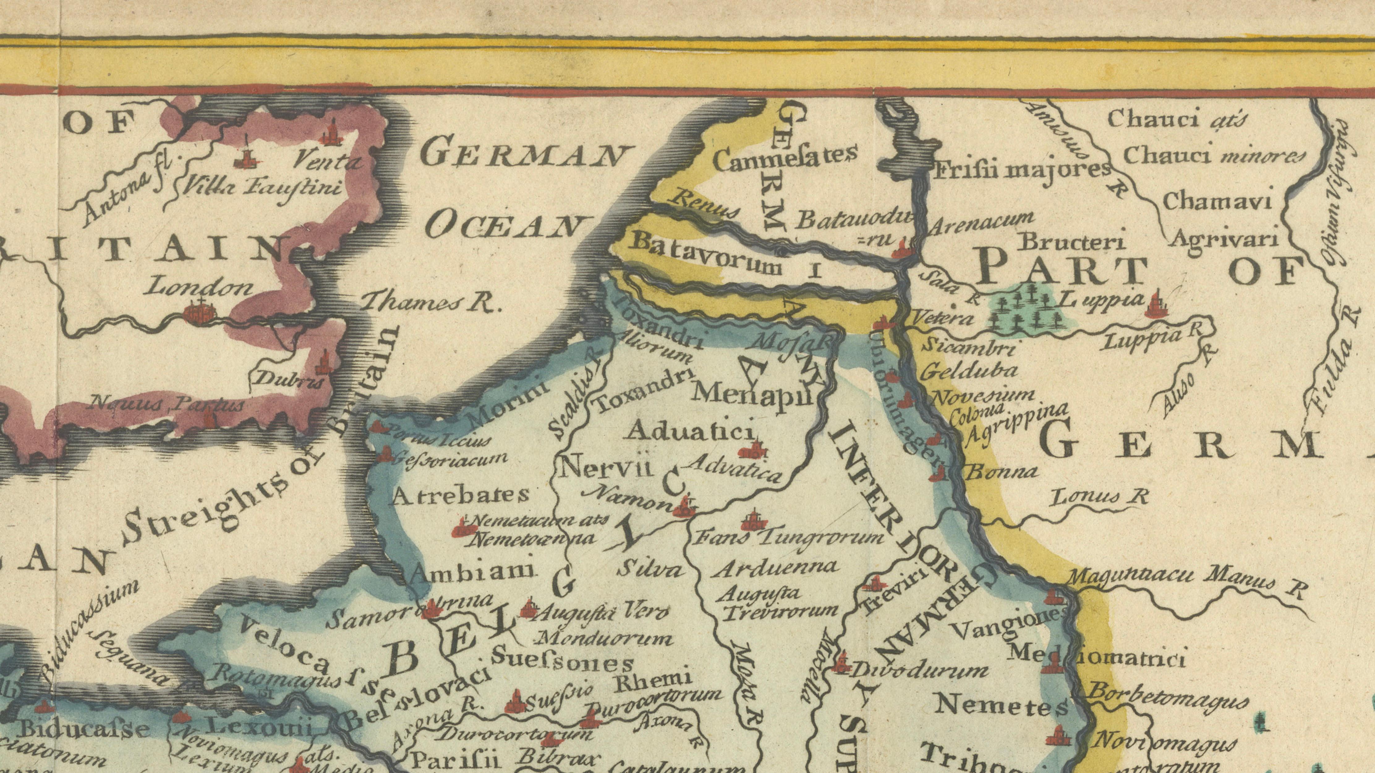
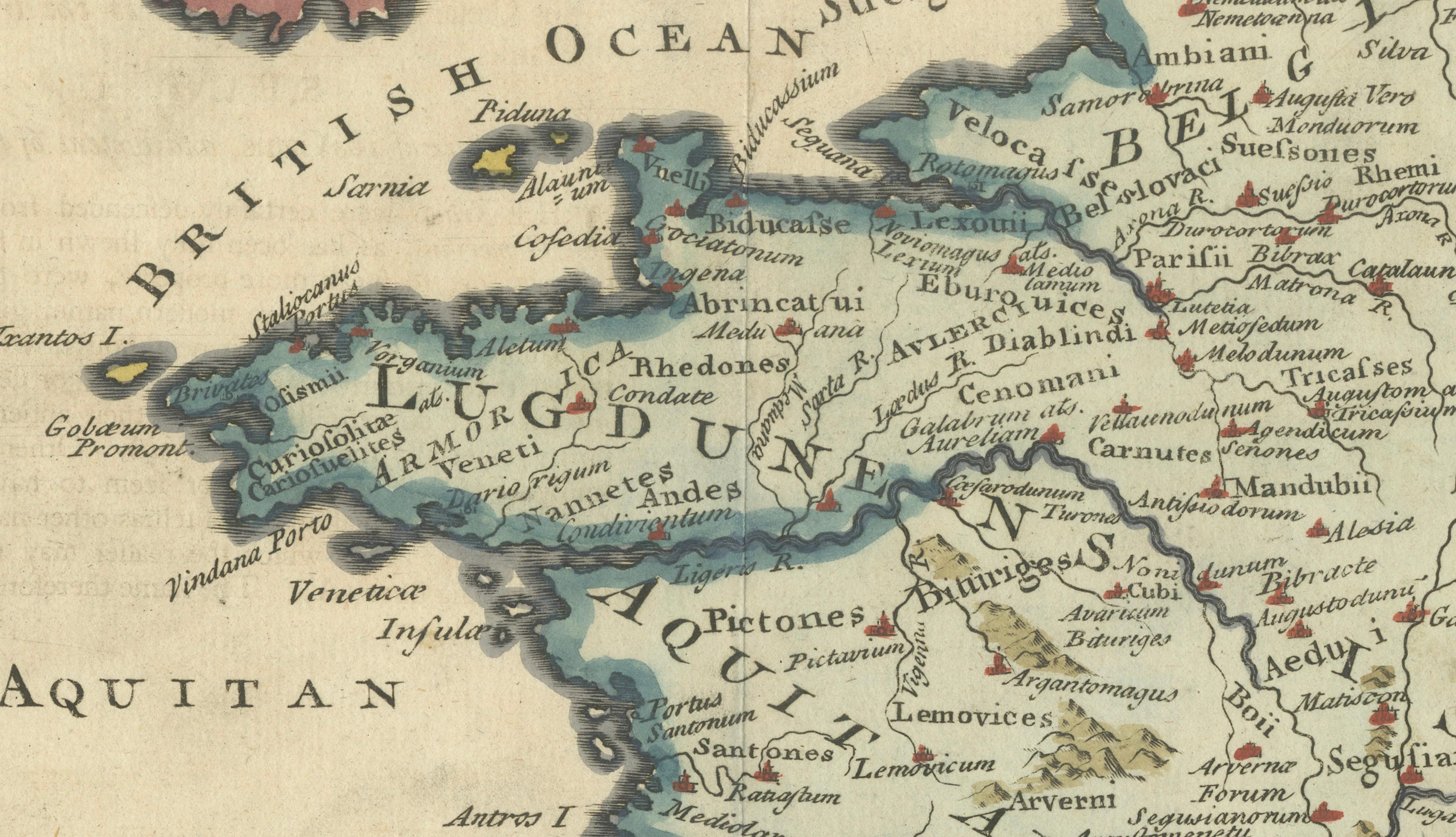
Regions such as Belgica, Aquitania, Celtica, Narbonensis, Helvetia, and Germania are clearly named, alongside numerous classical tribal groups including the Aedui, Arverni, Parisii, Sequani, and Nervii. Major rivers such as the Rhine, Seine, Loire, Rhône, and Garonne structure the landscape, while mountain ranges including the Alps and Pyrenees are rendered in pictorial relief. The coastlines are carefully engraved, emphasizing maritime connections within the Roman world.
The map is enhanced with original hand coloring, using soft greens, yellows, and pinks to distinguish regions, and blue for seas and rivers. A decorative cartouche titled “Ancient Gaul” appears in the lower left corner, adding balance and period character without overpowering the cartography. The overall presentation reflects the educational and historical purpose of mid-18th-century classical atlases.
Condition report:
Narrow margins, otherwise in good condition. Original folds as issued. Light age-related toning. Very decorative colours.
Framing tips:
Float-mount with a warm ivory or light grey mat to complement the aged paper. A natural wood or dark brown frame enhances the classical subject and restrained color palette.
Technique: Hand coloured copper engraving
Maker: Unknown
Date: circa 1748