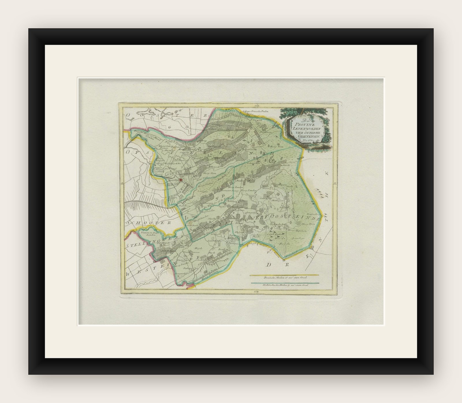
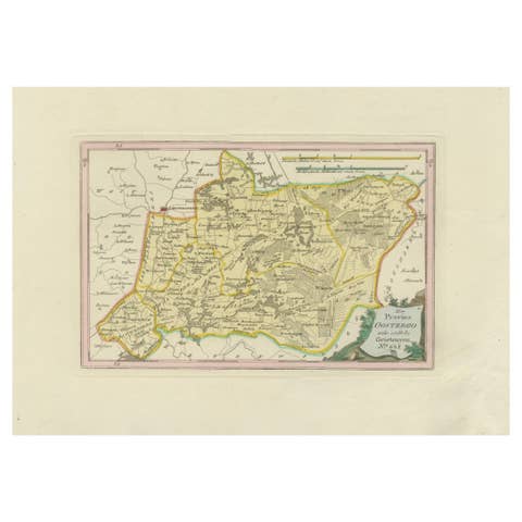
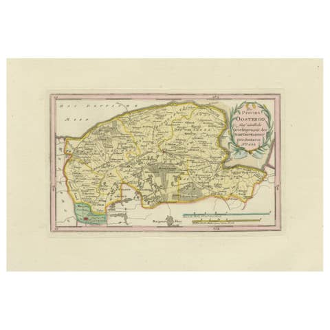
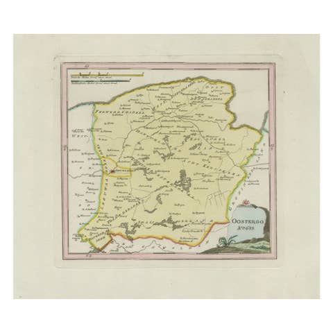
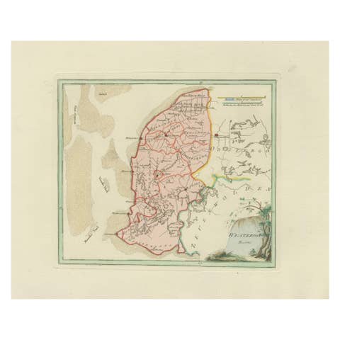
Rare Antique Hand-Colored Map of Eastern Friesland by von Reilly, 1791
€ 440
Original antique · The actual sheet photographed · Certificate of authenticity on request · Sold unframed · Worldwide shipping from € 15 (rates)
Date
1791
Mapmaker / artist
Franz Joseph Johann von Reilly, engraved by Ignaz Alberti, Vienna, 1791
Technique
Engraving with original hand color
Sheet size
33 × 52 cm (13.0 × 20.5 in)
Condition
Good
Reference
BG-13229-21
What the condition grades mean
Excellent
Bright and clean, with no faults worth mentioning.
Very good
Only light signs of age, such as faint toning.
Good
Normal signs of age for a sheet of this period: toning, some foxing, small marks or neat old repairs.
Fair
Clear faults such as staining, tears or repairs, priced to match.
Every fault we see is written in the condition note, and the whole sheet is shown uncropped in the photos.
Condition
Condition report: Good condition with general age-related toning. A small water stain is visible along the right margin, far outside the engraved area. Original hand coloring intact. Blank verso.
About this sheet
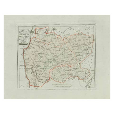
Antique Map of Eastern Friesland by von Reilly, 1791
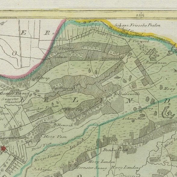
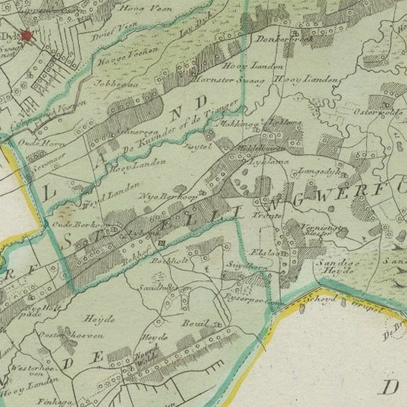
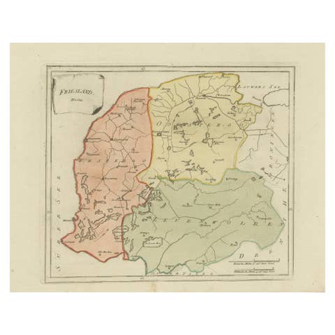
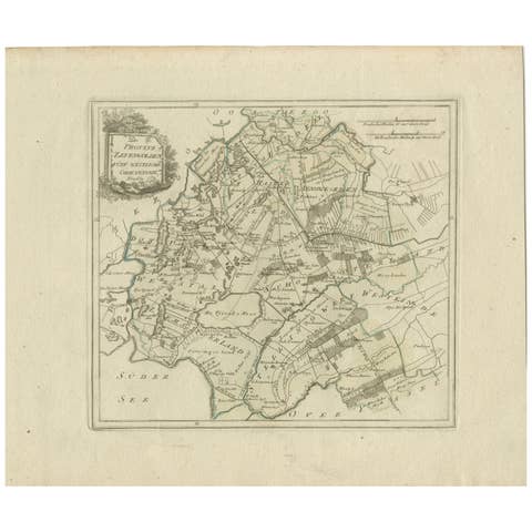
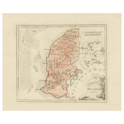
Original engraved map titled Der Provinz Vriesenland vier östliche Grietenyen, published in Vienna in 1791. This detailed sheet depicts the eastern districts (grietenijen) of Friesland, bordering the provinces of Drenthe and Overijssel. The map is finely engraved, with boundaries highlighted in original hand color and the mapped area filled with a light green wash.
This map was published in Franz Joseph Johann von Reilly’s ambitious atlas Schauplatz der fünf Theile der Welt (“Showplace of the Five Parts of the World”), one of the most significant Austrian cartographic projects of the late 18th century. Von Reilly (1766–1820), a Viennese publisher and dealer in prints, sought to compile an atlas that combined accuracy with decorative appeal. The engraving work was carried out by Ignaz Alberti (1760–1794), whose crisp linework and clarity gave von Reilly’s maps their distinctive quality.
The map provides a historical record of the eastern Frisian landscape at the close of the 18th century. Numerous towns and villages are shown, along with waterways, dikes, and fields, offering a snapshot of the agricultural and administrative divisions of the time. The title cartouche, placed at upper right, is framed by foliage in the neoclassical style typical of von Reilly’s atlas.
This is a highly collectible piece for those interested in Friesland, Dutch provincial cartography, or Austrian mapmaking. Its combination of geographical precision and decorative character ensures it remains both historically significant and visually appealing.
Condition report: Good condition overall with light age toning. Some minor water staining visible in the right margin, outside the printed area. Original hand coloring preserved. Blank verso.
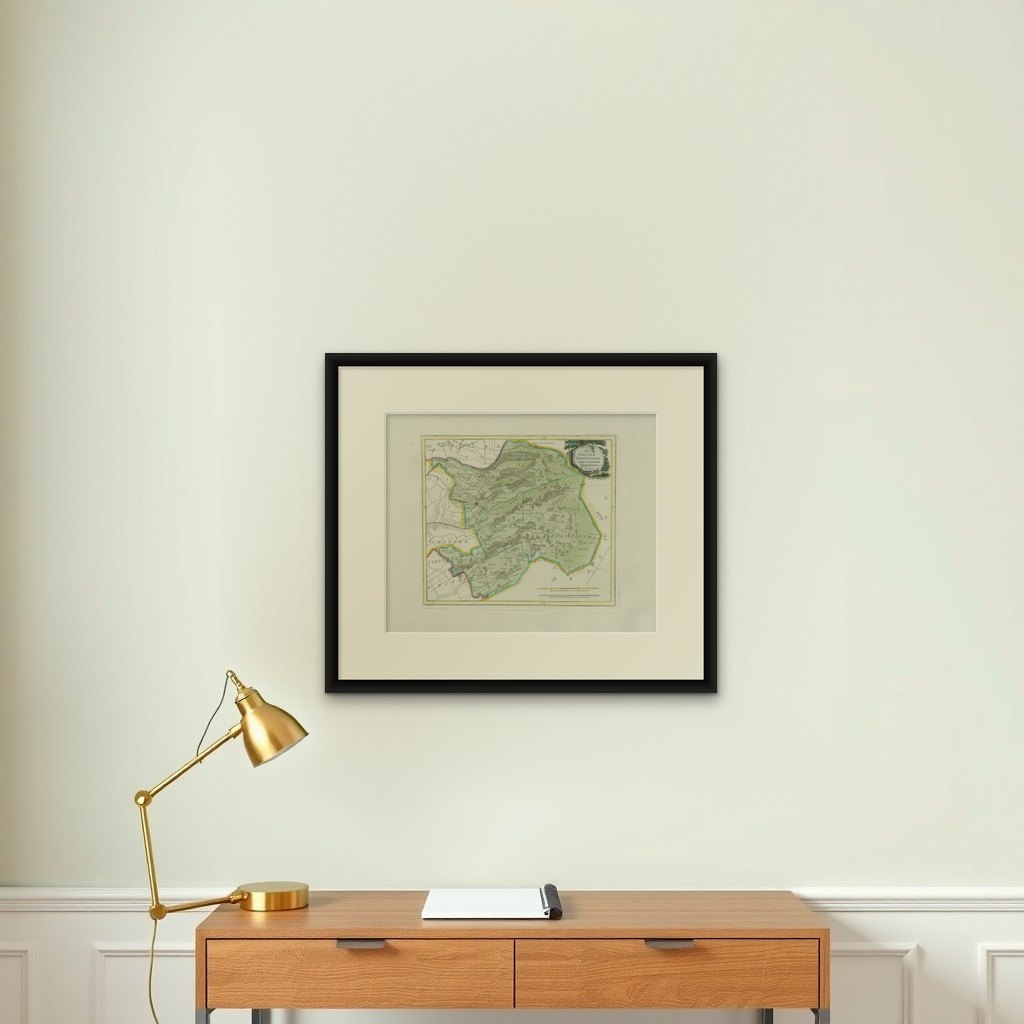
Framing tips: A dark wooden or ebonized frame with a cream mount will highlight the engraved detail and hand coloring. A double mat with a fine green inner line can be added to echo the map’s wash and enhance its visual depth.