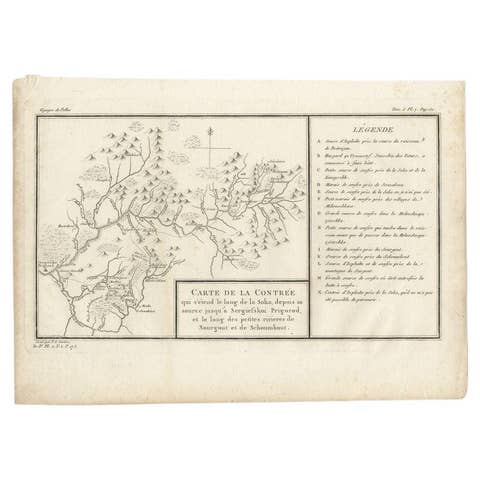
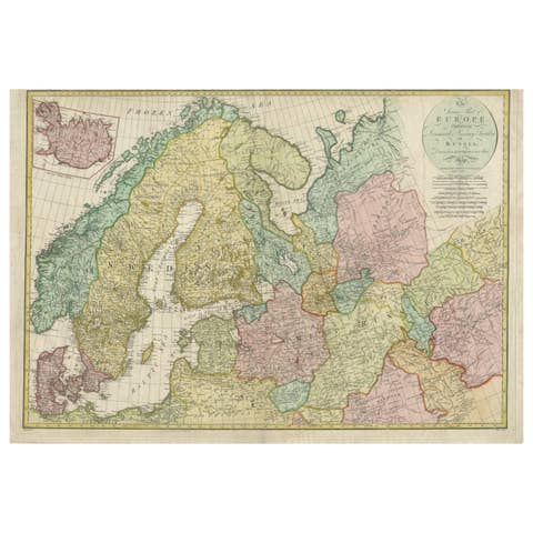
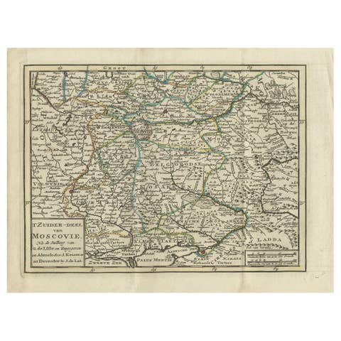
1792 Hand-Colored Plan of St. Petersburg and Moscow in Russia
€ 390
One of a kind: this is the sheet in the photographs. Ships from Langweer, the Netherlands.
Date
1792
Sheet size
27 × 19 cm (10.6 × 7.5 in)
Condition
Good
Reference
BG-13202-14
Condition
Condition report: The map is in good condition for its age. The paper is strong and stable with vibrant hand-coloring. Minor toning and very light foxing are present in the margins but do not detract from the overall quality.
About this sheet
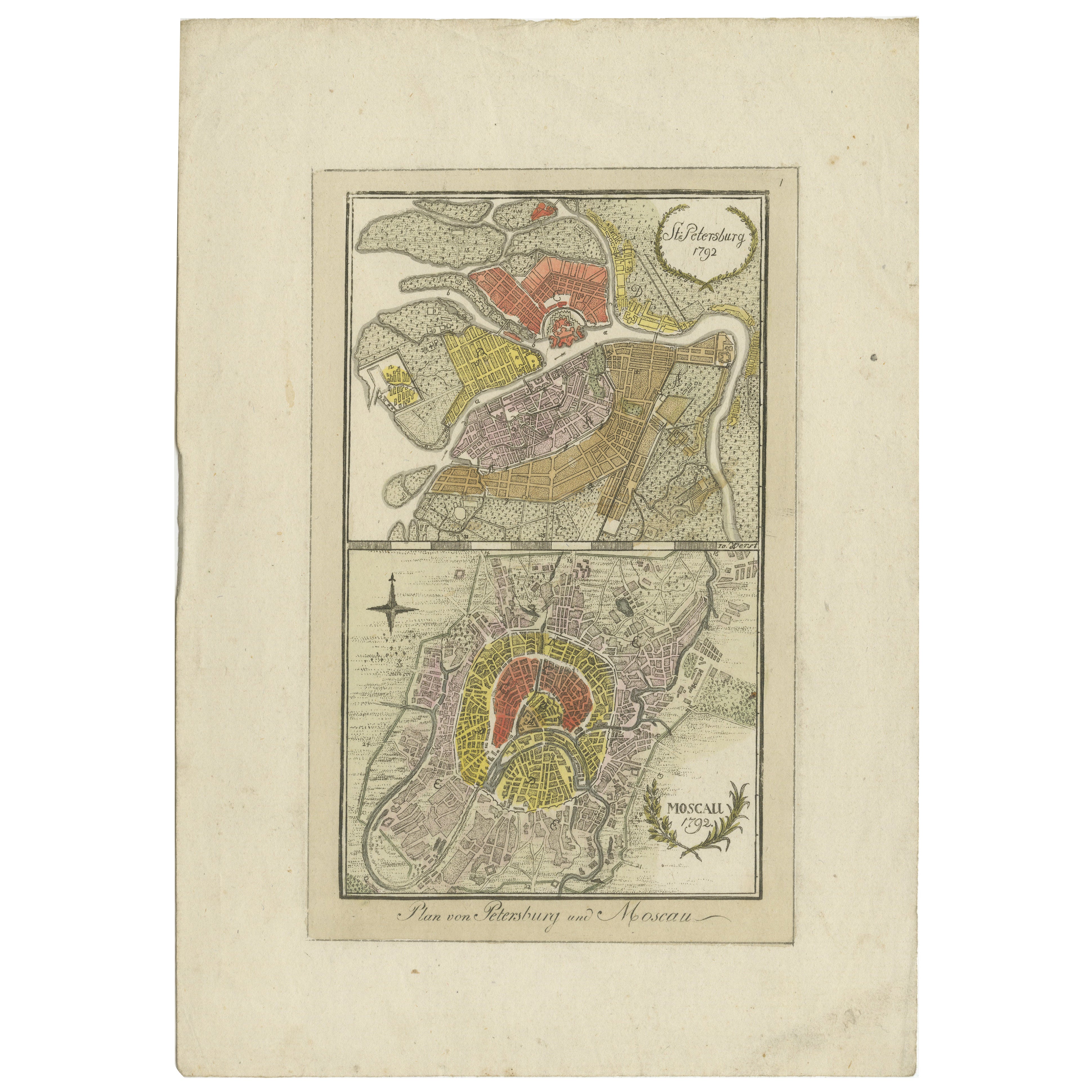
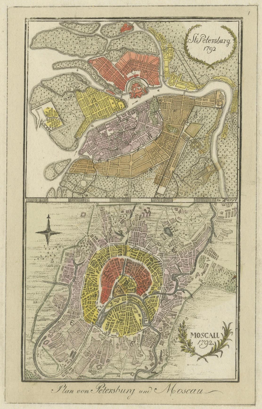
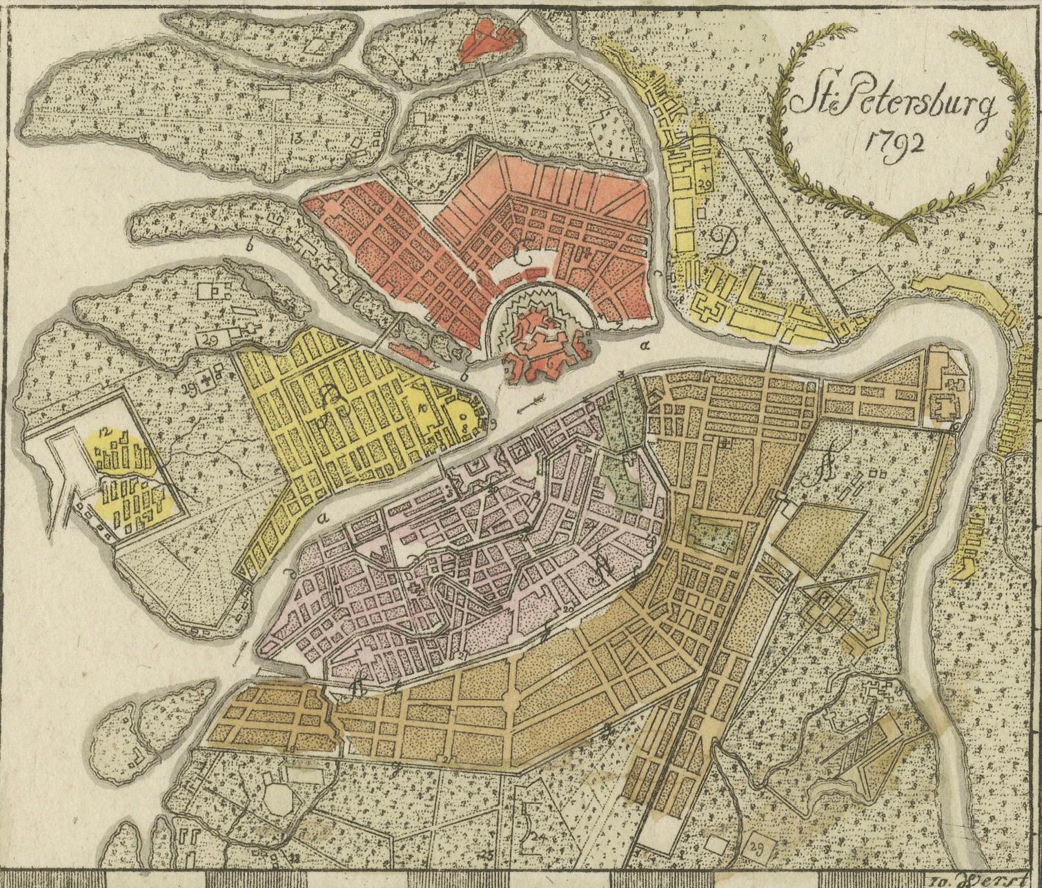
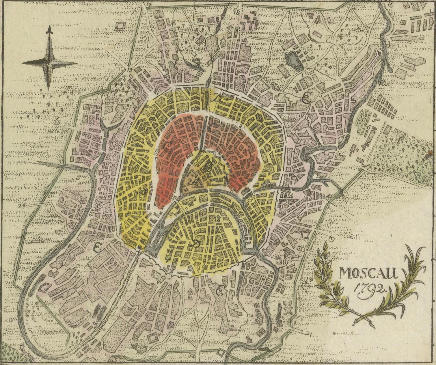
This rare 1792 map features detailed plans of two iconic Russian cities, St. Petersburg and Moscow. The upper map highlights St. Petersburg’s elegant baroque layout with its canals and fortifications, while the lower map showcases Moscow’s historic core, including the Kremlin and surrounding districts. Each city plan is hand-colored to delineate different zones, streets, and notable landmarks.
The maps provide a fascinating snapshot of urban development in imperial Russia, reflecting the architectural and cultural contrasts between the westernized capital, St. Petersburg, and the older, fortified city of Moscow.
Condition report: The map is in good condition for its age. The paper is strong and stable with vibrant hand-coloring. Minor toning and very light foxing are present in the margins but do not detract from the overall quality.
Framing tip: Use archival materials with UV-protective glass to preserve the hand-coloring and paper integrity. A neutral mat with a gilded or dark wooden frame will complement the map’s historic aesthetic, making it a stunning addition to any collection or display.