About this sheet
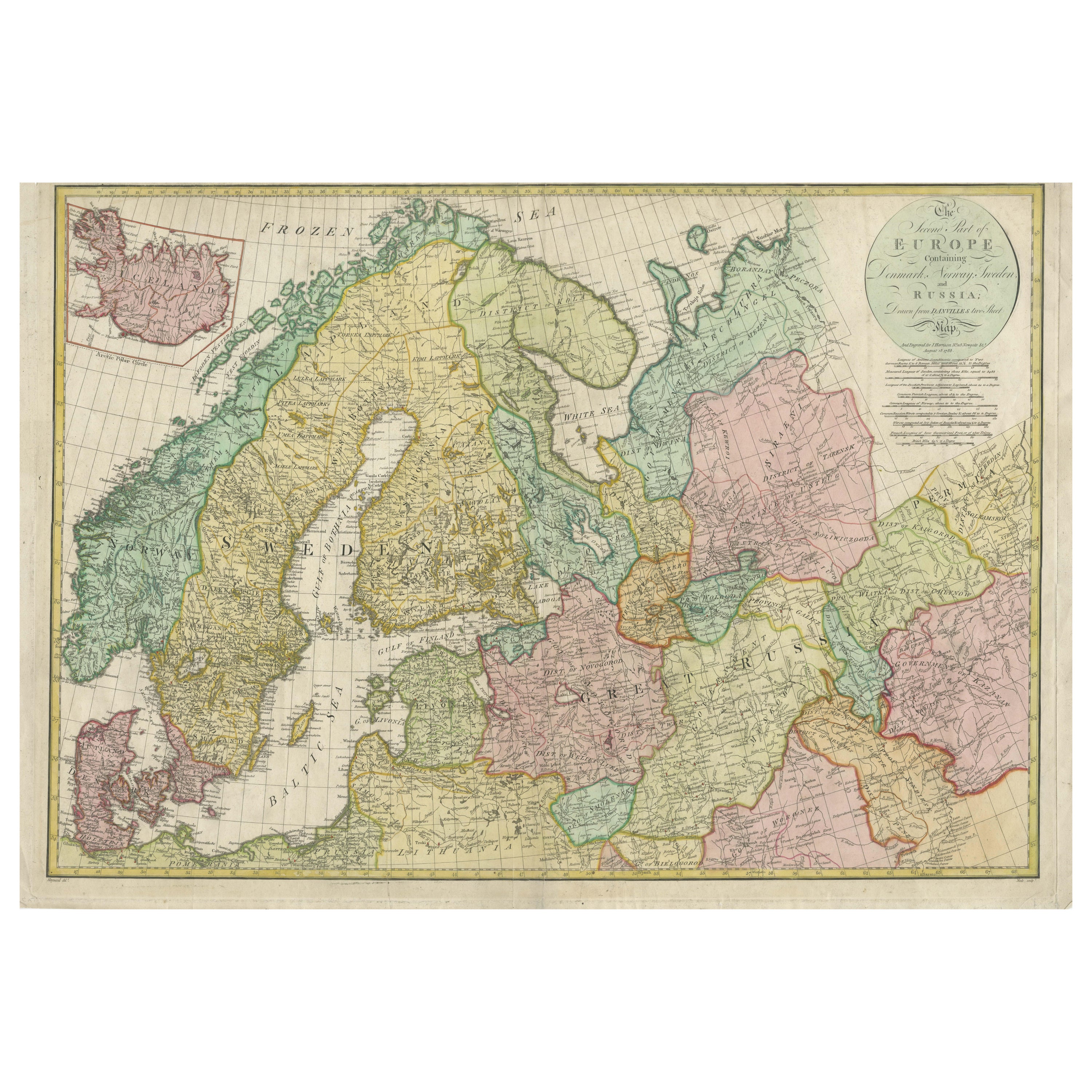
Historical Map of Northern Europe and Russia - Engraved for I. Harrison, 1788
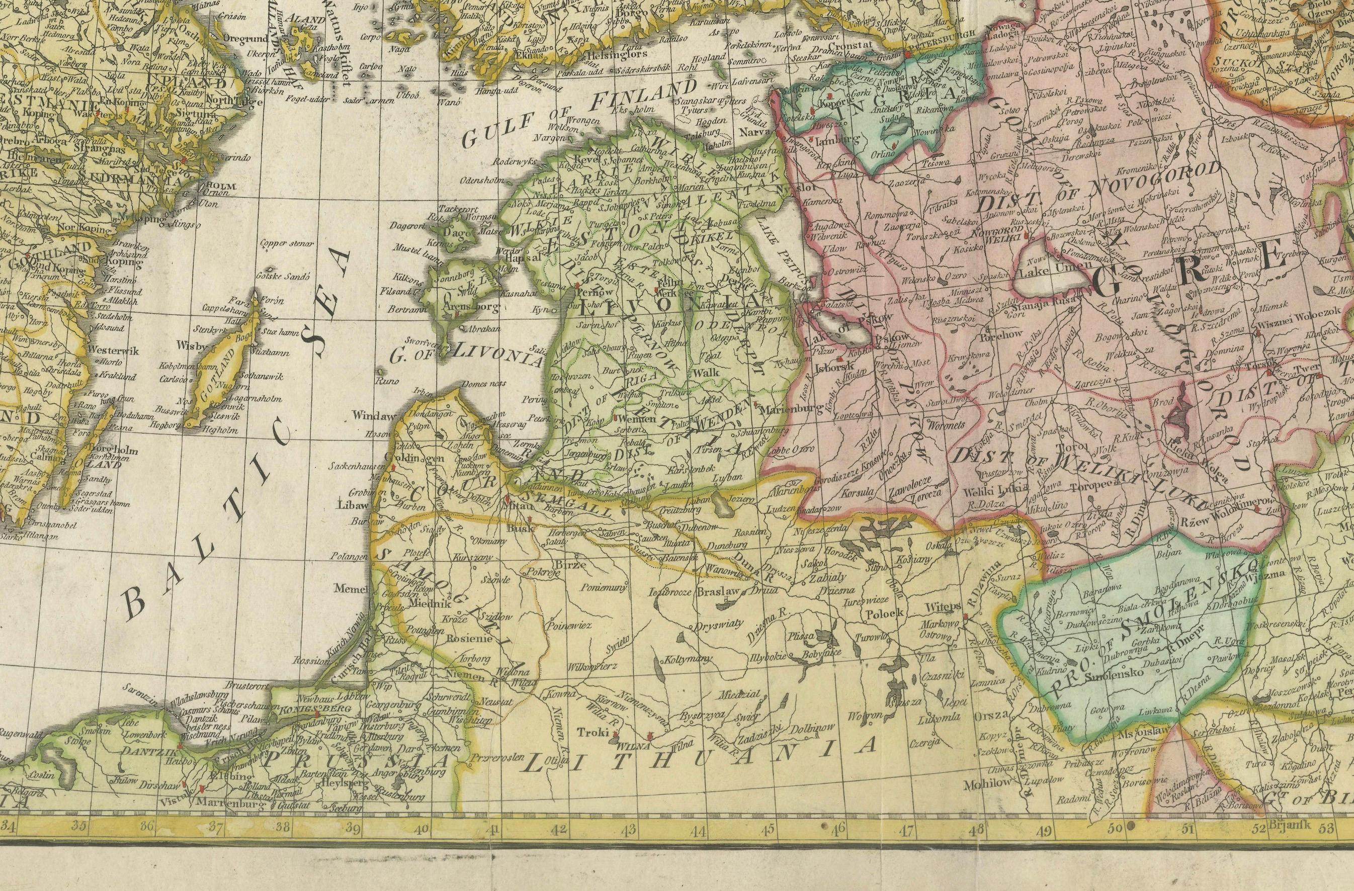
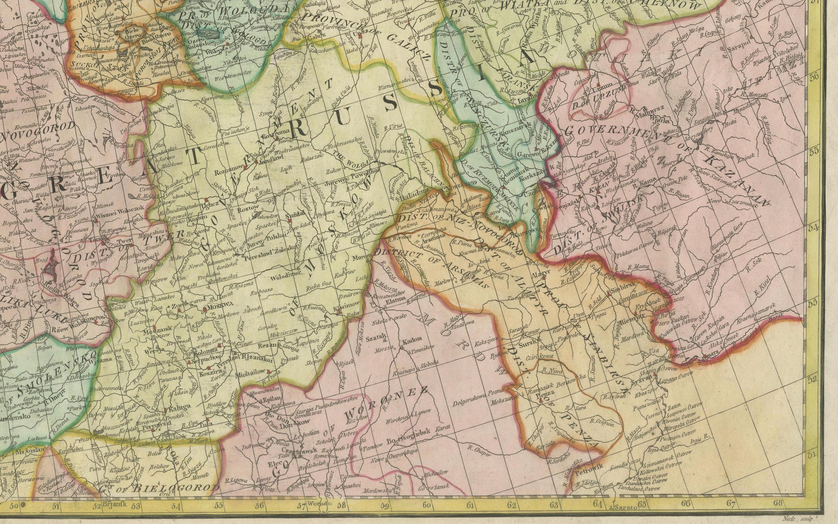

This impressive historical map titled A New Map of Europe Containing Denmark, Norway, Sweden and Russia was engraved for I. Harrison in 1788, drawn from Danville’s two-sheet map. The map is based on the work of Jean Baptiste Bourguignon d'Anville, one of the most prominent French cartographers of the 18th century, known for his meticulous and accurate approach to mapmaking.
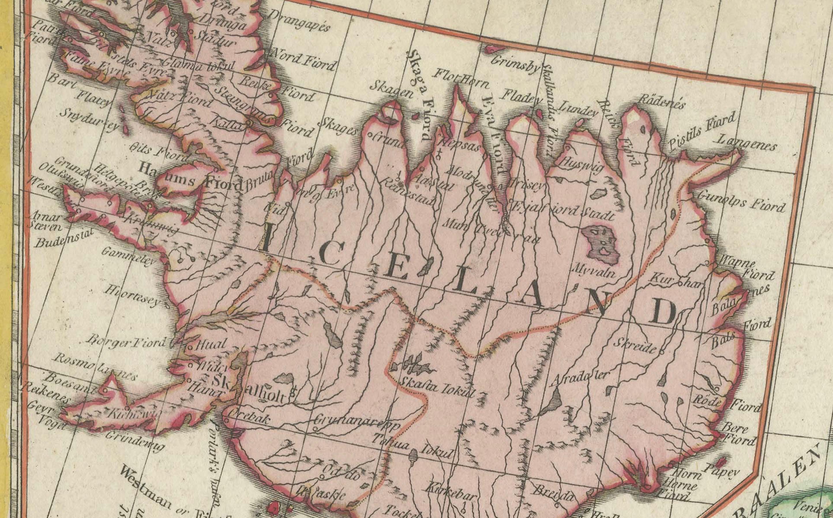
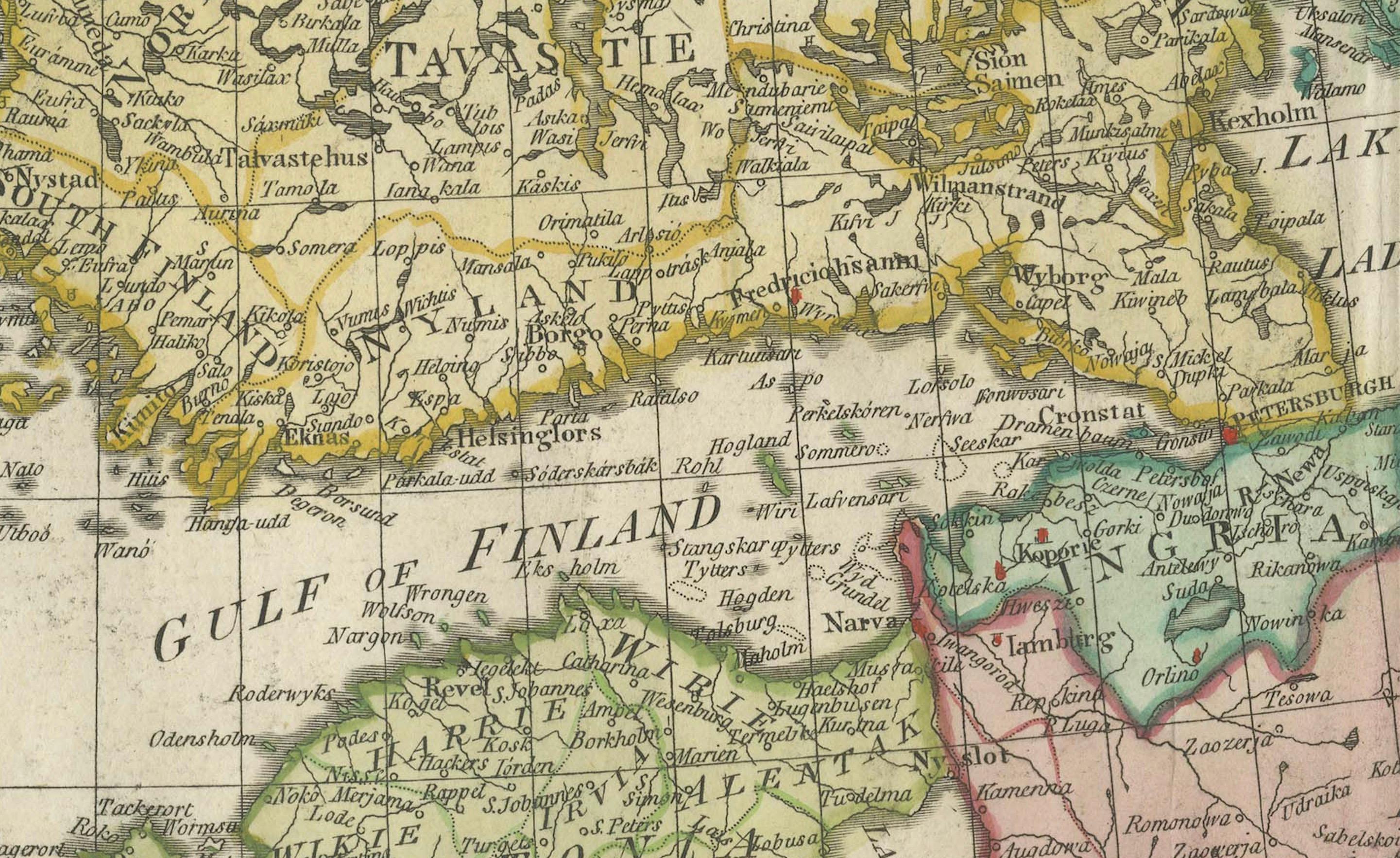
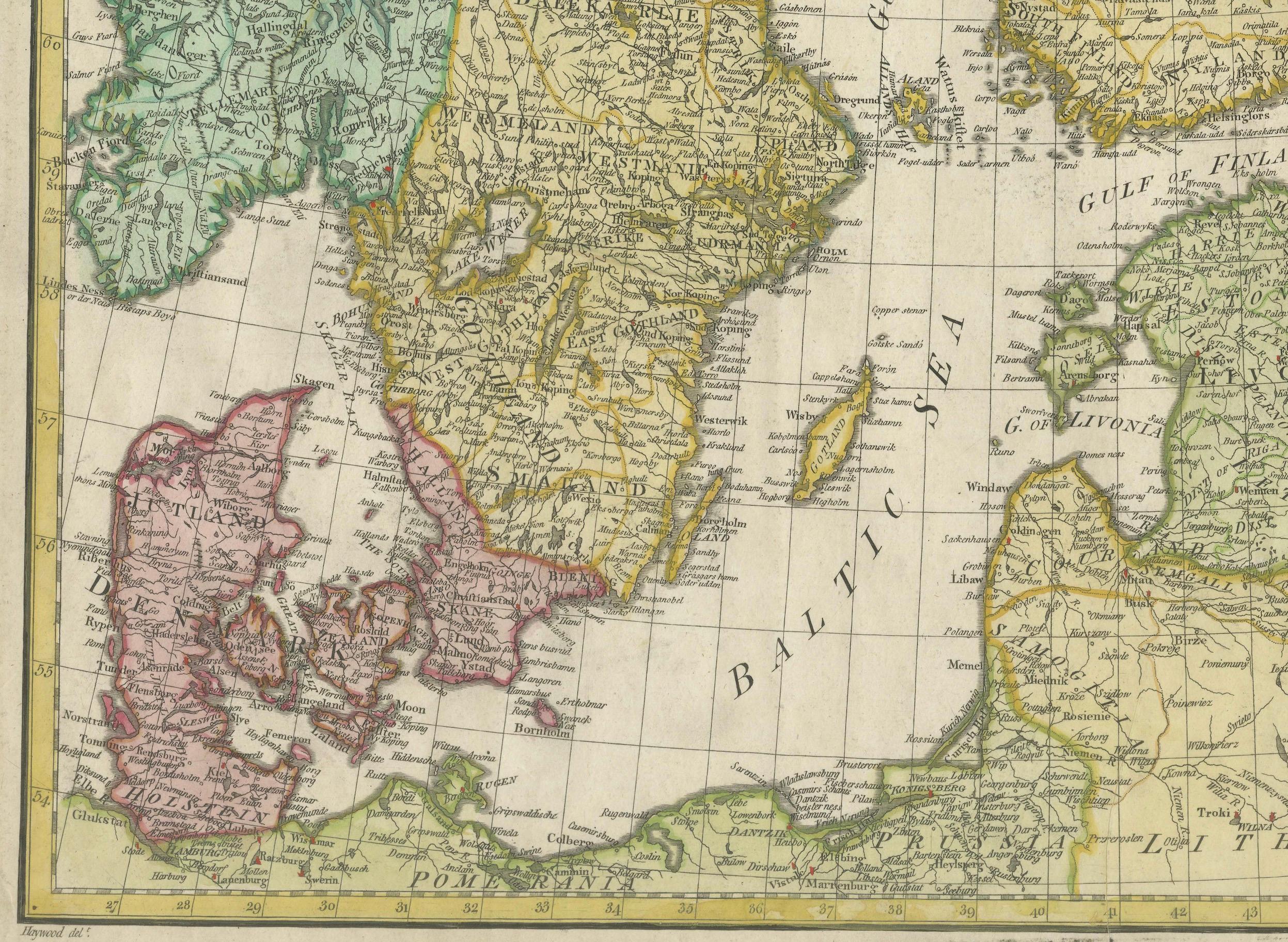
The map covers the vast territories of Northern Europe, including Denmark, Norway, Sweden, and Russia, as well as parts of Finland and the Baltic regions. An inset map in the upper left corner provides a detailed view of Iceland, carefully depicting its rugged coastline and geographical features. The map provides a comprehensive and detailed view of the political and administrative divisions of the time, illustrating a region that was both strategically significant and geographically diverse.
The map’s engraving style is characterized by clean, precise lines and well-organized labeling, typical of high-quality cartography of the late 18th century. Rivers, mountains, lakes, and major cities are meticulously depicted, and the old hand coloring enhances the distinction between national and regional boundaries, using shades of green, pink, yellow, and blue. This subtle coloring technique creates an elegant and informative visual presentation.
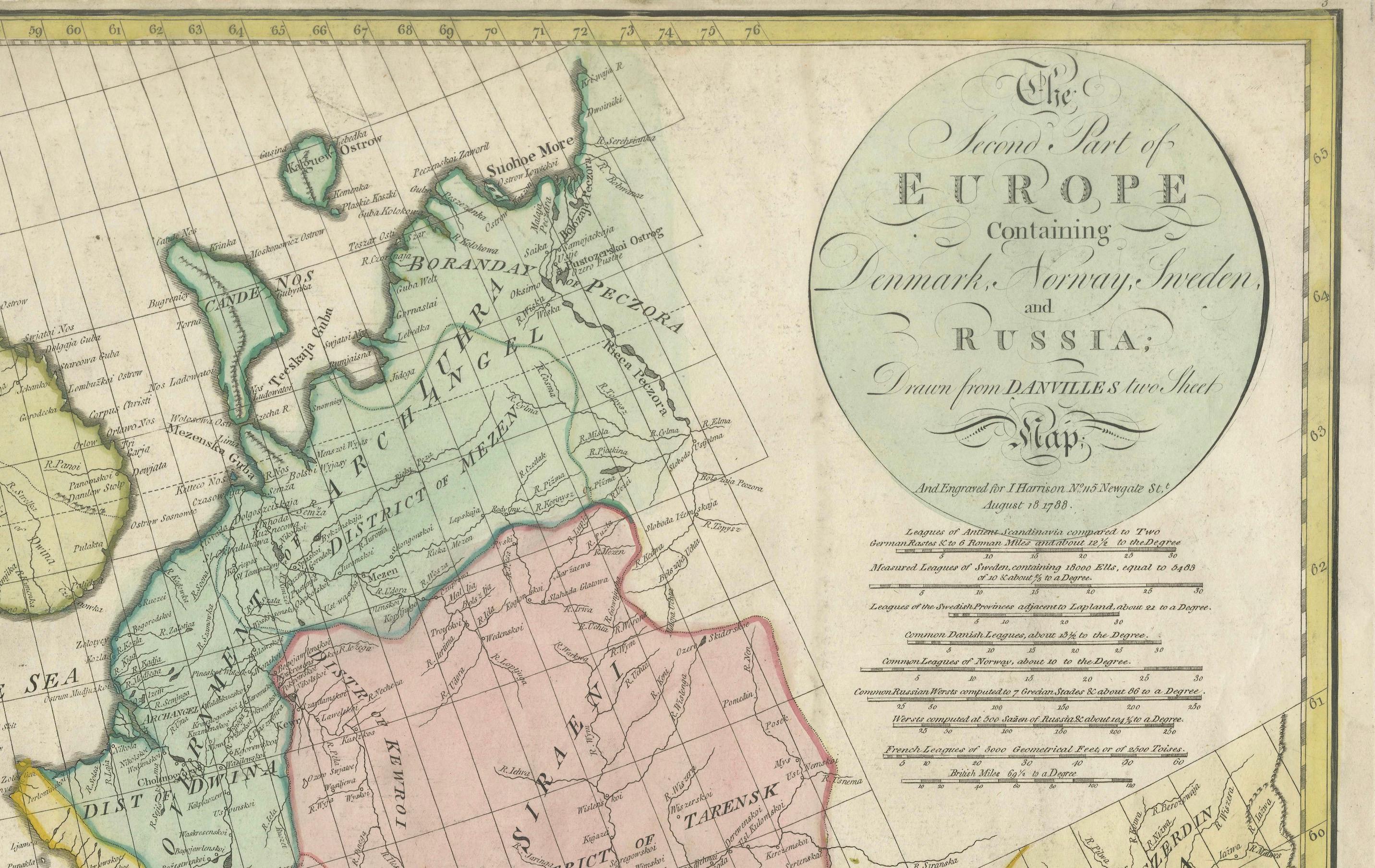
One of the most distinctive elements of the map is the title cartouche located at the upper right. The inscription reads:
A New Map of Europe
Containing Denmark, Norway, Sweden and Russia
Drawn from Danville’s two-sheet map
Engraved for I. Harrison
1788
This inscription acknowledges the map’s foundation on d'Anville’s cartographic work, highlighting the enduring influence of d'Anville’s precise geographical data. The map serves as a detailed representation of the northern European region at the end of the 18th century, reflecting the scientific and cartographic advancements of the Enlightenment period.
The map was created using copperplate engraving, a technique where the design was etched into a copper plate, inked, and pressed onto paper. The resulting prints were then meticulously hand-colored to enhance the visual distinction between political boundaries and geographical features.
Condition: The map is in good condition, with vibrant hand coloring and minimal signs of aging. Some light folds and minor toning are present, but these are typical for maps of this age and do not detract from its overall presentation. The paper is strong, and the engraving remains crisp and sharp.
Framing Tips: To highlight the historical charm of this map, choose a dark wooden frame with a gold or brass fillet to enhance the classic appeal. A light cream or beige mat will beautifully complement the map’s colors. Use UV-protective, non-reflective glass to preserve the map's vibrancy and protect against fading. Archival-quality materials are essential to maintain the map’s integrity and value over time.