About this sheet
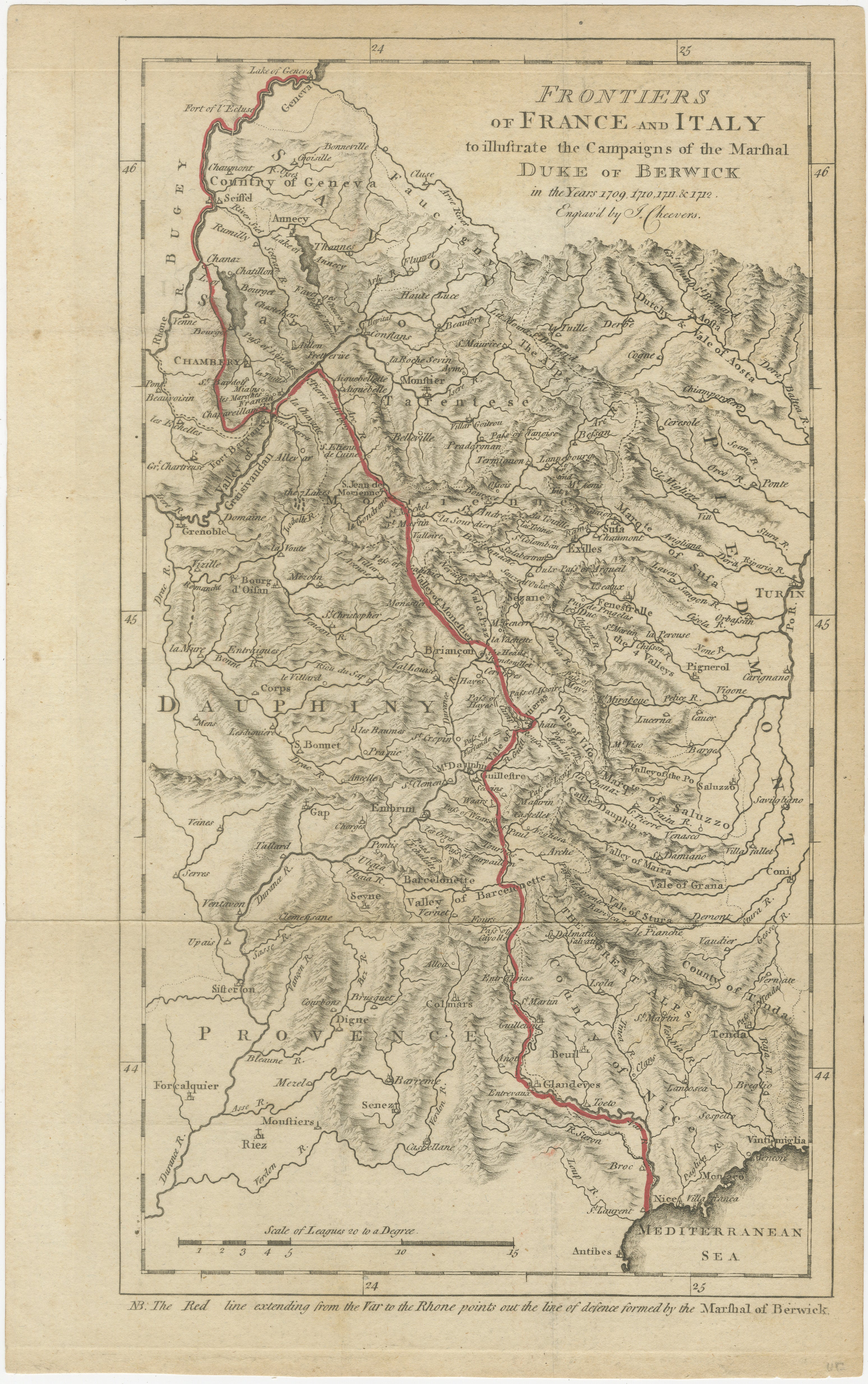
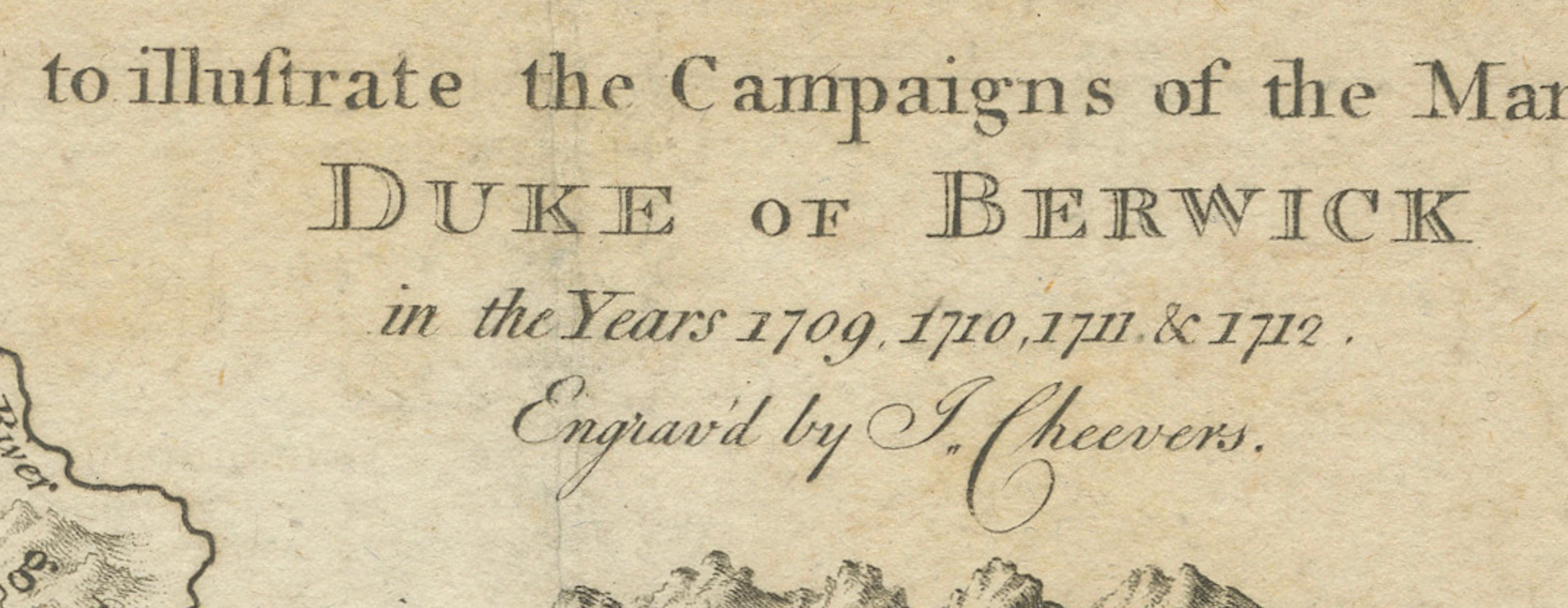
This original antique map depicts the frontiers of France and Italy and was specifically produced to illustrate the military campaigns of the Marshal Duke of Berwick during the years 1707, 1708, 1711, and 1712, as clearly stated in the engraved title. The map documents events from the War of the Spanish Succession and serves as a contemporary visual record of early 18th-century European warfare.
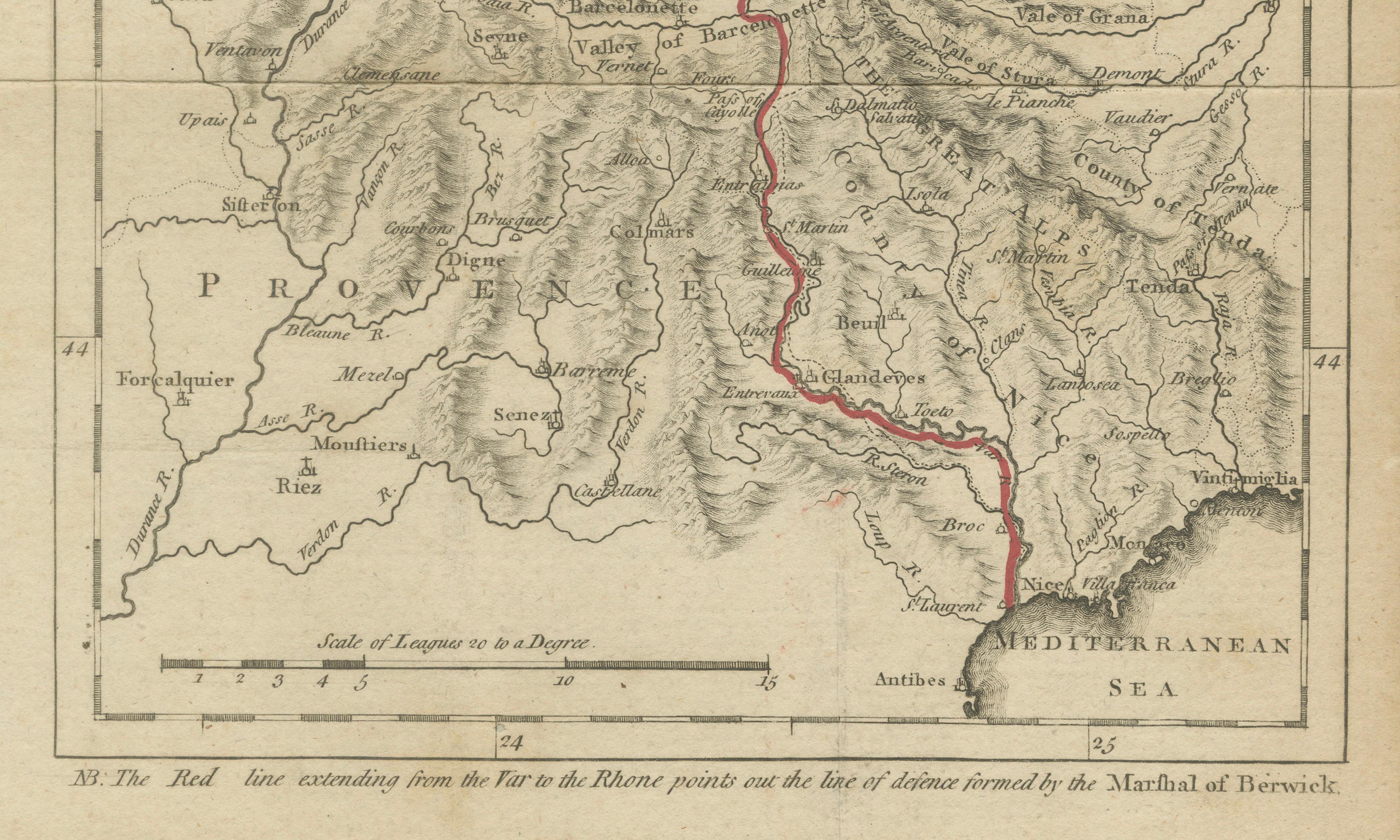
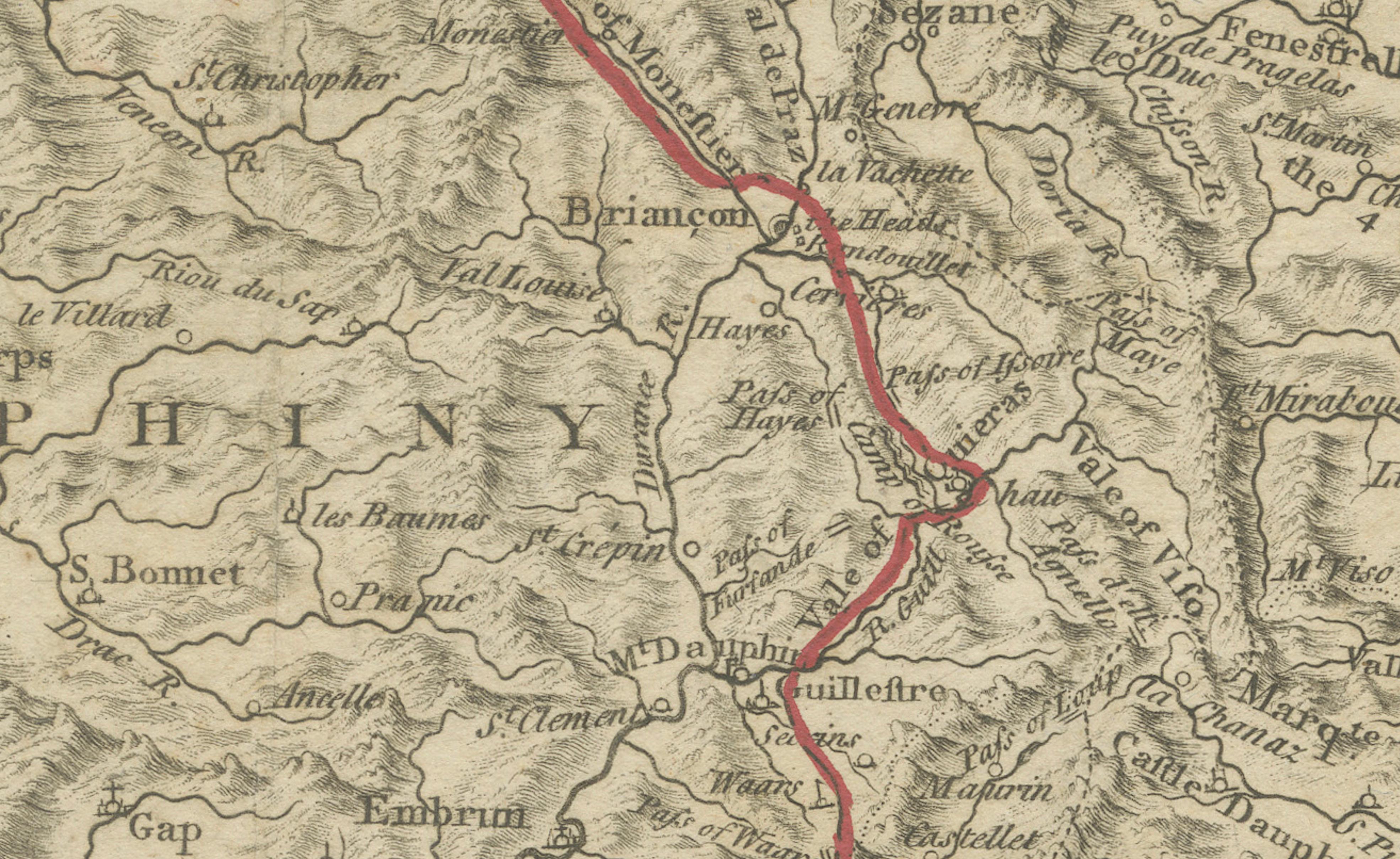
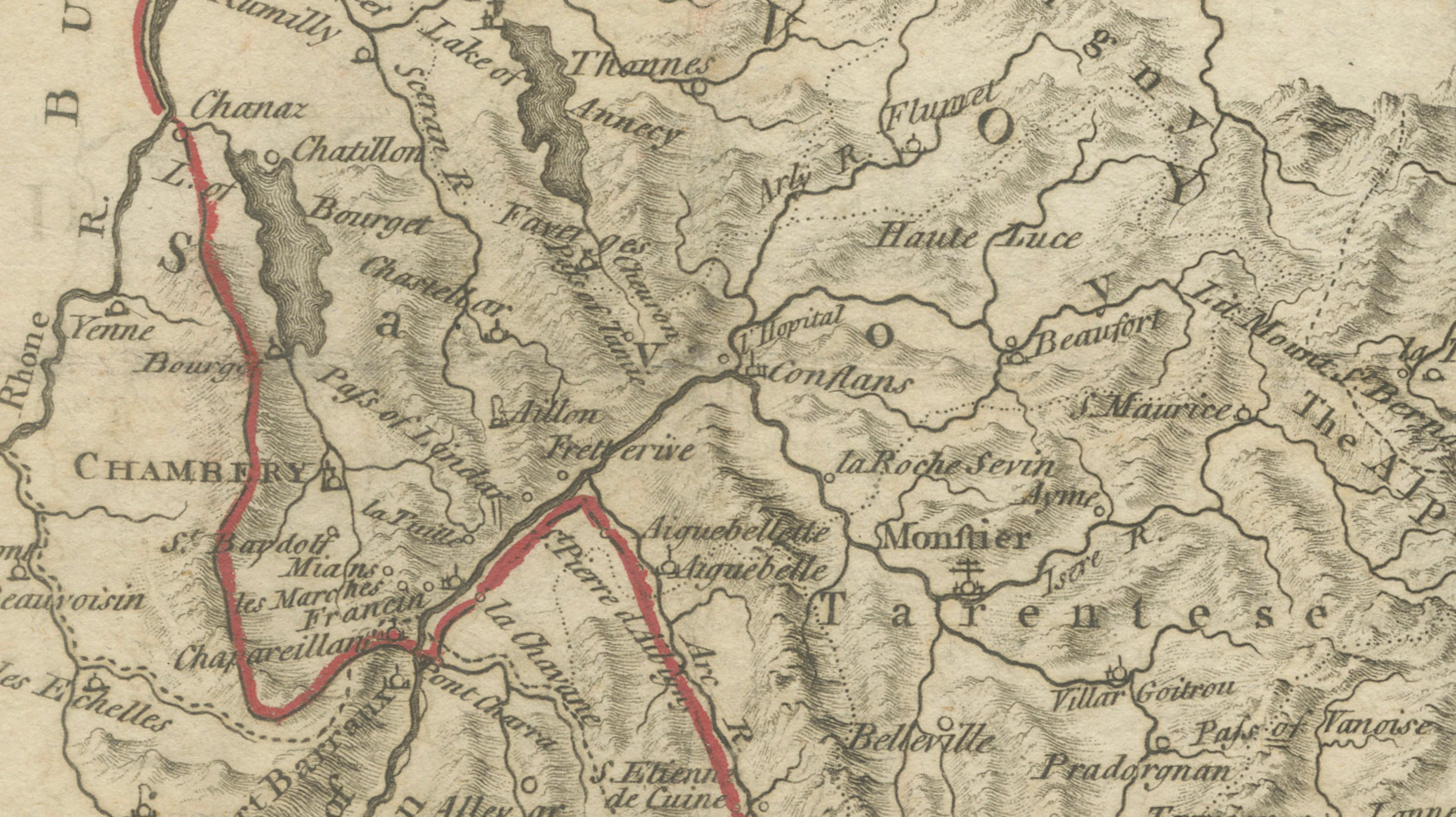
The geographical focus is southeastern France and northwestern Italy, extending from the Mediterranean coast near Nice northward through Provence, Dauphiné, Savoy, Piedmont, and the Alpine regions toward Geneva. Towns, rivers, valleys, and mountain ranges are carefully engraved, with the Alps shown in pronounced relief to emphasize the strategic importance and difficulty of the terrain. Key routes, passes, and settlements are clearly labeled, reflecting the map’s analytical and military purpose rather than decorative intent.
A distinctive red line runs vertically through the composition. As explained in the engraved note at the bottom of the map, this line marks the “line of defense formed by the Marshal of Berwick,” extending from the River Var to the Rhône. This feature transforms the map from a purely geographic document into a historical military diagram, offering insight into defensive strategy and territorial control during the campaigns.
The map was engraved by I. Cheevers, whose name appears in the engraved text. Although little biographical information about Cheevers survives, he is understood to have been an 18th-century engraver working on a professional or journeyman level, producing plates for specific publications rather than large commercial atlases. His precise and legible engraving style suits the documentary and instructional nature of this map.
This is a compelling piece for collectors of military cartography, War of the Spanish Succession material, Franco-Italian regional maps, or early 18th-century historical prints.
Condition report:
Original folds as issued. Light overall toning consistent with age. Minor edge wear and small handling marks. The red defensive line remains clear and well defined.
Framing tips:
Float-mount with a soft ivory or light gray mat to emphasize the fine line engraving. A simple dark wood or black frame complements the map’s sober military character.