Maps & PrintsBartele Gallery · Langweer
Home / Antique Maps / Europe / Europe as a Whole

Europe as a Whole · 18th century

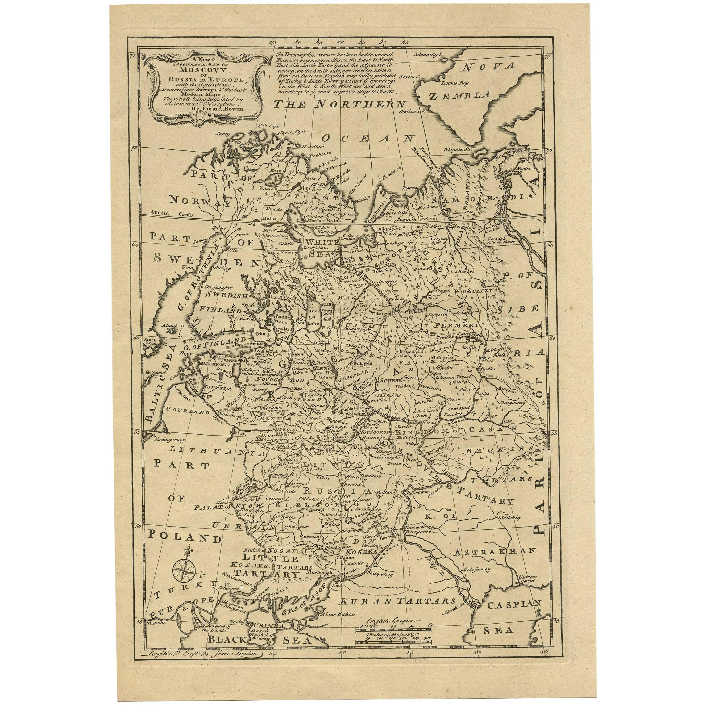
Antique Map of Moscovy 'Russia' by E. Bowen, 1747

€ 320

One of a kind: this is the sheet in the photographs. Ships from Langweer, the Netherlands.

Date
1747
Sheet size
35.8 × 24.7 cm (14.1 × 9.7 in)
Condition
Good
Reference
BG-02755

Condition

Small worm hole near compass rose. Please study image carefully.
About this sheet

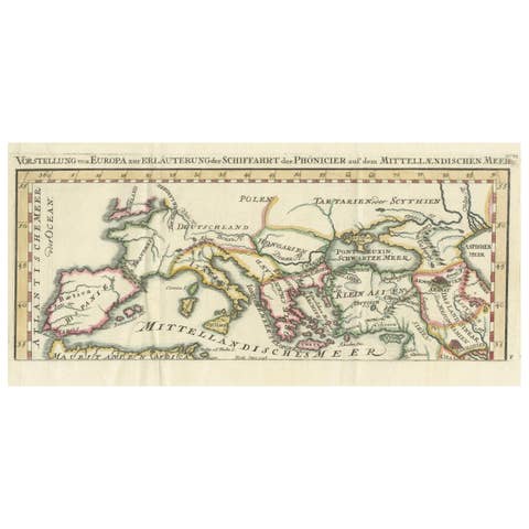
Beautiful map of European Russia by the English cartographer Emmanuel Bowen. It depicts the European portion of Russia extending from the Gulf of Finland to the Ural Mountains. The map offers excellent detail throughout showing mountains, rivers, roads, lakes, cities and other topographical features. This map originates from 'A Complete System of Geography'.

More from Europe as a Whole

Ask about this sheet

Antique Map of Moscovy 'Russia' by E. Bowen, 1747
1747 · Ref. BG-02755 · € 320
We reply by email, usually within one working day.