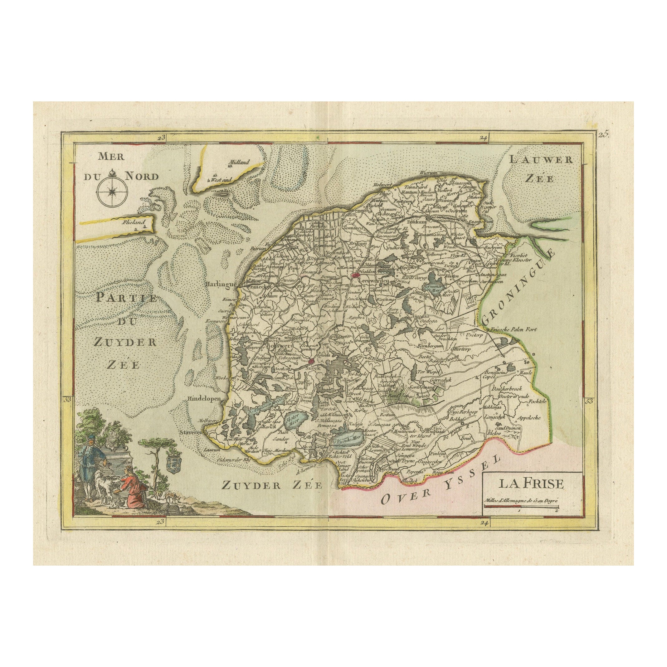
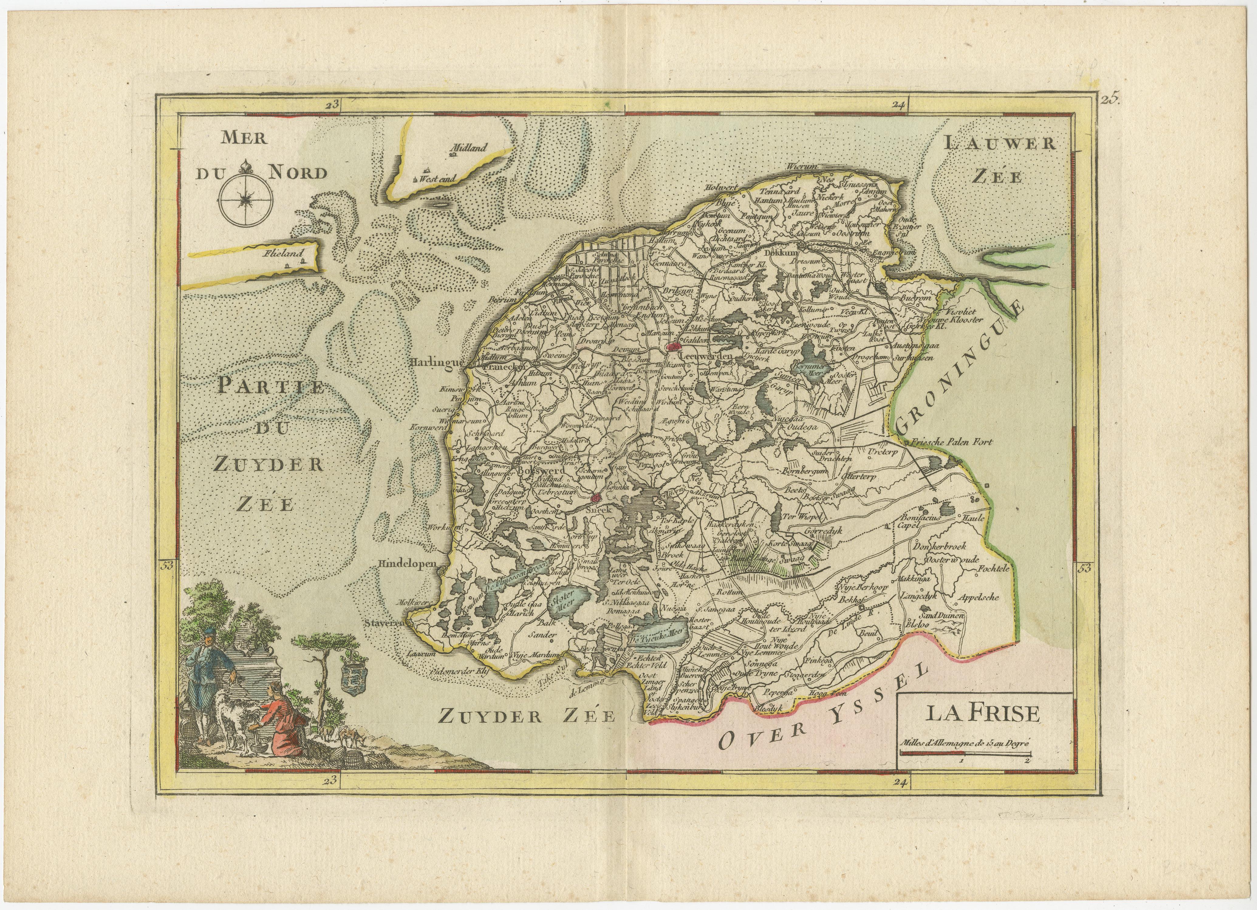
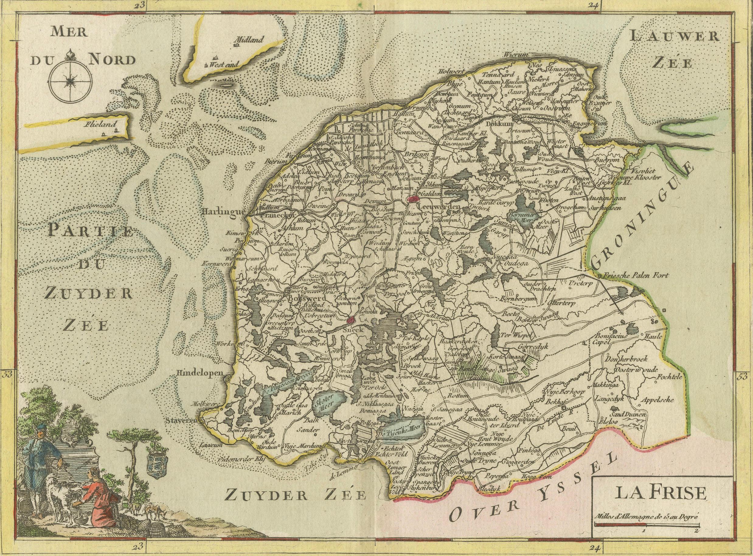
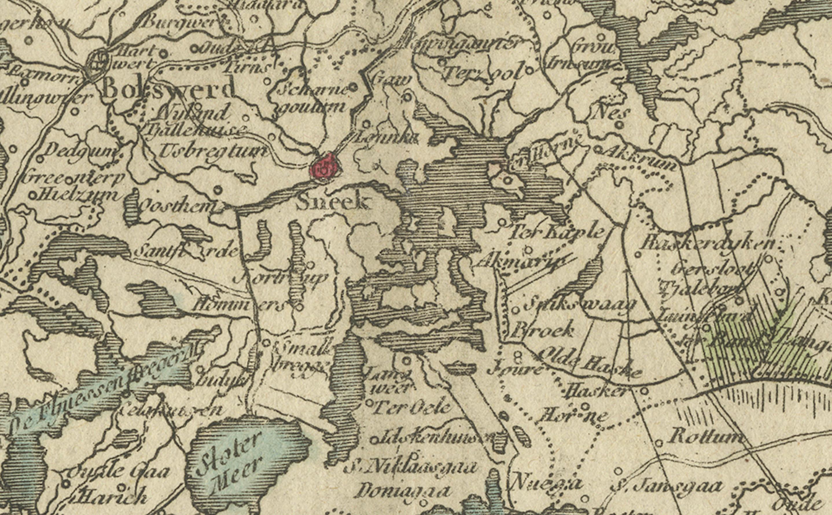
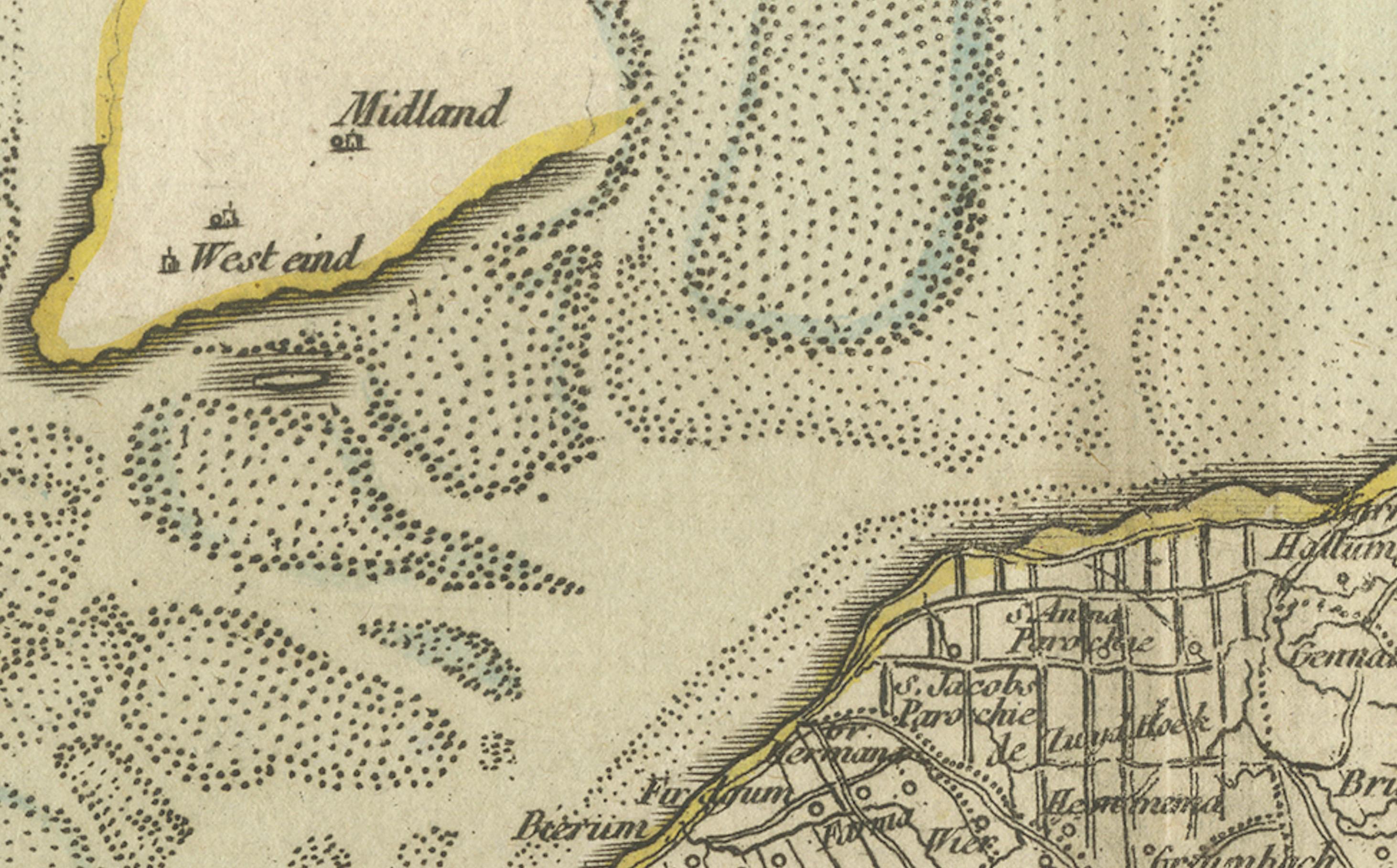
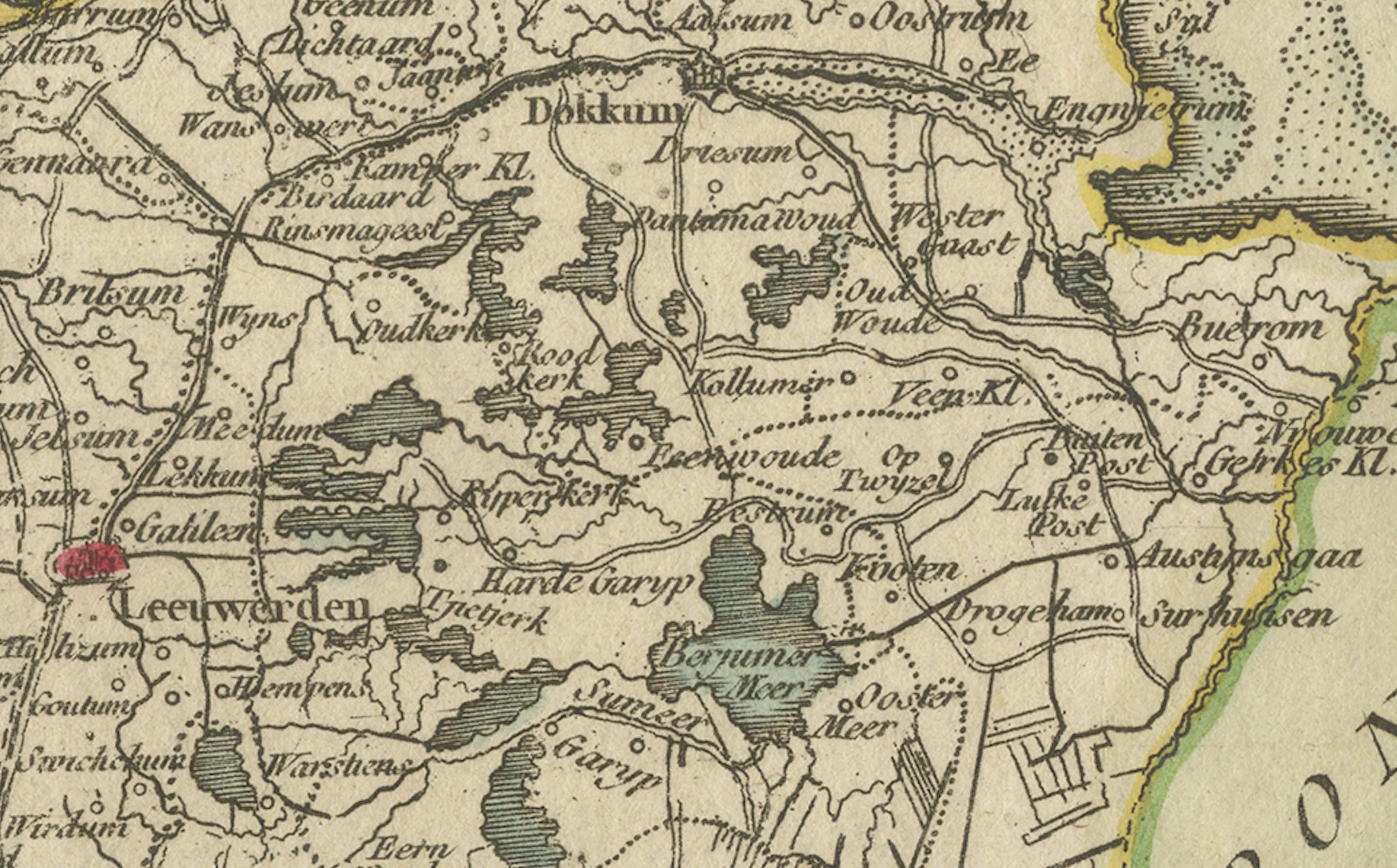
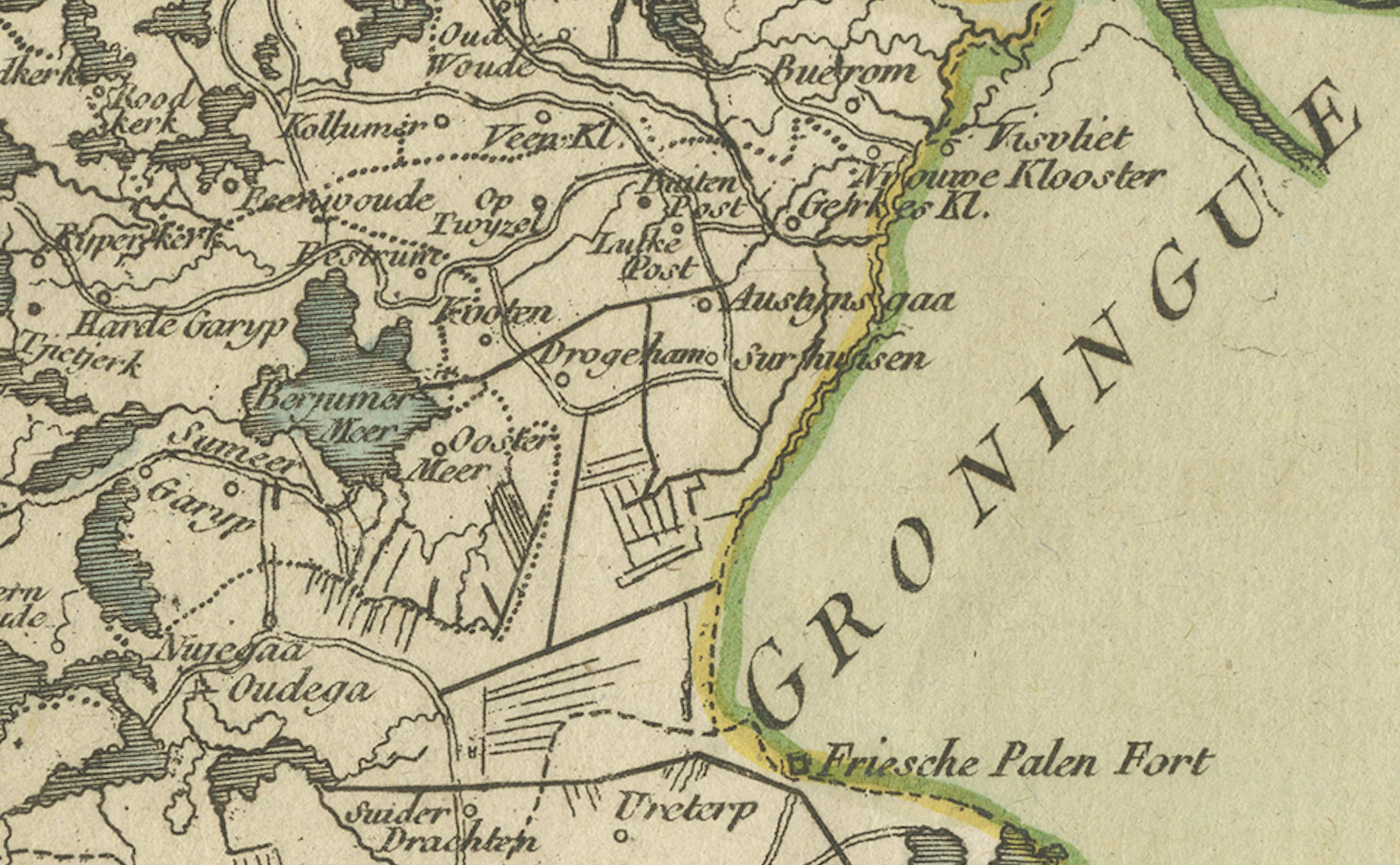
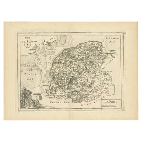
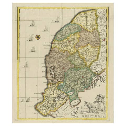
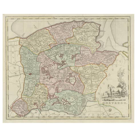
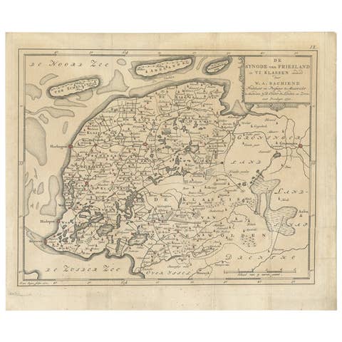
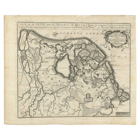
Map of Friesland (La Frise), from "Atlas Nouveau Portatif" (1756)
€ 290
One of a kind: this is the sheet in the photographs. Ships from Langweer, the Netherlands.
Date
1756
Sheet size
25 × 34.5 cm (9.8 × 13.6 in)
Reference
BG-13094-6
Condition
good, given age. General age-related toning and/or occasional minor defects from handling. Vertical fold as issued. lease study scan carefully.
About this sheet
This is an 18th-century map of Friesland (Frise), a northern province of the Netherlands, engraved by *Georges-Louis Le Rouge*, a French cartographer, architect, and royal geographical engineer for King Louis XV.
It was published in 1756 as part of his "Atlas Nouveau Portatif à l'Usage des Militaires, Collèges et du Voyageur, Tome 1."
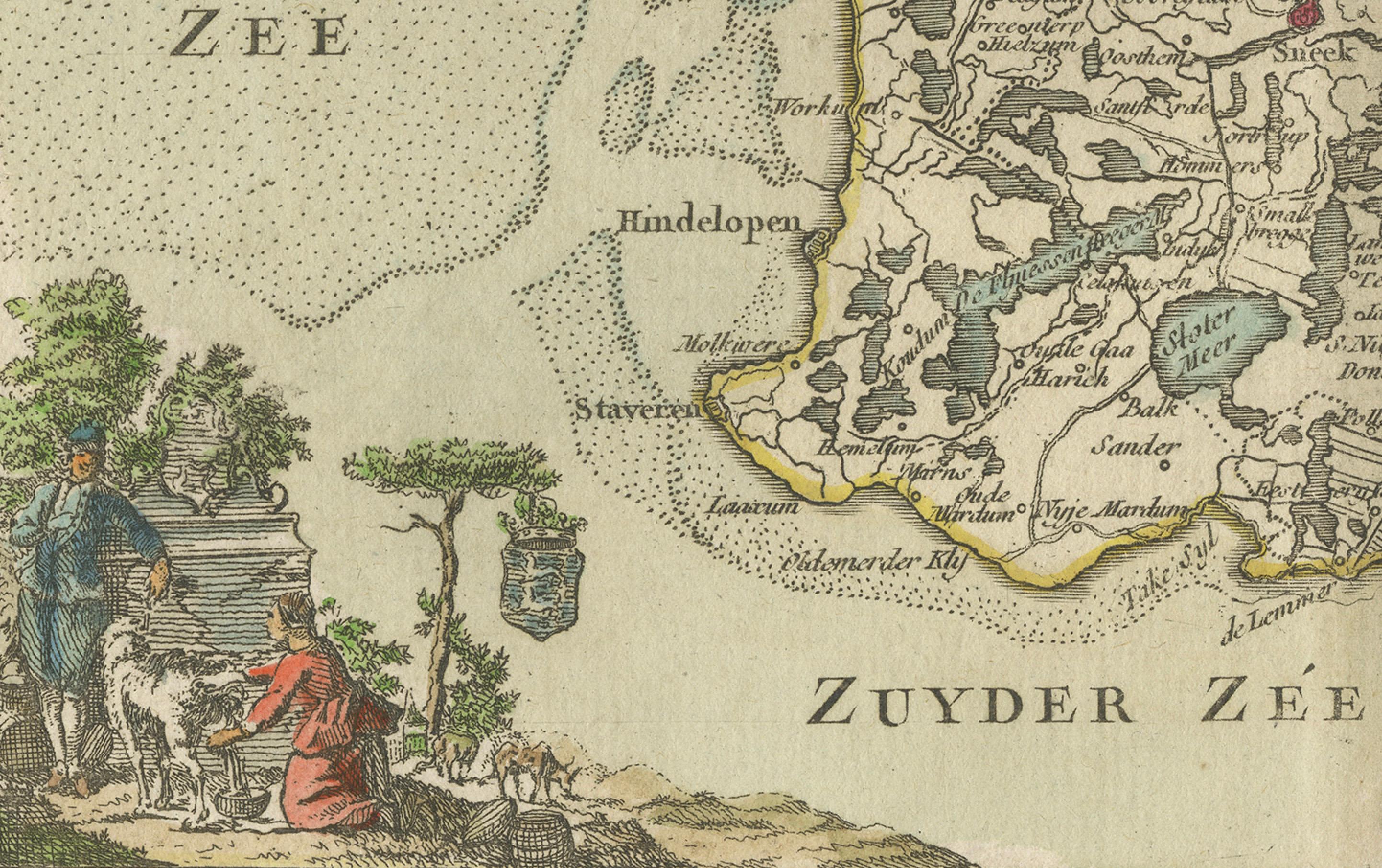
The map is hand-colored and features the coastal areas around Friesland, the Zuiderzee (Zuyder Zee), and adjacent regions like Groningen. It highlights geographic features such as waterways, towns, and borders of the province. The decorative cartouche in the lower-left corner includes pastoral scenes with figures and sheep, adding an artistic flourish typical of maps from this era.
Technique: Copperplate engraving with original period hand-coloring (acquaforte su rame, coloritura d'epoca) Condition: Very good, with a visible editorial fold.
This map is an exquisite example of mid-18th-century cartography, reflecting both the geographical knowledge and artistic style of the period.
Here are some relevant keywords for this map:
- Friesland - La Frise - Zuiderzee - 18th-century cartography - Georges-Louis Le Rouge - Dutch provinces - Hand-colored map - Copperplate engraving - Historical geography - Atlas Nouveau Portatif - Paris 1756 - French cartographer - Pastoral cartouche - Maritime regions
Important cities and towns visible on the map include: