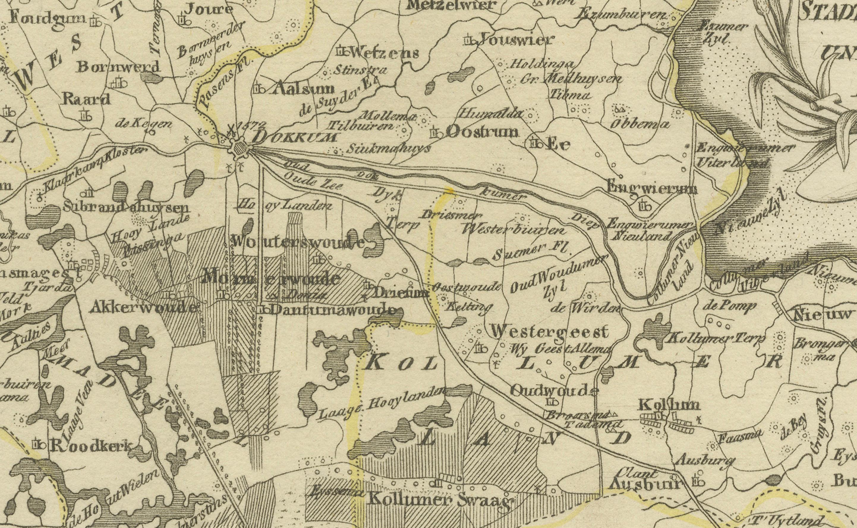
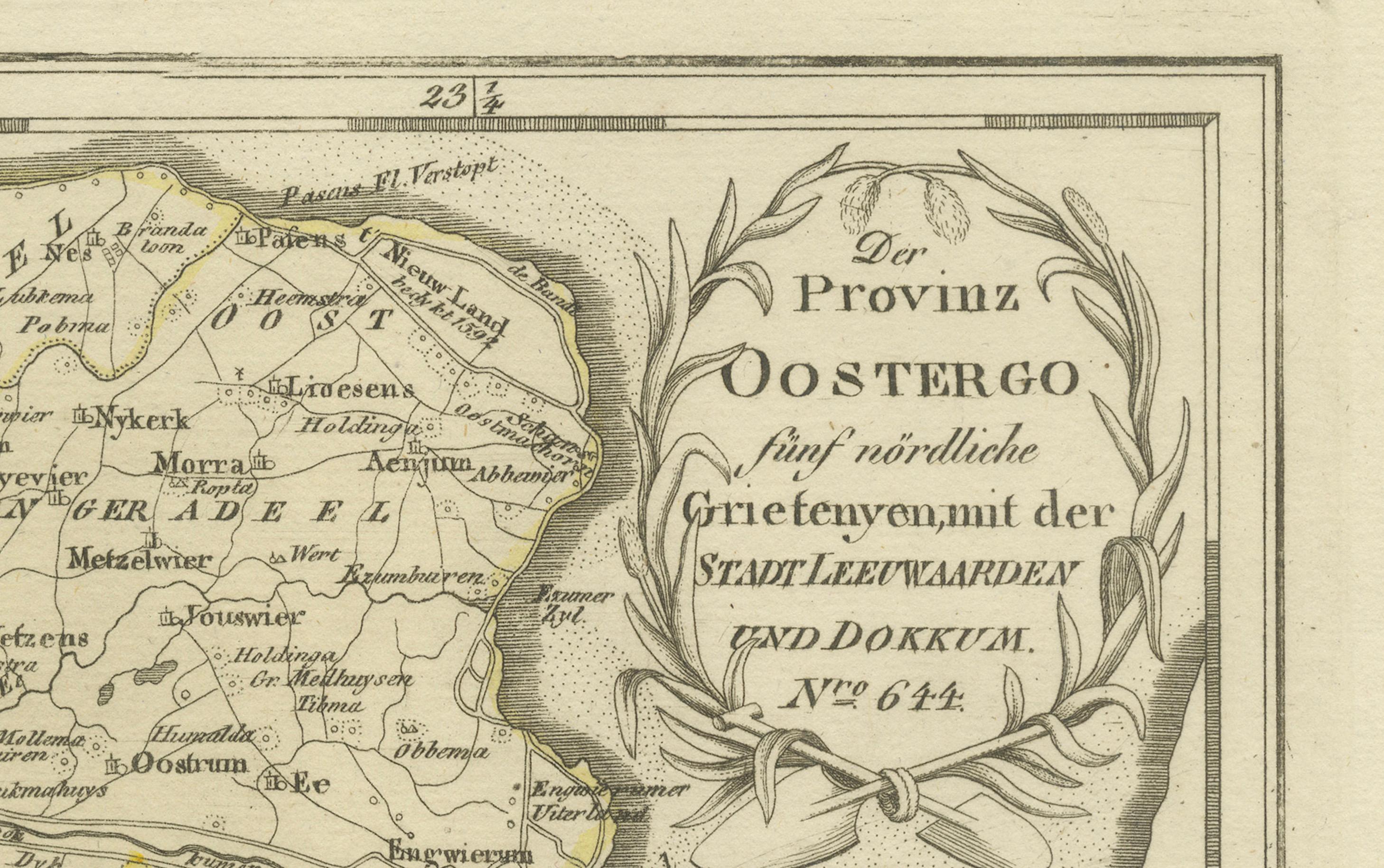
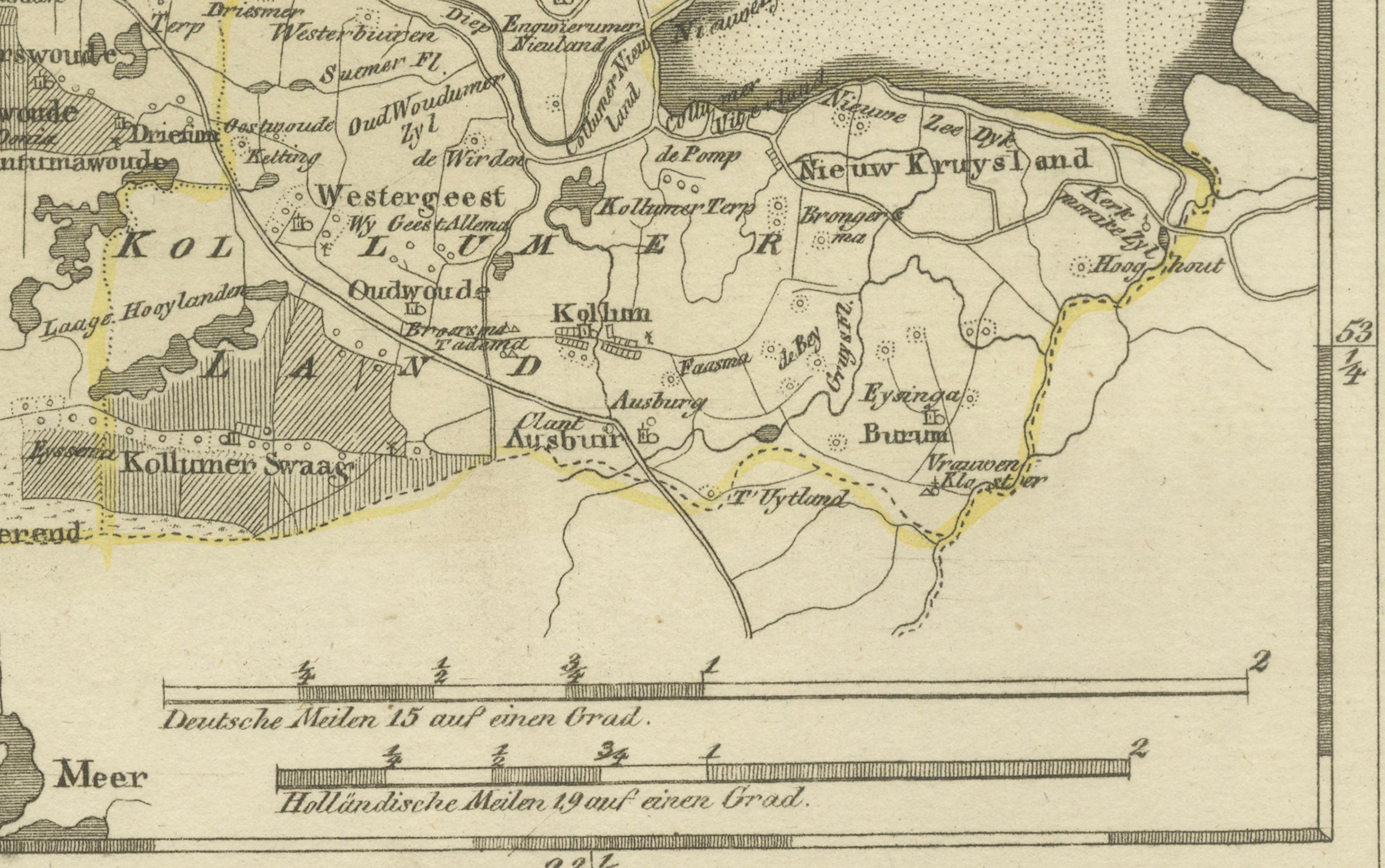
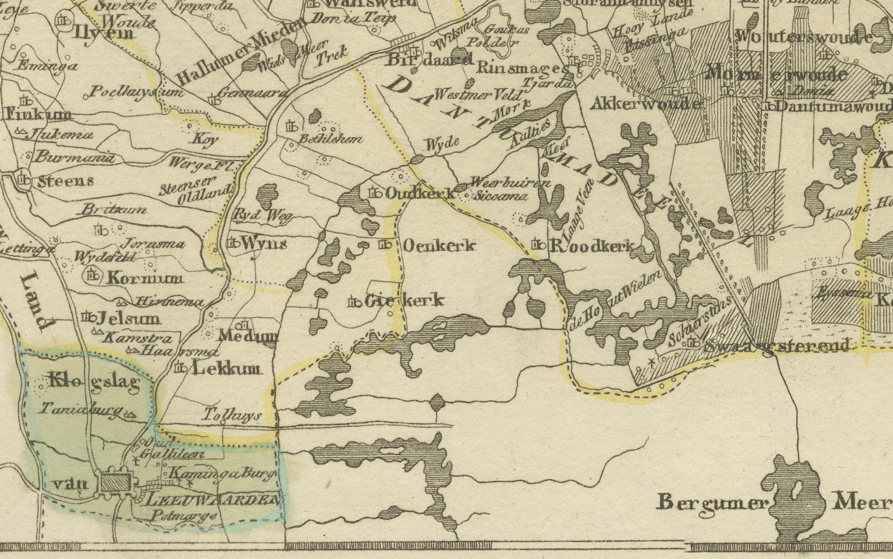
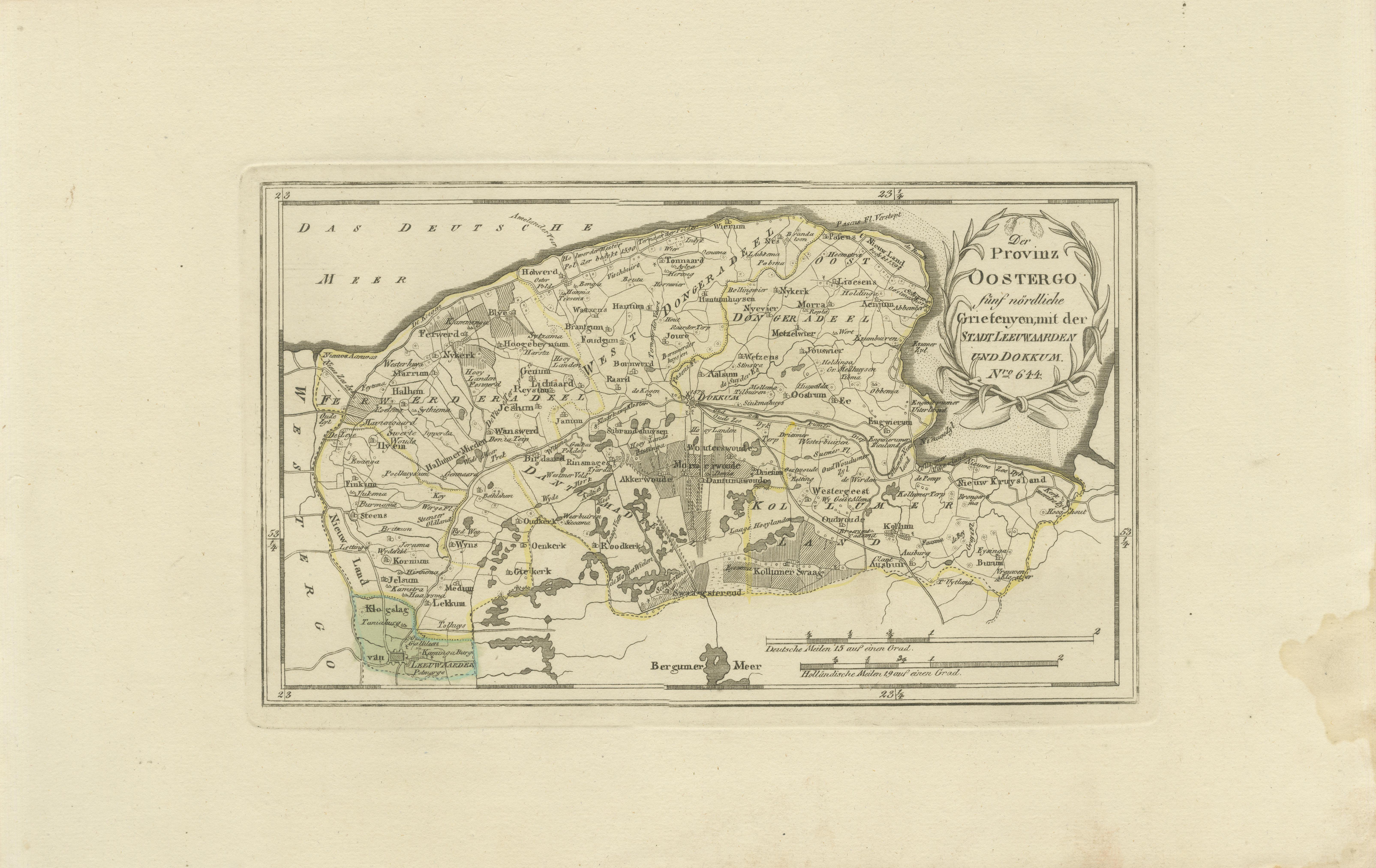
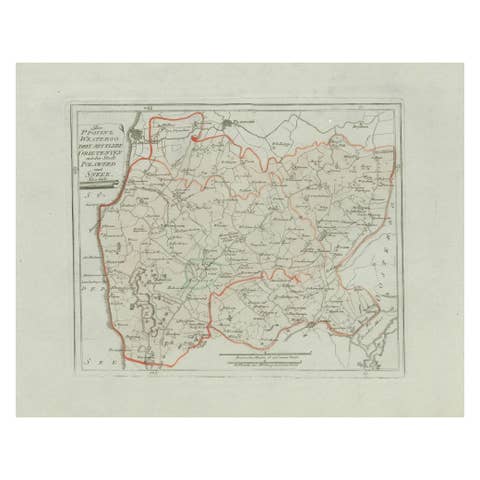
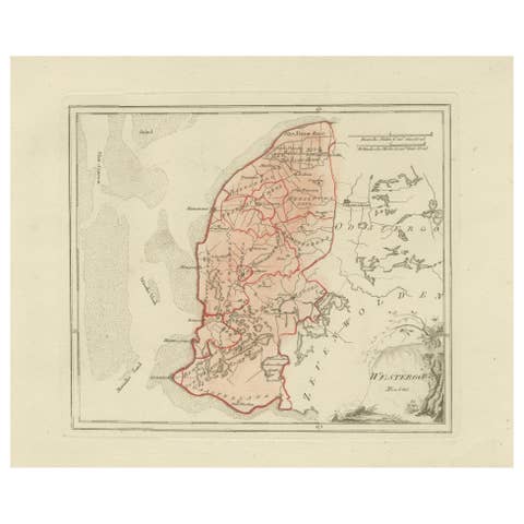
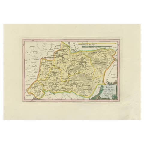
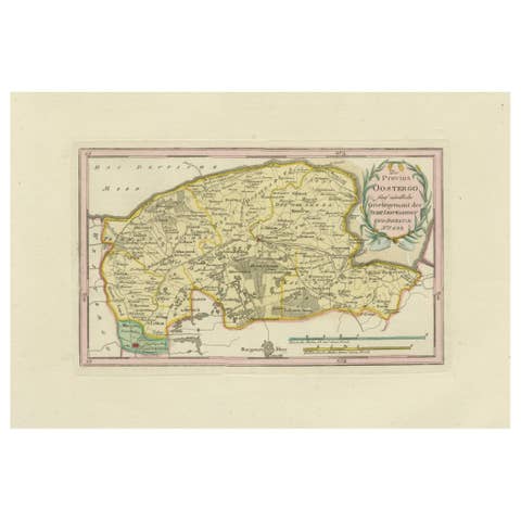
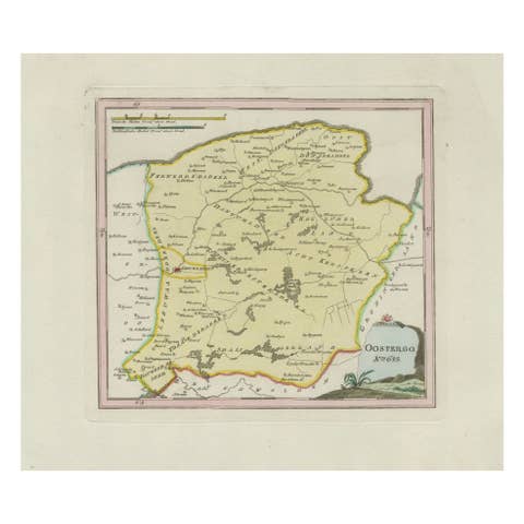
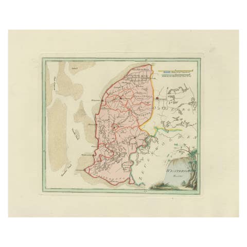
Antique Map of Leeuwarden and Dokkum, Friesland by von Reilly, 1791
€ 360
One of a kind: this is the sheet in the photographs. Ships from Langweer, the Netherlands.
Date
1791
Sheet size
29.5 × 45.5 cm (11.6 × 17.9 in)
Condition
Good
Reference
BG-13229-14
Condition
Condition report: Good to Excellent condition with general age toning. Small water stain visible in the lower right margin (far outside the printed area). Original hand coloring of borders. Blank verso.
About this sheet
Antique Map of Leeuwarden and Dokkum, Friesland by von Reilly, 1791
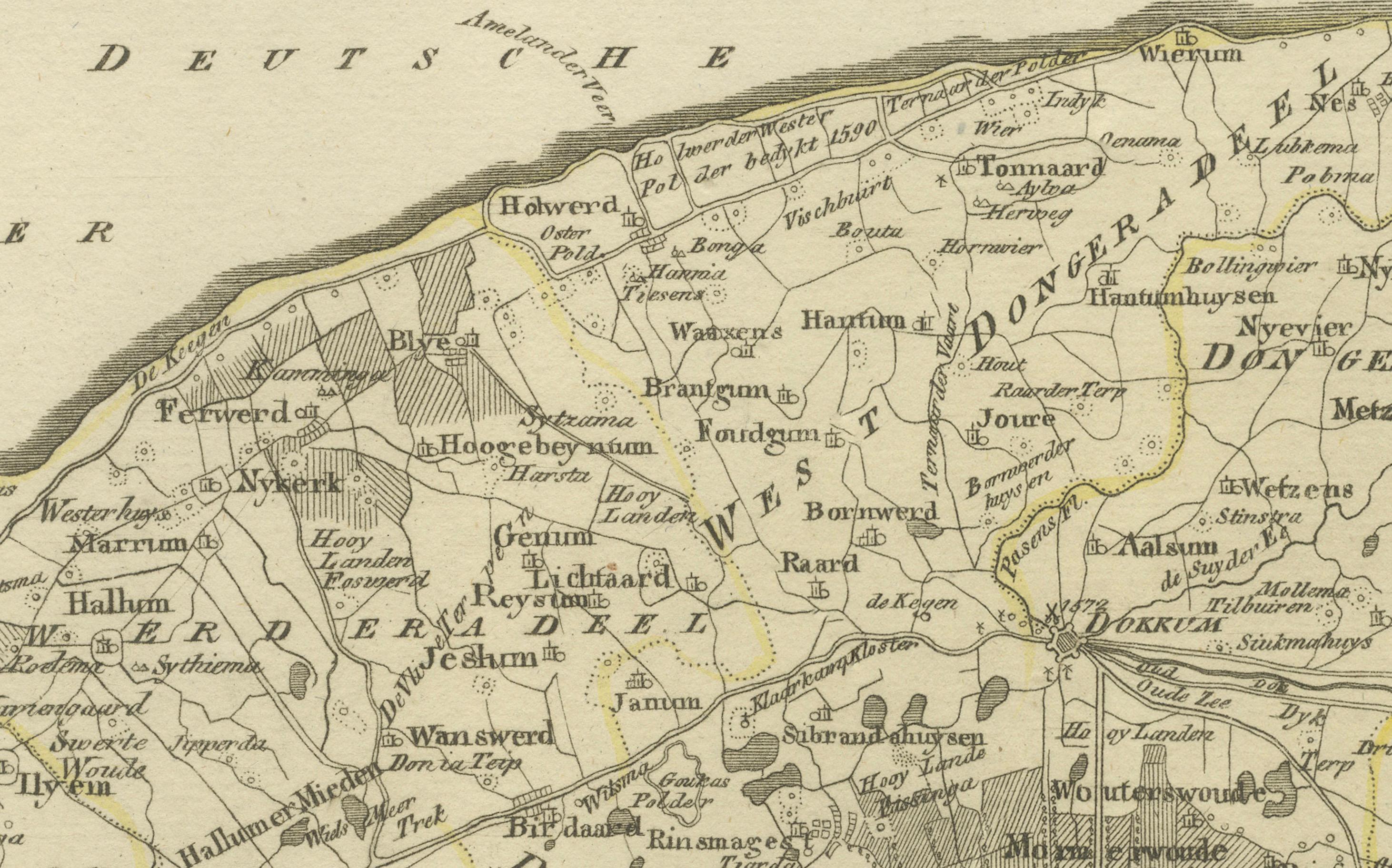
Original hand-colored map titled 'Der Provinz Oostergo fünf nördliche Grietenyen, mit der Stadt Leeuwarden und Dokkum', published in Vienna in 1791. The map depicts the eastern part of Friesland known as Oostergo, focusing on its rural districts (grietenijen) and highlighting the important cities of Leeuwarden, the provincial capital, and Dokkum, the historic Frisian town famous for the martyrdom of Saint Boniface in 754.
This finely detailed map originates from Franz Joseph Johann von Reilly’s monumental Schauplatz der fünf Theile der Welt (“Showplace of the Five Parts of the World”), an ambitious late 18th-century Austrian atlas project. Von Reilly (1766–1820) was a Viennese art dealer and publisher, recognized as one of the most influential Austrian mapmakers of his era. The engraving work was carried out by Ignaz Alberti (1760–1794), a skilled Viennese engraver and publisher known for his precision and clarity in cartographic plates.
The map shows villages, waterways, polders, and boundaries of the districts, accentuated by delicate original hand coloring. A decorative cartouche in the upper right corner frames the title within a leafy wreath design, balancing utility with artistry.
This map provides a valuable historical record of Friesland at the end of the 18th century, when Leeuwarden was a thriving cultural and administrative hub and Dokkum retained its importance as a northern maritime town. Today, such maps are prized for their historical and regional insight as well as for their decorative qualities.
Condition report: Good condition with general age toning. Small water stain visible in the lower right margin (outside the printed area). Original hand coloring of borders. Blank verso.
Framing tips: A gilt or dark wood frame with a cream or light beige mat will enhance the classical character of this map. Adding a subtle green inner line in the mount will echo the delicate border coloring and cartouche decoration.
Technique: Engraving with original hand color Maker: Franz Joseph Johann von Reilly, engraved by Ignaz Alberti, Vienna, 1791