About this sheet
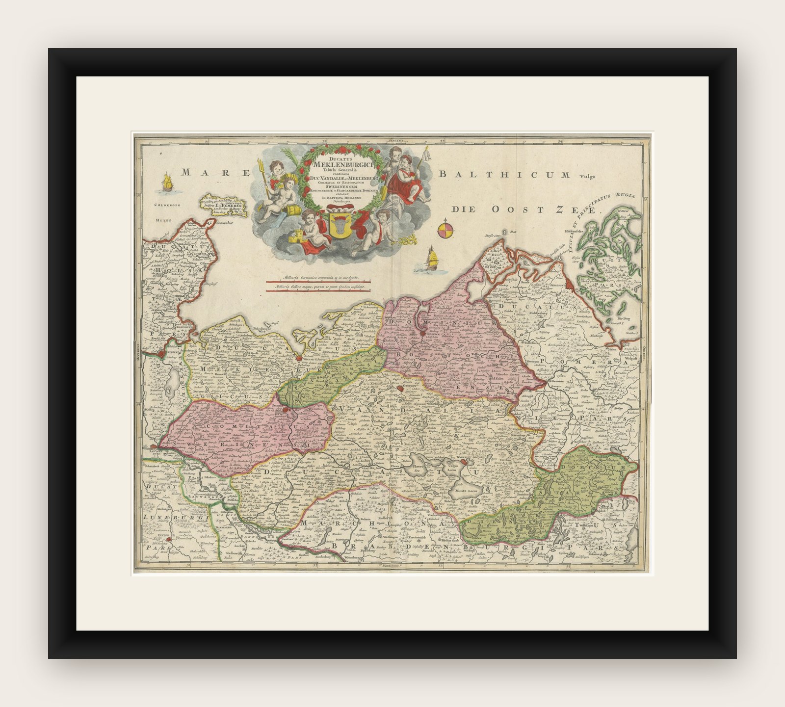
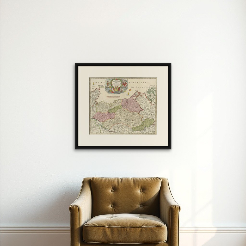
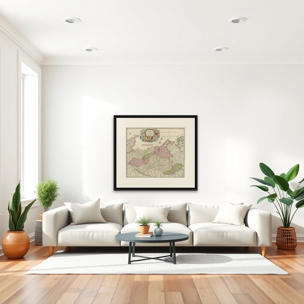
Antique Map of Mecklenburg-Vorpommern by J.B. Homann, c.1720
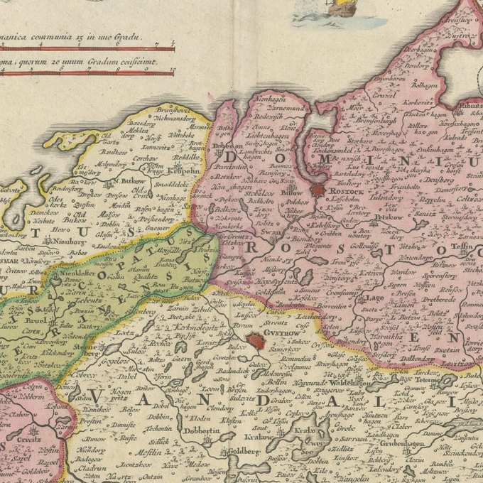
Old colored antique map of Mecklenburg-Vorpommern by Johann Baptist Homann. This stunning map, titled "Ducatus Meklenburgici Tabula Generalis Continens Duc. Vandaliae et Meklenburg Comitatum et Episcopatum Swerinensem Rostochiense et Stargardiense Dominium," was published in Nuremberg around 1720. It offers a detailed depiction of the Baltic Sea coastline, stretching from Holstein, including Fehmarn, Travemünde, and Lübeck, to Wismar, Rostock, and the island of Rügen. Further south, the map highlights the Mecklenburg Lake District, prominently featuring the Müritz.
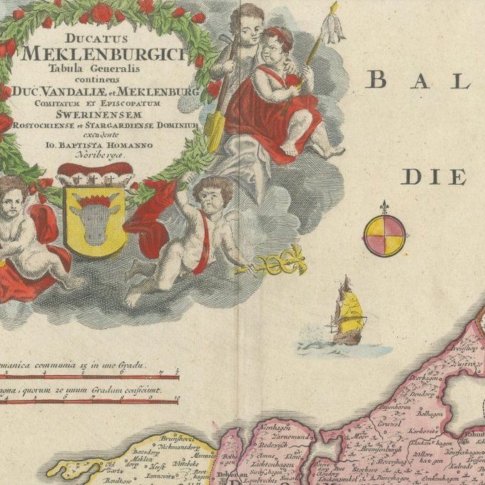
What makes this map particularly fascinating is its meticulous detail combined with artistic embellishment, typical of Homann's work. The top features a decorative cartouche adorned with cherubs, coats of arms, and other allegorical elements, adding an artistic and historical charm.
Johann Baptist Homann (1664–1724), a renowned German cartographer, was famous for his detailed and aesthetically rich maps, often blending scientific accuracy with artistic beauty. As the founder of the Homann Heirs map publishing firm, his works were instrumental in advancing cartographic knowledge and became highly sought after during the 18th century. His maps are celebrated for their precision, colorization, and decorative appeal, securing his legacy as one of the most influential mapmakers of his time.
The Latin title "Ducatus Meklenburgici Tabula Generalis Continens Duc. Vandaliae et Meklenburg Comitatum et Episcopatum Swerinensem Rostochiense et Stargardiense Dominium" translates to:
"General Map of the Duchy of Mecklenburg, including the Duchy of Vandalia and Mecklenburg, the County and Bishoprics of Schwerin, Rostock, and the Dominion of Stargard."
Here is the breakdown of the translation:
- Ducatus Meklenburgici: Duchy of Mecklenburg
- Tabula Generalis: General Map
- Continens: Containing or Including
- Duc. Vandaliae et Meklenburg: Duchy of Vandalia and Mecklenburg (Vandalia refers to a historical designation linked to Slavic tribes in this area)
- Comitatum: County
- Episcopatum Swerinensem Rostochiense et Stargardiense Dominium: Bishoprics of Schwerin, Rostock, and the Dominion of Stargard
This phrasing captures the geographic and administrative significance of the areas depicted in the map. It is located in the northeastern part of Germany, along the Baltic Sea coast. The map also includes parts of nearby regions like Holstein, Lübeck, and Rügen, all of which are historically tied to Germany.
The ornate cartouche is surrounded by cherubs, symbolic elements, and heraldic motifs, which add to the map’s artistic and historical significance. Such decorative cartouches were a hallmark of Johann Baptist Homann’s maps, serving as both a functional and aesthetic feature.