Antique Maps of Asia
1,096 original sheets
Asia as a Whole 120North Asia 41Central Asia 20West Asia & the Holy Land 320South Asia 153East Asia 153South-East Asia 289
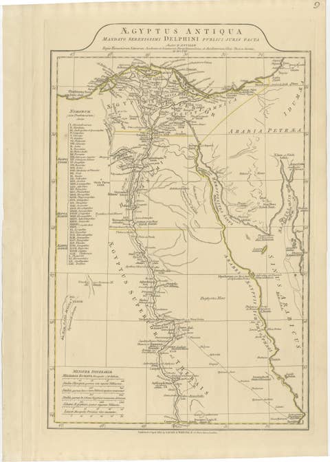
Antique Map of Ancient Egypt – Nile Valley & Red Sea, Engraving c.1818
1818 · € 580
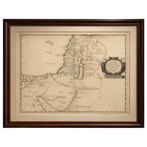
Antique Map Holy Land & Jerusalem — Patriarchatus Hierosolymitani, c1652
€ 380
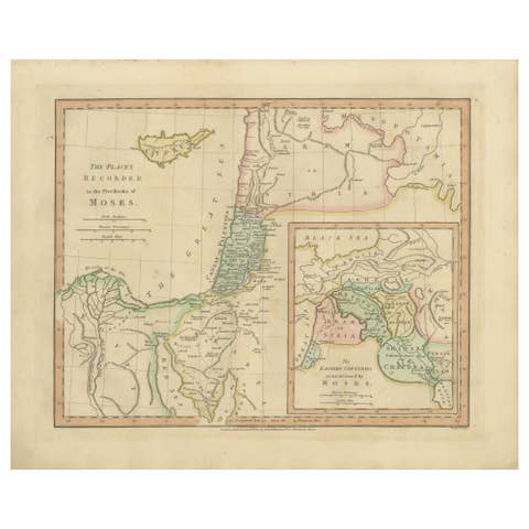
Places Recorded in the Five Books of Moses — Biblical Holy Land Map, 1827
1827 · € 330
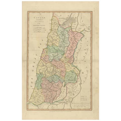
Canaan from Joshua to the Babylonian Captivity — Biblical Holy Land Map, 1823
1823 · € 360
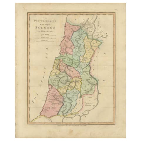
The Purveyorships in the Reign of Solomon — Biblical Map of Ancient Israel, 1798
1798 · € 310
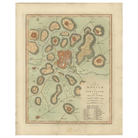
The Land of Moriah or Jerusalem & the Adjacent Country — Biblical City Map, 1814
1814 · € 310
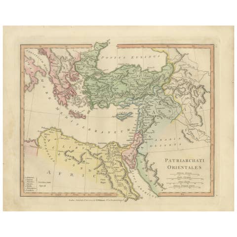
Patriarchati Orientales — Early Christian Patriarchates Map, Wilkinson 1822
1822 · € 320
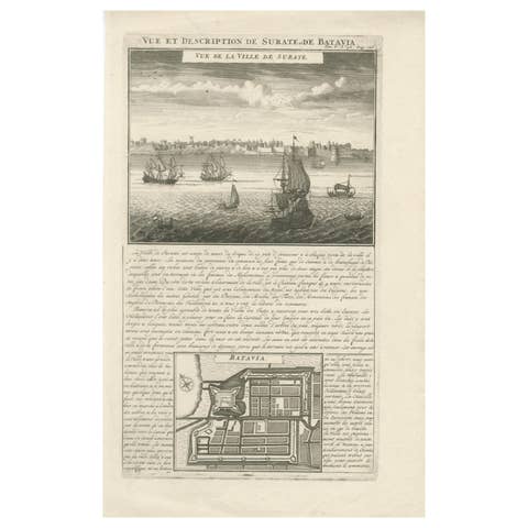
Antique View of Surat & Plan of Batavia — VOC India & Indonesia, Chatelain, 1719
1719 · € 380
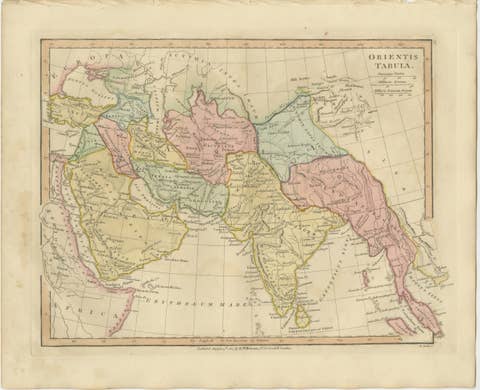
Antique Map of the Ancient Middle East & India – Wilkinson Orientis Tabula, 1807
1807 · € 329

Antique Map Sri Lanka Ceylon Bellin 1750 – Kingdom of Kandy Enlightenment Map
1750 · € 440

Elegant 18th Century Map of Southeast Asia, Siam, Sumatra & Java by Bonne - 1787
1787 · € 580

Elegant 18th Century Map of Asia by Rigobert Bonne Showing Siberia & China, 1787
1787 · € 560

Rare 16th Century Map of the Holy Land and Palestine by Matthias Quad, ca.1599
1599 · € 689
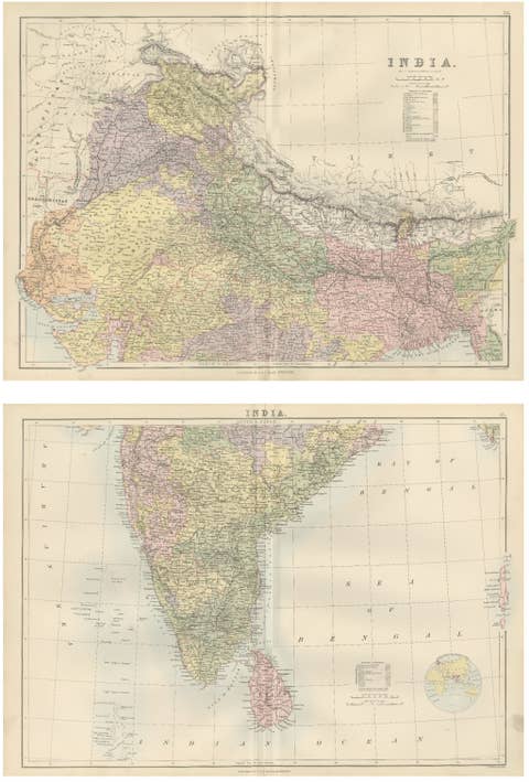
Antique Map Set of India, Two Sheets of Black’s General Atlas, Bartholomew 1884
1884 · € 579

Antique Map Philippines – Moluccas, Celebes, Spice Islands – Tirion, c.1738
1738 · € 690
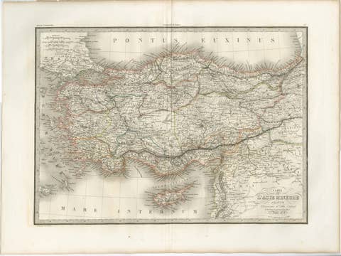
Antique Map Asia Minor Turkey Levant, Lapie 1838 – Hand Colored Engraving
1838 · € 399
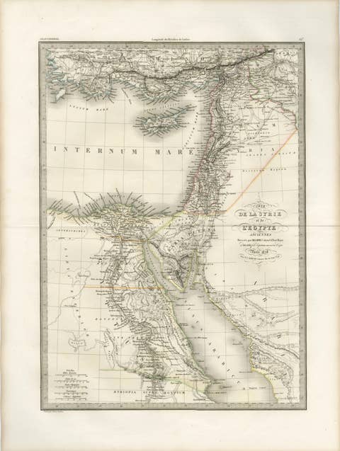
Antique Map of Syria, Egypt and the Nile Delta – Lapie, 1838
1838 · € 499
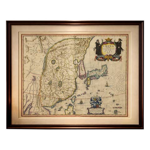
Antique Blaeu Map of China, Japan & Korea, Exotic Cartouches & Ships, c.1642
1642 · € 5 450
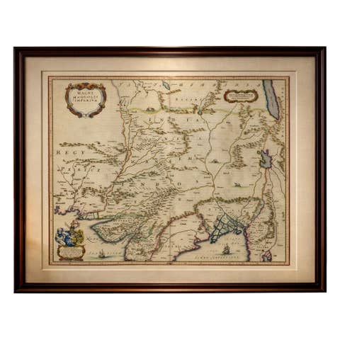
Imperial Mughal India Blaeu Map, Ganges Delta & Persia c.1642
1642 · € 3 650

Imperial Tartary Blaeu Map, Central Asia Caravan Scene c.1642
1642 · € 3 350
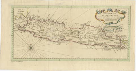
Antique Map of Java Indonesia, VOC Period, Decorative Cartouche, c.1750
1750 · € 549
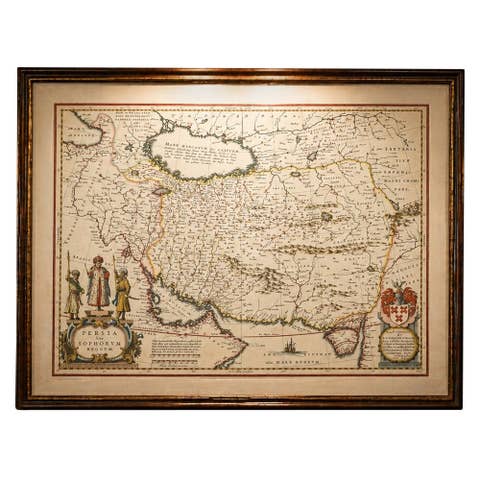
Blaeu Map of Persia, Caspian Sea & Arabia, Hand Colored, c.1642
1642 · € 5 750

Carte des Isles Philippines – Antique Map of the Philippines, 1752
1752 · € 1 200
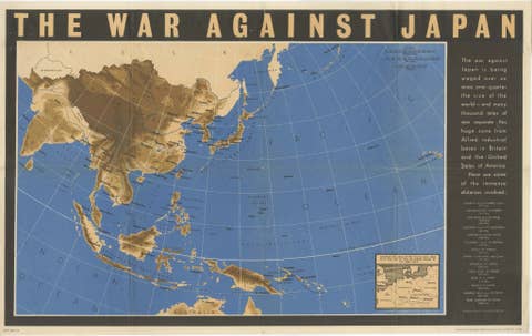
Original Vintage WWII Pacific Theater Map “The War Against Japan” Poster, 1944
1944 · € 980

Antique Map of Japan by Johnson & Ward, Decorative Civil War Era Atlas Map, 1865
1865 · € 440
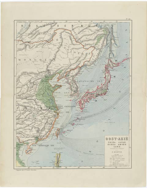
Antique Map of East Asia, Japan & Korea by J. Kuijper, circa 1860
1860 · € 310
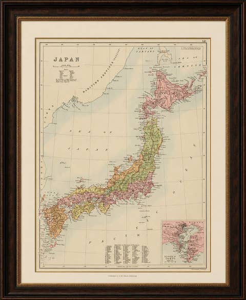
Antique Map of Japan with Tokyo Inset, Black’s General Atlas, 1885
1885 · € 450

Sanson & Schenk Biblical Map of the Twelve Tribes of Israel, circa 1700
1700 · € 1 650
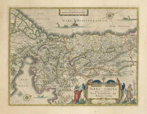
Antique Blaeu Holy Land Map – Terra Sancta Palestina, 1629
1629 · € 3 450
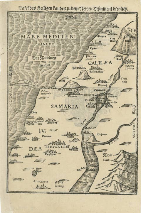
Rare 16th Century Holy Land Woodcut Map by Heinrich Bünting, circa 1581
1581 · € 1 150
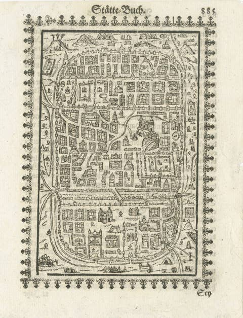
17th Century Woodcut Map of Jerusalem from Abraham Saur’s Städte-Buch, 1658
1658 · € 1 190
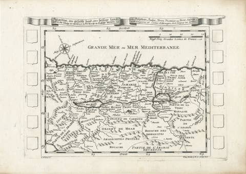
Antique Map of the Holy Land Palestine & Jerusalem, Elias Baeck ca. 1700
1700 · € 360
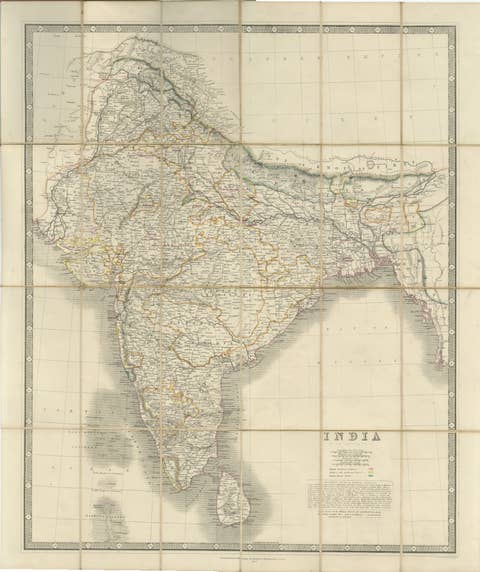
Johnston's Travelling Map of India on Linen in Original Cloth, 1857
1857 · € 1 010
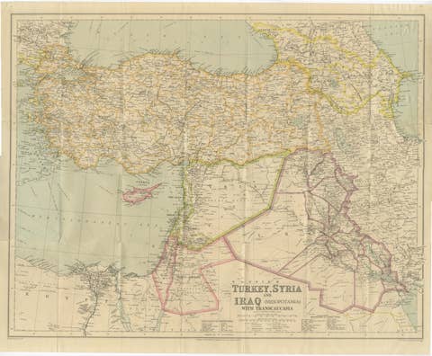
Philips' Imperial Map of Turkey, Syria, Iraq & Transcaucasia, c.1926
1926 · € 590

Byzance–Constantinople: Archaeological & Topographical Map, MISN, 1938
1938 · € 740
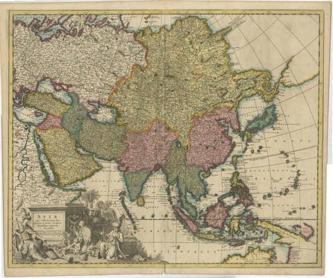
Decorative Antique Map of Asia and the East Indies, circa 1720
1720 · € 1 150
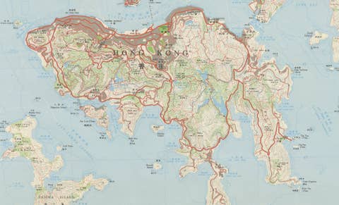
Large Two-Sheet Map of Hong Kong, Kowloon and the New Territories, 1975
1975 · € 2 250
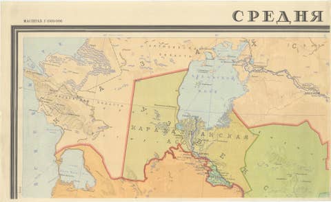
Large Four-Sheet Soviet Map of Central Asia by L. V. Glushkova, 1969
1969 · € 2 450
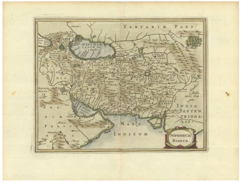
Antique Map of Persia and the Safavid Empire by Cluver and Jansson, 1676
1676 · € 475

World War II Pictorial Map of India and Southeast Asia by Jacques Mercier, 1942
1942 · € 495