About this sheet
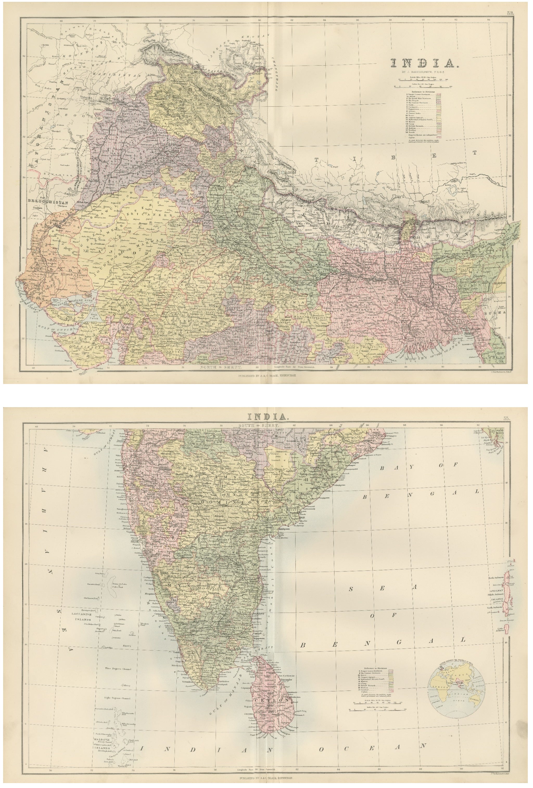
Antique Map Set of India, Two Sheets from Black’s General Atlas, Bartholomew 1884
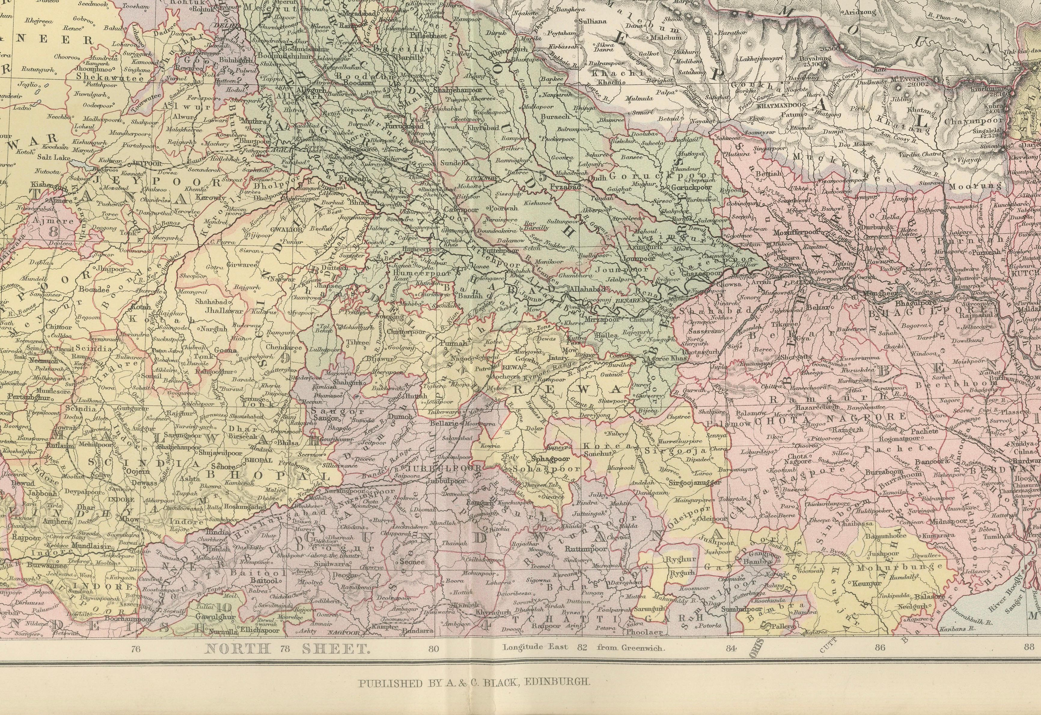
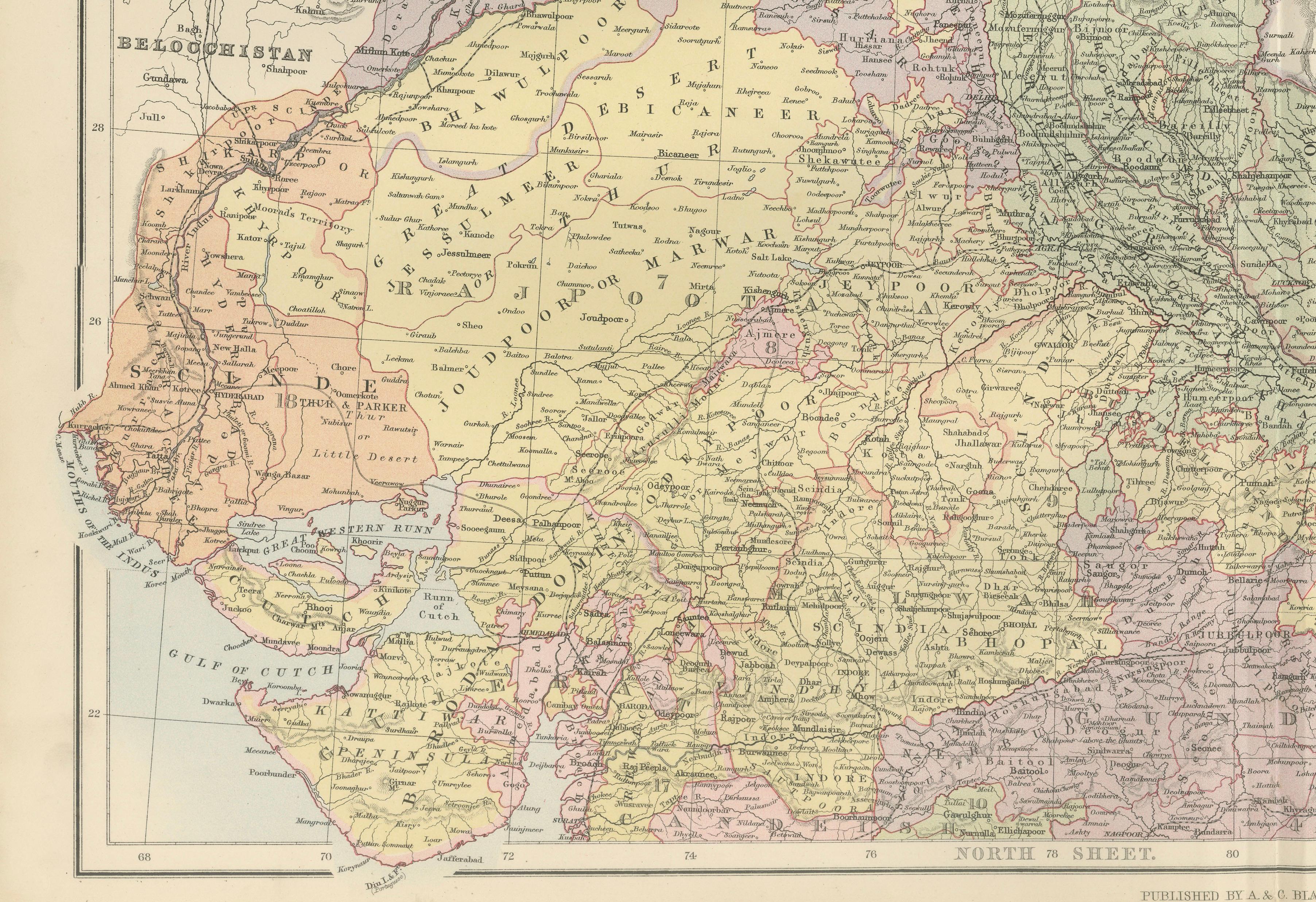
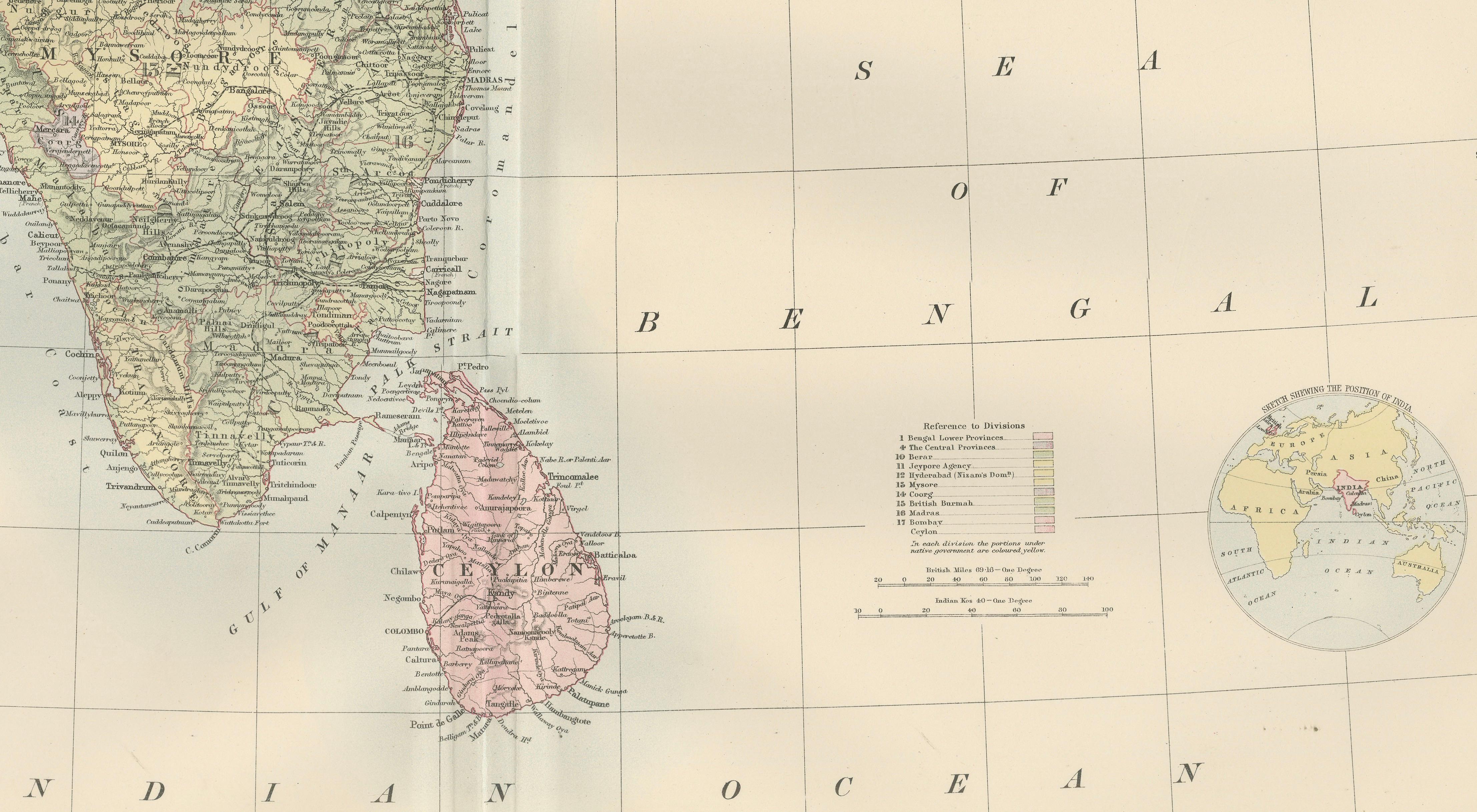
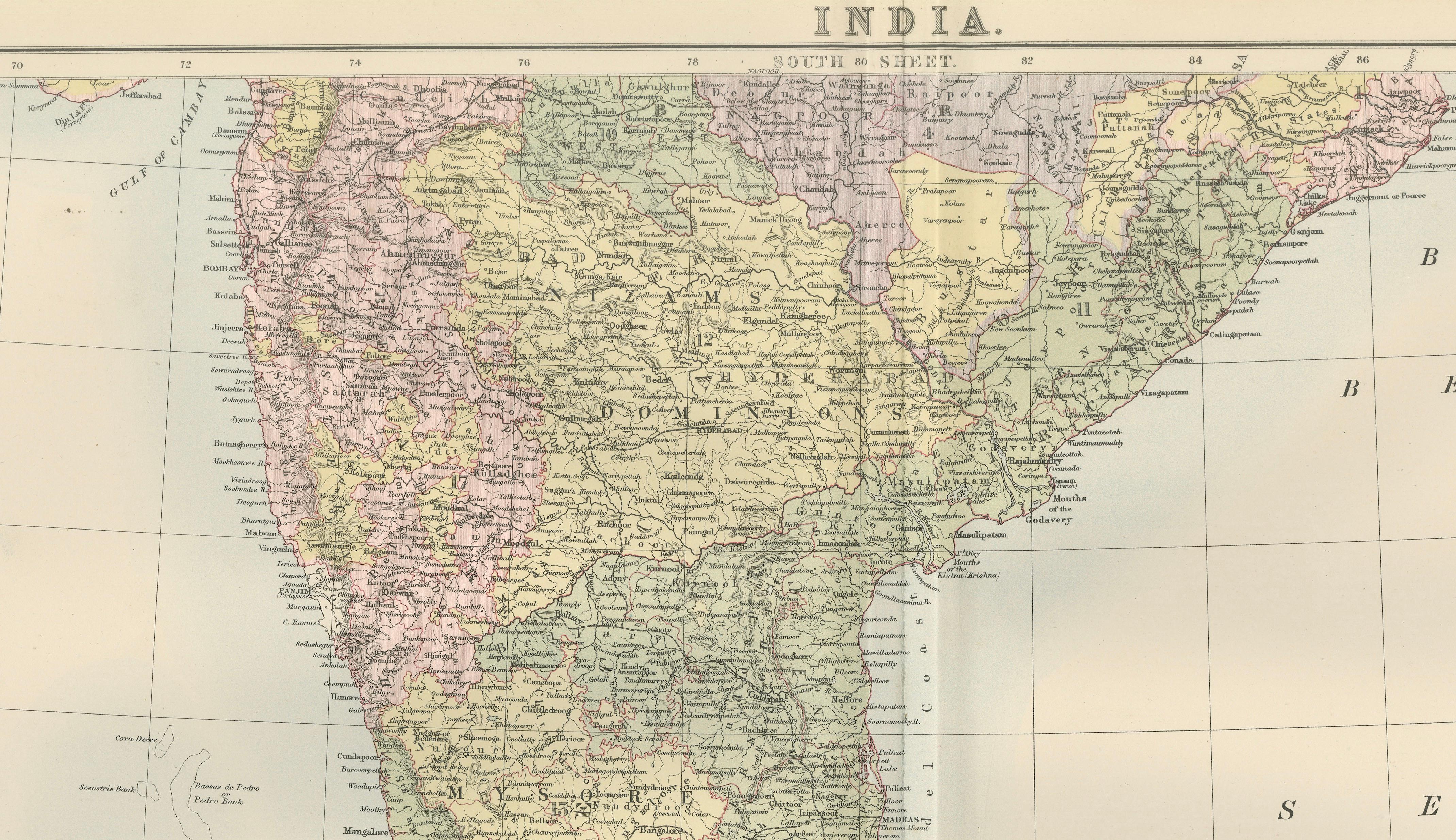
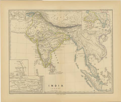
This detailed two-sheet map of India was published in the New and Revised Edition of Black’s General Atlas of the World, issued in Edinburgh in 1884 by the well-known Scottish publishing house A. & C. Black. When placed together, the two maps form a comprehensive representation of the Indian subcontinent during the late nineteenth century, a period when British India dominated much of South Asia.
The maps were prepared under the direction of the celebrated cartographer John Bartholomew, whose work helped define the high standards of Victorian atlas production. Bartholomew’s maps were admired for their clarity, accuracy, and refined engraving, combining scientific geographic information with a visually elegant presentation. His work for Black’s atlases became widely respected across Europe and the British Empire and remains highly collectible today.
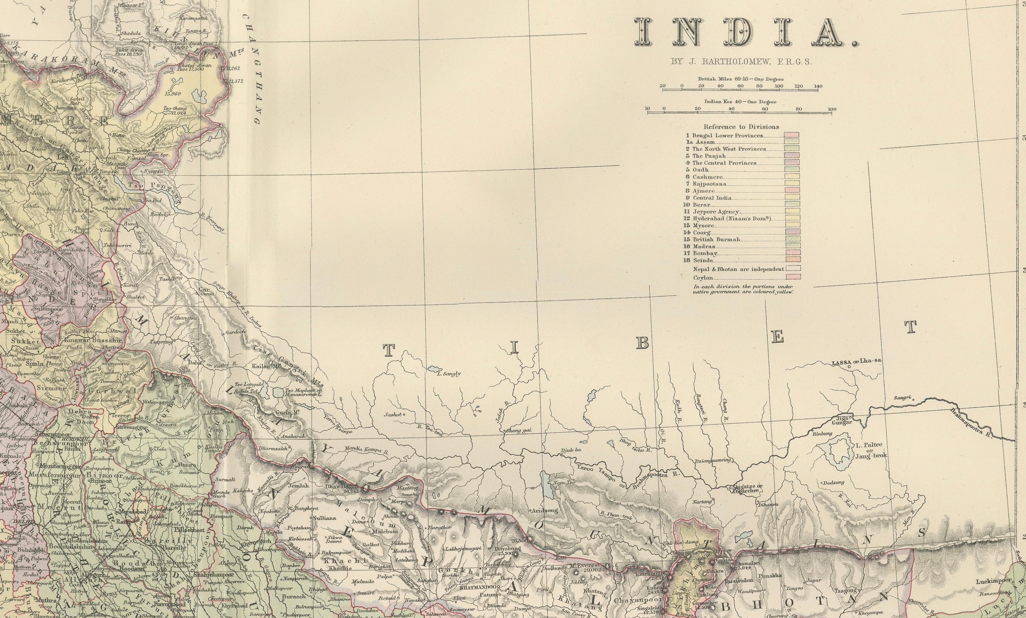
The first sheet illustrates the northern regions of the subcontinent, including the Punjab, Kashmir, Afghanistan frontier, Nepal, Bhutan, and Tibet. The immense Himalayan mountain system is rendered with fine engraved relief, while the plains of northern India reveal an intricate network of rivers, cities, and administrative divisions. Provincial boundaries and political regions are clearly delineated using printed color typical of late nineteenth-century atlas cartography.
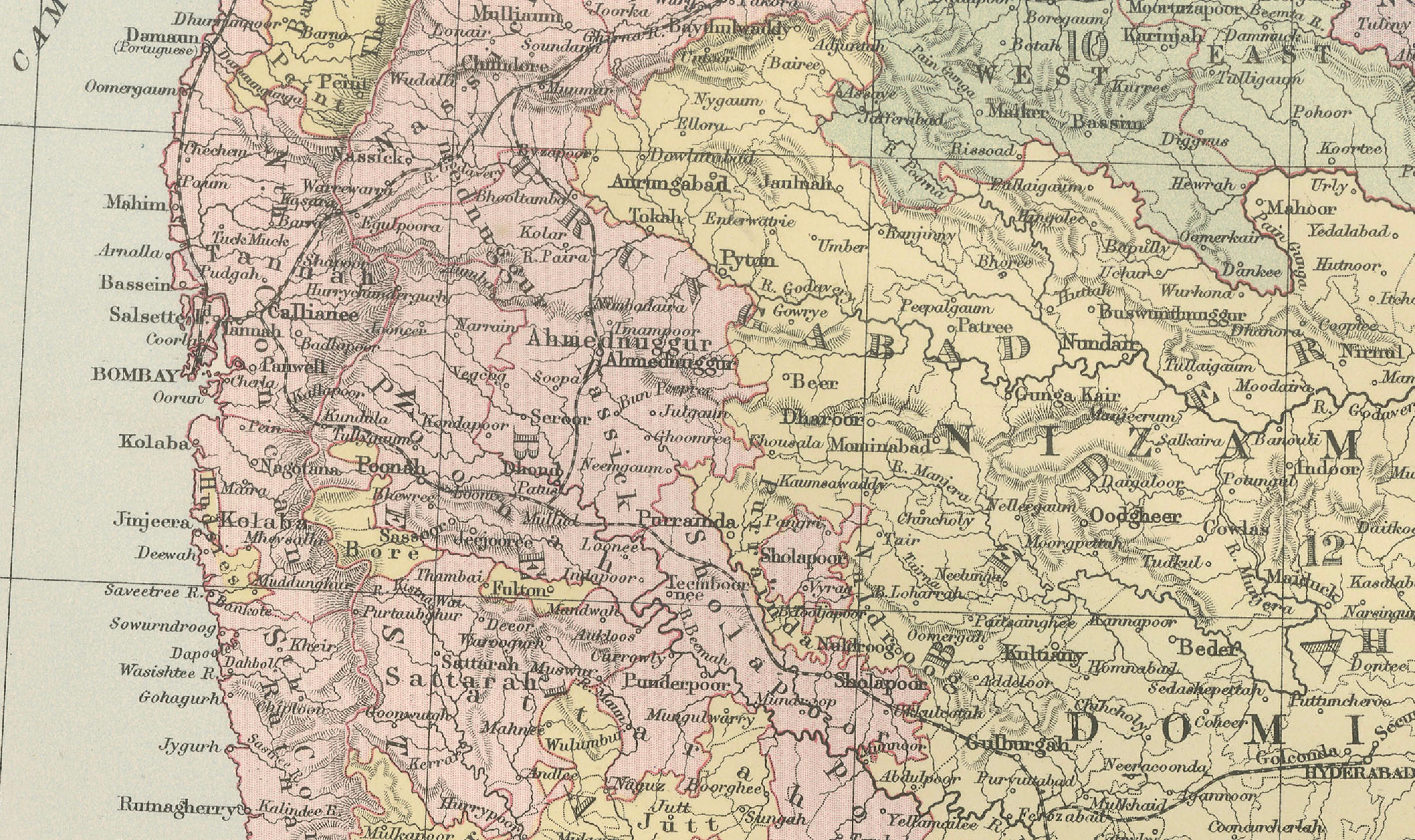
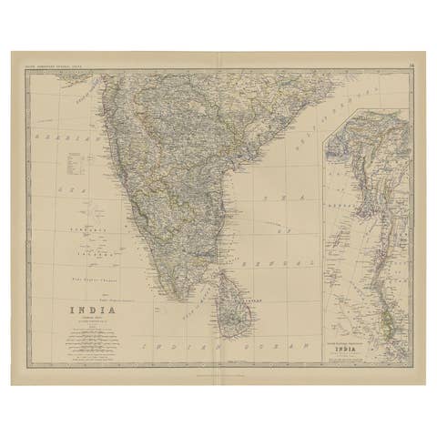
The second sheet depicts southern India and the Deccan Plateau, extending to the southern tip of the peninsula and including the island of Ceylon, now Sri Lanka. Major cities such as Bombay, Madras, and Calcutta appear prominently, while countless smaller towns, railways, and rivers are engraved throughout the landscape. The surrounding waters of the Arabian Sea, Bay of Bengal, and Indian Ocean are clearly marked, and the map also includes offshore island groups such as the Laccadive Islands and the Andaman Islands.
Because the maps originate from a major nineteenth-century atlas, the engraving is crisp and densely detailed, containing thousands of place names that document the administrative and geographic structure of British India at the time. Together the two sheets create an impressive large-scale cartographic view of the Indian subcontinent, making the set both historically significant and visually striking.
These maps are ideal for collectors of antique cartography, historians of the British Empire, or interior designers seeking a dramatic geographic statement for a study, office, or library wall.
It is not a modern reproduction. Any presentation images showing the prints framed are for visual inspiration only. The maps are supplied unframed.
Condition:
Very good antique condition. Light age toning and minor handling wear consistent with age. Original center folds visible as issued in the atlas. Small tears at the lower split. The paper remains strong and the printed colors remain clear and attractive.
Framing tips:
The two sheets frame beautifully as a vertical pair or as a stacked presentation showing the full subcontinent. A generous ivory or museum-white mat combined with a dark walnut or ebonized frame creates a refined and classic presentation suitable for libraries, offices, or sophisticated interiors.