About this sheet
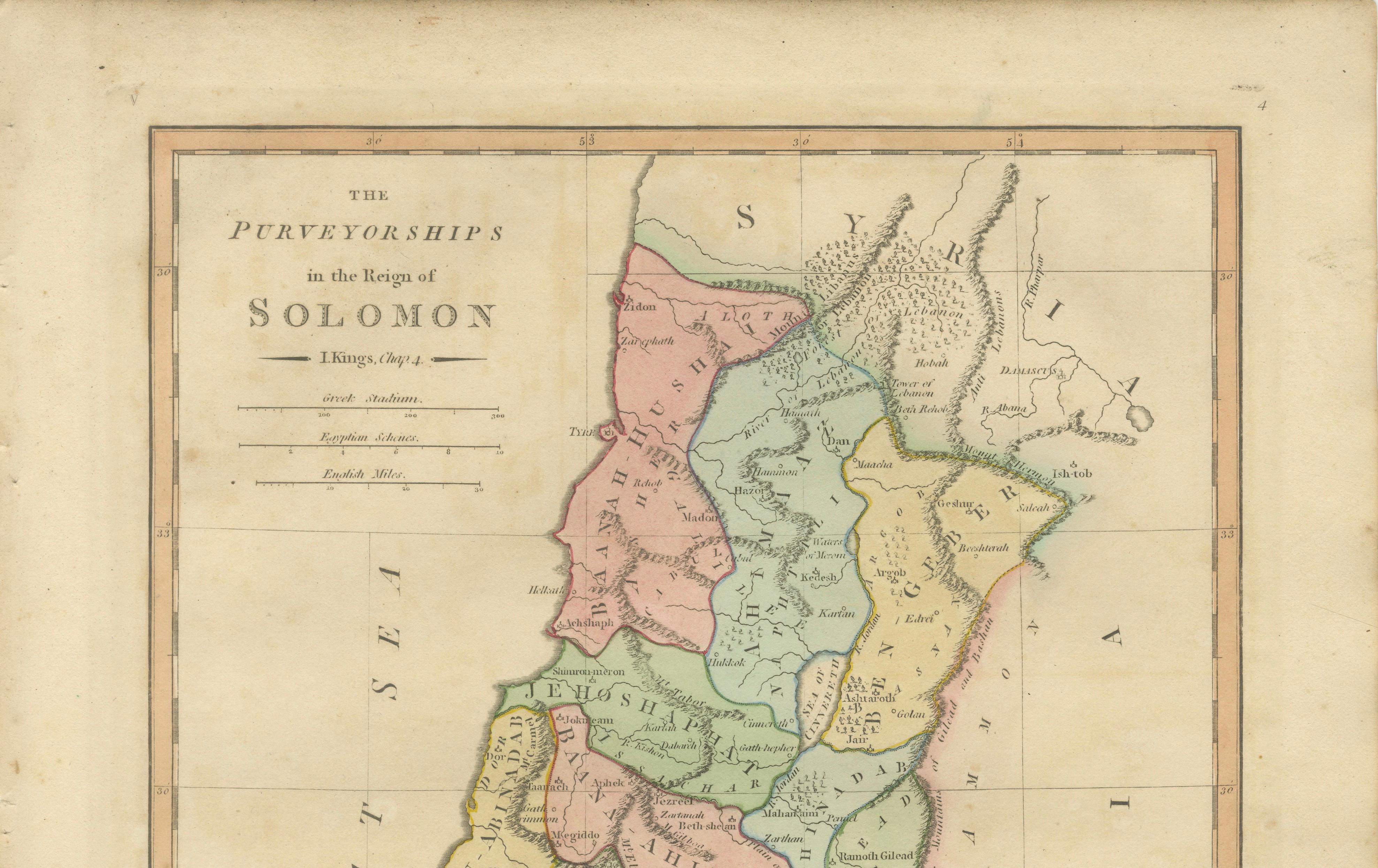
The Purveyorships in the Reign of Solomon — Biblical Map of Ancient Israel, Wilkinson 1798
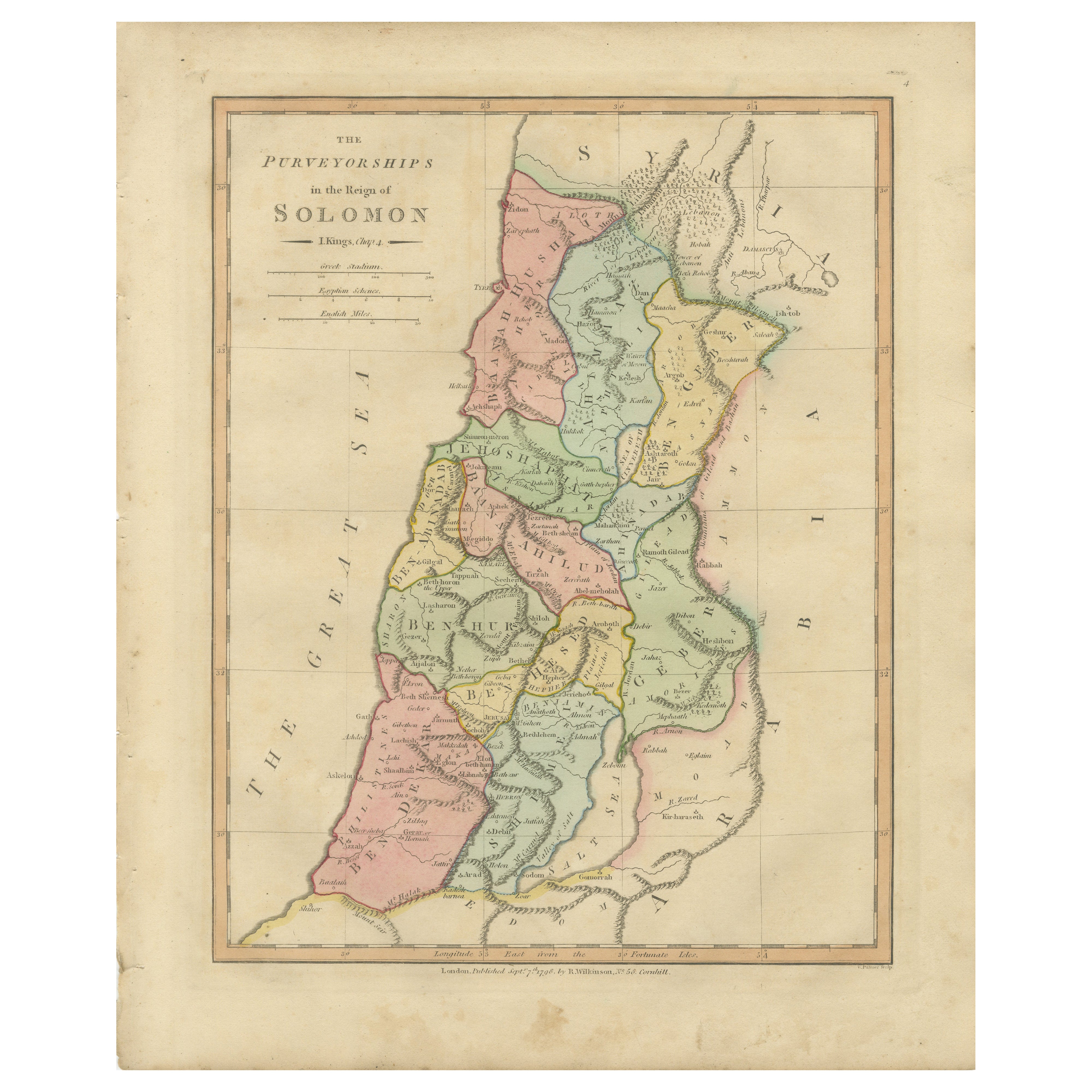
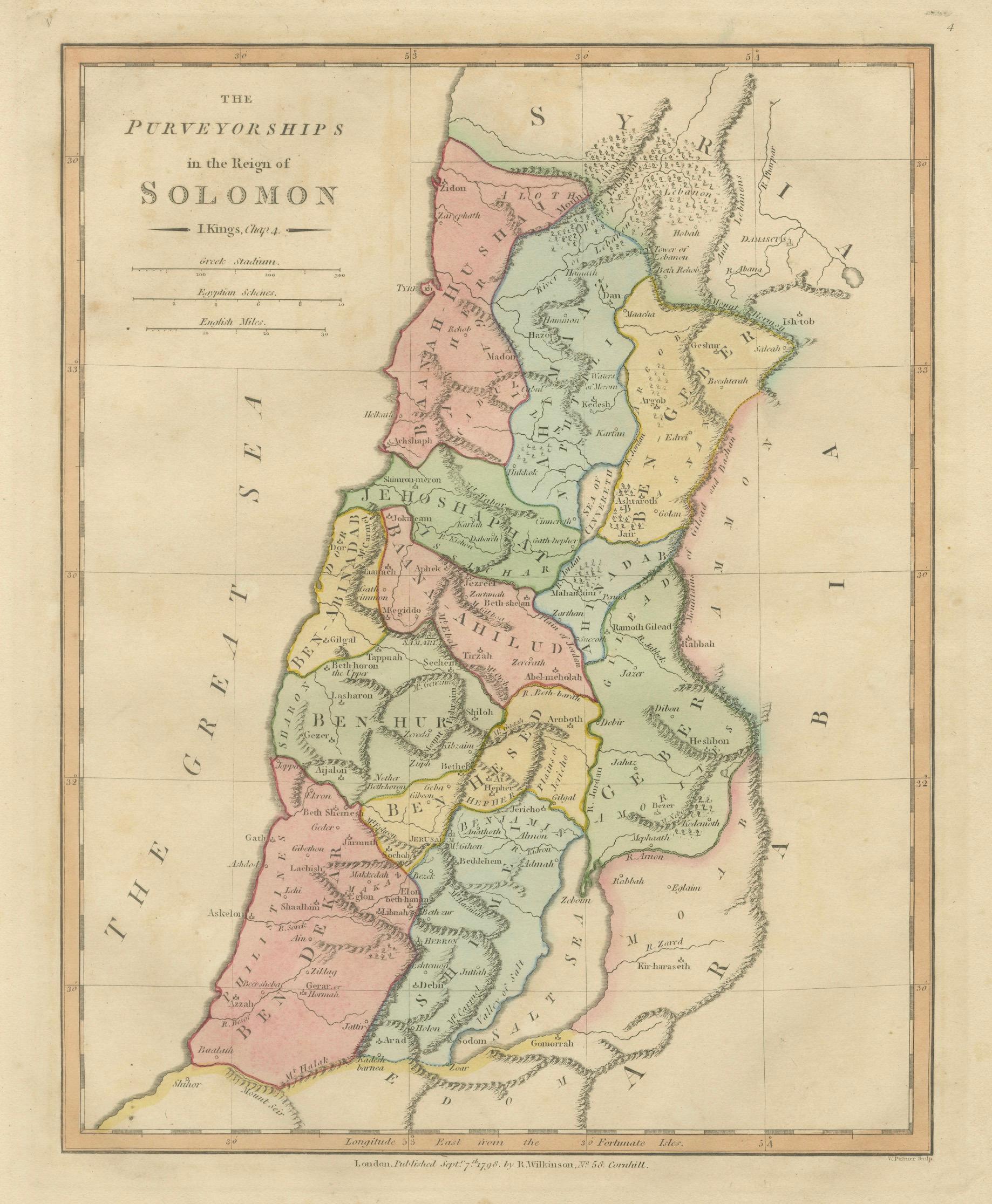
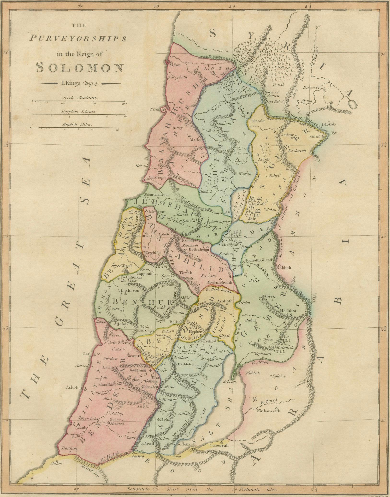
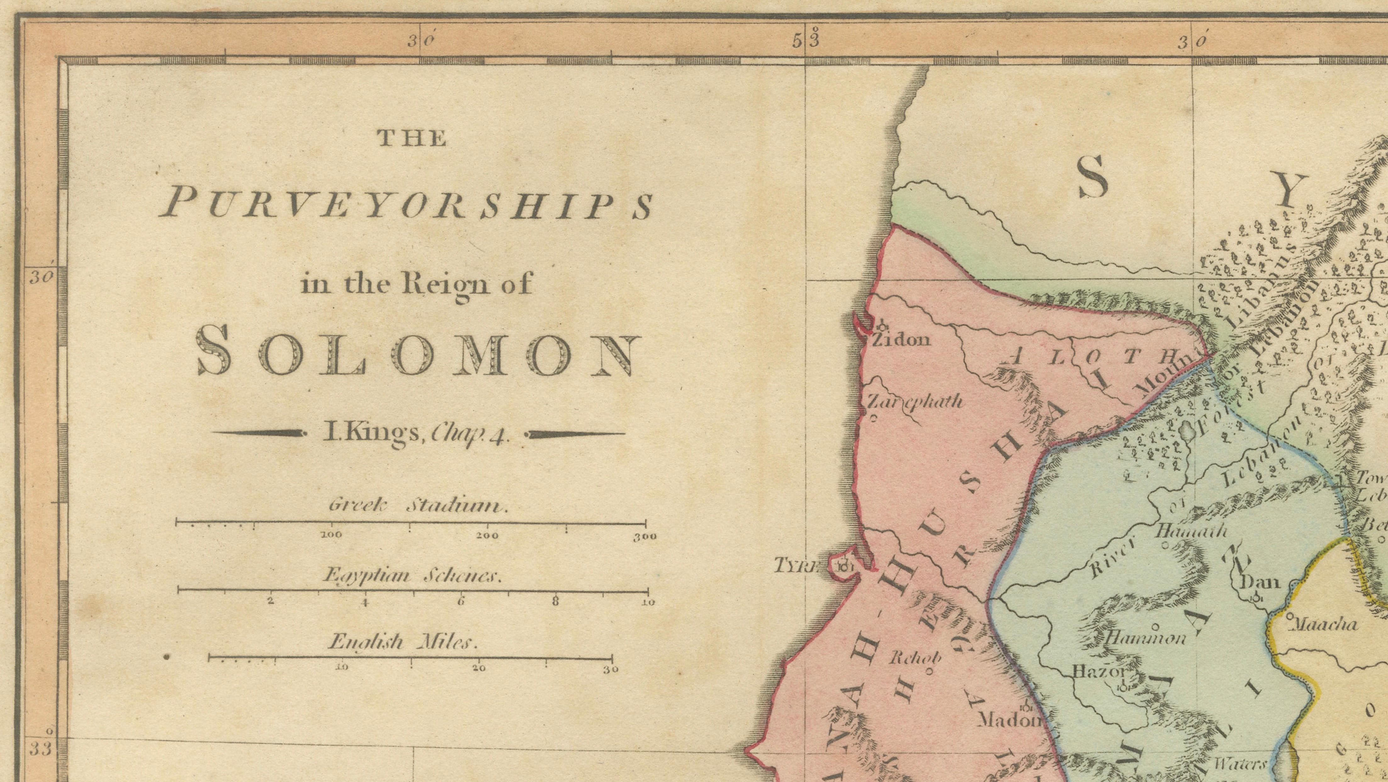
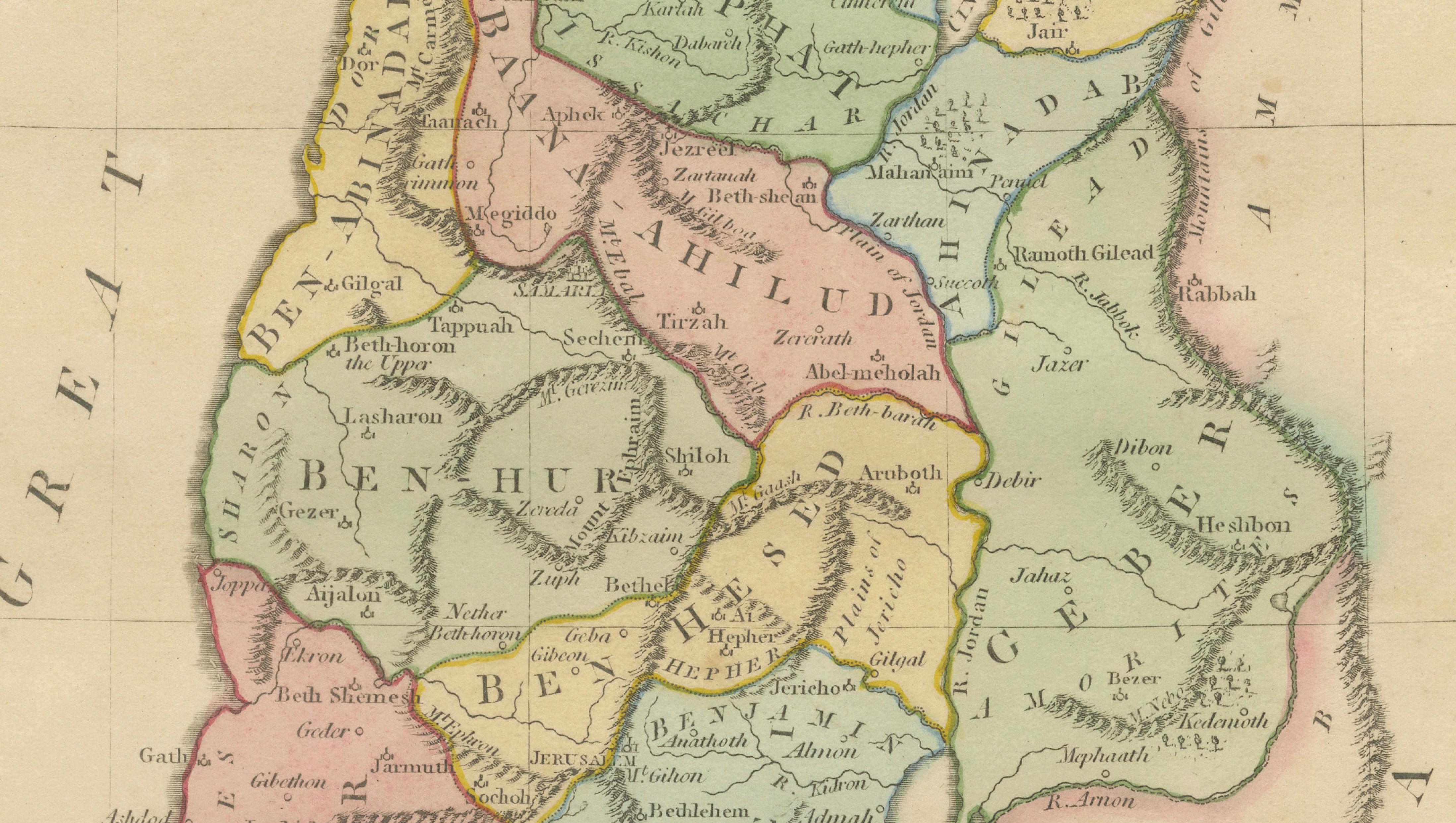
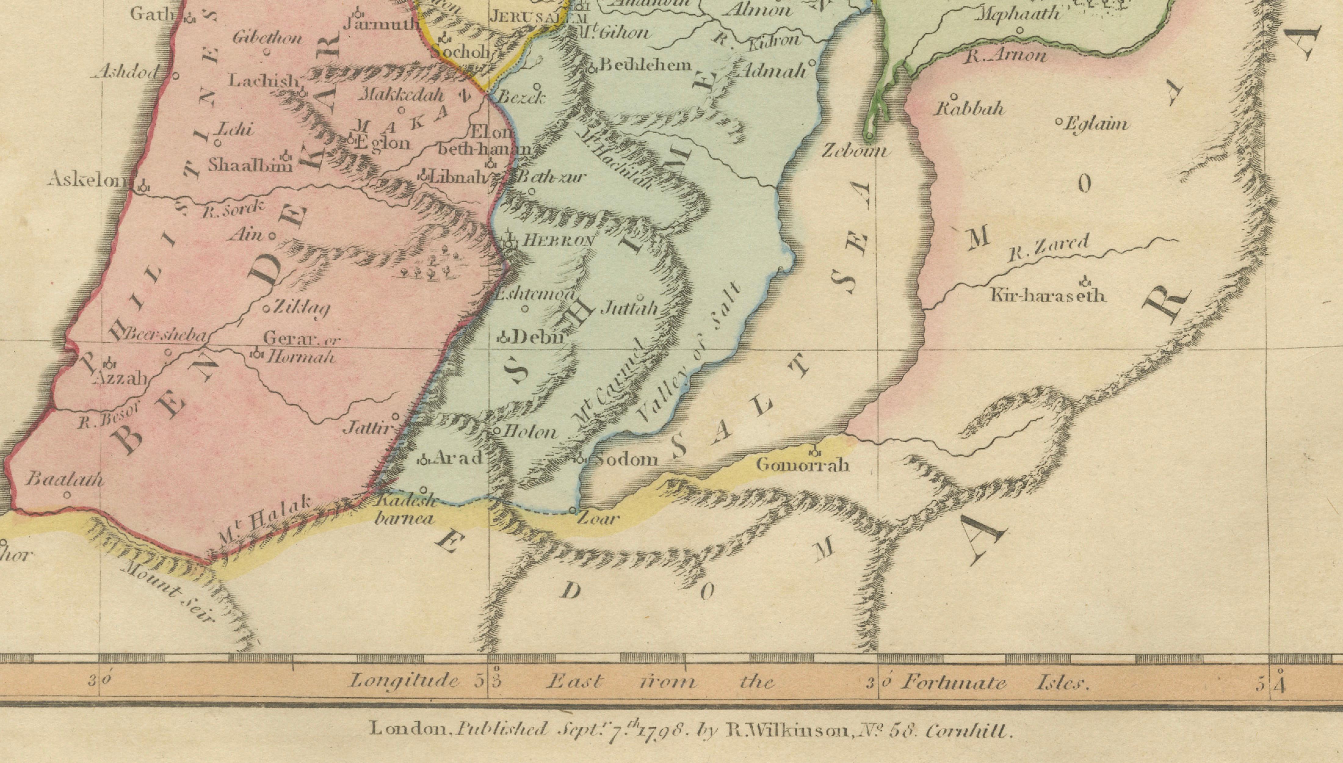
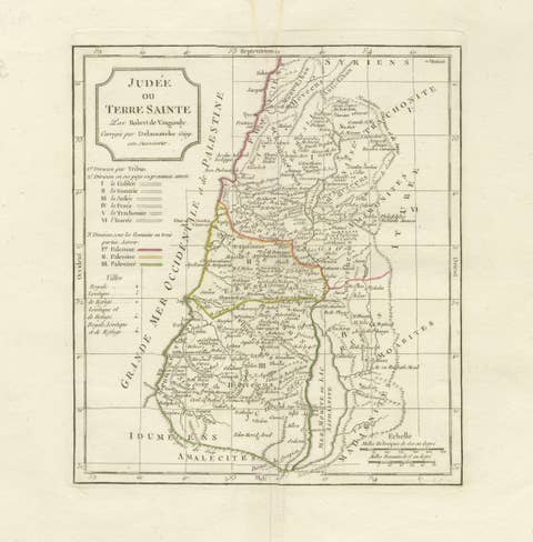
This finely engraved and delicately hand-colored biblical map titled “The Purveyorships in the Reign of Solomon (1 Kings, Chapter 4)” was published in London in 1827 as part of Wilkinson’s Atlas Classica, a scholarly atlas devoted to sacred and classical geography. The map illustrates the administrative divisions attributed to King Solomon’s reign, presenting a geographic interpretation of the regional districts responsible for supplying the royal court according to biblical tradition.
The composition focuses on the Holy Land, extending from the Mediterranean coast across Judea, Samaria, and Galilee toward the Jordan Valley and eastern territories. Distinct administrative regions are highlighted through soft period hand coloring, allowing viewers to visualize the organizational structure described in the Old Testament. Numerous biblical locations are identified with remarkable detail, including Jerusalem, Bethel, Shechem, Megiddo, Hebron, Jericho, and many smaller settlements that played important roles in ancient Israelite history.
Executed in refined copperplate engraving typical of early nineteenth-century London atlas production, the map combines elegant typography, precise line work, and balanced composition. The restrained decorative style emphasizes clarity and scholarly intent while maintaining strong visual appeal. Such sacred geography maps were created as educational tools to accompany biblical study, helping readers understand historical narratives within a geographic framework.
Maps depicting specific administrative or historical phases of biblical history are particularly appealing to collectors because they provide narrative context rather than purely geographic representation. This example offers insight into the political and administrative organization of Solomon’s kingdom, making it both historically informative and visually engaging.
The vertical format and harmonious pastel coloring make this an excellent standalone decorative work or a compelling companion to other biblical maps from the same Wilkinson series. It integrates beautifully into both traditional and contemporary interiors, particularly curated gallery walls or library settings.
Condition report: Good overall condition for age. Light age toning and minor foxing consistent with early nineteenth-century paper. Minor marginal wear from atlas removal. Original hand color remains fresh and attractive.
Framing tips: A dark walnut or deep brown frame paired with a generous ivory or off-white mat enhances the pastel coloring and provides a refined museum-style presentation suitable for luxury or classic interiors.
Technique: Copperplate engraving with original hand color
Maker: Wilkinson, London, 1827
Keyword block (important places and regions visible on the map):
Purveyorships of Solomon, Kingdom of Israel, Jerusalem, Judea, Samaria, Galilee, Holy Land, Canaan, Israelite administration, Solomon, 1 Kings Chapter 4, Mediterranean Sea, Philistia, Gaza, Ashkelon, Ashdod, Joppa, Tyre, Sidon, Jordan River, Dead Sea, Sea of Galilee, Gilead, Bashan, Moab, Edom, Ammon, Transjordan, Negev Desert, Mount Carmel, Mount Tabor, Mount Hermon, Nazareth, Bethel, Shiloh, Shechem, Megiddo, Gilgal, Gibeon, Ramah, Mizpah, Beersheba, Hebron, Jericho, Bethlehem, Emmaus, Bethany, Ephraim, Manasseh, Judah, Benjamin, Simeon, Dan, Naphtali, Zebulun, Issachar, Asher, Reuben, Gad, Valley of Jezreel, Sharon Plain, Samarian Highlands, Judean Hills, Jordan Valley, Mount Zion, Philistine Plain, ancient Israel, biblical geography, sacred geography.