About this sheet
Canaan from Joshua to the Babylonian Captivity — Biblical Holy Land Map, London 1823
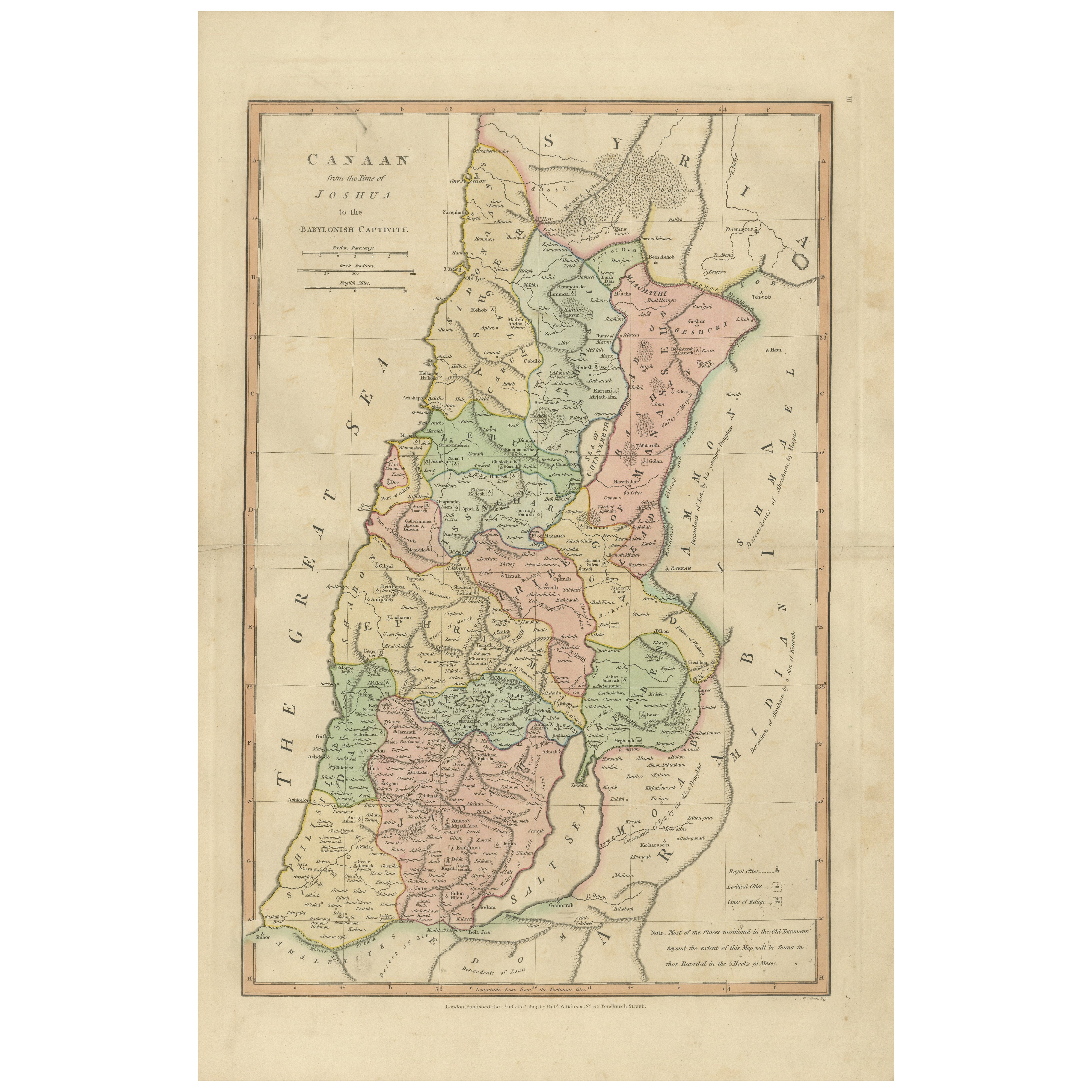
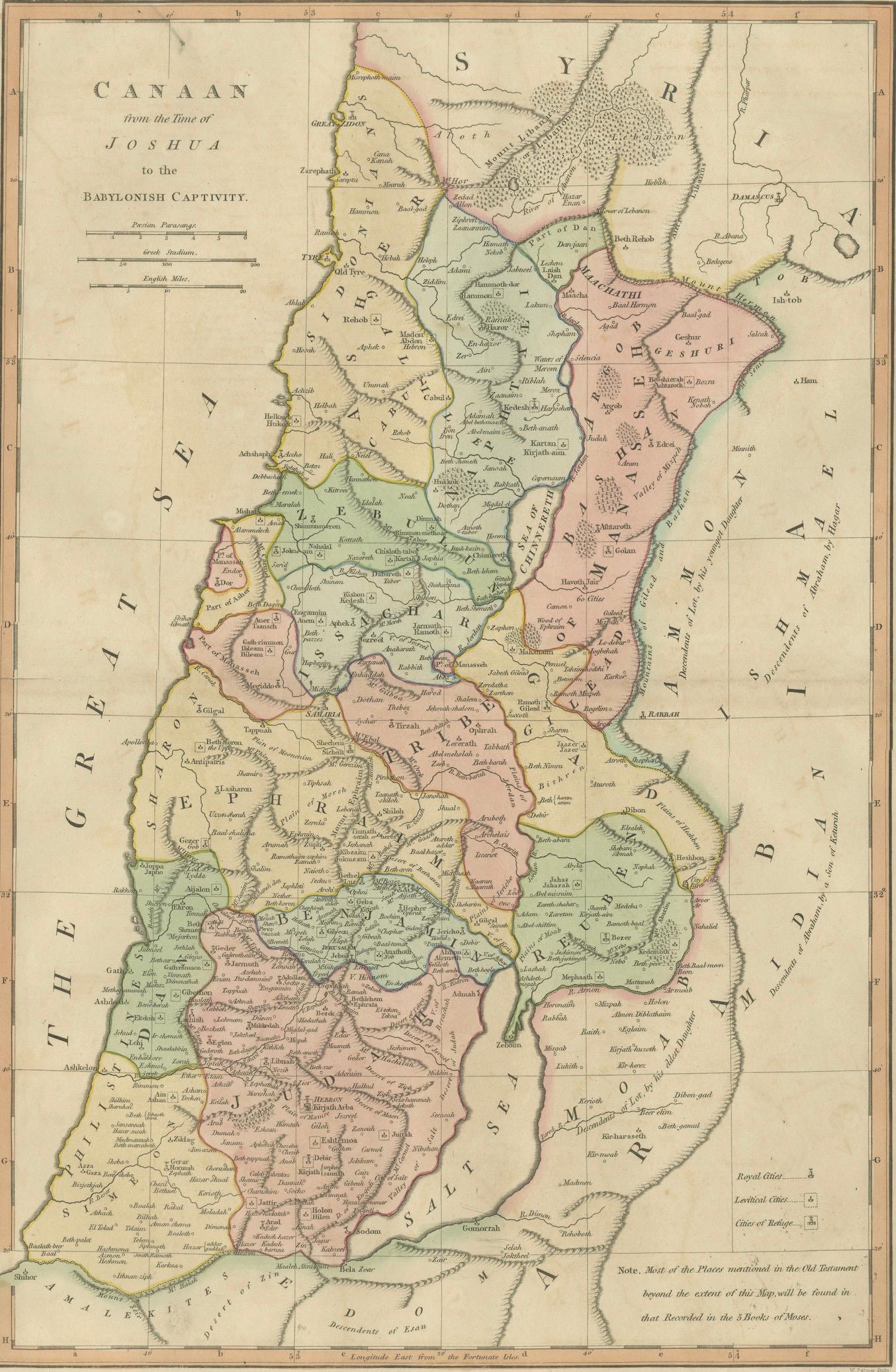
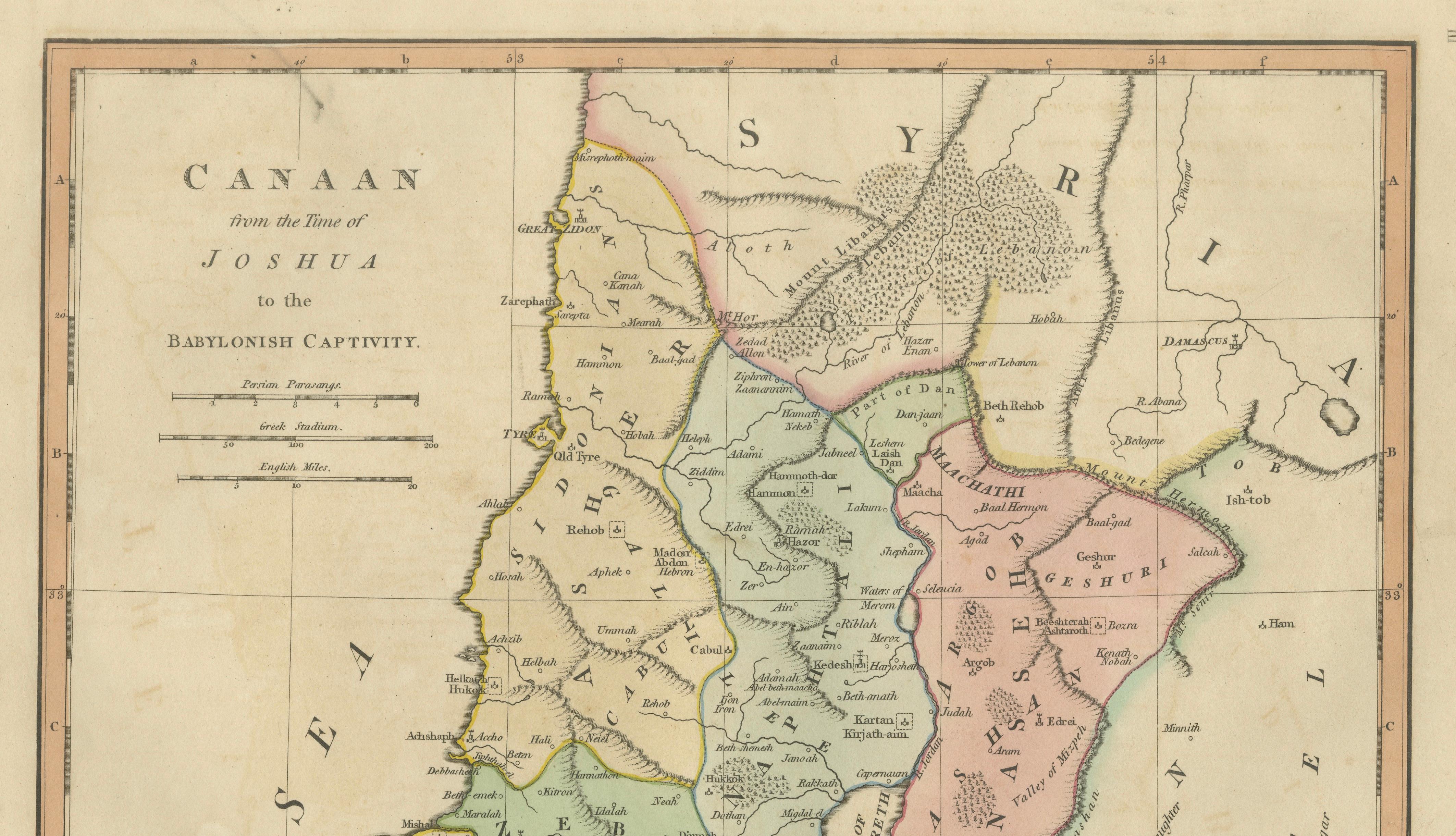
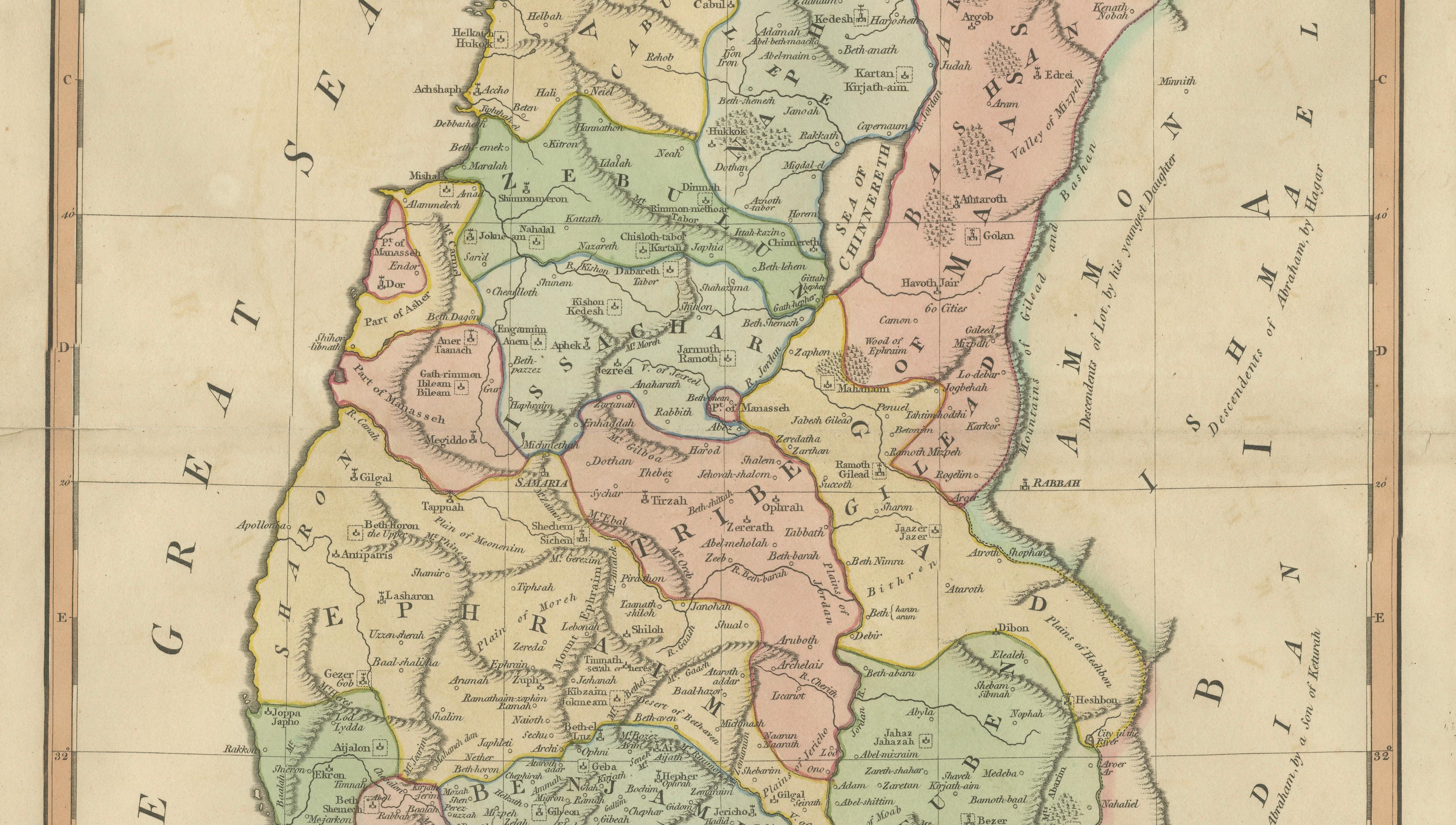
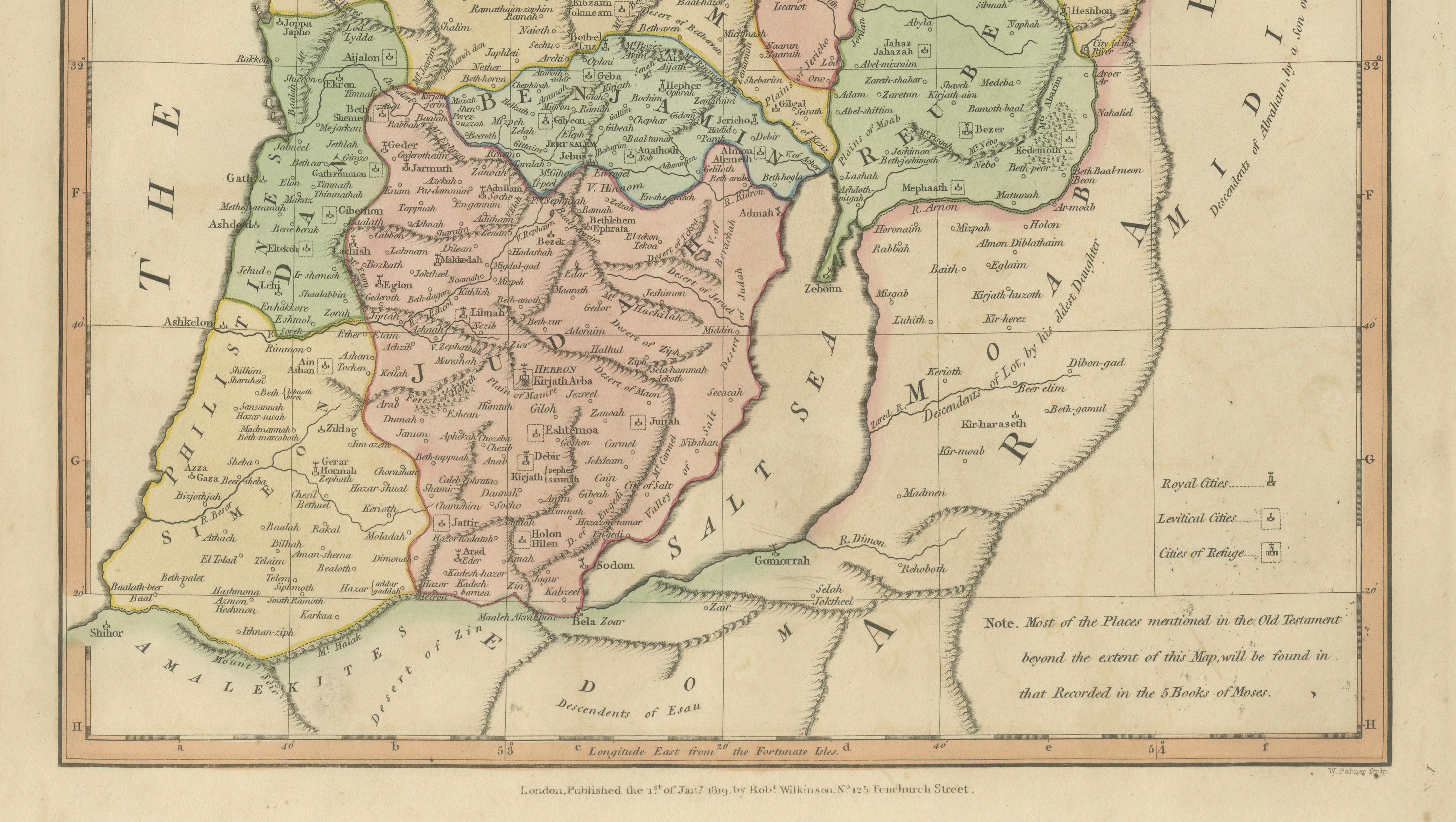
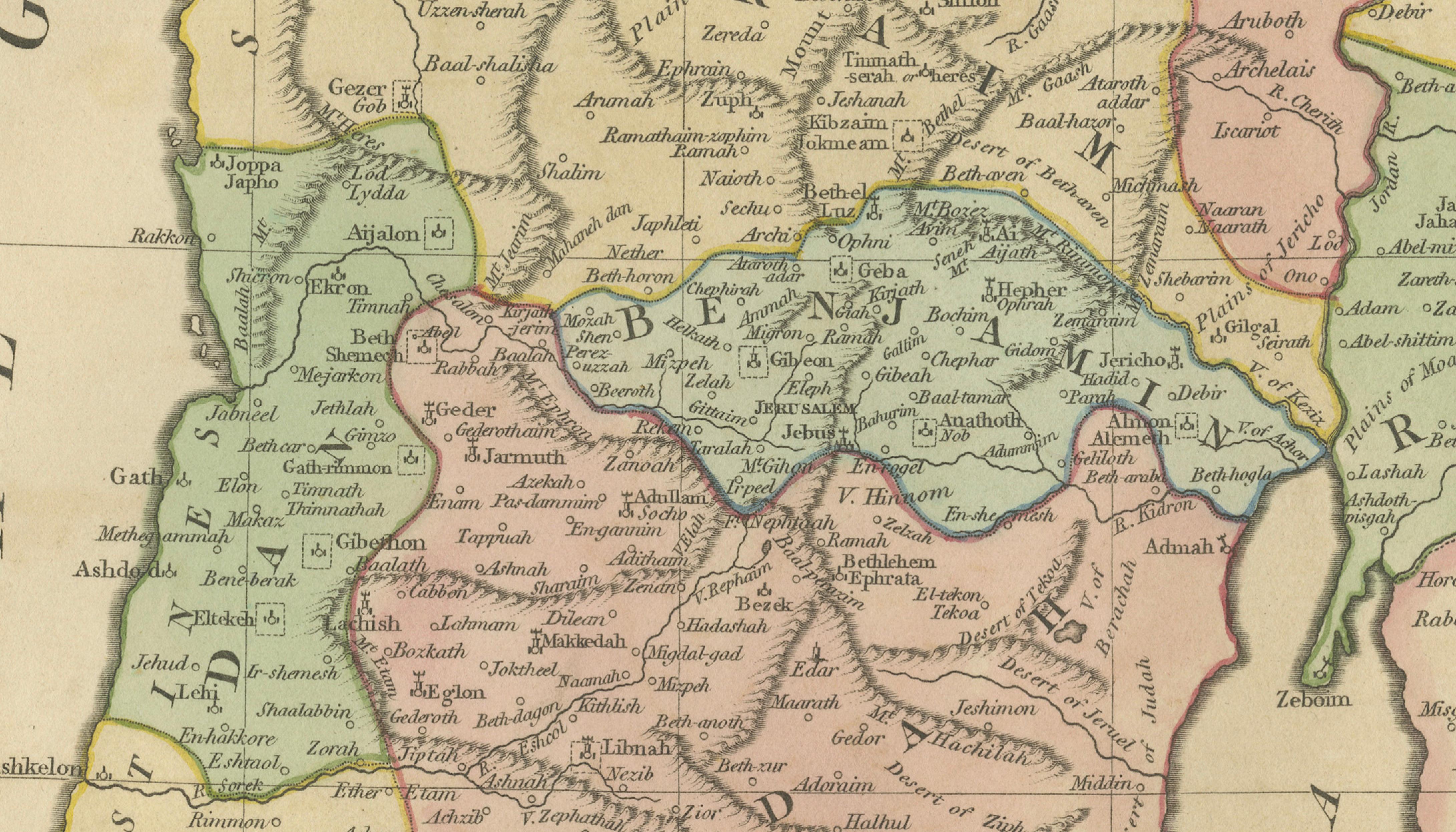
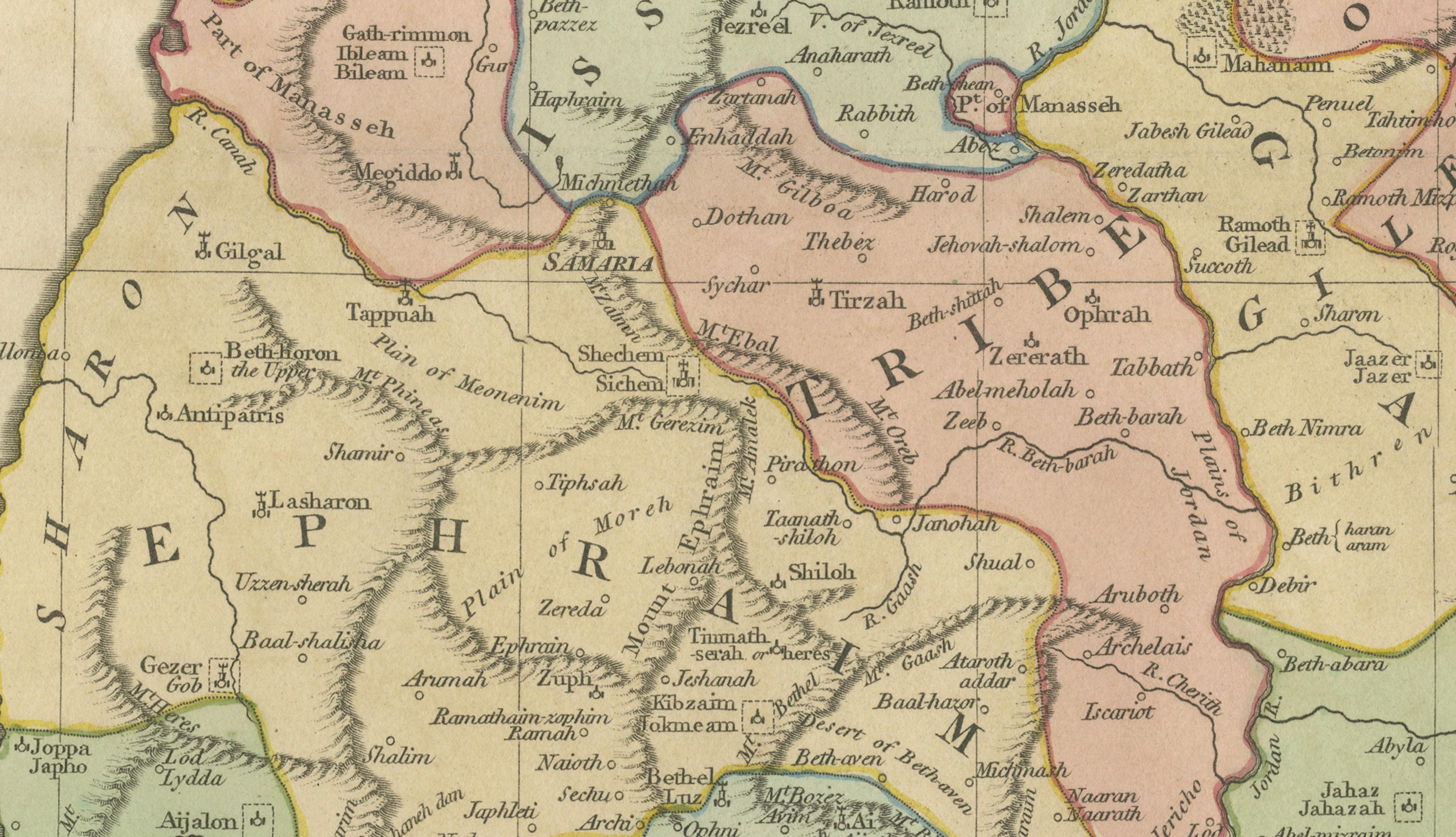
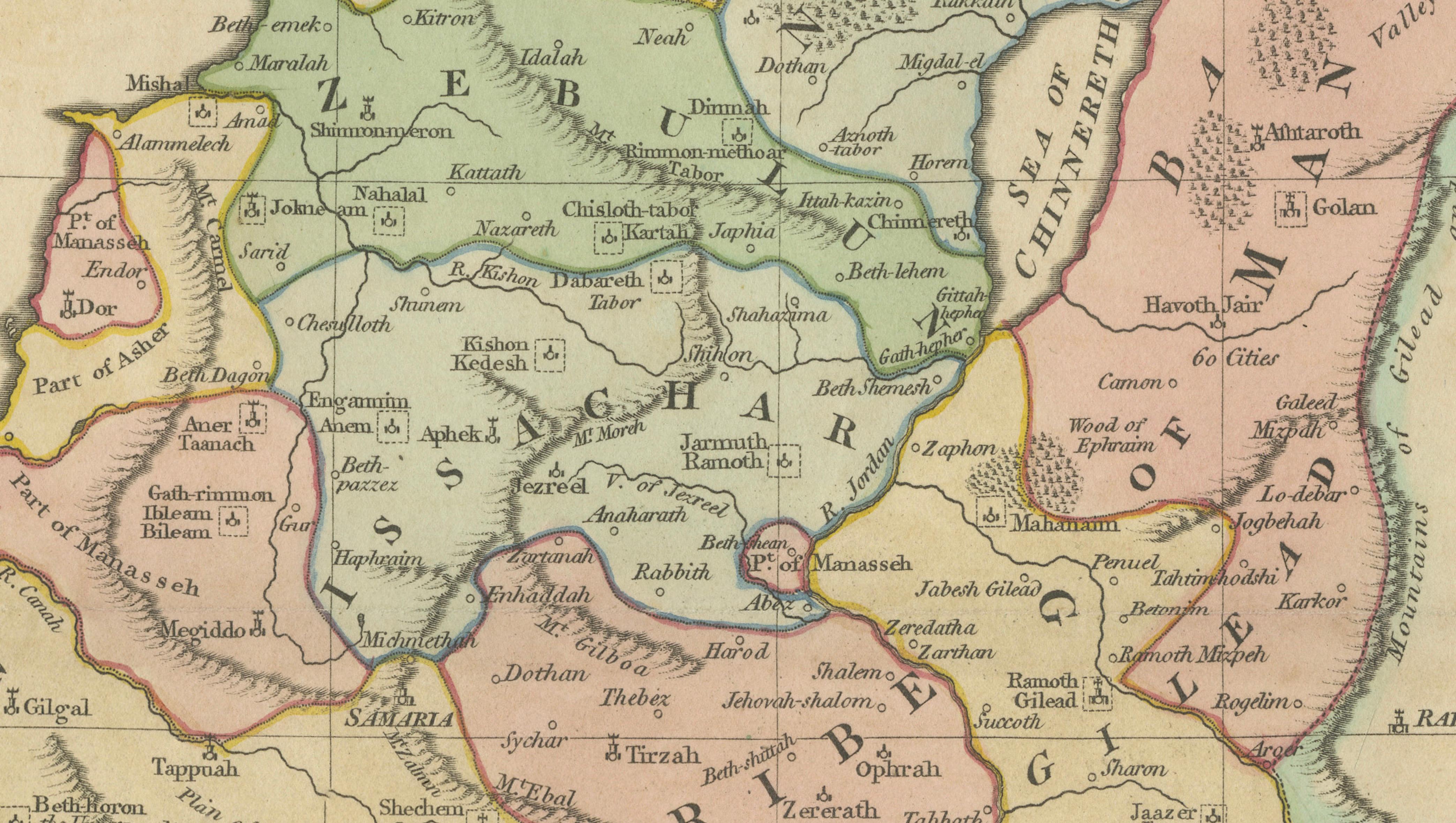
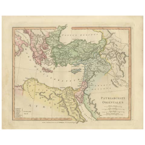
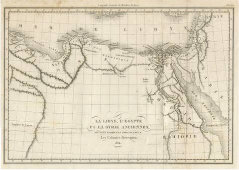
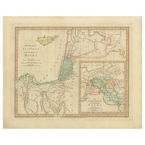
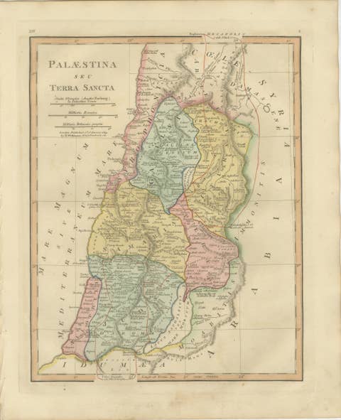
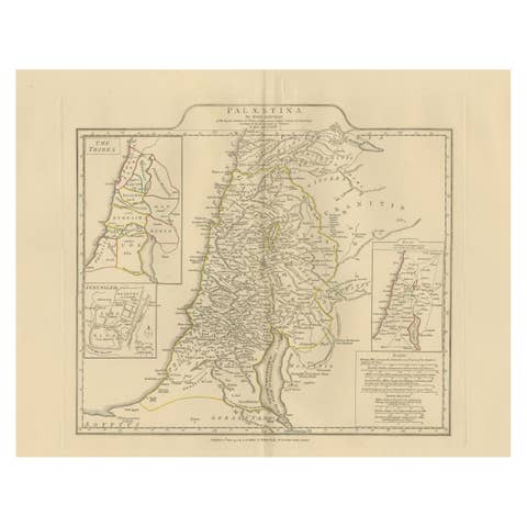
This finely engraved and delicately hand-colored biblical map titled “Canaan from the Time of Joshua to the Babylonish Captivity” was published in London in 1827 as part of Wilkinson’s Atlas Classica, a scholarly atlas devoted to sacred and classical geography. The map illustrates the historical geography of the Holy Land during one of the most significant periods of biblical history, tracing territorial divisions and political regions associated with the Israelite kingdoms from the era of Joshua through the Babylonian exile.
The composition presents a detailed depiction of ancient Canaan extending from the Mediterranean coast across Judea, Samaria, and Galilee toward the Jordan Valley and Transjordan territories. Tribal boundaries and regional divisions are clearly differentiated through soft period hand coloring, allowing the viewer to visualize the geographic structure of biblical narratives. Numerous historical locations appear throughout the map, including Jerusalem, Hebron, Bethlehem, Jericho, Samaria, Gaza, and Damascus, alongside smaller settlements and regional designations linked to Old Testament accounts.
Executed in refined copperplate engraving, the map exemplifies early nineteenth-century English atlas production, characterized by clarity, elegant typography, and balanced composition. The restrained decorative style emphasizes readability and scholarly purpose, reflecting Enlightenment-era efforts to reconcile scriptural history with geographic knowledge. The pastel color palette provides both aesthetic harmony and functional clarity, distinguishing territorial regions without overwhelming the visual field.
Biblical maps focusing on specific historical periods are particularly sought after by collectors, as they provide a narrative framework rather than a purely geographic overview. This example represents an important educational and devotional tool from the period, designed to assist readers in understanding the historical progression of biblical events within a geographic context.
The vertical orientation and refined coloring make this map ideal as a standalone decorative work or as part of a curated grouping of biblical maps. It integrates beautifully into both traditional and contemporary interiors, especially sophisticated gallery settings or library environments.
Condition report: Good overall condition for age. Central fold as issued. Light age toning and minor foxing consistent with early nineteenth-century paper. Marginal wear from atlas removal. Original hand color remains fresh and attractive. The watermark shows the number 1823.
Framing tips: A dark walnut or warm brown frame paired with a generous ivory mat enhances the pastel coloring and creates a museum-quality presentation suitable for luxury or classic interiors.