About this sheet

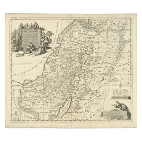
Sanson & Schenk Biblical Map of the Twelve Tribes of Israel, circa 1700
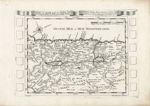
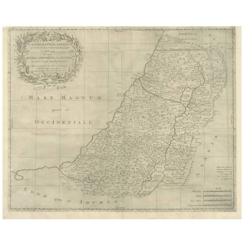
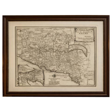
A beautifully engraved and richly detailed antique map of the Holy Land and the Twelve Tribes of Israel, originally based on the celebrated cartography of Nicolas Sanson and later published by the distinguished Amsterdam engraver and publisher Petrus Schenk in the late 17th or early 18th century.
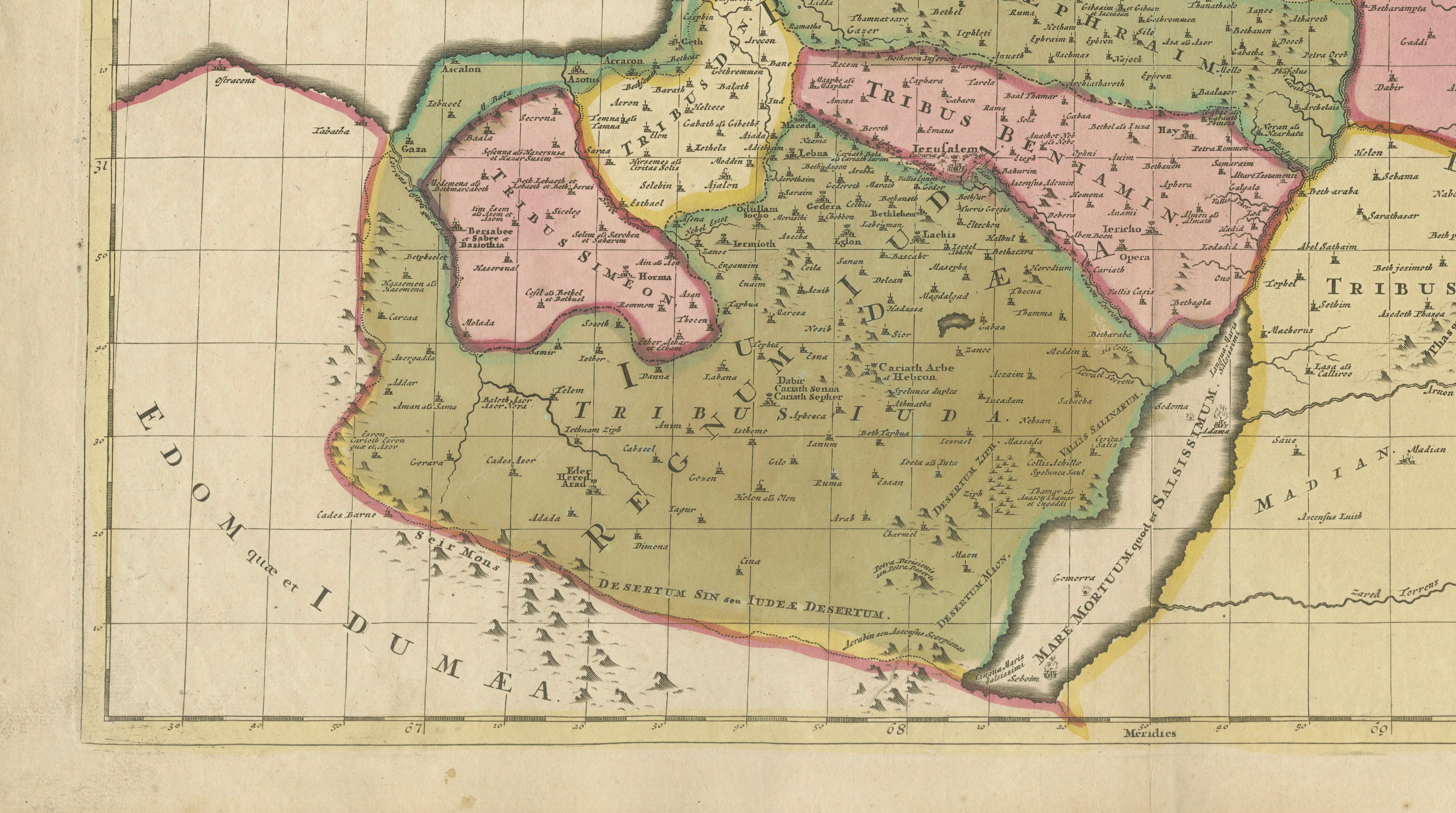
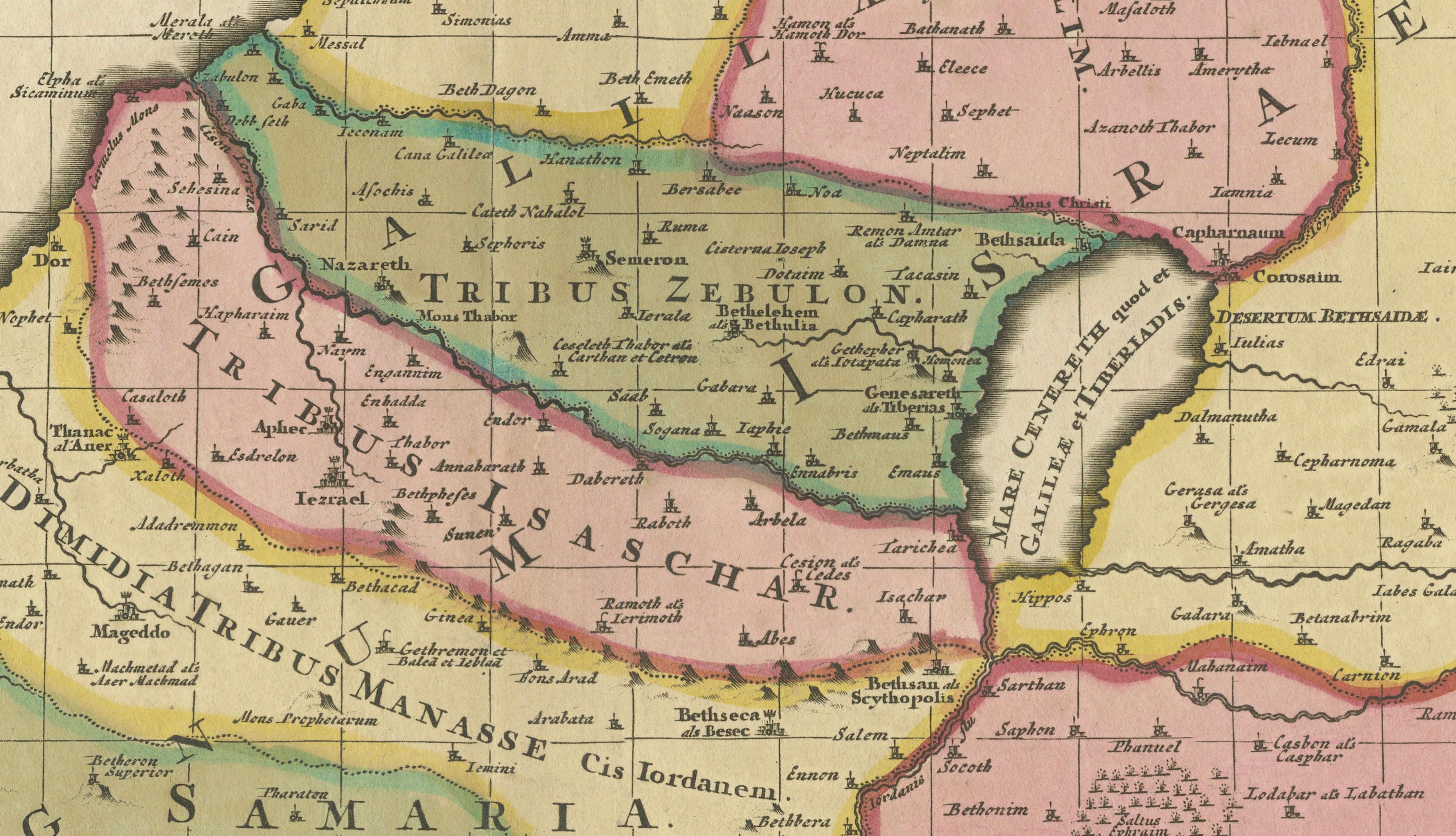
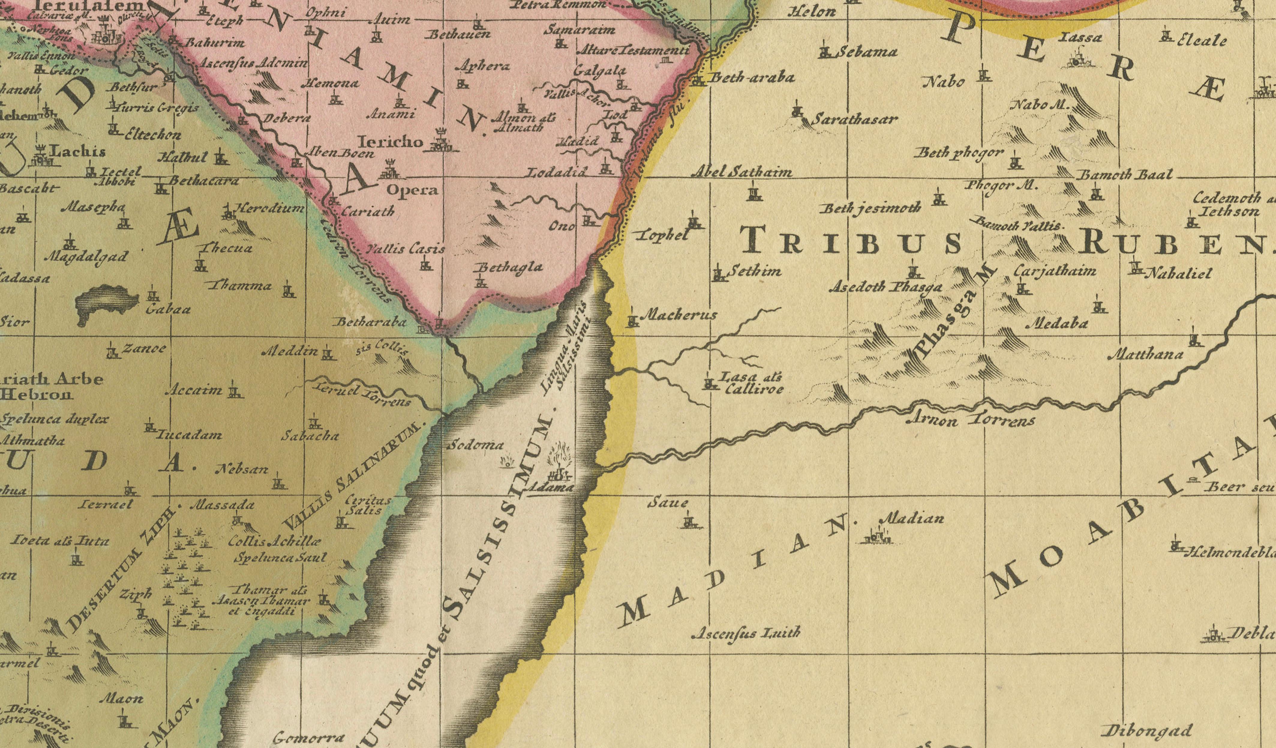
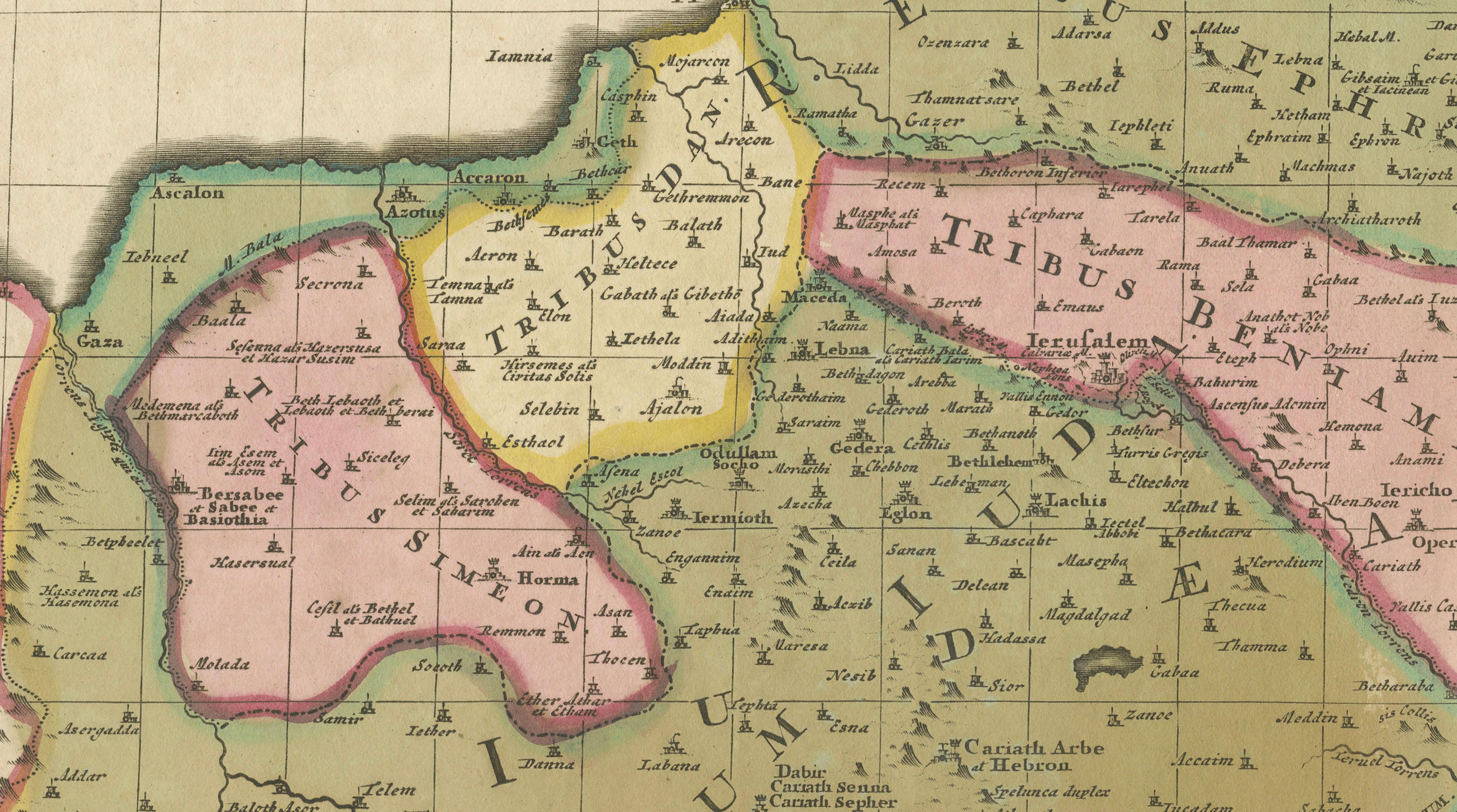
The map presents the biblical lands of ancient Israel divided among the Twelve Tribes, extending from the Mediterranean coast to the deserts east of the Jordan River. Tribal territories including Judah, Benjamin, Ephraim, Manasseh, Gad, Reuben, Zebulon, and Asher are carefully delineated in fine original hand color, while major biblical locations such as Jerusalem, Jericho, Bethlehem, Nazareth, Samaria, the Dead Sea, and the Jordan River are prominently identified throughout.
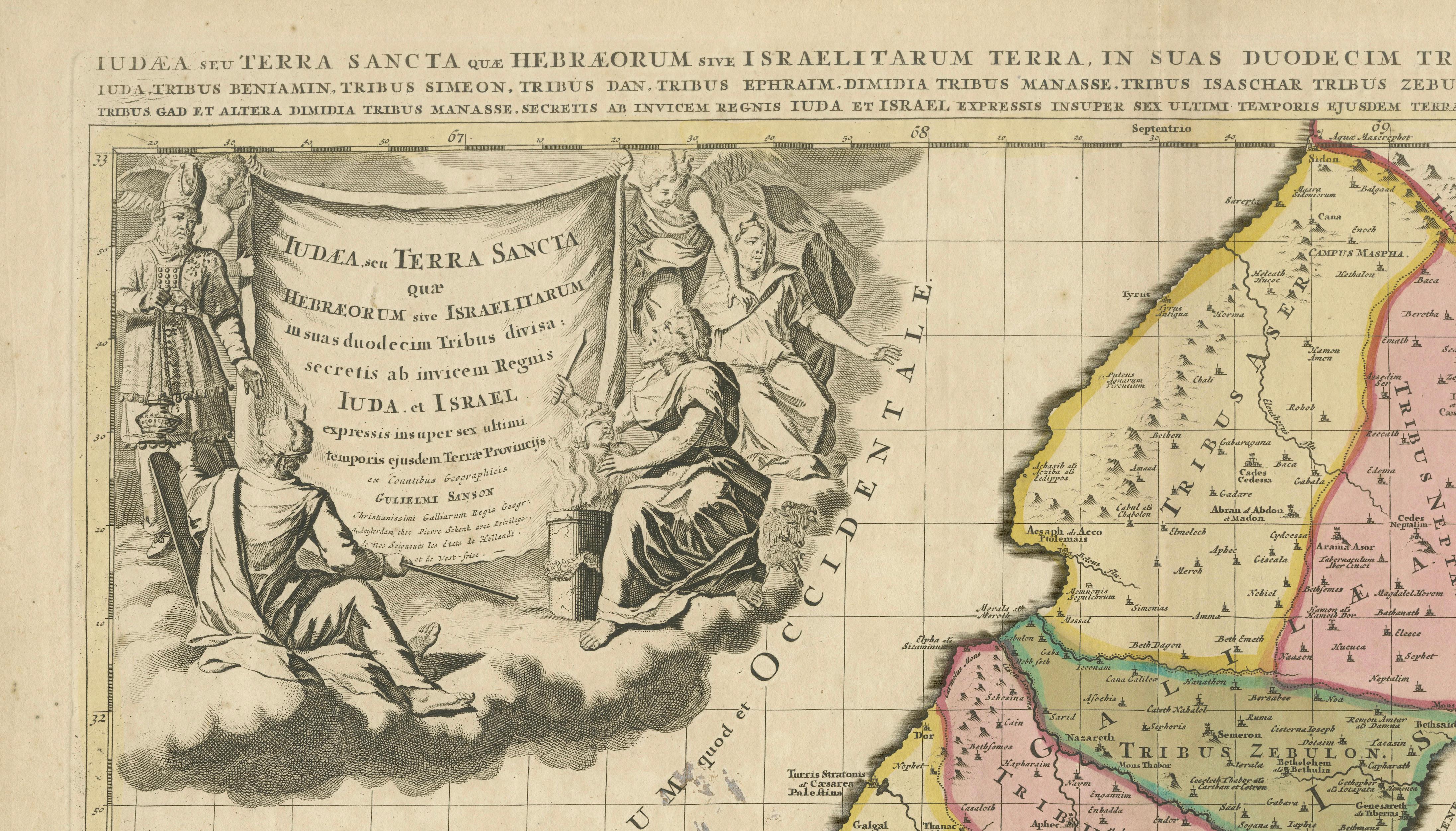
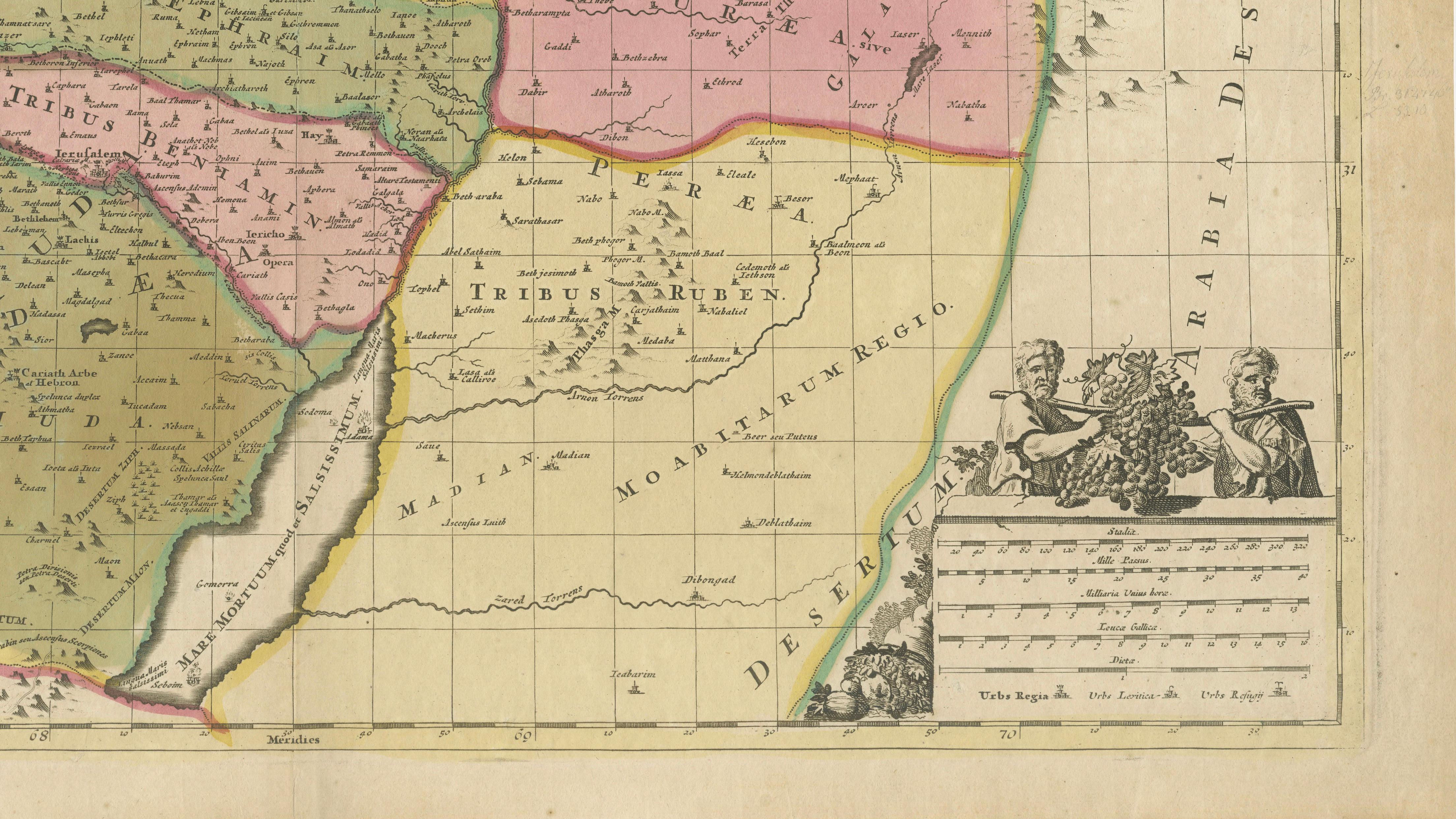
The engraving is enhanced by an elaborate allegorical title cartouche in the upper left corner featuring classical figures and drapery, while an ornate mileage scale with putti and decorative ornamentation appears in the lower right. The composition reflects the sophisticated aesthetic of Dutch Baroque cartography, combining scholarly geographical interpretation with elegant decorative engraving.
Originally created after Nicolas Sanson, often regarded as the father of French cartography, the map was later reissued by Petrus Schenk in Amsterdam, one of the most important Dutch map publishers of the period. Schenk’s editions are especially admired for their refined engraving quality and attractive original coloring.
Maps of the Holy Land held enormous importance during the 17th and 18th centuries, serving not only as geographical works but also as devotional and historical objects for scholars, clergy, and collectors. Today these large biblical maps remain highly sought after for both their decorative impact and historical significance.
The map displays exceptionally well in dark walnut, black lacquer, or lightly gilt frames paired with a wide ivory or oatmeal mat. Its soft original coloring and grand decorative cartouche make it particularly suitable for libraries, studies, religious interiors, or sophisticated gallery walls.
Condition: Good antique condition with age-related toning and light wear. Original center fold as issued. Minor occasional spotting and light marginal wear consistent with age. Original hand color remains attractive and vivid.
This is an original antique engraving, not a reproduction. Any framed images are shown for presentation and interior inspiration only.
Technique: Copper engraving with original hand color
Maker: Nicolas Sanson / Petrus Schenk, Amsterdam, late 17th-early 18th century