About this sheet

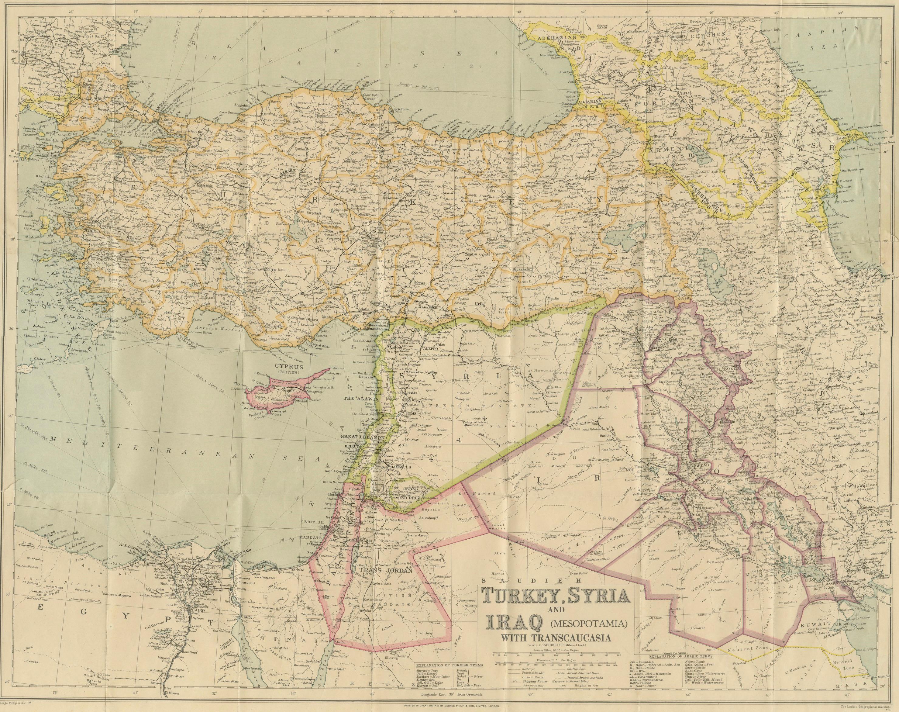
Philips' Imperial Map of Turkey, Syria, Iraq & Transcaucasia, c.1926
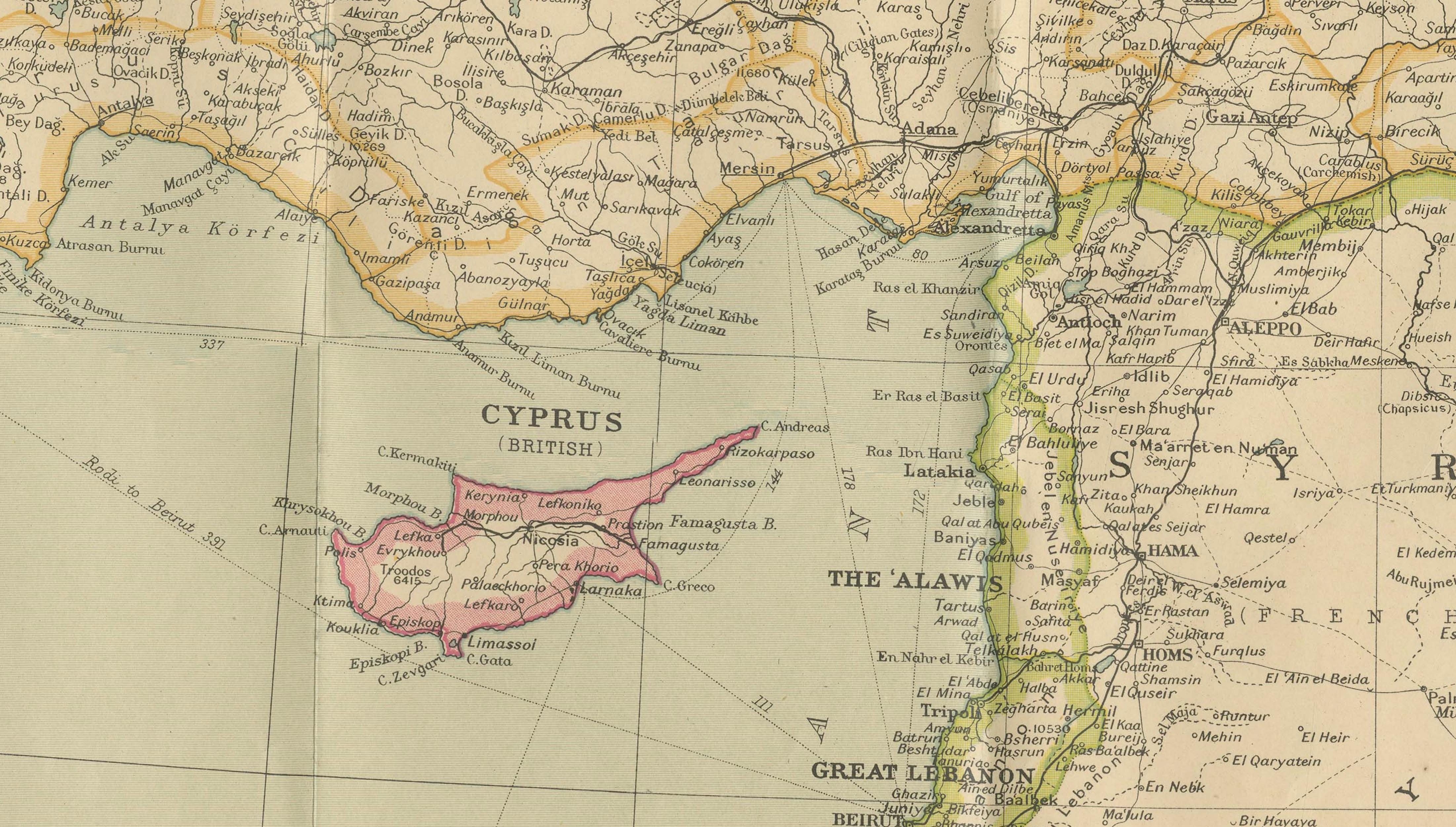
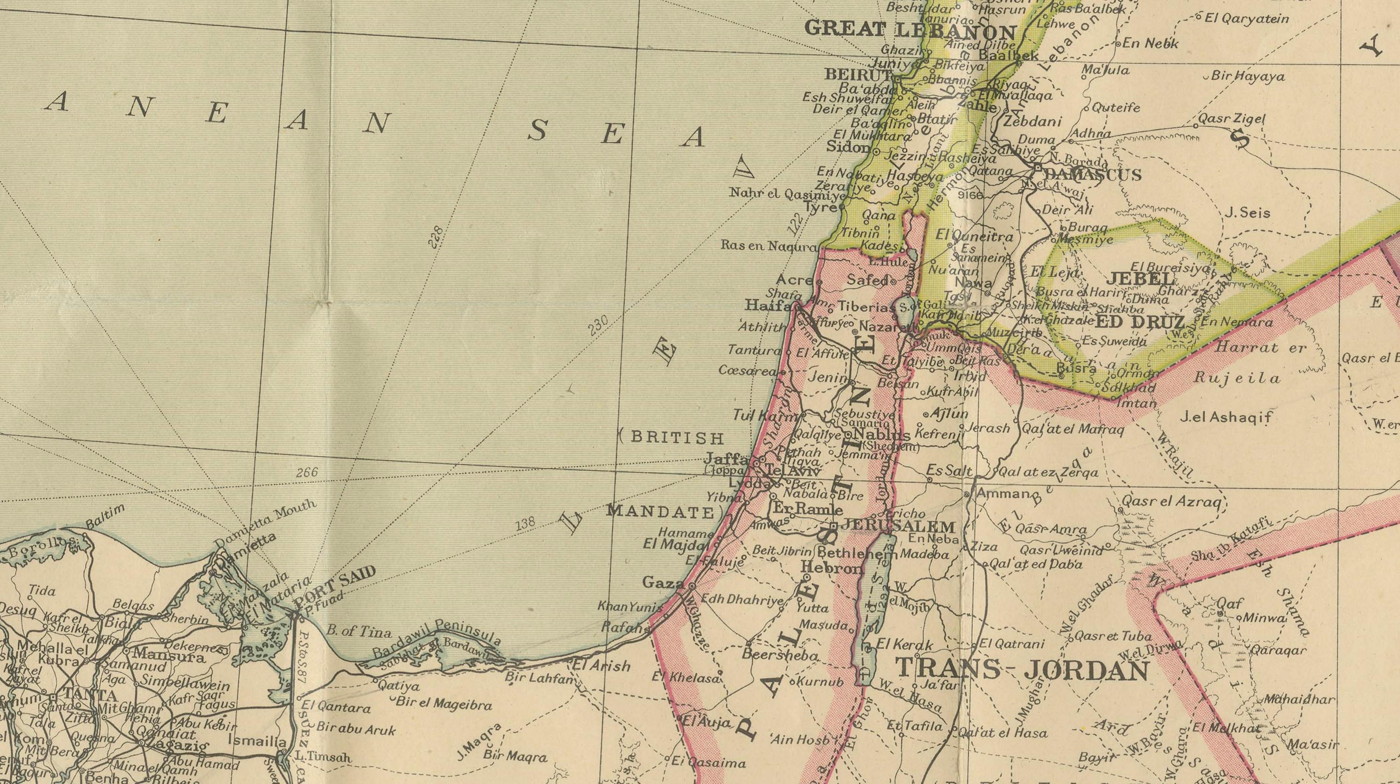
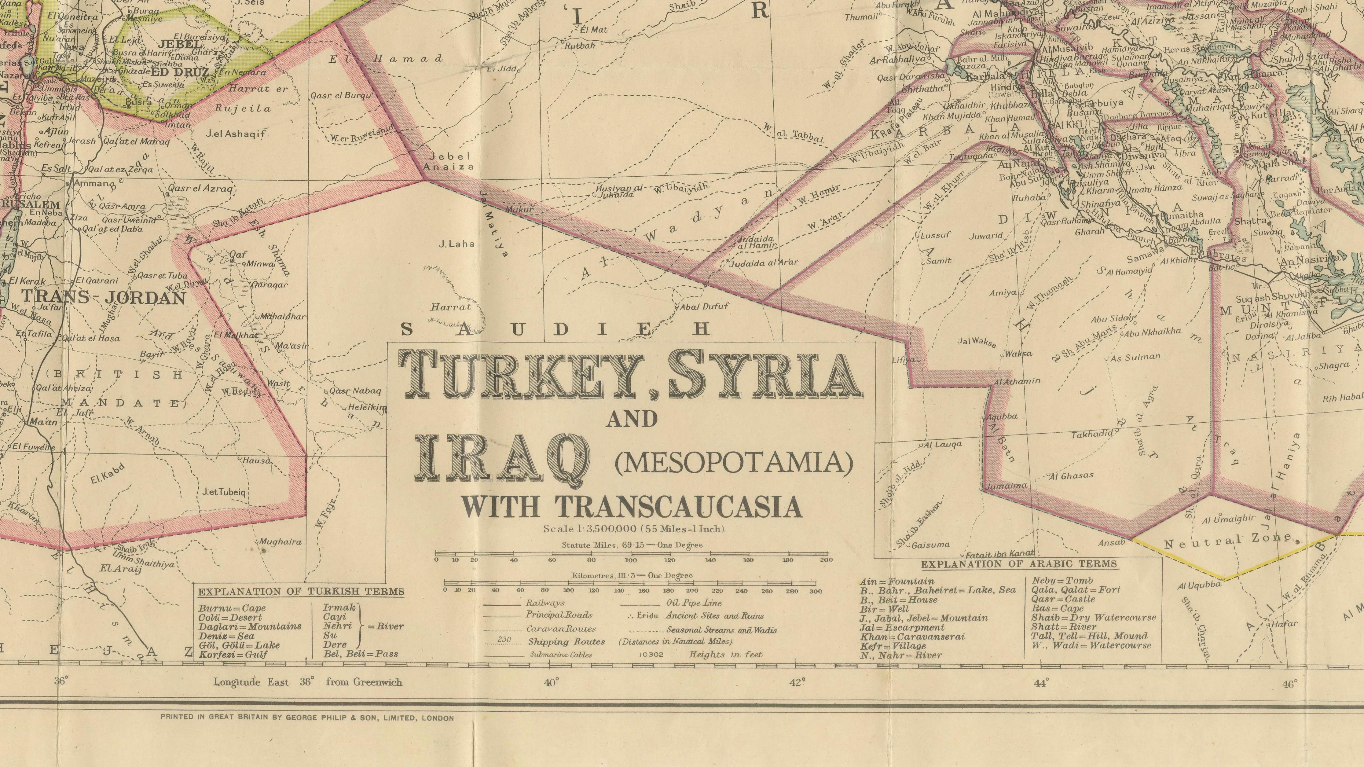
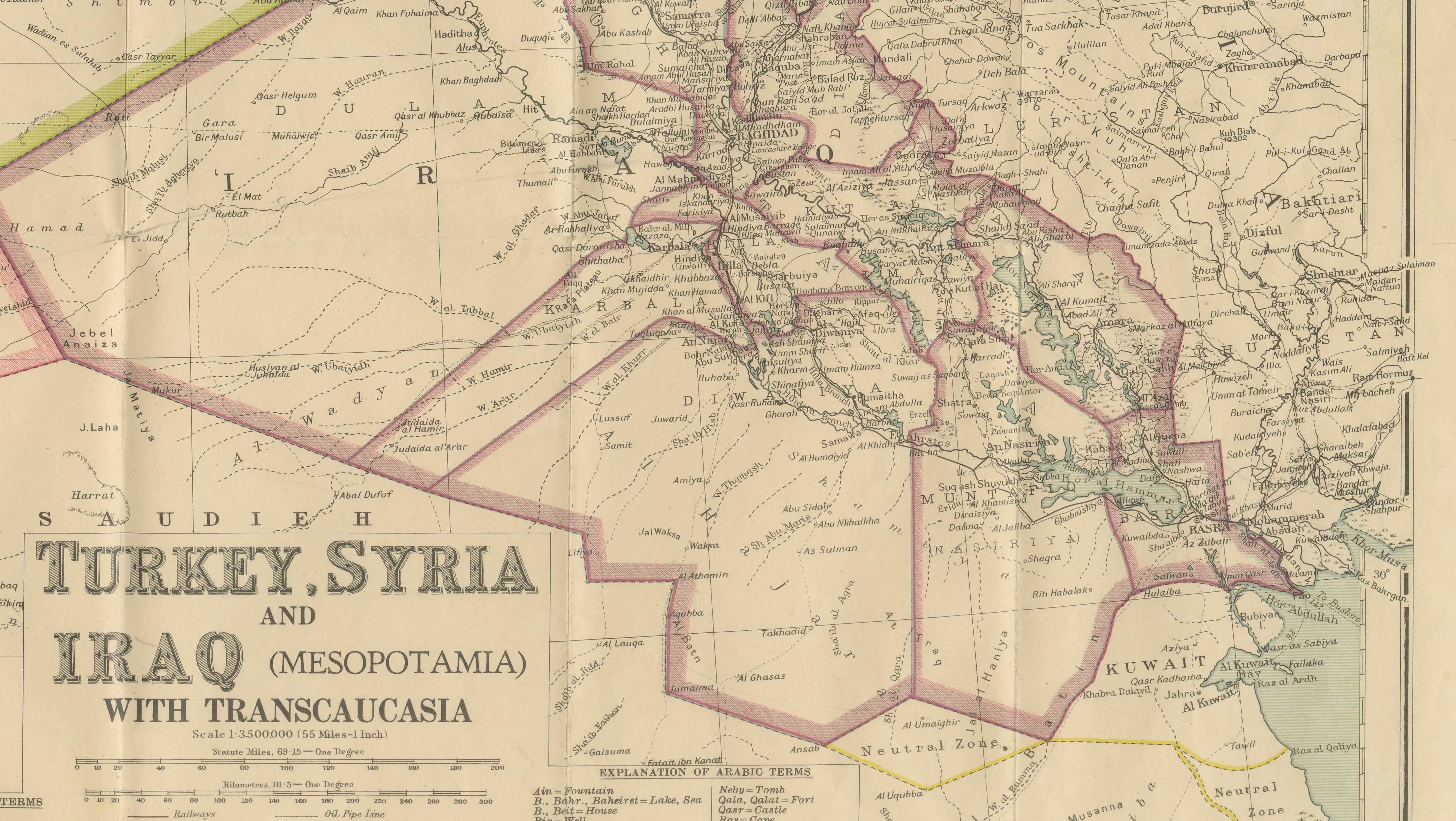
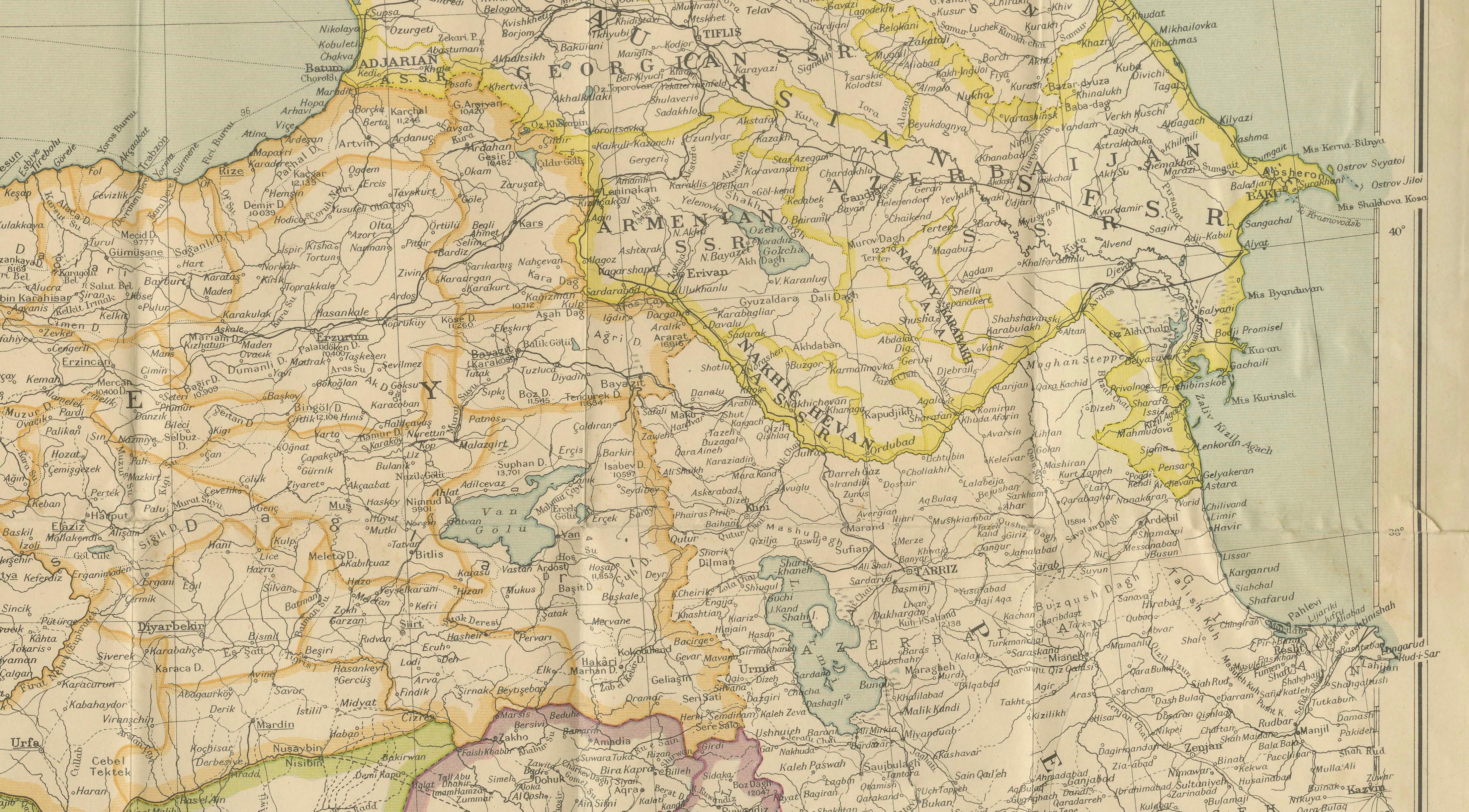
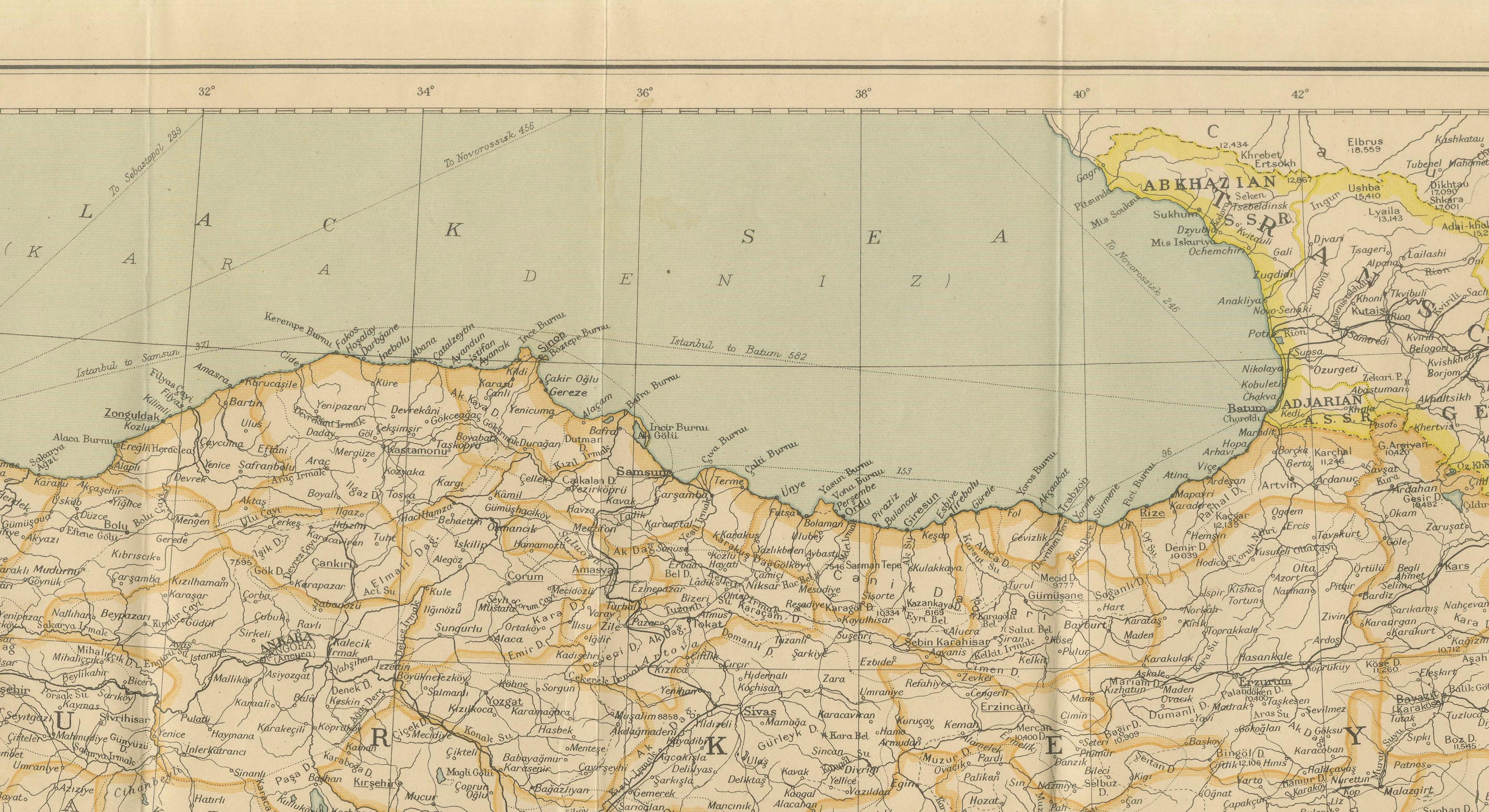
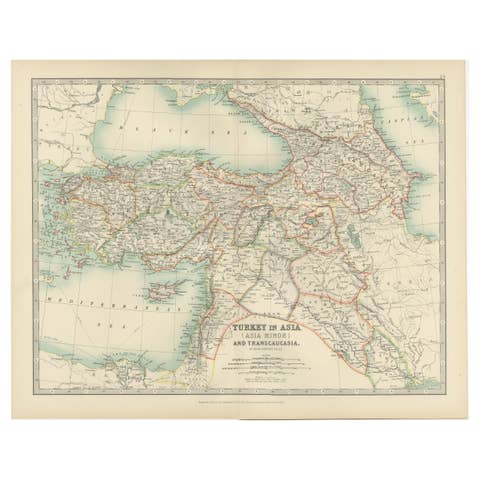
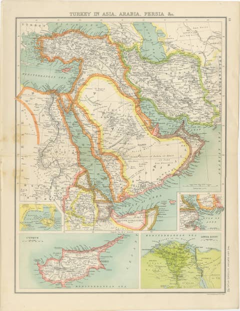
A large and highly detailed folding map of the Near East issued by George Philip & Son as part of their celebrated Philips' Authentic Imperial Maps for Tourists & Travellers series, depicting Turkey, Syria, Iraq (Mesopotamia), Palestine, Trans-Jordan, Cyprus, and the Transcaucasian regions including Armenia, Georgia, and Azerbaijan.
Published in London circa 1926, this map captures a pivotal historical moment in the aftermath of the dissolution of the Ottoman Empire and the establishment of new national boundaries under British and French mandates. Hand-colored border delineations emphasize the geopolitical transformations that reshaped the Middle East following the First World War.
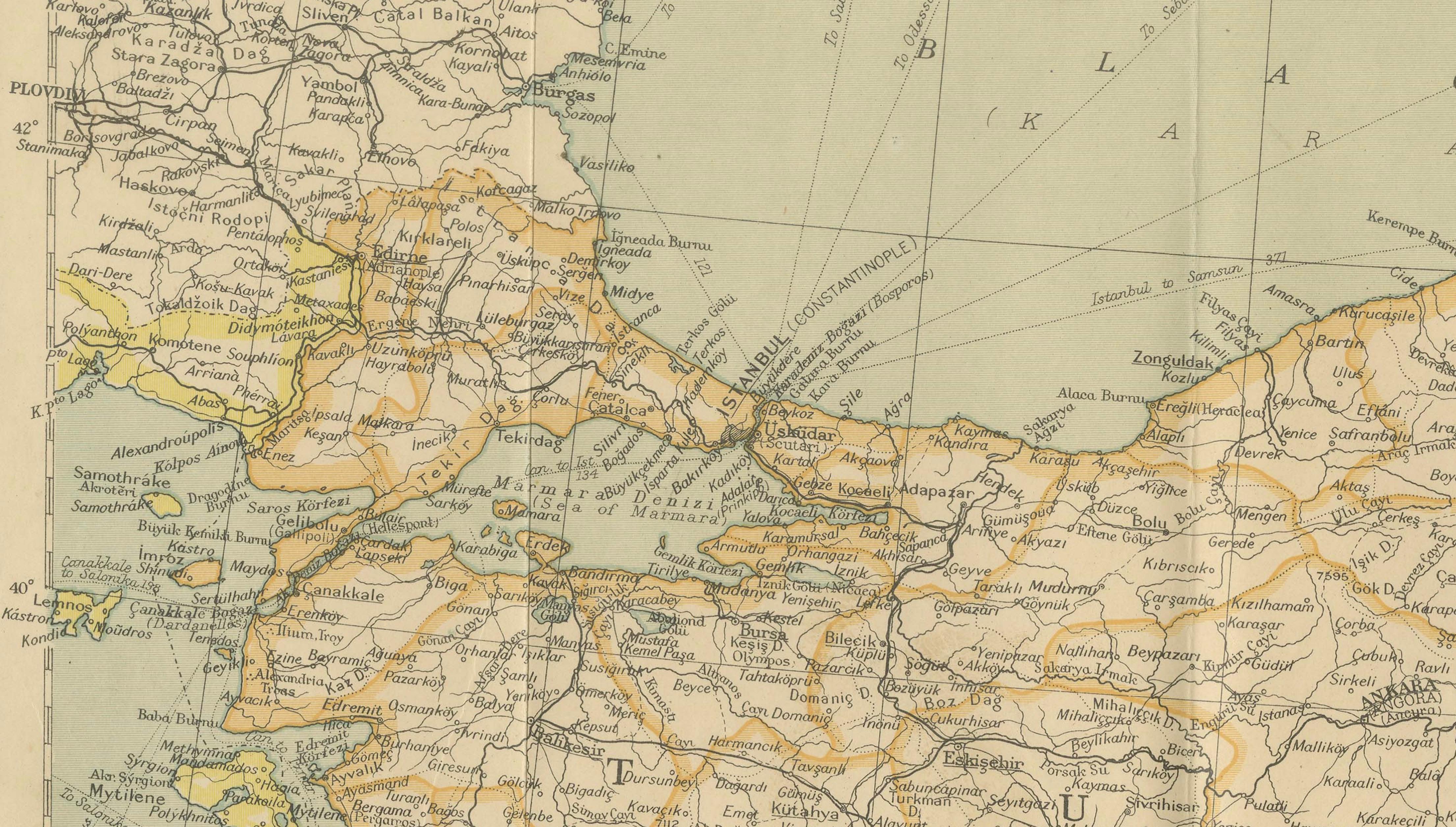
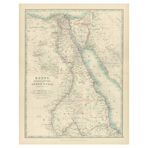
The map extends from Egypt and the eastern Mediterranean to Persia and the Caspian Sea, illustrating railway networks, roads, shipping routes, administrative divisions, and countless towns and villages. The inclusion of Transcaucasia reflects the continuing strategic importance of the region during the interwar period.
Originally intended for tourists, diplomats, military officers, and travelers, these Philips maps combined practical utility with exceptional cartographic clarity. Today they offer an invaluable historical document of one of the world's most consequential regions during a period of dramatic political change.
A fascinating decorative and scholarly piece for collectors of Middle Eastern cartography, imperial history, or early twentieth-century travel material.
Presented unframed. Framed images are for inspiration only. Colors and proportions in the visuals may vary slightly from the original.
Origin: London, circa 1926
Maker: George Philip & Son
Title on Map: Turkey, Syria and Iraq (Mesopotamia) with Transcaucasia
Medium: Color-printed lithographic pocket map on paper
Dimensions:
Sheet: 55 x 67 cm (21.65 x 26.38 in.)
Condition:
Good original condition for a working travel map of the period. Folded as issued and originally affixed to its printed wrappers. Wrappers worn at the extremities. A few small tears along fold intersections, minor tack marks in the upper corners, and light age toning. Remarkably clean overall with strong original color and excellent legibility.
Keywords:
Turkey map, Syria map, Iraq map, Mesopotamia, Transcaucasia, Armenia, Georgia, Azerbaijan, Palestine Mandate, Trans-Jordan, Cyprus, George Philip, Philips Imperial Maps, antique travel map, interwar cartography, Middle East history, Ottoman Empire, British Mandate, French Mandate, historical geography, 1920s map, London cartography, folding pocket map, decorative antique map, original vintage map, Near East cartography.