About this sheet
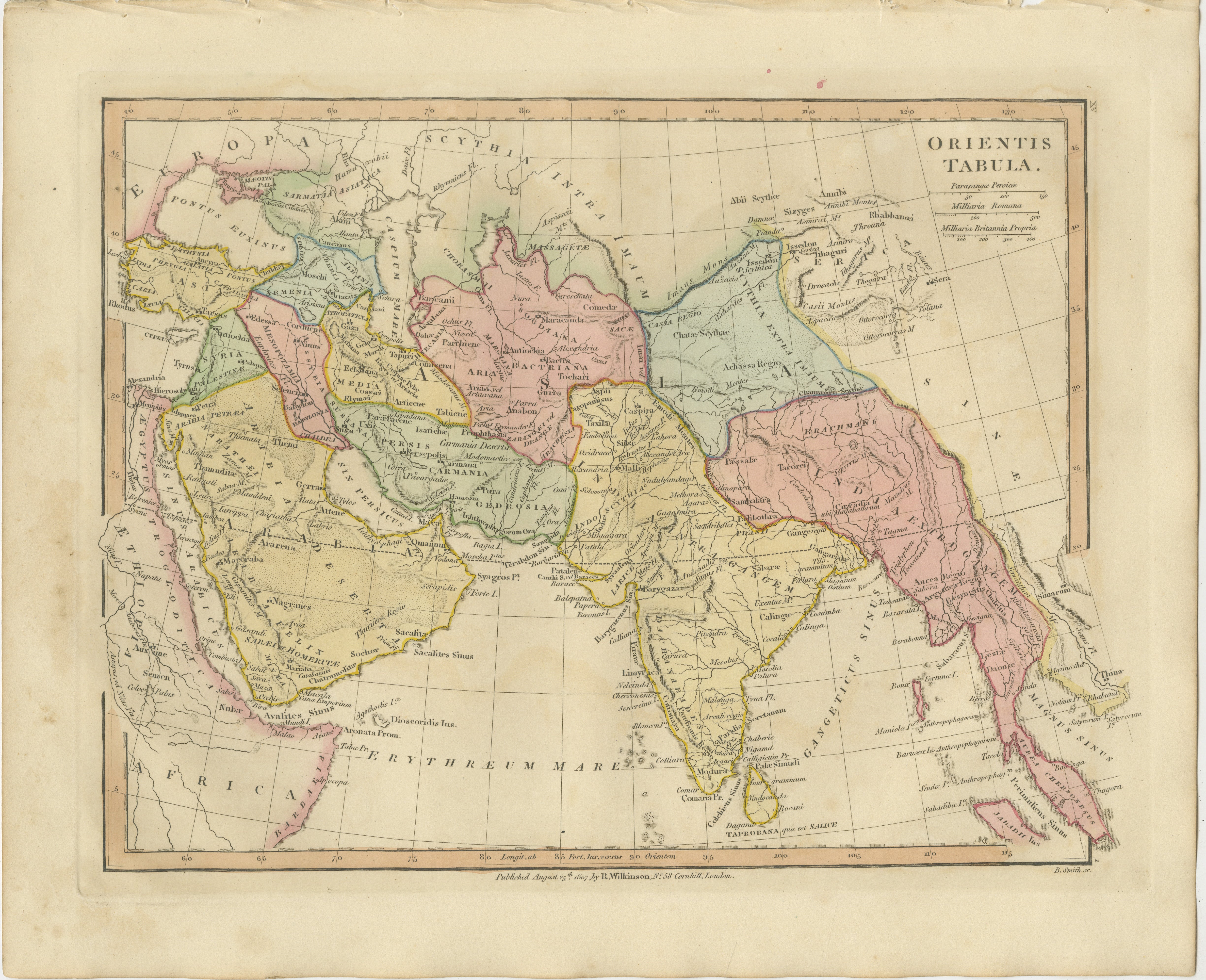
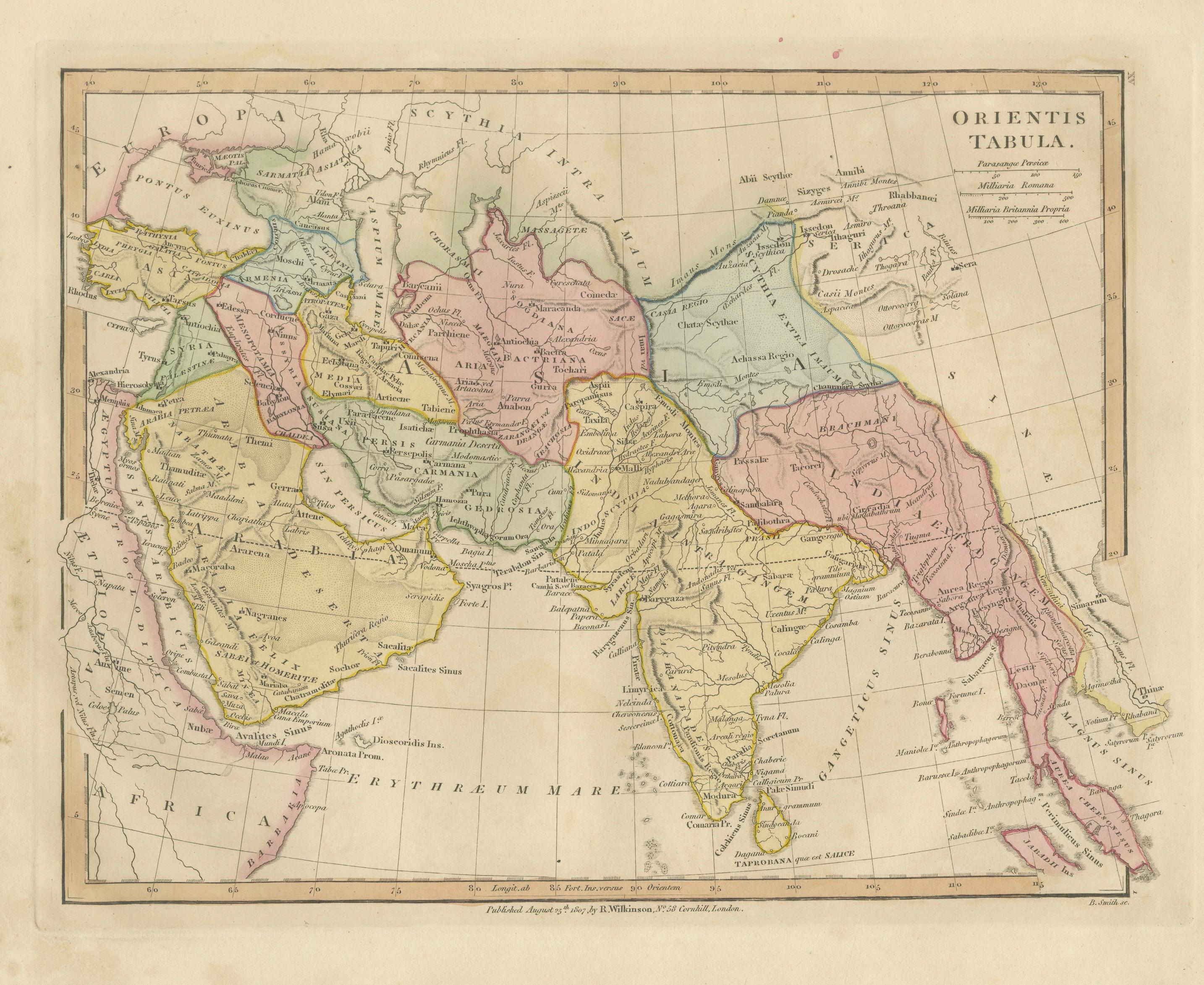
Antique Map of the Ancient Middle East & India – Wilkinson Orientis Tabula 1807
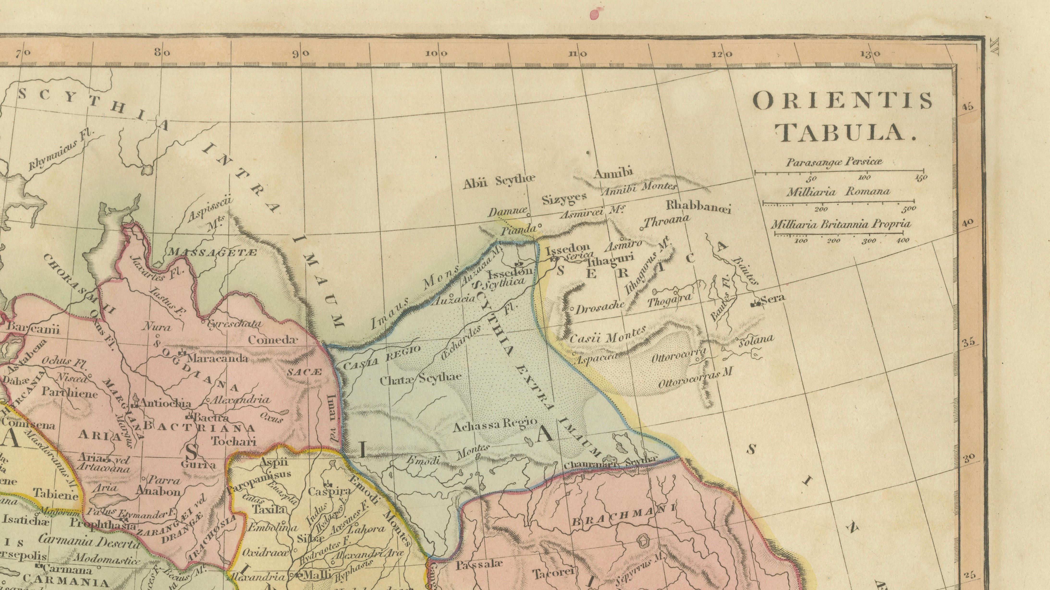
This finely engraved and beautifully hand-colored antique map titled “Orientis Tabula” presents a classical view of the ancient world stretching from the eastern Mediterranean across the Middle East and Persia to India and Southeast Asia. Published in London in 1807 by the respected British cartographer Robert Wilkinson, the map formed part of his influential Atlas Classica, a scholarly atlas created during a period of renewed European fascination with biblical history, classical geography, and the lands described by Greek and Roman historians.
Wilkinson’s atlas was designed for educational use in universities and learned societies, illustrating the geography of antiquity as understood through classical sources such as Ptolemy, Herodotus, Strabo, and Pliny. The result is a fascinating historical reconstruction of the ancient Near East and South Asia, filled with classical place names and regional divisions that reflect the geographic knowledge of antiquity.
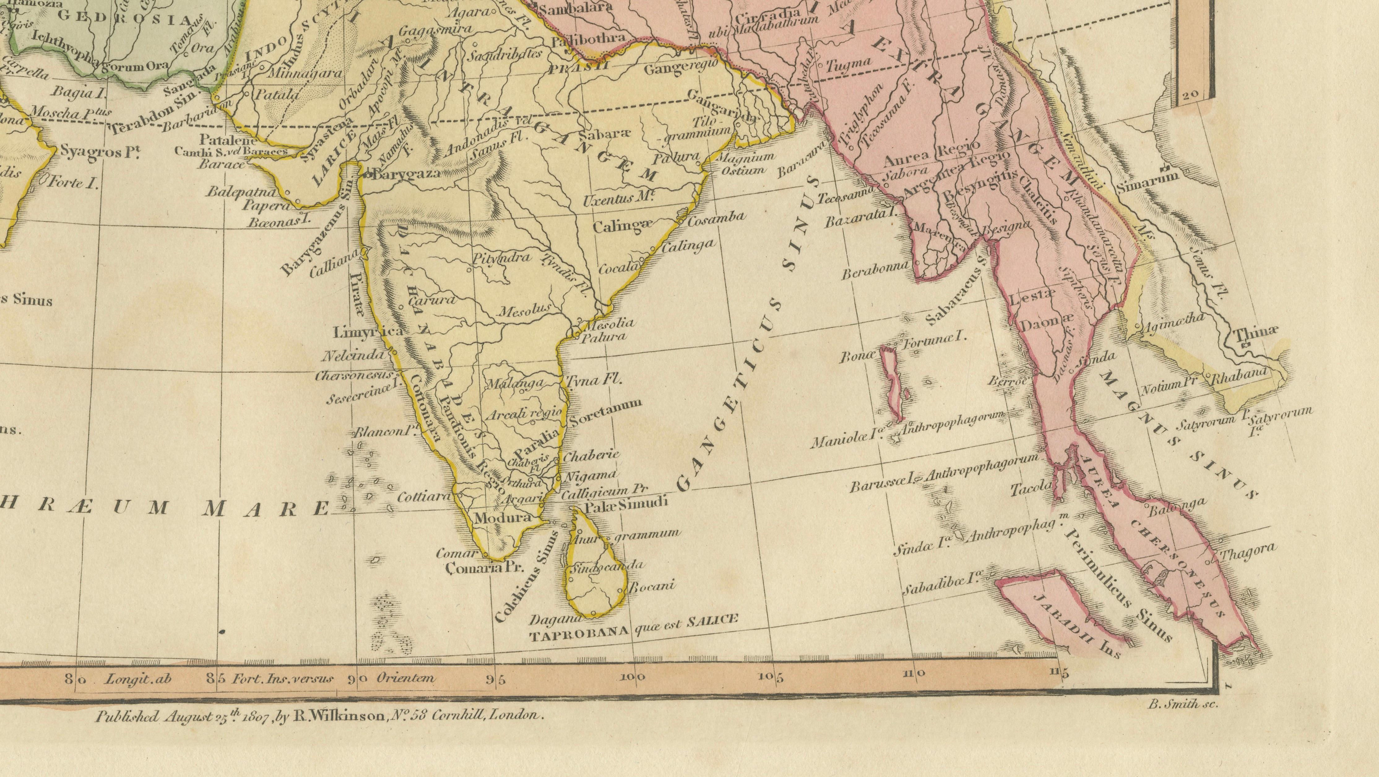
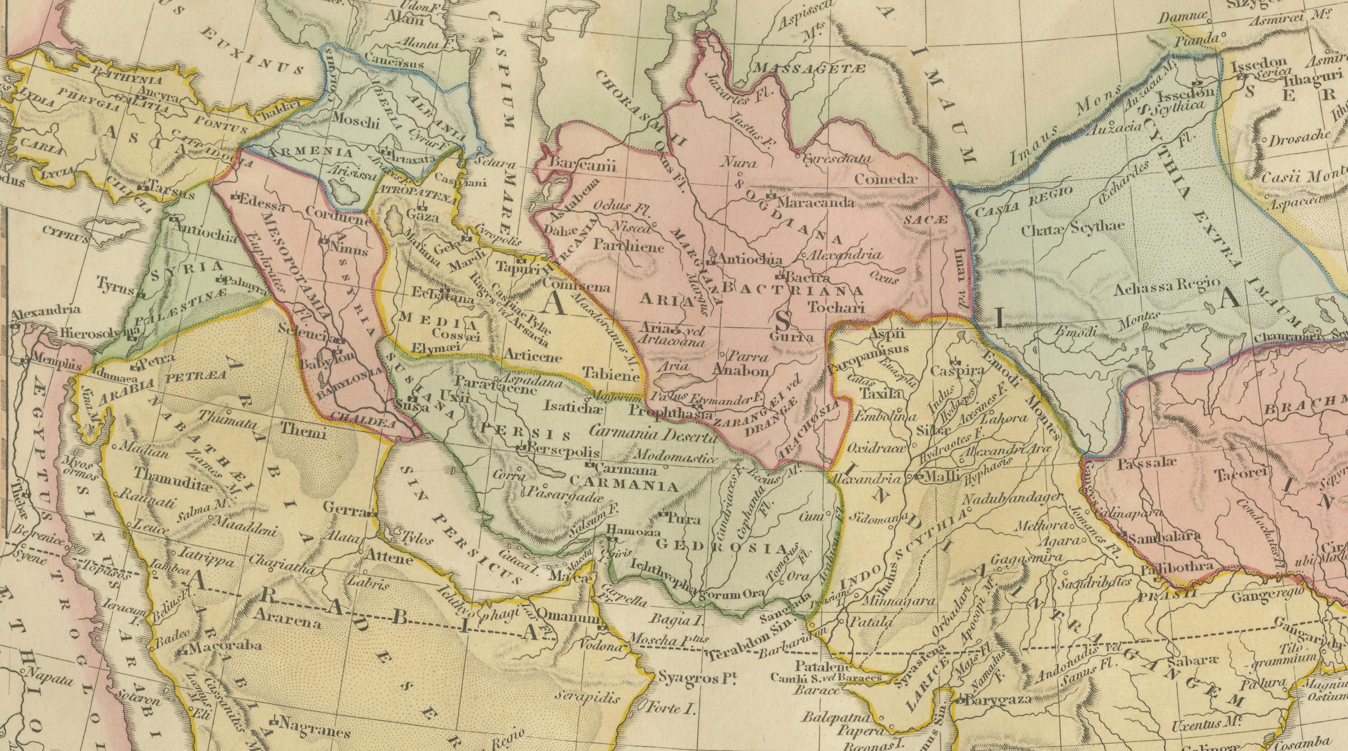
The map covers an expansive area extending from the Black Sea and eastern Mediterranean through Anatolia, the Levant, Mesopotamia, and Arabia, continuing eastward across Persia and Bactria to the Indian subcontinent and regions of Central Asia. Rivers, mountain ranges, ancient cities, and regional boundaries are carefully delineated and enhanced with delicate original hand coloring applied at the time of publication.
The title cartouche in the upper right reads “Orientis Tabula,” and the map includes multiple scales of distance, noting Persian Parasangae, Roman miles, and British miles, reflecting the scholarly ambitions of the atlas to reconcile classical measurements with modern geography.
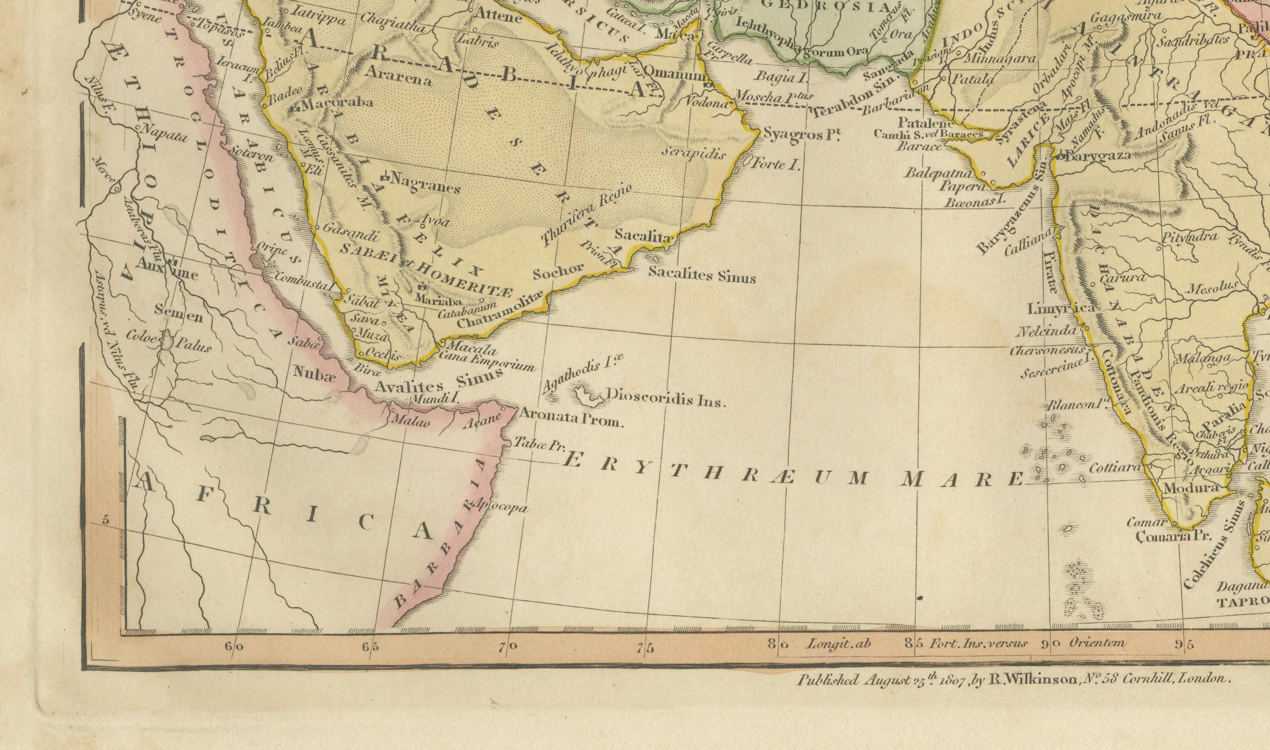
Prominent regions and historical territories visible on the map include Asia Minor, Armenia, Mesopotamia, Assyria, Babylonia, Media, Persia, Carmania, Gedrosia, Bactria, Arachosia, Sogdiana, Scythia, Parthia, and the great Indian regions of Indostan and the Ganges basin. The Arabian Peninsula is shown in detail, including Arabia Petraea, Arabia Deserta, and Arabia Felix. To the south appear parts of Africa including Nubia and regions bordering the Red Sea and the Erythraean Sea.
Major classical rivers such as the Tigris, Euphrates, Indus, and Ganges are clearly traced, while the Persian Gulf, Red Sea, and Indian Ocean are labeled with their historical names. Numerous ancient cities appear throughout the map, including Babylon, Nineveh, Damascus, Jerusalem, Antioch, Persepolis, Ecbatana, Bactra, Taxila, and others associated with biblical, Persian, Hellenistic, and Roman history.
The engraving itself is crisp and elegant, typical of the refined British cartographic style of the early nineteenth century. Subtle pastel hand coloring highlights the different regions and kingdoms, enhancing both readability and decorative appeal. The map is particularly attractive for collectors interested in biblical geography, classical antiquity, Middle Eastern history, and early European interpretations of Asian geography.
This example is an original antique map printed in 1807 and hand-colored at the time of publication. It is not a modern reproduction. Maps shown framed in presentation images are for display inspiration only. The map is supplied unframed.
Condition:
Good antique condition with attractive original hand color. Light age toning and minor handling marks consistent with age. Margins remain generous and suitable for framing.
Framing tips:
This map frames beautifully in a classic dark walnut or ebonized wood frame with a wide ivory or museum-white mat. A double mat with a subtle gold inner fillet works particularly well and complements the warm tones of the antique paper and hand coloring, creating an elegant presentation suitable for a study, library, or interior designer project.
Keyword block:
Orientis Tabula, ancient world map, Middle East map, Persia map, Arabia map, India map, Indostan map, Asia Minor map, Anatolia, Armenia, Mesopotamia, Assyria, Babylonia, Media, Parthia, Persia, Carmania, Gedrosia, Arachosia, Bactria, Sogdiana, Scythia, Indus River, Ganges River, Tigris River, Euphrates River, Red Sea, Erythraean Sea, Persian Gulf, Arabian Peninsula, Arabia Petraea, Arabia Deserta, Arabia Felix, Nubia, Black Sea, Syria, Palestine, Jerusalem, Damascus, Antioch, Babylon, Nineveh, Persepolis, Ecbatana, Taxila, classical geography, biblical lands, Atlas Classica, Robert Wilkinson, London map 1819, antique Asia map, antique Middle East map, hand colored map, copperplate engraved map, early nineteenth century cartography
Technique: Copperplate engraving with original hand color
Maker: Robert Wilkinson, London, 1807