
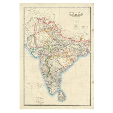
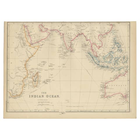
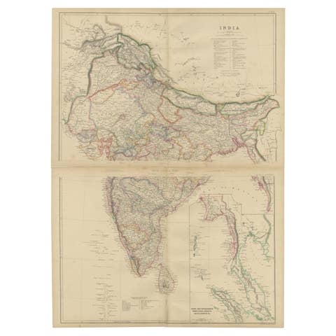
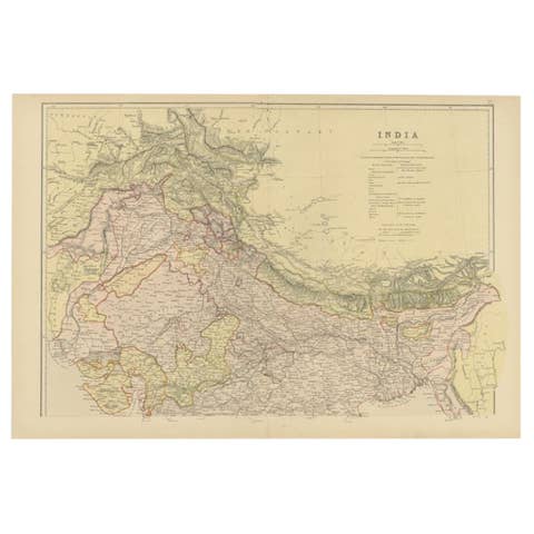
Johnston's Travelling Map of India on Linen in Original Cloth, 1857
€ 1 010
One of a kind: this is the sheet in the photographs. Ships from Langweer, the Netherlands.
Date
1857
Sheet size
56 × 66.5 cm (22.0 × 26.2 in)
Condition
Good
Reference
BG-14327-2
Condition
Good antique condition overall. Very light spotting and minor surface soiling consistent with age and use. Folding as issued. Original red cloth covers present with gilt decoration, rubbed and lightly stained.
About this sheet
Johnston's Travelling Map of India on Linen in Original Cloth, 1857
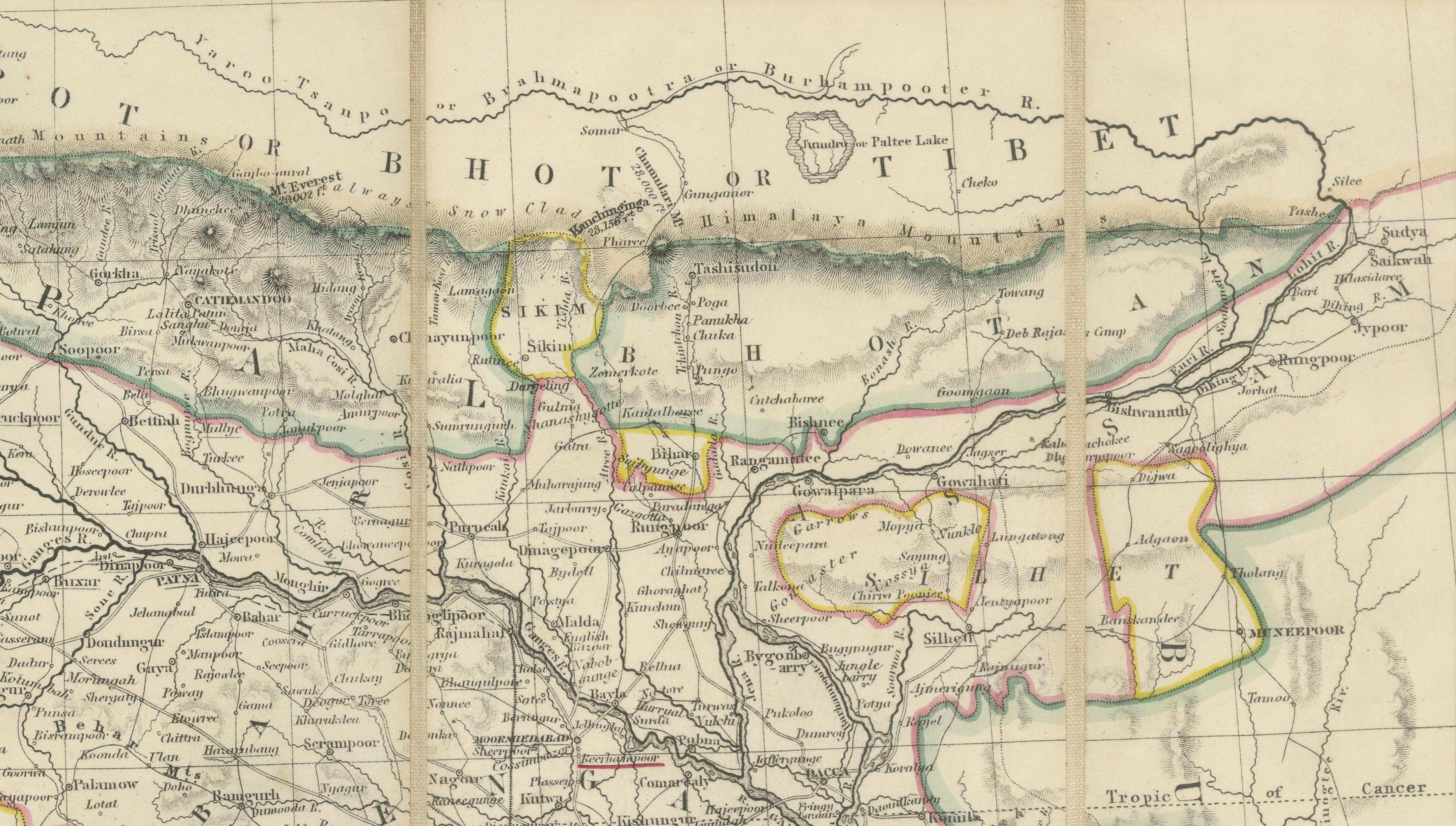
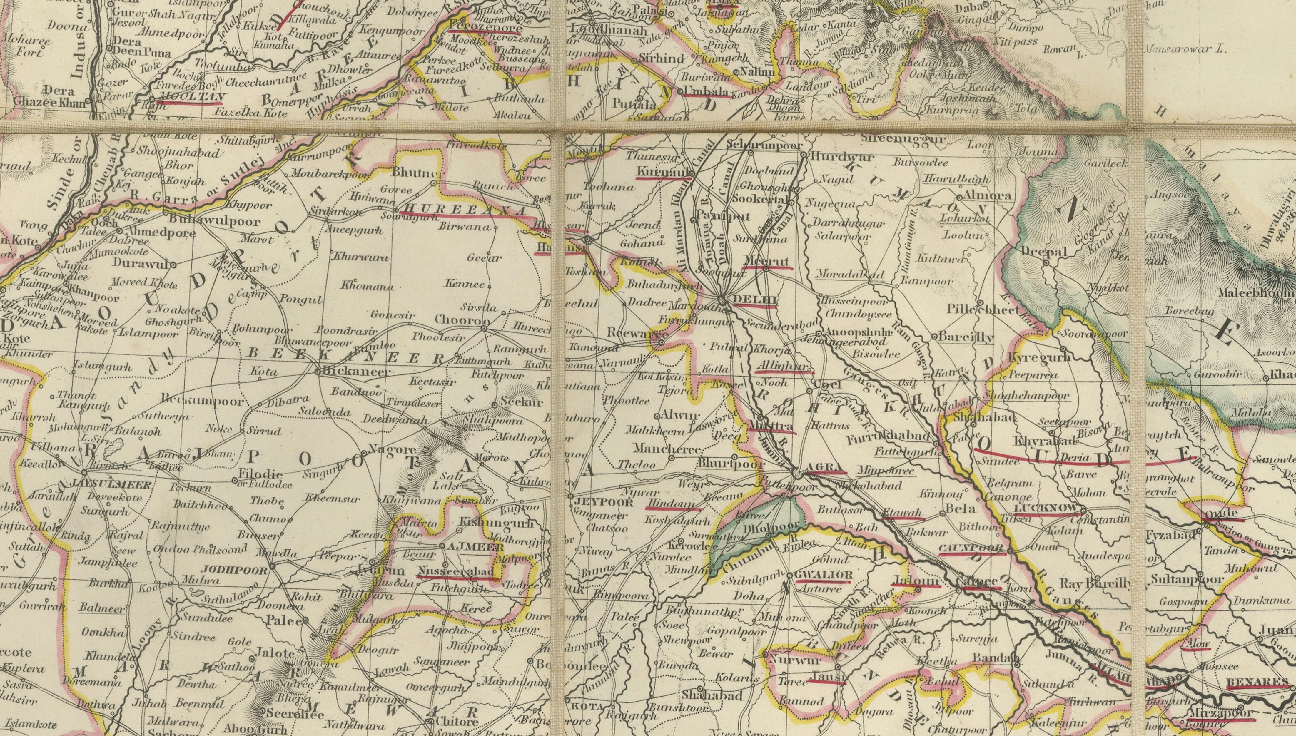
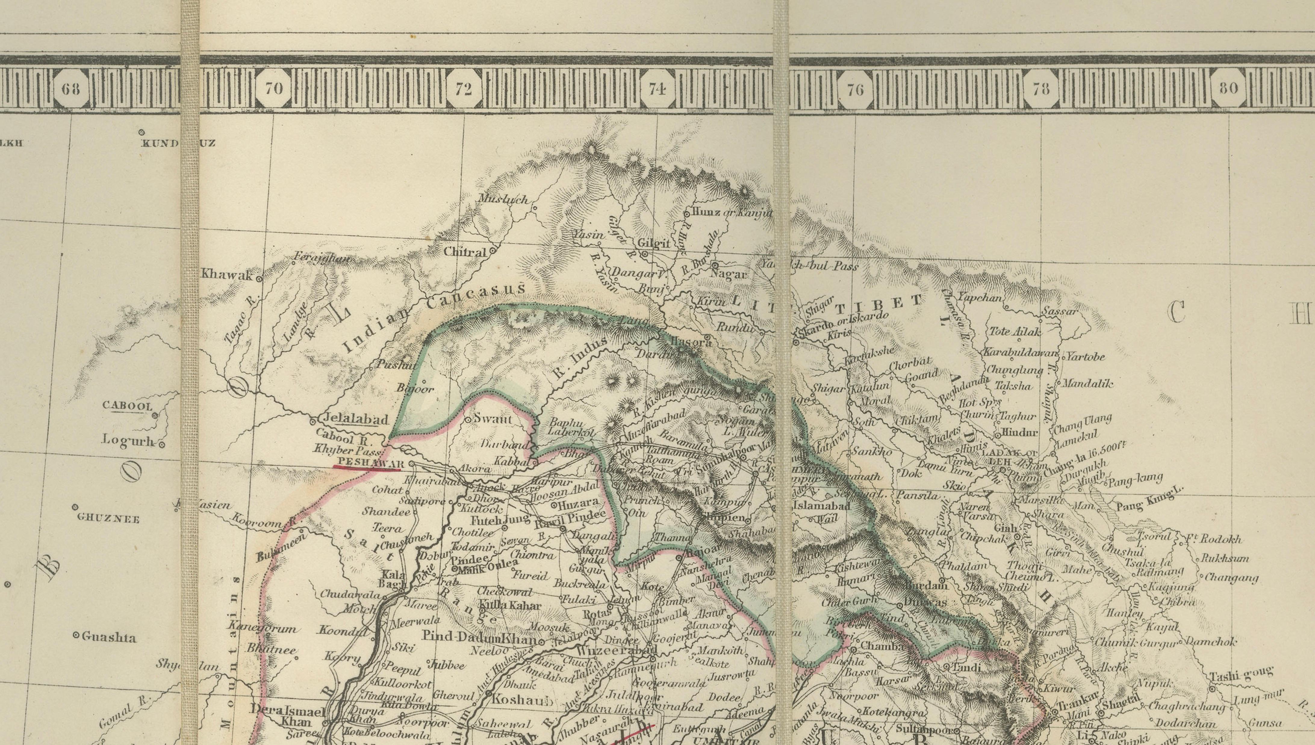
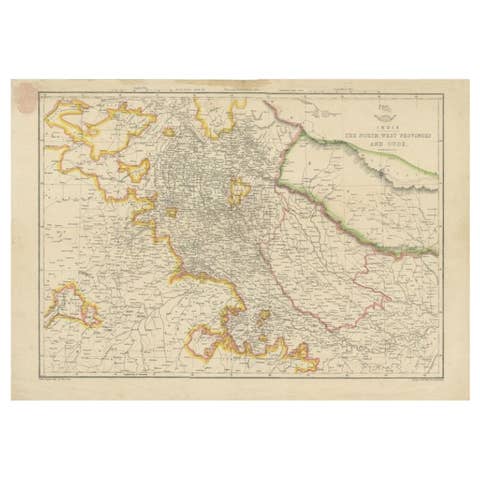
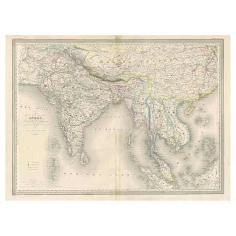
An exceptionally rare and historically important travelling map of the Indian subcontinent, published by the renowned Scottish cartographic firm W. & A.K. Johnston in Edinburgh in 1857. Issued in the very year of the Indian Rebellion, the map captures the political geography of British India at a pivotal moment in imperial history.
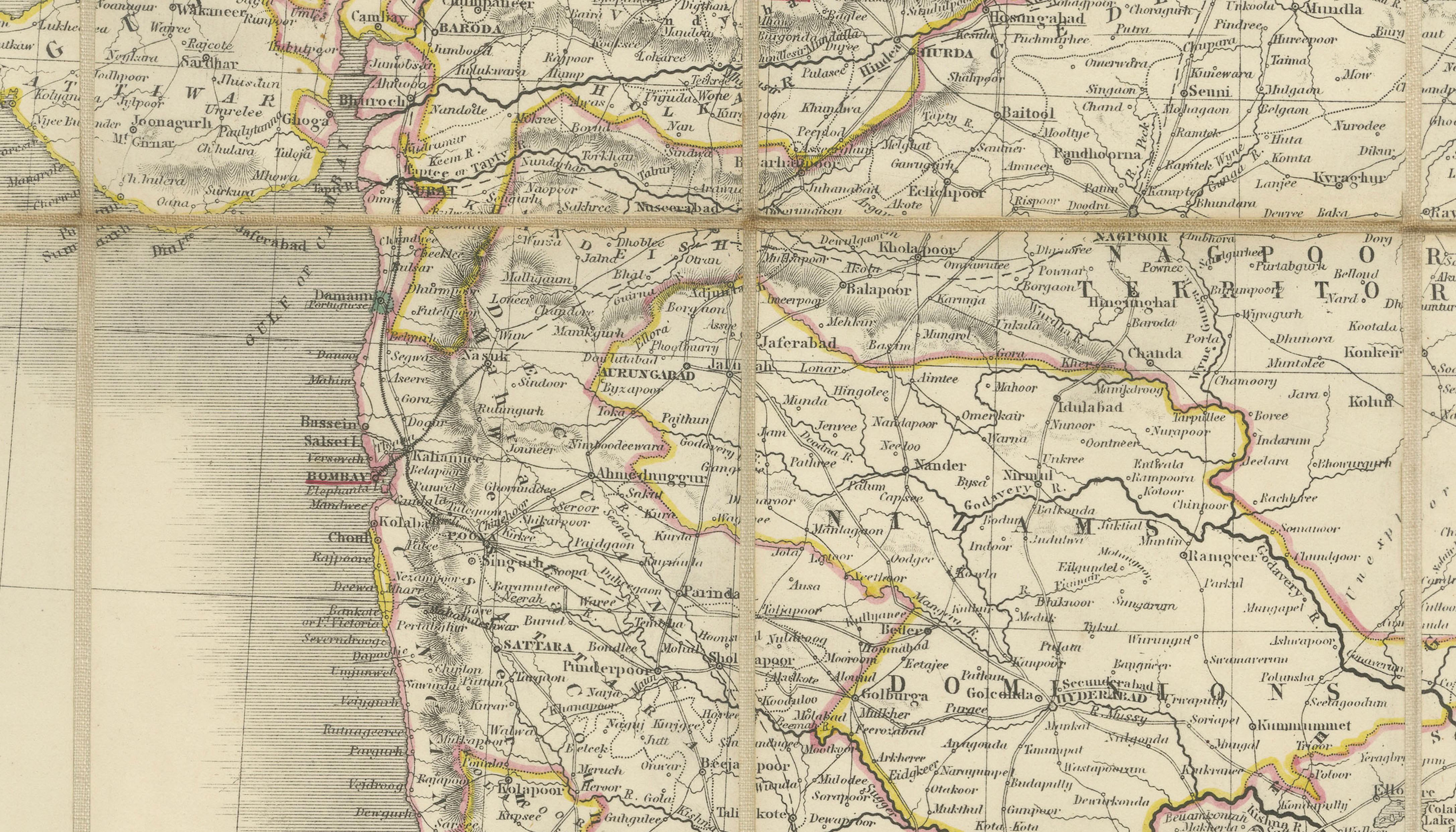
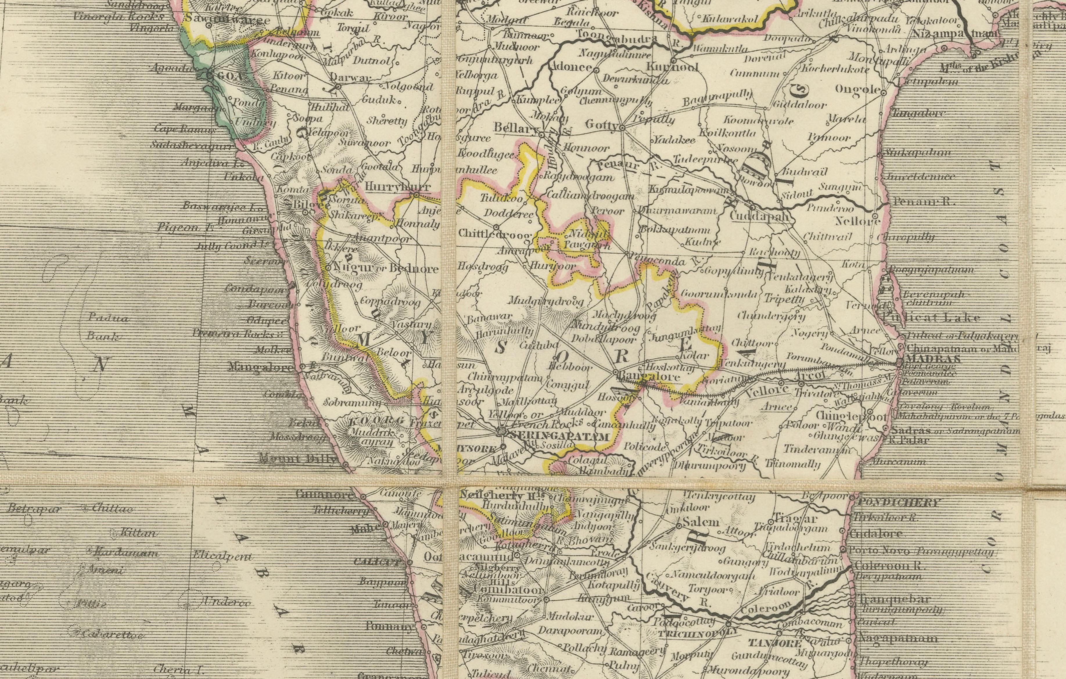
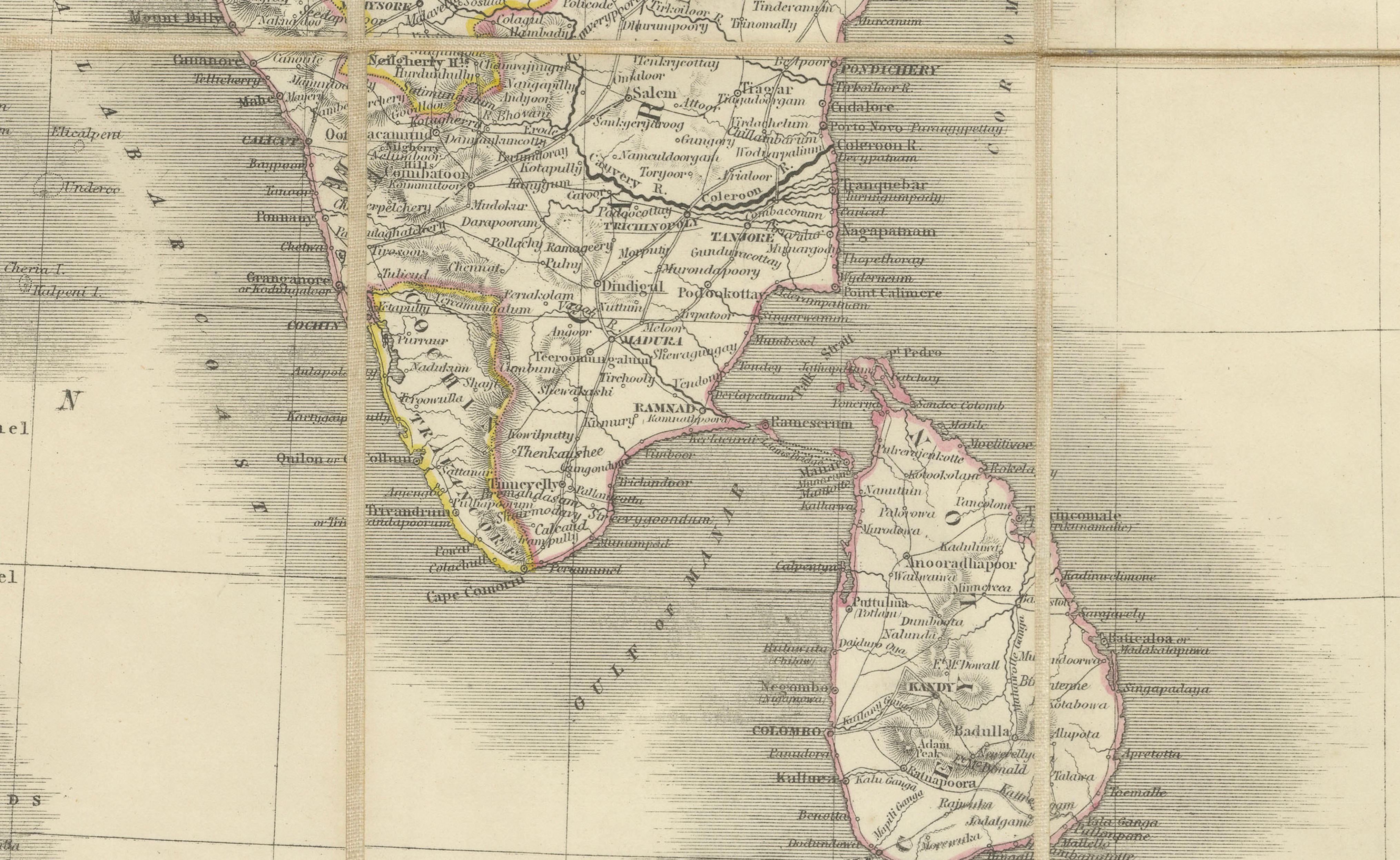
The large engraved map is finely detailed and enhanced with original hand-colouring delineating British Territory, Subject and Protected States, and Independent States. The extensive network of roads, cities, rivers, mountain ranges, and administrative boundaries reflects the increasing importance of overland travel and governance throughout the subcontinent during the final years of East India Company rule.
Designed specifically for travellers, the map is dissected and mounted on linen for durability and portability, folding into its original red cloth case with gilt lettering. An intriguing feature is the inclusion of a small vocabulary section containing commonly used words and expressions intended to assist European travellers navigating the region.
Published immediately before direct Crown administration replaced Company governance, this work stands as both a practical travel companion and an important documentary record of nineteenth-century colonial India. Maps in original cloth cases with their contemporary hand-colouring intact are increasingly scarce and highly sought after by collectors of Asian cartography and imperial history.
Maker: W. & A.K. Johnston, Edinburgh & London.
Date: 1857.
Medium: Engraving with original hand-colouring, dissected and mounted on linen.
Condition: Good antique condition overall. Very light spotting and minor surface soiling consistent with age and use. Folding as issued. Original red cloth covers present with gilt decoration, rubbed and lightly stained. The majority of the original ties are lacking. The linen backing remains sound and stable.
Dimensions: 66.5 × 56 cm (26.25 × 22 inches).
Sold unframed. Framed images are for inspiration only and not always on scale.