About this sheet
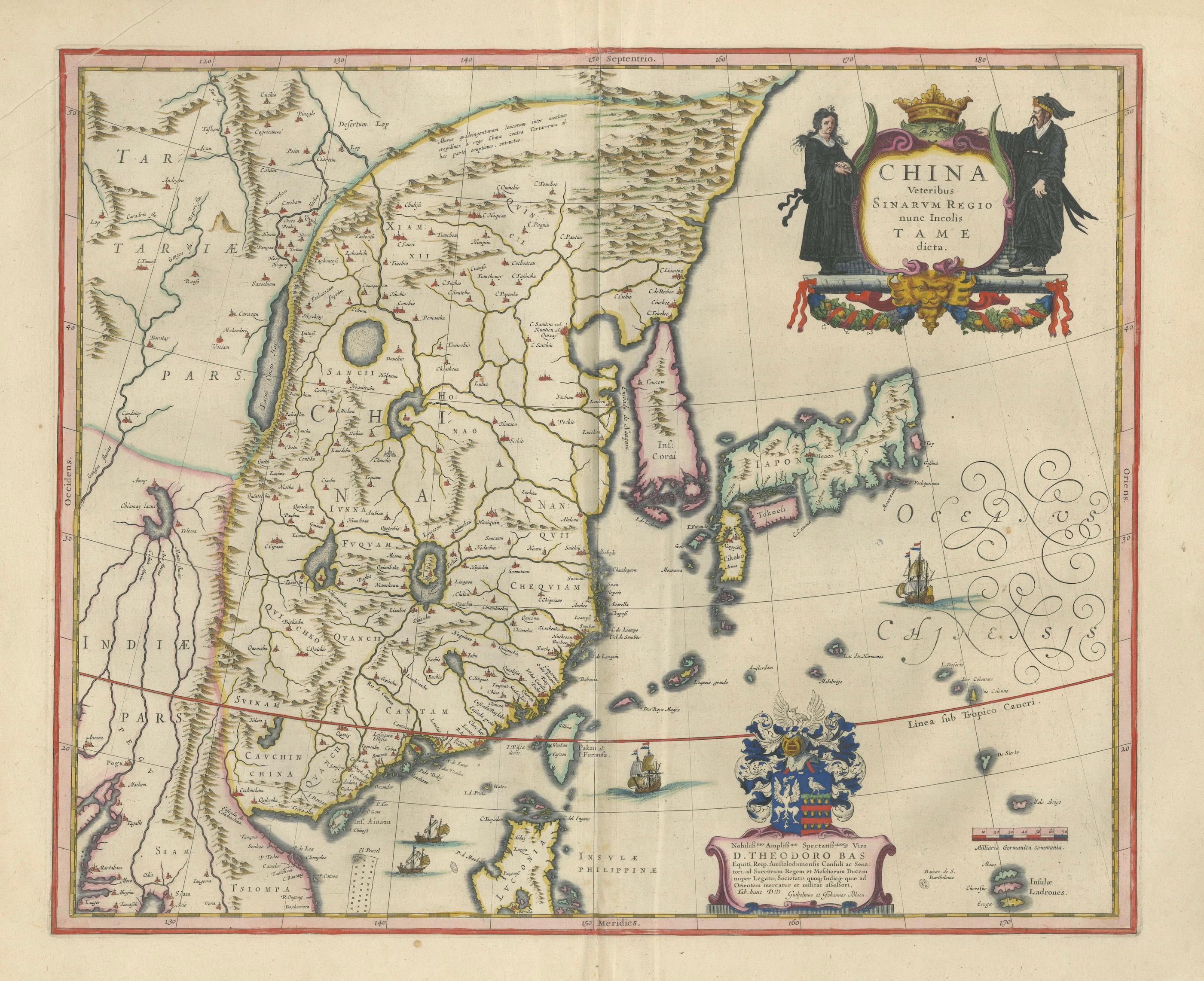
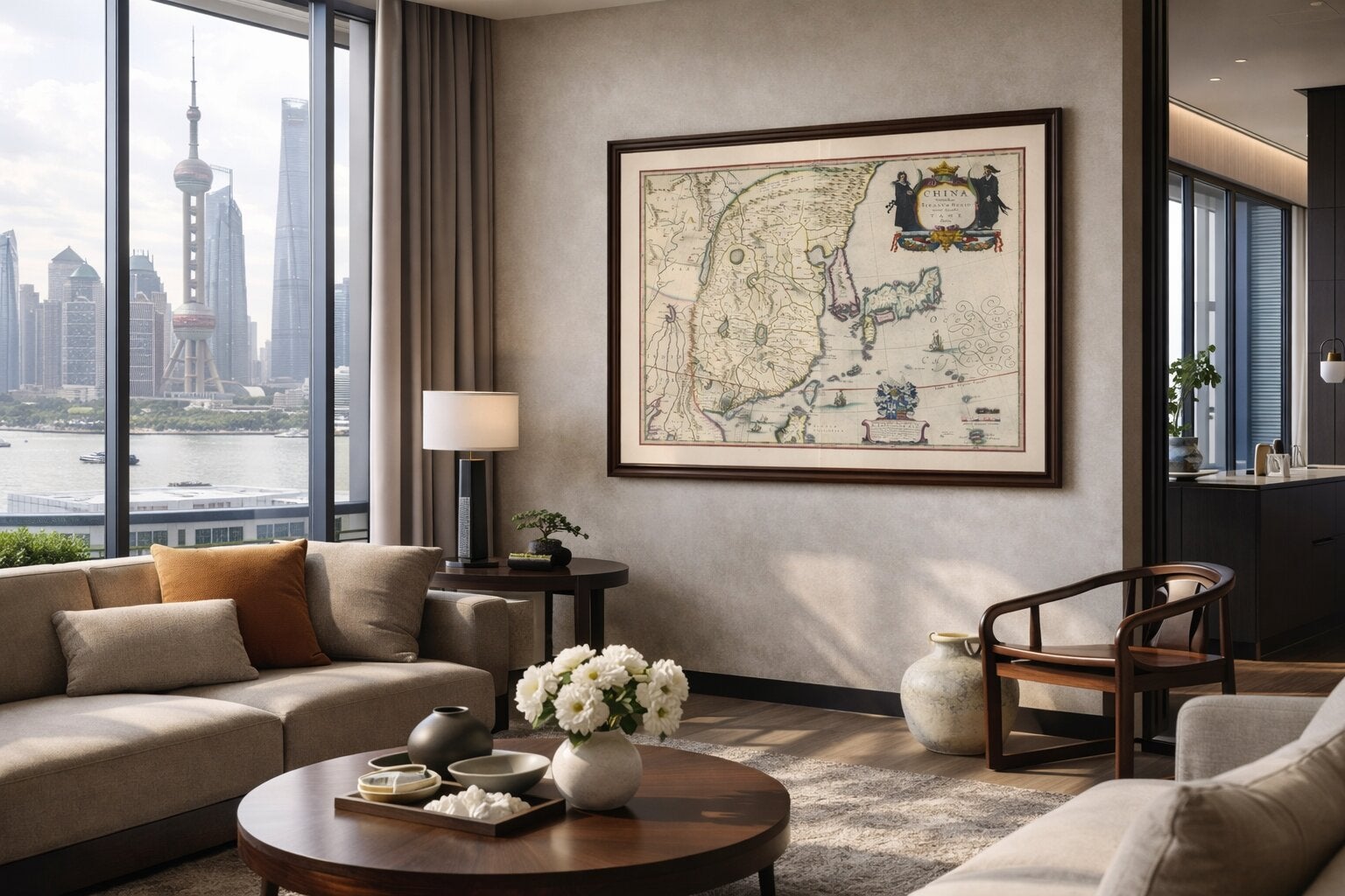
Antique Blaeu Map of China, Japan & Korea, Exotic Cartouches & Ships, c.1642
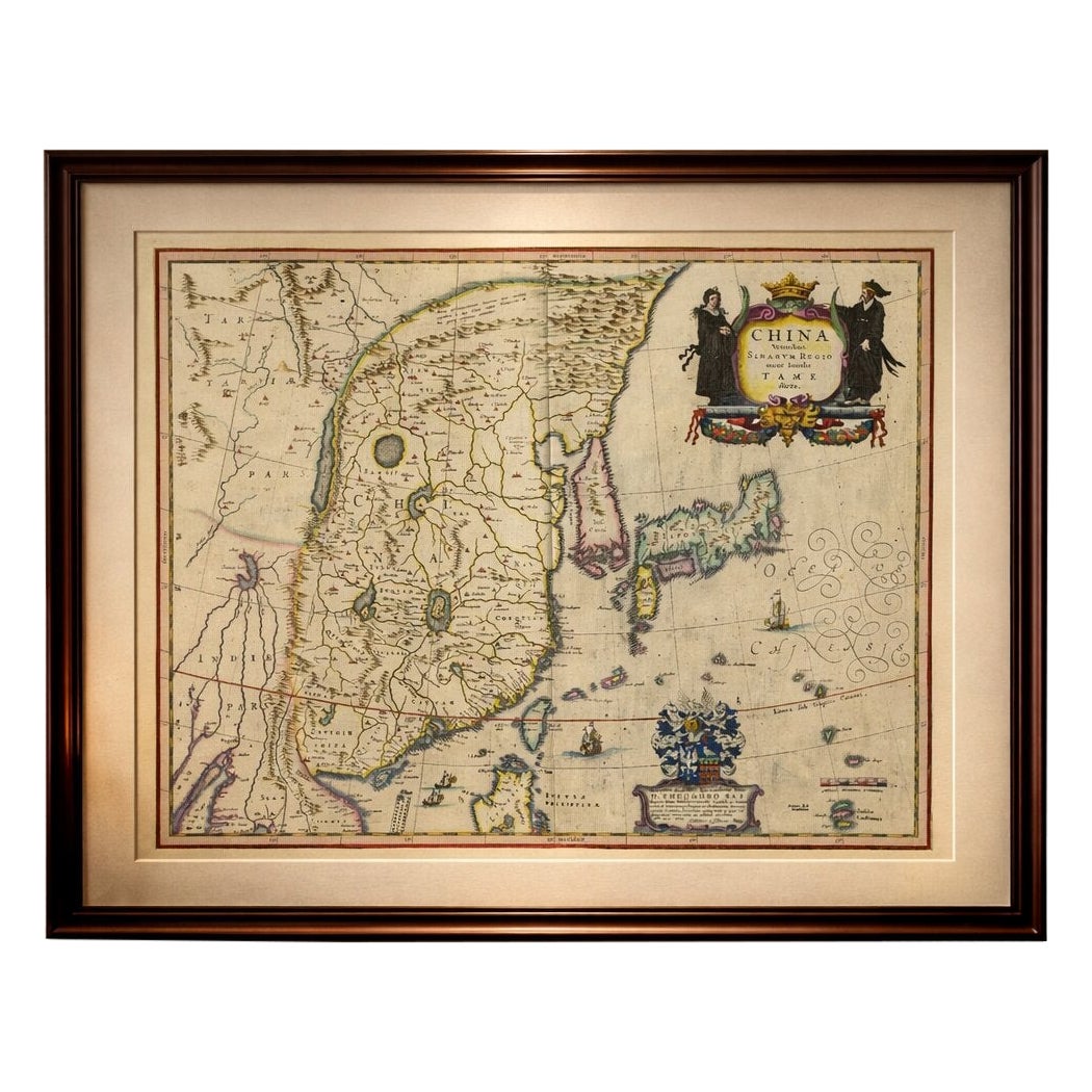
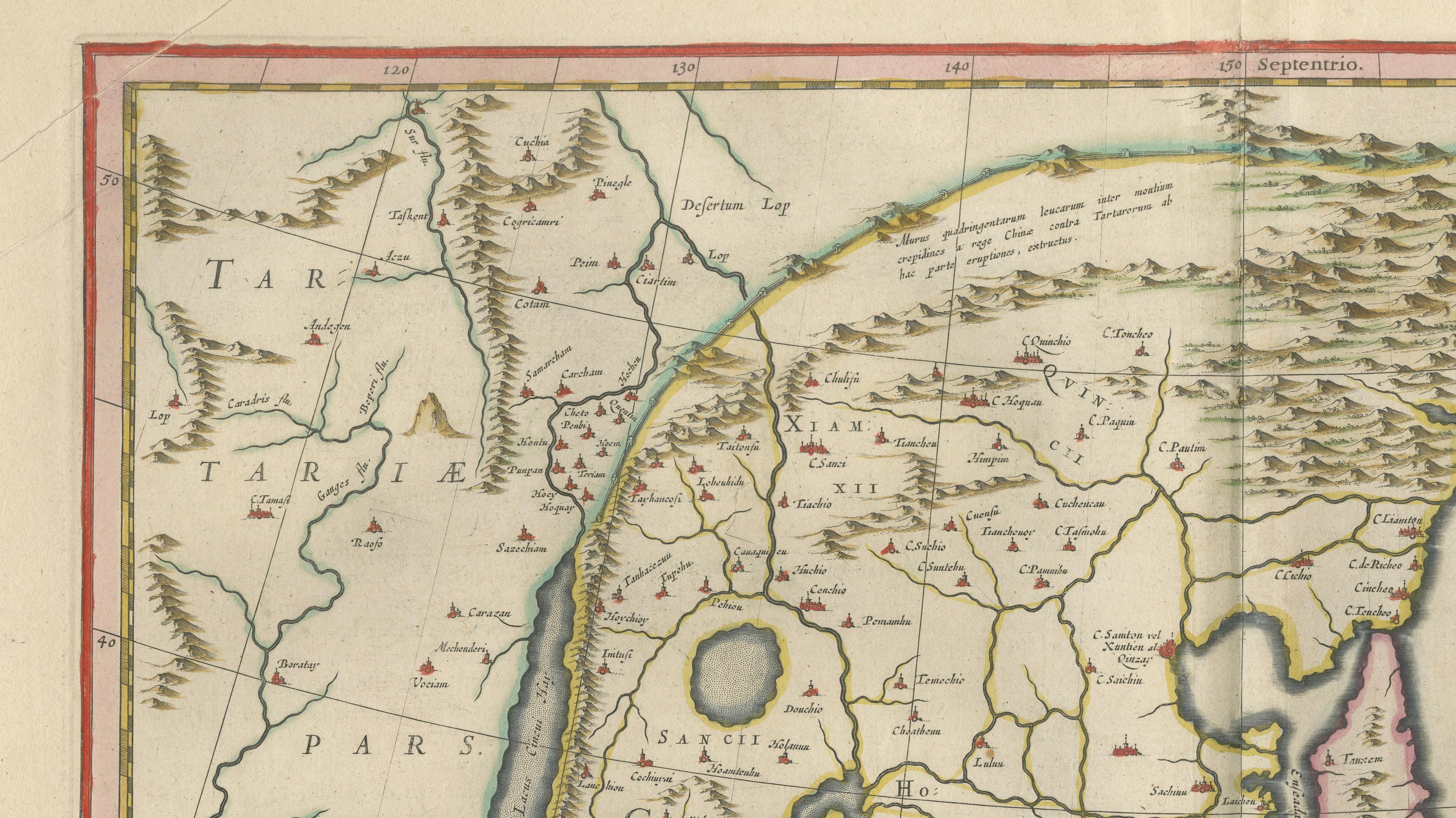
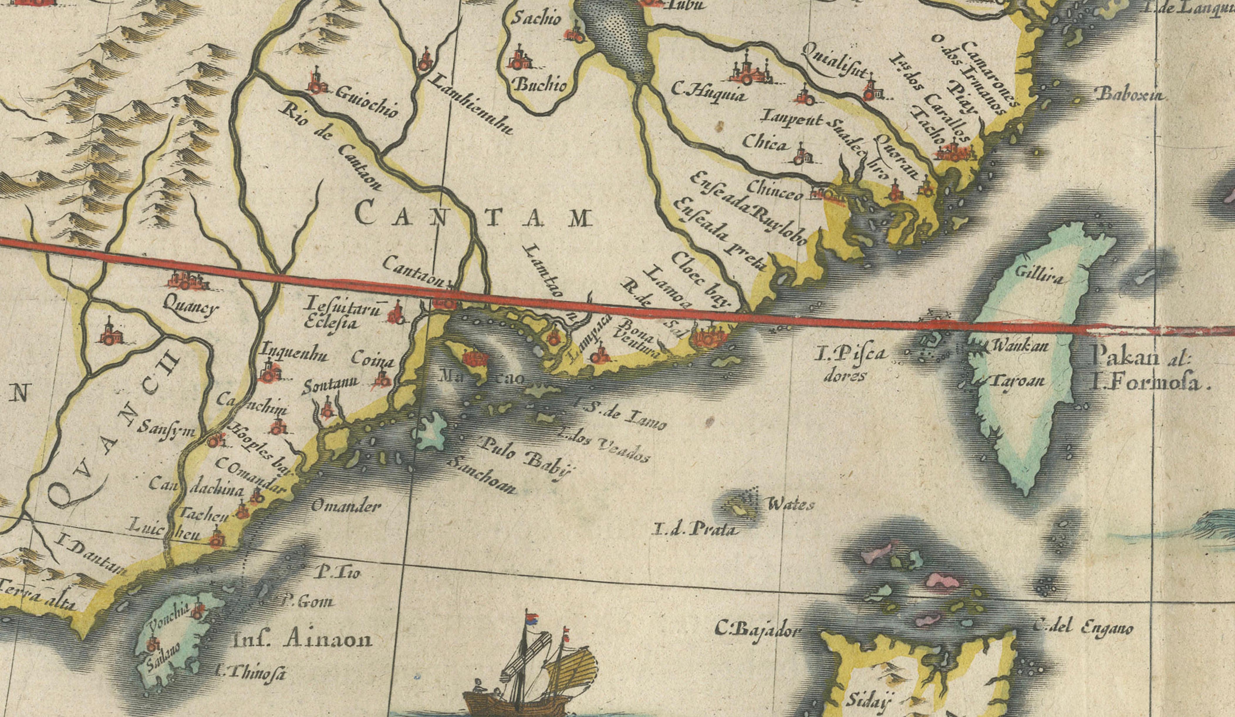
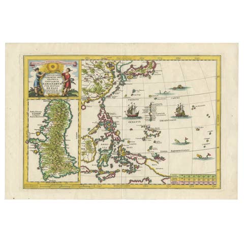
A highly desirable and visually striking map of East Asia, centered on China and extending to Korea, Japan, and parts of Southeast Asia, engraved and published by Willem Jansz. Blaeu in Amsterdam around 1642. This composition is one of Blaeu’s most appealing Asian maps, combining geographic detail with rich decorative elements that reflect the European fascination with the Far East during the Dutch Golden Age.
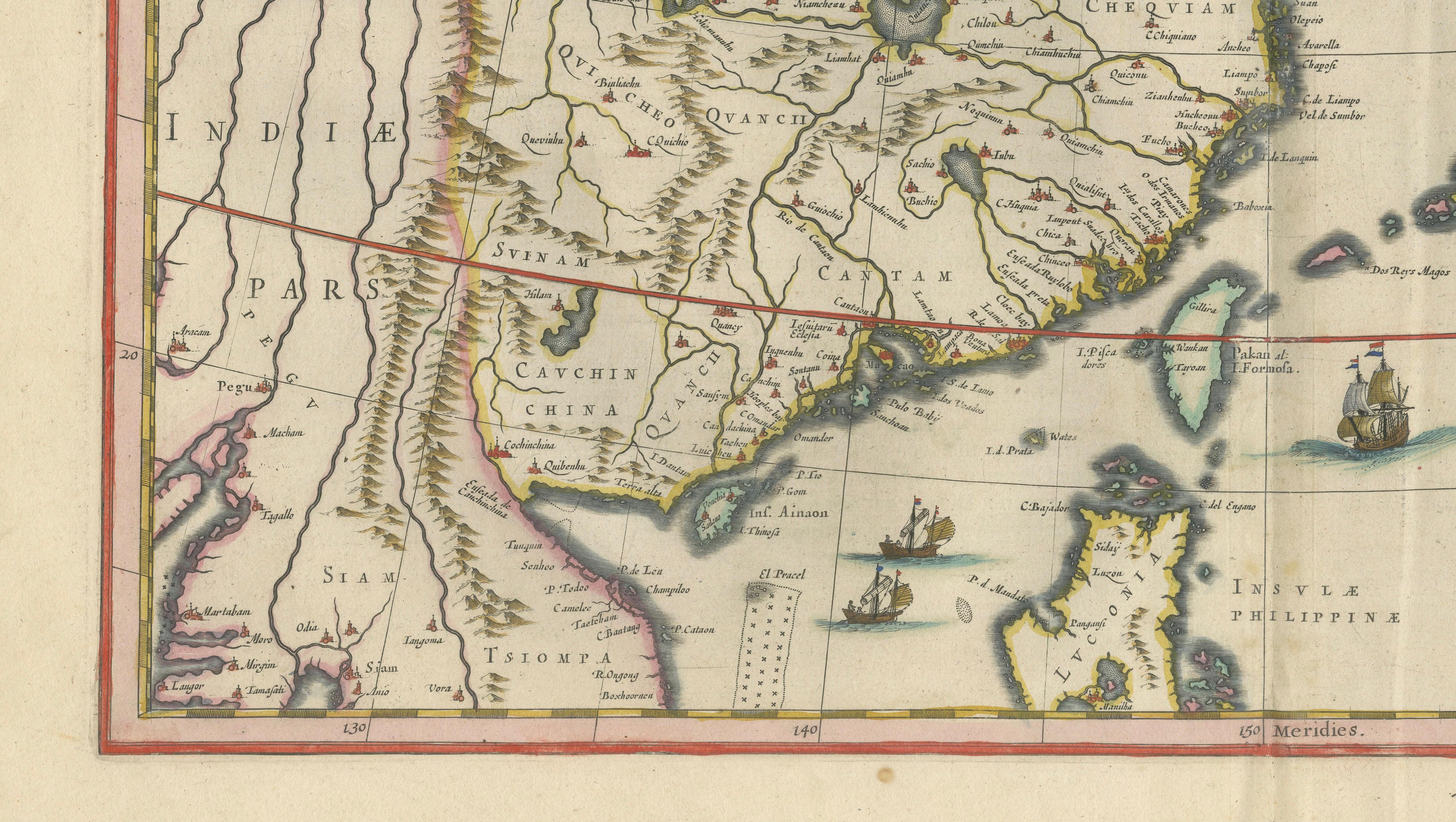
The map presents China prominently, with Korea shown as a peninsula and Japan depicted to the east in a beautifully stylized form. The surrounding seas are animated with sailing vessels and elegant calligraphic wind patterns, adding movement and refinement to the composition. The lower section includes the Philippines and parts of Southeast Asia, highlighting the broader trading networks of the period.
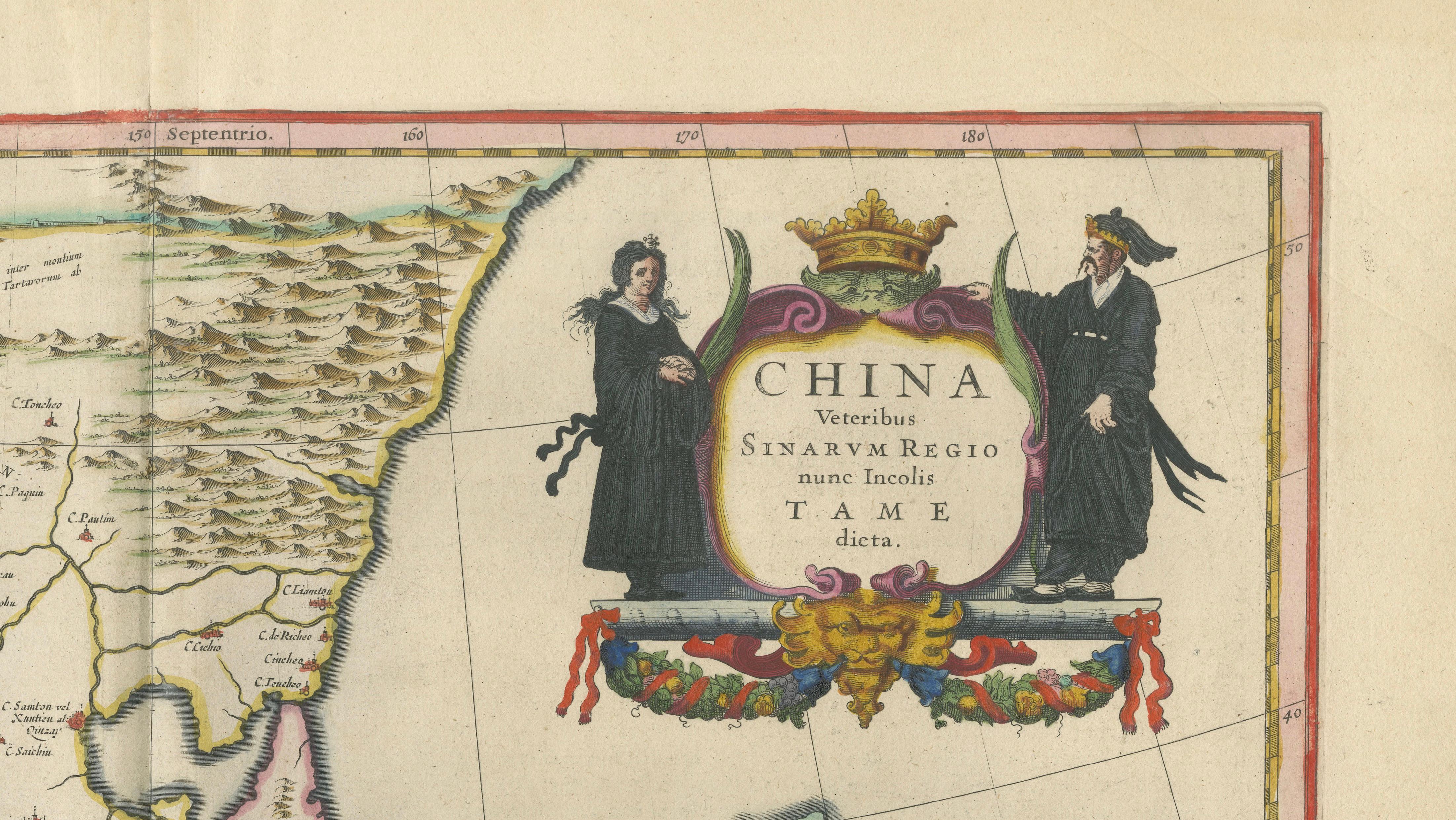
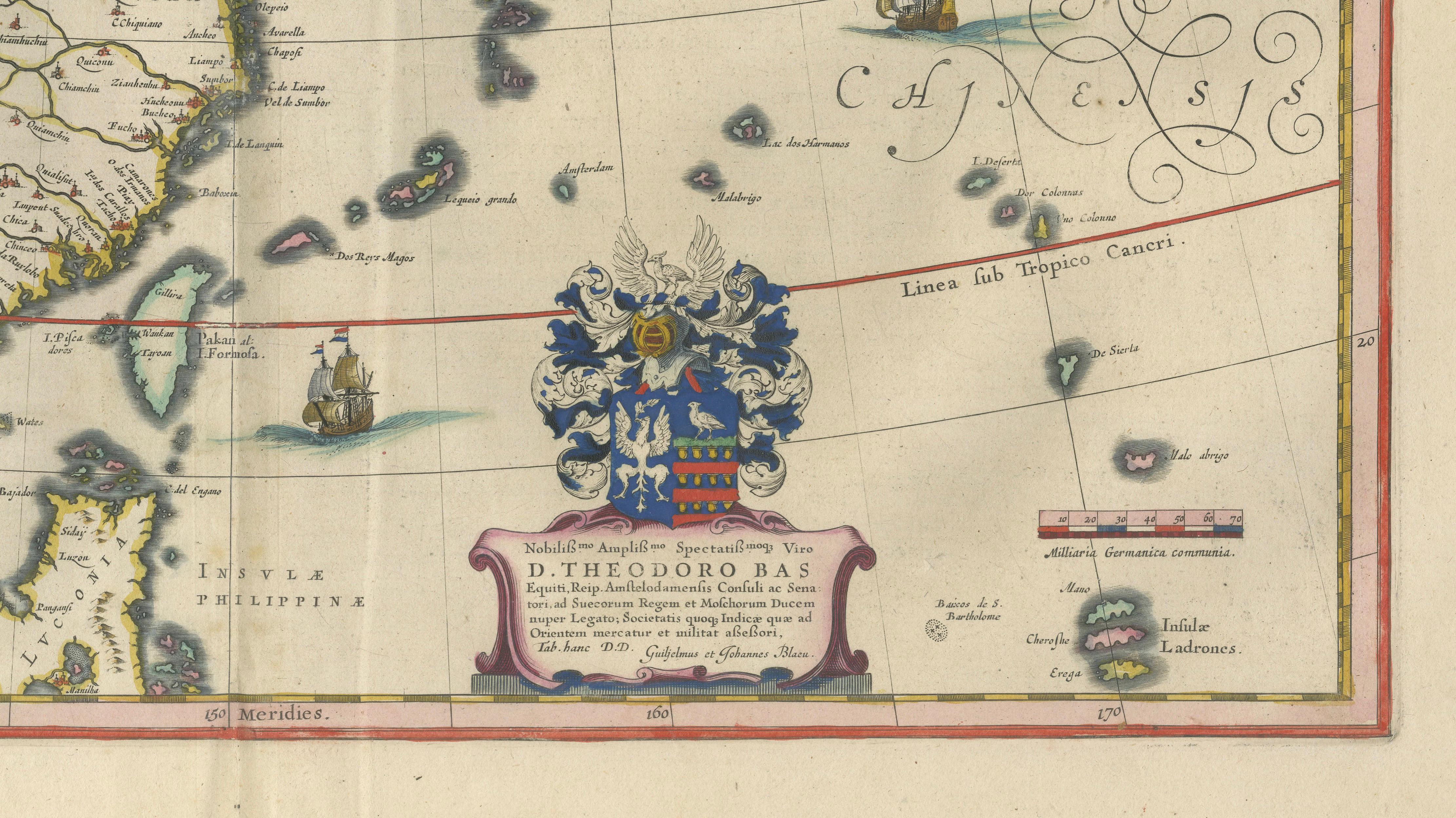
A particularly attractive feature is the elaborate cartouche in the upper right, flanked by figures in traditional dress, symbolizing European interpretations of Chinese culture. The heraldic cartouche at the bottom further enhances the decorative quality of the piece. Original hand coloring adds warmth and clarity, emphasizing both geographic and artistic detail.
This map was issued in Blaeu’s celebrated Toonneel des Aerdrycx atlas, one of the most prestigious cartographic works of the 17th century. Maps of Asia from this atlas are especially sought after due to their combination of rarity, historical significance, and strong decorative appeal.
An exceptional collector’s piece and a powerful statement work for interiors, particularly suited to Asian-inspired or globally themed spaces.
Condition: Very good overall with strong original hand color. Central fold as issued. Light age toning and some minor spotting in the margins, consistent with age. Plate mark visible.
Framing tips: Outstanding in a dark walnut or ebonized frame with a wide ivory mat, allowing the cartouches and sea details to stand out beautifully.
Authenticity note:
This is an original 17th-century engraving, not a reproduction. All items we offer are authentic period works of art over 100 years old. The map is sold unframed; any framed images are shown for presentation and interior inspiration only.