About this sheet
Antique Map Sri Lanka Ceylon Bellin 1750 – Kingdom of Kandy Enlightenment Map
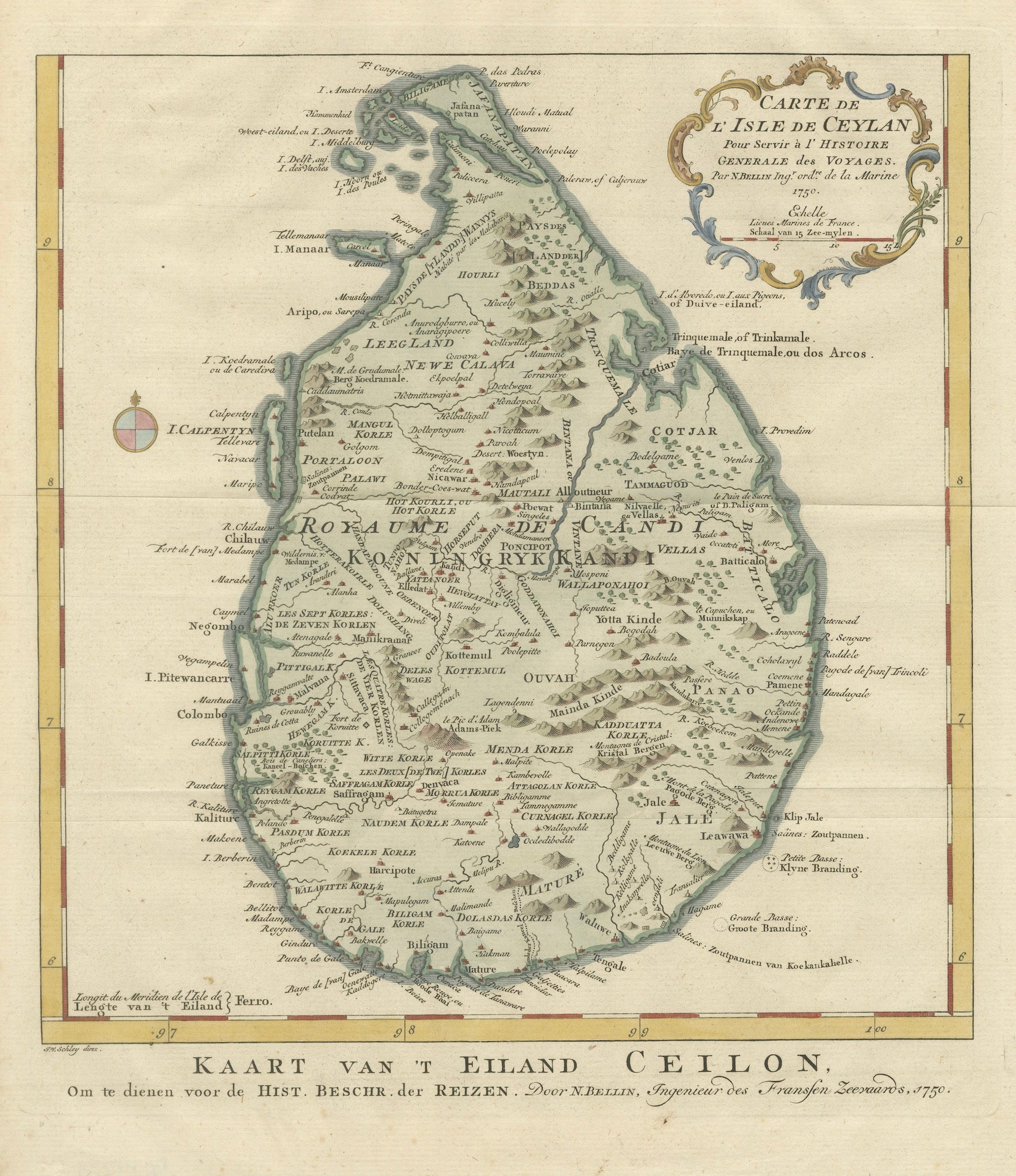
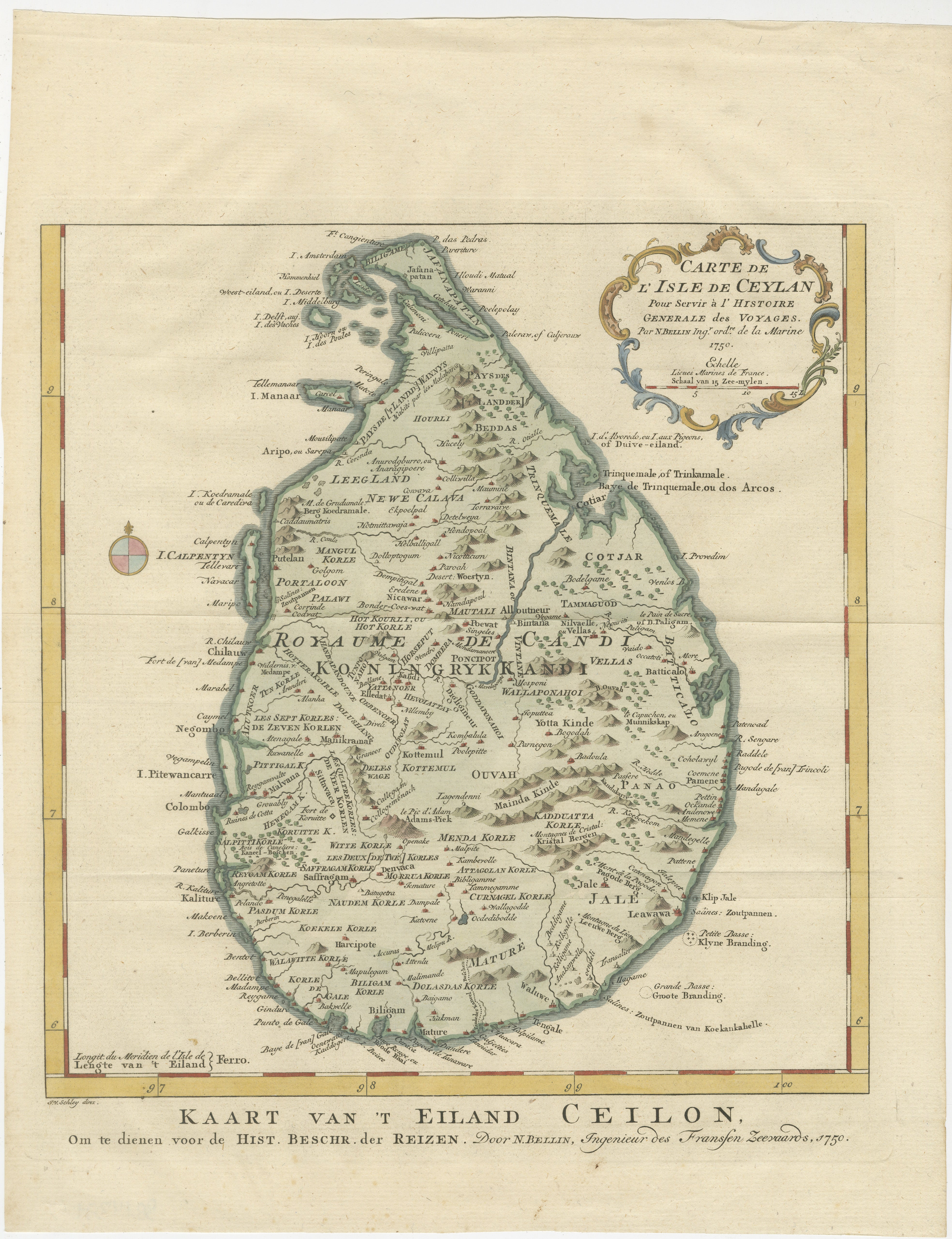
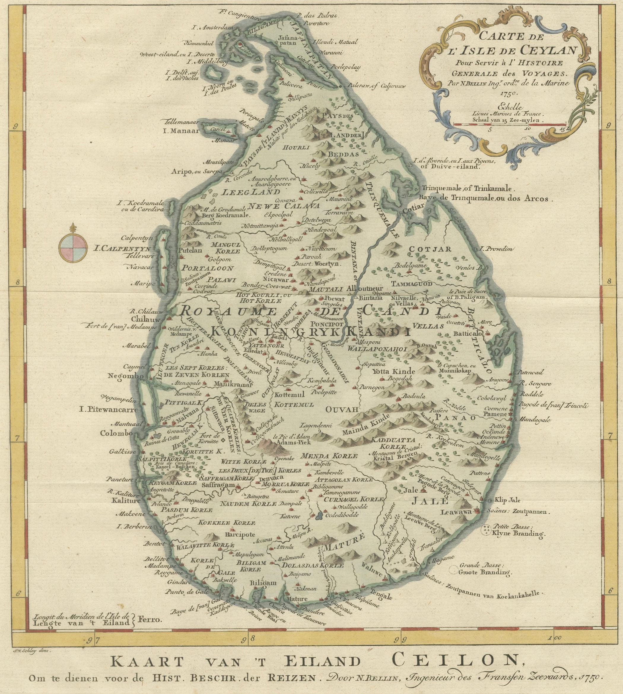
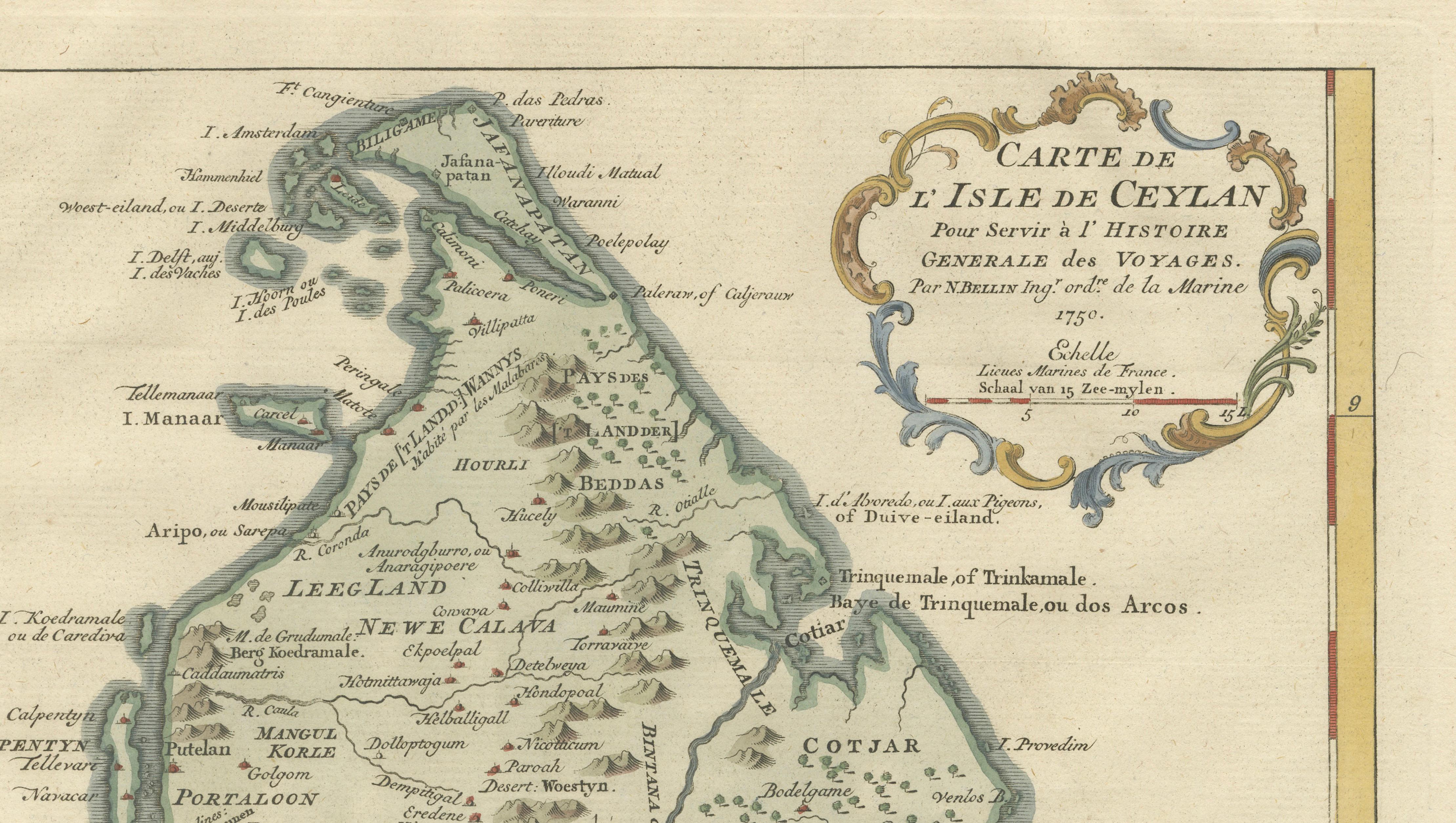
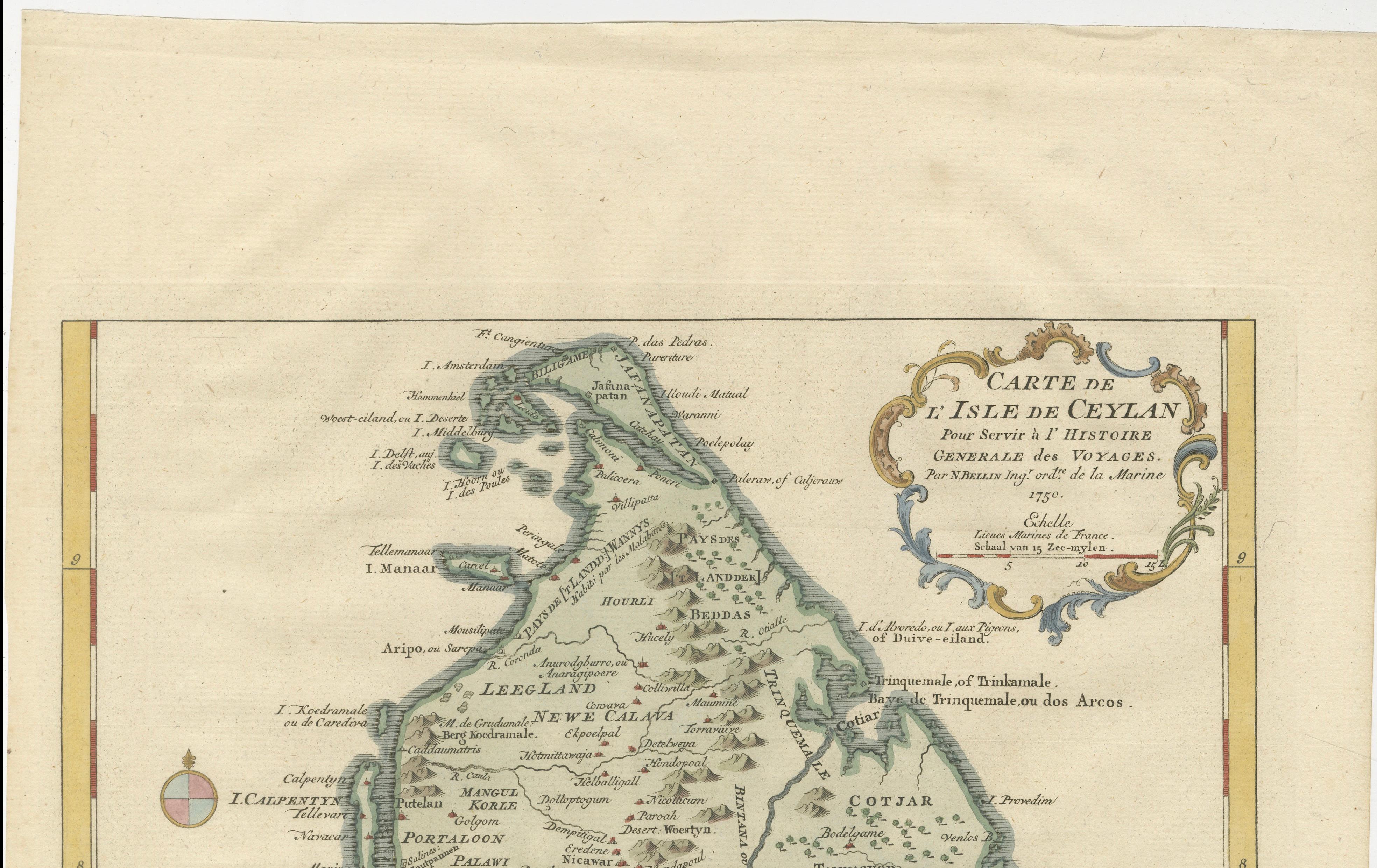
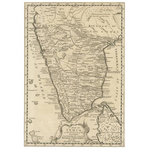
This elegant mid-18th century map titled Carte de l’Isle de Ceylan was created in 1750 by the renowned French cartographer and hydrographer Jacques-Nicolas Bellin. The map depicts the island historically known as Ceylon, today the modern nation of Sri Lanka, and was produced to accompany the influential travel compilation *Histoire Générale des Voyages*. This monumental publication sought to document the geography, cultures, and discoveries of the known world during the Enlightenment and became one of the most widely read travel encyclopedias of the eighteenth century.
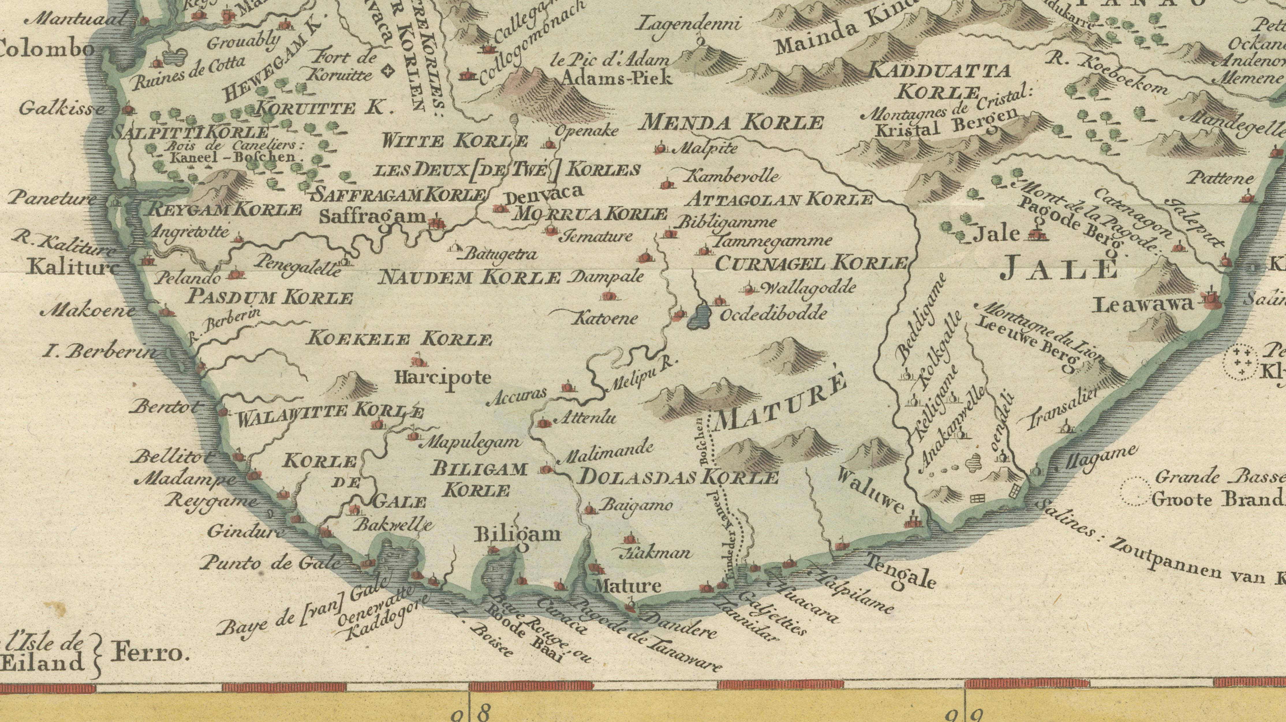
Bellin served as the official Hydrographer to the French Navy and was among the most respected cartographers of his time. His work was characterized by a combination of scientific precision and clear visual design, making his maps both practical for navigation and highly attractive as decorative works. The present map reflects these qualities, presenting the island with carefully engraved coastlines, mountains, rivers, and settlements.
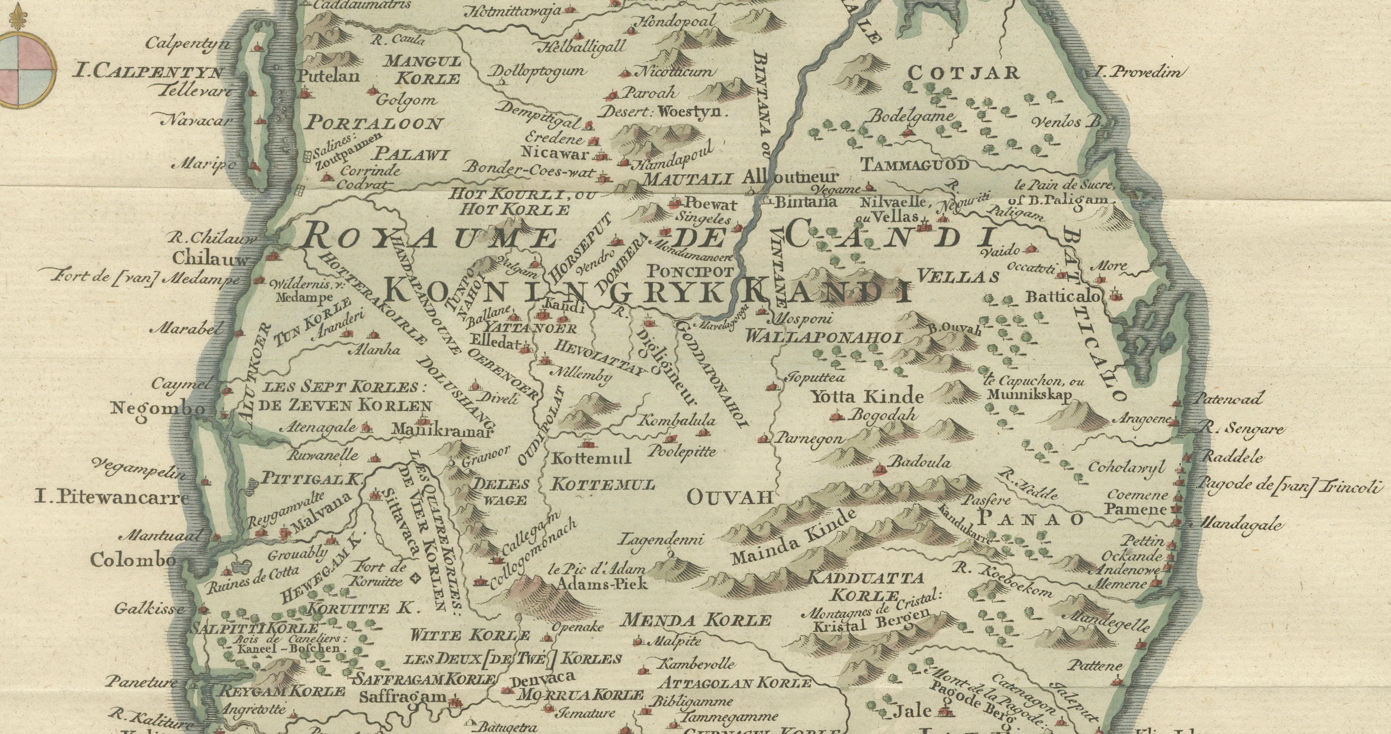
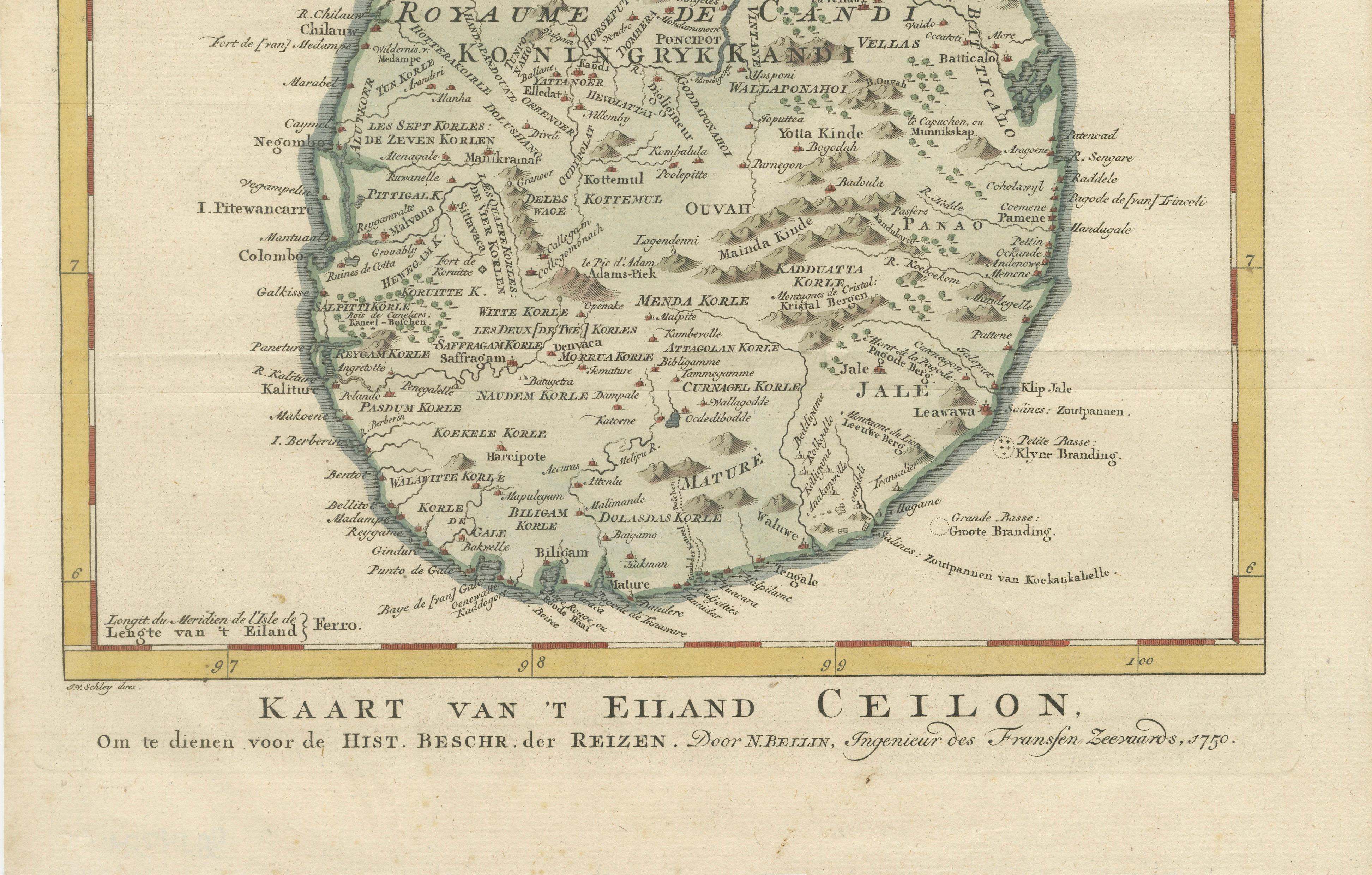
The map captures Sri Lanka during a fascinating period in its colonial and political history. It prominently marks the interior Royaume de Candi (Kingdom of Kandy), the powerful highland kingdom that remained independent while European powers controlled much of the coastline. Numerous coastal towns and trading settlements are shown, reflecting the strategic importance of the island in the Indian Ocean trade network. The map also identifies rivers, mountain ranges, and regional divisions, giving viewers insight into how European geographers understood the island’s geography in the mid-eighteenth century.
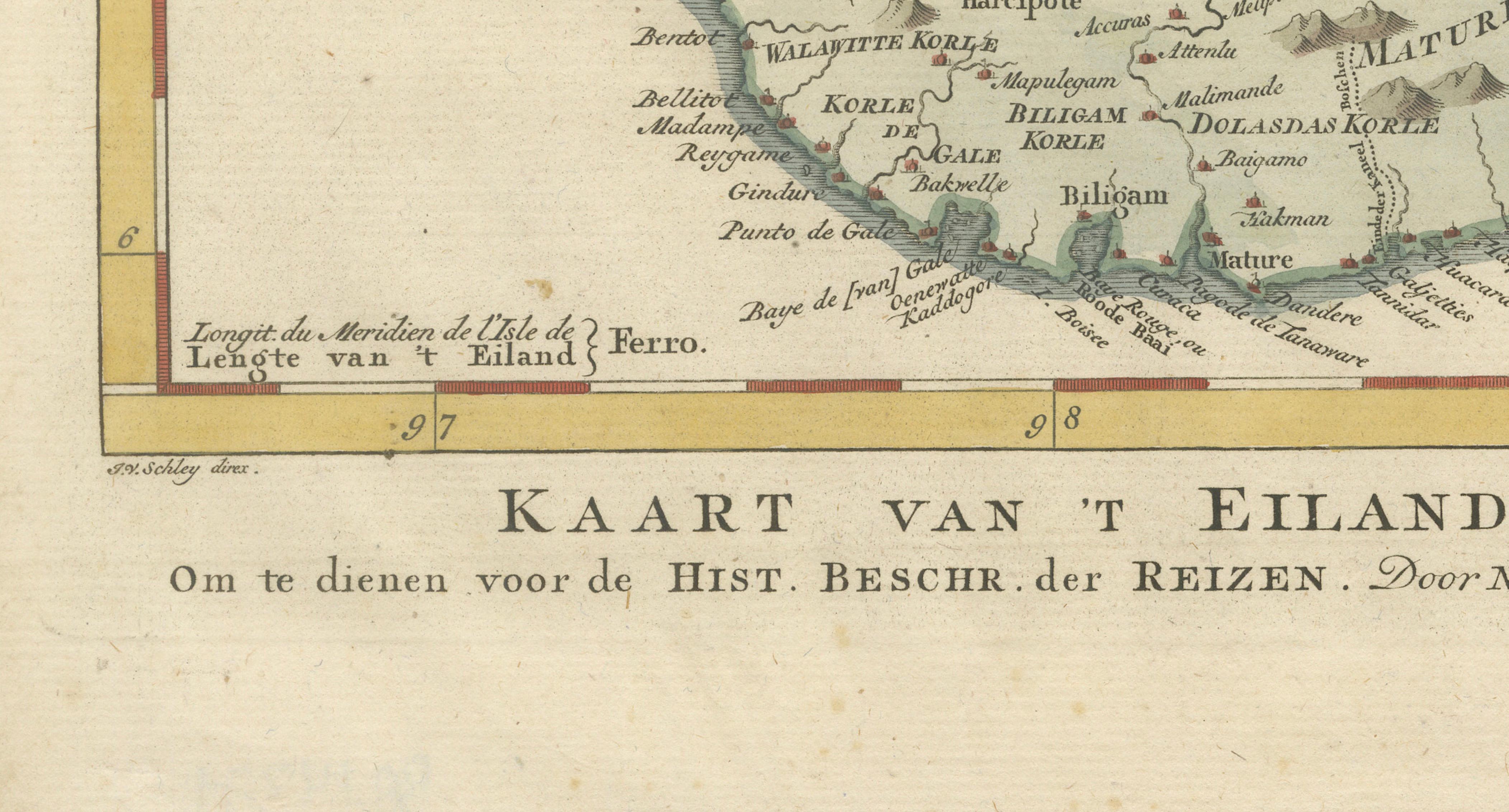
Decoratively, the map features a finely engraved rococo cartouche in the upper right corner containing the French title and publication information. The island itself is delicately hand-colored in soft greens and earth tones, contrasting with the surrounding sea and the elegant border frame with latitude and longitude references. The engraving demonstrates the refined craftsmanship typical of Bellin’s work and of Parisian cartographic production during the Enlightenment.
Today, Bellin’s maps are widely collected for their historical importance, clarity of design, and connection to one of the most influential travel publications of the eighteenth century. This map offers both historical depth and decorative appeal, making it an excellent choice for collectors of Asian cartography, colonial history, or elegant antique maps suitable for framing.
Condition:
Very good condition for a mid-18th century engraving. Light age toning to the paper with some faint handling marks typical of the period. The engraving impression remains clear and well preserved.
Framing tips:
This map displays beautifully in a classic dark walnut or ebony frame with a generous ivory or off-white mat. Such a presentation highlights the subtle hand coloring and the ornate cartouche while giving the piece a refined museum-quality appearance.
Technique: Copperplate engraving with original hand coloring
Maker: Jacques-Nicolas Bellin, Paris, 1750