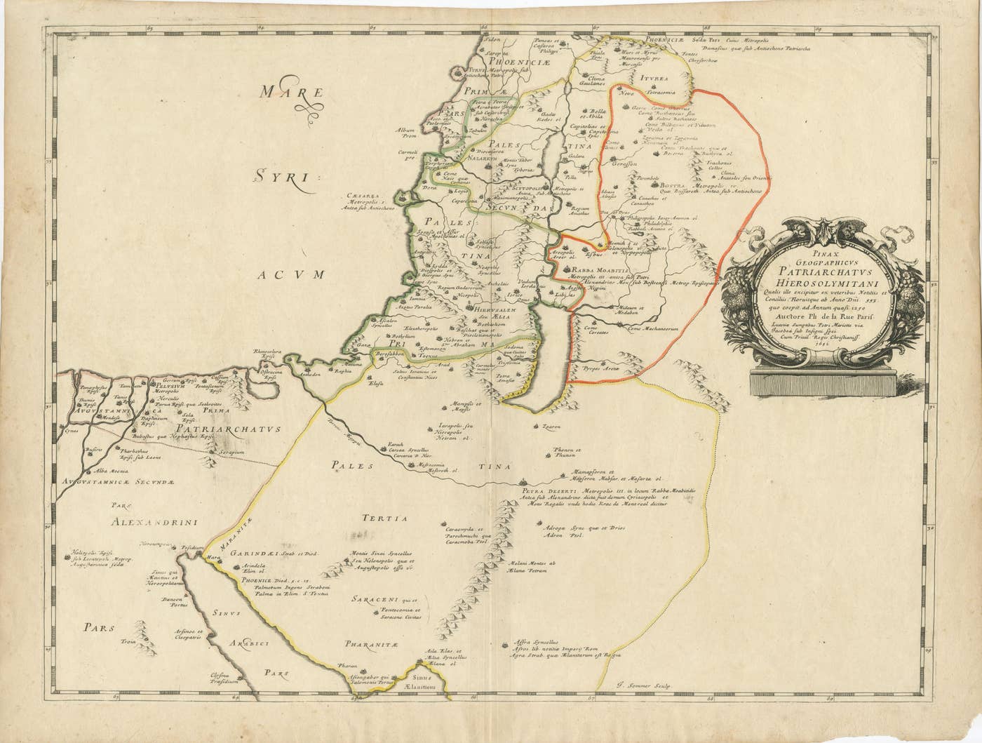
Antique Map Holy Land & Jerusalem — Patriarchatus Hierosolymitani, c1652
This original has been sold. We keep its page here as a record of what has passed through our hands.
- Sheet size
- 17.6 × 23.2 in (44.7 × 59 cm)
- Color
- Hand colored
- Condition
- Good
- Stock no.
- BG-14229-2
Antique Map Holy Land & Jerusalem — Patriarchatus Hierosolymitani, c1652
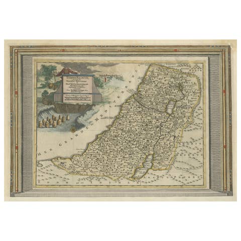
A finely engraved mid-17th century map of the Holy Land centered on Jerusalem and the Patriarchatus Hierosolymitani, published in Paris in 1652 and attributed to Philippe de la Rue. This historically rich cartographic work reflects early modern European efforts to reconstruct biblical geography through classical sources, church history, and scriptural interpretation.
The map is offered unframed, giving flexibility to select a frame that best suits the intended interior.
The map depicts the sacred geography of Palestine and surrounding regions, extending from Phoenicia and Syria southward through Judea to the Sinai Peninsula and Egypt. Major biblical and historical sites are carefully identified, including Jerusalem (Hierusalem seu Aelia), Bethlehem, Nazareth, Gaza, Jericho, and numerous ancient cities associated with early Christianity and the Old Testament. Regional divisions are delineated with subtle hand coloring, highlighting ecclesiastical jurisdictions and historical territorial boundaries.
The engraving demonstrates the scholarly cartographic tradition of 17th-century Paris, combining classical geographic knowledge with theological interpretation. Decorative restraint emphasizes clarity and intellectual authority, while the elaborate title cartouche on the right provides a refined visual anchor characteristic of French Baroque engraving. The cartographic content draws on ancient sources and ecclesiastical geography, presenting a visual synthesis of sacred history rather than strictly contemporary geography.
Such early Holy Land maps were produced for scholars, clergy, and collectors interested in biblical history, pilgrimage traditions, and sacred topography. Today they remain highly sought after by collectors of early cartography, biblical maps, and historical representations of the Middle East, valued both for their scholarly significance and decorative presence.
Framing tips: Particularly effective in a dark walnut or black frame with warm ivory matting to emphasize the historic hand coloring and engraved linework. Works well as a focal decorative piece in both classical and contemporary interiors.
Technique: Copperplate engraving Maker: Philippe de la Rue, Paris, 1652
You might also like
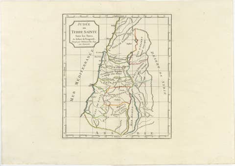 Judee ou Terre Sainte Map of the Holy Land and Jerusalem, c.18061806 · US$599
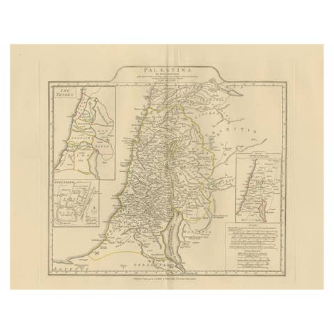 Antique Map of Biblical Palestine – Holy Land & Jerusalem Insets, c.18181818 · US$1,209
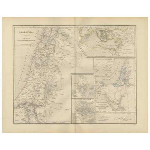 Palestine & Holy Land Map with Jerusalem Insets – Nieuwe Hand-Atlas, 18761876 · US$451
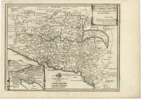 Antique Biblical Holy Land Map — Jerusalem, Palestine & Levant, De Fer 17031703 · US$462
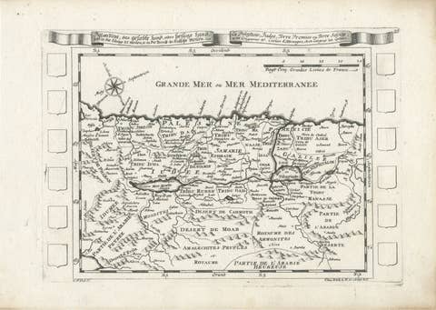 Antique Map of the Holy Land Palestine & Jerusalem, Elias Baeck ca. 17001700 · US$396
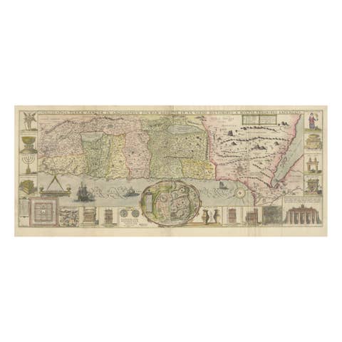 1632 Decorative Map of the Holy Land, Insets of Jerusalem and Biblical Artefacts1632 · US$1,758
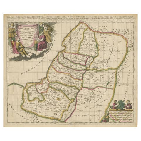 Antique Map of the Holy Land, Showing the Location of the Various TribesUS$1,319
 Antique Map of the Holy Land with Picture Frame BorderUS$967