Antique Maps of South-East Asia
298 original sheets
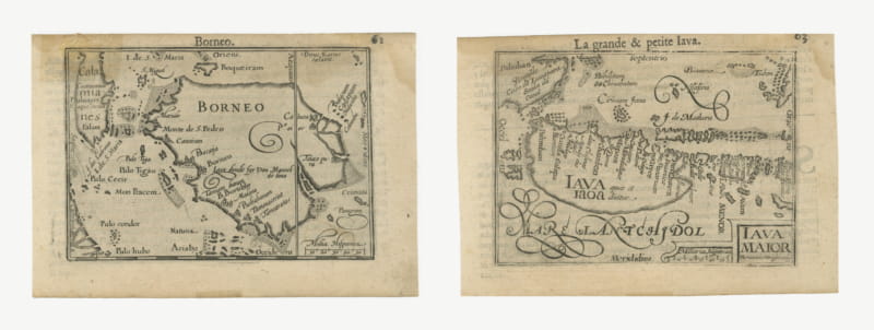
Borneo and Java, Miniature Maps by Petrus Kaerius, Pair, circa 1600
circa 1600 · € 780
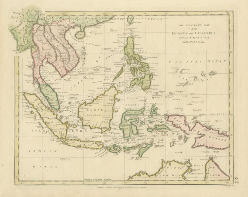
Antique Map of the Islands and Channels between China and New Holland, c. 1780
circa 1780 · € 390
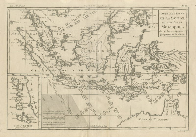
Antique Map of the Sunda Islands and the Moluccas by Bonne, circa 1780
circa 1780 · € 330
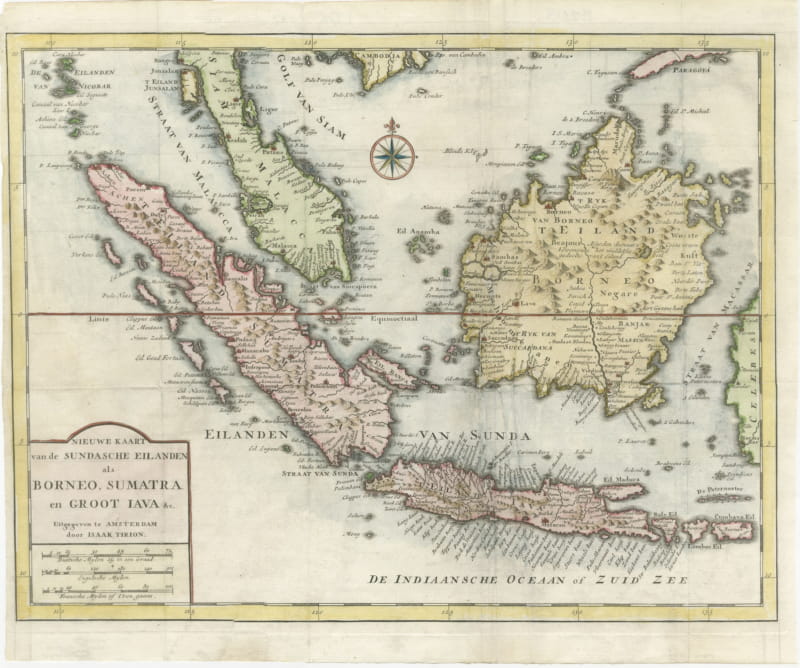
Tirion Map of Borneo, Sumatra and Java with the Strait of Sunda, circa 1755
circa 1755 · € 245
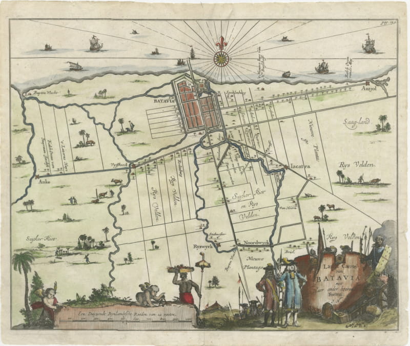
Walled Batavia and Its Outlying Forts, Dutch Engraved Plan, circa 1715
circa 1720 · € 490
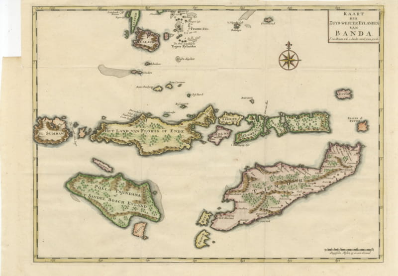
Hand-Colored Chart of Timor, Solor and the Southwest Banda Islands, 1726
1724-1726 · € 440
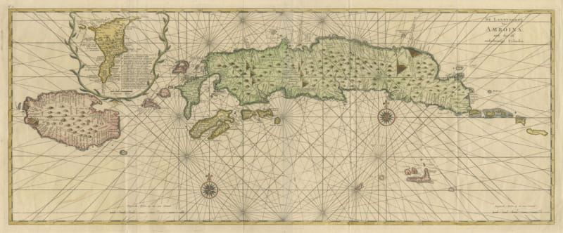
Amboina and Its Eleven Islands: Broad Valentijn Double-Page Chart, 1726
1724-1726 · € 740
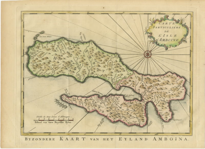
Map of Ambon Island with Chateau Victoria, Schley, circa 1753
circa 1753 · € 310
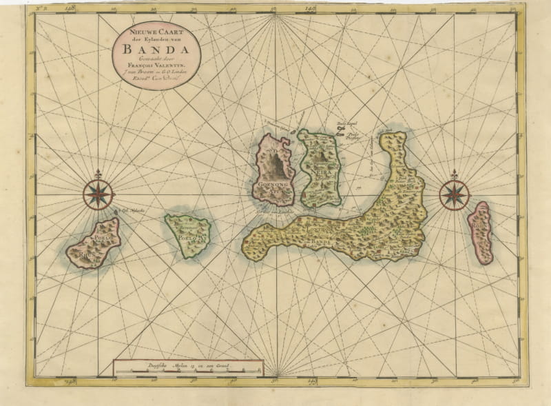
Valentijn Sea Chart of the Banda Nutmeg Islands with Poelo Rhun, 1726
1724-1726 · € 640
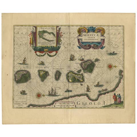
Antique Map of the Spice Islands 'Moluccas', Indonesia by W. Blaeu, circa 1640
1640 · € 1 400
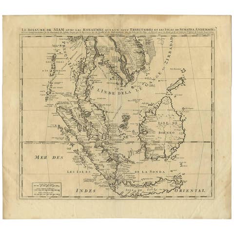
Antique Map of Southeast Asia by H. Chatelain, circa 1720
1720 · € 1 450
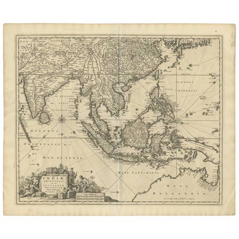
Antique Map of Southeast Asia 'India, Indonesia' by N. Visscher, circa 1670
1670 · € 1 950
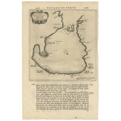
Antique Map of Manilla Bay Philippines by P. van der Aa, 1719
1719 · € 328
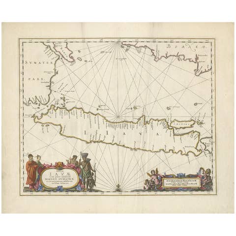
Antique Map of Java by Janssonius, circa 1650
1650 · € 2 950

Antique Map of Celebes 'Sulawesi, Indonesia' by Bellin, ciarca 1755
1755 · € 150
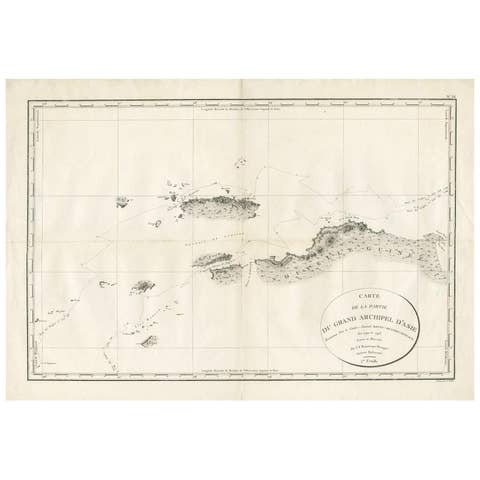
Antique Map of Indonesia by C.F. Beautemps-Beaupre, circa 1807
1807 · € 750
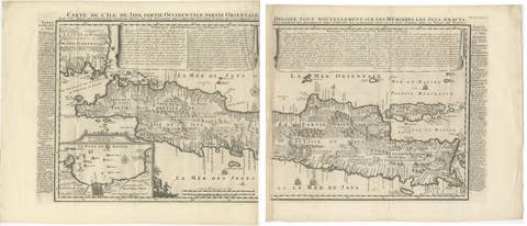
Antique Map of Java 'Indonesia' by Chatelain, 1719
1719 · € 2 500
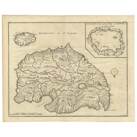
Antique Map of Boero in Indonesia by Valentijn, 1726
1726 · € 500
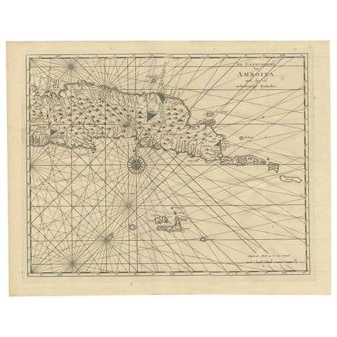
Antique Map of Ambon and Surroundings by Valentijn '1726'
1726 · € 550
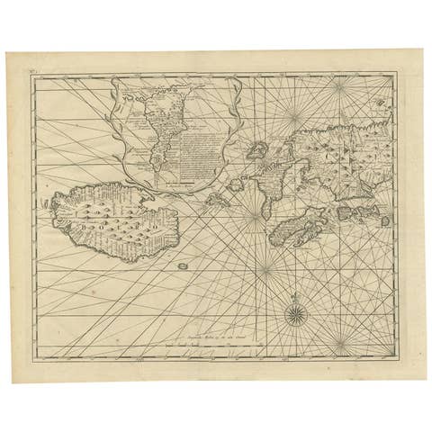
Antique Map of Ambon and Boero by Valentijn, 1726
1726 · € 500
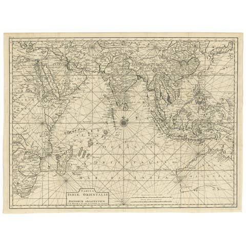
Antique Map of South East Asia, Australia and the Indian Ocean, 1726
1726 · € 7 200
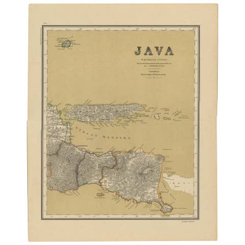
Antique Map of Java in 4 sheets by Dornseiffen, 1884
1884 · € 590
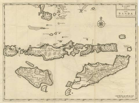
Antique Map of the Banda Islands in Indonesia by Valentijn, 1726
1726 · € 362
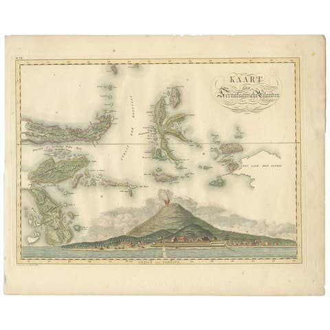
Antique Map of the Ternate Islands by Van den Bosch '1818'
1818 · € 829

Antique Map of Seram, Boero and the Banda Islands by Van den Bosch '1818'
1818 · € 1 078

Antique Map of Bantam, Jakarta and Cirebon by Van den Bosch '1818'
1818 · € 1 104
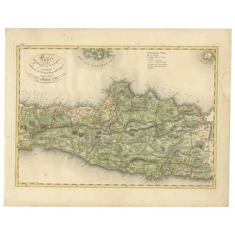
Antique Map of Central and East Java by Van den Bosch, 1818
1818 · € 1 104
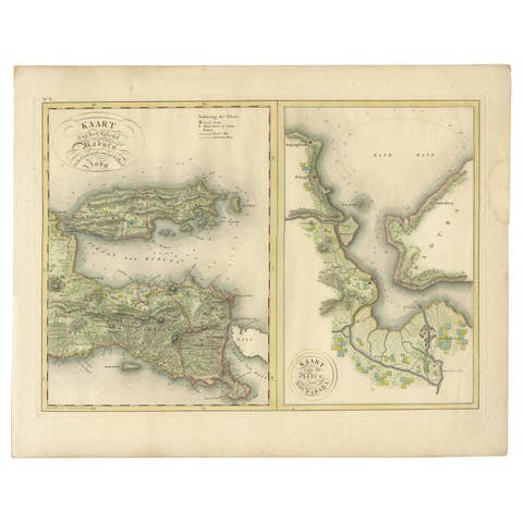
Antique Map of Madura and Surabaya by Van den Bosch, '1818'
1818 · € 1 104
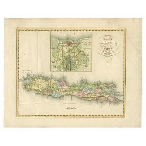
Antique Map of Java and Batavia of nowadays Indonesia, '1818'
1818 · € 829
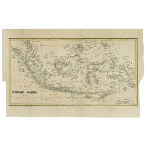
Antique Map of the East Indies by Van der Aa '1849'
1849 · € 400
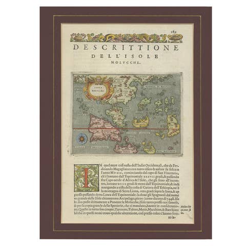
Antique Map of the Moluccas by Porcacchi, circa 1620
1620 · € 720
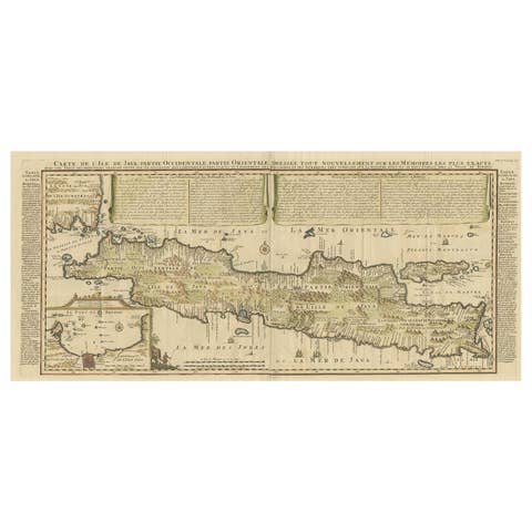
Antique French Map of Java, Indonesia by Chatelain, '1719'
1719 · € 1 914
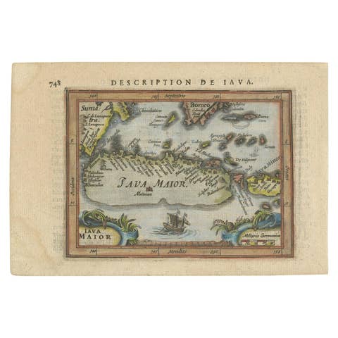
Antique Miniature Map of Java by Bertius/Hondius '1618'
1618 · € 550
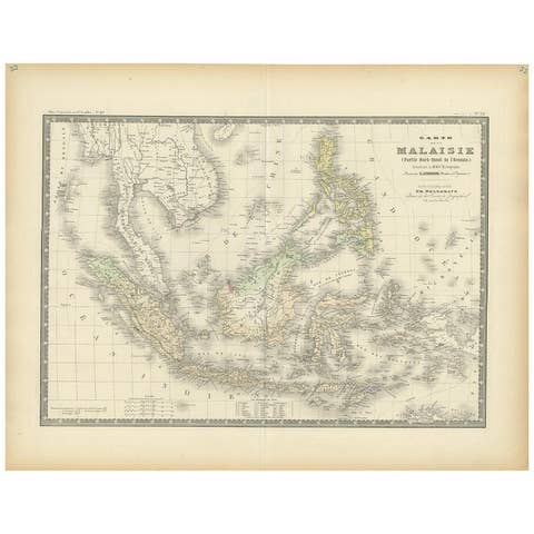
Antique Map of the East Indies by Levasseur, 1875
1875 · € 370
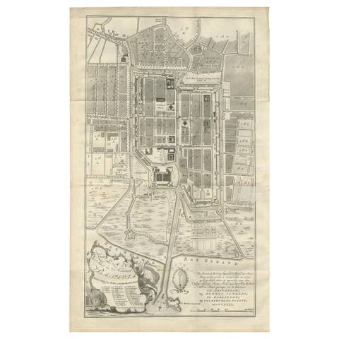
Antique Plan of Batavia by Van Krevelt, circa 1780
1780 · € 2 500
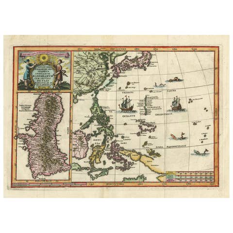
Antique Map of the Philippines and Guam by Scherer, circa 1702
1702 · € 1 800
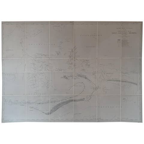
Large Antique Map of the East Indies by Brouwer, 1917
1917 · € 1 200

Antique Map and Views of Batavia by Homann Heirs, '1733'
1733 · € 2 500

Antique Map of the Malacca and Bangka Strait by De Mannevillette '1775'
1775 · € 1 200
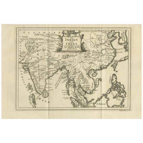
Antique Map of Southeast Asia by Van Dùren, 1752
1752 · € 450
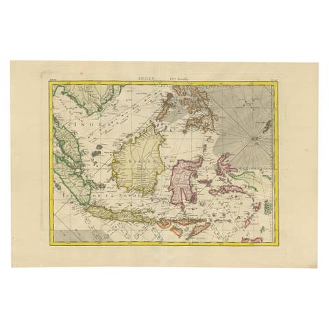
Antique Map of the East Indies by Bonne '1776'
1776 · € 650
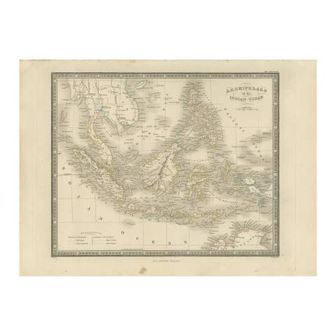
Antique Map of the East Indies by Wyld '1845'
1845 · € 350
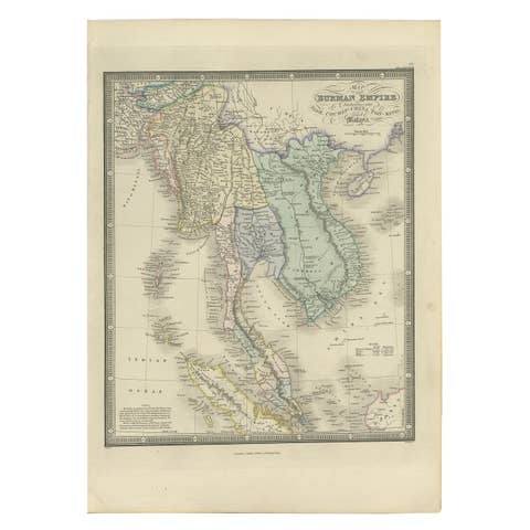
Antique Map of the Burmese Empire by Wyld, '1845'
1845 · € 250
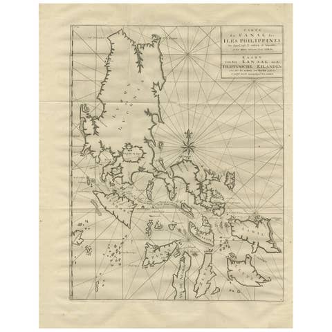
Antique Map of the Philippines by Anson, 1749
1749 · € 900
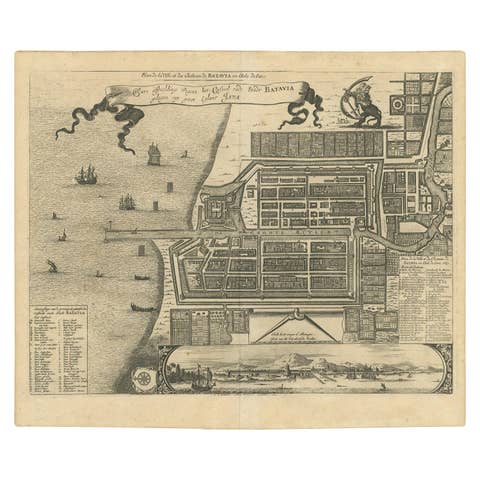
Antique Map of the City of Batavia by Van der Aa, circa 1730
1730 · € 1 200

Antique Map of the Philippines, Taiwan and Surroundings by Bonne '1780'
1780 · € 450
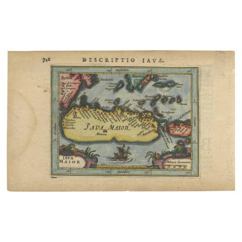
Antique Miniature Map of Java by Bertius '1618'
1618 · € 650
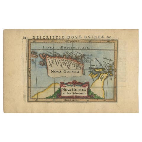
Antique Miniature Map of New Guinea by Bertius, '1618'
1618 · € 650