About this sheet
Antique Map Southeast Asia Siam Sumatra Java Rigobert Bonne 1787
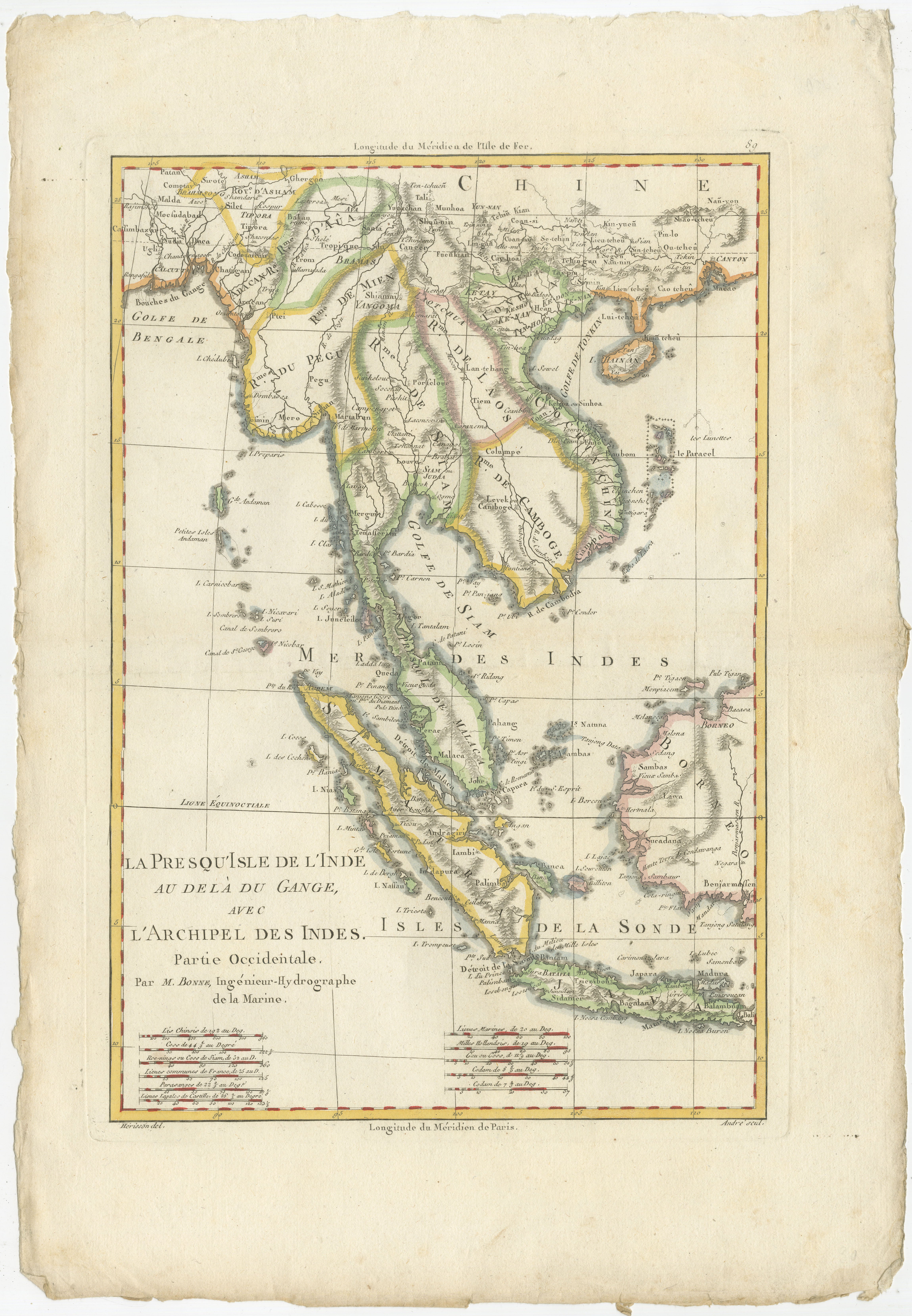
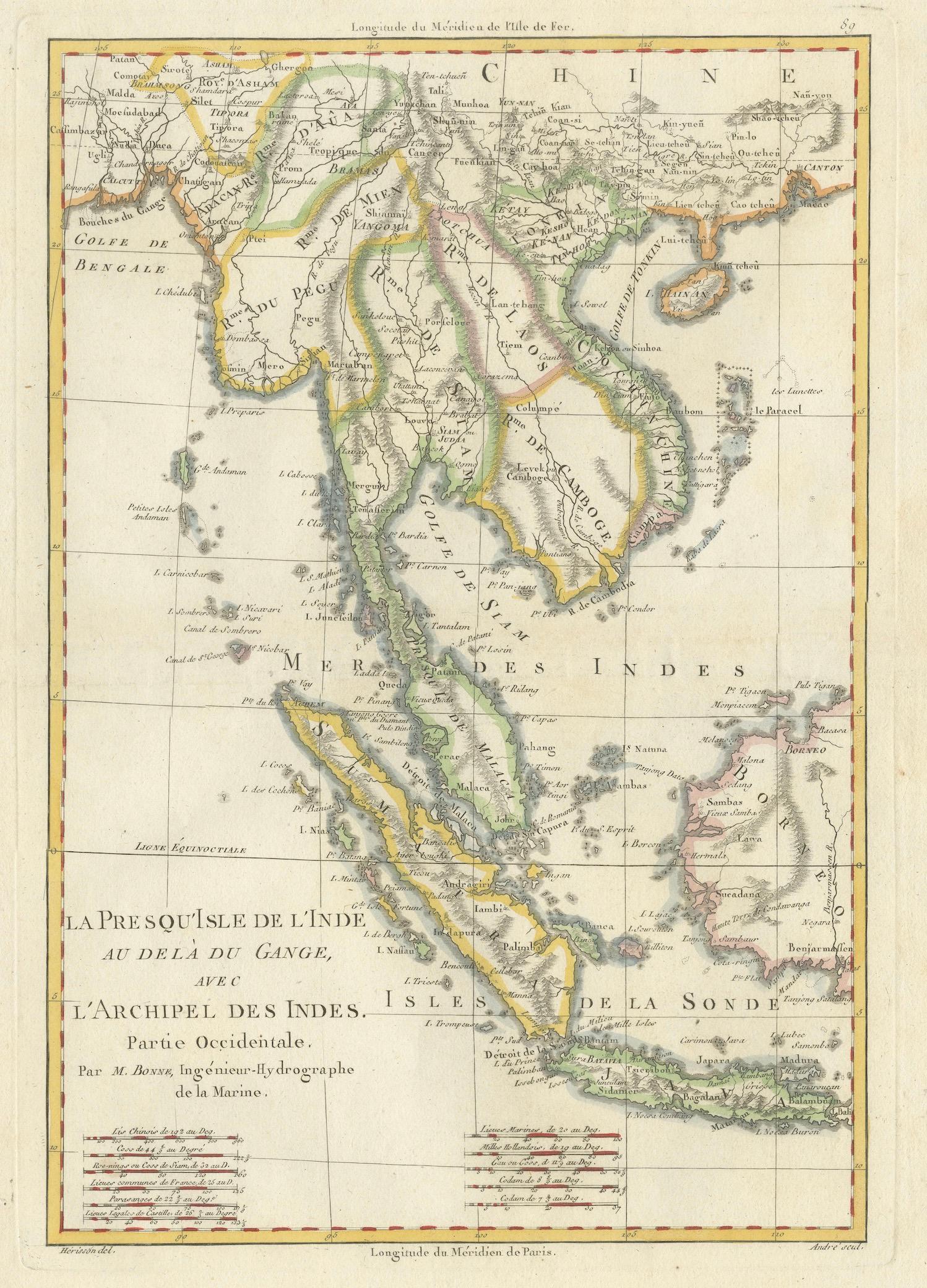
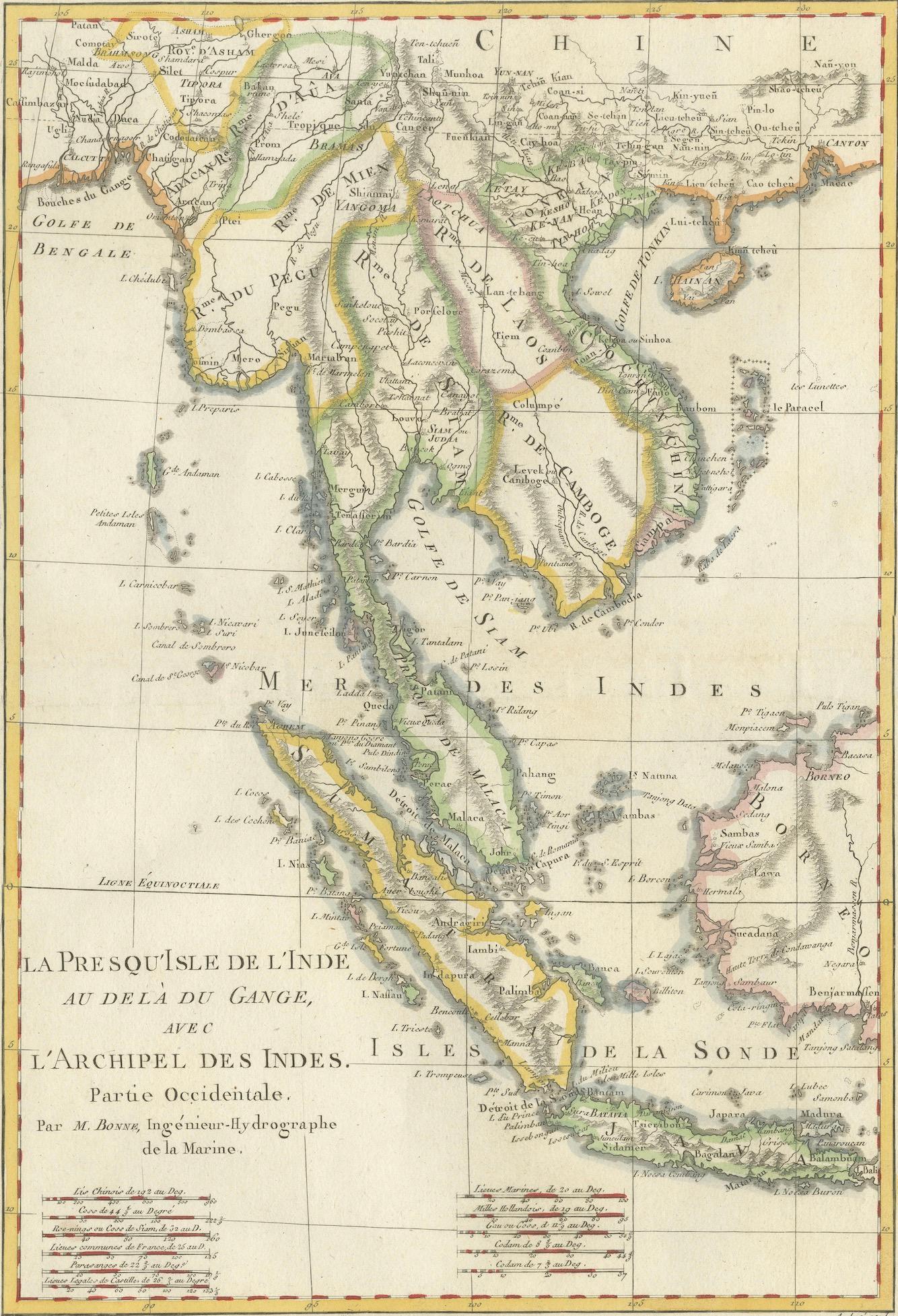
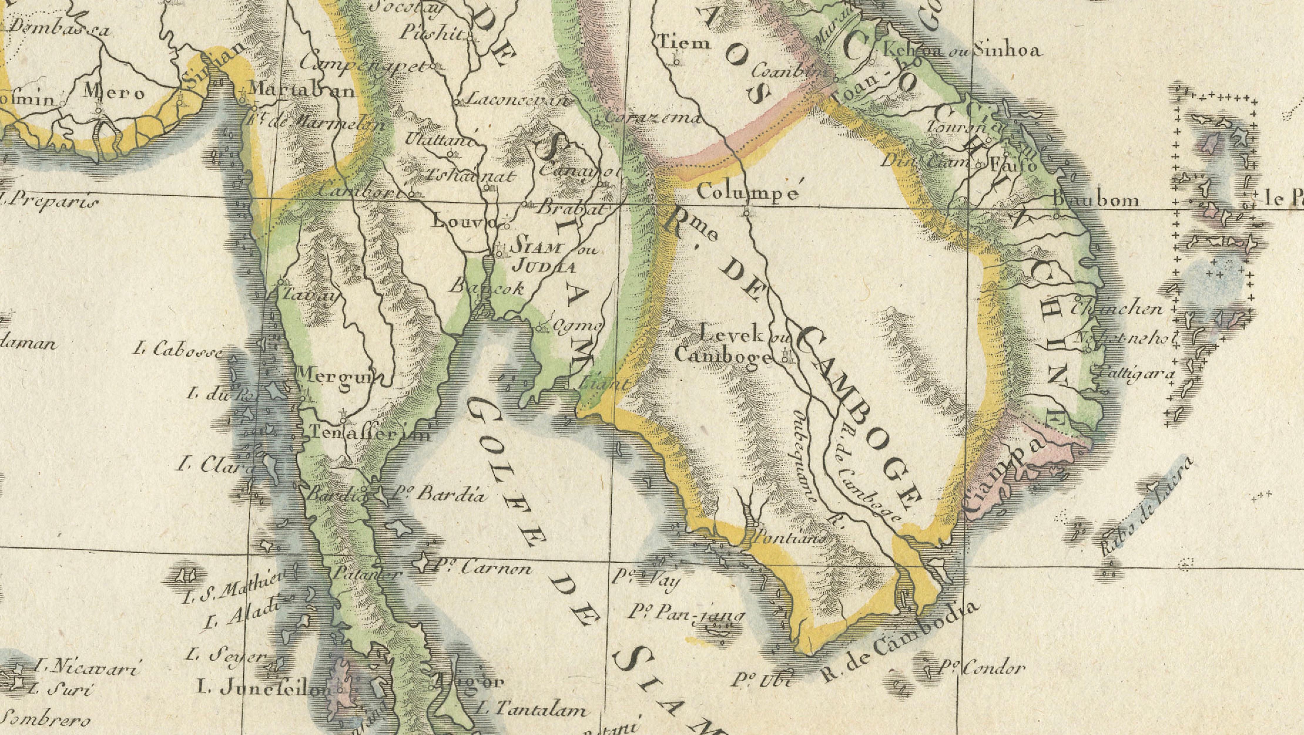
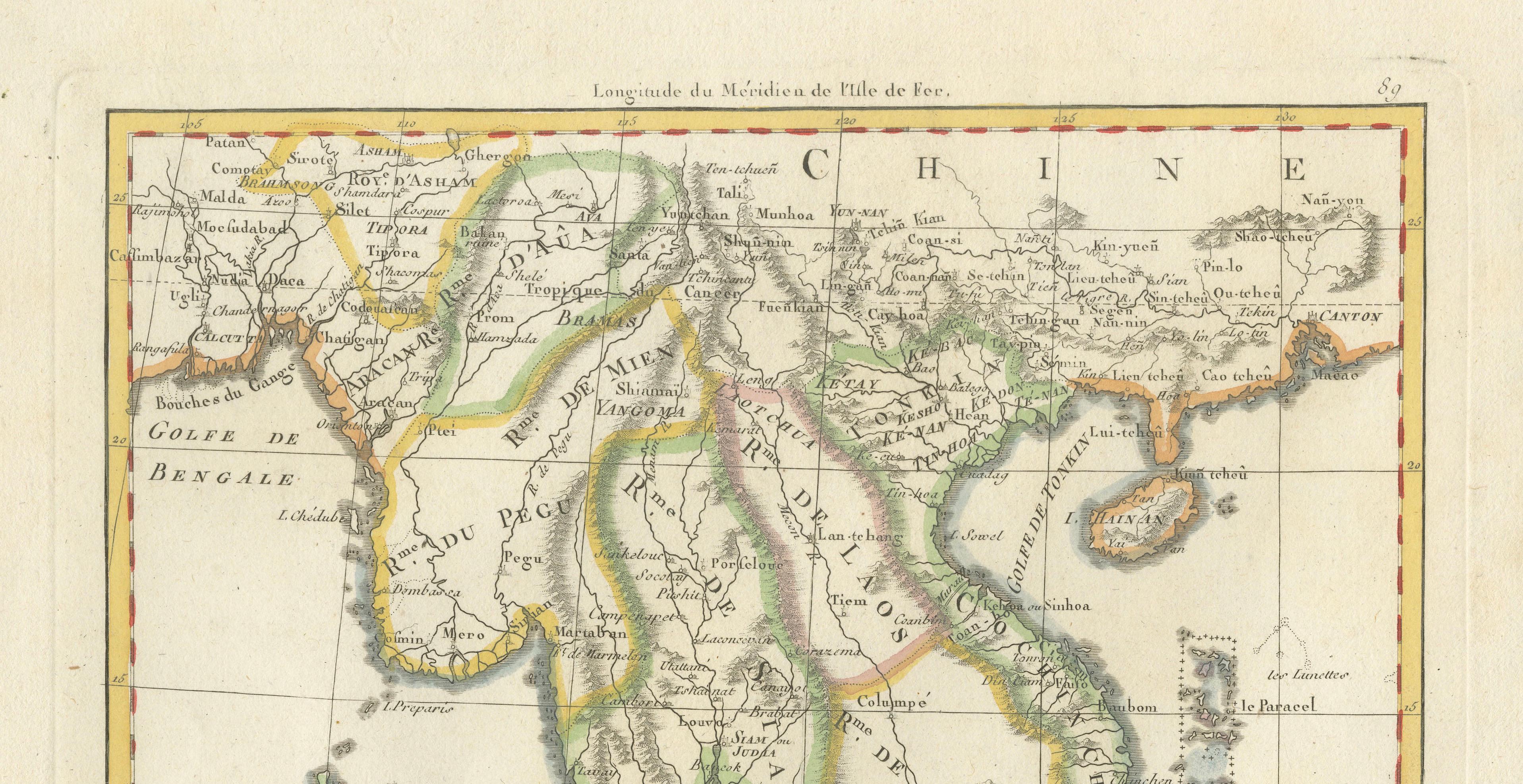
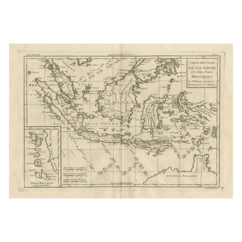
This refined late eighteenth-century map titled La Presqu’isle de l’Inde au delà du Gange, avec l’Archipel des Indes – Partie Occidentale was engraved by the influential French royal cartographer Rigobert Bonne around 1787–1788. The map illustrates a large portion of Southeast Asia, including present-day Thailand (historically Siam), Vietnam, Cambodia, Laos, the Malay Peninsula, and the important island regions of Sumatra and Java in the Indonesian archipelago.
Rigobert Bonne served as Ingénieur-Hydrographe de la Marine and was appointed Hydrographer to the King of France. He became one of the most respected cartographers of the Enlightenment period, producing maps noted for their clarity, scientific precision, and elegant design. Bonne worked closely with geographer Nicolas Desmarest, and many of his maps appeared in the influential Atlas Encyclopédique, a major Enlightenment project intended to present the world’s geography in a systematic and scholarly manner.
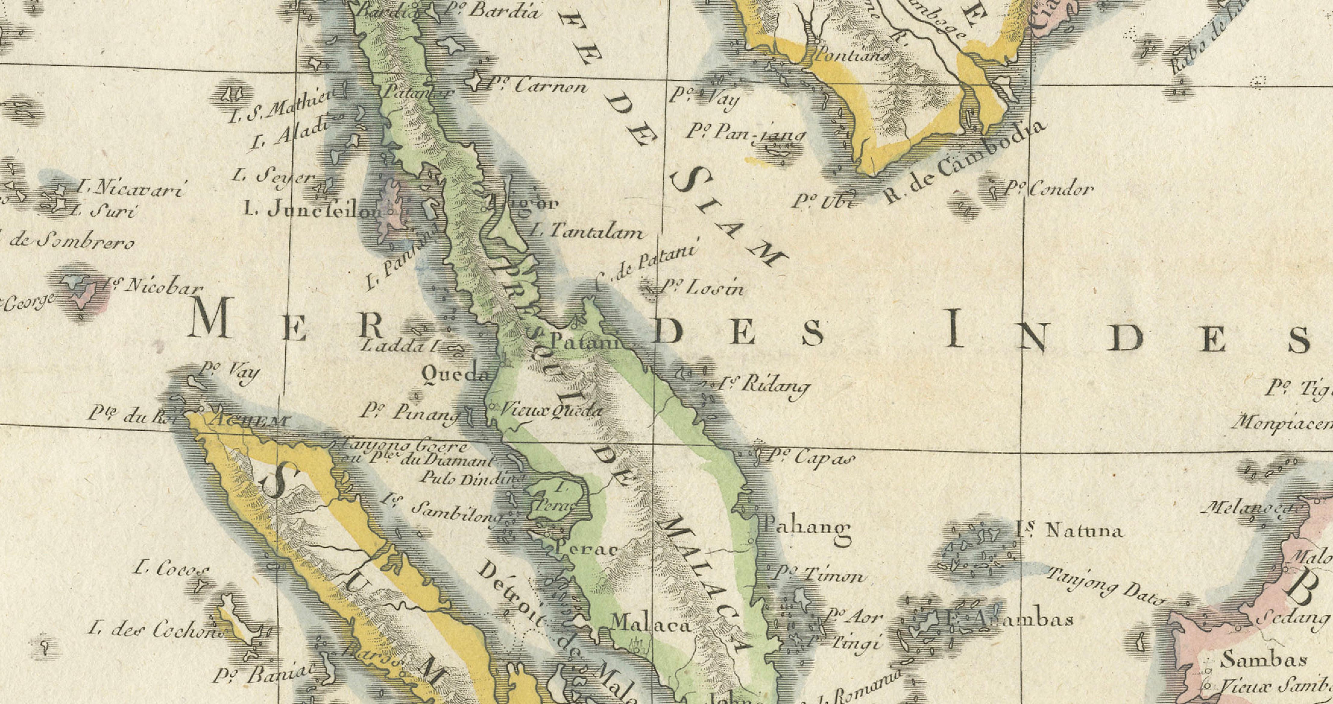
The map focuses on the western portion of the region historically referred to by Europeans as the East Indies. The Malay Peninsula is prominently depicted, extending southward between the Gulf of Siam and the Strait of Malacca. The islands of Sumatra and Java occupy the lower portion of the map, highlighting their importance within the maritime trade routes that connected Europe, India, and China. Numerous coastal settlements, rivers, mountain ranges, and regional divisions are carefully engraved, reflecting the growing European understanding of Southeast Asian geography during the late eighteenth century.
Particular attention is given to maritime geography. The waters surrounding the peninsula and the Indonesian islands were vital corridors for trade in spices, textiles, and other commodities that fueled European colonial expansion. The map’s layout emphasizes these coastal zones and navigational routes, illustrating the strategic significance of the region within the global trading networks of the period.
The title cartouche, positioned in the lower left corner, identifies Bonne’s official position as hydrographer to the French Navy. The map is surrounded by a decorative yet restrained border, with longitude markings based on both the Paris Meridian and the Ferro Meridian, which were standard references in French cartography prior to the later international adoption of the Greenwich Meridian.
Delicate original hand-coloring highlights regional divisions and enhances the visual clarity of the engraved geography. The balanced composition and fine engraving exemplify the aesthetic refinement of French cartography in the Enlightenment era. Today, maps by Bonne remain highly regarded for their historical importance and their elegant, decorative appeal.
Condition:
Good condition for an eighteenth-century map. The sheet shows light age toning, minor edge wear, and irregular margins typical of the period. The engraving remains clear and the original hand-coloring is well preserved.
Framing tips:
This map frames beautifully in a dark walnut, black, or ebonized frame with a generous ivory or cream mat. Such a presentation highlights the subtle hand coloring and the elegant engraved detail while giving the piece a refined museum-quality appearance suitable for both traditional and contemporary interiors.
Technique: Copperplate engraving with original hand coloring
Maker: Rigobert Bonne, Paris, circa 1787–1788