About this sheet

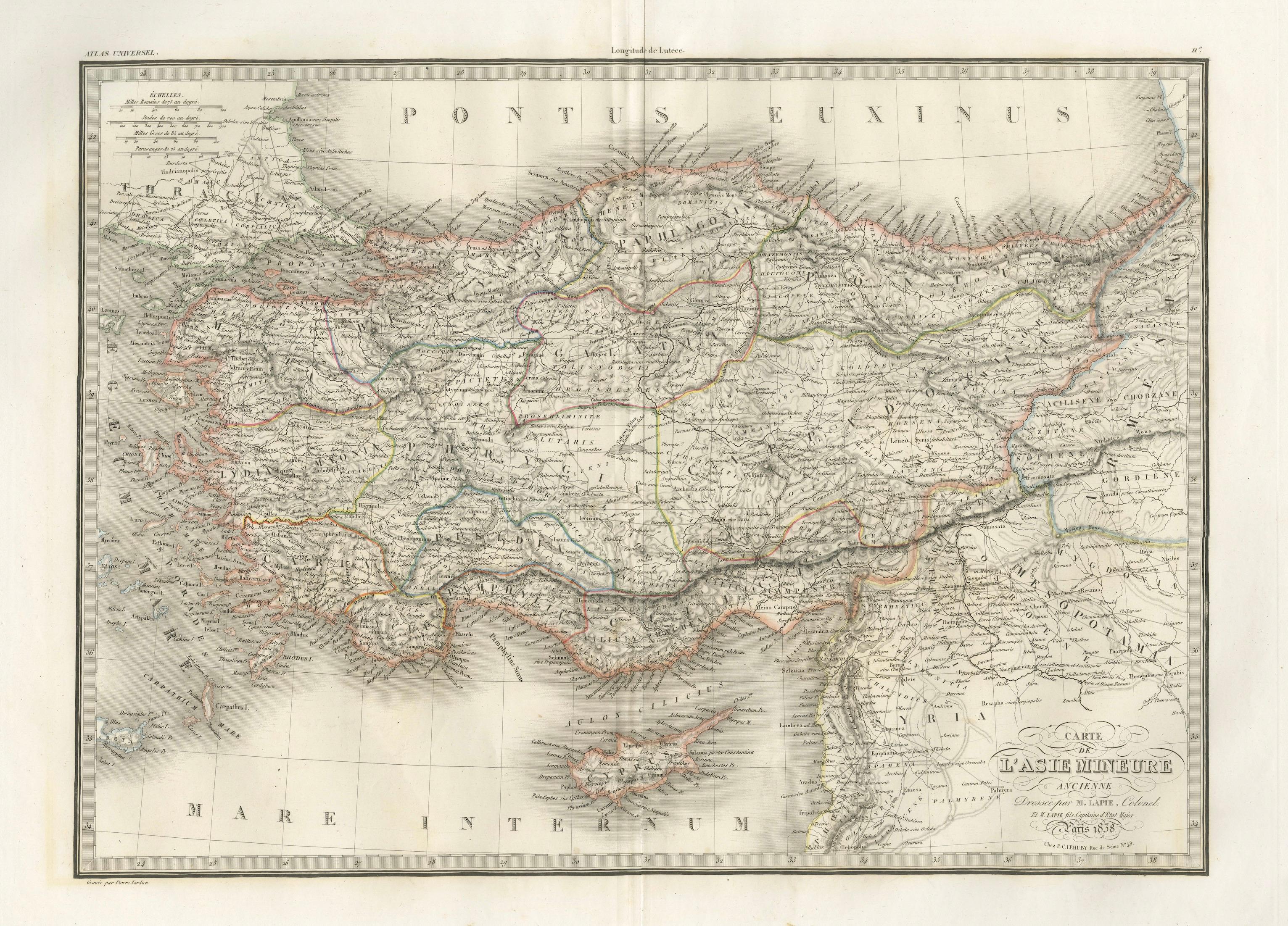
Antique Map Asia Minor, Turkey & Levant – Lapie, Tardieu, 1838
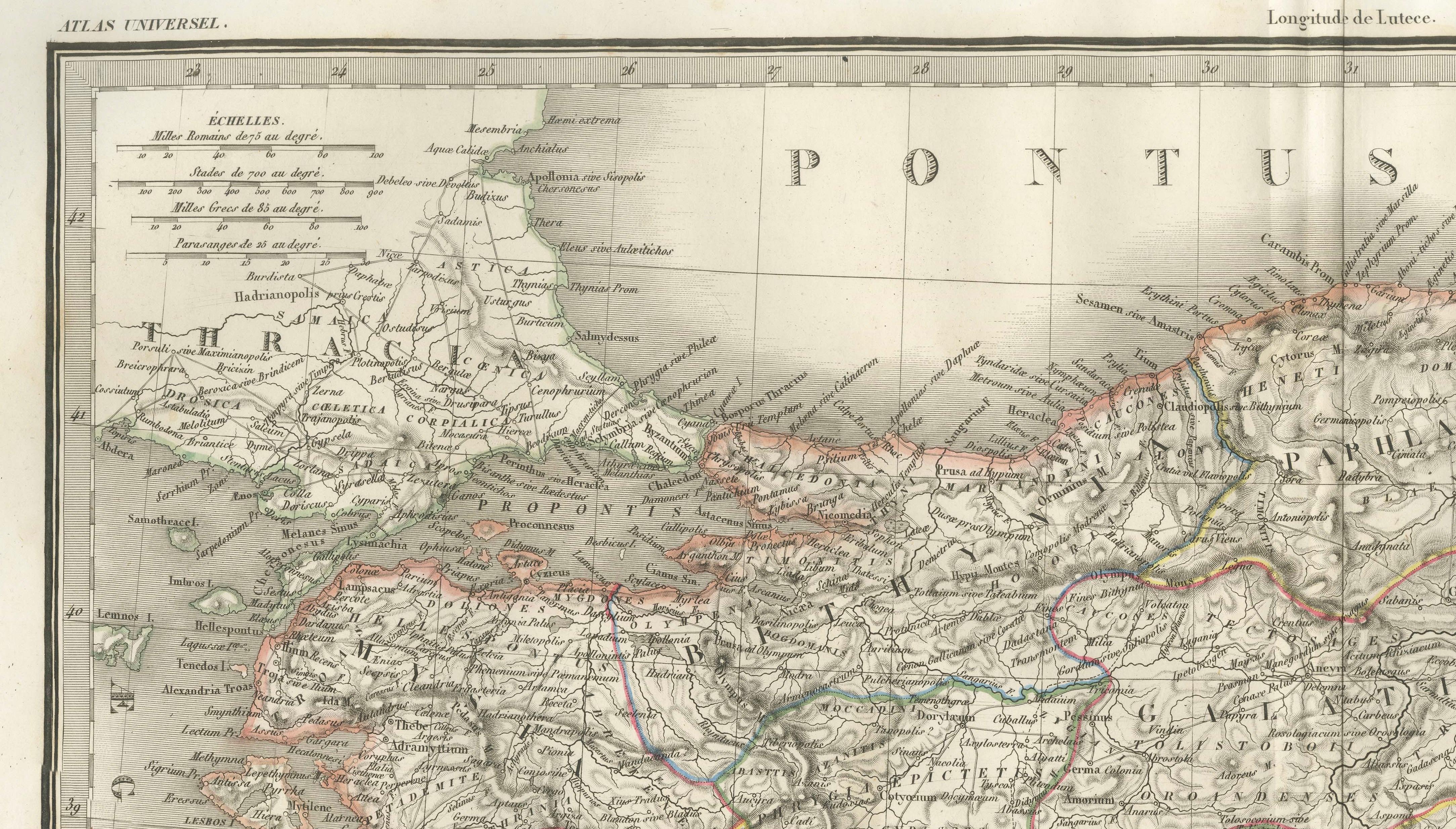
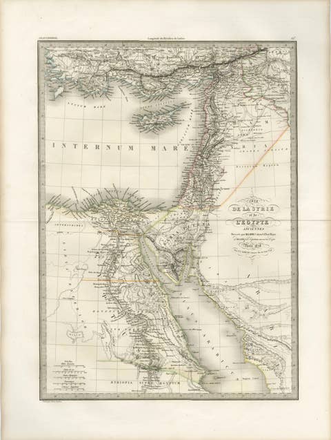
This finely engraved and delicately hand-colored map of Asia Minor was published in Paris in 1838 as part of the renowned Atlas Universel de Géographie Ancienne et Moderne by the distinguished French cartographer M. Lapie. Covering the entirety of Anatolia (modern-day Turkey) and extending into the Levant and parts of Mesopotamia, the map reflects the high level of scholarly precision and aesthetic refinement characteristic of early 19th-century French cartography.
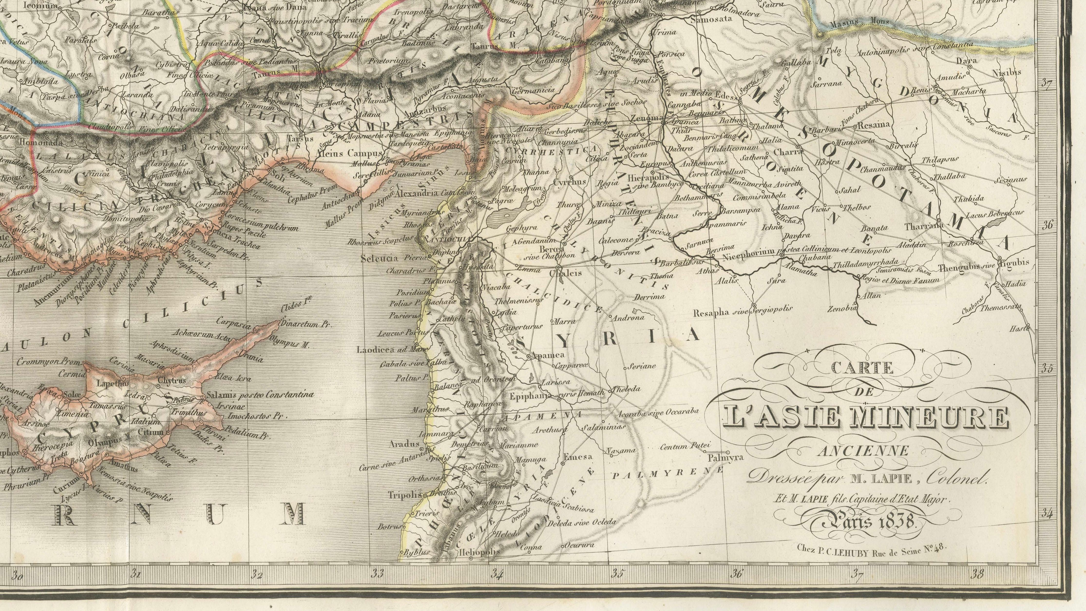
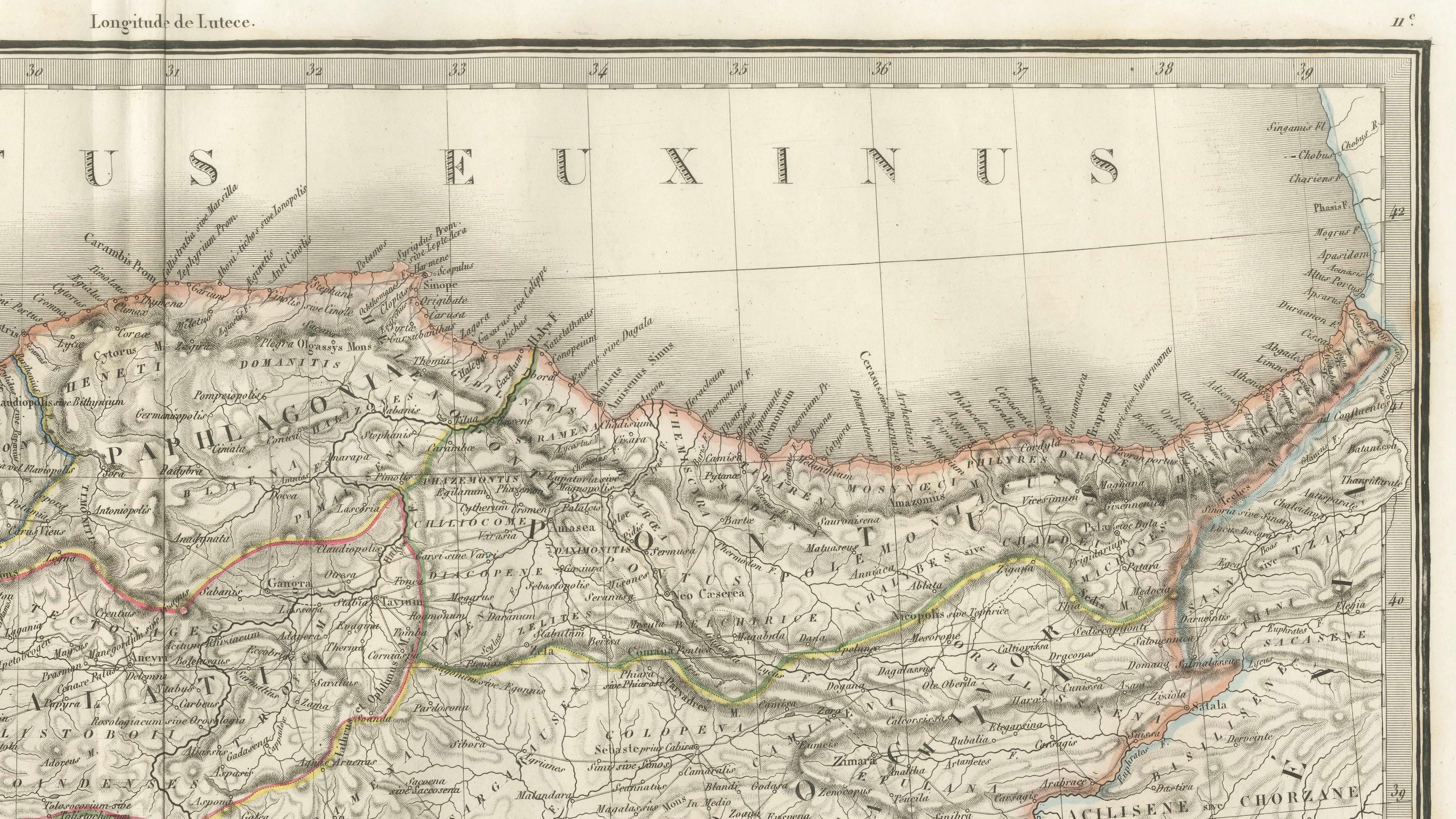
The composition is both balanced and richly detailed, with an emphasis on topography, historical regions, and administrative divisions. Mountain ranges are rendered with subtle hachuring, while rivers, cities, and ancient regions such as Cappadocia, Galatia, Bithynia, Phrygia, and Cilicia are clearly delineated. The surrounding seas are labeled with classical nomenclature, including Pontus Euxinus (Black Sea) and Mare Internum (Mediterranean), reinforcing the map’s grounding in both ancient and modern geographical understanding. Cyprus is prominently shown, and the eastern extension includes parts of Syria and Armenia, situating the map within a broader Near Eastern context.
The engraving was executed by Pierre Antoine Tardieu, a member of the esteemed Tardieu family of French engravers, known for their precise and elegant linework. His craftsmanship is evident in the clarity of the lettering and the fine delineation of terrain, contributing to both the map’s readability and its decorative appeal. Original hand coloring enhances regional boundaries without overwhelming the composition, maintaining a refined and harmonious palette.
This map stands as both a valuable historical document and an elegant decorative object. It is particularly well suited for display in a study, library, or curated interior, where its classical subject matter and restrained aesthetic can be fully appreciated.
Condition: Very good condition overall. Light toning consistent with age and a visible central fold as issued. Margins are generous and clean. Minor spotting in places. No major tears or restorations observed. Plate mark visible.
Framing tips: This map would present beautifully in a dark walnut or black frame with a wide ivory or off-white mat to emphasize its classical tone. For a more contemporary interior, a slim black frame with a floating mount can create a refined gallery effect while preserving the map’s historical character.
Technique: Engraving with original hand coloring
Maker: M. Lapie, engraved by Pierre Antoine Tardieu, Paris, 1838
Keywords: Asia Minor, Anatolia, Turkey, Ottoman Empire, Pontus Euxinus, Black Sea, Mare Internum, Mediterranean Sea, Constantinople, Istanbul, Bosphorus, Dardanelles, Asia Minor provinces, ancient geography, classical antiquity, Greek world, Roman Asia Minor, Byzantine Empire, Cappadocia, Galatia, Bithynia, Phrygia, Lycia, Caria, Cilicia, Armenia, Mesopotamia, Levant, Syria, Cyprus, ancient trade routes, historical cartography, 19th century map, French cartography, Atlas Universel, Lapie map, Tardieu engraving, antique map Turkey, antique map Middle East, decorative map Asia Minor, scholarly map 1838, classical geography map, engraved map France, hand-colored engraving, antique geography print