About this sheet
Antique View of Surat & Plan of Batavia — VOC India & Indonesia, Chatelain, c.1719
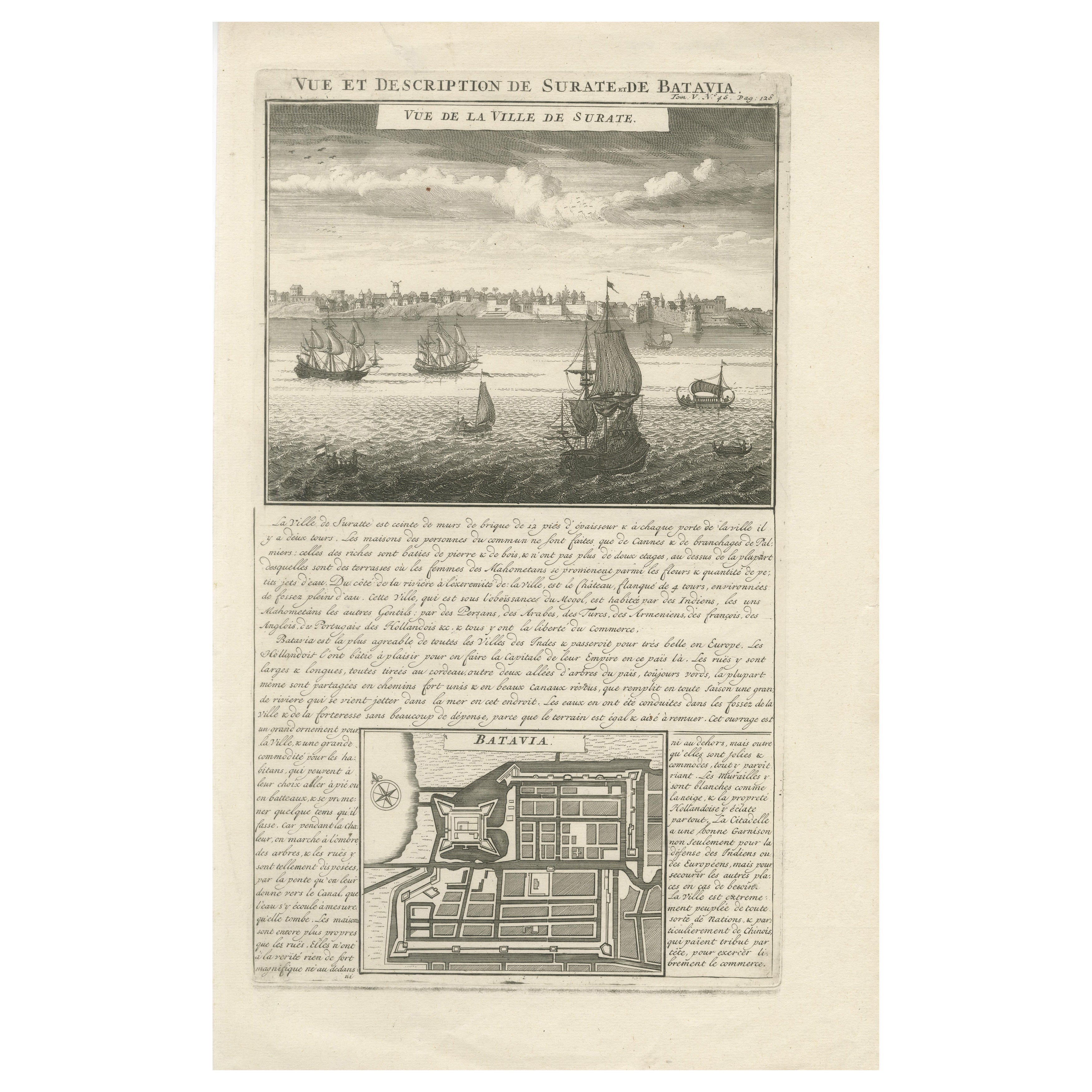
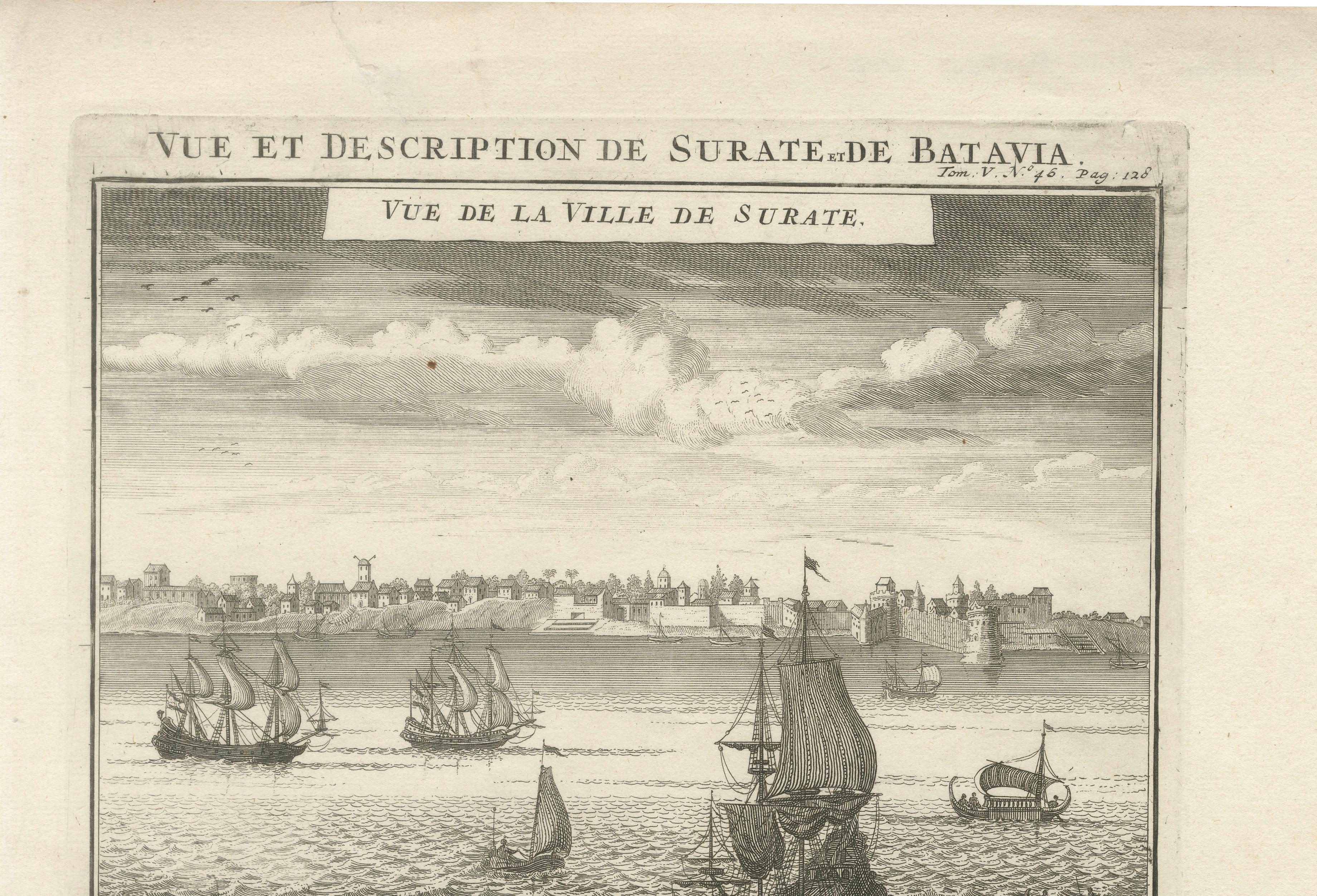
This finely engraved early 18th-century copperplate titled “Vue et Description de Surate et de Batavia” was published in Amsterdam around 1719 by Henri Abraham Chatelain as part of his monumental Atlas Historique. The sheet presents a fascinating dual portrait of two major trading centers of the Dutch East India Company (VOC): Surat in Mughal India and Batavia (modern Jakarta) in the Dutch East Indies.
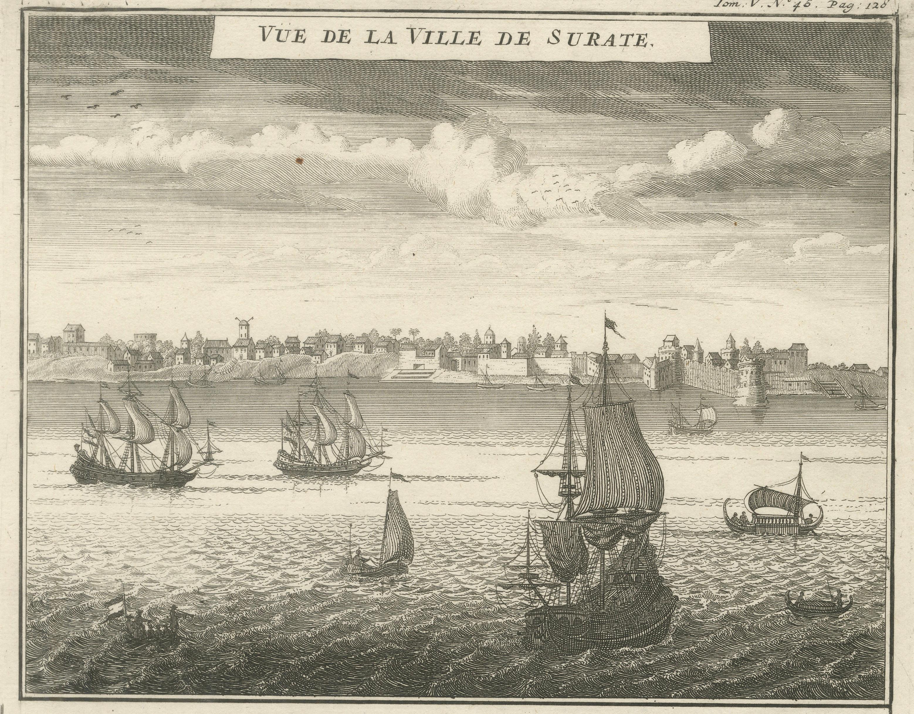
The upper half features a panoramic “Vue de la Ville de Surate,” depicting the bustling riverfront city with numerous sailing vessels anchored offshore. European-style ships, local craft, and fortified riverbanks illustrate Surat’s importance as a major port of the Mughal Empire. The skyline shows towers, domes, and fortified structures stretching along the horizon. The accompanying French text describes the multicultural character of the city — inhabited by Indians, Muslims, “Gentiles,” Arabs, Turks, Armenians, French, English, and Dutch — all enjoying relative freedom of trade. The text further notes the architectural distinctions between common reed houses and stone residences of wealthy merchants, offering valuable ethnographic and commercial context.
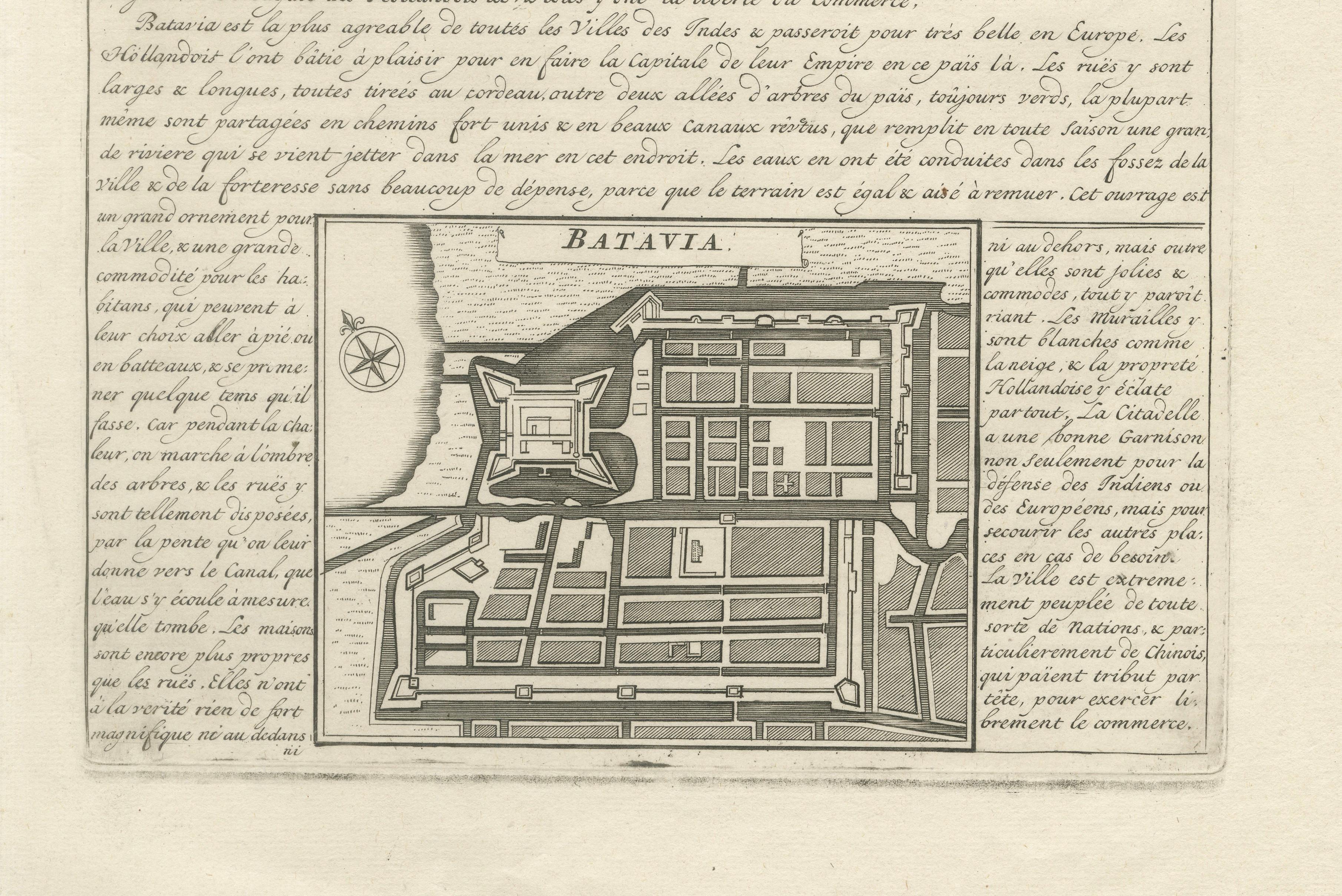
The lower section centers on Batavia, the VOC’s Asian headquarters. A detailed engraved plan labeled “Batavia” shows a fortified urban layout with rectilinear streets, canals, defensive walls, and bastions — reflecting Dutch urban planning principles transplanted to Southeast Asia. A compass rose enhances the cartographic character of the composition. The text describes Batavia as the most agreeable city in the Indies, emphasizing its broad streets, canal systems, strong fortifications, and cosmopolitan population. It highlights the Dutch ambition to create a European-style capital in Asia, complete with a substantial garrison and carefully organized civic infrastructure.
This plate beautifully illustrates the interconnected global trade network of the early 18th century, linking Mughal India and the Dutch East Indies through maritime commerce. Within Chatelain’s Atlas Historique, such engravings combined geography, commerce, and ethnographic observation into visually compelling reference works for Enlightenment readers eager to understand the expanding world.
For collectors focused on VOC history, Dutch colonial urban planning, or early modern India, this engraving represents an important historical document with strong decorative appeal. The balanced composition — panoramic view above and architectural plan below — makes it particularly suitable for framing as a statement piece in a study, office, or gallery wall.
These are original print(s) from the year of publication, not later reproductions. The print is offered unframed, enabling custom framing to personal or interior preferences. Any framed images shown are for visual inspiration only.
Condition report: Good antique condition consistent with early 18th-century atlas engravings. Age-related toning present; light handling wear to margins. One small tear touching the image; plate impression visible.
Framing tips: A dark walnut or ebonized frame with a generous ivory mat enhances the maritime panorama and geometric clarity of the Batavia plan. UV-protective museum glass is recommended to preserve the paper and highlight the fine engraved detail.
Technique: Copperplate engraving
Maker: Henri Abraham Chatelain, Amsterdam, circa 1719