About this sheet
Antique Map Philippines – Moluccas, Celebes, Spice Islands – Tirion, c.1738
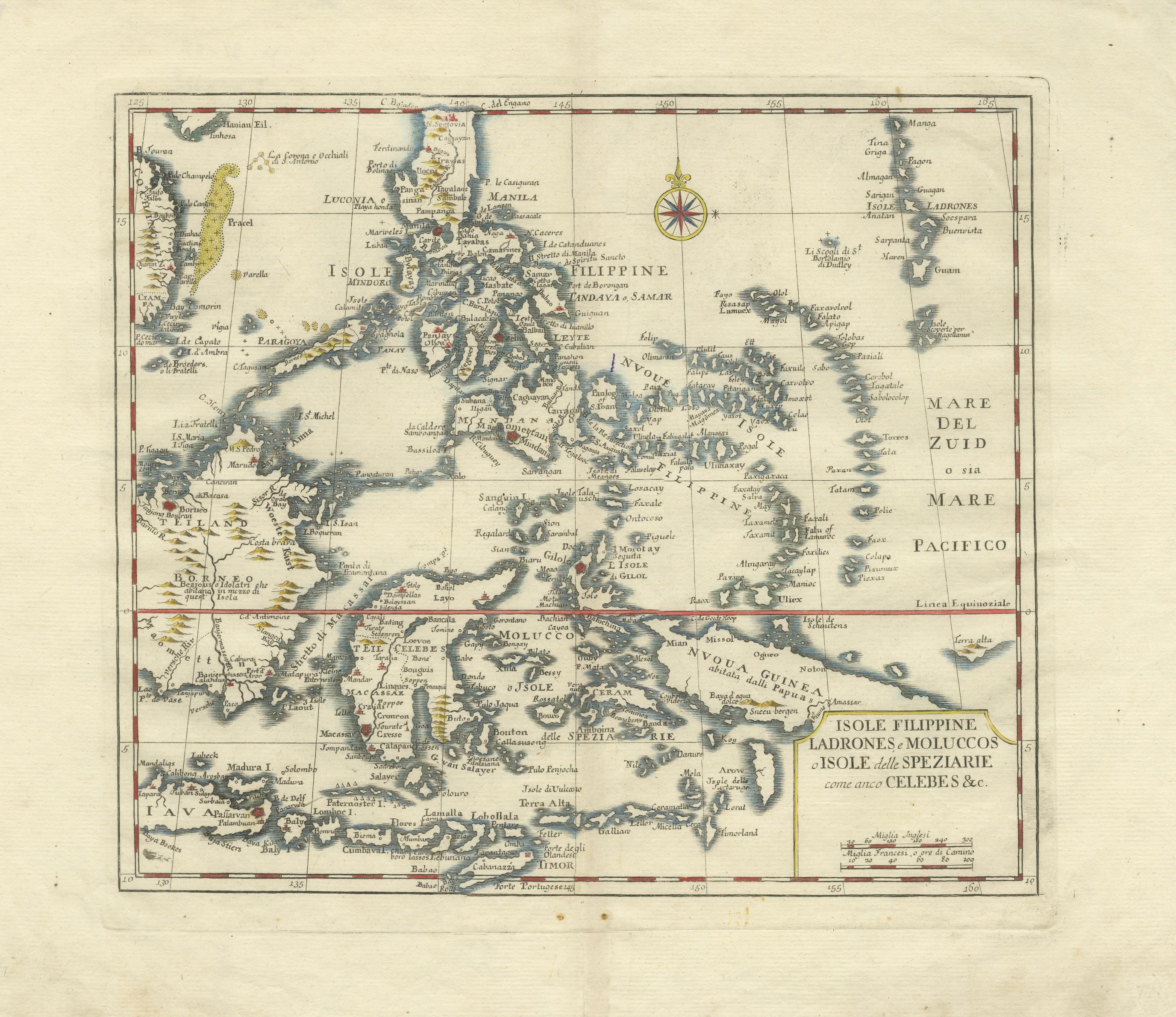
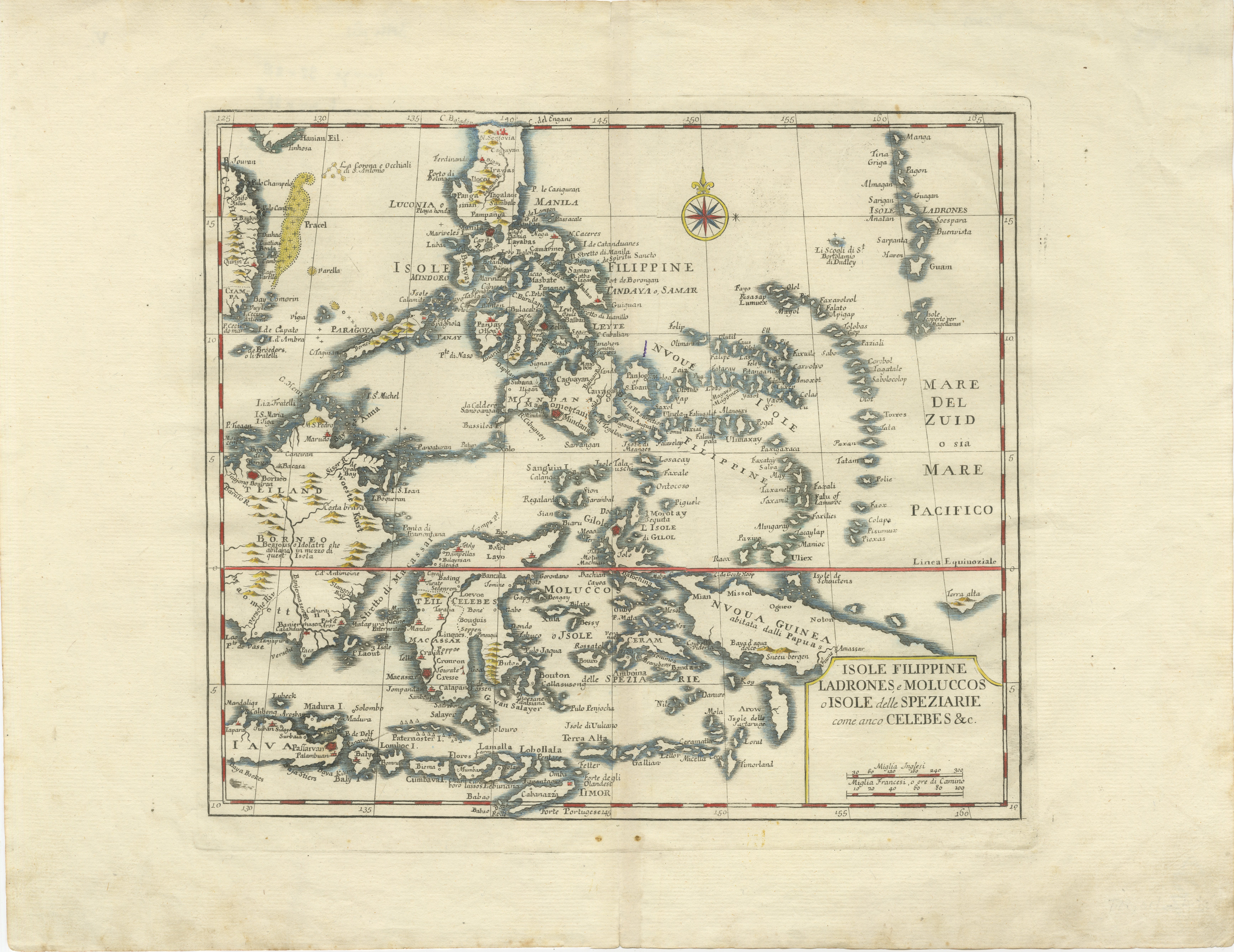
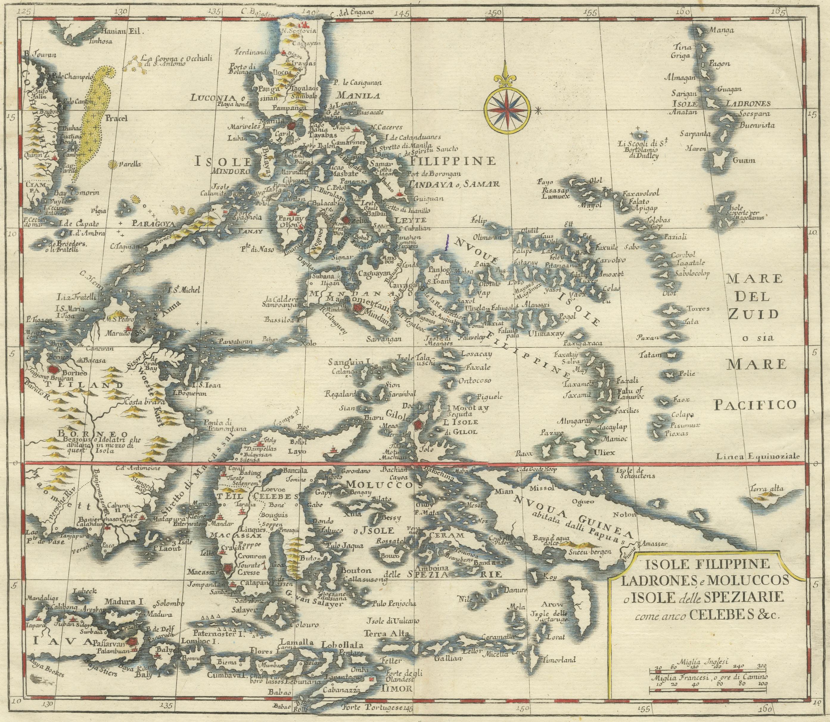
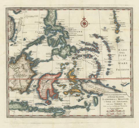
This elegant 18th-century engraved map presents the Philippines together with the famed Spice Islands of Eastern Indonesia, a region that stood at the heart of the global spice trade during the early modern period. Produced around 1738 by the Amsterdam publisher and cartographer Isaak Tirion, the map reflects the growing European interest in the geography and commercial networks of Southeast Asia during the height of Dutch maritime influence.
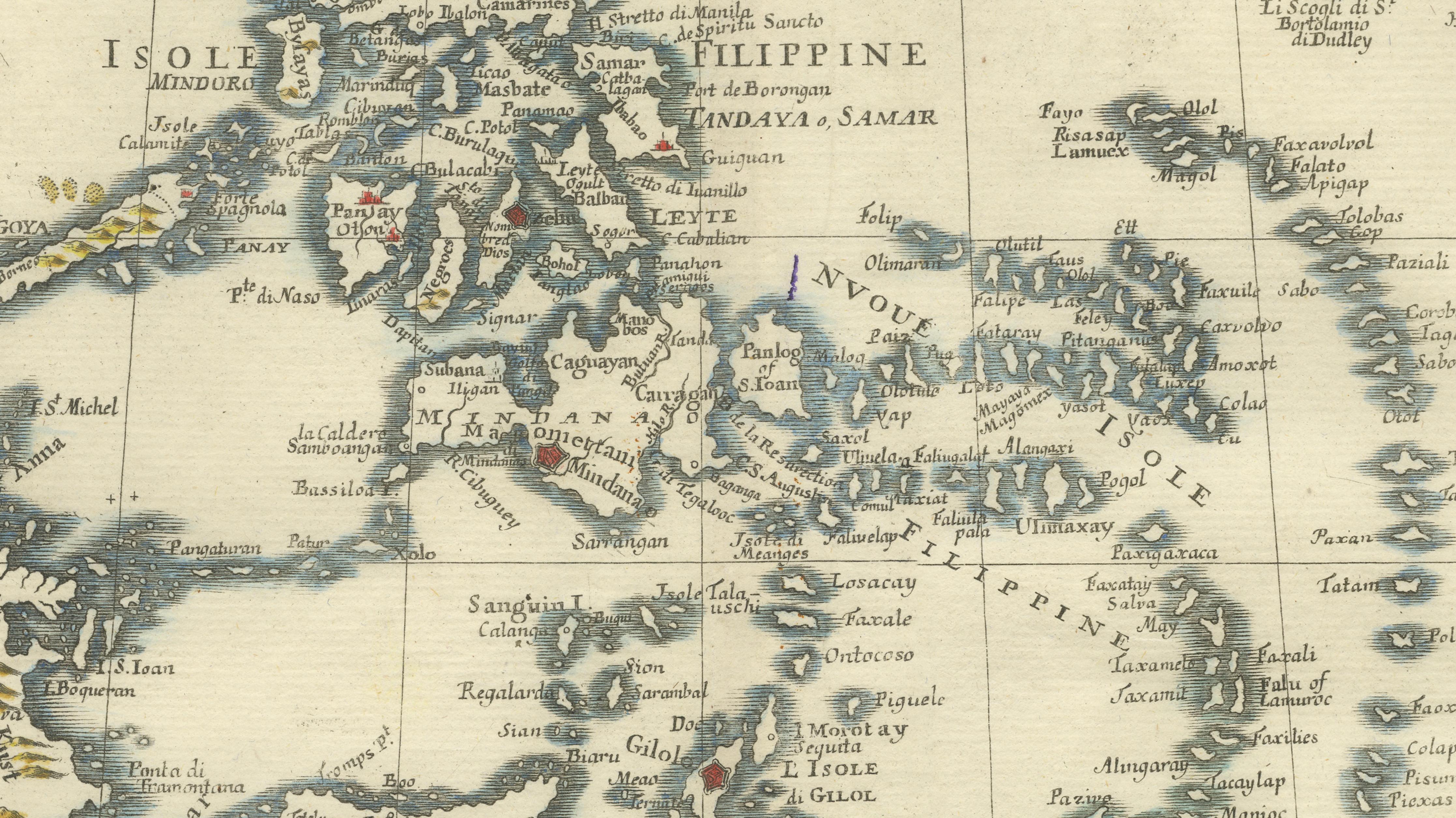
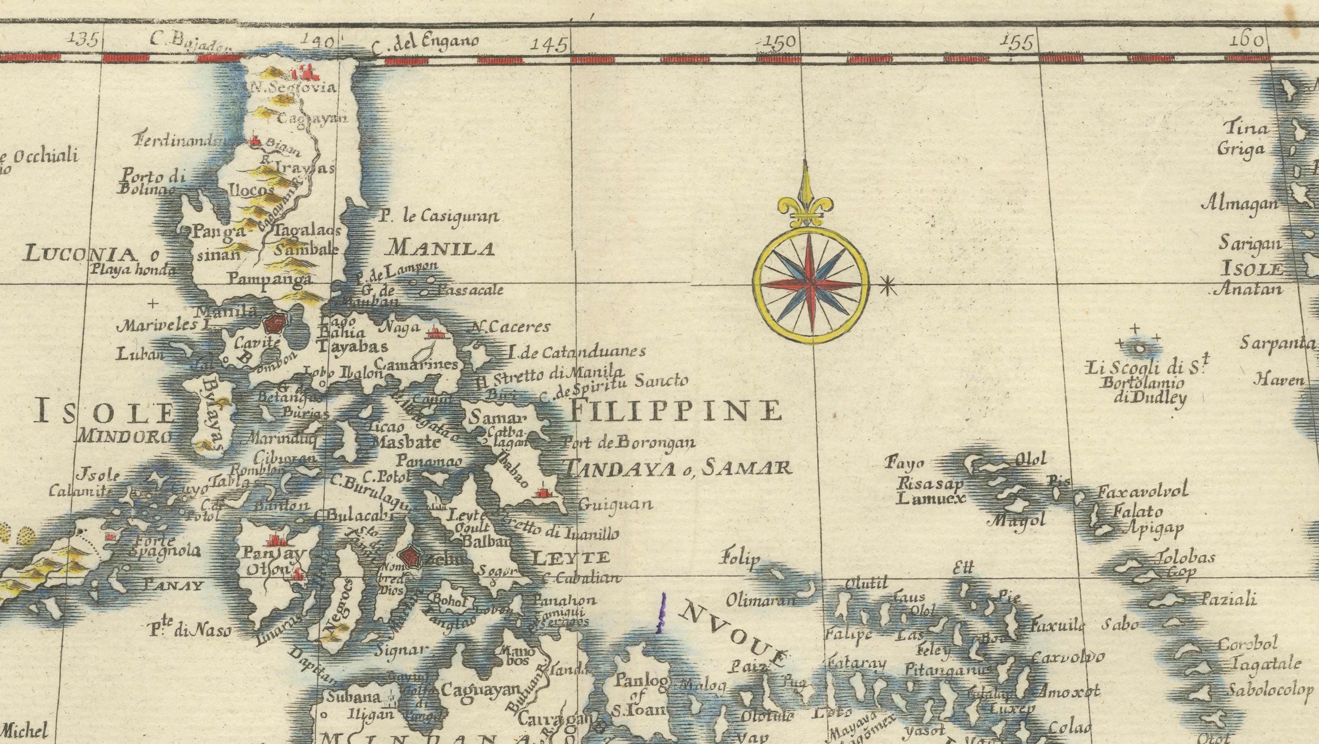
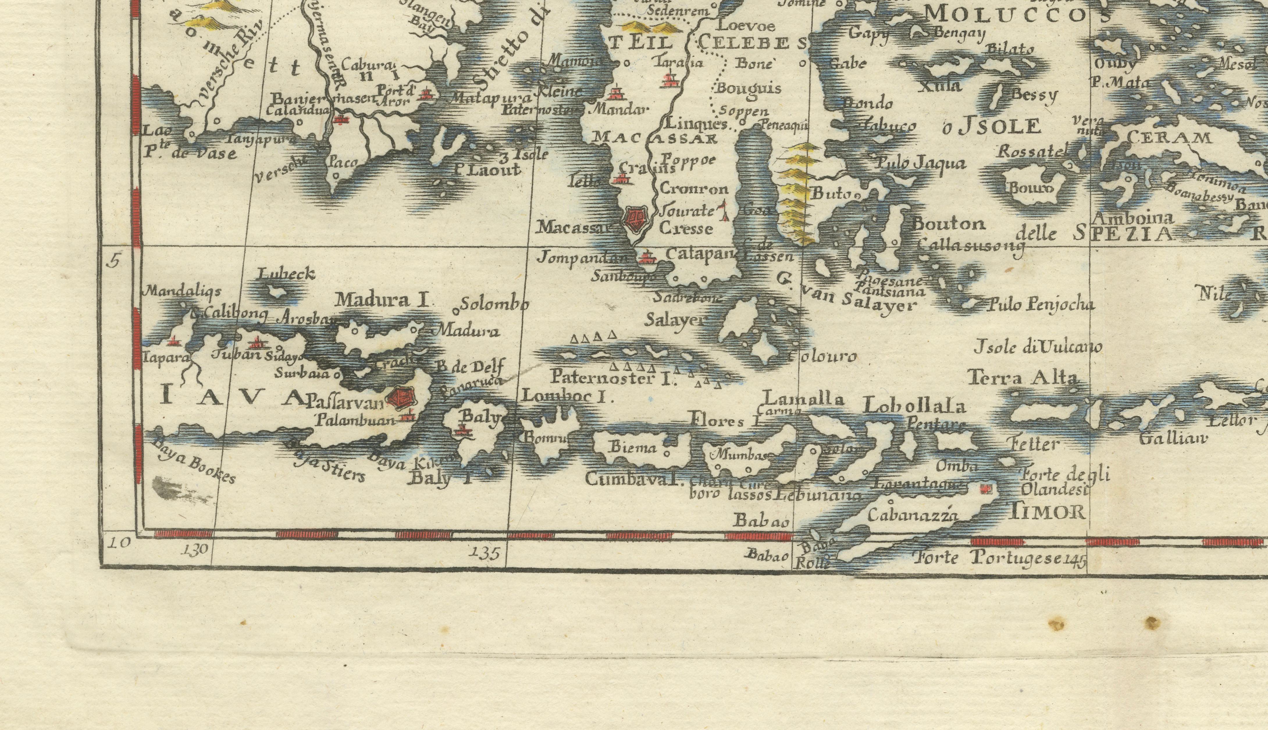
The composition centers on the Philippine archipelago, rendered with remarkable clarity and detail. Major islands such as Luzon, Mindanao, Samar, and Leyte are clearly defined, with Manila prominently marked as the principal Spanish colonial center. Surrounding island groups are equally well represented: the Ladrones (Mariana Islands) appear to the east, while the complex geography of the Indonesian archipelago unfolds to the south and west. Celebes (modern Sulawesi) is depicted with its distinctive multi-peninsula form, while the celebrated Moluccas — historically known as the Spice Islands — are carefully delineated. These islands, including Ternate, Tidore, and nearby trading centers, were the source of highly prized commodities such as cloves and nutmeg that drove centuries of European exploration and colonial rivalry.
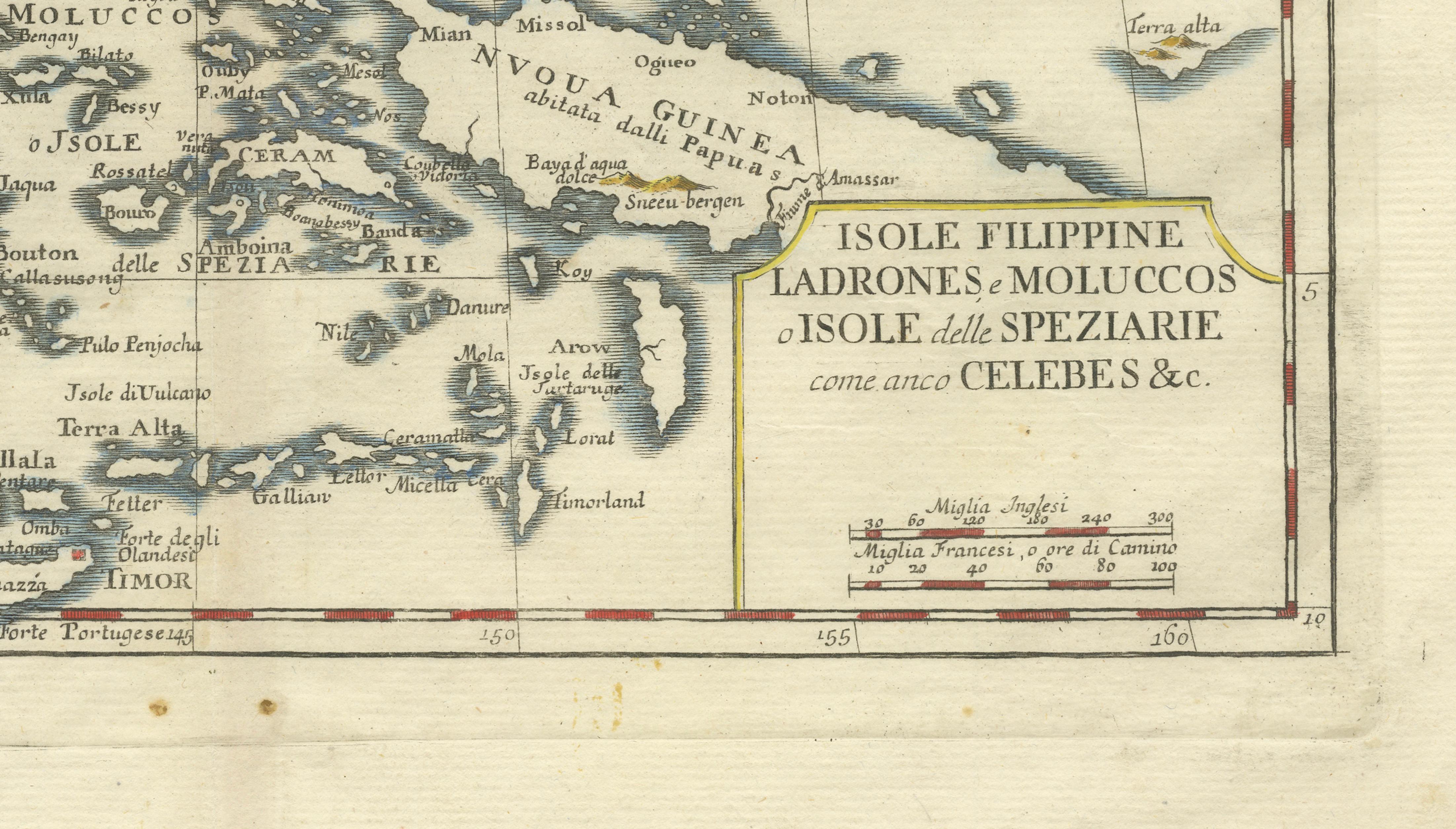
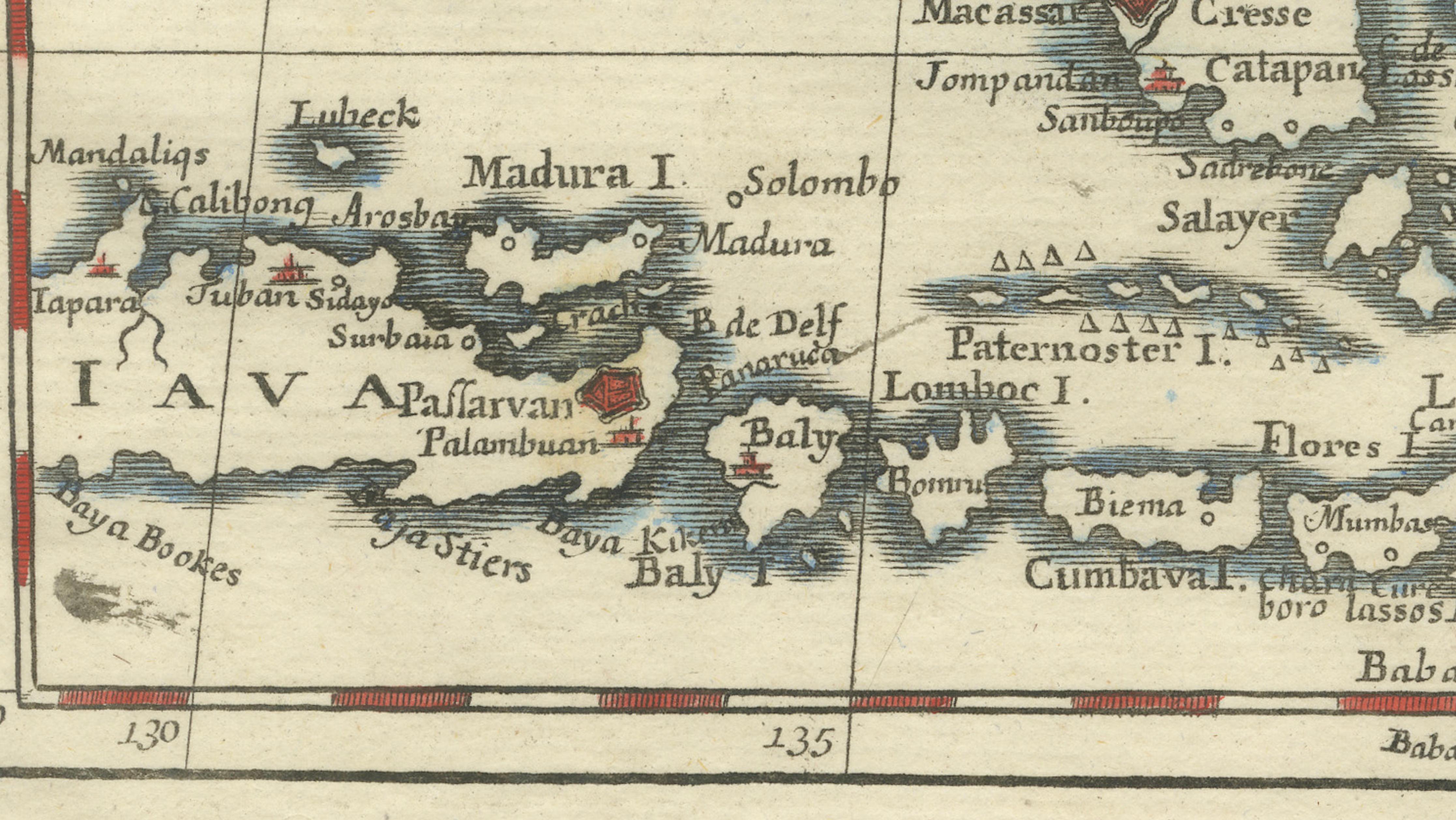
The map also includes portions of Borneo, Java, Timor, and New Guinea, providing broader geographical context for the trade routes that connected these islands to global markets. A finely engraved compass rose adorns the upper portion of the map, while a neatly framed title cartouche in the lower right reads: “Isole Filippine, Ladrones e Moluccos o Isole delle Speziarie come anco Celebes &c.” The use of Italian indicates that the plate was also used for the Italian publishing market, often associated with the Venetian publisher Giambattista Albrizzi.
Isaak Tirion was one of the leading Dutch map publishers of the mid-18th century. Working in Amsterdam, he produced a number of atlases including the Nieuwe en Beknopte Hand-Atlas. Many of Tirion’s maps drew upon the highly respected geographical work of the French cartographer Guillaume de l’Isle, whose more scientific approach to cartography helped improve the accuracy of European maps during the Enlightenment.
The map is engraved in a clean and refined Dutch style typical of Tirion’s publications, with coastal outlines delicately shaded and islands highlighted in contemporary hand color. The overall composition balances geographical precision with decorative elegance, making the piece both historically important and visually attractive.
Today, maps of the Philippines and the Spice Islands from the early 18th century are sought after by collectors of Southeast Asian cartography, maritime history, and colonial trade routes. They also appeal strongly to interior designers due to their intricate island geography and refined engraving style.
Condition report:
Good condition for its age. Original center fold as issued. Light age toning and minor staining in the margins, with some small discoloration near the upper center fold. Plate impression visible.
Framing tips:
This map frames particularly well in a dark walnut or ebonized frame with a wide ivory or light cream mat. The blue coastal shading and island detail stand out beautifully against warm neutral wall colors, making it an excellent decorative centerpiece for studies, libraries, or coastal-themed interiors.
Technique: Copper engraving with original hand color
Maker: Isaak Tirion, Amsterdam, circa 1738