About this sheet
Decorative Antique Map of Asia and the East Indies, circa 1720

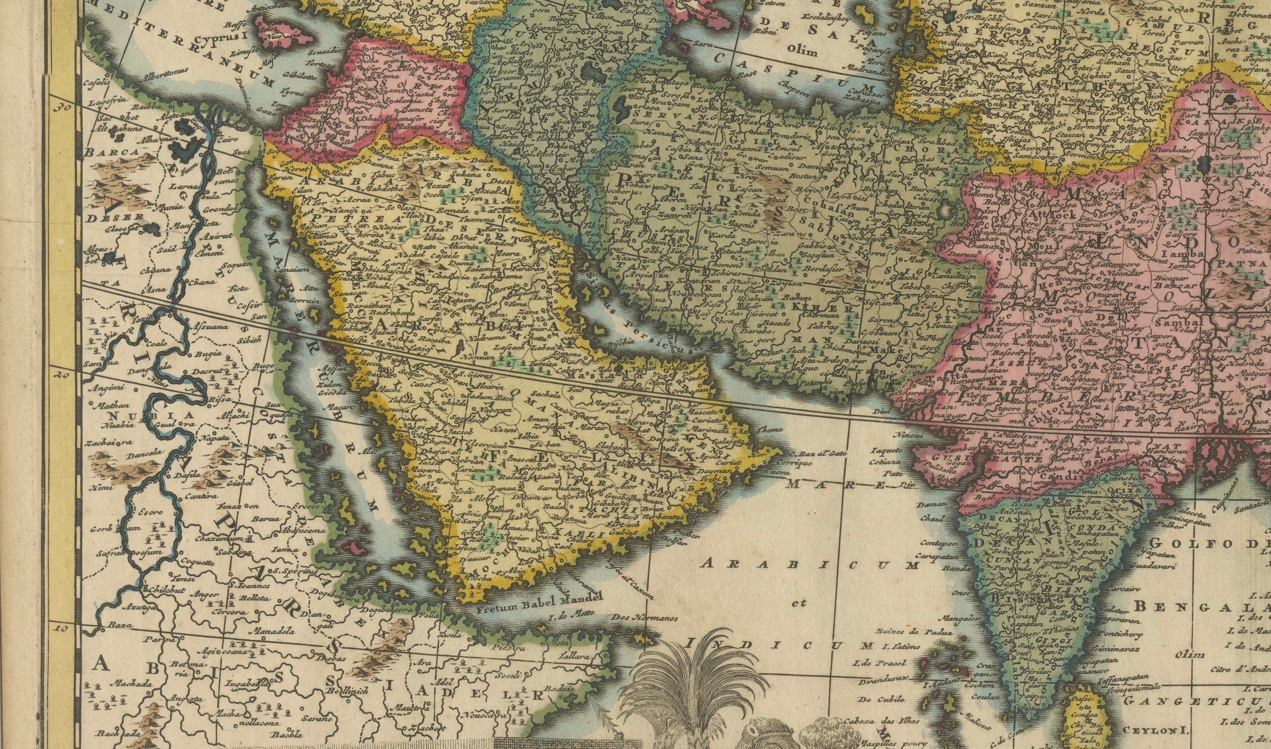
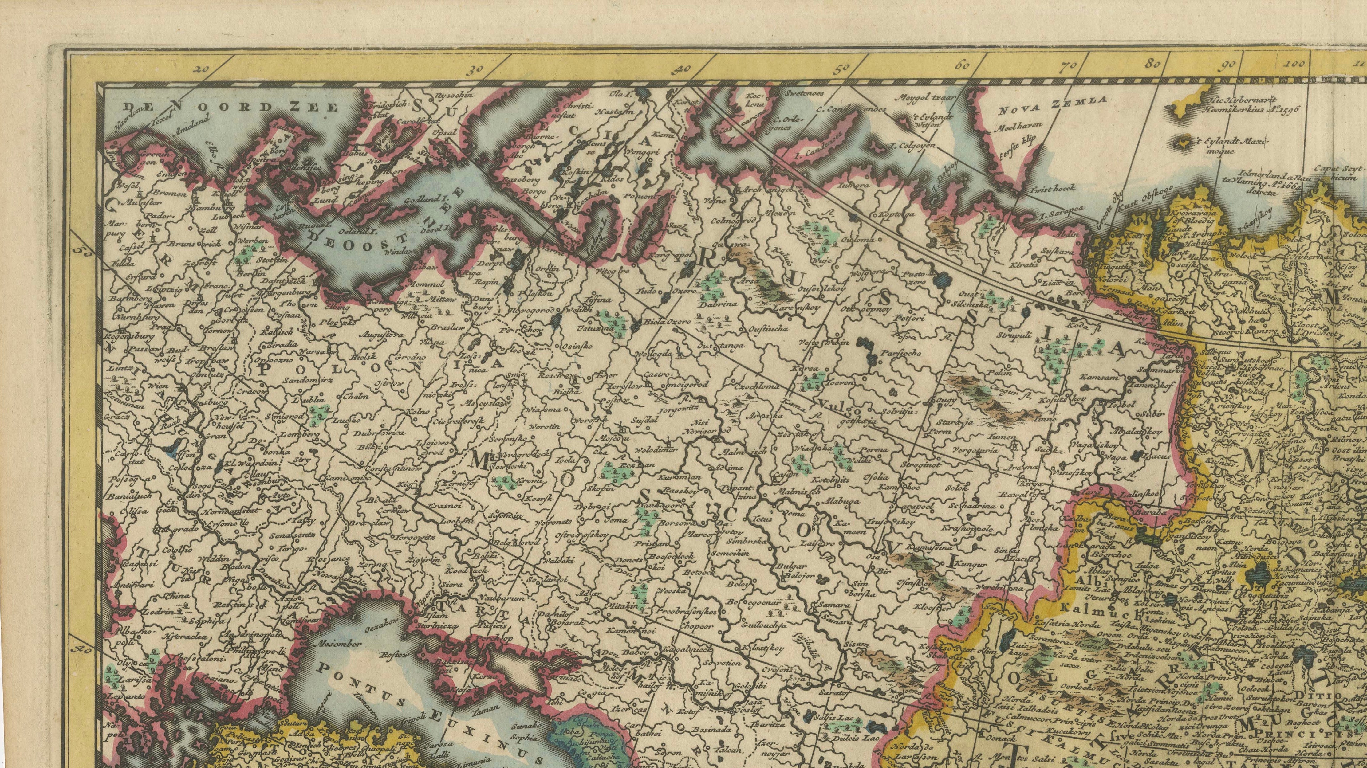
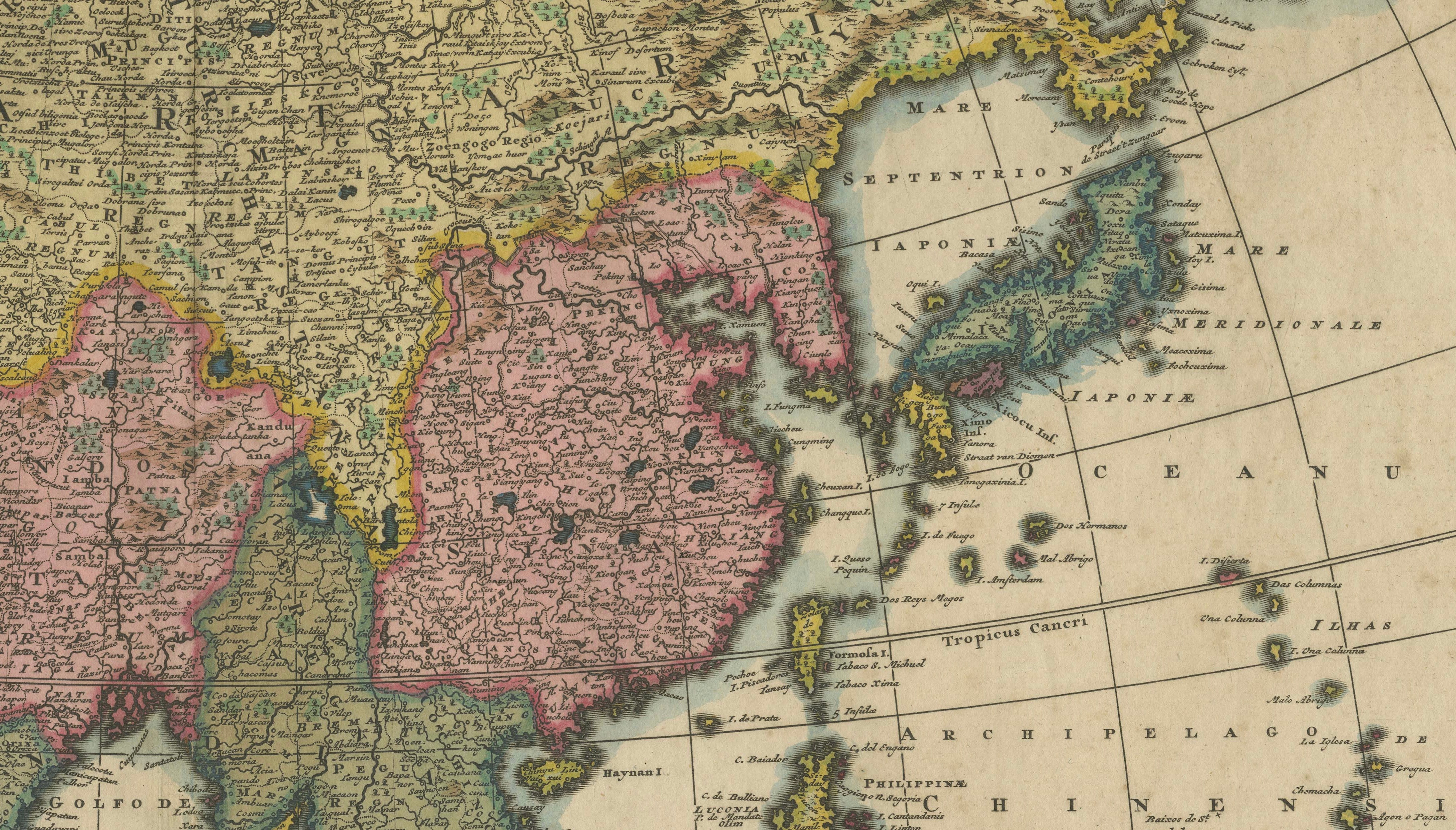
Highly decorative early 18th-century map of Asia by the celebrated Dutch cartographers and publishers Gerard and Leonard Valk, published in Amsterdam circa 1720.
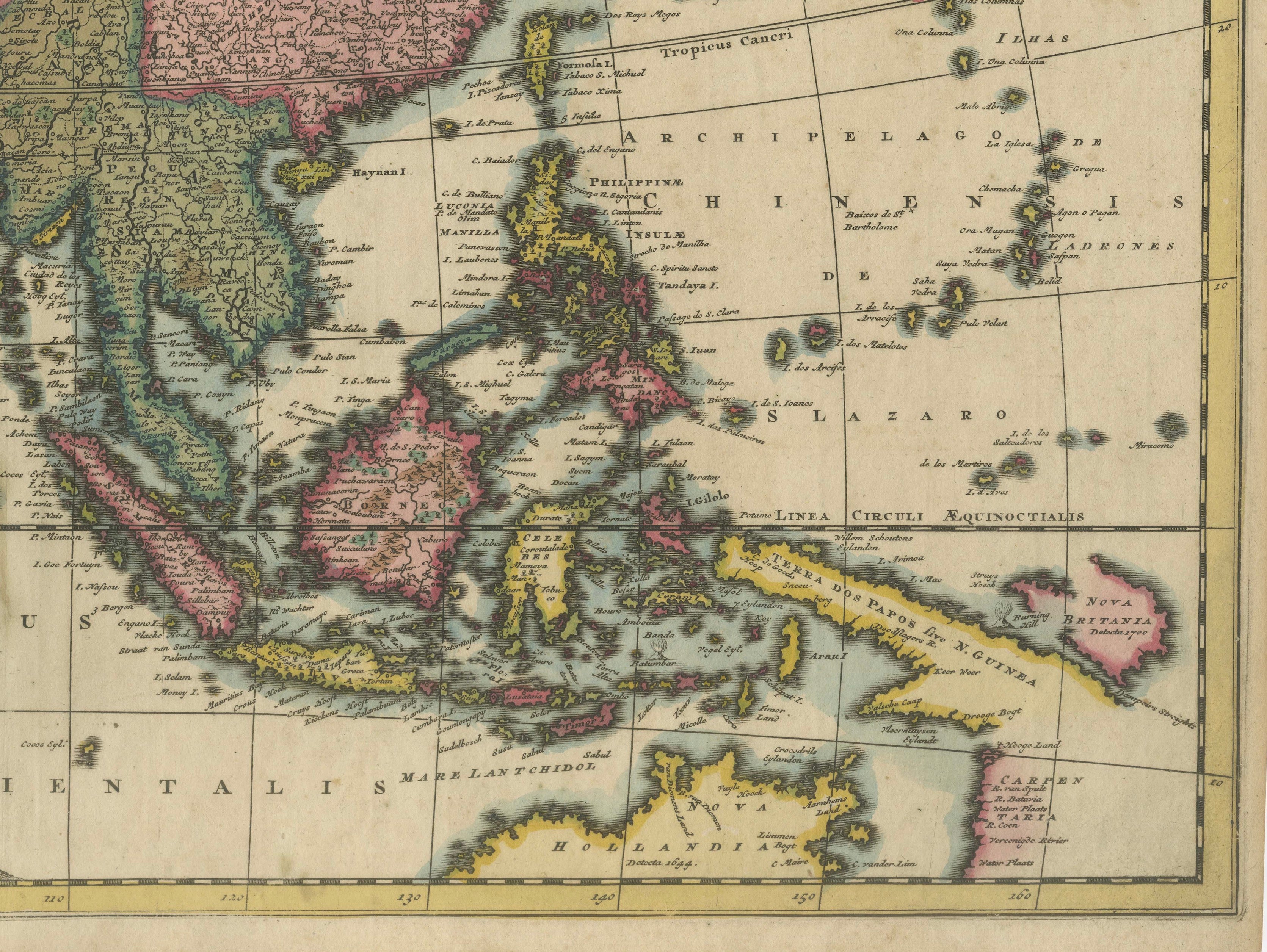
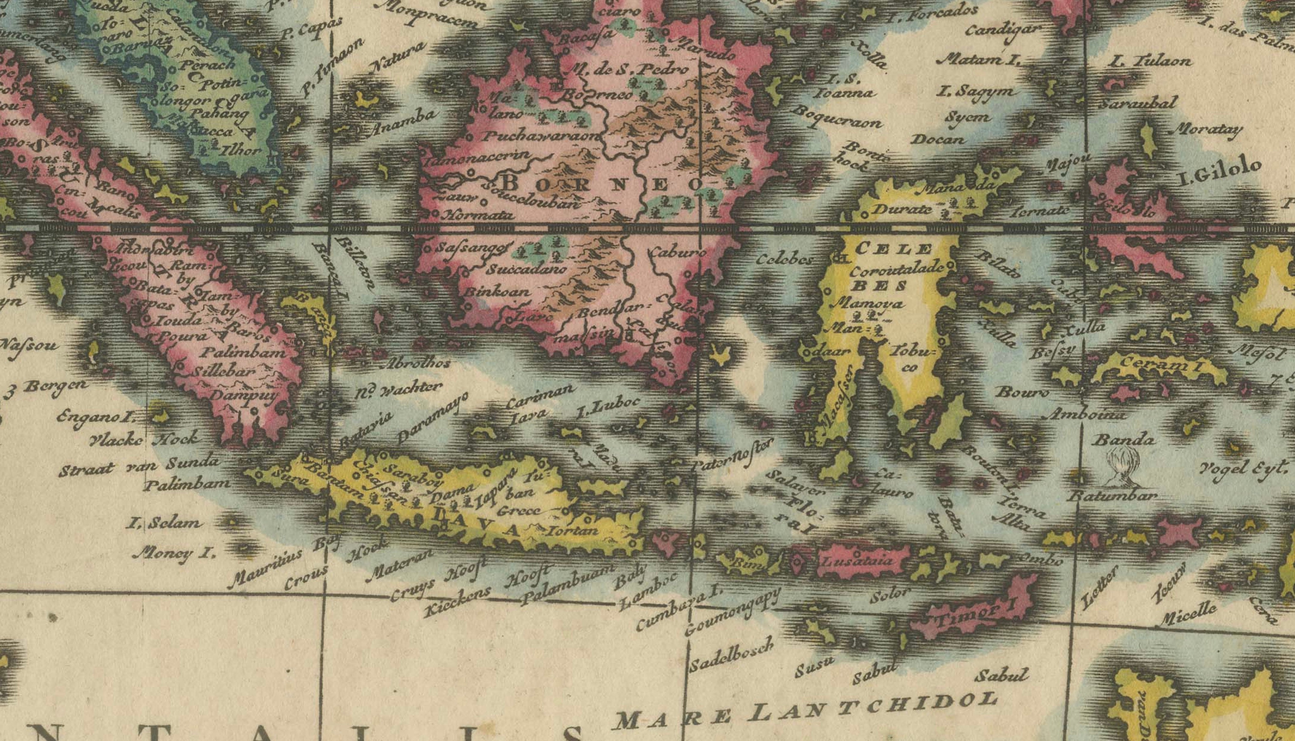
Titled “Asia qua nulla beatior Ora”, the map presents the Asian continent from the Mediterranean and Arabian Peninsula eastward across Persia, India, China and Japan to the Pacific Ocean. Southeast Asia and the Indonesian archipelago are depicted in considerable detail, including Sumatra, Java, Borneo, Celebes, the Moluccas and the Philippines.
Of particular interest is the early representation of parts of Australia. The map shows portions of the coastline of “Nova Hollandia” and “Carpentaria”, reflecting the still incomplete European knowledge of Australia during the early 18th century. At the northeastern edge of the map, an early and speculative representation of the region associated with Alaska and northeastern Asia is also shown.
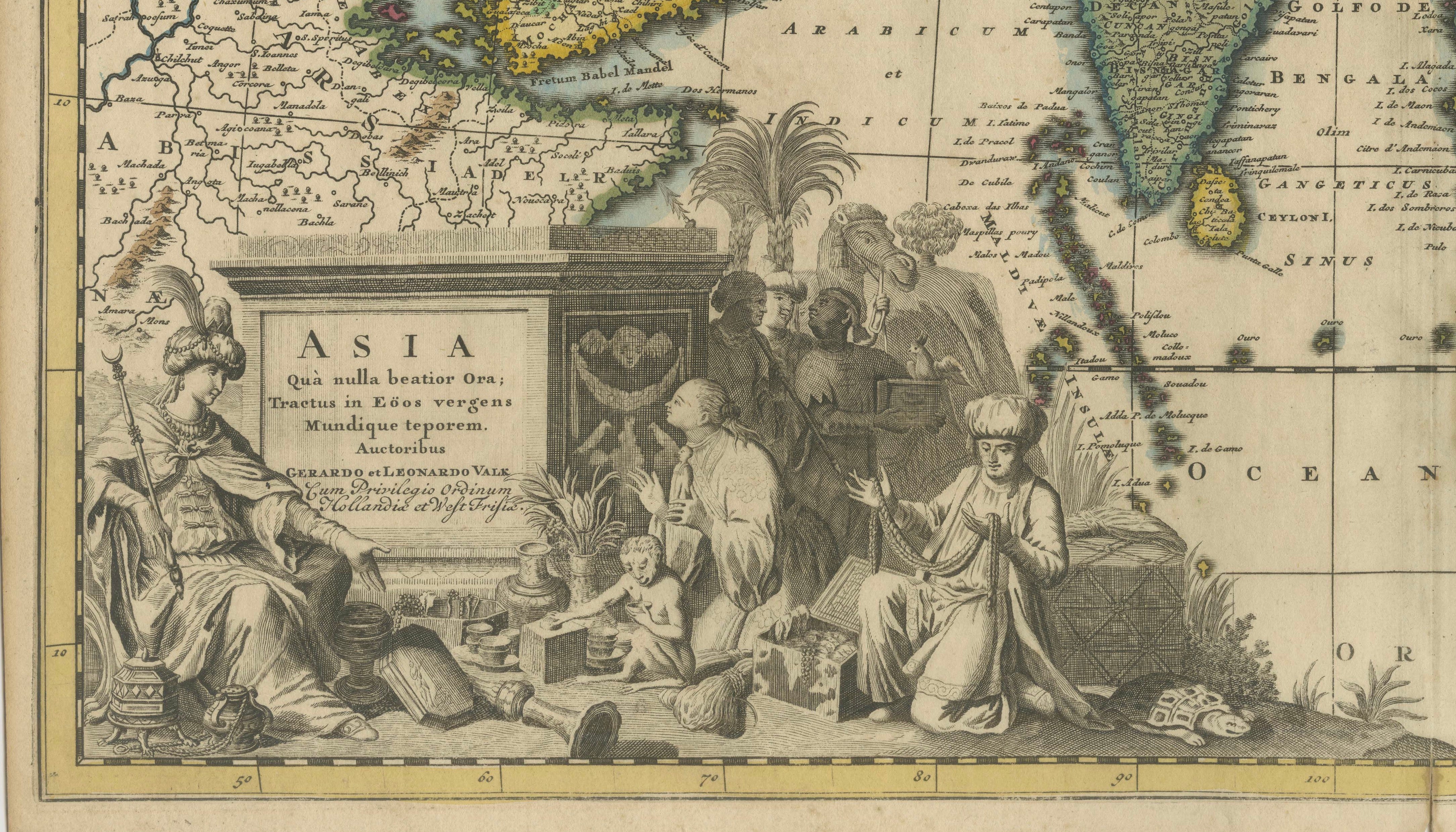
The map retains attractive original hand coloring, with countries and regions outlined and washed in different colors. At lower left is a magnificent uncolored engraved figural title cartouche. It depicts Asian figures, merchants and exotic goods surrounding the title panel, emphasizing contemporary European ideas of Asia's wealth, trade and cultural diversity.
An especially attractive example of Dutch Golden Age cartography and a desirable map for collectors of Asia, China, Japan, Southeast Asia, Indonesia and early European cartography of Australia.
Creators: Gerard Valk (1652–1726) and Leonard Valk (1675–1746)
Title: Asia qua nulla beatior Ora
Date: circa 1720
Place of publication: Amsterdam, Netherlands
Technique: Copper engraving with original hand coloring; figural cartouche uncolored
Condition: Good antique condition. Original center fold as issued, with a small tear at the lower end of the center fold. Margins lightly browned. General age-related toning and minor signs of handling consistent with age.
An original antique map published in Amsterdam in the early 18th century. Not a modern reproduction.
Sold unframed.