About this sheet
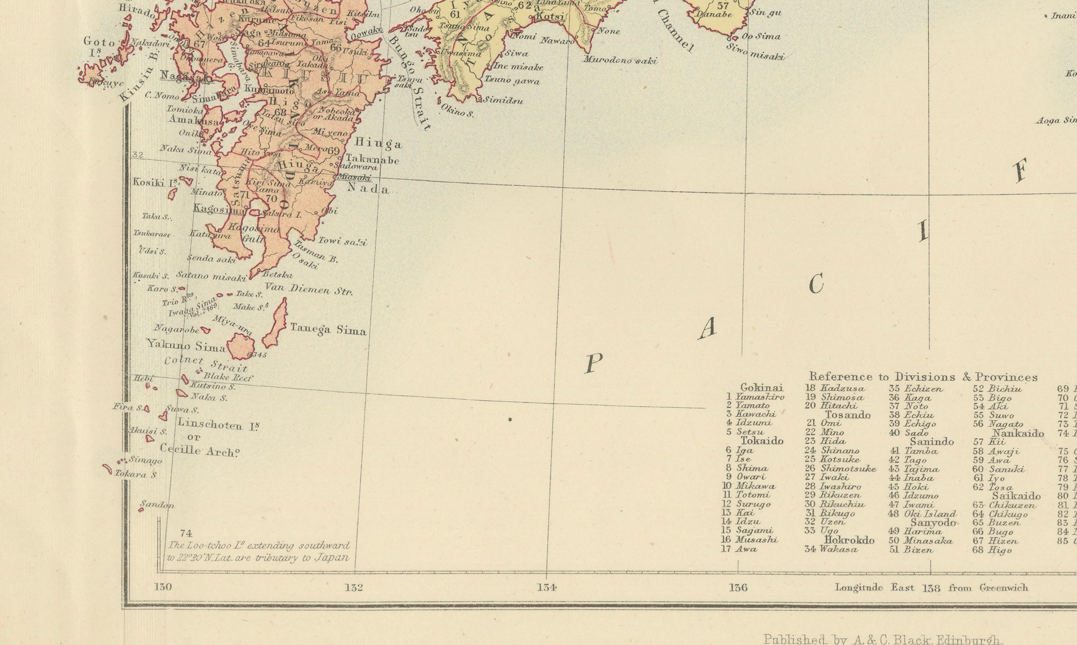
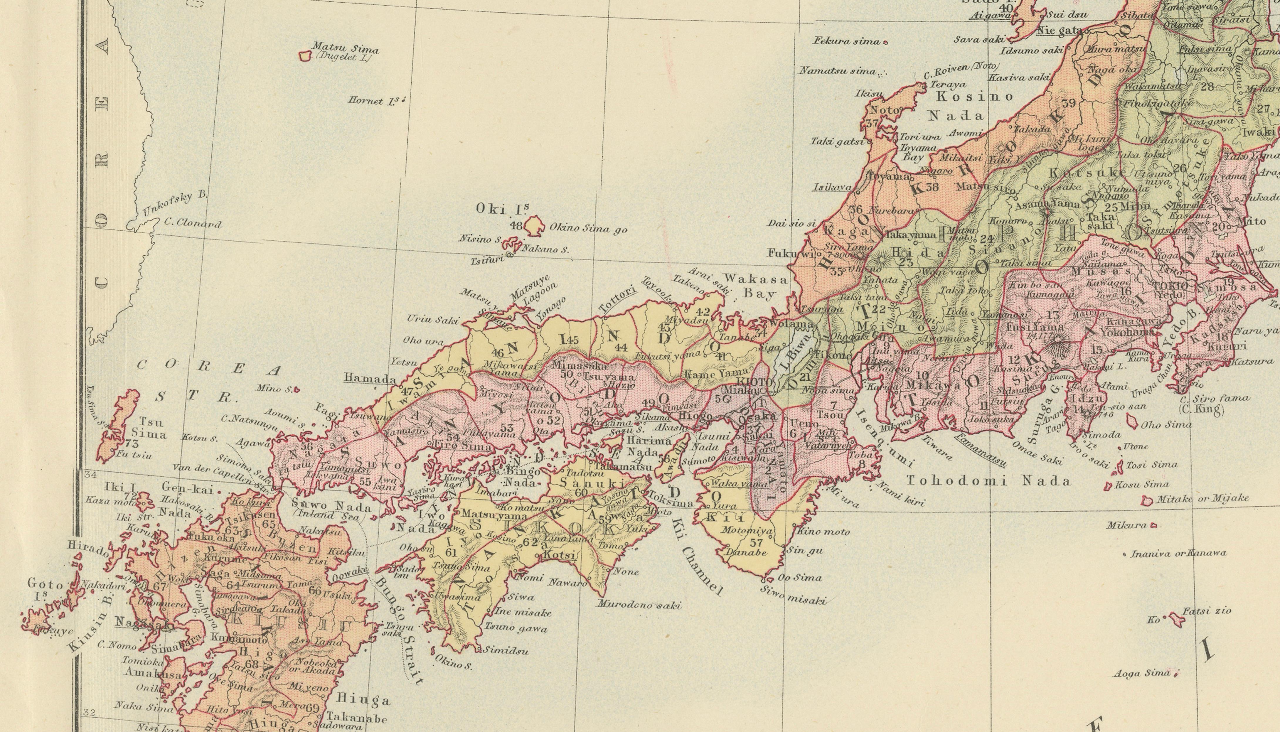
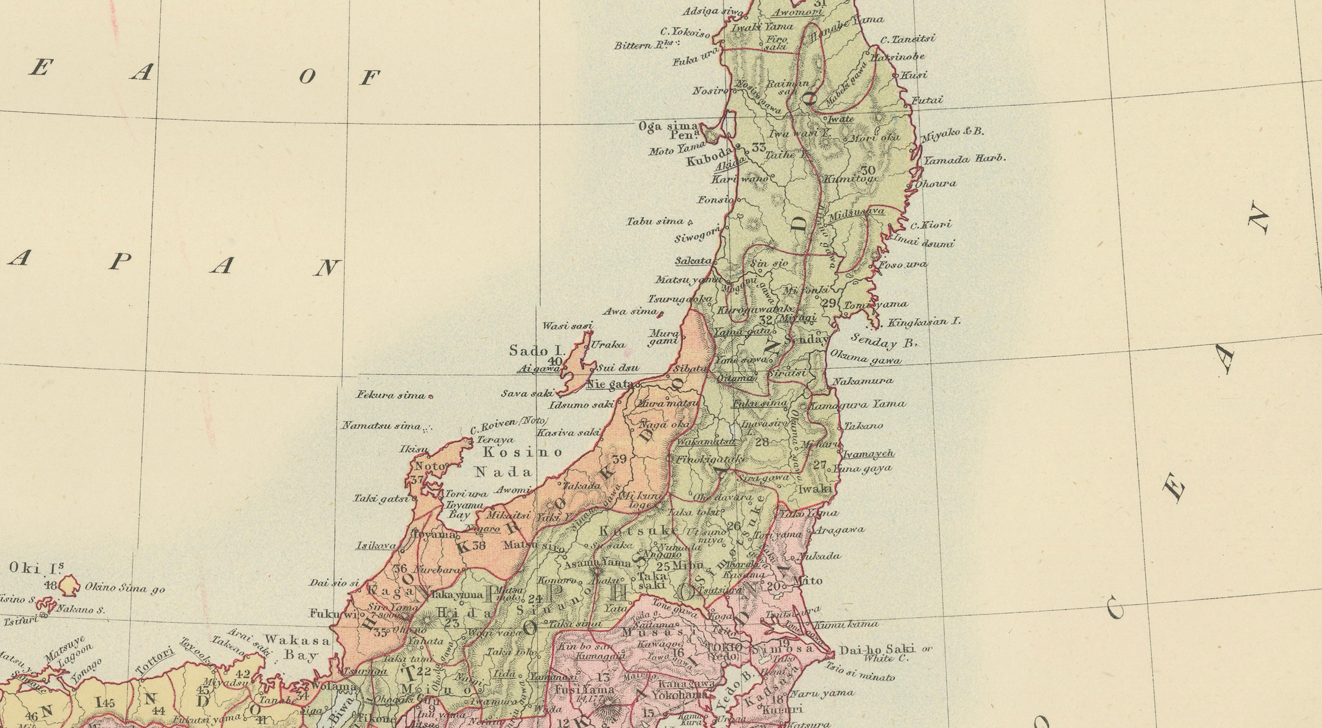
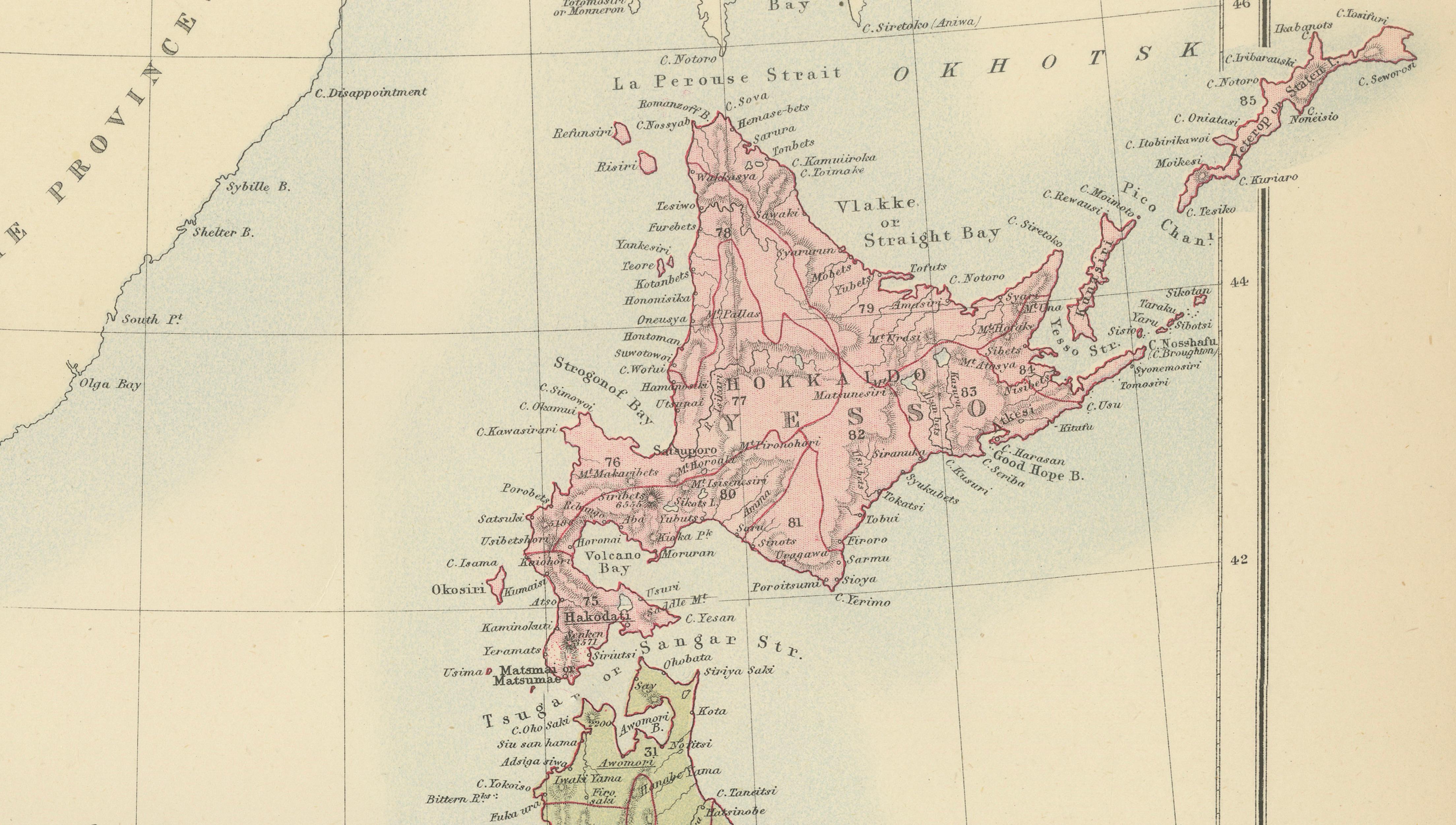
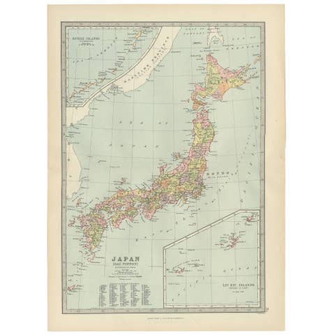
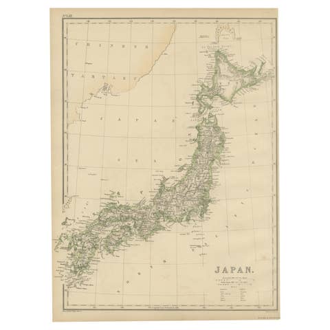
Antique Map of Japan with Tokyo Inset, Black’s General Atlas, 1885
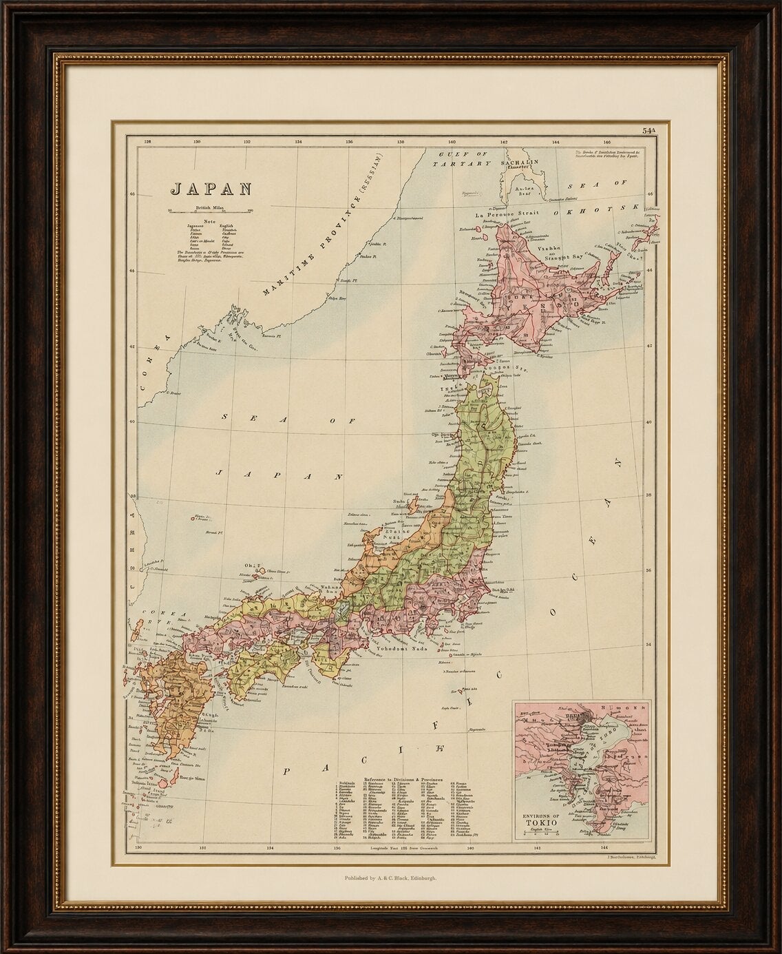
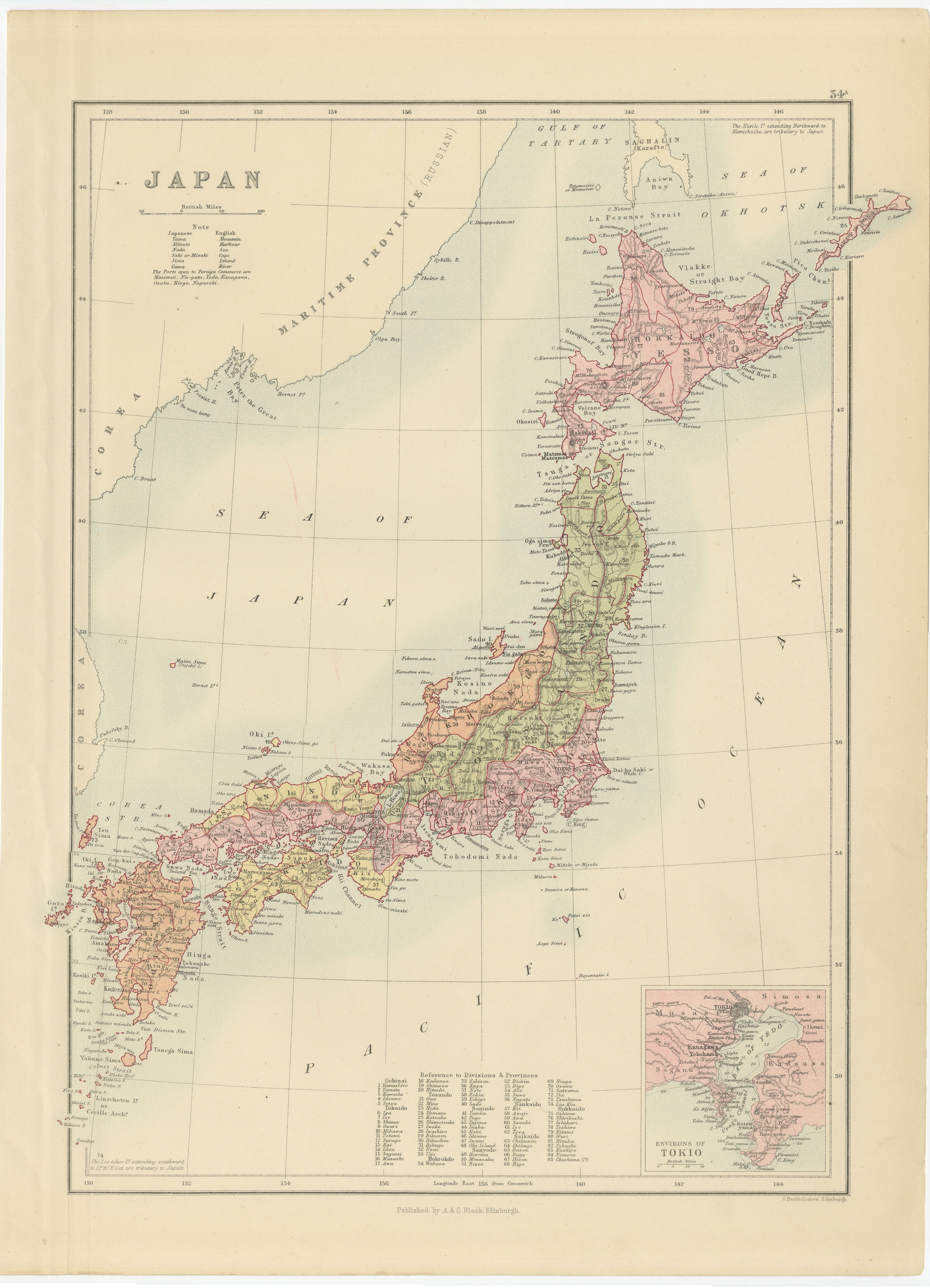
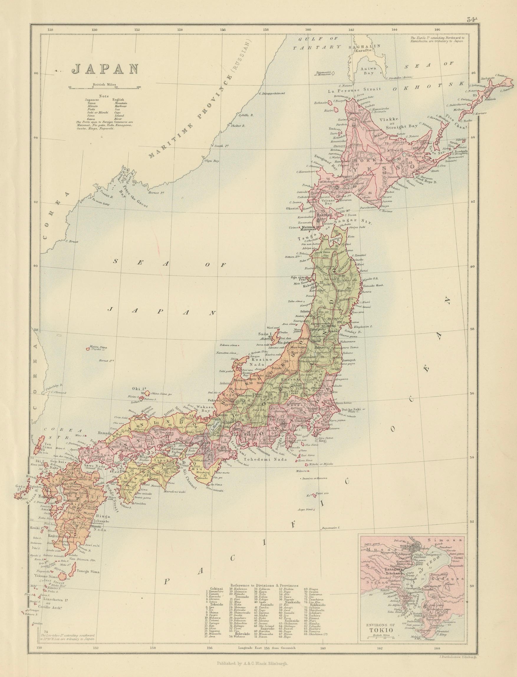
A finely engraved and delicately hand-colored antique map of Japan, published by the respected Scottish cartographic firm A. & C. Black around 1885. This elegant late 19th-century map presents the Japanese archipelago in remarkable detail during the transformative Meiji era, a period when Japan was rapidly modernizing and opening to increased international trade and diplomacy.
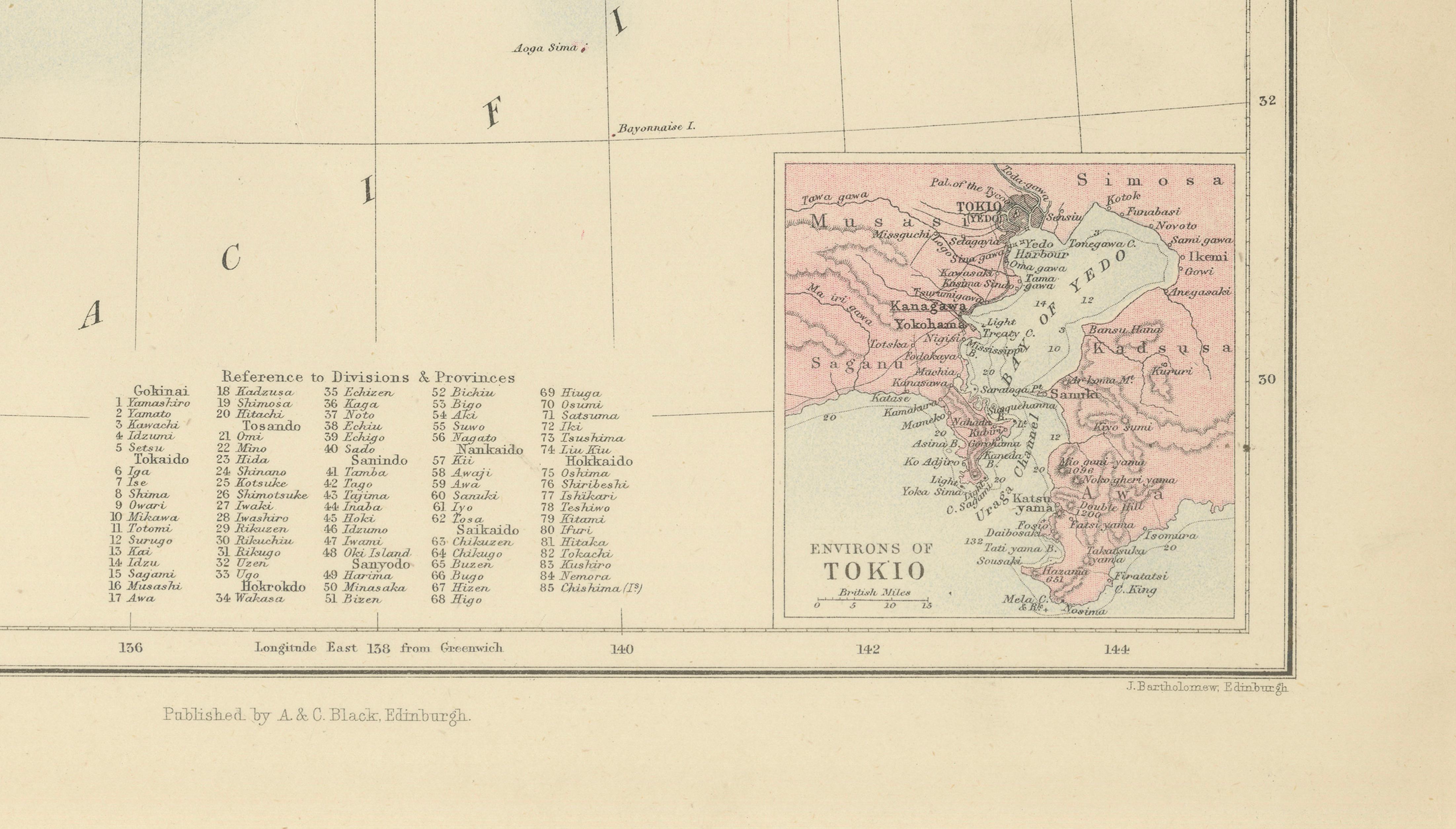
The map depicts the four principal islands of Japan with provincial boundaries outlined in soft original wash color, while numerous cities, ports, mountain ranges, and coastal features are carefully engraved throughout. The surrounding seas are elegantly labeled, including the Sea of Japan and the Pacific Ocean, and the map extends northward toward Sakhalin and the Kurile region. An inset plan titled “Environs of Tokio” appears in the lower right corner, providing a detailed early view of the capital region shortly after Tokyo became the imperial center of Japan.
Produced by A. & C. Black of Edinburgh, this map reflects the refined British cartographic style of the late Victorian period, combining scientific clarity with decorative restraint. The pale original hand coloring, clean typography, and balanced composition give the sheet an understated sophistication highly suitable for modern interiors as well as traditional collections.
Maps of Japan from this period are increasingly sought after for their historical significance and decorative appeal, especially those illustrating the country during the Meiji modernization era. The map works beautifully in both contemporary and classic interiors and is especially attractive for collectors of Asian cartography, travel history, or Japanese decorative material.
The piece displays exceptionally well in dark walnut, black lacquer, or lightly gilt frames paired with a wide ivory or oatmeal mat. Its elegant pale palette and refined engraving style make it particularly suitable for libraries, studies, Japanese-inspired interiors, offices, or sophisticated gallery walls.
Condition: Good antique condition with age-related toning and light wear. Original center fold as issued. Minor occasional spotting and faint handling marks consistent with age. Colors remain attractive and fresh.
The map is an original 19th-century engraving, not a reproduction. Any framed images are shown for presentation and interior inspiration only.
Technique: Steel engraving with original hand color
Maker: A. & C. Black, Edinburgh, circa 1885