About this sheet
Carte des Isles Philippines – Antique Map of the Philippines, 1752
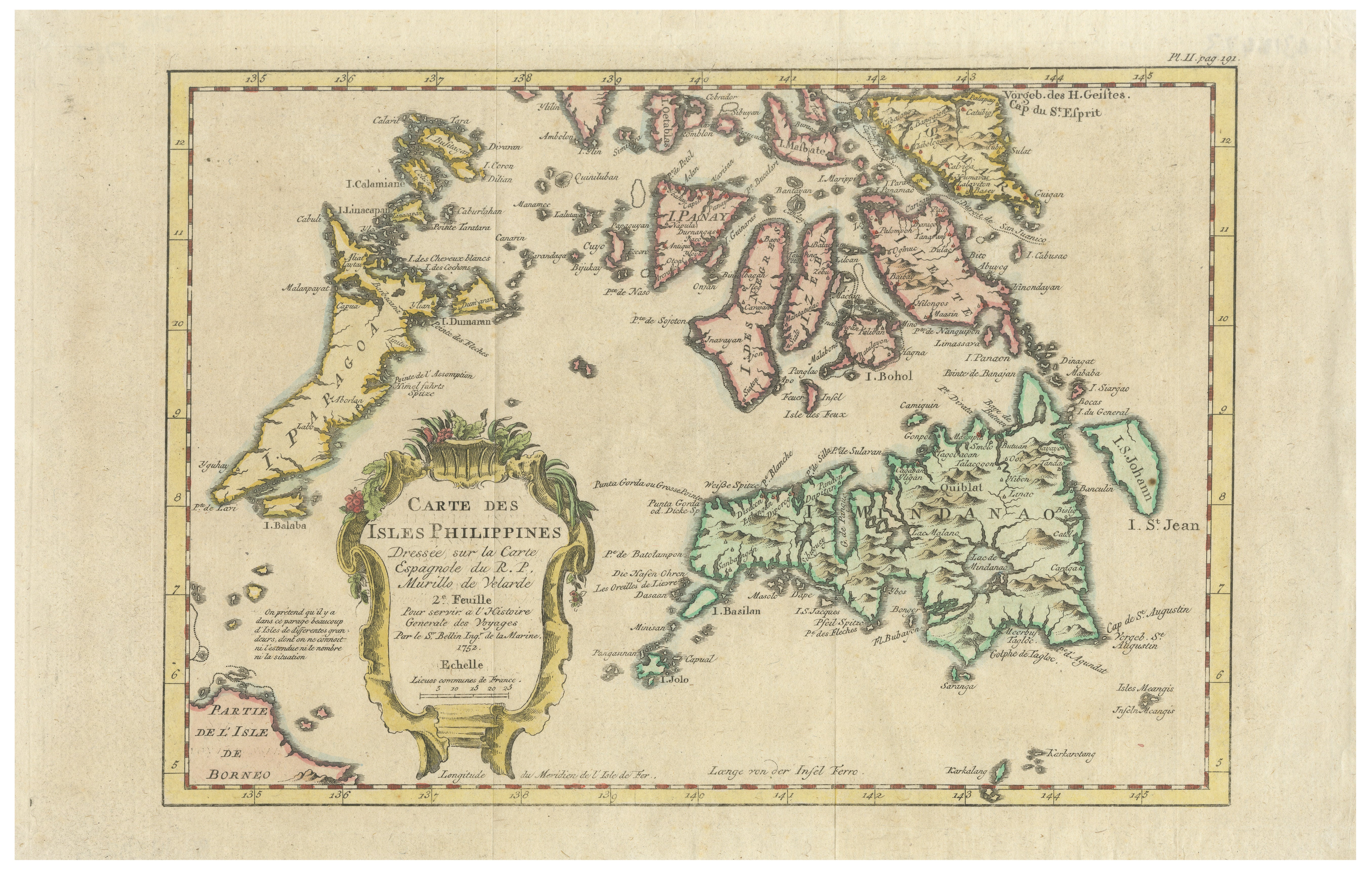
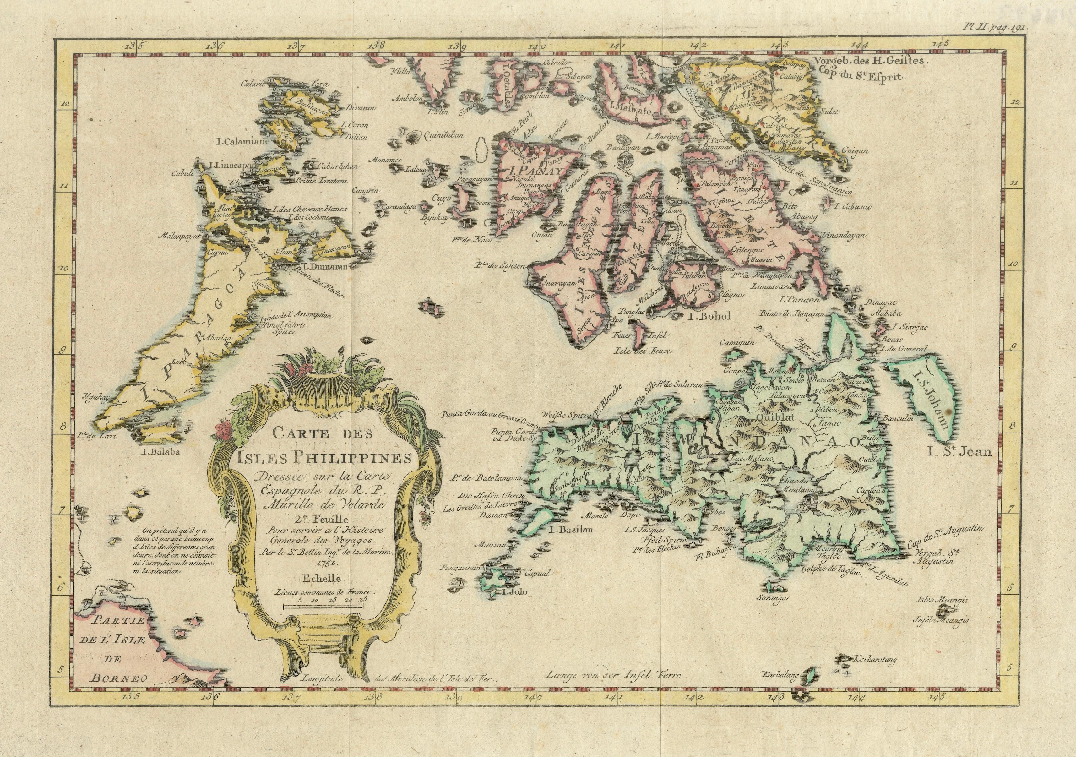
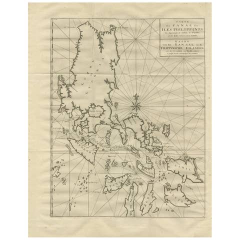
This beautifully hand-colored mid-18th-century map titled Carte des Isles Philippines presents an elegant French depiction of the Philippine archipelago during the great age of European maritime exploration. Published in 1752, the map was prepared for Bellin’s influential Histoire Générale des Voyages and is based on Spanish cartographic sources attributed to the Jesuit scholar Pedro Murillo Velarde, one of the most important early cartographers of the Philippines.
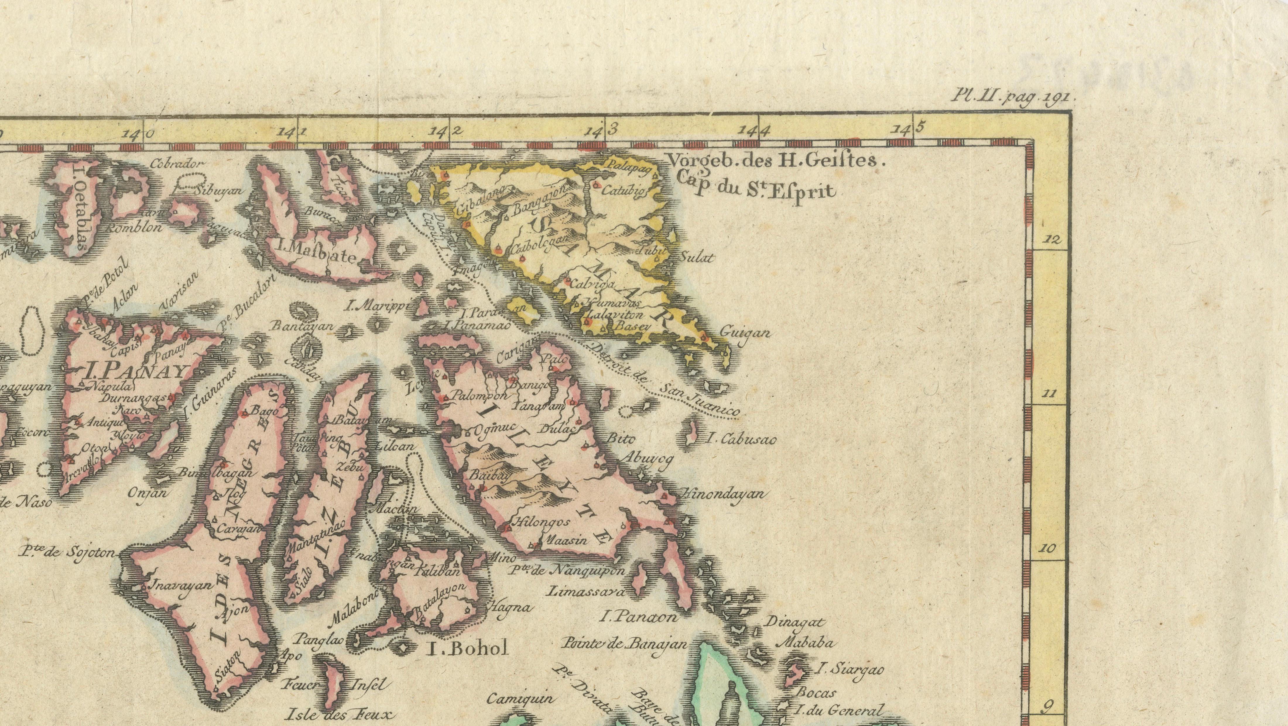
The map illustrates the major islands of Luzon, Samar, Leyte, Panay, Mindanao, Palawan, and surrounding island groups with remarkable clarity and decorative appeal. Fine coastal detailing, navigational notations, and engraved place names reveal the growing European interest in the strategic and commercial importance of the archipelago during the colonial era. The islands are delicately outlined in original hand color, helping distinguish the major regional divisions while enhancing the decorative quality of the composition.
At the center of the map is an ornate rococo cartouche framed with tropical foliage, identifying the work as the second sheet of Bellin’s larger treatment of the Philippine Islands. Jacques-Nicolas Bellin, Hydrographer to the French Navy, was among the leading cartographers of the 18th century, renowned for combining navigational precision with refined French engraving style. His maps were widely used by explorers, merchants, and naval officers throughout Europe.
The map is especially appealing for collectors of Southeast Asian cartography, Philippine history, colonial exploration, and decorative 18th-century maps. Its elegant pastel coloring, balanced composition, and strong geographic detail make it highly suitable for framing in both classic and modern interiors.
Special note: This is an original antique engraved map, not a reproduction. All items we offer are authentic period works of art over 100 years old. The map is sold unframed; any framed images are shown for presentation and interior inspiration only and may not always be to scale with the original.
Condition report: Overall in good antique condition with age-related toning and minor handling wear consistent with mid-18th-century maps. Original center fold as issued. Some light creasing and marginal wear visible, with attractive original hand coloring remaining well preserved. Please study the image carefully.
Framing tips: This map displays beautifully in dark walnut, black lacquer, or lightly gilt frames paired with wide ivory mats. Its soft original coloring and refined French engraving style make it especially suitable for libraries, studies, or interiors inspired by maritime history and colonial cartography.
Technique: Copperplate engraving with original hand color
Maker: Jacques-Nicolas Bellin after Murillo Velarde, Paris, 1752