About this sheet
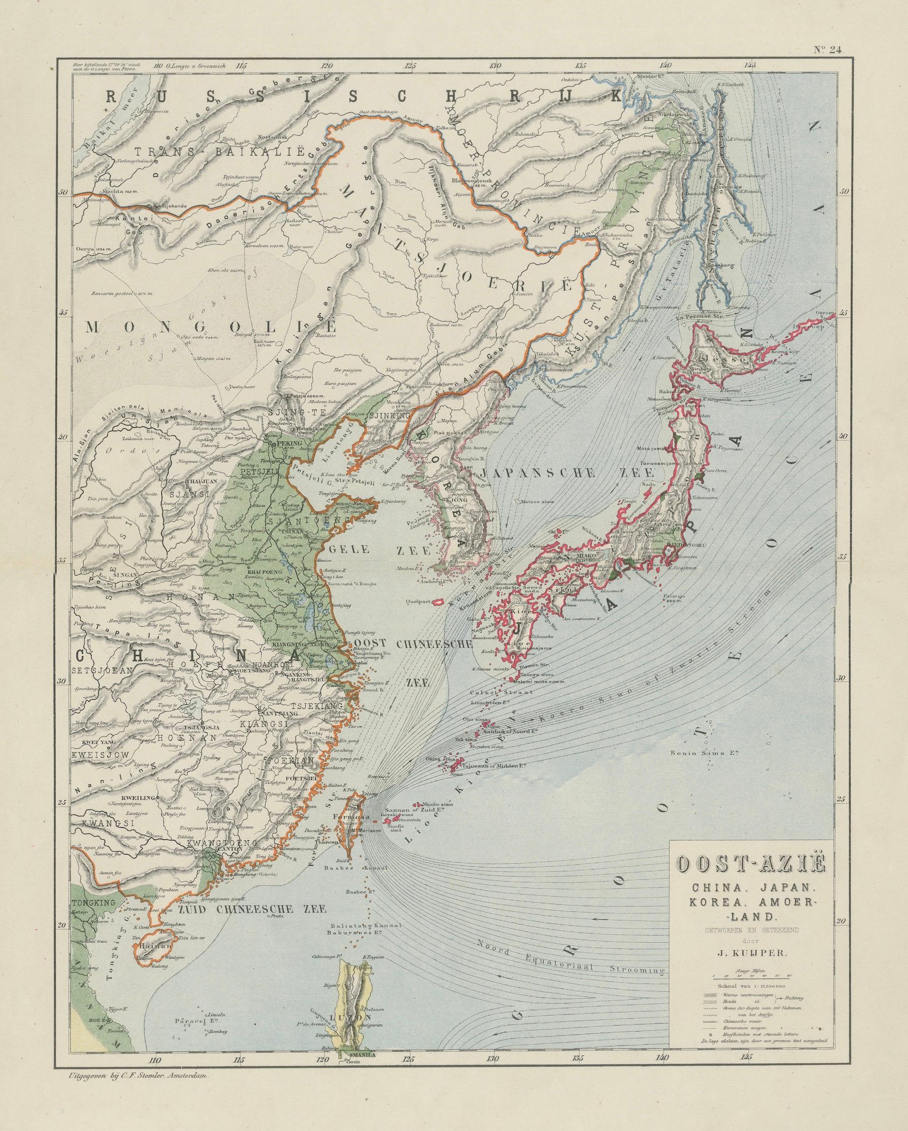
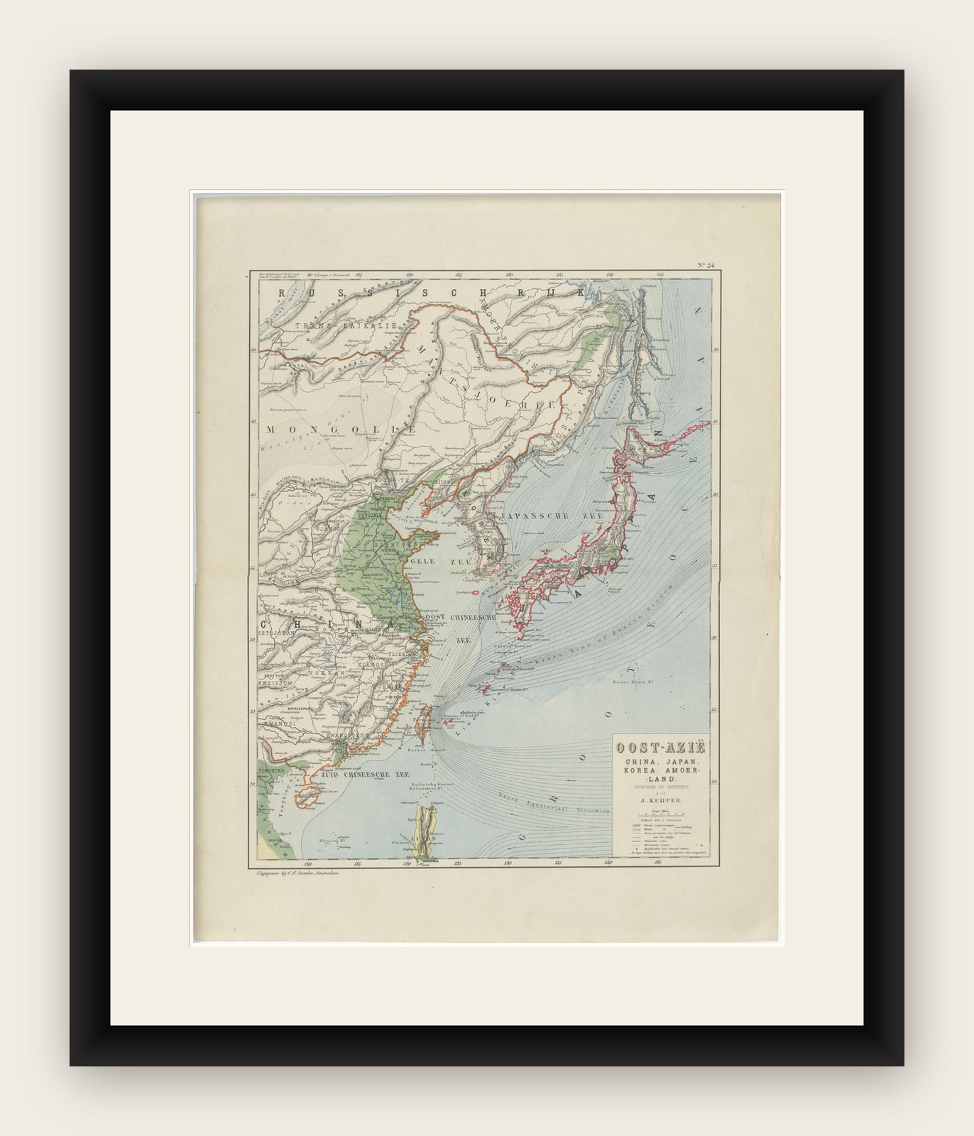
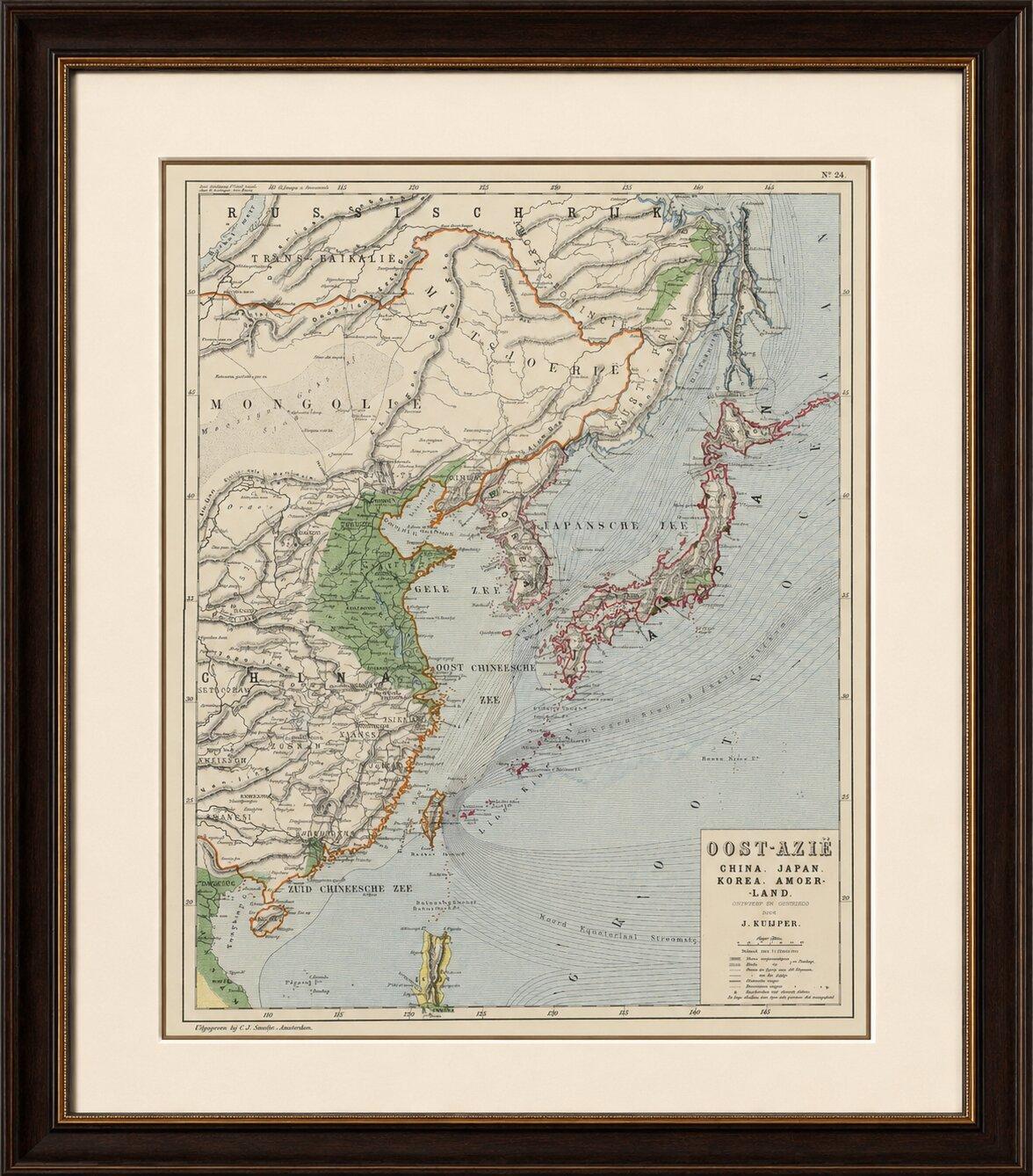
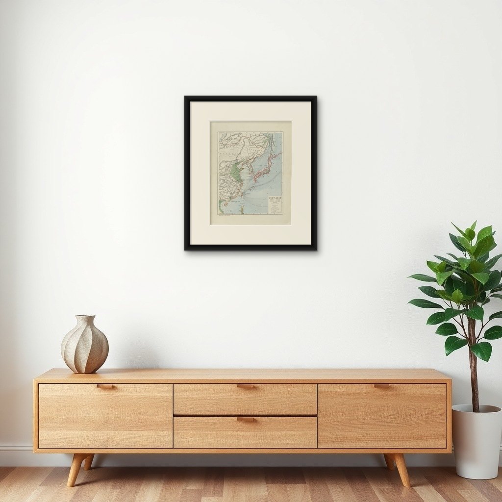
Antique Map of East Asia, Japan & Korea by J. Kuijper, circa 1860
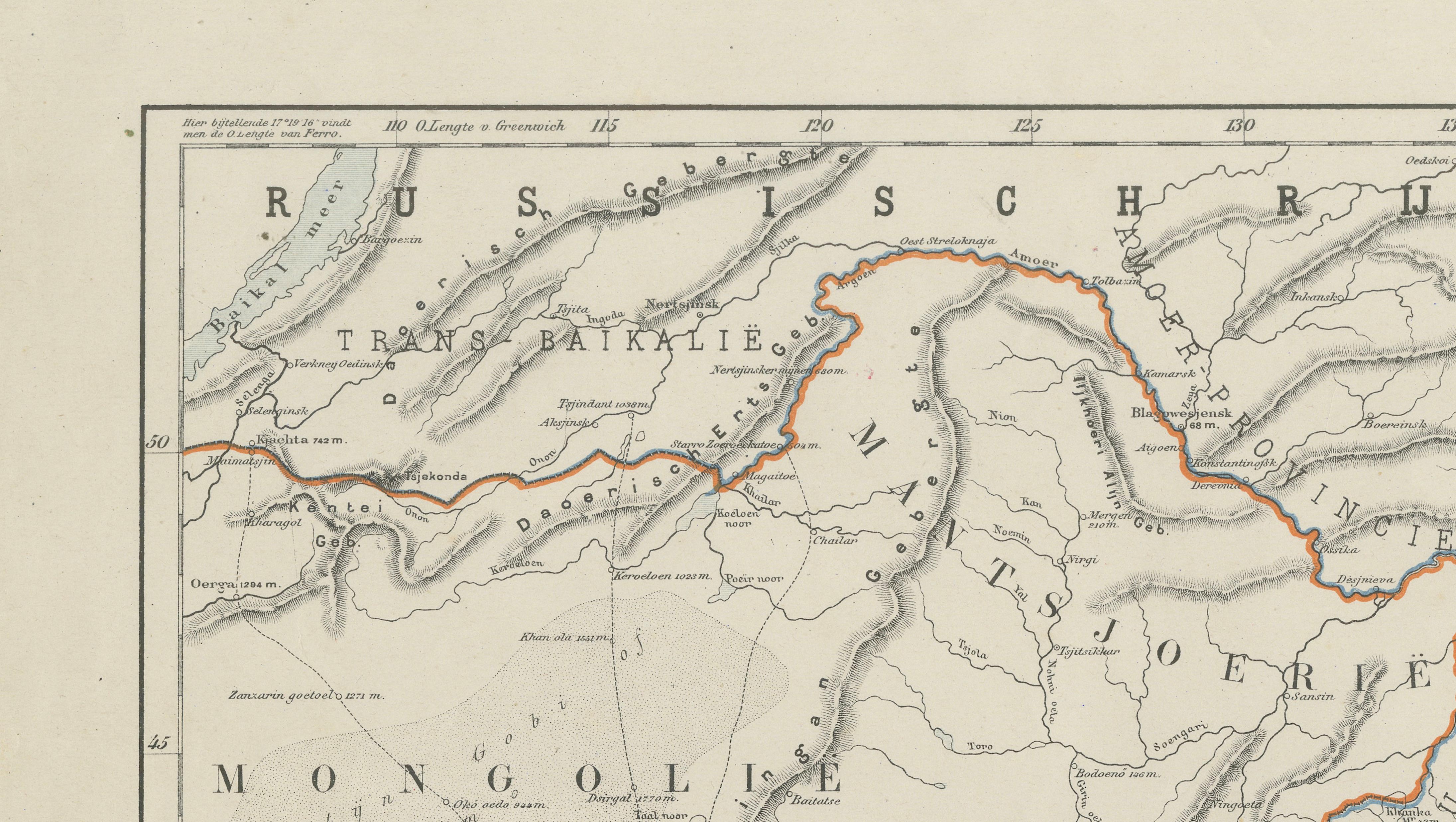
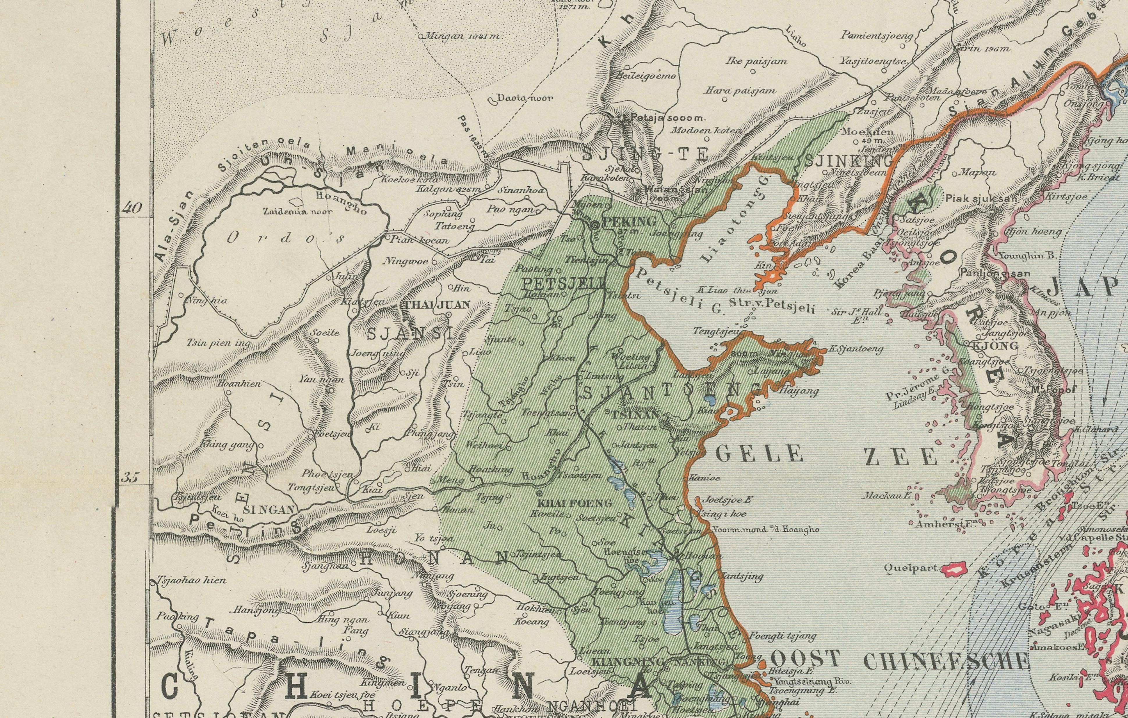
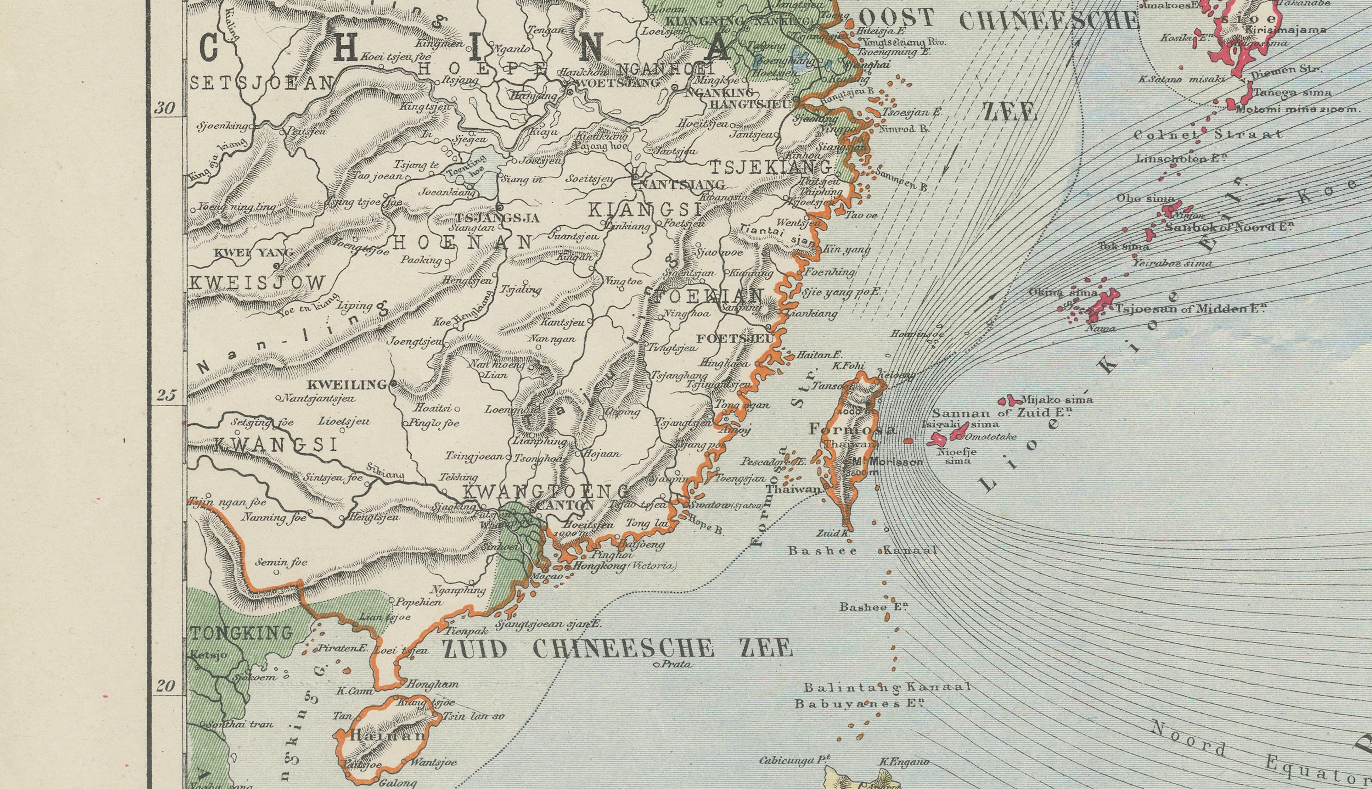
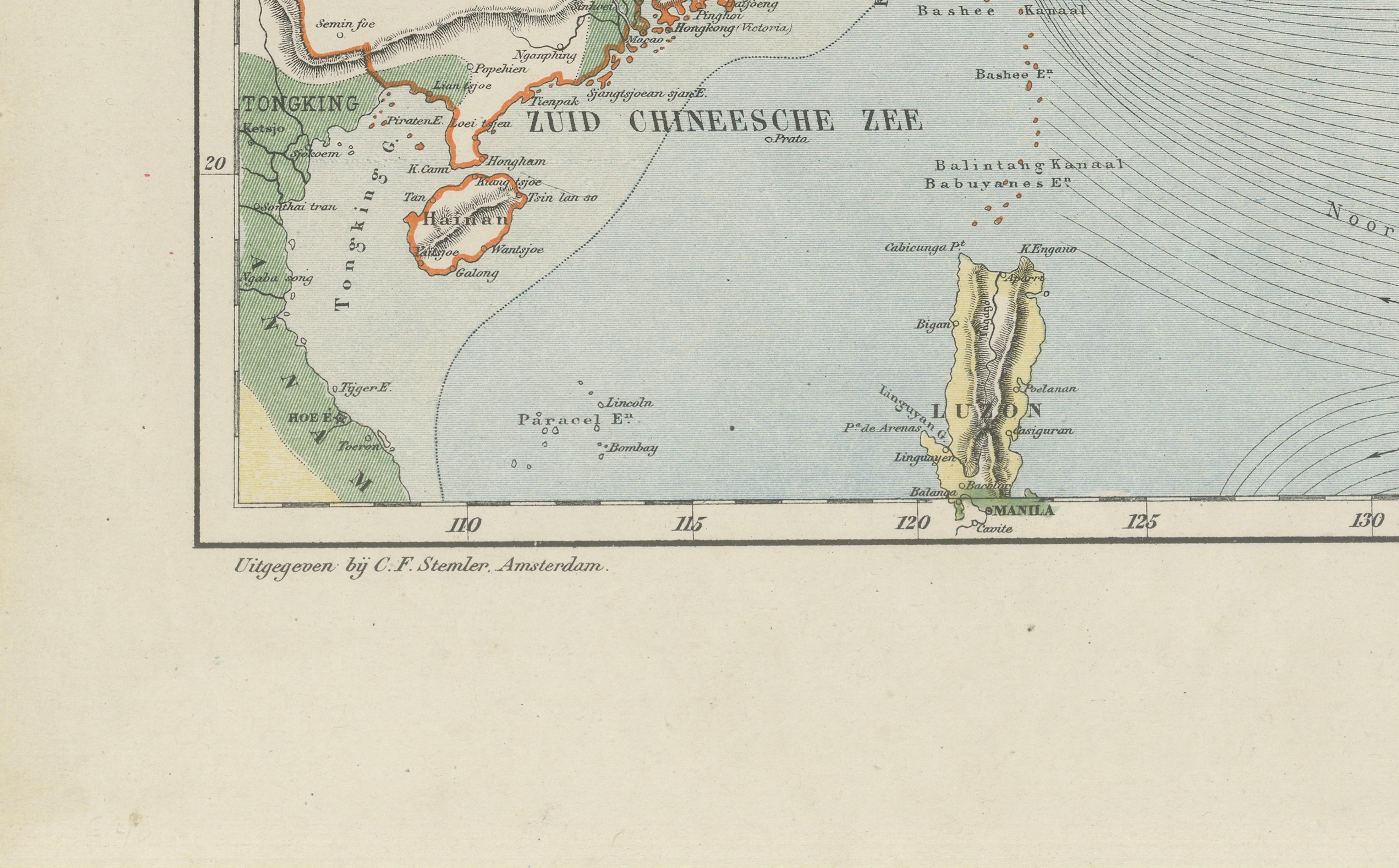
A beautifully engraved and delicately hand-colored 19th-century map of East Asia depicting China, Japan, Korea, and surrounding regions, published by the respected Dutch cartographer and educator Jacob Kuijper. Issued in Amsterdam around the mid-19th century, this finely detailed map reflects the growing European fascination with East Asia during a period of expanding global trade, diplomacy, and exploration.
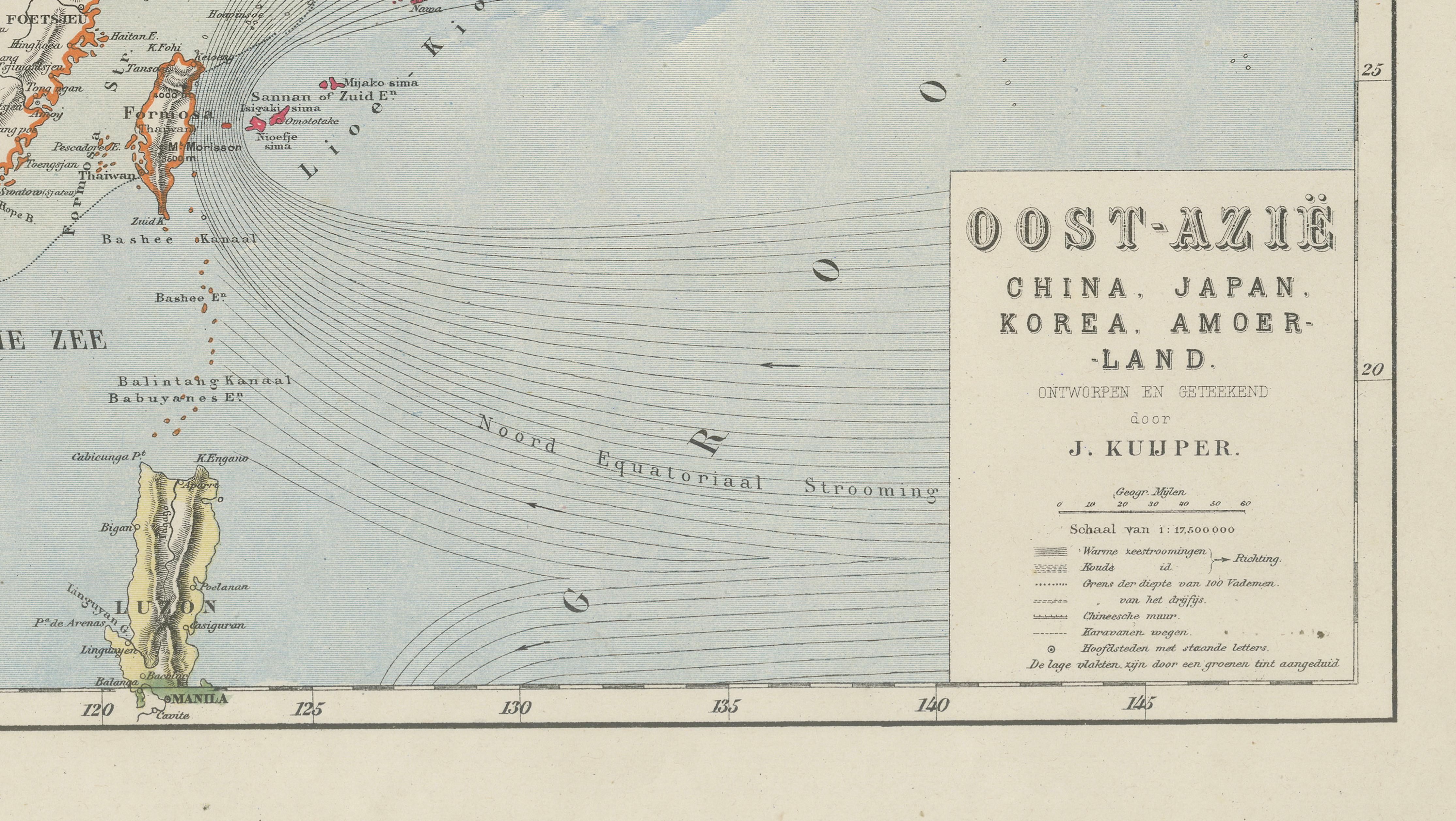
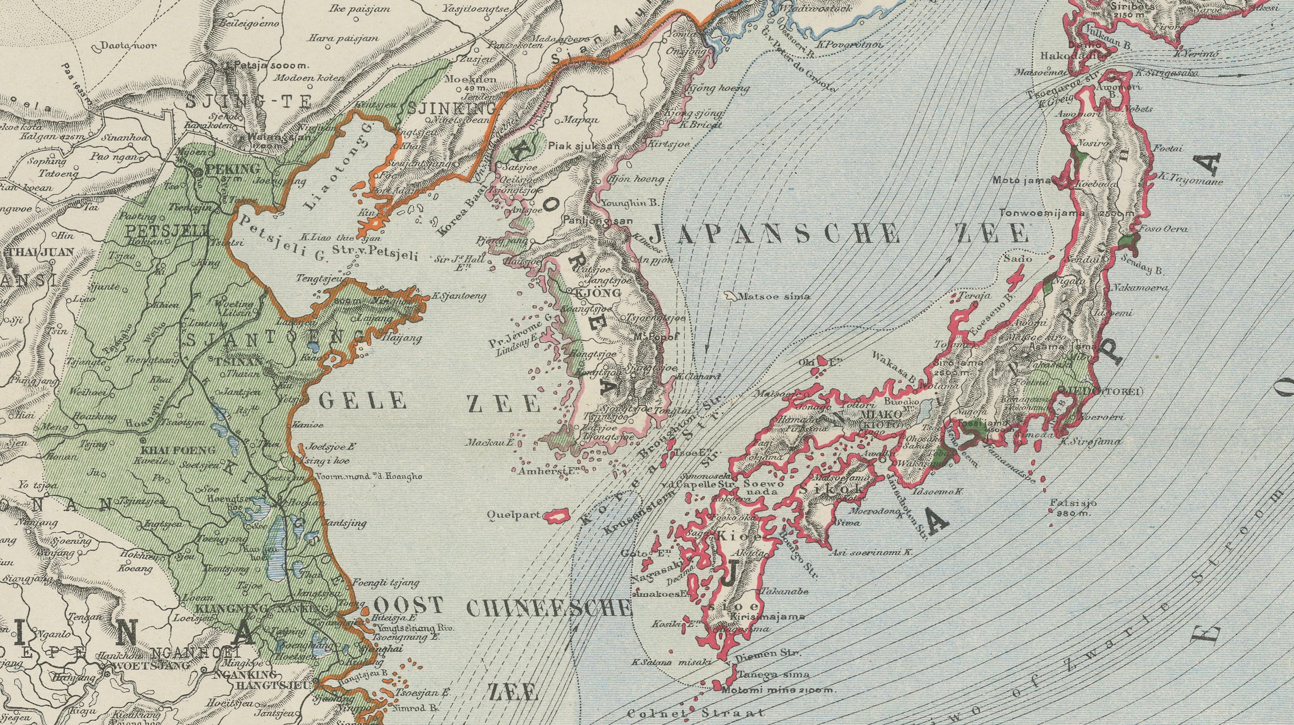
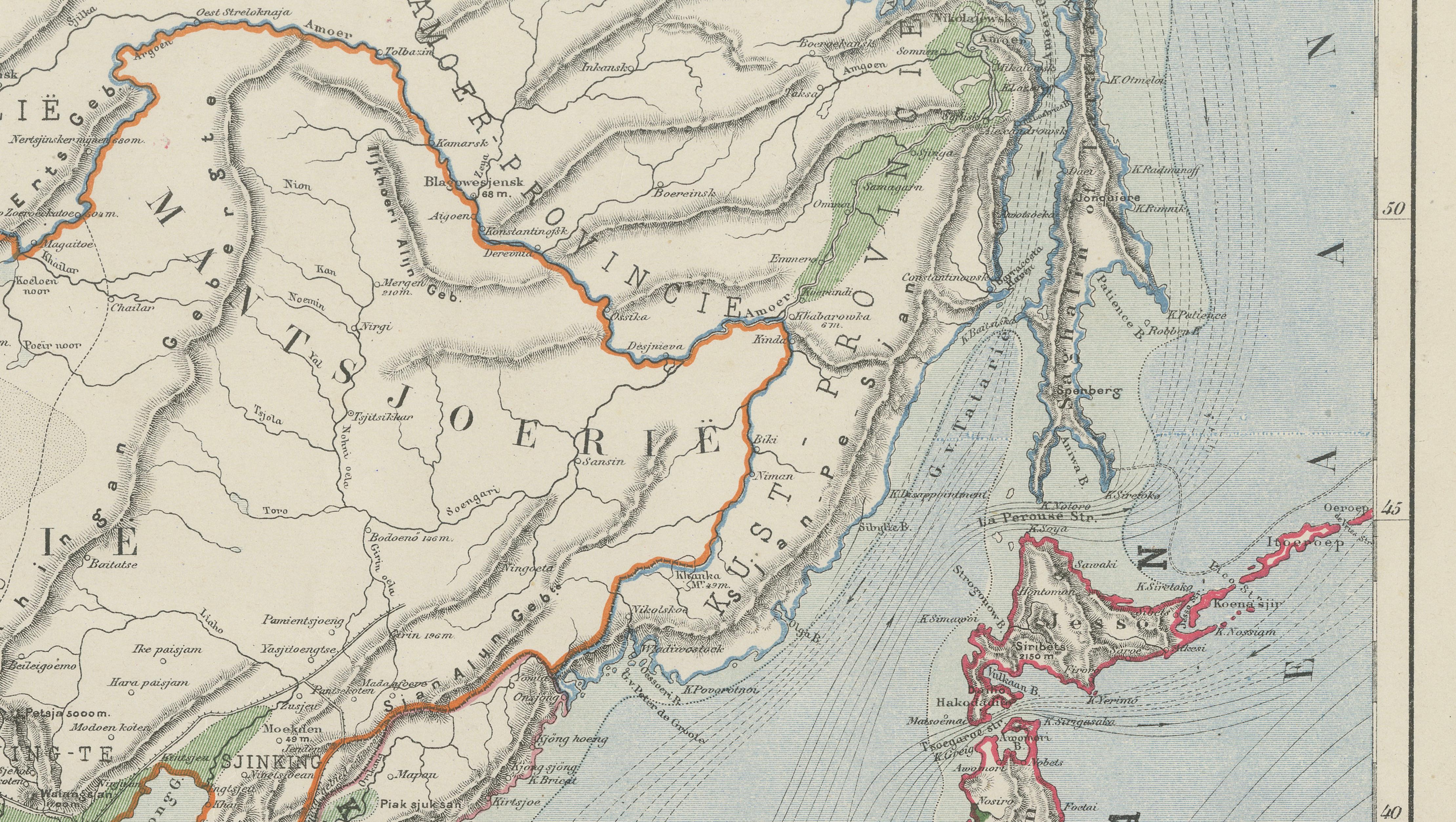
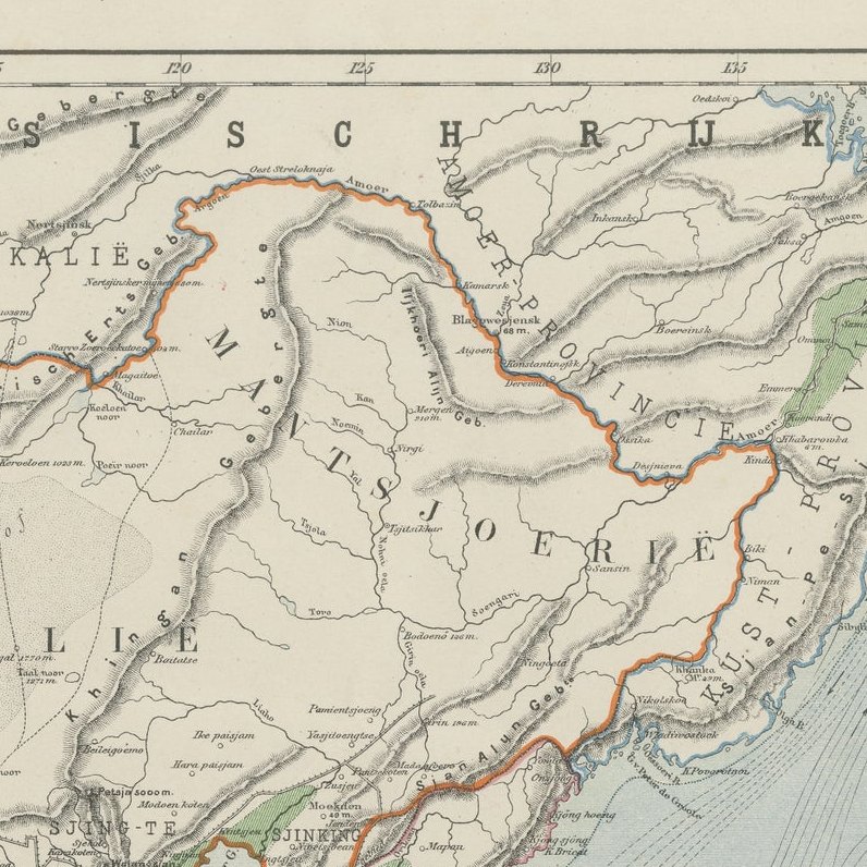
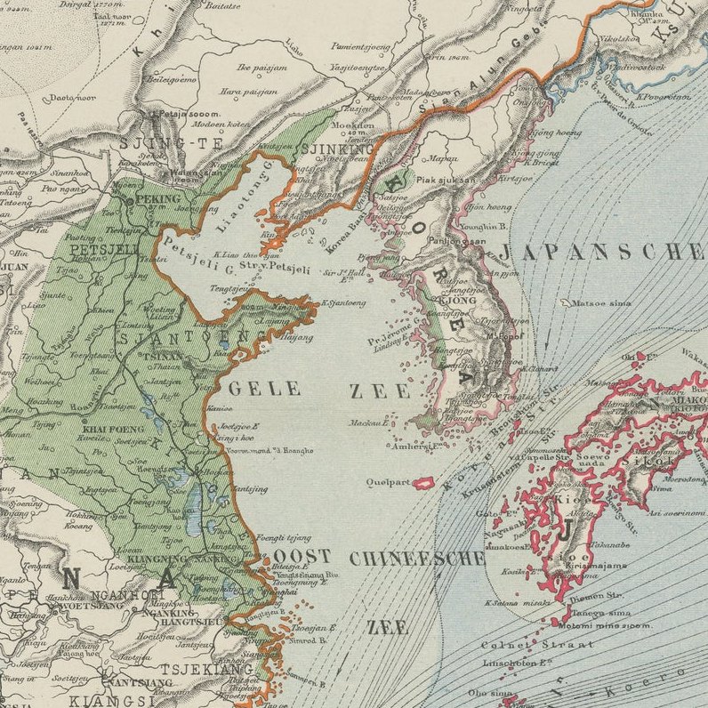
The map is titled “Oost-Azië” and covers an extensive geographic region stretching from eastern China and Mongolia to Korea and the Japanese archipelago. Taiwan, parts of Southeast Asia, and the surrounding seas are also shown with remarkable precision. Japan is prominently outlined in original wash color, while Korea and portions of coastal China are highlighted in contrasting tones, giving the composition strong decorative appeal.
Kuijper’s maps are admired for their elegant balance between scientific clarity and visual refinement. Fine coastal engraving, mountain ranges, rivers, provincial divisions, and maritime routes are rendered with exceptional precision. The typography is clean and sophisticated, while the restrained original hand coloring enhances both readability and decorative quality. The map also reflects the geopolitical understanding of East Asia in the decades before the rapid modernization of Japan during the Meiji era.
This piece works exceptionally well as both a decorative antique map and a historical document of European cartographic interpretation of East Asia. The soft palette and fine linework make it particularly suitable for collectors interested in Japan, China, Korean history, maritime cartography, or 19th-century educational maps.
The map displays exceptionally well in dark walnut, black lacquer, or lightly gilt frames paired with a wide ivory or oatmeal mat. Its refined engraving style and balanced composition make it ideal for libraries, studies, offices, or sophisticated interiors with Asian or travel-inspired themes.
This is an original antique lithographed map with original hand color, not a reproduction. The map is sold unframed; any framed images are shown for presentation and interior inspiration only and may not always be to scale with the original.
Condition report:
The map remains in very good antique condition with attractive original hand coloring. Light age-related toning and occasional minor spotting consistent with age. Margins remain generous and the impression is strong and clear.
Framing tips:
This map displays beautifully in a dark walnut, black lacquer, or lightly gilt frame paired with a wide ivory or warm oatmeal mat. Museum-style framing enhances the subtle hand coloring and elegant engraved detail, giving the piece a refined and timeless presentation.