About this sheet
Imperial Tartary Blaeu Map, Central Asia Caravan Scene c.1642
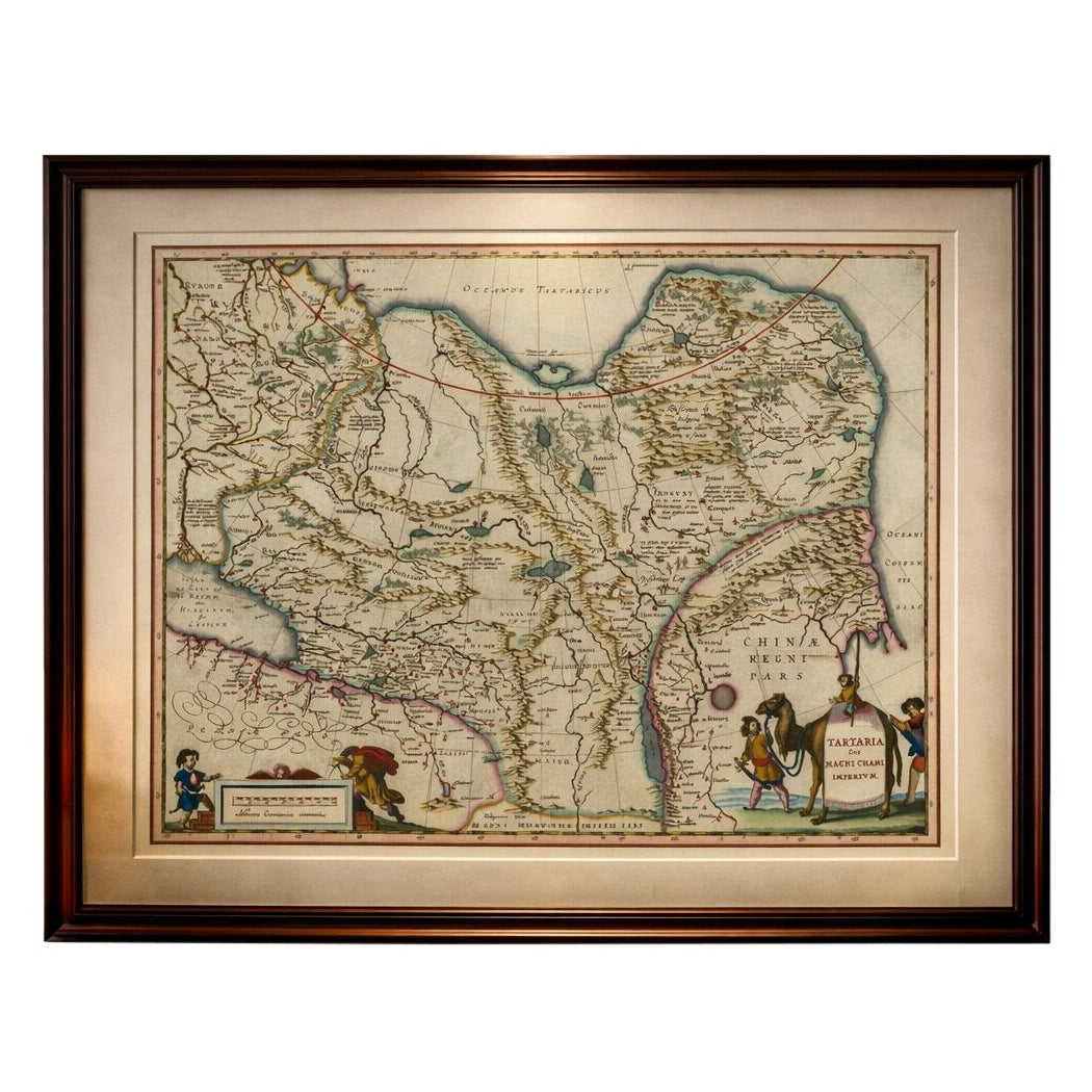
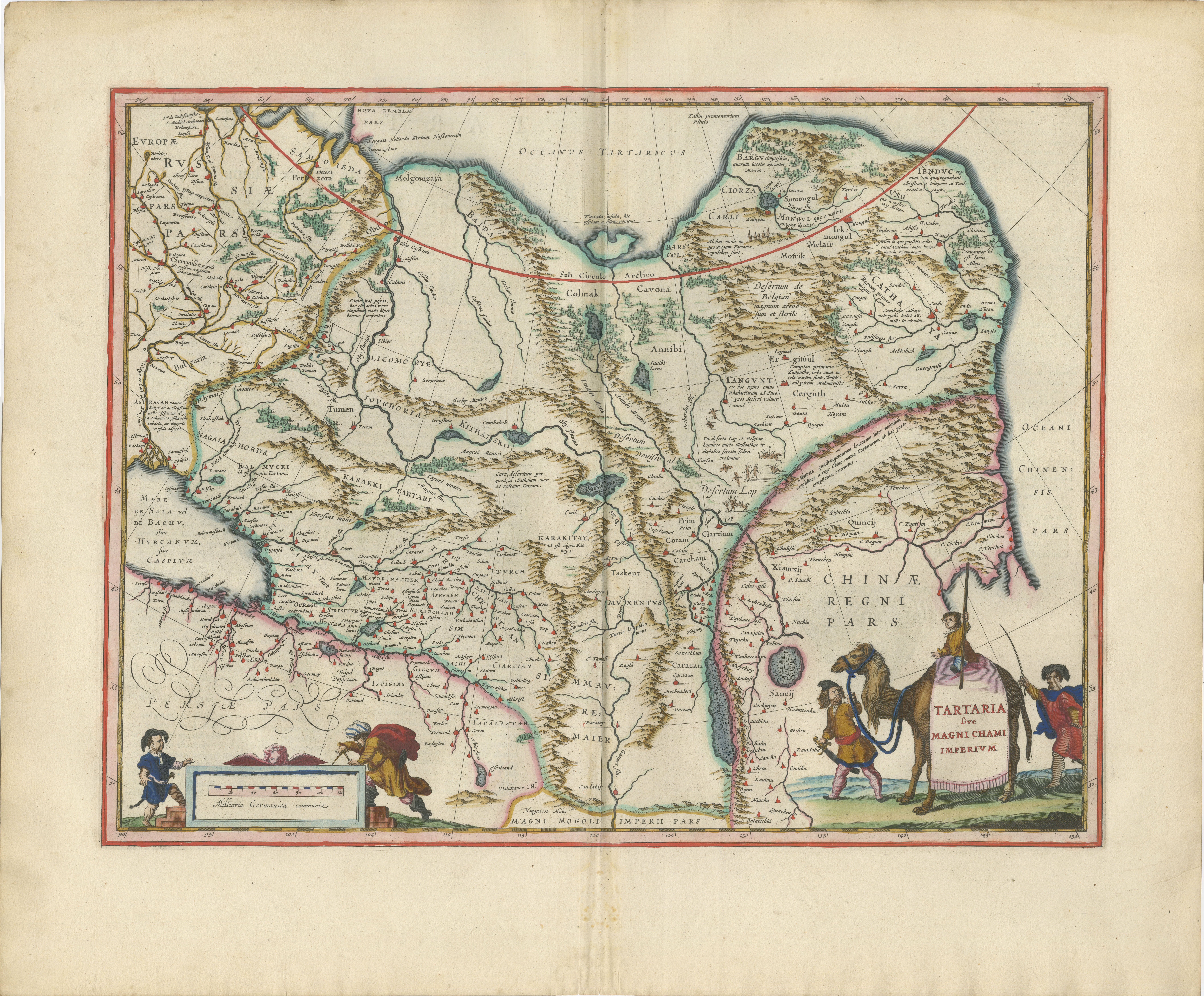
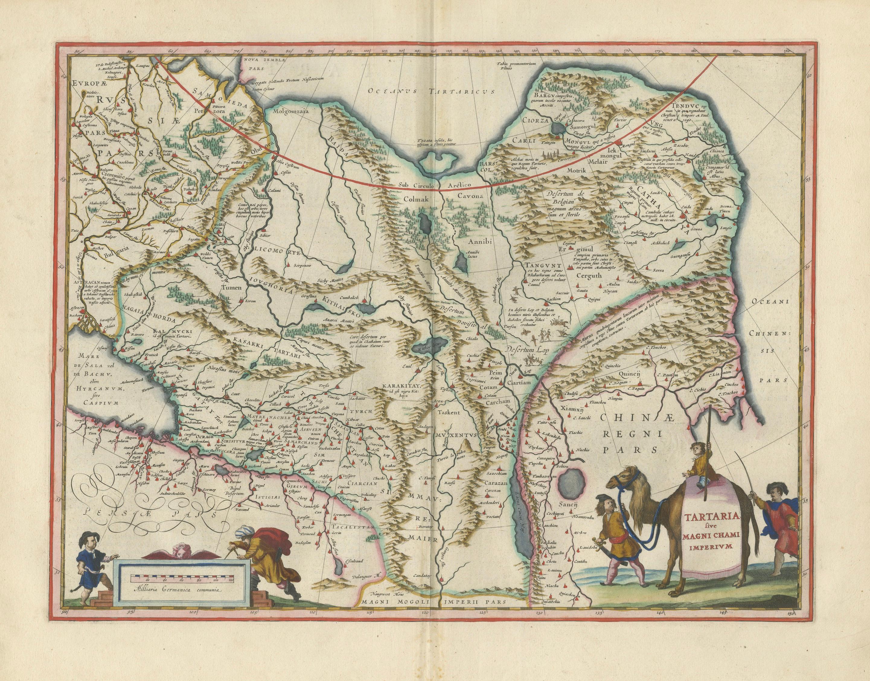
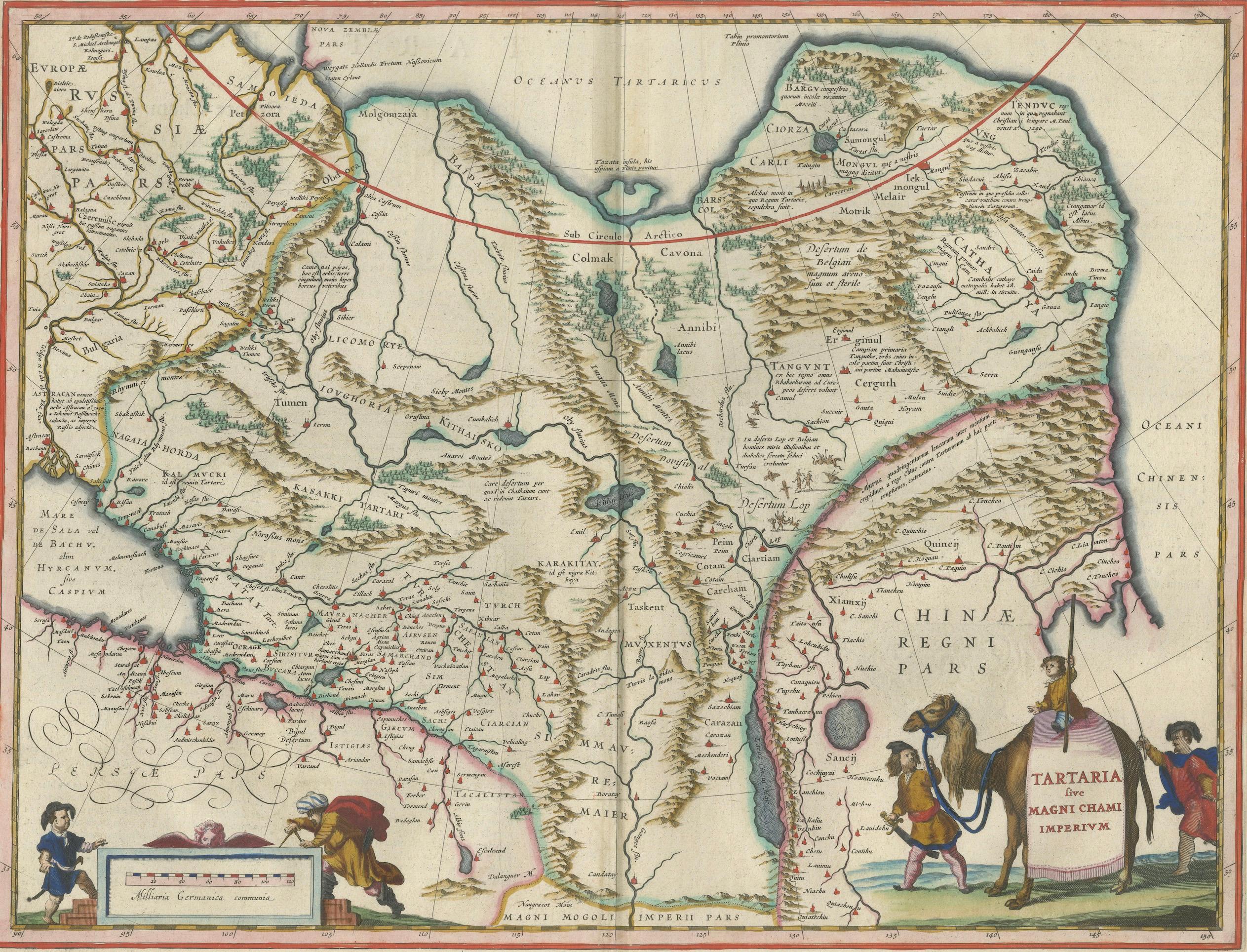
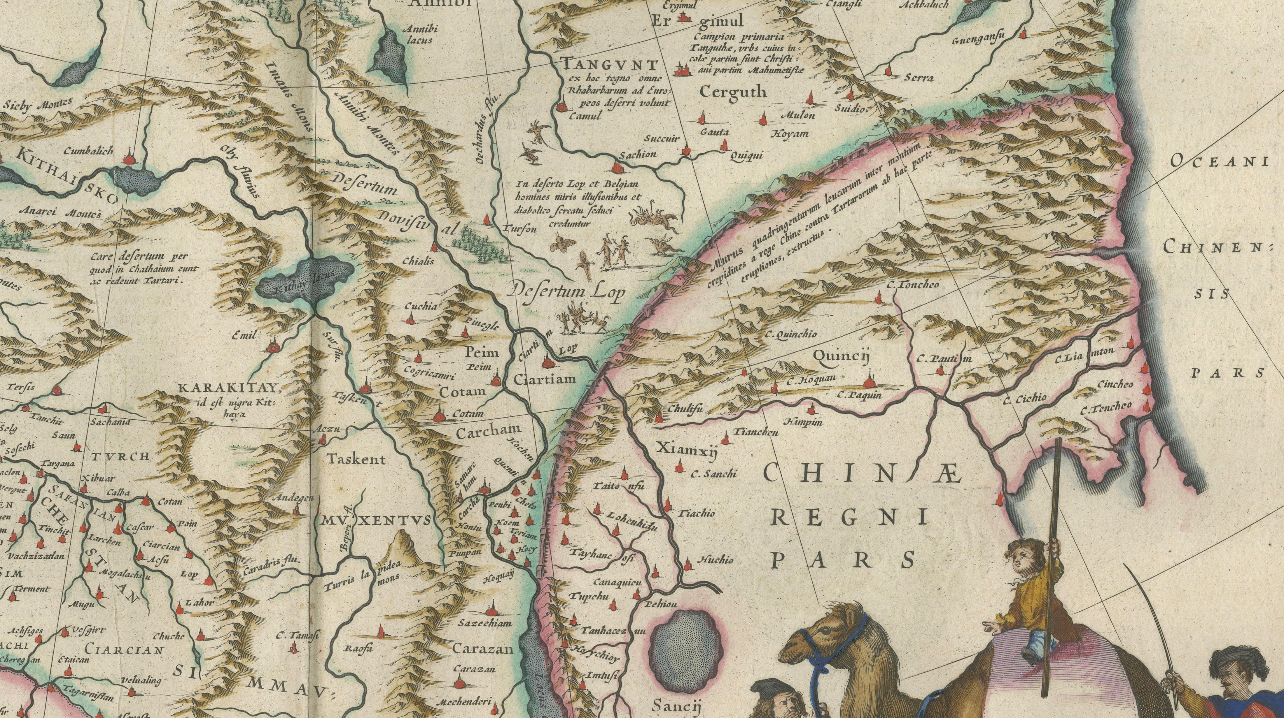
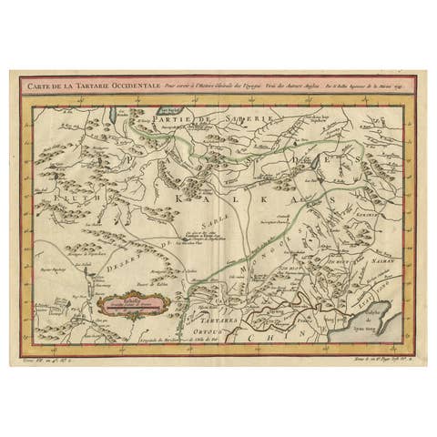
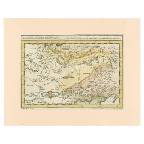
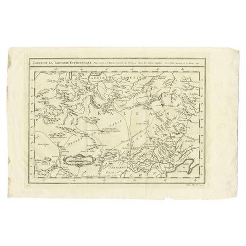
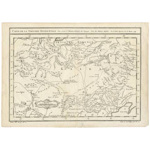
A visually captivating and highly decorative map of Tartary and Central Asia, extending from Eastern Europe across Siberia into northern China, engraved and published by Willem Jansz. Blaeu in Amsterdam around 1642. This impressive composition reflects the European fascination with the vast and largely unknown regions of Inner Asia during the 17th century.
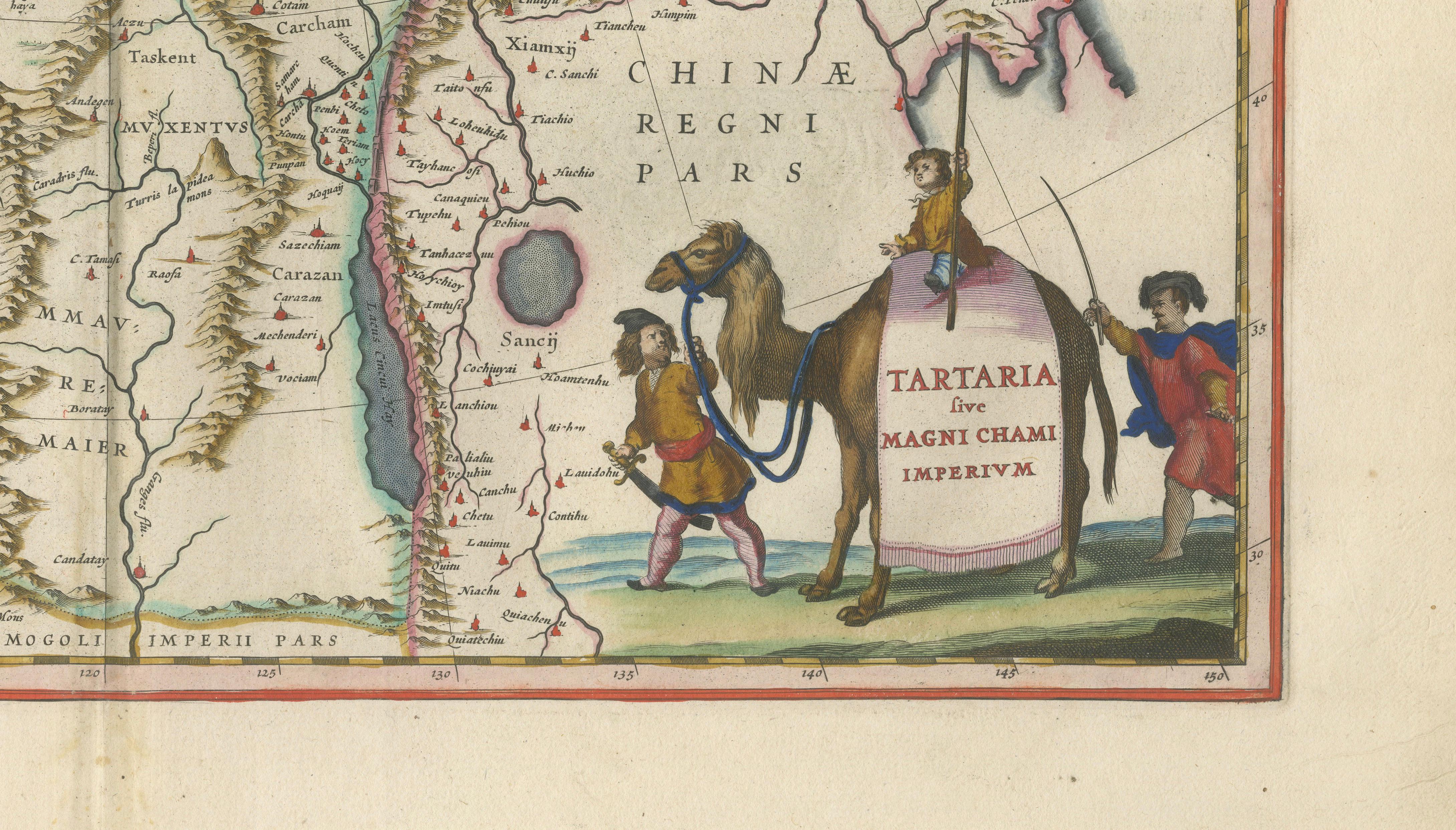
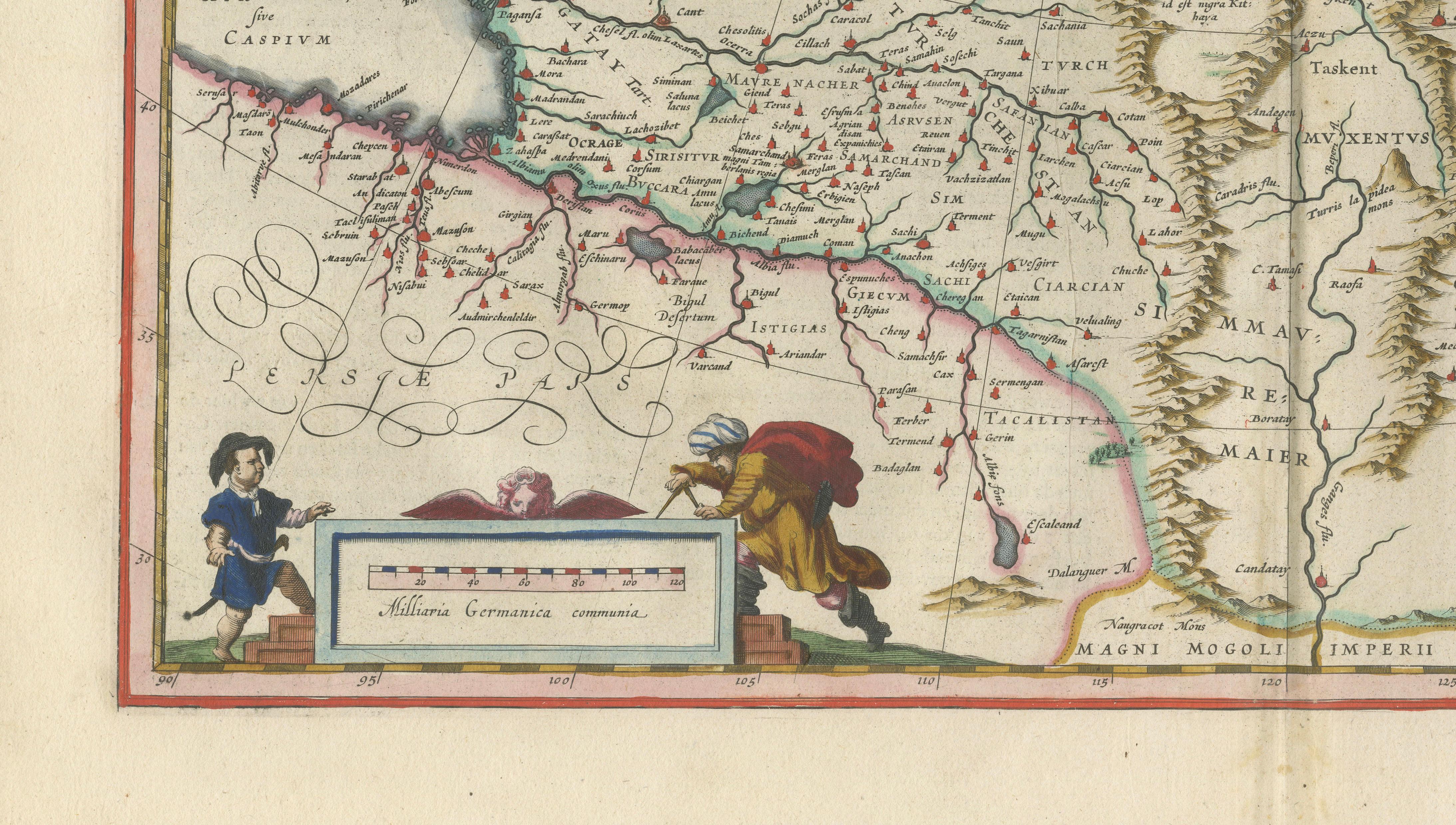
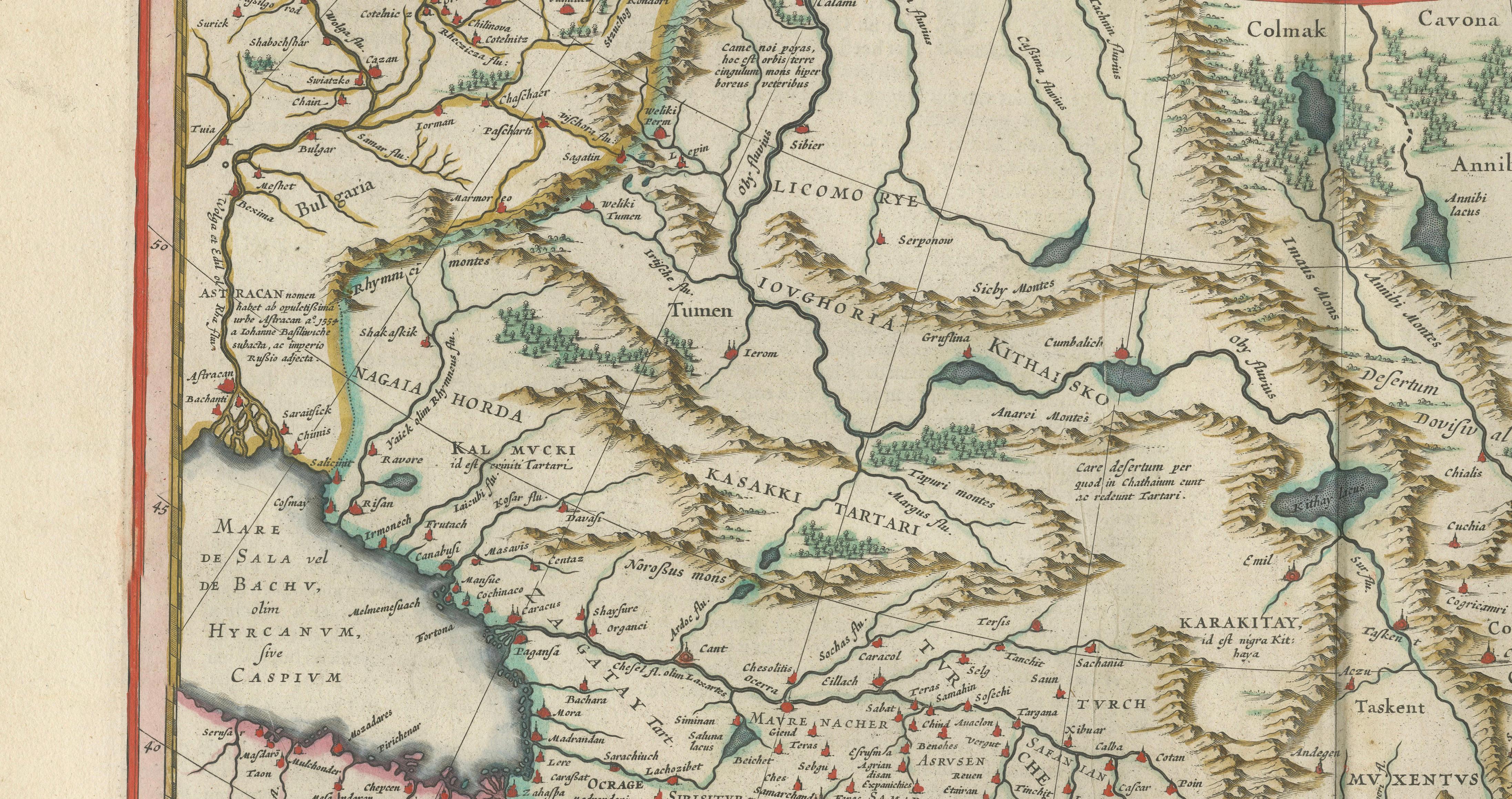
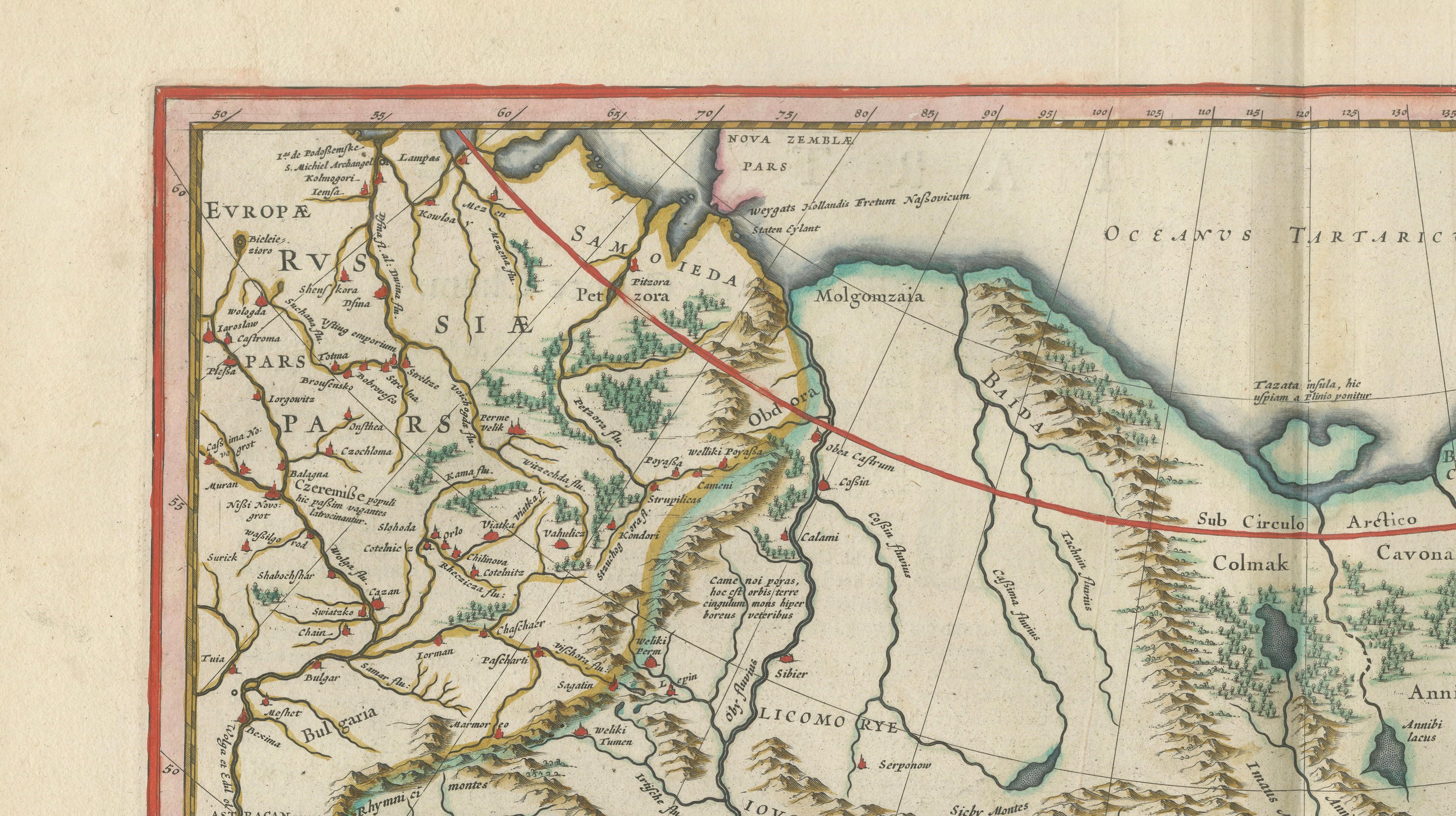
The map depicts an expansive geography, including parts of Russia, Persia, Mongolia, and China, with rivers, mountain ranges, and caravan routes carefully engraved. The Caspian Sea, Siberian territories, and the borders of the Chinese Empire are clearly shown, offering a fascinating insight into early modern geographic understanding of this immense region.
What truly elevates this map is its rich decorative program. In the lower right, a striking scene of a camel caravan with figures in traditional dress illustrates the trade routes that connected East and West. Additional decorative elements include finely engraved figures, an ornate cartouche, and elegant calligraphic flourishes. Original hand coloring enhances both clarity and aesthetic appeal.
Issued in Blaeu’s renowned Toonneel des Aerdrycx atlas, this map represents one of the finest achievements of Dutch Golden Age cartography. Maps of Tartary are particularly sought after due to their rarity, exotic subject matter, and strong visual storytelling.
A standout piece for collectors and an exceptional decorative work, especially suited for interiors with a global, historical, or travel-inspired aesthetic.
Condition: Very good overall with strong original hand color. Central fold as issued. Light age toning and minor spotting in the margins. Plate mark visible.
Framing tips: Excellent in a dark walnut or ebonized frame with a wide ivory mat, allowing the caravan scene and cartouche to stand out.
Technique: Copper engraving with original hand color
Maker: Willem Jansz. Blaeu, Amsterdam, circa 1642
Authenticity note:
This is an original 17th-century engraving, not a reproduction. All items we offer are authentic period works of art over 100 years old. The map is sold unframed; any framed images are shown for presentation and interior inspiration only.
Keywords: Tartary, Central Asia, Mongolia, Siberia, Russia, Persia, China, Caspian Sea, Kazakhstan, Uzbekistan, Turkmenistan, Kyrgyzstan, Afghanistan, Tibet, Inner Asia, Silk Road, caravan routes, camel caravan, trade routes Asia, early modern Asia, 17th century Asia, antique Asia map, Blaeu Tartary map, Dutch Golden Age map, decorative cartouche, costume figures, Asian heritage map, collectors Asia map, interior wall map Asia, decorative antique map, historic Asia geography, European view of Asia, rare Asia map, museum quality map, hand colored map Asia, fine engraving Asia, classical cartography Asia, antique wall decor Asia, designer interior map, high end wall art Asia, Blaeu Central Asia map, old world Asia map, historic Far East map