About this sheet
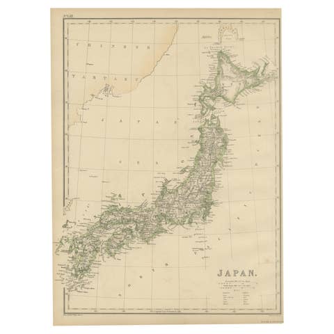
Antique Map of Japan by Johnson & Ward, Decorative Civil War Era Atlas Map
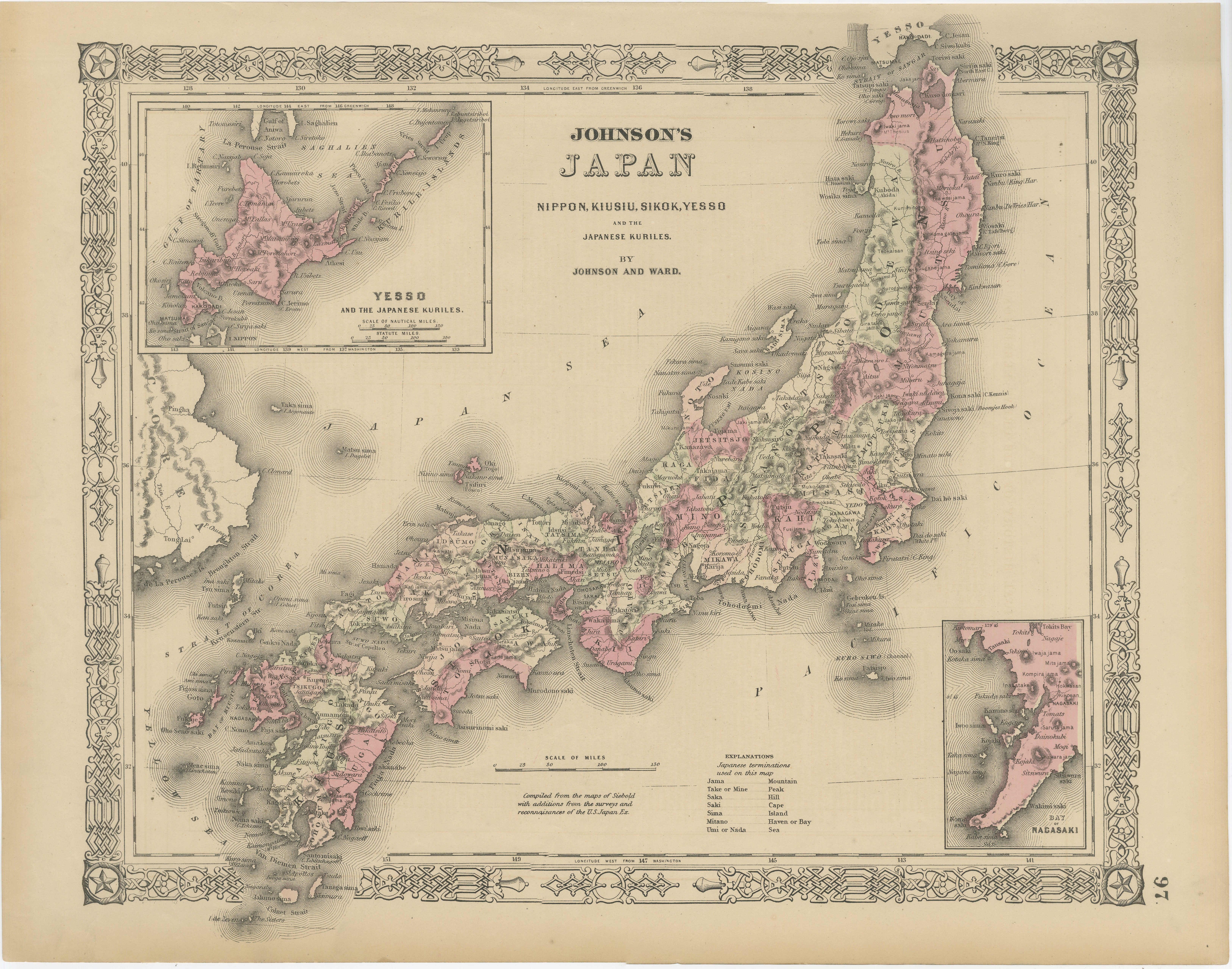
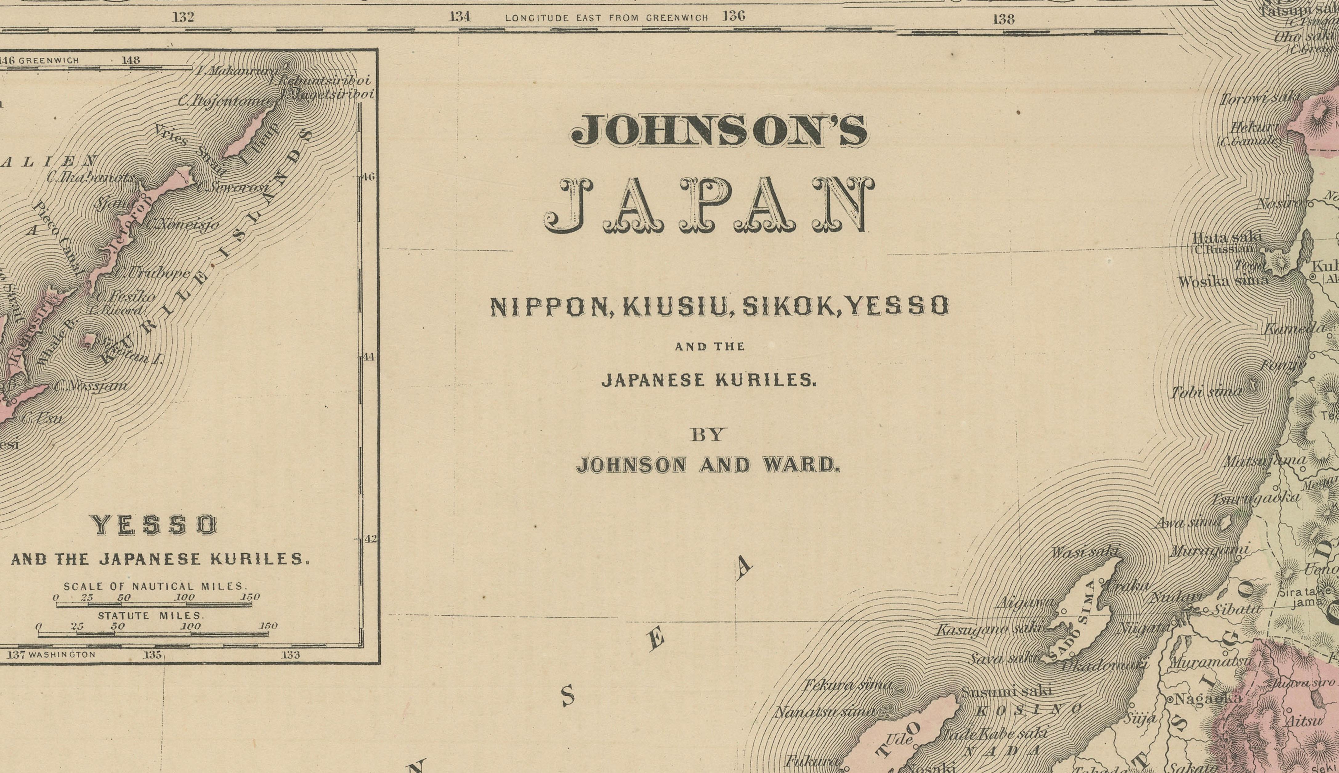
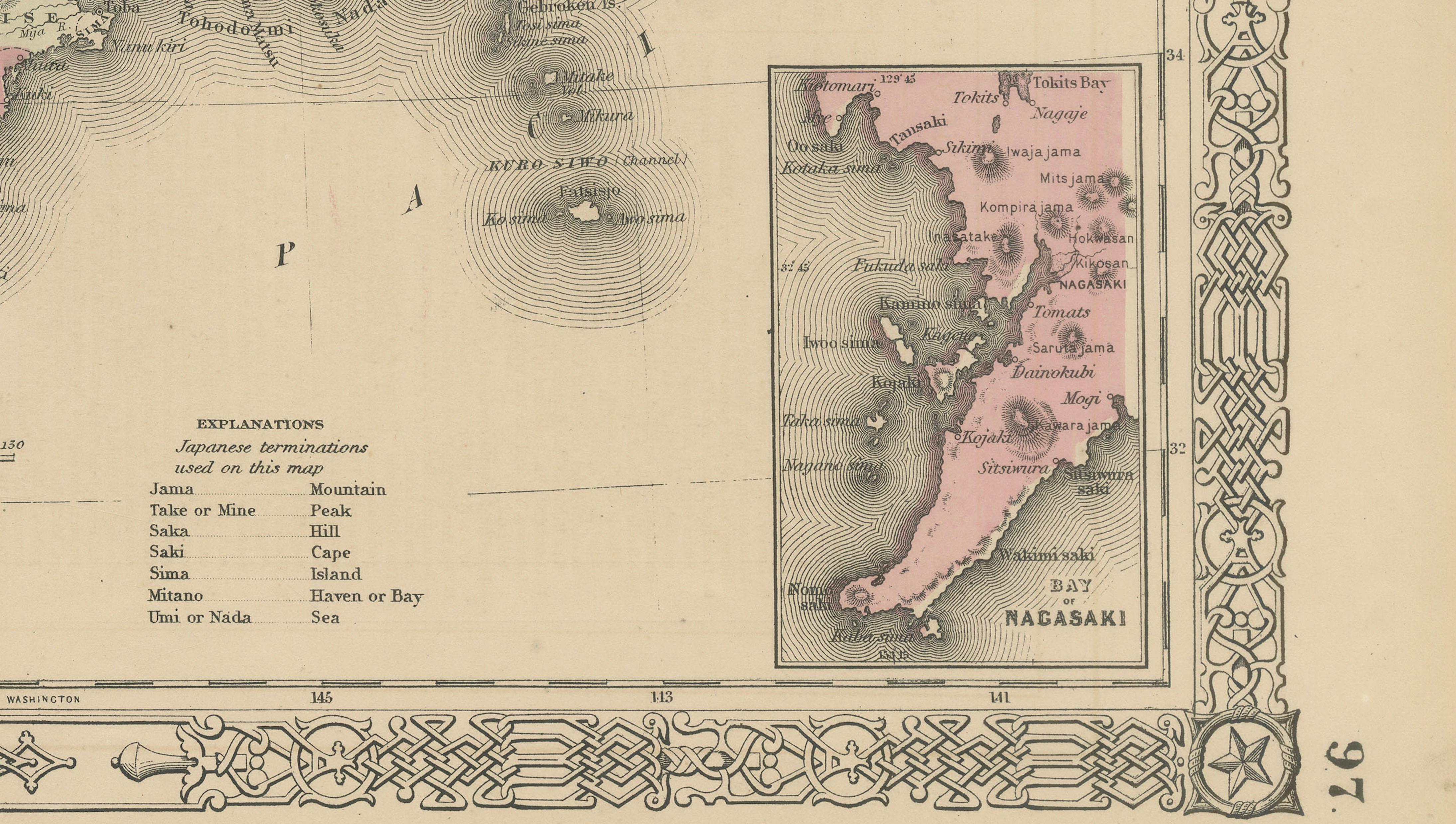
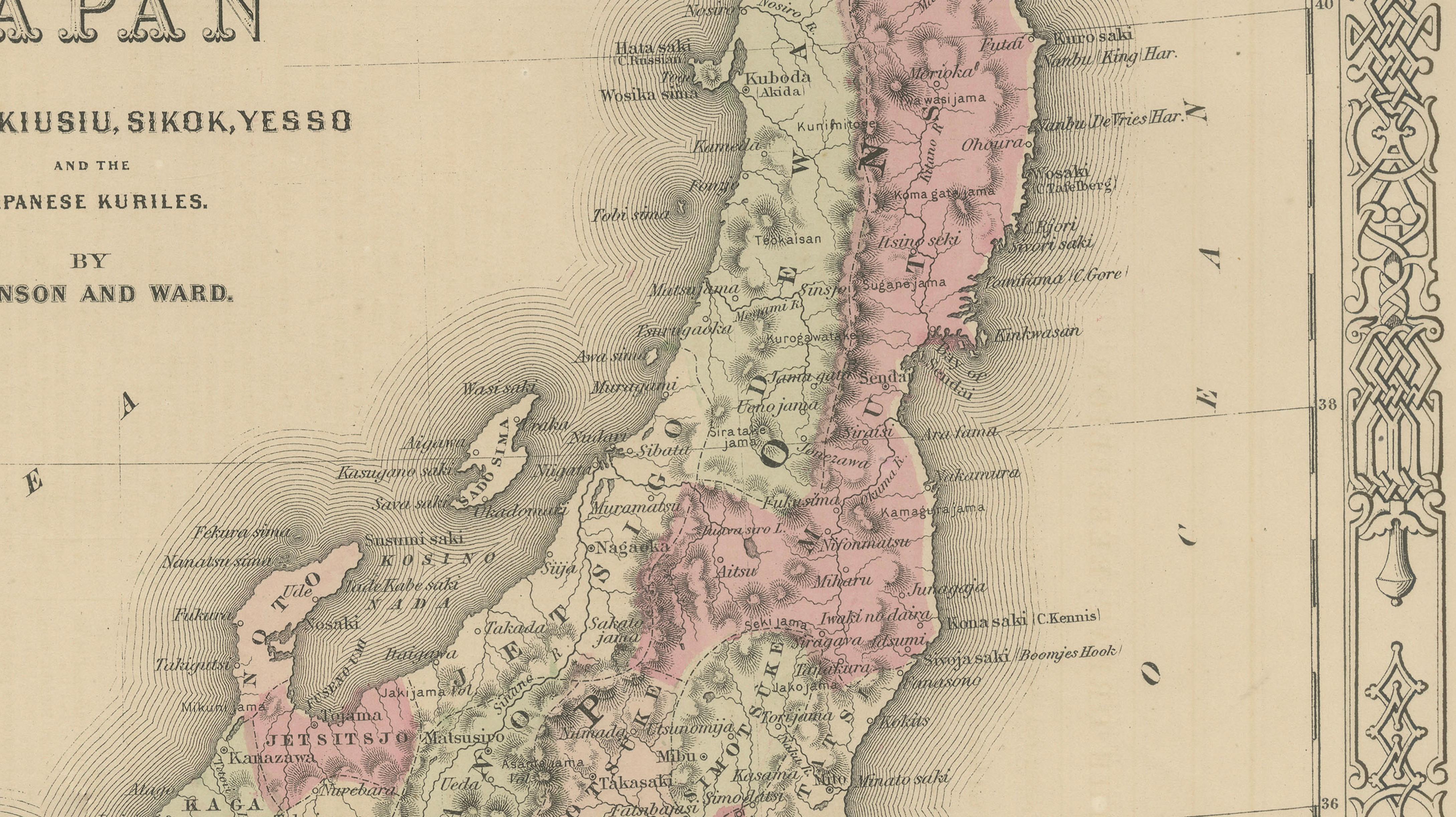
Fine and highly decorative antique map of Japan titled “Johnson’s Japan, Nippon, Kiusiu, Sikok, Yesso and the Japanese Kuriles,” published by Johnson & Ward in the United States during the mid-19th century, circa 1862–1865. This beautifully engraved map depicts the Japanese archipelago in considerable detail shortly after Japan’s gradual opening to Western trade and diplomacy during the late Edo period.
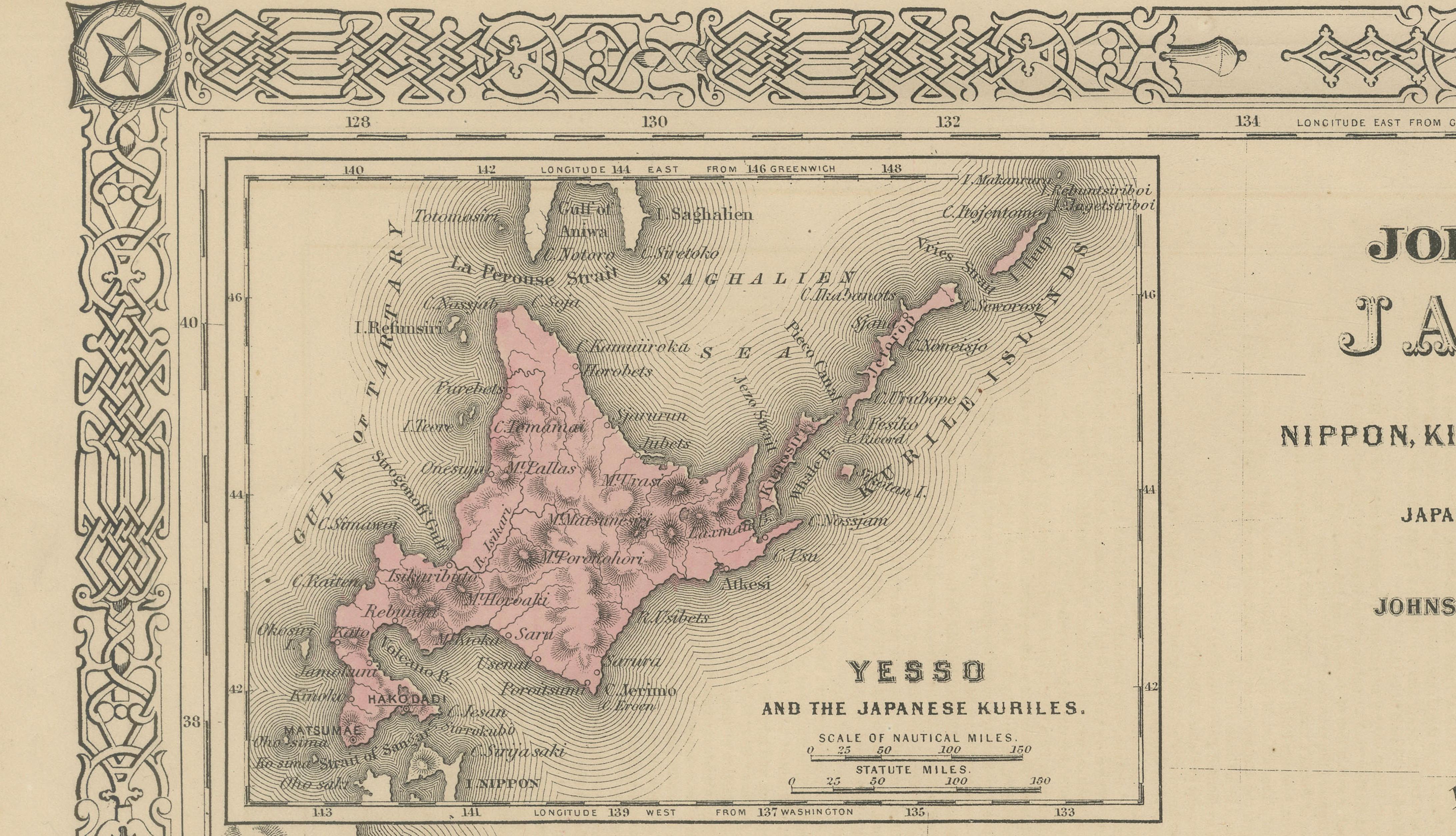
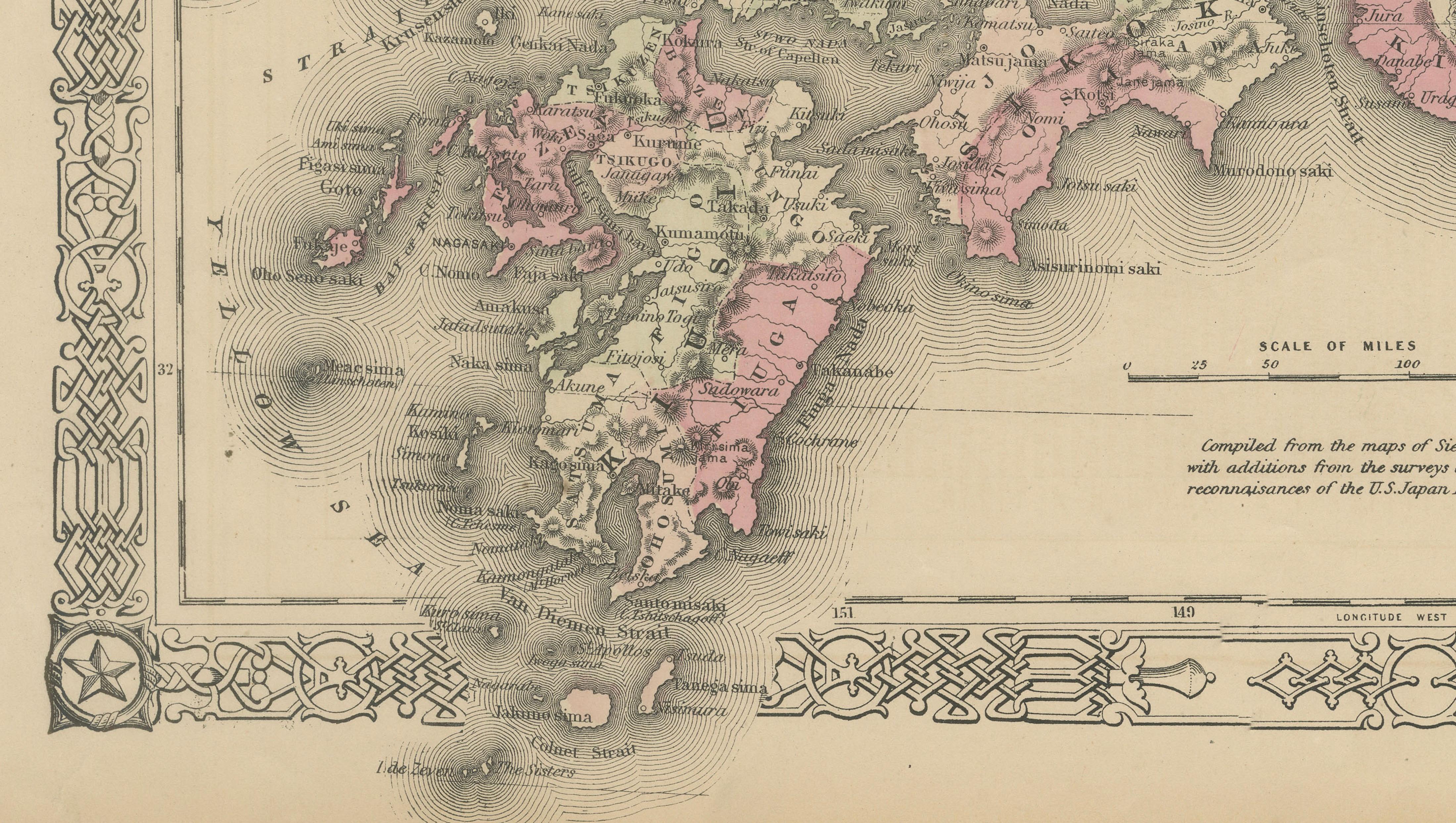
The map includes the principal islands of Nippon (Honshu), Kiusiu (Kyushu), Sikok (Shikoku), and Yesso (Hokkaido), together with the Kurile Islands. Decorative inset maps show Yesso and Nagasaki in greater detail. The composition is surrounded by Johnson’s characteristic ornamental border, inspired by Celtic and Gothic motifs, which gives the piece exceptional decorative appeal.
Produced during a transformative moment in Japanese and global history, this map reflects growing Western fascination with Japan following Commodore Perry’s expeditions and the opening of Japanese ports to international trade. American atlas publishers rapidly sought to update geographic knowledge of East Asia, and Johnson & Ward became among the most influential cartographic publishers of the Civil War era.
The engraving combines delicate linework with attractive original hand coloring in soft pinks, greens, and greys. Coastal shading and bathymetric detailing create a visually refined appearance, while the decorative border elevates the piece far beyond a purely functional map. The map works equally well as a historical document and as a sophisticated decorative artwork.
An excellent collector’s item for enthusiasts of Japan, Asian cartography, Meiji-era history, maritime trade, Americana, and decorative 19th-century maps. It displays beautifully in libraries, studies, offices, Japanese-inspired interiors, and sophisticated gallery walls.
Keywords: Japan map, Nippon, Johnson map, Johnson & Ward, Japanese Kuriles, Nagasaki, Yesso, Hokkaido, Edo period, Meiji Restoration, antique Asia map, Japanese cartography, Civil War era atlas, decorative map, 19th century map, Tokyo, Osaka, Kyoto, Yokohama, East Asia, Pacific map, antique atlas engraving.
Condition report:
Some light age toning, occasional minor spotting, and gentle handling wear consistent with age. Minor edge wear and small marginal imperfections. Overall a very attractive and well-preserved example with strong original color and excellent decorative appearance.
Framing tips:
This map displays exceptionally well in dark walnut, black lacquer, or lightly gilt frames paired with a wide ivory or oatmeal mat. Its refined engraving style and elegant border make it especially suitable for libraries, studies, Japanese-inspired interiors, or sophisticated gallery walls.
Technique: Steel engraving with original hand color
Maker: Johnson & Ward, United States, circa 1862–1865