About this sheet
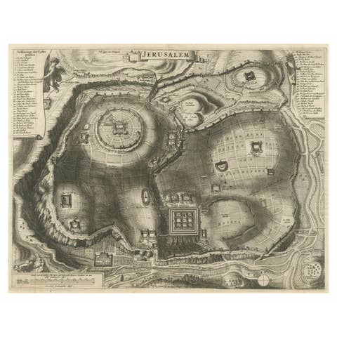
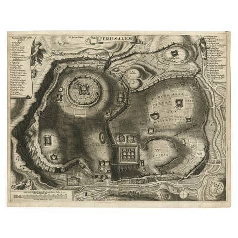
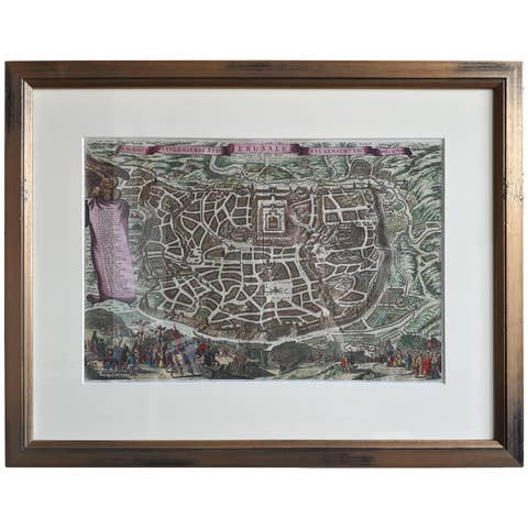
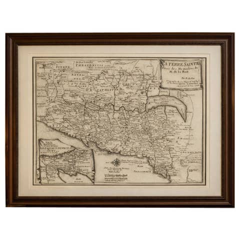
Antique Map of the Holy Land Palestine & Jerusalem, Elias Baeck ca. 1700
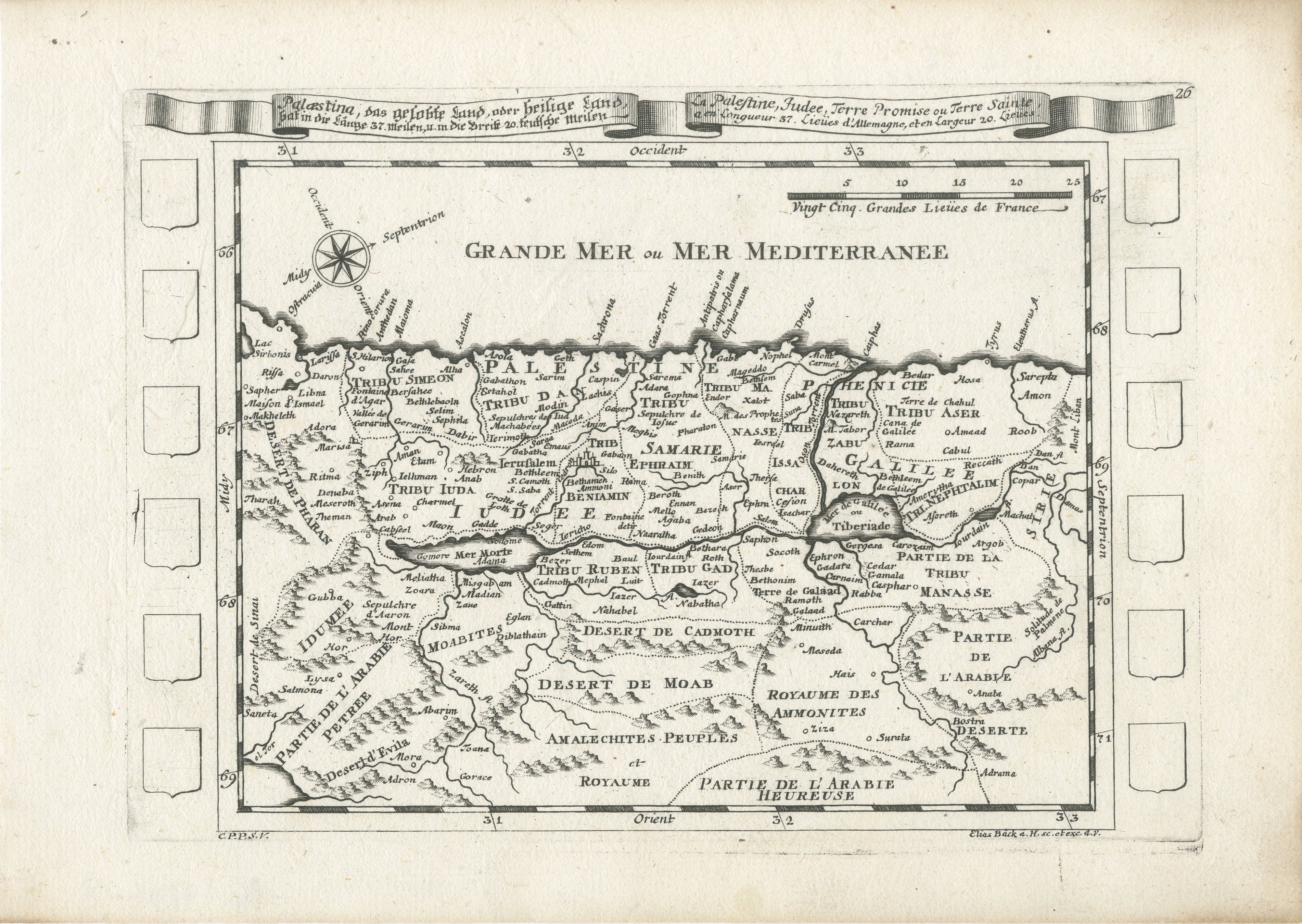
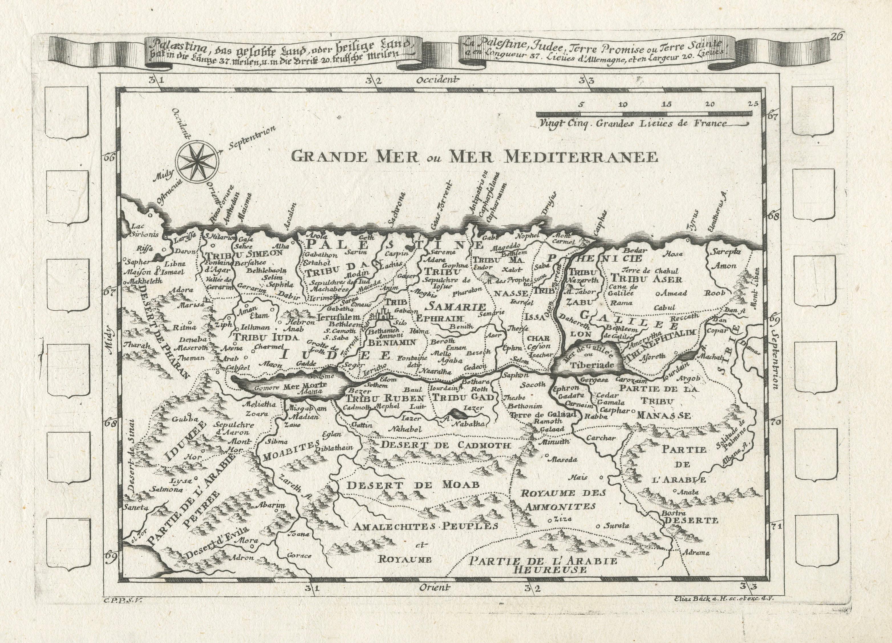
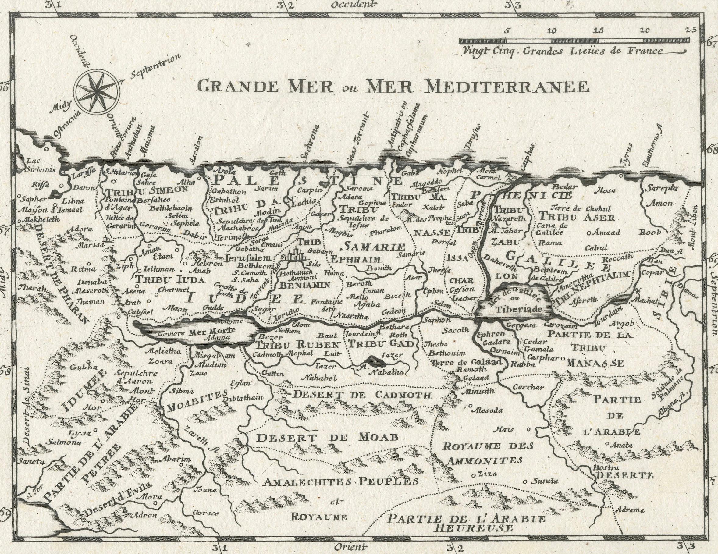
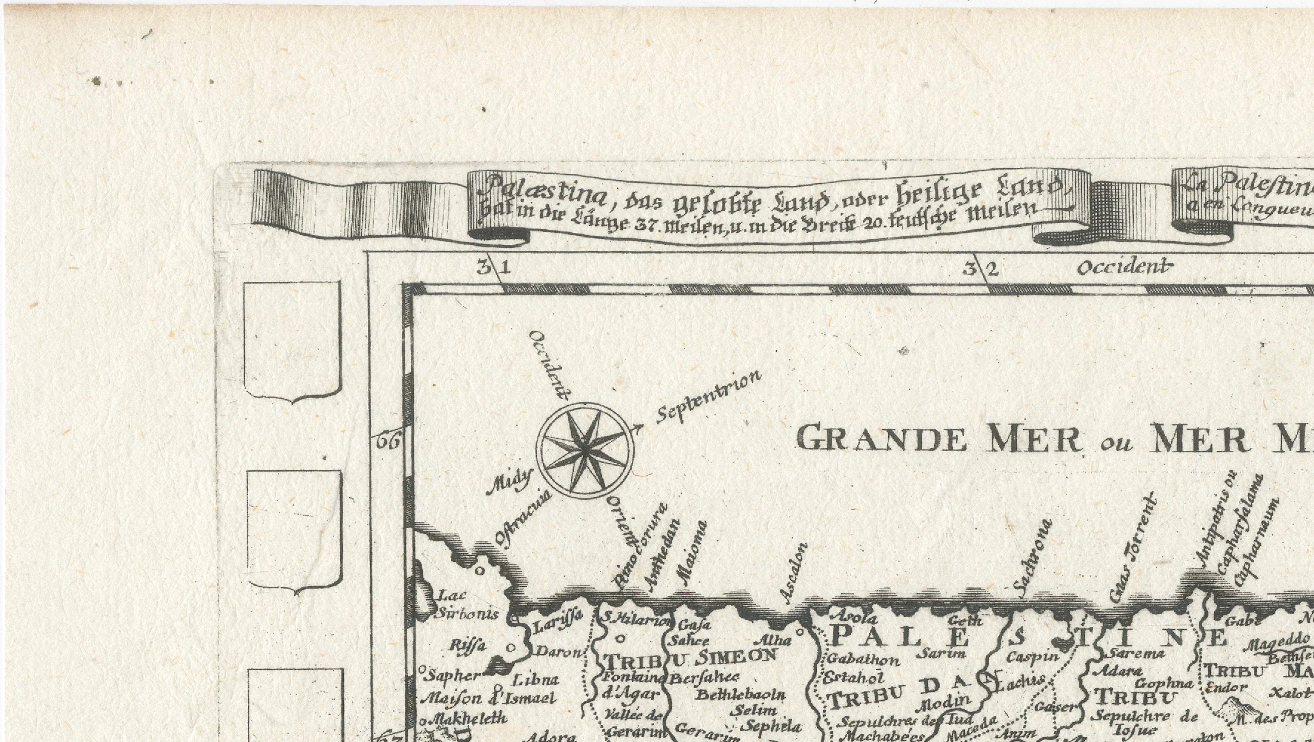
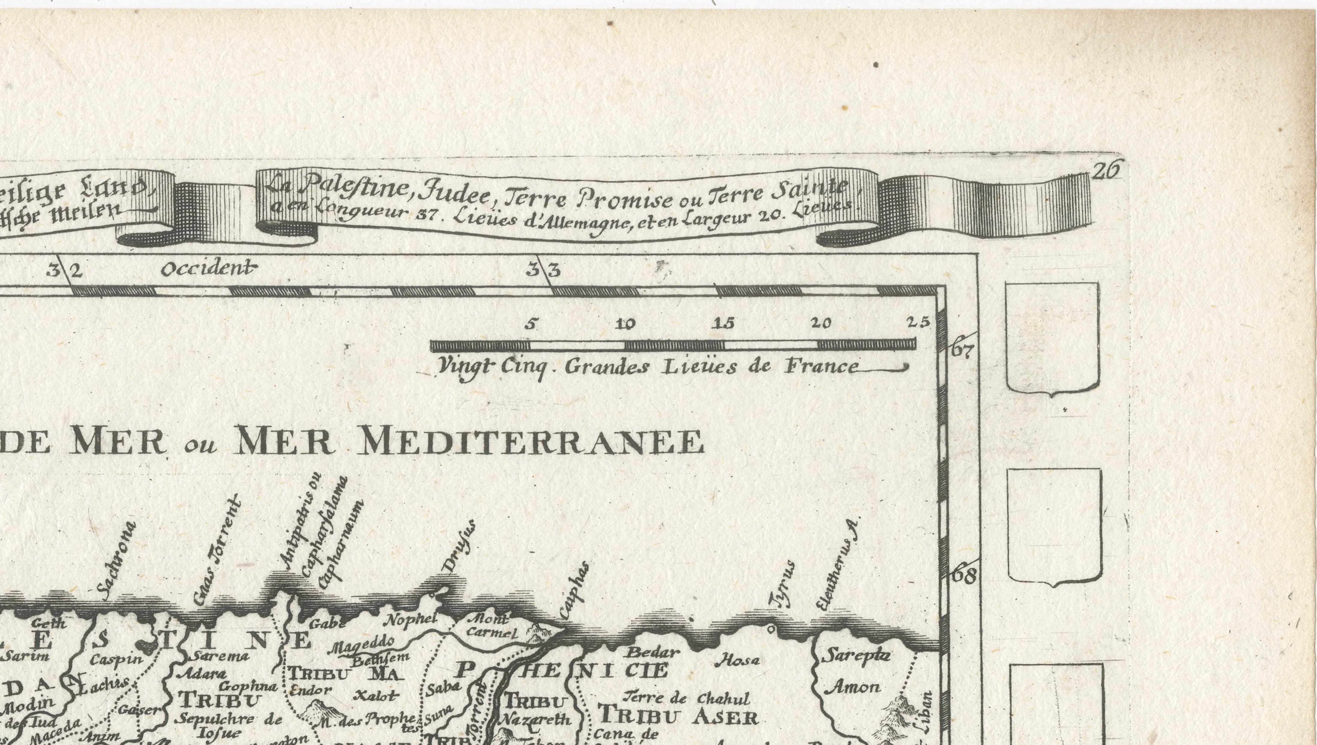
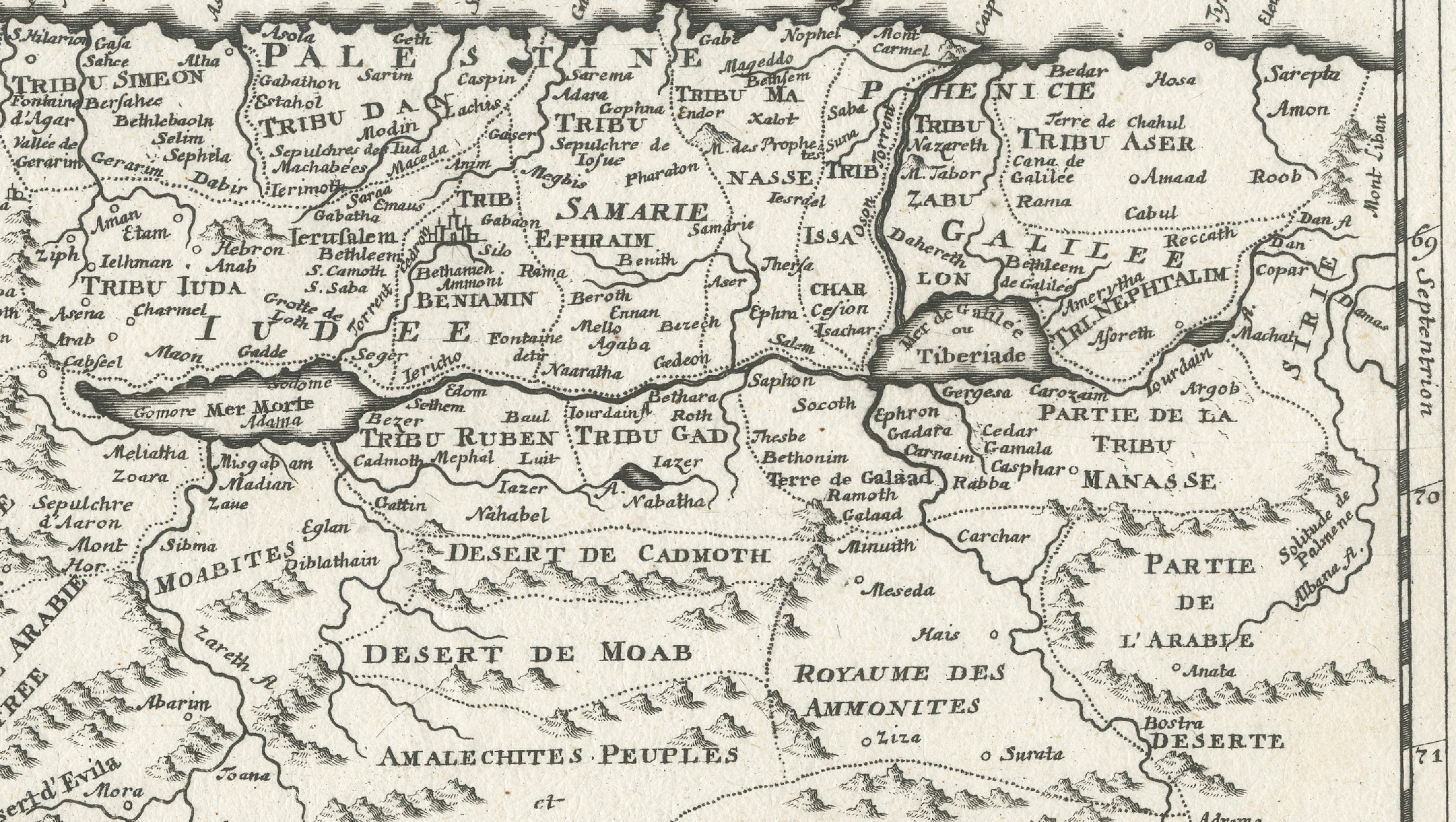
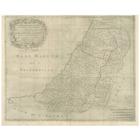
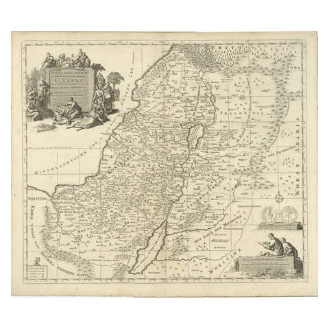
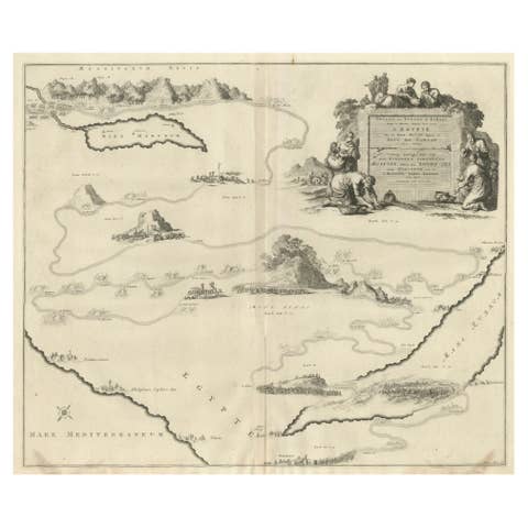
Decorative and historically fascinating early map of the Holy Land, titled “Palæstina, das gelobte Land, oder heiliges Land,” engraved by Elias Baeck in Augsburg around 1700. This finely detailed copperplate engraving depicts biblical Palestine and the tribal divisions of ancient Israel, extending from the Mediterranean coast and Jerusalem eastward toward Arabia and the territories beyond the River Jordan.
The map is presented in an elegant baroque style typical of German cartography from the late 17th and early 18th centuries. A decorative title banner crowns the composition in German and French, emphasizing the international audience for biblical and historical maps during this period. The engraving carefully identifies the territories of the Twelve Tribes of Israel, including Juda, Benjamin, Ephraim, Manasseh, Asher, Zabulon, and Naphtali, while also marking important biblical cities such as Jerusalem, Bethlehem, Nazareth, Jericho, Hebron, and Samaria.
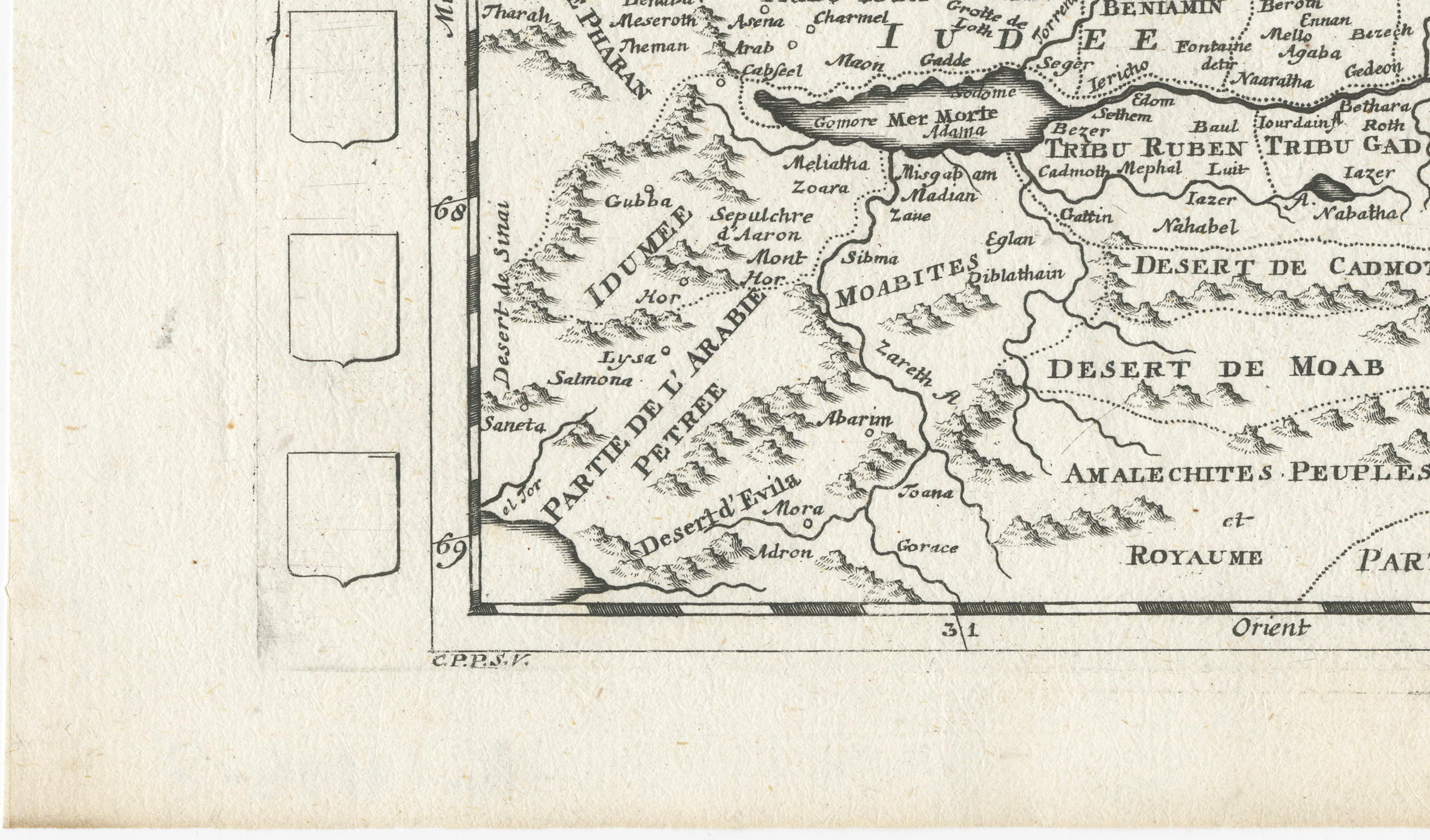
The Dead Sea, River Jordan, Mediterranean coastline, deserts, and mountainous regions are rendered with remarkable clarity despite the compact scale of the work. Decorative compass roses and engraved topographical features give the map both scholarly appeal and visual elegance. Blank heraldic shields along the borders suggest that the map may once have been intended for coloring or personalization in an atlas or educational publication.
Maps of the Holy Land held enormous importance in early modern Europe, where biblical geography was central to theology, pilgrimage, and historical study. Augsburg publishers such as Elias Baeck were known for producing refined engravings that combined decorative artistry with educational value. This example is especially attractive for collectors interested in biblical cartography, early German engravings, or maps of Palestine and Jerusalem before the modern era.
The restrained monochrome palette and balanced composition make this engraving particularly suitable for both traditional and contemporary interiors. It works beautifully as part of a Holy Land collection or alongside other early maps of the Mediterranean and Near East.
Keywords: Jerusalem, Palestine, Holy Land, Israel, Judaea, Samaria, Bethlehem, Nazareth, Jericho, River Jordan, Dead Sea, Mediterranean, biblical map, Twelve Tribes of Israel, Arabia Petraea, Elias Baeck, Augsburg, antique map, copperplate engraving, sacred geography.
Condition: Good antique condition with minor age toning and light wear consistent with age. Strong dark impression with attractive original plate mark visible.
Framing tips: Displays exceptionally well in dark walnut, black lacquer, or lightly gilt frames paired with a wide ivory or oatmeal mat. Ideal for libraries, studies, religious interiors, or sophisticated gallery walls focused on history or cartography.
Technique: Copperplate engraving
Maker: Elias Baeck, Augsburg, ca. 1700