About this sheet
Places Recorded in the Five Books of Moses — Biblical Holy Land Map, Wilkinson 1827
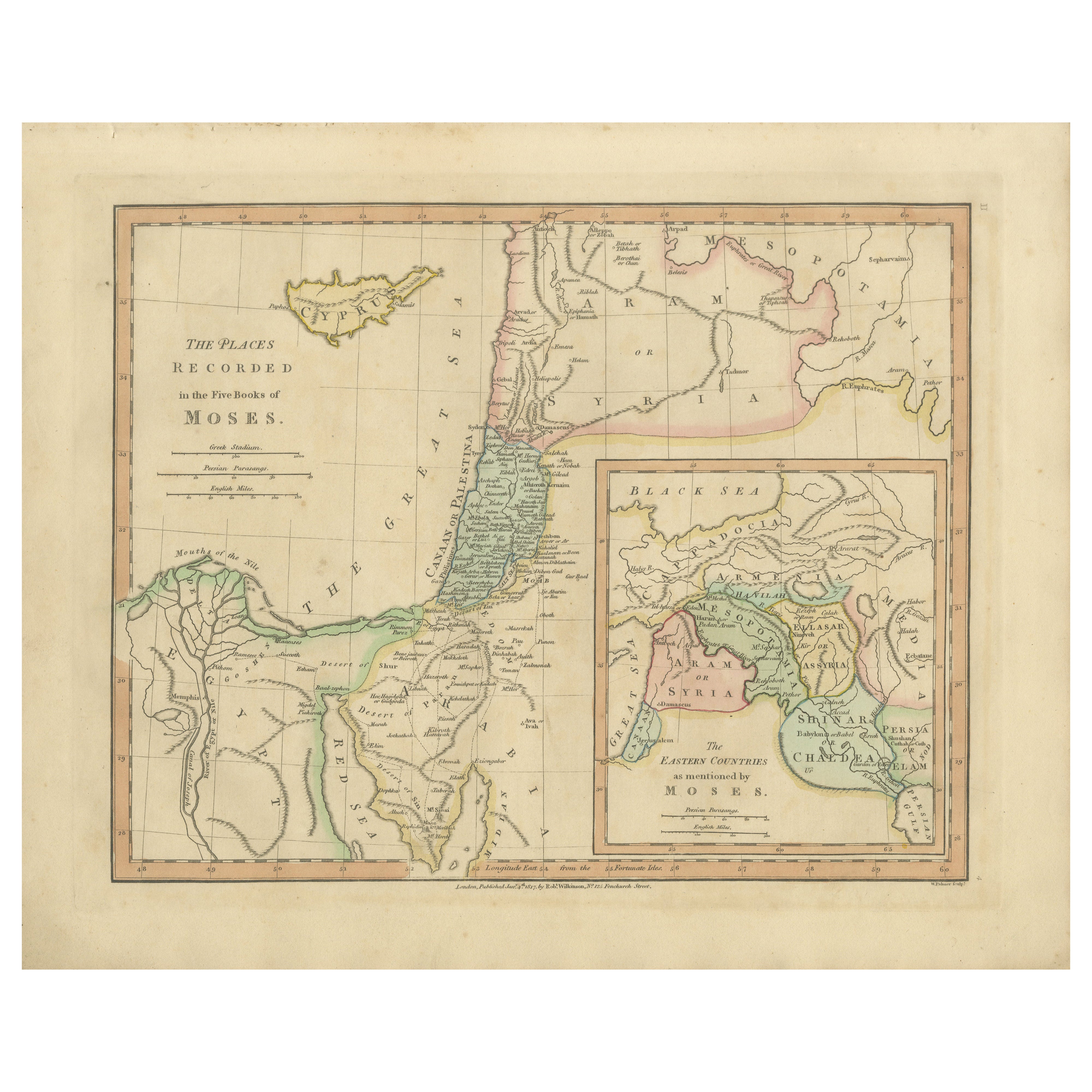
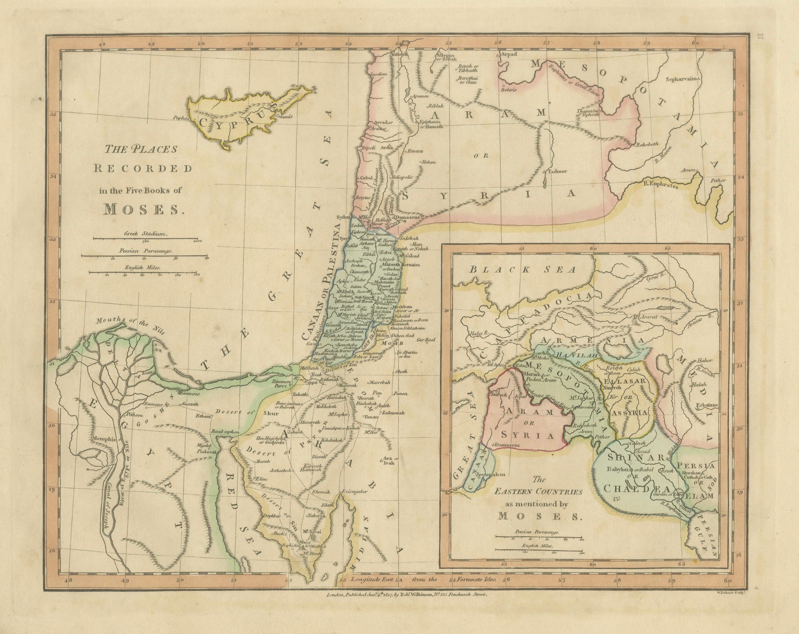
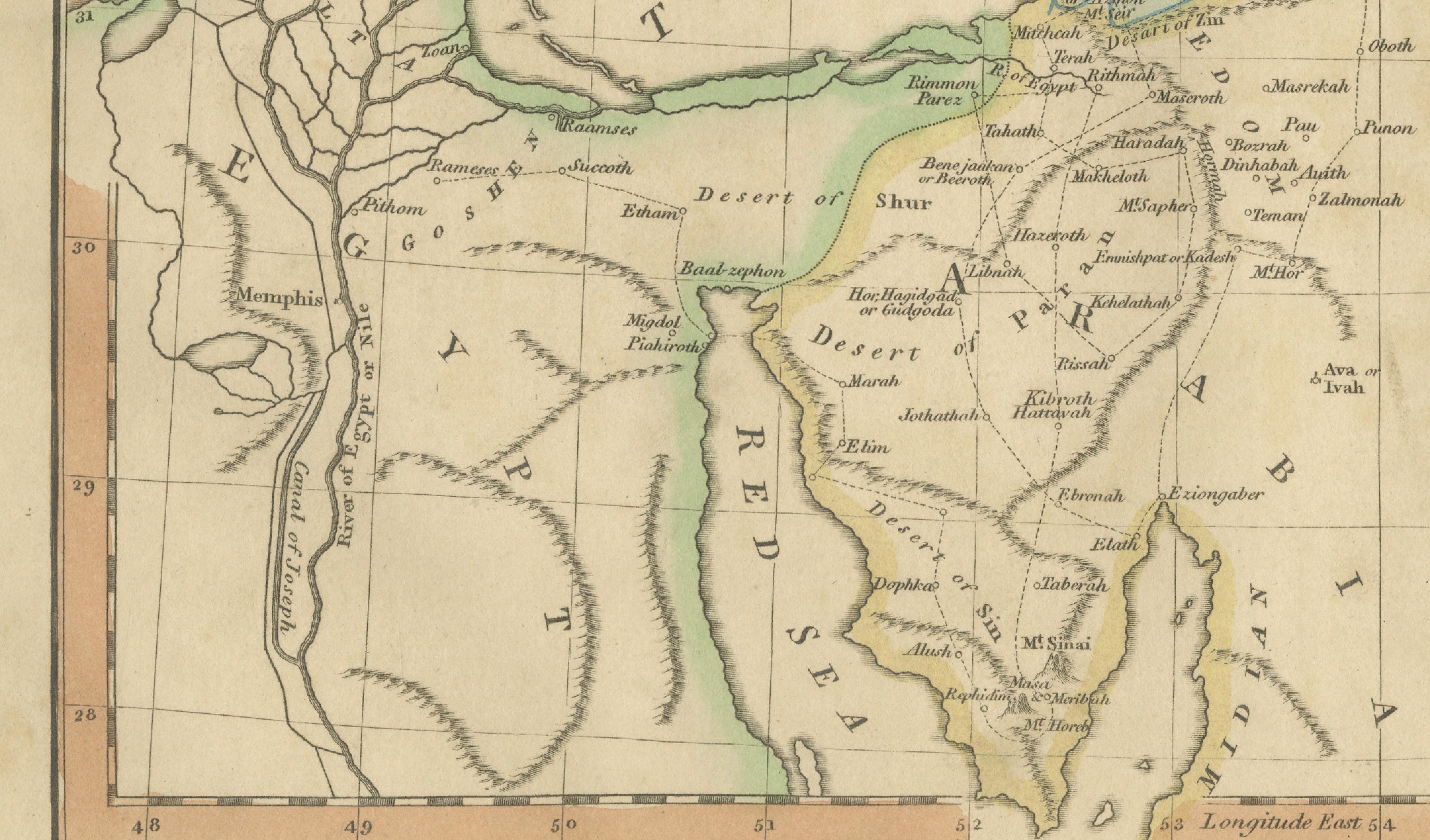
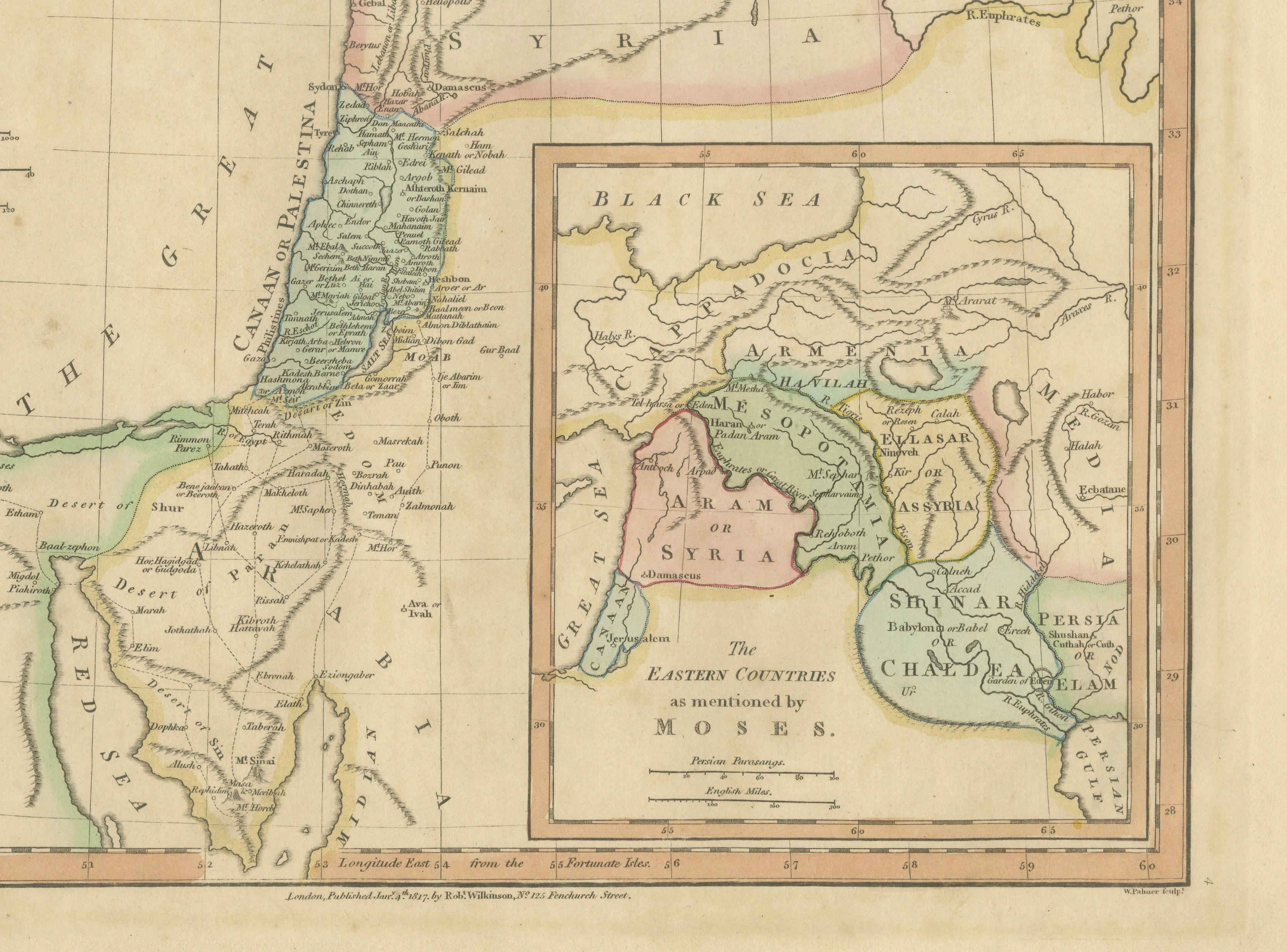
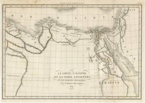
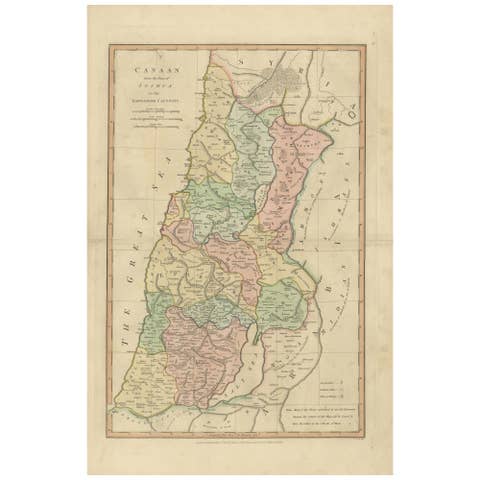
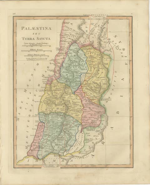
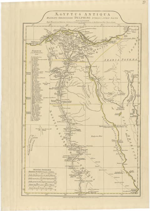
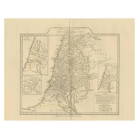
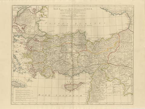
This finely engraved and beautifully hand-colored biblical map titled “The Places Recorded in the Five Books of Moses” was published in London in 1827 as part of Wilkinson’s Atlas Classica, a scholarly work devoted to sacred and classical geography. The map visually interprets locations described in the Pentateuch, presenting a geographic framework for understanding early biblical narratives through cartography.
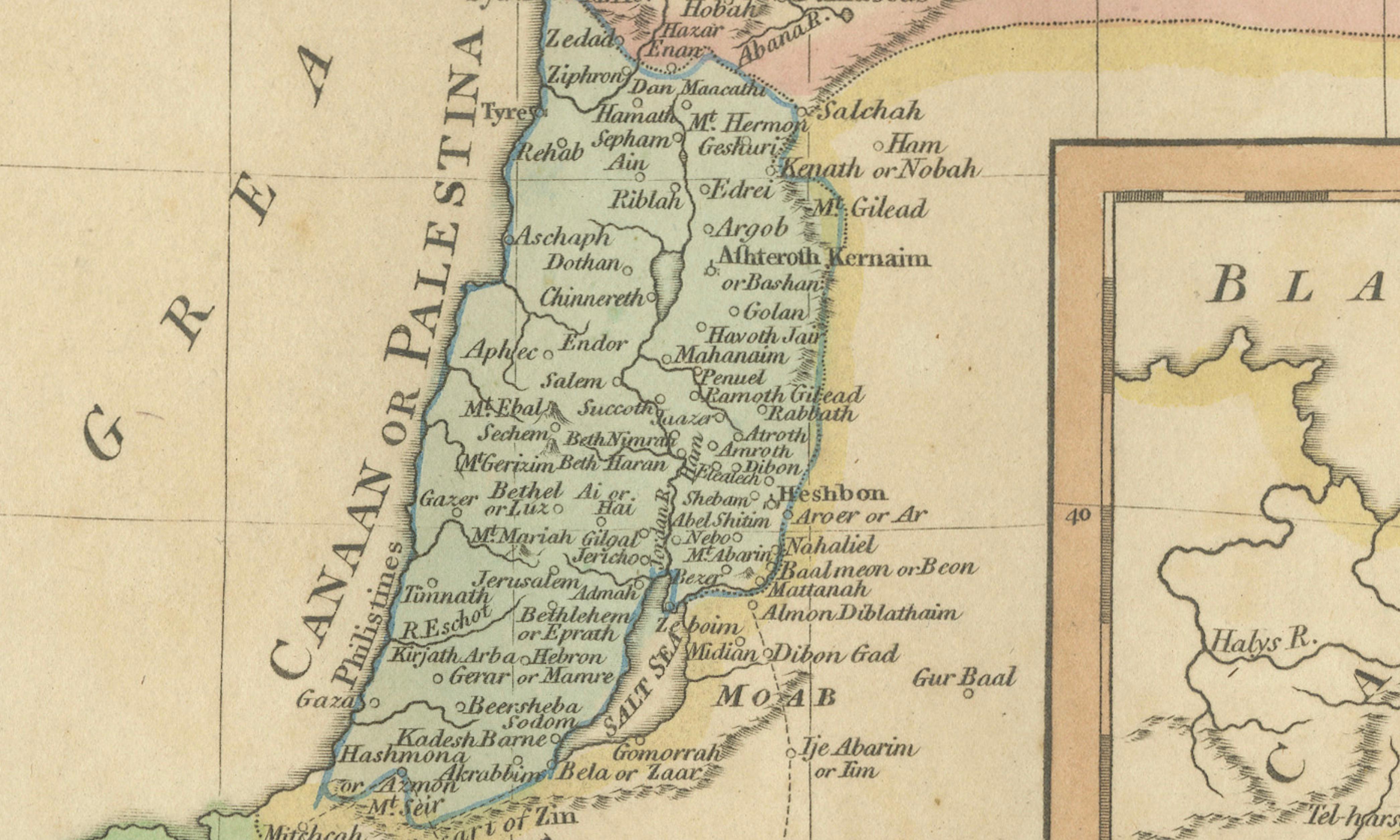
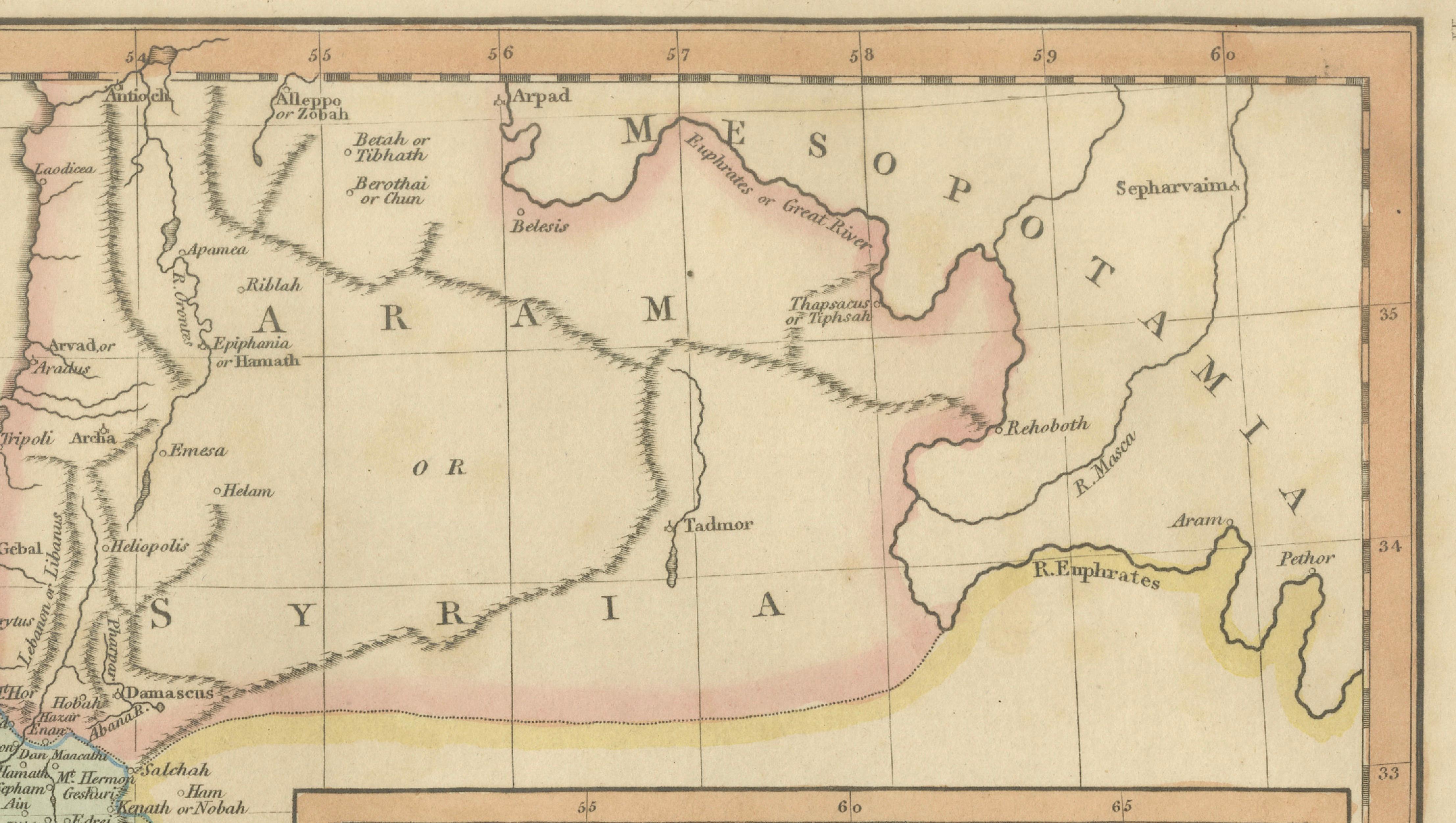
The main composition centers on the eastern Mediterranean region, extending from the Nile Delta and Egypt across the Sinai Peninsula into Palestine and Syria, illustrating the geographic context of the biblical Exodus and early Israelite history. Numerous scriptural locations are identified with remarkable density, offering an intricate visual reference to places mentioned in Genesis, Exodus, Leviticus, Numbers, and Deuteronomy. The map includes ancient trade routes, deserts, coastal settlements, and inland regions that played important roles in early biblical accounts.
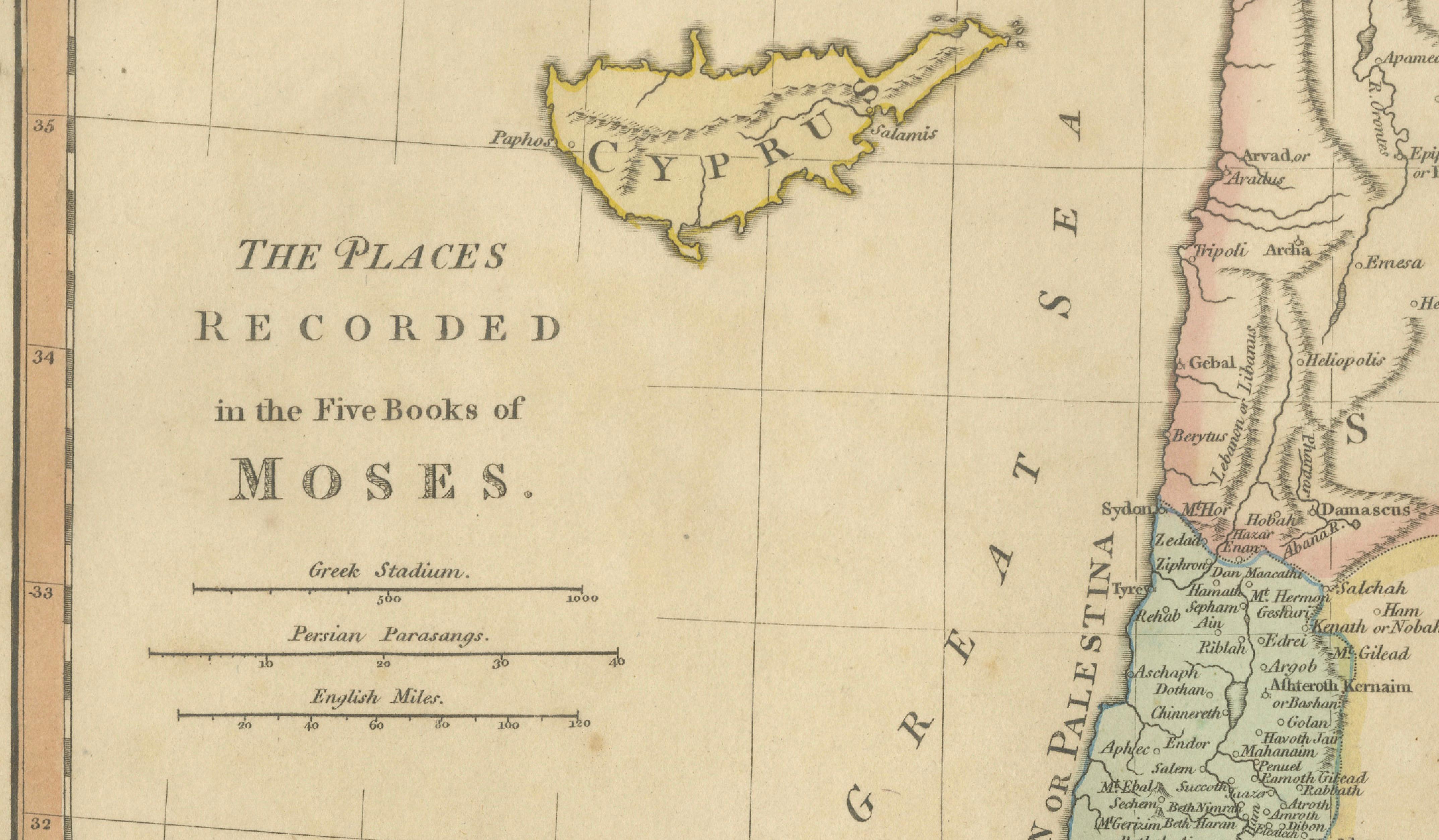
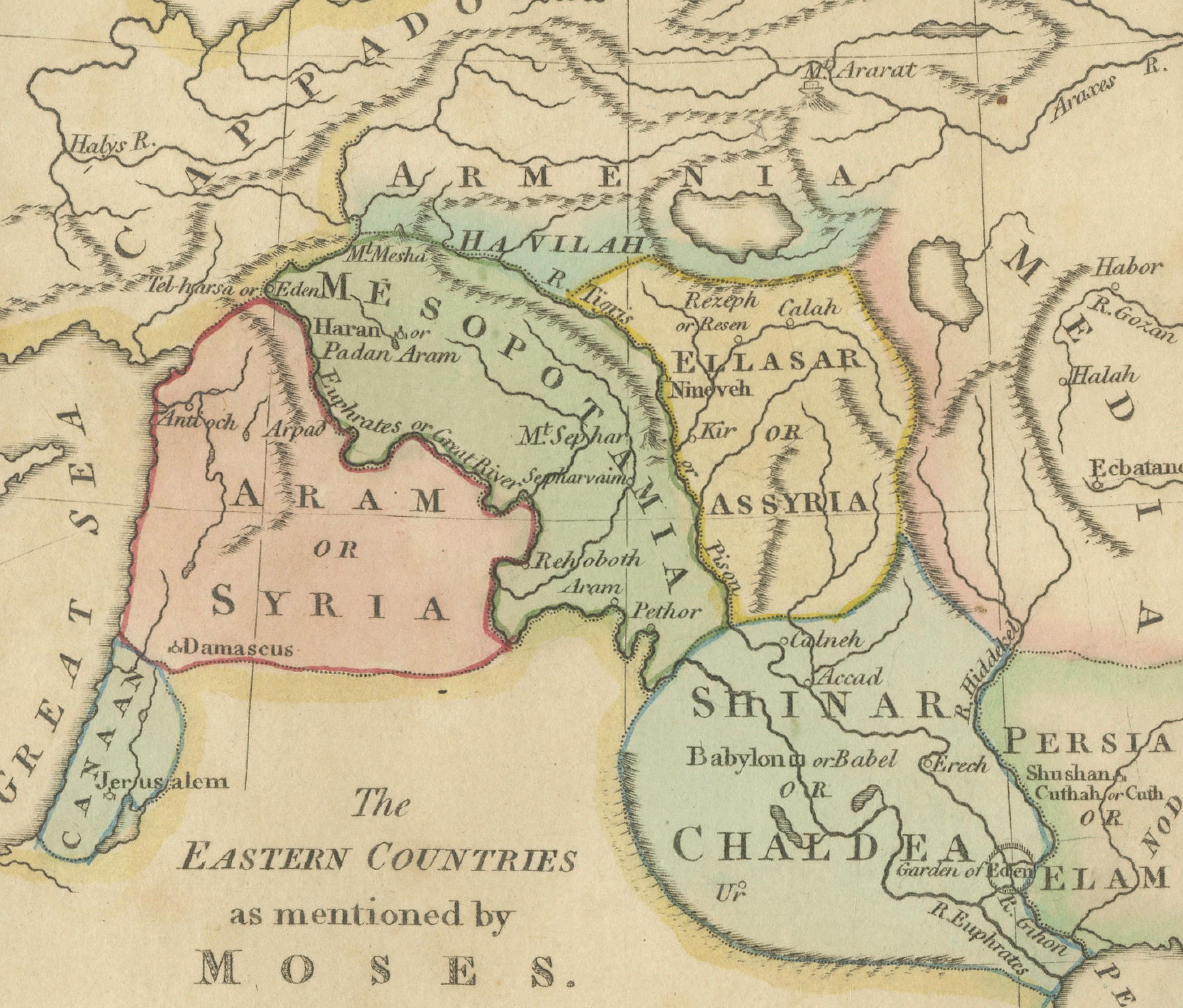
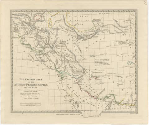
Inset maps add further depth, including a detailed view of the eastern countries associated with early biblical civilizations such as Assyria, Chaldea, and regions around Mesopotamia, as well as the island of Cyprus and additional geographic references linked to ancient narratives. These supplemental panels reflect the nineteenth-century scholarly desire to integrate classical history, biblical scholarship, and geographic science.
Executed in elegant copperplate engraving and enhanced with original hand coloring in soft pastel tones, the map exemplifies early nineteenth-century English atlas production. Delicate color boundaries distinguish historical territories while maintaining visual harmony and clarity. The restrained decorative style emphasizes readability and educational purpose, characteristic of Enlightenment-influenced sacred cartography.
Biblical maps of this type were widely used in educational and devotional contexts, helping readers visualize scriptural geography in relation to known landscapes. Today they remain highly sought after by collectors of Holy Land material, religious history enthusiasts, and interior designers seeking historically meaningful decorative works with intellectual depth.
The balanced horizontal format and refined coloring allow this map to function both as an academic object and as an elegant decorative piece. It displays particularly well in gallery walls featuring sacred or historical themes and pairs beautifully with other biblical atlas maps from the same series.
Condition report: Good overall condition for age. Light age toning, minor foxing, and marginal wear consistent with atlas removal. Original hand color remains attractive and well preserved.
Framing tips: A dark walnut or deep brown frame combined with a generous ivory mat enhances the pastel coloring and provides a refined museum-style presentation suitable for classic or contemporary interiors.
Technique: Copperplate engraving with original hand color
Maker: Wilkinson, London, 1827
Keyword block (important places and regions visible on the map):
Egypt, Nile Delta, Memphis, Sinai Peninsula, Red Sea, Gulf of Suez, Gulf of Aqaba, Desert of Shur, Wilderness of Paran, Wilderness of Zin, Mount Sinai, Horeb, Palestine, Holy Land, Canaan, Jerusalem, Bethlehem, Hebron, Gaza, Ashkelon, Ashdod, Joppa, Tyre, Sidon, Damascus, Galilee, Judea, Samaria, Jordan River, Dead Sea, Sea of Galilee, Gilead, Bashan, Moab, Edom, Ammon, Transjordan, Negev, Philistia, Mediterranean Sea, Cyprus, Syria, Mesopotamia, Assyria, Chaldea, Shinar, Babylon, Nineveh, Euphrates River, Tigris River, Aram, Armenia, Cappadocia, Anatolia, Black Sea, Caucasus, Arabian Desert, Midian, Kadesh-Barnea, Zoar, Sodom, Gomorrah, Jericho, Bethel, Shiloh, Shechem, Megiddo, Gilgal, Gibeon, Ramah, Mizpah, Beersheba, En-gedi, Arad, Timnah, Lachish, Emmaus, Bethany, Mount Carmel, Mount Hermon, Mount Tabor, Nazareth, Galilean Hills, Judean Hills.