About this sheet
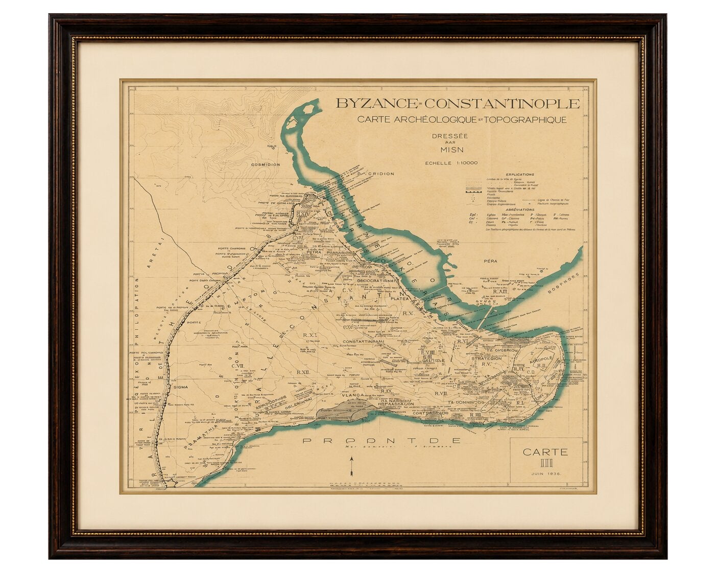
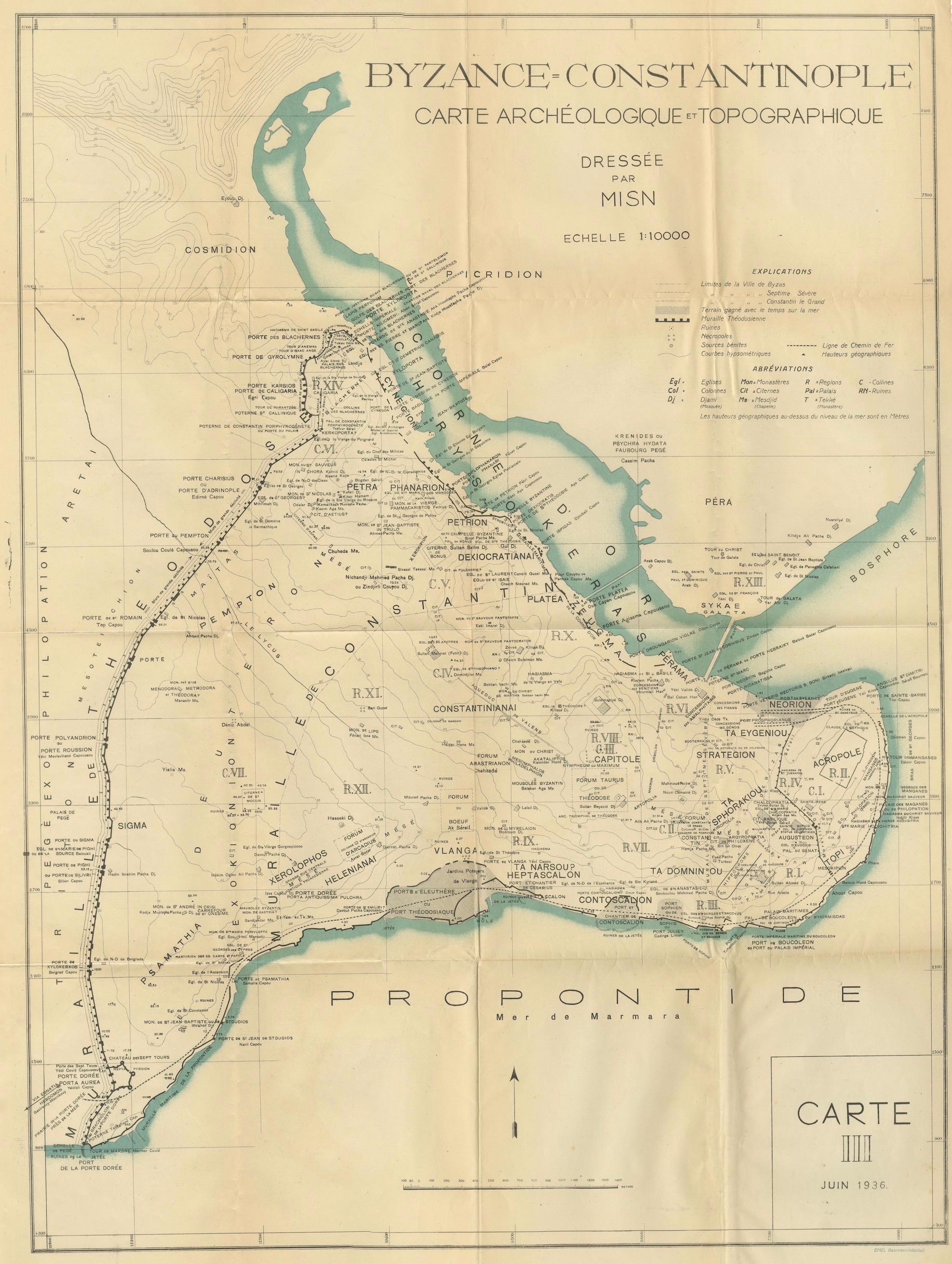
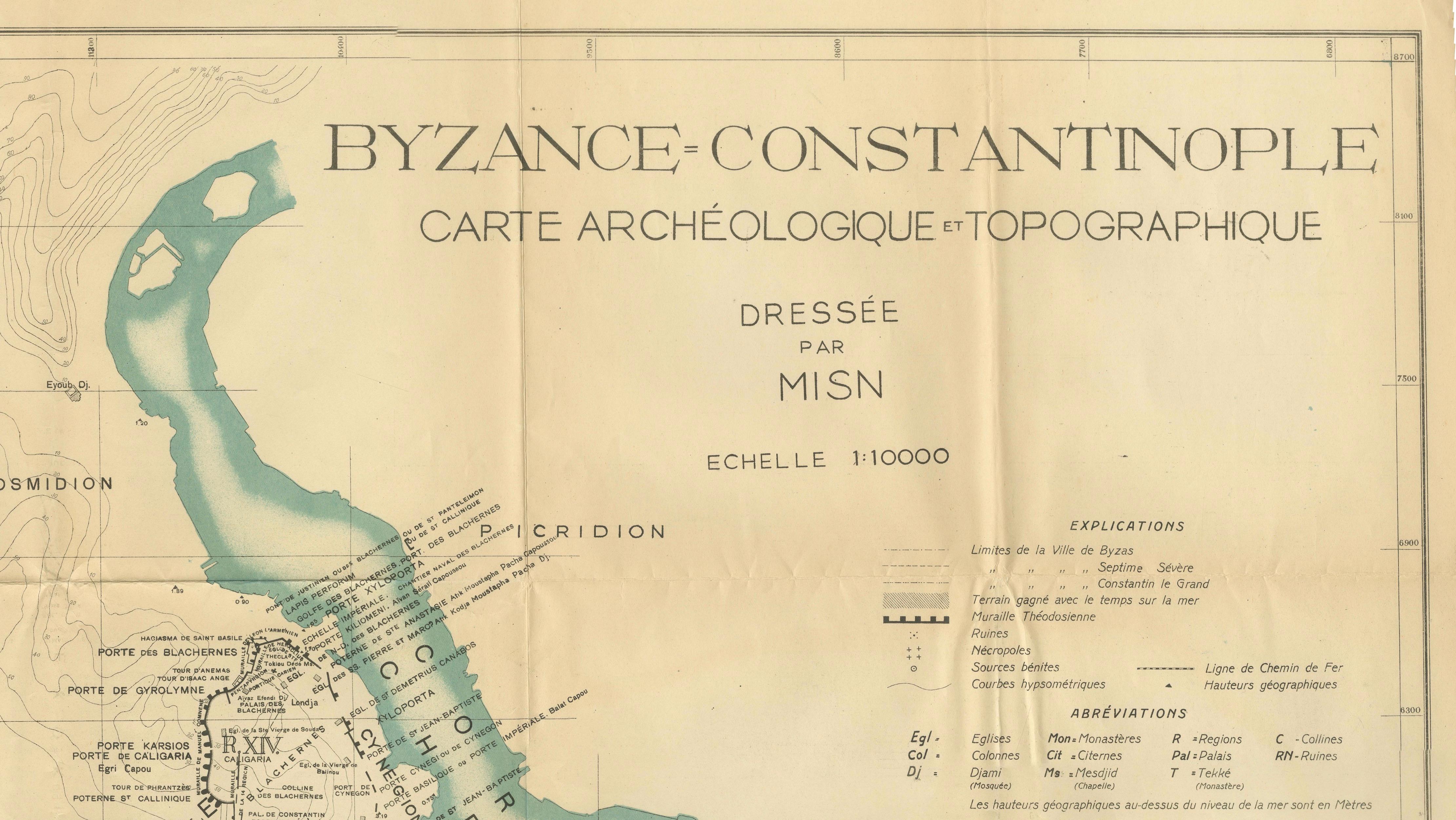
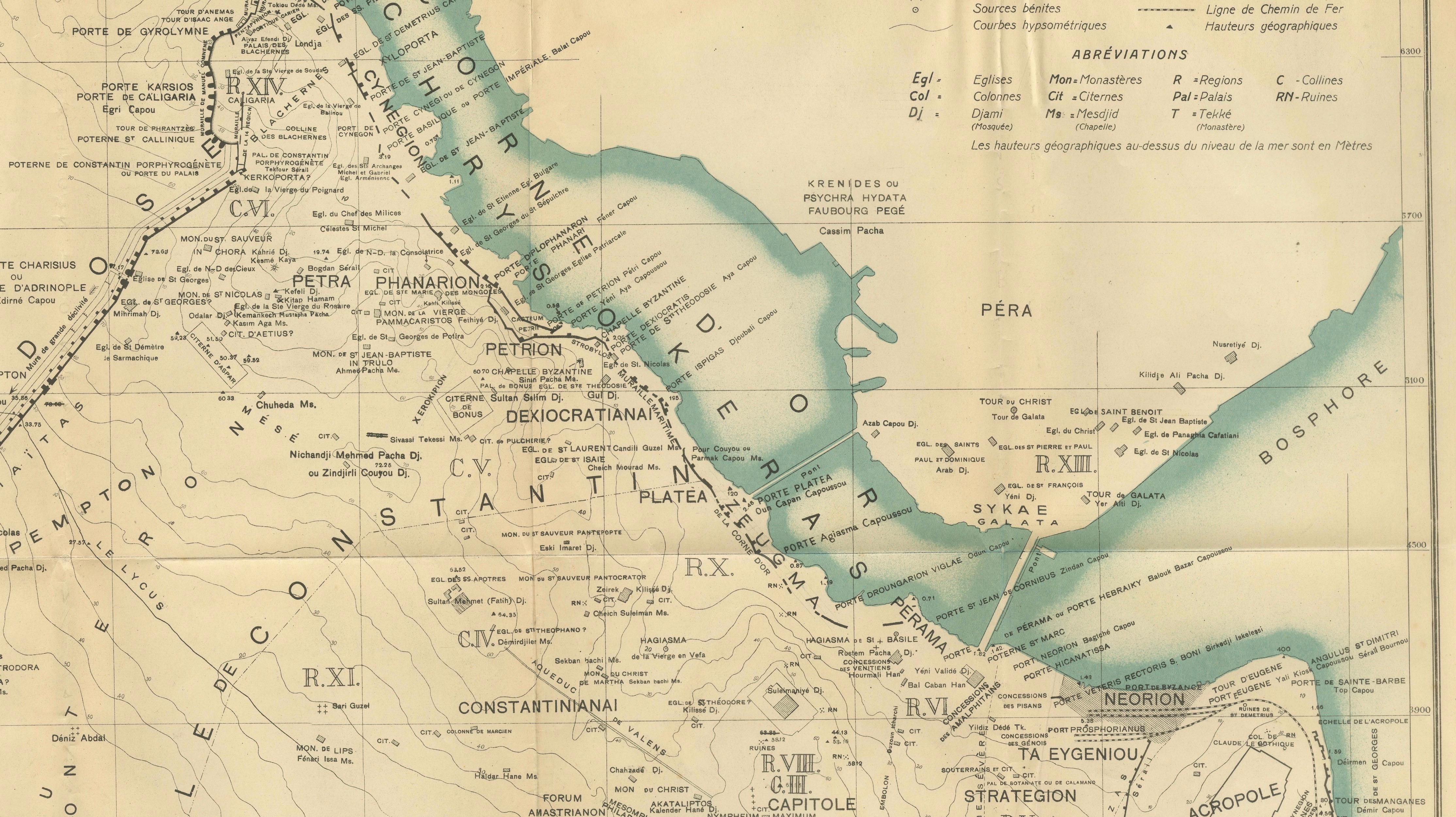
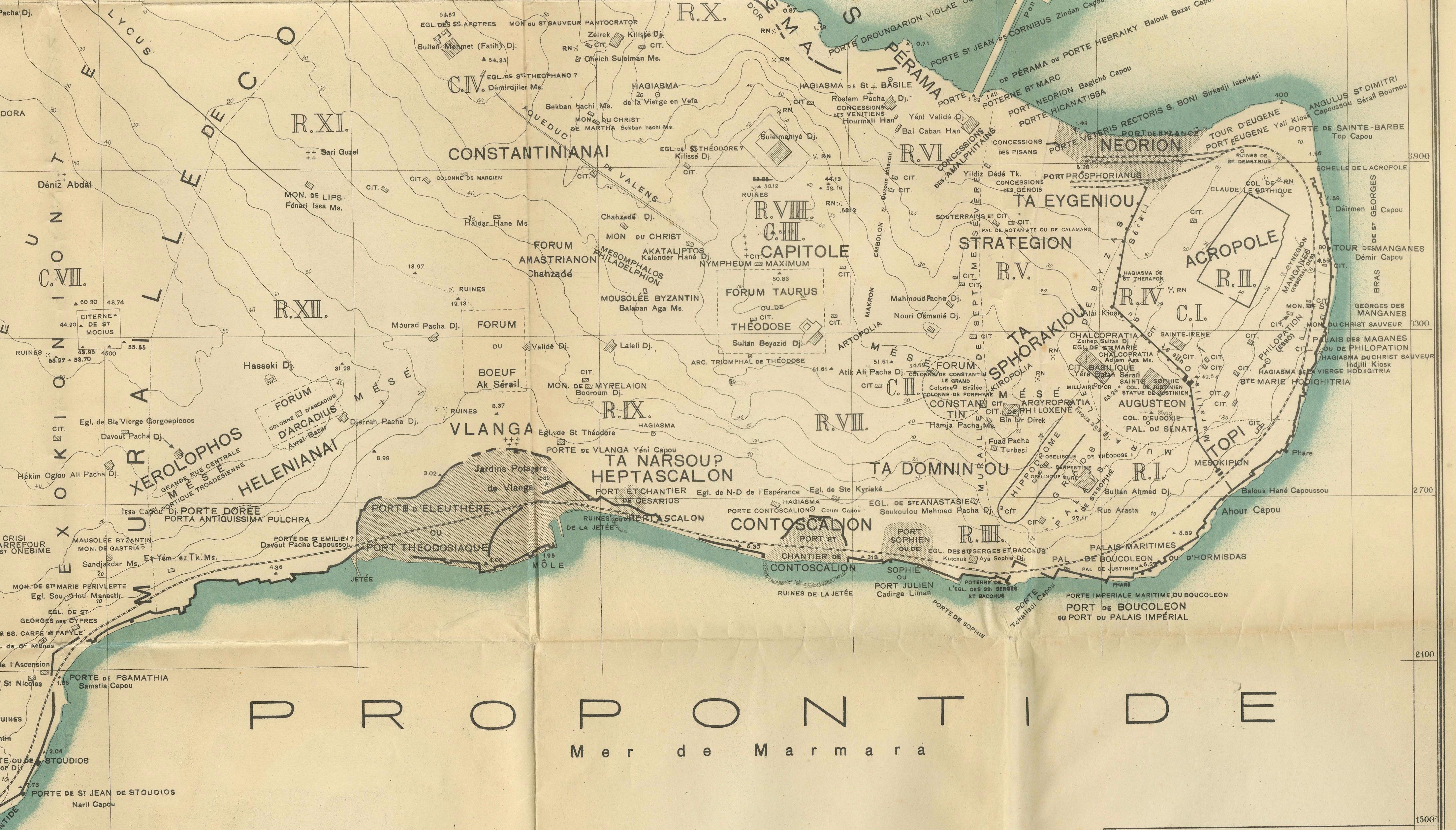
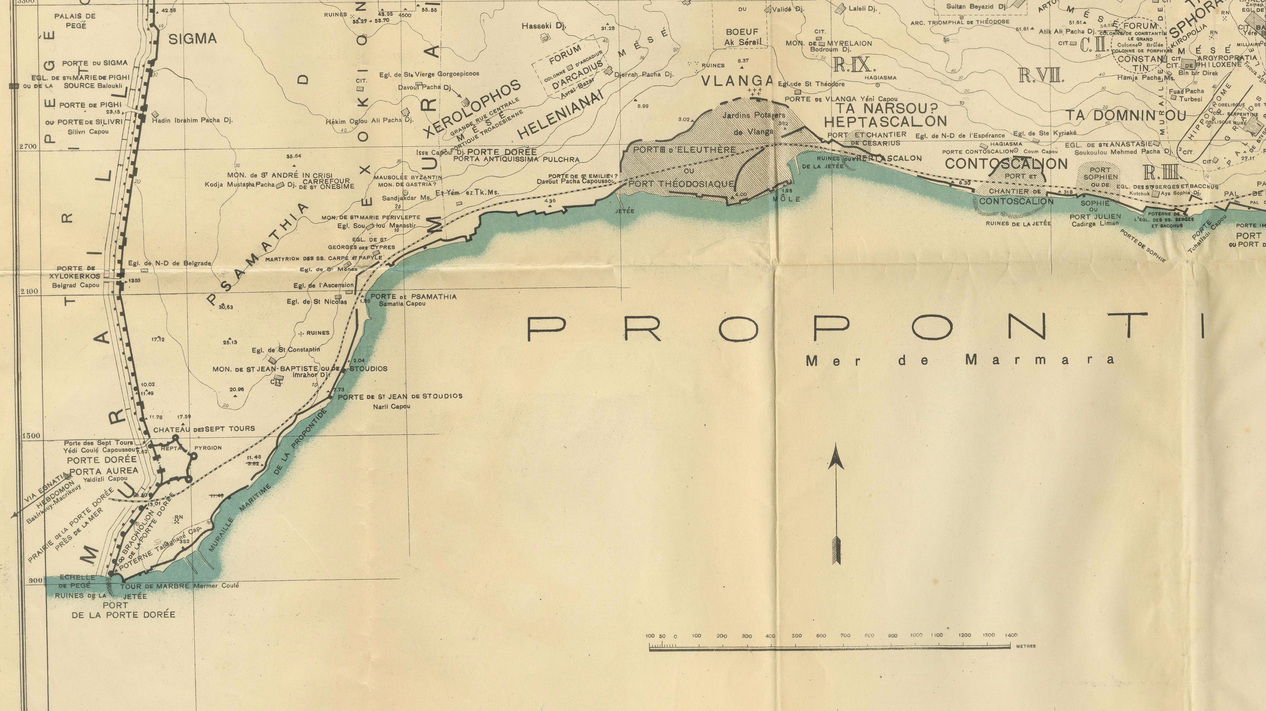
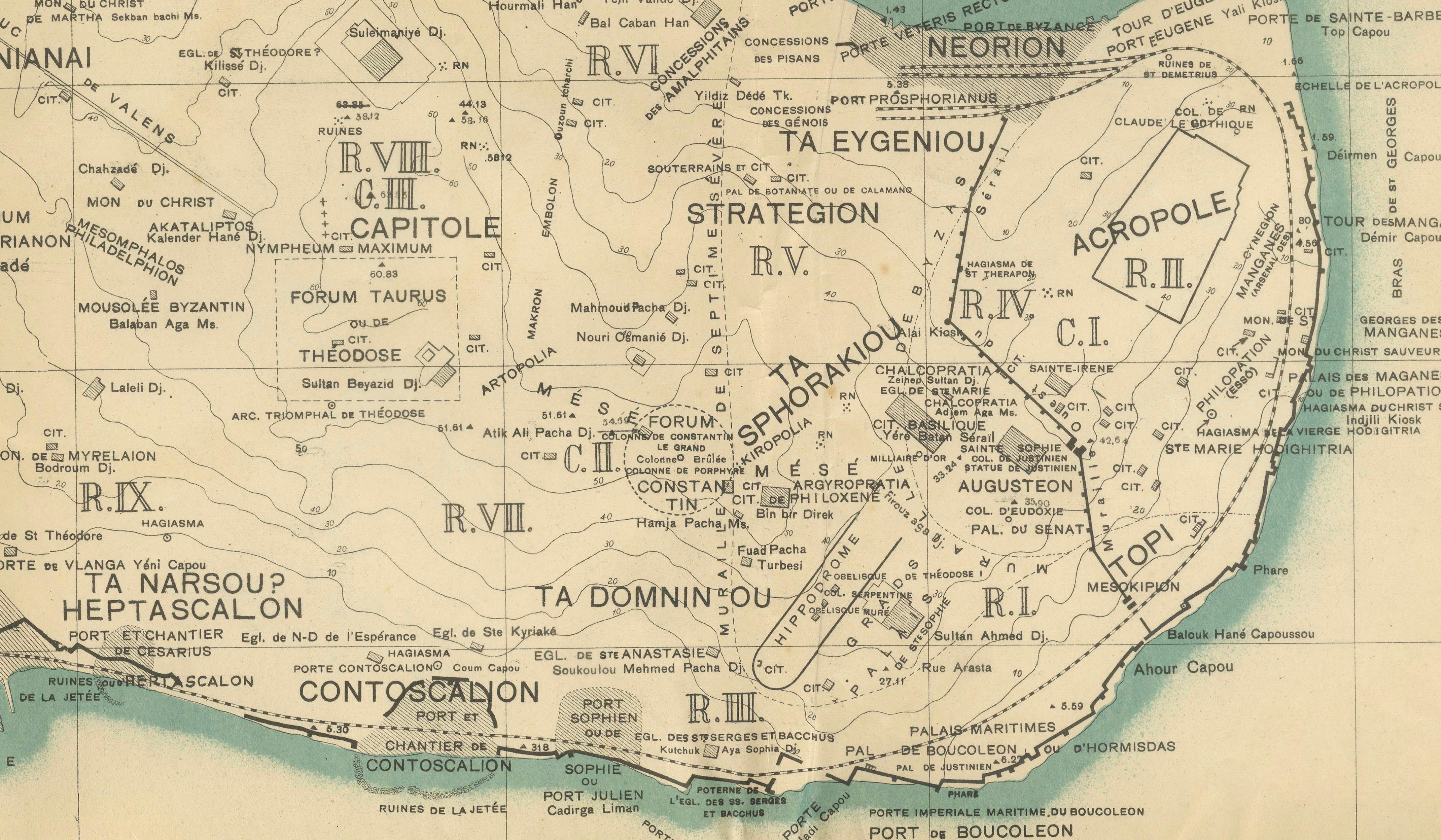
A rare and visually compelling archaeological and topographical map of Byzantine Constantinople, prepared by MISN and published in Istanbul in 1938 as part of the renowned *Études Byzantines* series. The map presents a scholarly reconstruction of medieval Constantinople at a scale of 1:10,000, meticulously identifying ancient districts, churches, palaces, forums, gates, harbors, fortifications, and major monuments of the Byzantine capital.
Rendered with elegant typography and delicate blue coloring for the waterways, the map traces the Golden Horn, the Bosphorus, and the Sea of Marmara while preserving the administrative divisions and urban fabric of one of history's greatest cities. It provides an extraordinary visual record of Constantinople as understood by early twentieth-century Byzantine scholarship.
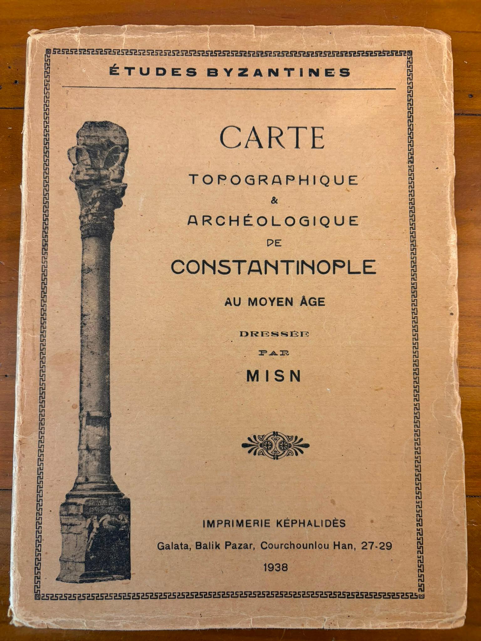
Accompanying the map is its original printed wrapper, titled *Carte Topographique & Archéologique de Constantinople au Moyen Âge*, issued by Imprimerie Képhalidès in Galata in 1938. The cover illustration of a Byzantine column and the refined graphic design make the wrapper an important part of the publication's historical and aesthetic appeal.
Produced in Istanbul during a period of intense archaeological interest and urban transformation, this work occupies a unique position between academic scholarship and decorative cartography. It remains highly desirable among collectors of Byzantine material, Istanbul history, and rare maps of the Eastern Mediterranean.
Sold unframed. Framed images are for inspiration only. Visuals may not always be exactly to scale.
Origin: Istanbul (Constantinople), Turkey
Date: 1938
Maker: MISN
Publisher: Imprimerie Képhalidès, Galata
Series: Études Byzantines
Medium: Folding printed map on paper with original printed paper wrapper
Scale: 1:10,000
Condition:
Map folded as issued with light age toning, minor creasing, and small signs of handling. The original wrapper shows wear at the extremities, creases, and small losses consistent with age and use. Overall a remarkably well-preserved and attractive example of this scarce publication.
Keywords:
Byzantium, Constantinople, Istanbul, Byzantine Empire, archaeological map, topographical map, MISN, Études Byzantines, Galata, Golden Horn, Bosphorus, Sea of Marmara, medieval city plan, Byzantine archaeology, Ottoman history, rare map, historical cartography, original wrapper, decorative map, 1938, Istanbul collector, Near Eastern studies, antique map, scholarly publication.