maps-prints.com
✦
Black Friday Sale
Friday 20 to Monday 30 November: up to 30% off original antique maps and prints
The terms
- Up to 30% off selected original antique maps and prints. Every piece is an original, printed in its own time; none is a reproduction.
- The sale runs from Friday 20 November to Monday 30 November. Sale prices shown here apply from Friday 20 November; until then pieces are sold at their regular price.
- Free FedEx shipping on qualifying orders placed on our own websites: USA, Canada, UK and Europe over $500 / €450; rest of the world over $750 / €675. Smaller orders pay our normal shipping rate.
- Orders placed from 15 to 30 November ship from 1 December, in time for Christmas. Our shipping partner is InXpress.
- Each piece is unique, so the sale is while stock lasts.
Collection:AllAmericanSea chartsMilitaryNatural historyFashionArchitectureBotanicalSacredEast Indies
Sale prices apply from Friday 20 November. Save the pieces you like with the heart and come back on Friday.
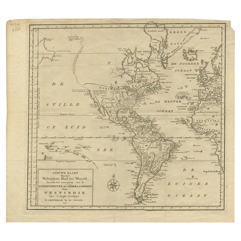 Excellent Antique Map of America with Unusual Northwest Coast of America, c.1754
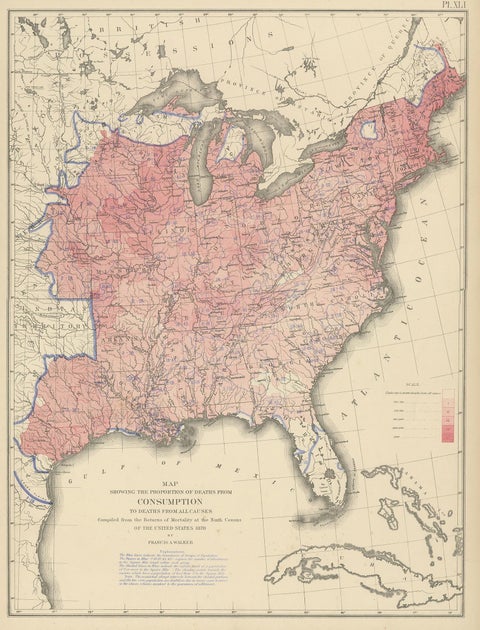 Antique Chart of the US Consumption Deaths, '1874'
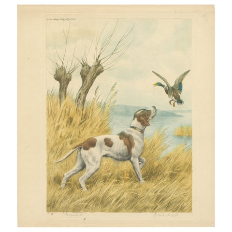 Vintage Hunting Dog Lithograph “Pointer & Mallard” by Paul Wood – New York, 1930
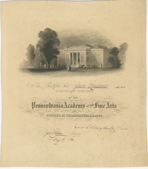 Pennsylvania Academy of the Fine Arts Honorary Membership Certificate, 1882
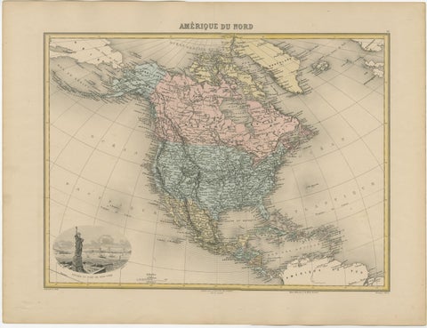 Antique Map of North America with Vignette of the Statue of Liberty, New York
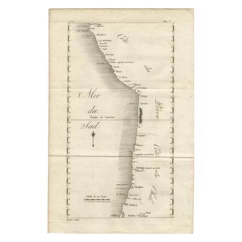 Antique Map of the Coast of Peru and Chile – Detailing Ports & Coastlines, c1760
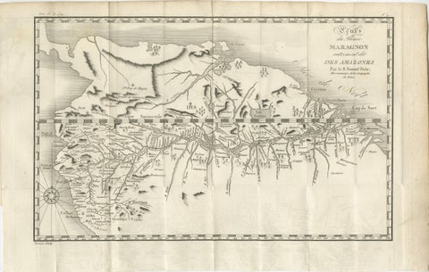 Antique Map of the Amazon River – Maragnon or River of the Amazons, c.1760
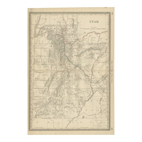 Rare 1888 Utah Map – The Beehive State’s Railroads, Counties & Great Salt Lake
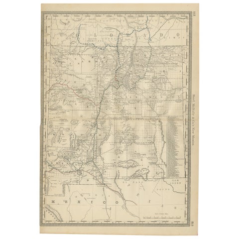 1888 New Mexico Map – Railroads, Counties & The Land of Enchantment
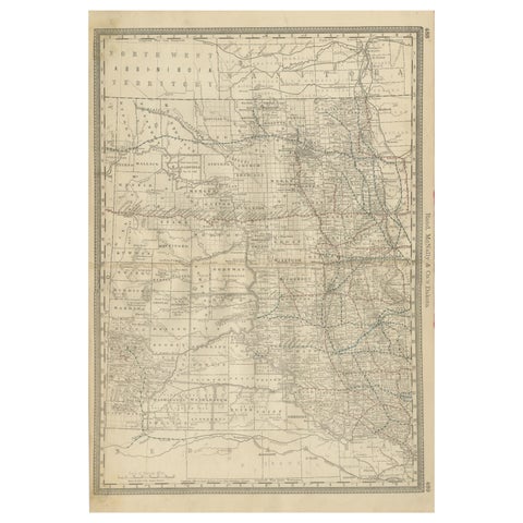 Dakota Territory Railroad Map 1888 – Rand McNally Antique Lithograph
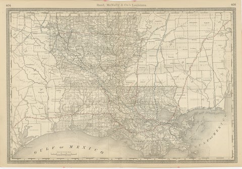 Louisiana Antique Map 1888 – The Pelican State, Railroads & Counties
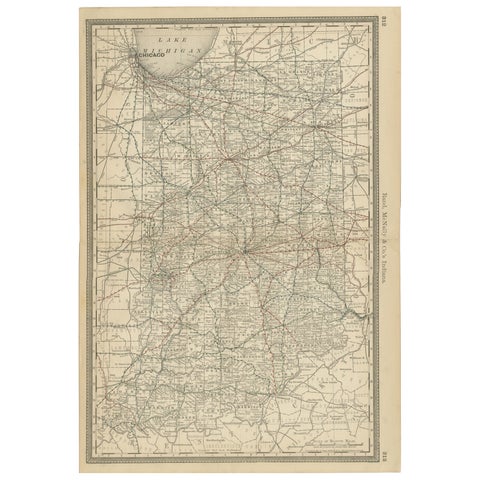 Antique Map of Indiana – The Hoosier State with Railroads & Counties, 1888
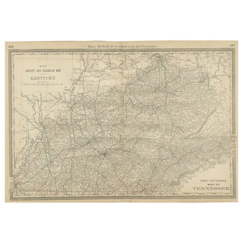 Antique Map of Kentucky & Tennessee – The Bluegrass & Volunteer States, 1888
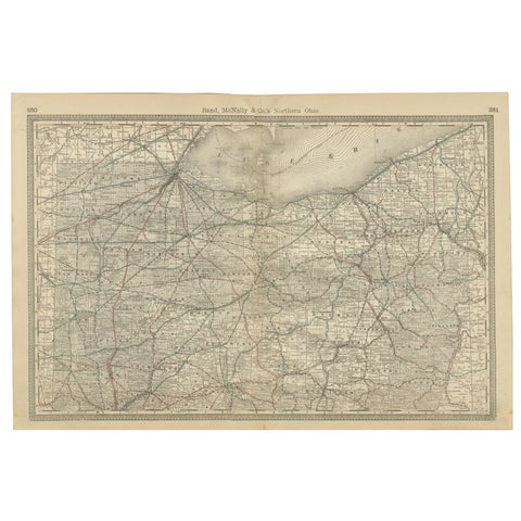 Antique Map of Northern Ohio – The Buckeye State with Railroads & Counties, 1888
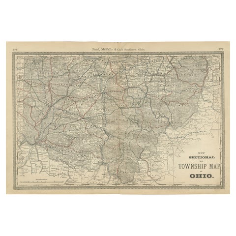 Antique Map of Southern Ohio – The Buckeye State - Railroads & Townships, 1888
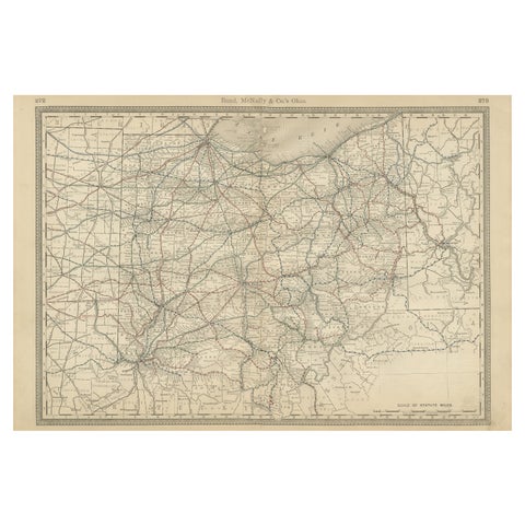 Antique Ohio Map c.1888 – Buckeye State Railroads, Towns & Settlements
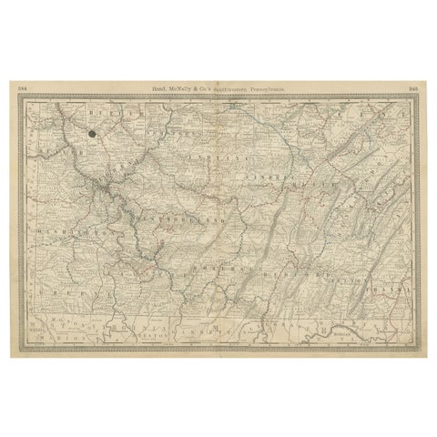 Southwestern Pennsylvania Antique Map c.1888 – Keystone State Counties & Cities
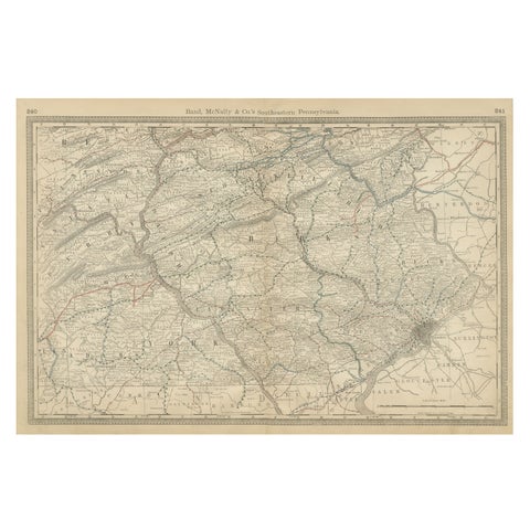 Pennsylvania 1888 Antique Map – The Keystone State, Southeastern Railroads
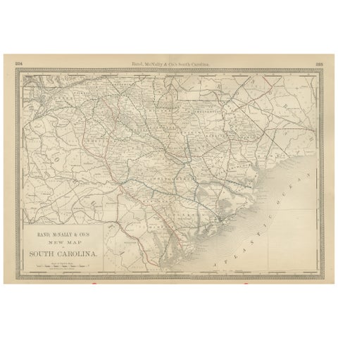 South Carolina Antique Map c.1888 – The Palmetto State, Railroads & Counties
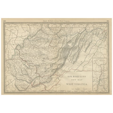 West Virginia Antique Railroad Map c.1888 – Mountain State Counties & Towns
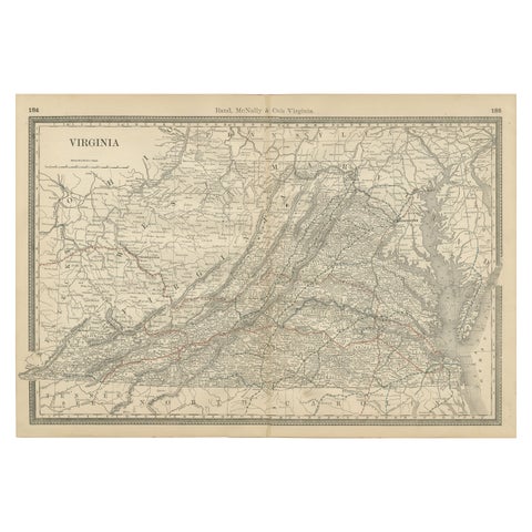 Antique Virginia Map c.1888 – Railroads, Towns & The Old Dominion
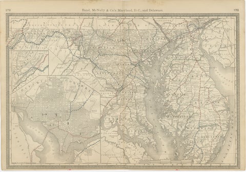 Maryland, D.C. & Delaware Antique Map – Old Line State Railroads, c.1888
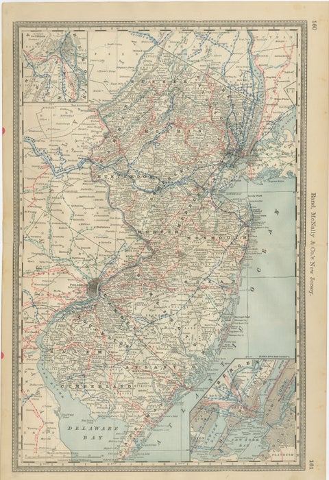 New Jersey Antique Map – The Garden State, Railroads & Counties, c.1888
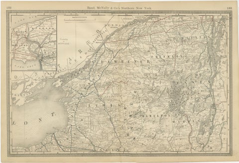 Antique Map of Northern New York – Rand McNally, circa 1888
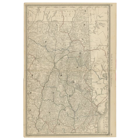 New Hampshire Antique Railroad Map c.1888 – Granite State Counties & Cities
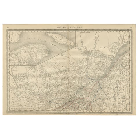 Quebec Antique Railroad Map c.1888 – La Belle Province, Cities & Towns
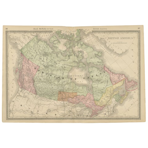 Canada Antique Railroad Map c.1888 – British America, Cities & Regions
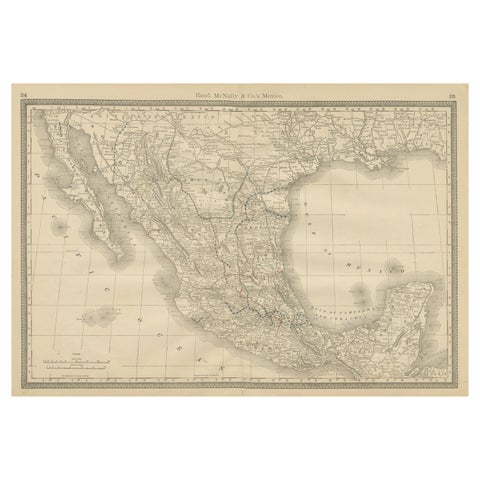 Mexico Antique Railroad Map c.1888 – Cities, States & Land of the Aztecs
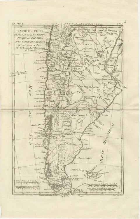 Chile from Peru to Cape Horn – Enlightenment Map by Rigobert Bonne, c.1780
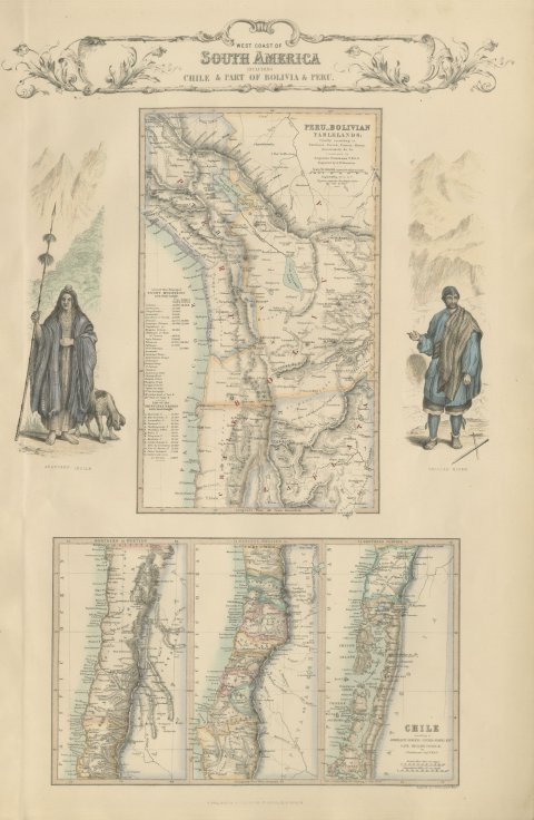 Antique Map of the West Coast of South America with Costume Figures, circa 1860
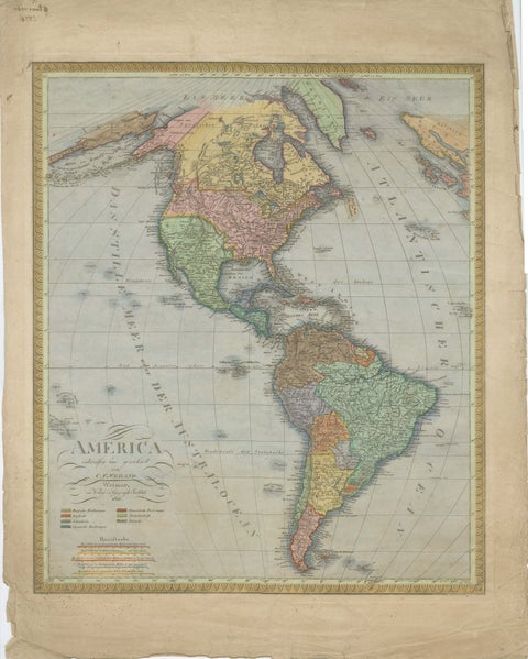 Large Antique Map of North & South America by Weiland, 1826
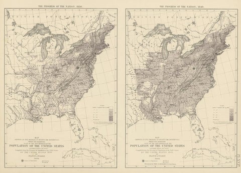 Pl. 16A Antique Chart of the US Population 1830-1840 by Walker, 1874
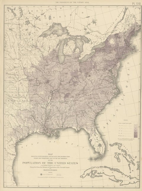 Pl. 17 Antique Chart of the US Population 1850 by Walker, 1874
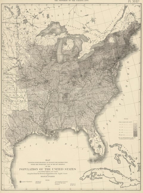 Pl. 17A Antique Chart of the US Population 1860 by Walker, '1874'
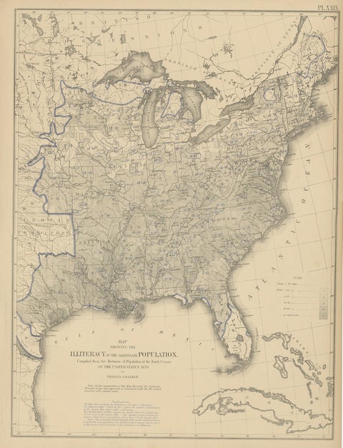 Pl. 29 Antique Chart of the US Illiteracy in 1870, '1874'
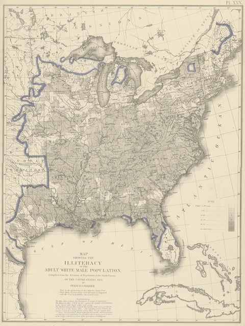 Antique Chart of the US Adult Male Illiteracy in 1870, '1874'
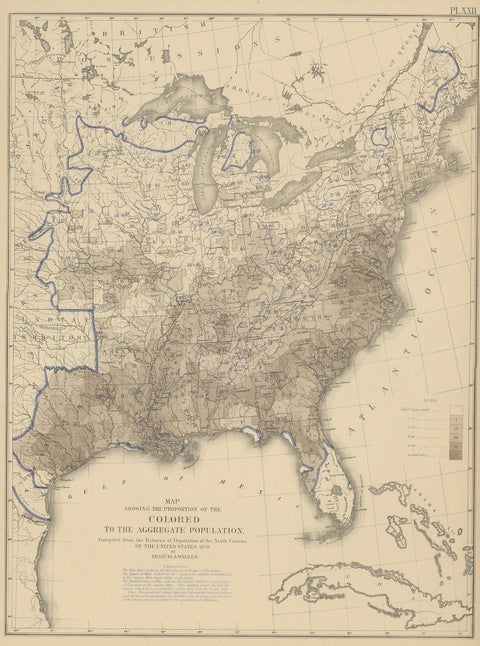 Pl. 22 Antique Chart of the US Colored Population Proportion in 1870, '1874'
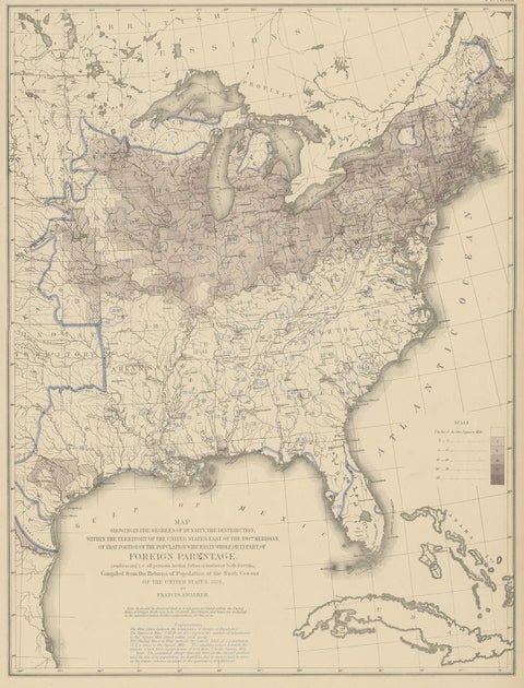 Pl. 23 Antique Chart of the US Foreign Parentage in 1870, '1874'
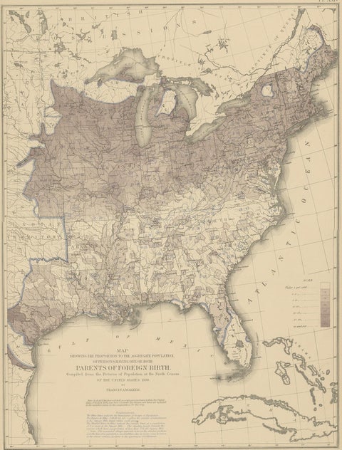 Antique Chart of the US Foreign Parentage Proportion in 1870, '1874'
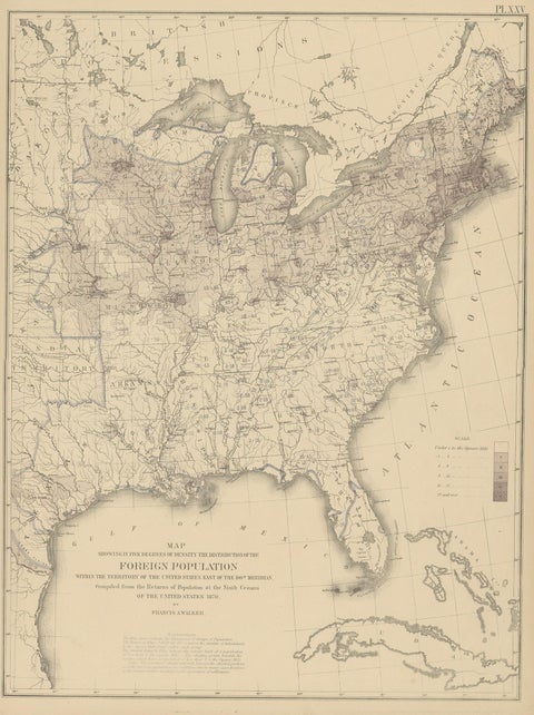 Pl. 25 Antique Chart of the US Foreign Population in 1870, '1874'
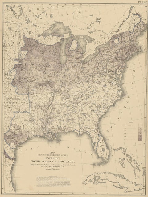 Pl. 26 Antique Chart of the US Foreign Population Proportion in 1870, '1874'
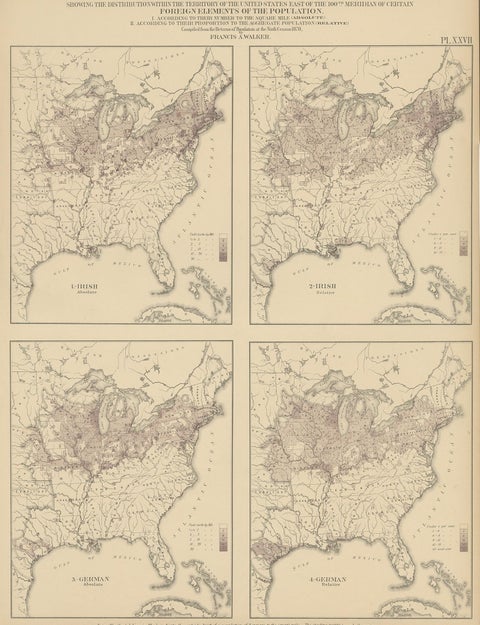 Antique Chart of the US Irish and German Population in 1870, '1874'
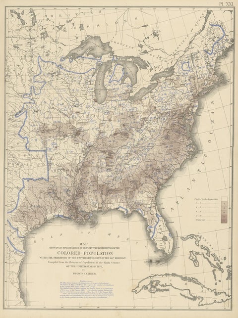 Pl. 21 Antique Chart of the US Colored Population Density in 1870, '1874'
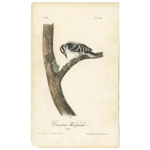 Antique Bird Print of the Canadian Woodpecker by Audubon, c.1840
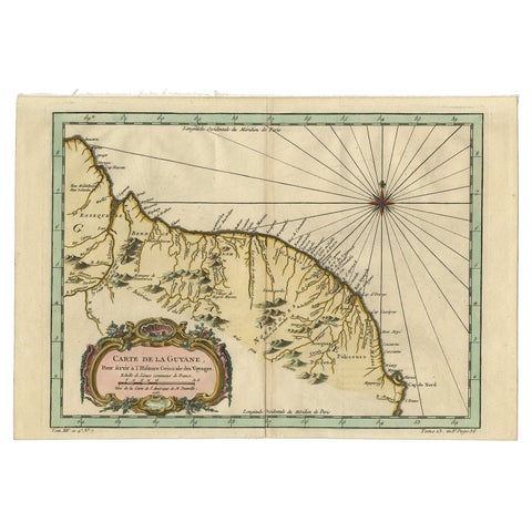 Old Map of Guyana, Suriname and French Guiana with Paramaribo and Cayenne, c1760
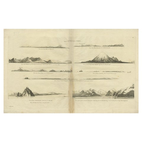 Antique Map of the West Coast of America with Island Views, ca.1784
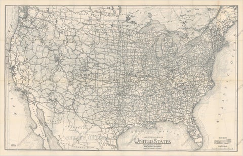 Old Map of the American Railroad Network and All Weather Roads on Verso, 1931
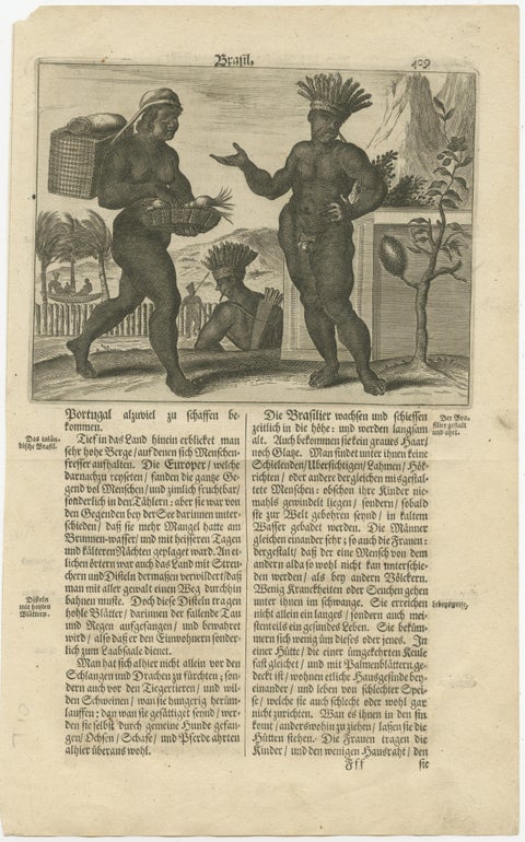 Daily Life in Brazil in the early 17th Century on a Copper Engraving by Montanus
Sharing the sale? Download the Black Friday banners.