Excellent Antique Map of America with Unusual Northwest Coast of America, c.1754
€ 575
Original antique · The actual sheet photographed · Certificate of authenticity on request · Sold unframed · Worldwide shipping from € 15 (rates)
Date
1754
Technique
Engraved
Sheet size
35.5 × 40 cm (14.0 × 15.7 in)
Condition
Good
Reference
PCT-57950
What the condition grades mean
Excellent
Bright and clean, with no faults worth mentioning.
Very good
Only light signs of age, such as faint toning.
Good
Normal signs of age for a sheet of this period: toning, some foxing, small marks or neat old repairs.
Fair
Clear faults such as staining, tears or repairs, priced to match.
Every fault we see is written in the condition note, and the whole sheet is shown uncropped in the photos.
Condition
Good, given age. A few light creases. Top edge with small tear only 0,5 cm extending into image; backed. Original folds as issued. General age-related toning and/or occasional minor defects from handling. Blank verso. Please review the images for further condition details.
About this sheet
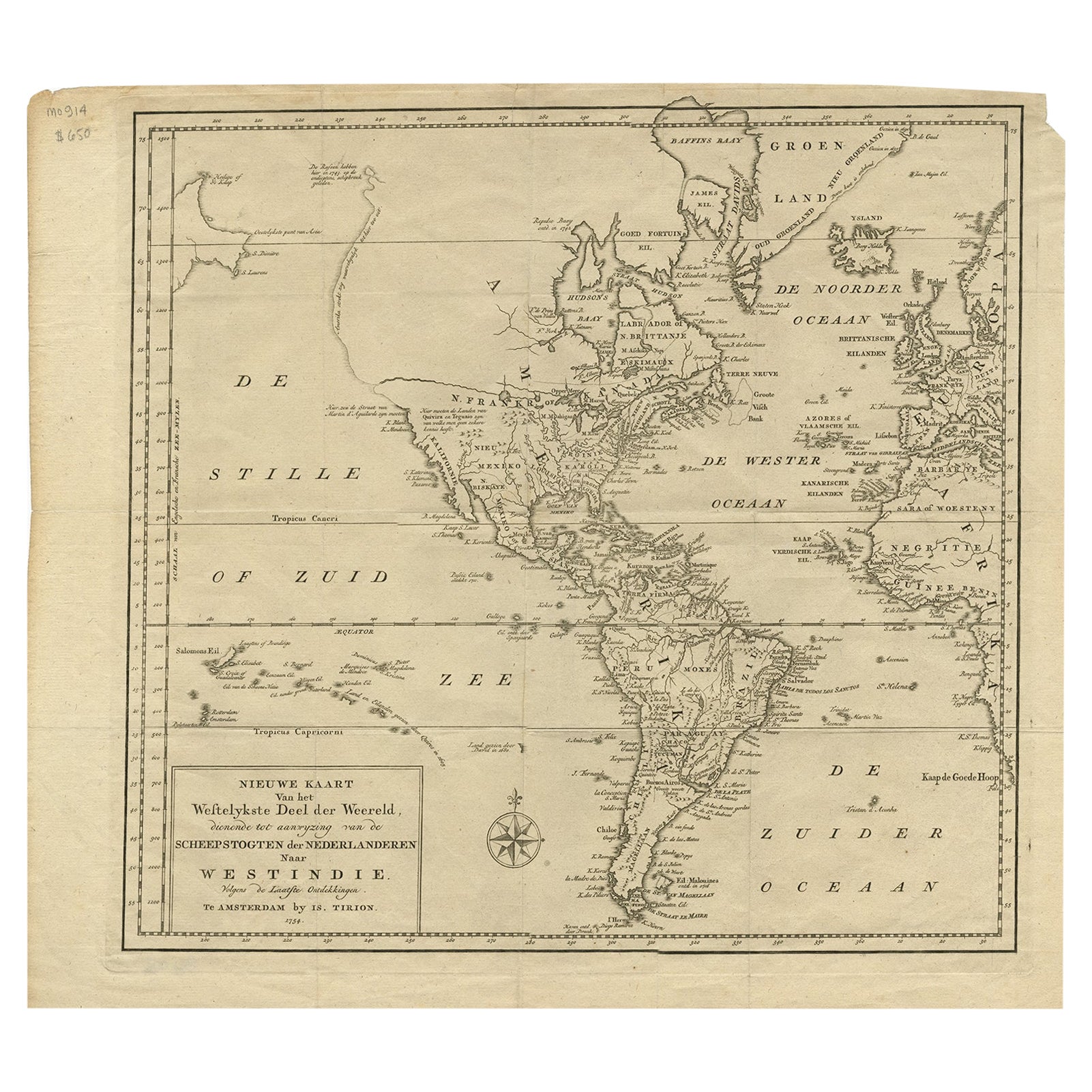
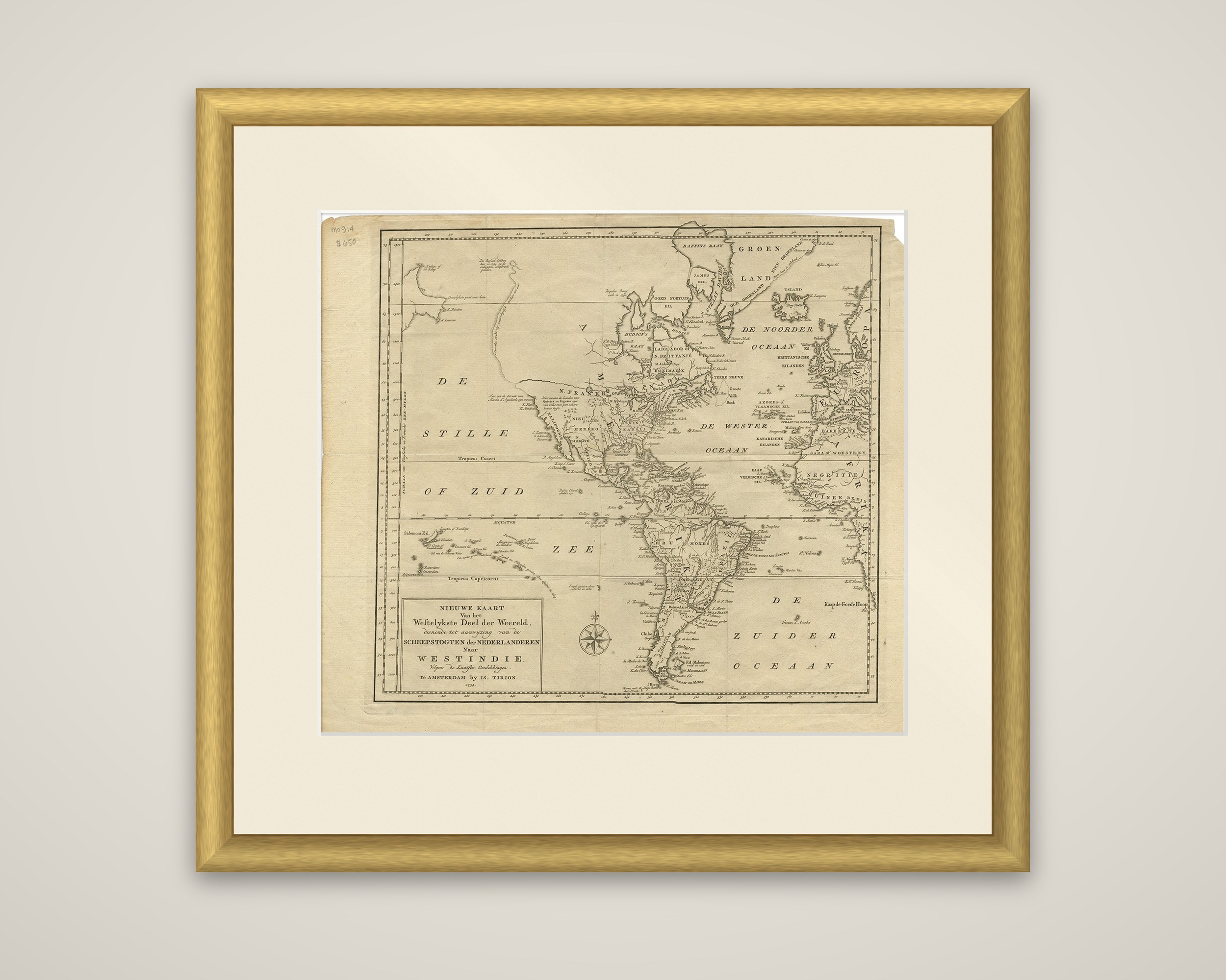
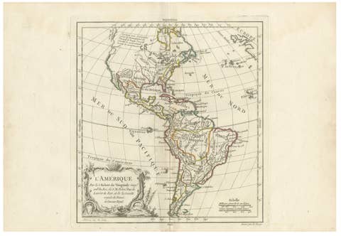
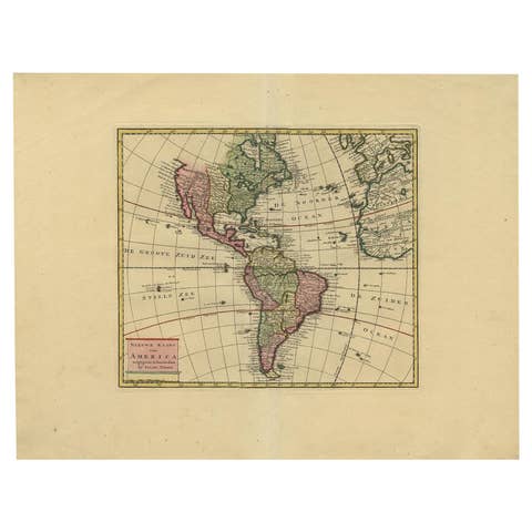
Nieuwe Kaart van het Westelykste Deel der Weereld, dienende tot aanwyzing van de Scheepstogten der Nederlanderen naar West Indie, a Dutch engraved map of the Americas published in Amsterdam by Isaak Tirion in 1754. A framed title block at the lower left carries the name, and a compass rose sits in the South Pacific.
The sheet covers both continents of the New World, with Greenland and Baffin Bay at the top and Africa and Europe at the right edge. The northwest coast is the notable feature: it includes the strait attributed to Martin d'Aguilar, shown as a possible Northwest Passage through to the Great Lakes, while the rest of the coast runs nearly straight north, with notes on the Russian voyages of 1743. California is drawn as a peninsula, with annotations about Quivira and Teguaio. The British and French colonies of the east are lettered along the Atlantic seaboard, and Hudson Bay, Labrador and the West Indies are named in Dutch.
Tirion's maps were largely based on those of Guillaume de l'Isle, and this one served Dutch readers following the sea routes to the West Indies.