maps-prints.com
✦
Black Friday Sale
Friday 20 to Monday 30 November: up to 30% off original antique maps and prints
The terms
- Up to 30% off selected original antique maps and prints. Every piece is an original, printed in its own time; none is a reproduction.
- The sale runs from Friday 20 November to Monday 30 November. Sale prices shown here apply from Friday 20 November; until then pieces are sold at their regular price.
- Free FedEx shipping on qualifying orders placed on our own websites: USA, Canada, UK and Europe over $500 / €450; rest of the world over $750 / €675. Smaller orders pay our normal shipping rate.
- Orders placed from 15 to 30 November ship from 1 December, in time for Christmas. Our shipping partner is InXpress.
- Each piece is unique, so the sale is while stock lasts.
Collection:AllAmericanSea chartsMilitaryNatural historyFashionArchitectureBotanicalSacredEast Indies
Sale prices apply from Friday 20 November. Save the pieces you like with the heart and come back on Friday.
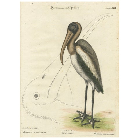 Antique Hand-Colored Engraving of the American Pelican, 19th Century
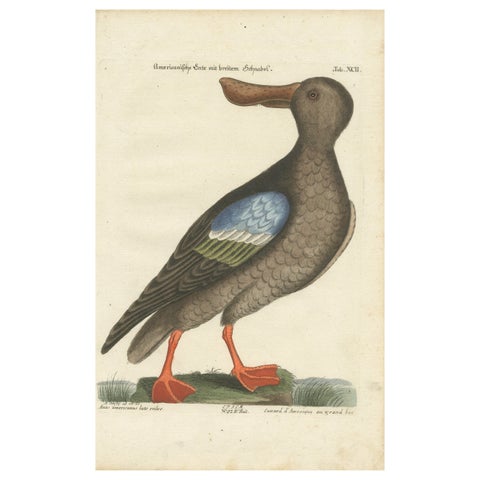 Hand-Colored Engraving of the American Duck with Broad Bill by Seligmann, c.1770
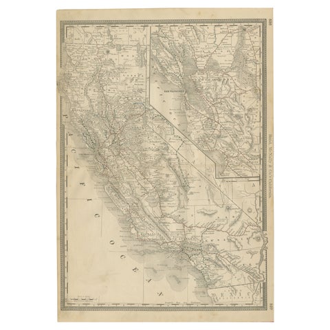 1888 California Map – The Golden State’s Railroads, Cities & Counties
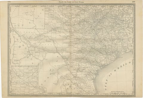 Texas Antique Map 1888 – Railroads, Counties & Frontier Settlements
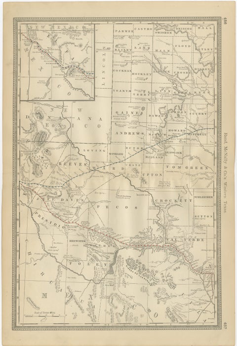 Western Texas Antique Map 1888 – Railroads, Counties & Frontier Towns
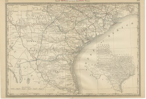 Antique Map 1888 – Southern Texas Railroads, Counties & Settlements
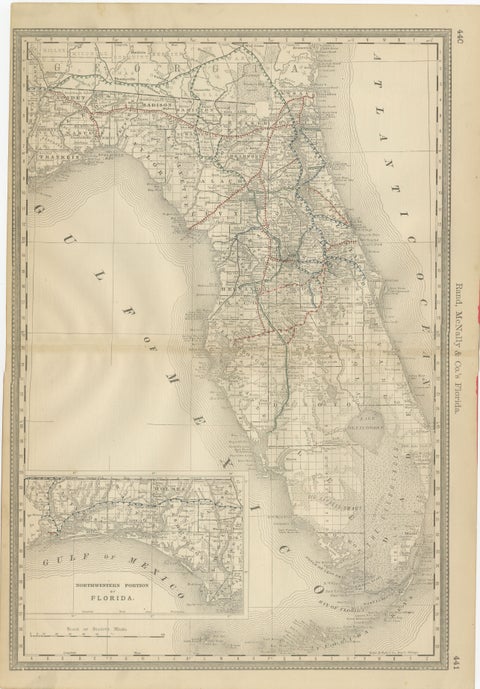 Florida 1888 Antique Map – Railroads, Settlements & Gulf Coast Detail
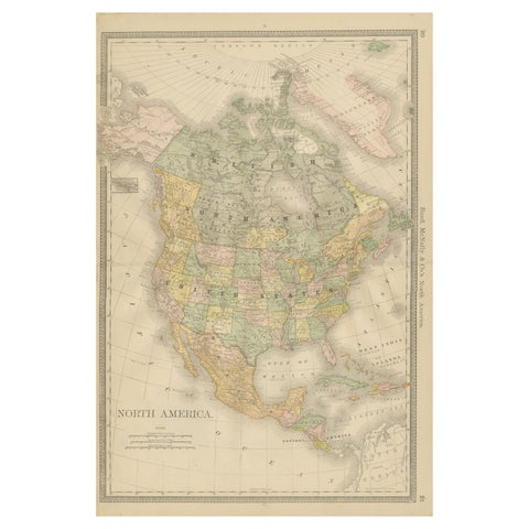 North America Antique Railroad Map c.1888 – U.S., Canada & Mexico
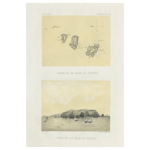 Chincha Islands Antique Lithograph 1865 – Map & Coastal Scene, Peru
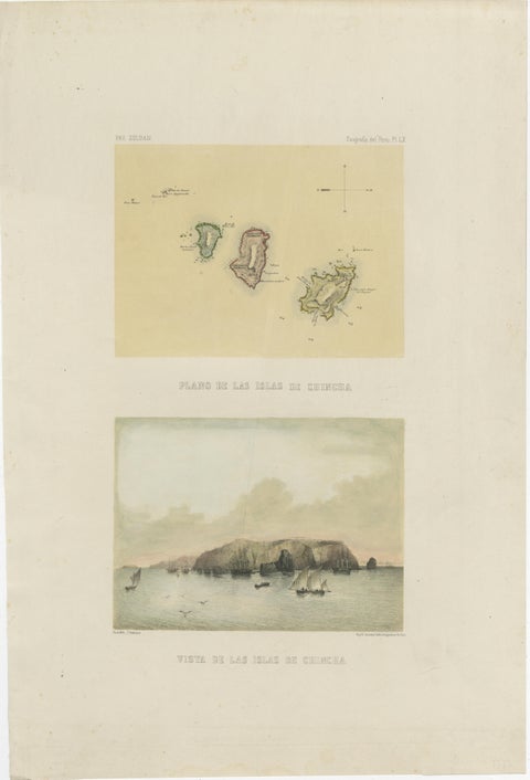 Hand-colored lithograph map and view of the Chincha Islands, Peru – 1865
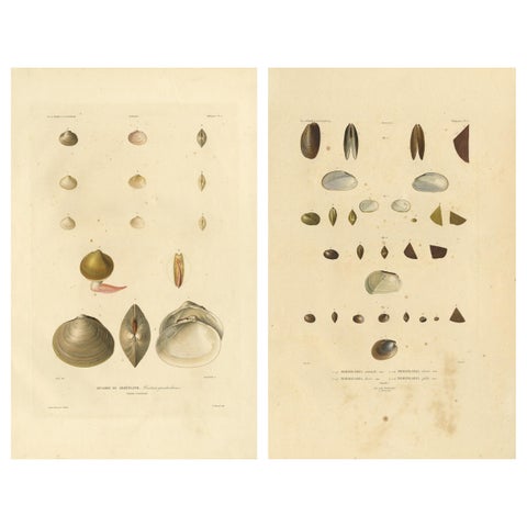 Antique Conchology Prints – Greenland Bivalves and Modiolaria Shells, 1842
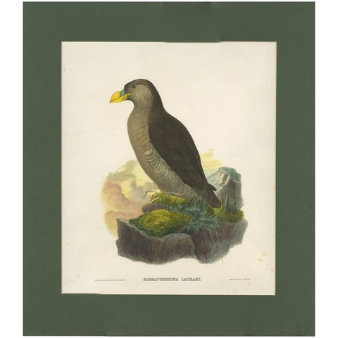 Antique Bird Print of a Latham's Guillemot Made after J. Wolf, 1868
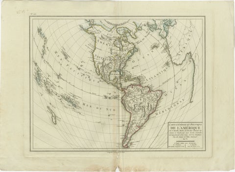 Antique Map of North and South America by Pierre Antoine Tardieu (1784-1869)
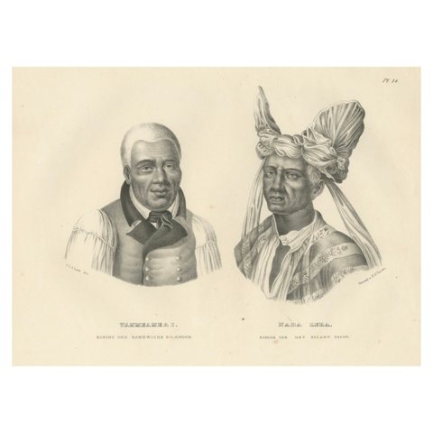 Portraits of Tammeamea I of Hawaii and Naba Leba of Solor by Brodtmann, 1836
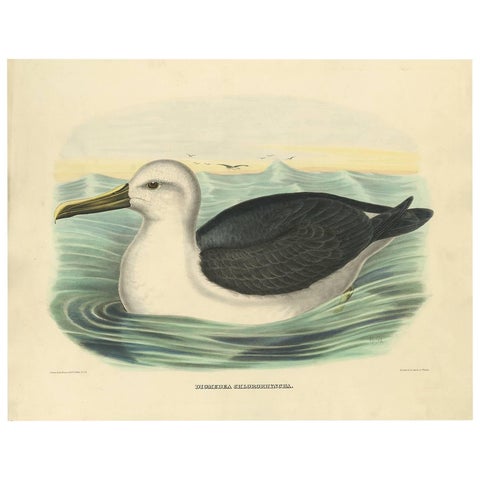 Antique Bird Print of a Yellow-Nosed Albatros Made After D.G. Elliot, 1869
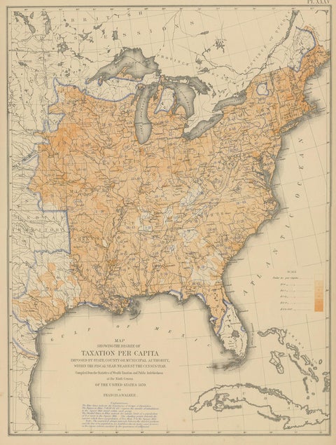 Pl. 35 Antique Chart of the US Taxation, 1874
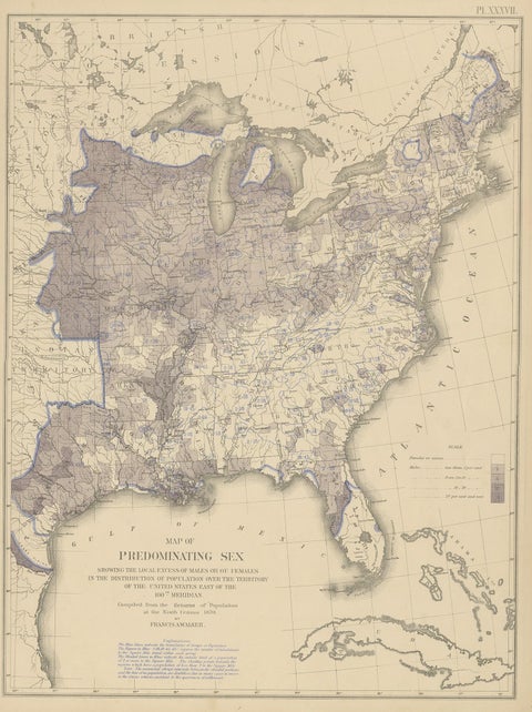 Antique Chart of the US Predominating Sex, 1874
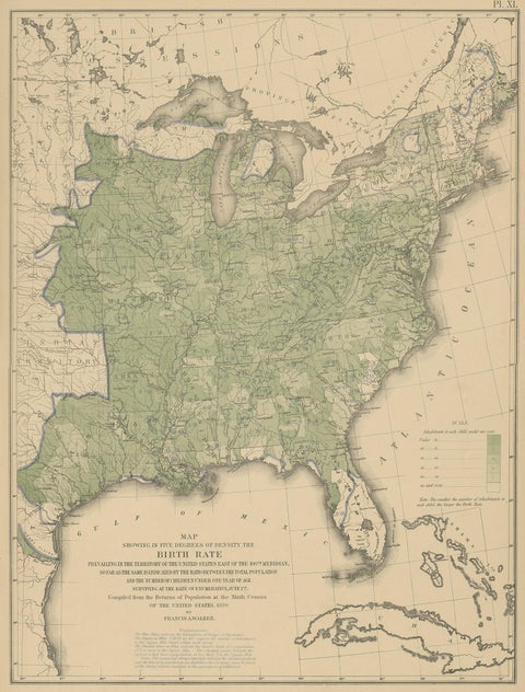 Pl. 40 Antique Chart of the US Birth Rate, 1874
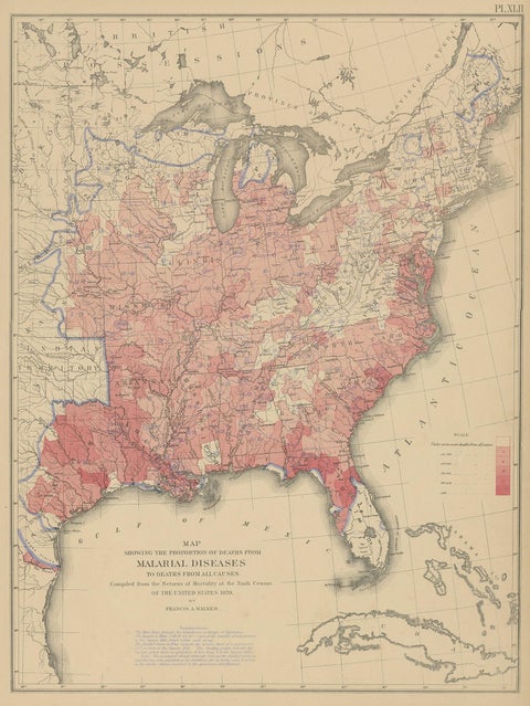 Antique Chart of the US Malarial Deaths, '1874'
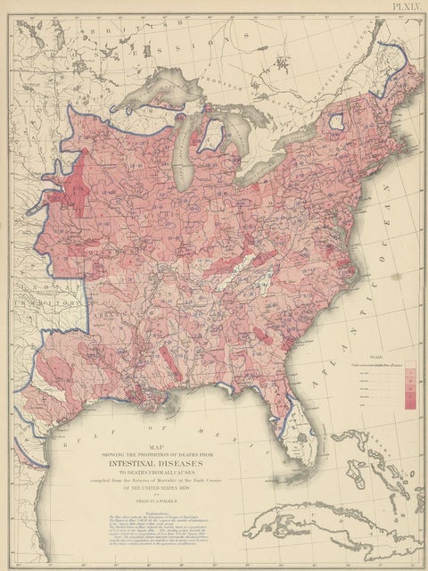 Pl. 45 Antique Chart of the US Inestinal Diseases Deaths, 1874
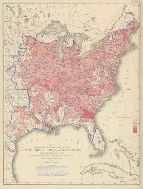 Antique Chart of the US Enteric, Cerebro-Spinal, Typhus Deaths, '1874'
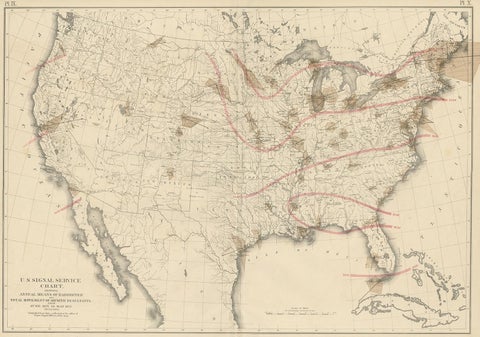 Pl. 9 Antique Map of the Air Movement of the United States by Walker '1874'
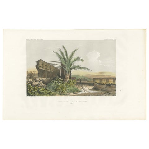 Antique Print of a Ruin in Concepción 'Chile' by D'Urville, circa 1850
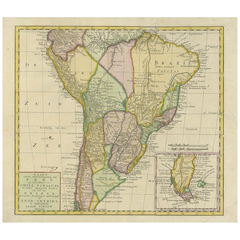 Antique Map of South America by Tirion 'circa 1765'
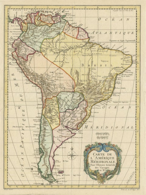 Antique Map of South America by De la Harpe '1780'
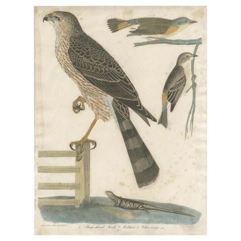 Antique Bird Print of the Red-Shinned Hawk, Redstart and a Warbler 'c.1820'
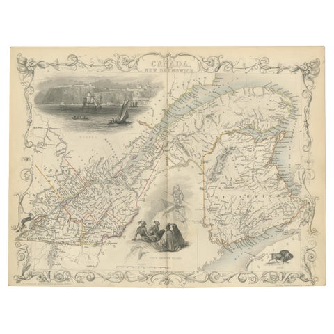 Antique Map of East Canada 'Quebec and New Brunswick' by Tallis 'c.1850'
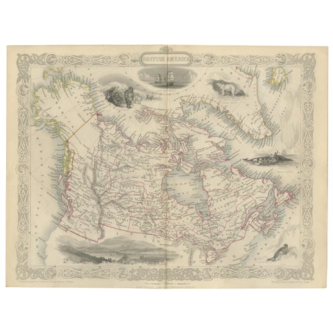 Antique Map of British America by Tallis 'c.1850'
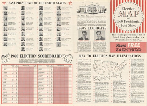 American Election Map and 1960 Presidential Fact Sheet, Published 1960
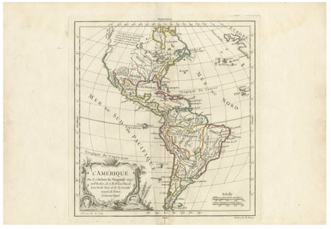 Map of the Americas by Robert de Vaugondy, Original Hand-Colored Map, 1757
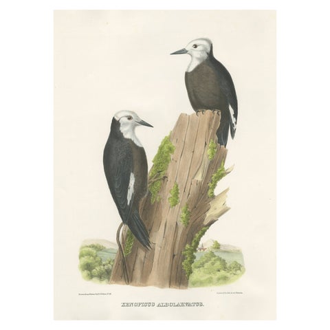 Antique Hand-Colored Print of North American White-Headed Woodpecker Birds, 1869
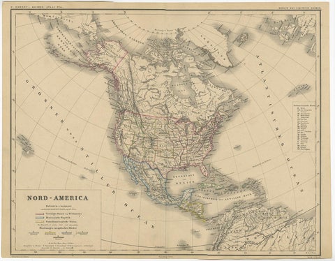 Old Original Antique German Map of North America, ca.1870
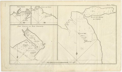 Antique Map of Cordes Bay, Port Famine & Fortescue Bay – Patagonia, 1774
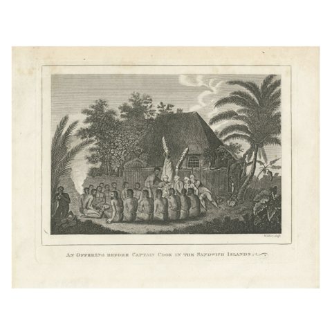 The Ceremonial Offering to Captain Cook in Hawaii, Engraved in 1778
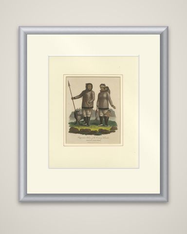 Inuit Eskimo Life: An 1812 Moravian Missionary's Account from the Labrador Coast
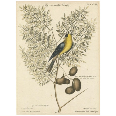 Bird Print of an American Goldfinch on a Branch Engraved and Hand-Colored, 1749
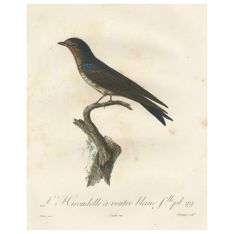 The White-Bellied Caribbean Martin – An 1807 Ornithological Illustration
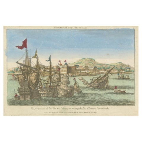 Naval Battle Off St. François (Campeche, Mexico), ca. 1780
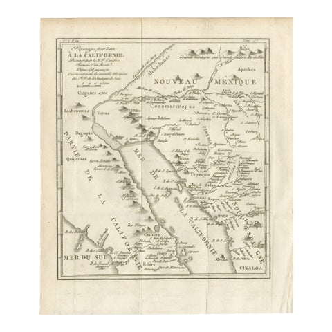 Old Map of the Overland Route to California – Early Exploration Pathways, 1701
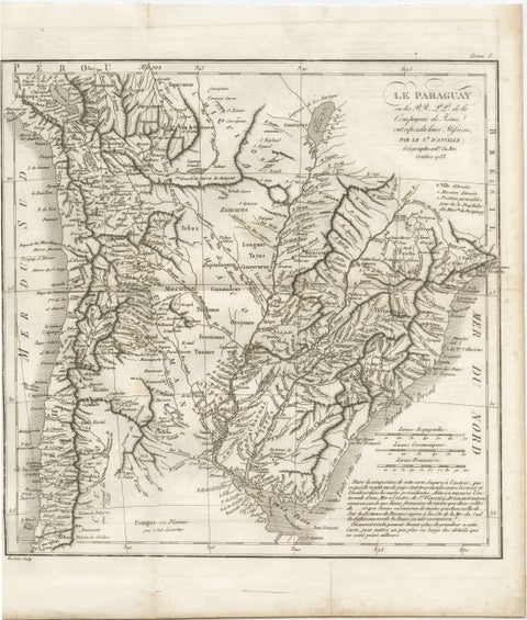 Antique Map of Paraguay and Jesuit Missions by D’Anville, 1733
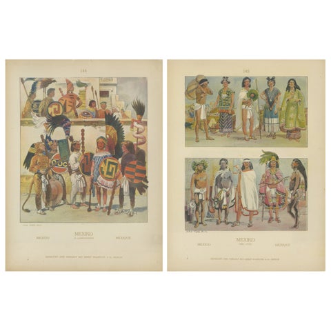 Aztec & Early Mexican Costumes, Set of 2 Antique Prints, 1500–1525, ca.1880
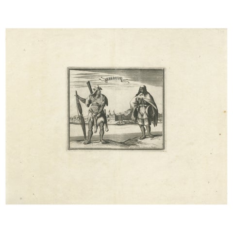 Campeche Mexico Engraving with Indigenous Figures by Allard Van der Aa, c1720
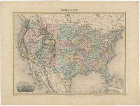 Antique Map of the United States with Vignette of Washington
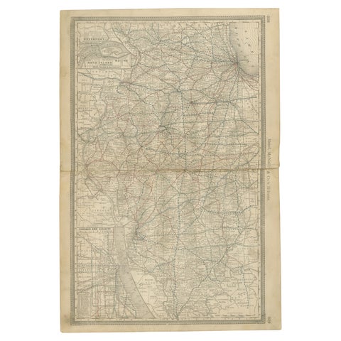 Detailed Antique Map of Illinois – Railroads, Cities & Counties, 1888
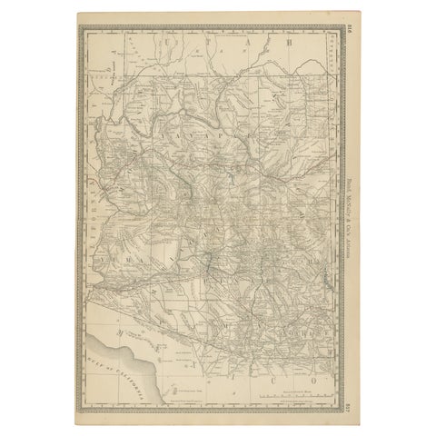 Rare 1888 Map of Arizona – Railroads, Mines & Early Frontier Settlements
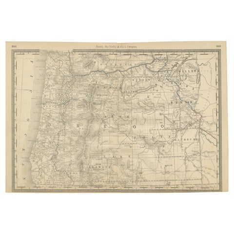 1888 Antique Map of Oregon – Railroads, Counties & Native Indian Reservations
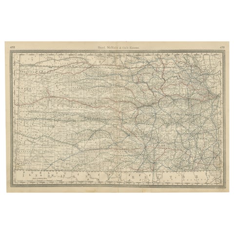 Kansas Railroad Map 1888 – Rand McNally Antique Lithograph
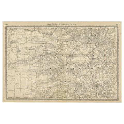 Indian Territory Map 1888 – Rand McNally Antique Lithograph
Sharing the sale? Download the Black Friday banners.